
Search for another town


Free U.S. delivery 7 to 10 days after you order
Charleston, South Carolina Map Art
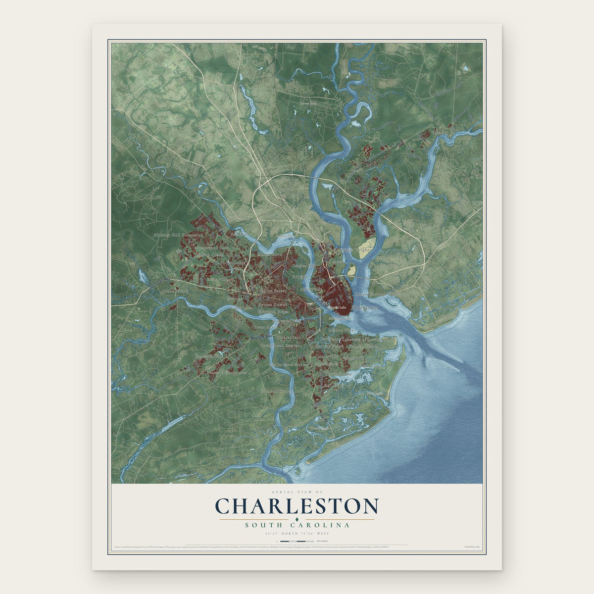
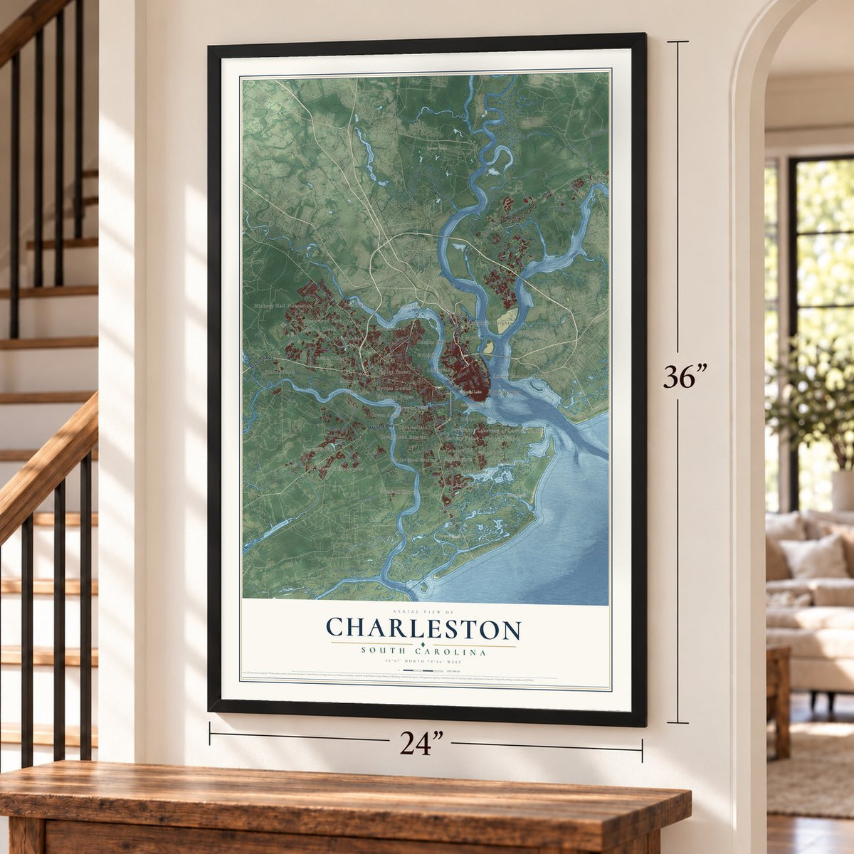
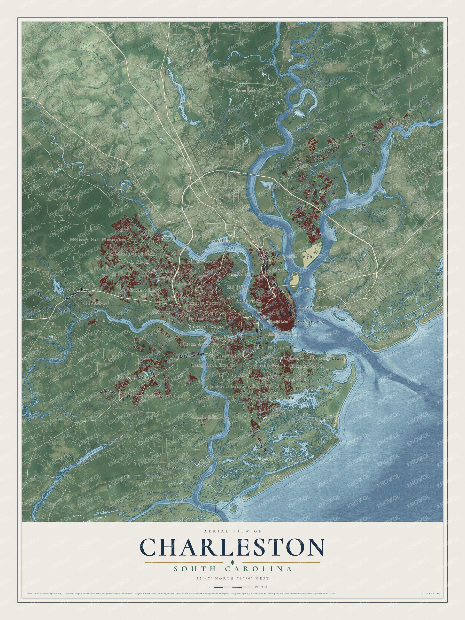
A new map of Charleston, South Carolina, made in 2026 and printed to order on thick archival matte paper.
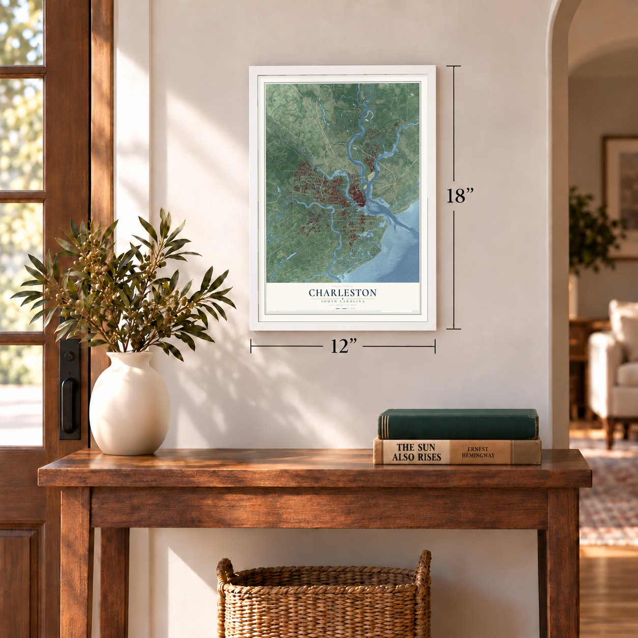
12" x 18" Archival Matte Print
A Map of Home. A Work of Art.
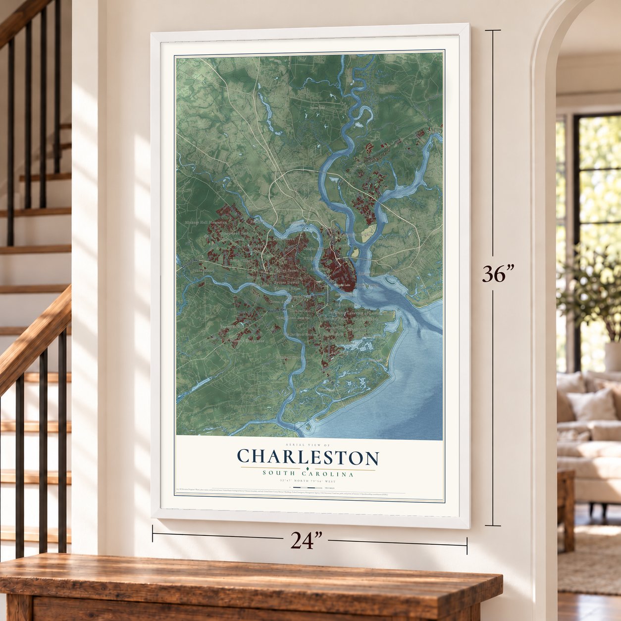
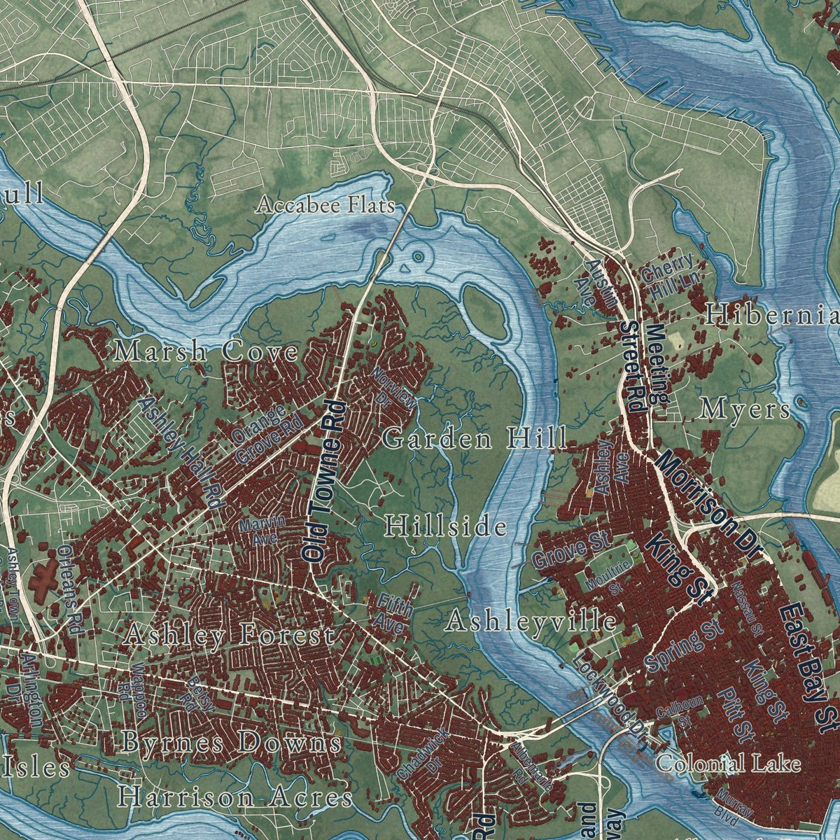
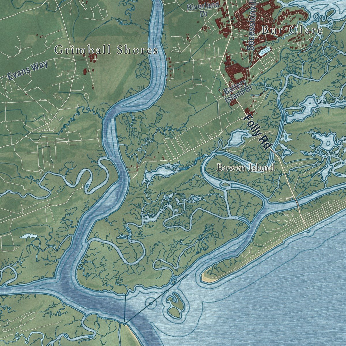
Explore Charleston, South Carolina from a whole new perspective. Created using aerial imagery and detailed geographic data, this map captures Charleston building by building, with labeled streets, familiar landmarks, and shaded topographical relief that highlights the natural contours of the landscape.
Combining modern data with the timeless character of a vintage atlas, this map is just as interesting up close as it is beautiful on the wall. Whether you grew up in Charleston, spent memorable years there, or call it home today, this unique map is a great way to celebrate a place that means something to you. Zoom in on the preview to look for your street, and then order a print to put your memories on the wall.
Three ways to hang it
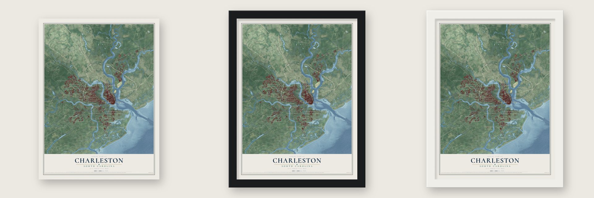
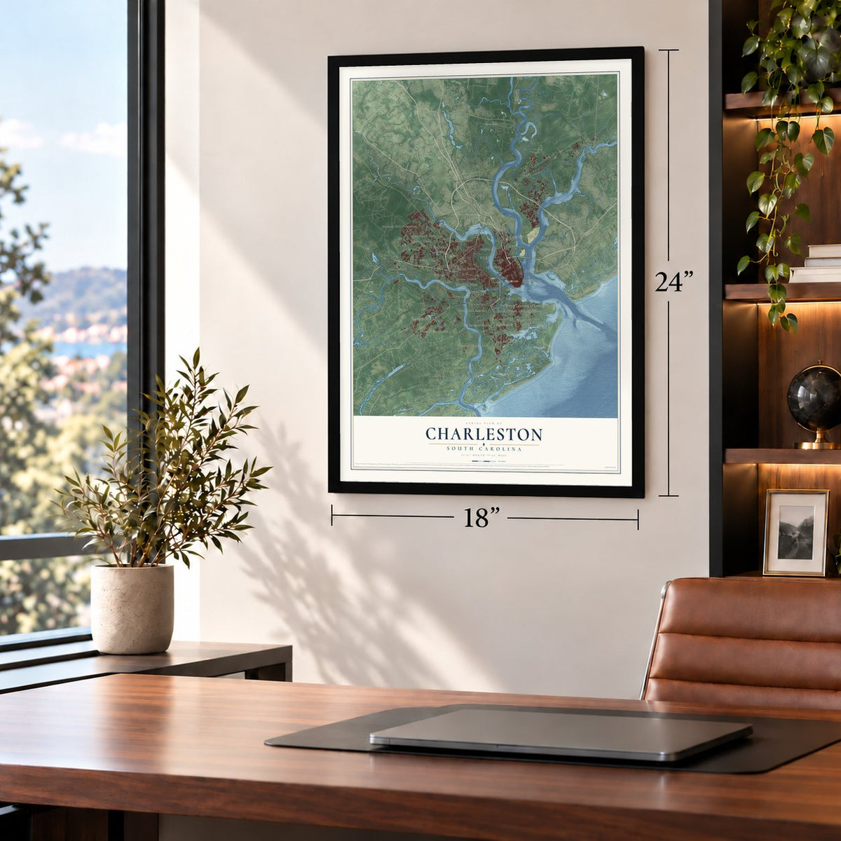
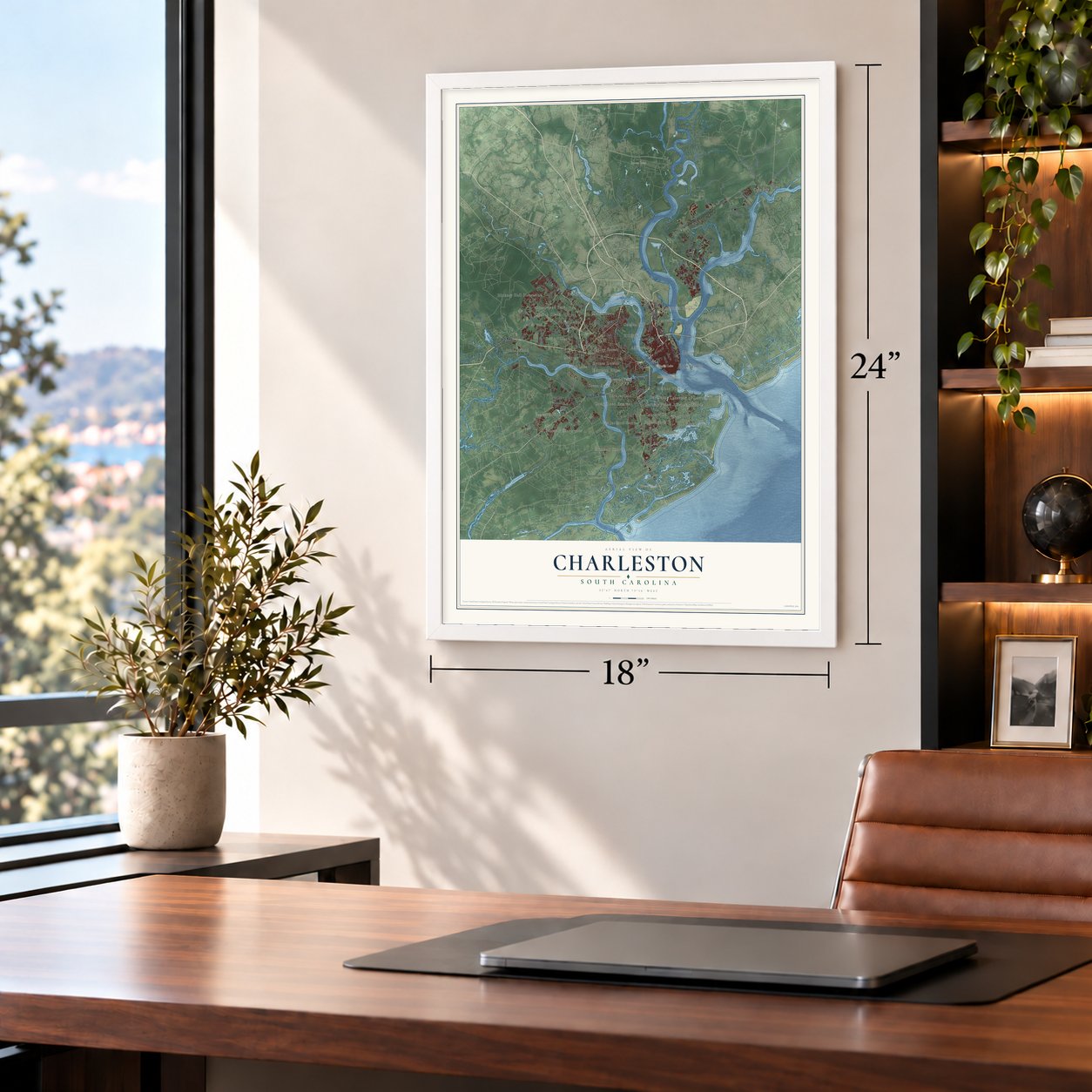
Unframed archival matte, a black wood frame or a white wood frame.
Up close
Geography Worth Displaying
This map was created using accurate cartographic data and authoritative geographic sources, including the U.S. Geological Survey and the Census Bureau. The map brings together terrain, waterways, roads, and building detail. The majority of the streets are labeled, houses are accurately depicted, and the topography is derived from government sources. Combining local data with carefully composed color and shading leads to this beautifully detailed Charleston artwork for your wall.
Rather than simply showing street outlines, we’ve included as many of the street names as we could reasonably fit on the map while keeping their names legible. Zoom in on the high resolution preview to see exactly what’s on the map. We truly set out to create a statement piece for anyone who loves Charleston. So whether it’s for you, or a gift for someone you love, we hope this map of Charleston brings back fond memories.
Read the story behind this map of Charleston, South Carolina from 2026.

About Charleston, South Carolina
Charleston is a city of 150,227 people and the seat of Charleston County. It sits on Charleston Harbor, where the Ashley, Cooper and Wando rivers flow together. In 1670 Governor William Sayle brought shiploads of settlers from Bermuda and Barbados, and they built Charles Town, named for King Charles II, at Albemarle Point across the Ashley. Around 1672 some of them started a second village on Oyster Point, between the Ashley and the Cooper.
Oyster Point was easier to defend and had a fine natural harbor, so in 1680 it formally took the place of the first town, which faded away. By 1690 it ranked as the fifth largest town in North America. The state capital moved to Columbia in 1788, but Charleston stayed among the ten largest cities in the country through 1840.
“Charleston was the first permanent European settlement in Carolina, its first seat of government, and the most important city in the southern United States well into the nineteenth century.”
- Blackbeard's siege of 1718Pirates were drawn to the town from the 1670s on by its weak and corrupt government. In May 1718 the pirate Blackbeard held Charles Town under siege for several days. He let his hostages go and sailed off once Governor Robert Johnson handed over a chest of medicine.
- Fever, fire and floodSmallpox broke out in 1698, and an earthquake in February 1699 set off a fire that burned about a third of the town. While people rebuilt, yellow fever killed about 15% of those left. A hurricane in September 1713 flooded much of the town and killed at least seventy people.
- Rice, indigo and the GullahTobacco grew poorly here, so planters tried other crops. Rice paid well, and they paid extra for enslaved people from Africa's "Rice Coast" who knew how to grow it. Their descendants are the Gullah, who made their own culture and language. In 1747 enslaved people from the Caribbean showed Eliza Lucas how to raise indigo and use it for dye.
- Center of the slave tradeBy the middle of the 1700s Charlestown was the hub of the slave trade in the Southern Colonies, and about 40% of all Africans shipped in slavery to North America from 1700 to 1775 passed through its customs. Gadsden's Wharf, built on the Cooper River in 1767, grew to 840 feet and could hold six ships at once, and many people were sold there. In 2018 the city formally apologized for its part in the trade.
- Kahal Kadosh Beth ElohimHuguenots, Scots, Irish and Germans settled here early, along with hundreds of Sephardic Jews from London and the Dutch Republic. No Jewish community in North America was richer or better known than Charleston's, and it still held that place in 1830. Its Kahal Kadosh Beth Elohim Synagogue is on the National Register.
Find your street
Names on the Charleston map
Every name below is printed on this map. Look for your street, your school, the park where you played, or the pond down the road.
Places and landmarks46
- Downtown
- Accabee Flats
- Albemarle Point
- Black Island
- Bowen Island
- Brown Pond
- Colonial Lake
- Anson Borough Homes
- Ashley Forest
- Ashleyville
- Battery Point
- Bayfront
Show all 46 places
- Bur Clare
- Byrnes Downs
- Cainhoy
- Camp Road Estates
- Capri Isles
- Centerville
- Chesterfield
- Church Creek
- Clarks Sound
- Dogwood Park
- Essex Village
- Farmington
- Fenwick Crossroads
- Fenwick Hills
- Forest Lakes
- Fort Bull
- Garden Hill
- Green Acres
- Green Hill
- Greenwood Park
- Grimball Shores
- Harbor View
- Harbor Woods
- Harrison Acres
- Hibernian Heights
- Hickory Hall Plantation
- Hillside
- Holiday Acres
- Johns Island
- Lakeview of Lawton Bluff
- Lee Jackson Estates
- Marsh Cove
- Melrose
- Myers
Streets and roads103
- Morrison Drive
- Savannah Highway
- King Street
- East Bay Street
- Ashley River Road
- Folly Road
- Maybank Highway
- Old Towne Road
- Spring Street
- Clements Ferry Road
- State Road S-8-33
- River Road
- Bees Ferry Road
- Cainhoy Road
- Brick Church Road
- Seven Farms Drive
- Main Road
- Secessionville Road
- Ashley Hall Road
- Halfway Creek Road
- Pierce Street
- Cane Slash Road
- Grove Street
- Evans Way
- Carter Lane
- Pitt Street
- Meeting Street Road
- James Island Expressway
- Island Park Drive
- Riverland Drive
Show all 103 streets
- Harbor View Road
- Ashley Avenue
- Daniel Island Drive
- Lockwood Drive
- Orange Grove Road
- Cain Hoy Plantation Drive
- Rutherford Way
- Carolina Bay Drive
- Camp Road
- Cainhoy Plantation Road
- Highway 98
- Fifth Avenue
- Blakeway Street
- Stefan Drive
- Wando Mtwy
- Lesesne Street
- Austin Avenue
- Orleans Road
- Watroo Point
- Arlington Drive
- Sweetleaf Lane
- Battery Island Drive
- Hoover Road
- Cornsilk Drive
- August Road
- Cherry Hill Lane
- Fitzroy Drive
- Marlin Road
- Utsey Street
- Faust Road
- Ivy Circle
- State Road S-10-91
- Shadowmoss Parkway
- Wappoo Road
- Chadwick Drive
- Rivers Reach Drive
- State Road S-10-1441
- Guerin Landing Road
- Betsy Road
- Peninsula Cove Drive
- Barons Drive
- Hopewell Drive
- Dalton Street
- Marvin Avenue
- Ralston Creek Street
- Norview Drive
- Battle Trail Drive
- Murray Boulevard
- Glenn McConnell Parkway
- Calhoun Street
- Ashley Town Center Drive
- Rushland Landing Road
- Dogwood Road
- Bluewater Way
- Nassau Street
- Country Club Drive
- Forest Glen Drive
- Albemarle Road
- Lochaven Drive
- Moultrie Street
- Jack Primus Road
- Towne Street
- Blue Sky Lane
- Aruba Circle
- Seven Sticks Drive
- Barbados Drive
- Langston Drive
- Pinefield Drive
- Beech Hill Drive
- Ellis Oak Drive
- Tuxbury Farm Road
- Cross Bow Court
- Updyke Drive
Names are listed as they appear on the printed map. Zoom into the product photos to find them.
The art of mapping a place
How This Map Was Made
Real places. Remarkable detail. Discover the layers that turn geographic data into a map of home.

The view from above
Aerial imagery reveals the character of the land: woodland, open fields, and the patterns of a place.

The shape of the land
Elevation data brings hills, valleys, and subtle changes in the landscape into view.

The details of home
Roads, waterways, and building footprints come together to make the map feel unmistakably local.

Geography becomes art
Considered color, shading, and typography bring the layers together in a map made for your wall.


Process illustrated with Mendon, Massachusetts. Aerial imagery: USDA NAIP. Terrain: USGS 3D Elevation Program. Map details and finished artwork: KNOWOL.
The Details
About This Print
Choose an archival matte print, or a black or white Ayous wood frame. The archival matte print is unframed.
Select your size and finish above to see the matching product image and price.
Materials & Craftsmanship
A contemporary map with the character of a classic atlas, printed on archival matte paper. Optional frames are made from Ayous wood.
Your printed map does not include the watermark shown in the full-map preview.
Shipping & Delivery
Free shipping within the United States. Every print is made to order in the USA.
Buying a gift? Add a note in your cart and we'll include it. We never put prices in the package.
Prints ship within 2 to 3 business days. Allow 7 to 10 days total from ordering for delivery. Timing may vary during holidays or periods of high order volume.
Read our shipping policy.
Returns and damaged prints
Each print is made to order. Change-of-mind refunds are not available after production.
If your print arrives damaged, misprinted or incorrect, contact support@knowol.com within 30 days of receiving it. Include your order number, photos and a description of the issue.
Read our full refund and replacement policy. For questions about your order, email support@knowol.com.
Find your town
Looking for another city?
Find a map of home in our South Carolina collection, or any town in the country.
Nearby
Maps of towns near Charleston
Know someone from one of these towns? Their map makes a great gift.
 Mount Pleasant
, South Carolina
From $39.99See the map
 James Island
, South Carolina
From $39.99See the map
 Hanahan
, South Carolina
From $39.99See the map
More maps nearby: North Charleston, Sullivan's Island, Folly Beach, Goose Creek and Isle of Palms.