
Search for another town


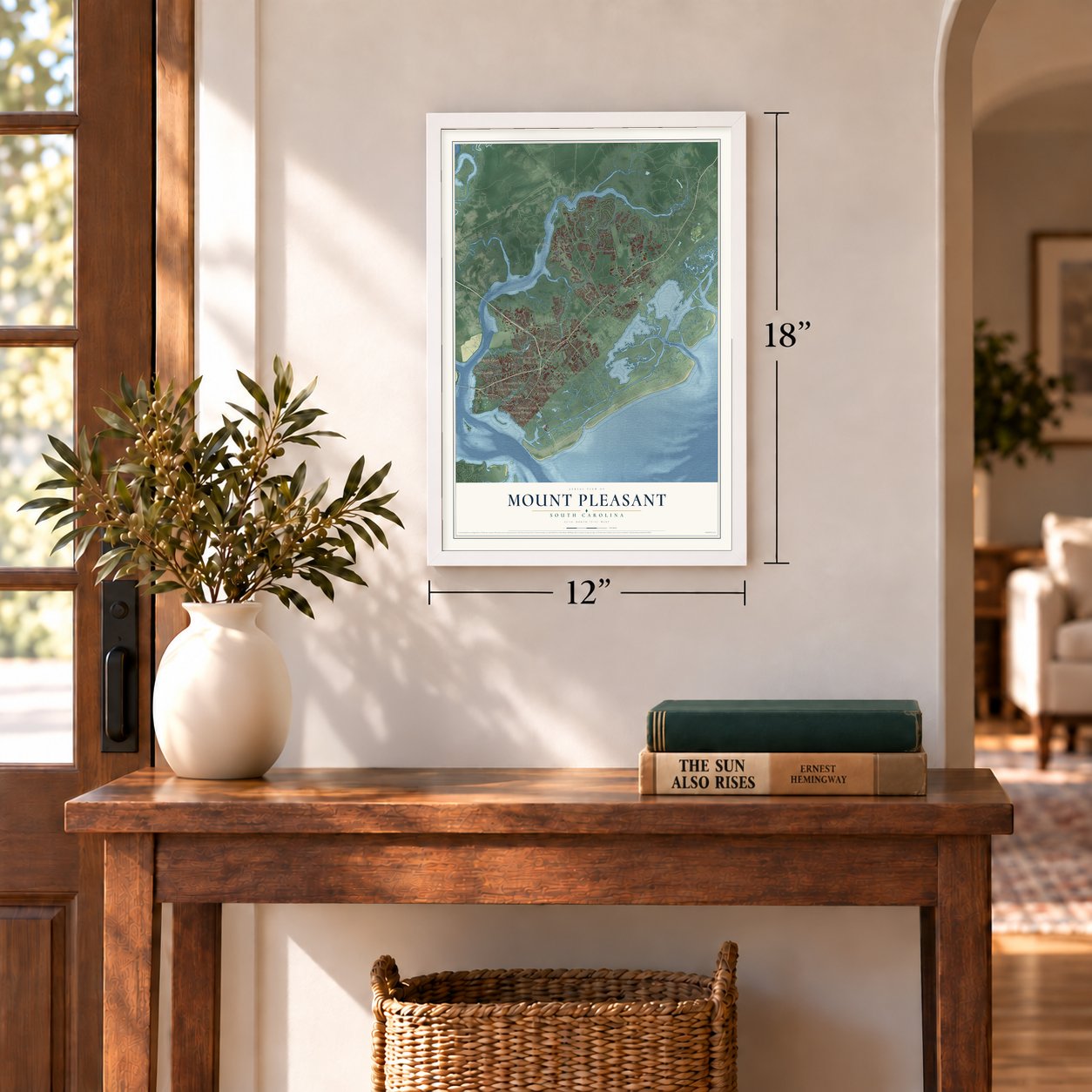

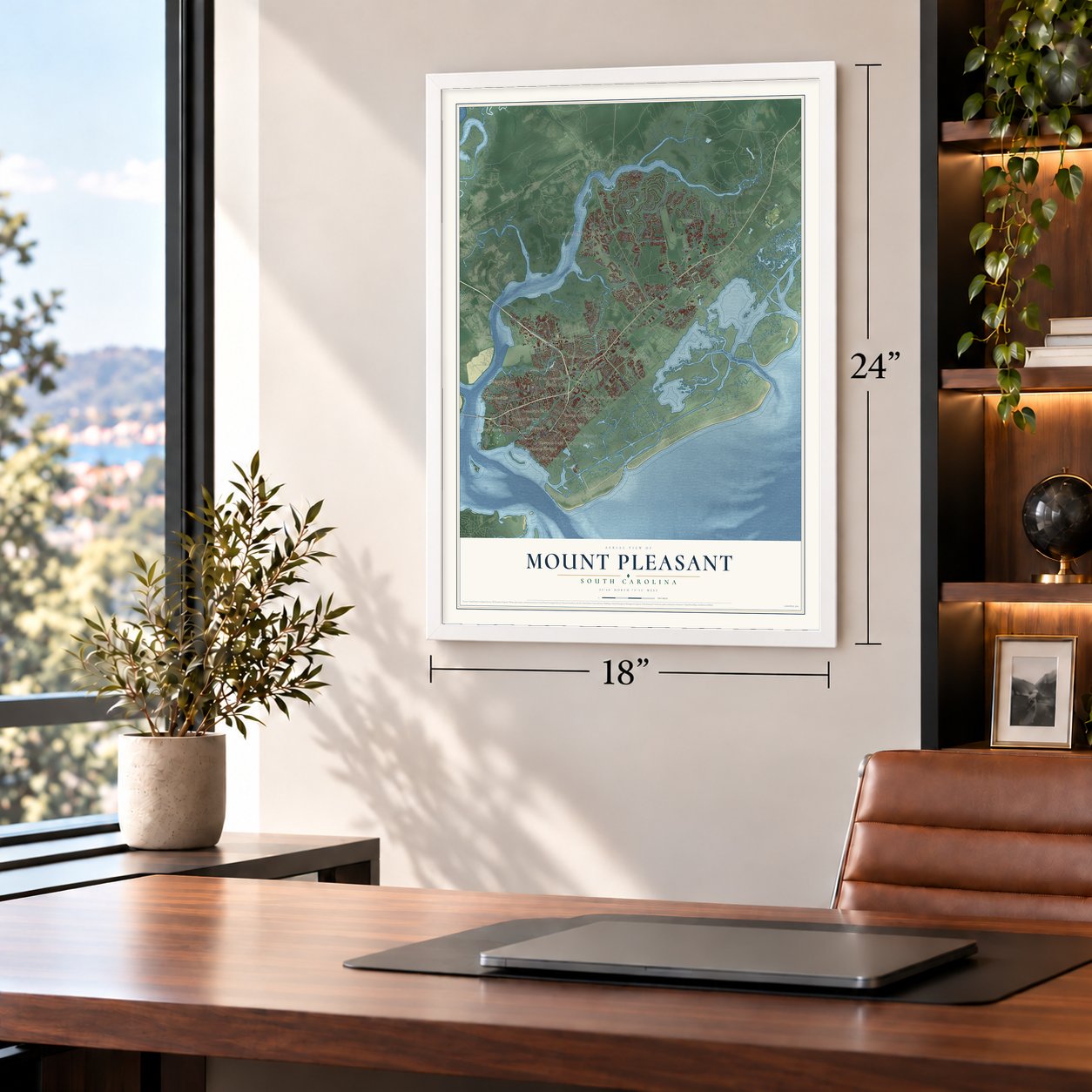
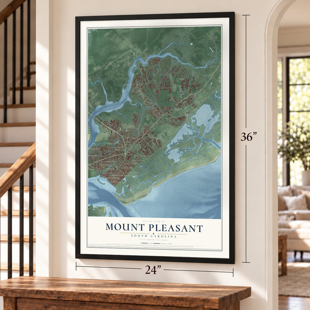
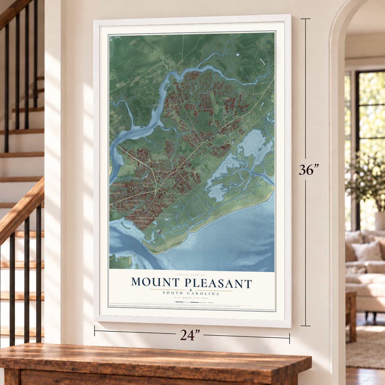
Free U.S. delivery 7 to 10 days after you order
Mount Pleasant, South Carolina Map Art
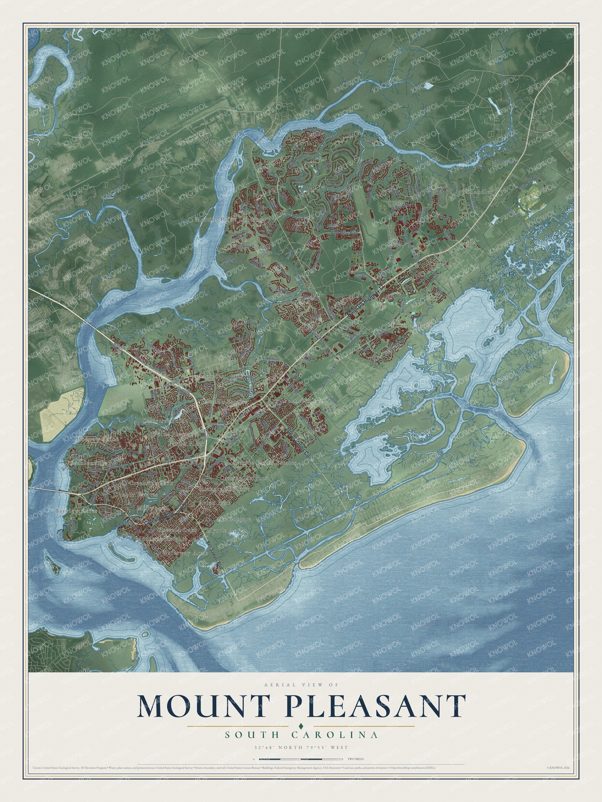
A new map of Mount Pleasant, South Carolina, made in 2026 and printed to order on thick archival matte paper.
12" x 18" Archival Matte Print
A Map of Home. A Work of Art.
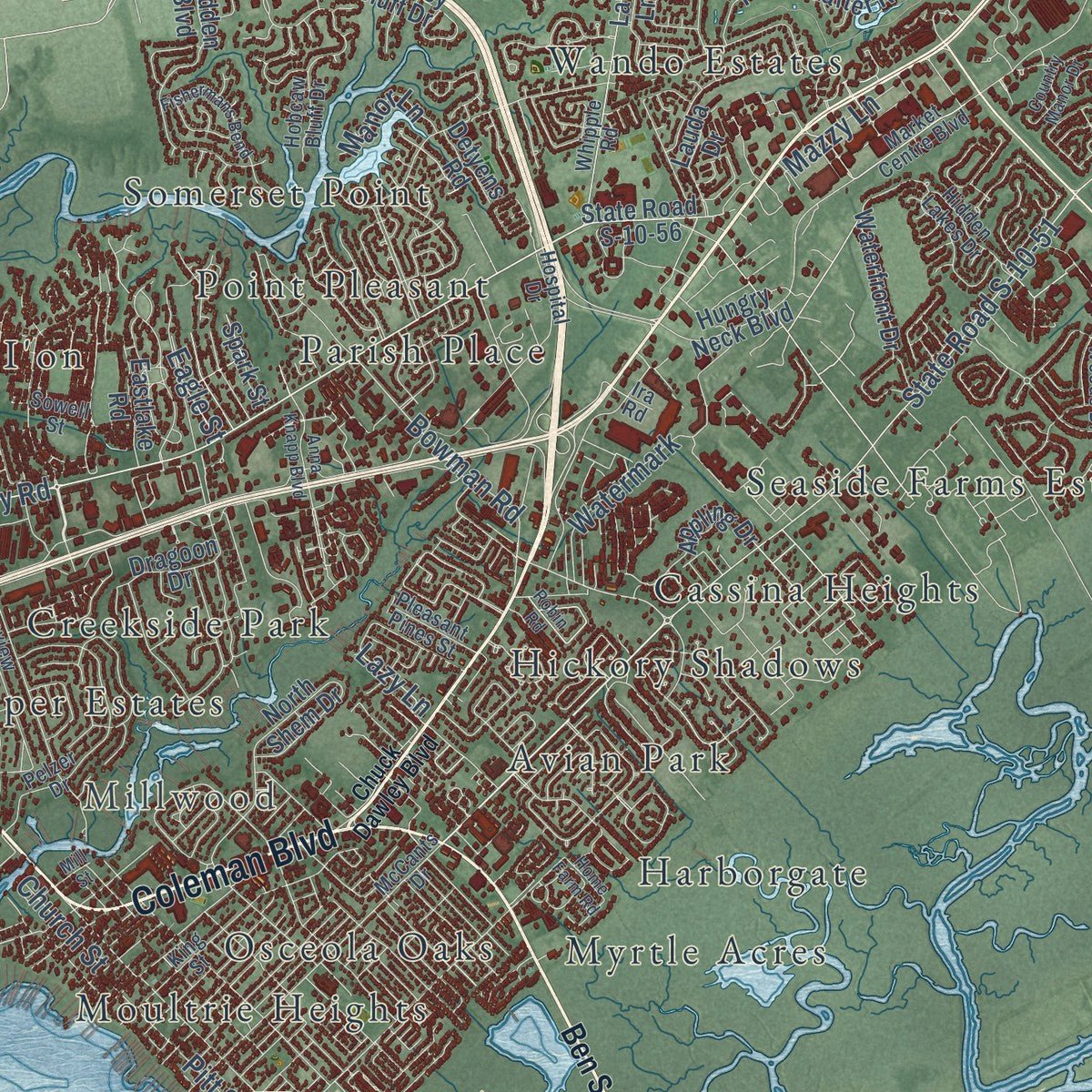
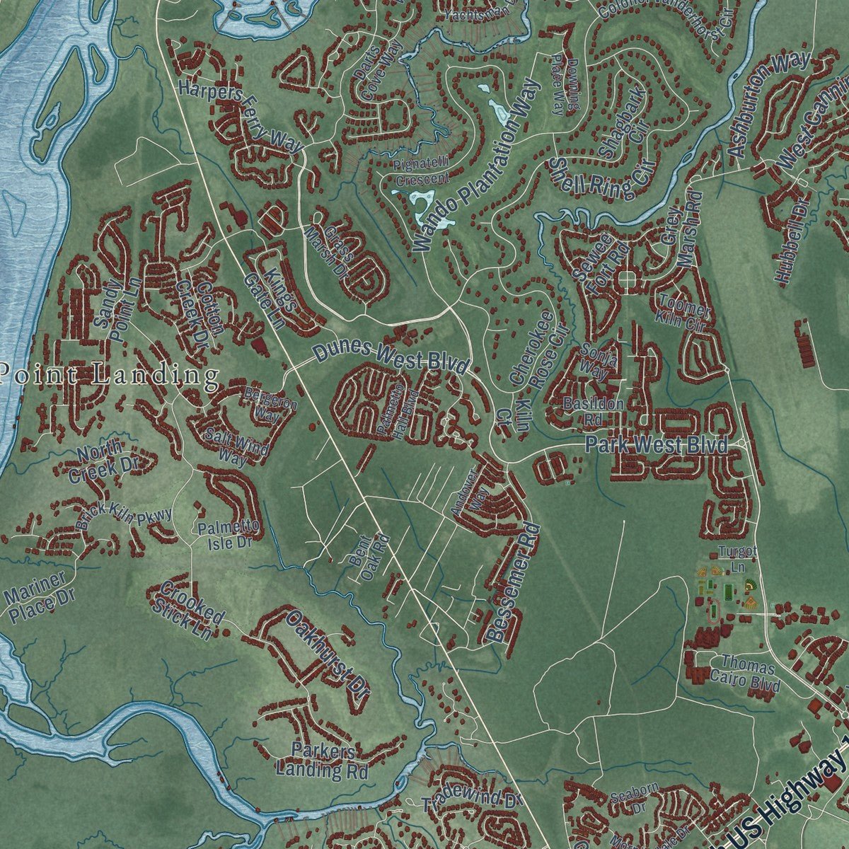
Explore Mount Pleasant, South Carolina from a whole new perspective. Created using aerial imagery and detailed geographic data, this map captures Mount Pleasant building by building, with labeled streets, familiar landmarks, and shaded topographical relief that highlights the natural contours of the landscape.
Combining modern data with the timeless character of a vintage atlas, this map is just as interesting up close as it is beautiful on the wall. Whether you grew up in Mount Pleasant, spent memorable years there, or call it home today, this unique map is a great way to celebrate a place that means something to you. Zoom in on the preview to look for your street, and then order a print to put your memories on the wall.
Three ways to hang it
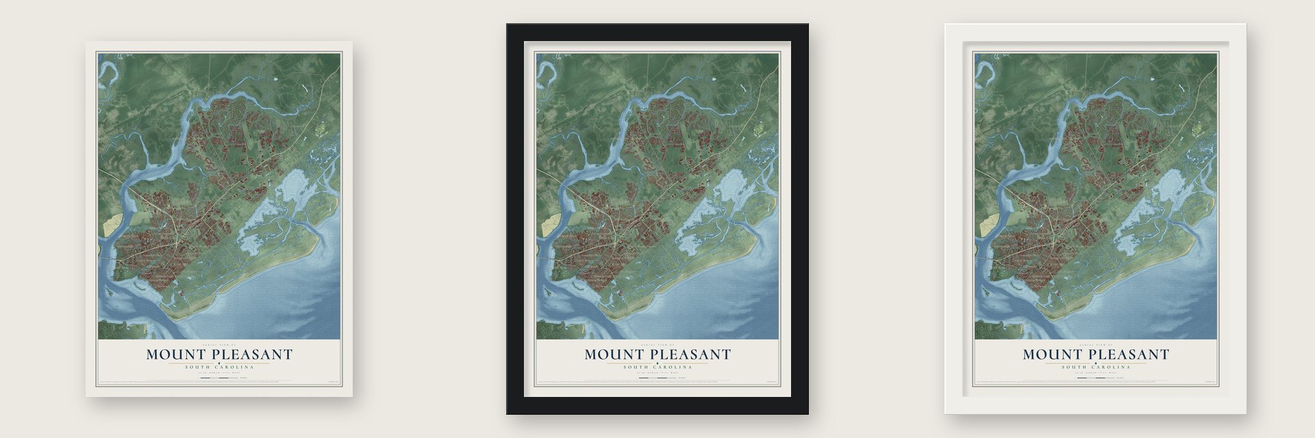
Unframed archival matte, a black wood frame or a white wood frame.
Up close
Geography Worth Displaying
This map was created using accurate cartographic data and authoritative geographic sources, including the U.S. Geological Survey and the Census Bureau. The map brings together terrain, waterways, roads, and building detail. The majority of the streets are labeled, houses are accurately depicted, and the topography is derived from government sources. Combining local data with carefully composed color and shading leads to this beautifully detailed Mount Pleasant artwork for your wall.
Rather than simply showing street outlines, we’ve included as many of the street names as we could reasonably fit on the map while keeping their names legible. Zoom in on the high resolution preview to see exactly what’s on the map. We truly set out to create a statement piece for anyone who loves Mount Pleasant. So whether it’s for you, or a gift for someone you love, we hope this map of Mount Pleasant brings back fond memories.
Read the story behind this map of Mount Pleasant, South Carolina from 2026.

About Mount Pleasant, South Carolina
Mount Pleasant is a town of 90,801 people in Charleston County, facing Charleston across the Cooper River. The Sewee people lived here before English settlers landed on July 6, 1680, led by Captain Florentia O'Sullivan. His grant of 2,340 acres took in this point and the island that later carried his name. In 1696, 51 more settlers came, and each family received several hundred acres in what became Christ Church parish. The villages of Mount Pleasant and Greenwich joined in 1837 and incorporated as one town.
For many years the town filled up mostly in summer. Charleston families who could afford a second home crossed the river, hoping to escape the summer fevers, and settled in the Old Village. There Jacob Motte, a descendant of French Huguenots, had built the Hibben House at 111 Hibben Street in 1755. Mount Pleasant was the Berkeley County seat from 1882 until 1895, when the seat moved to Moncks Corner. After Hurricane Hugo struck on September 21, 1989, newcomers poured in, and the town grew from roughly 23,000 people in 1990 to roughly 47,000 in 2000.
- A secession vote and a submarineA public meeting here on September 24, 1860, passed the first secession resolution in South Carolina, and the state's secession convention met in Charleston that December 20. During the war, the H. L. Hunley, a Confederate submarine with a crew of nine, trained here in secret, crossing Breach Inlet on a plank-and-barrel footbridge to test the boat. In 1864 the Hunley set out from Breach Inlet and sank the USS Housatonic.
- Scanlonville, built by freedmenAfter the Civil War, Robert Scanlon, a freedman and carpenter, founded the Charleston Land Company with 100 local freedmen, who pooled their savings at $10 a share. The company bought Remley's Plantation, 614 acres on the Wando River, and split it into farm lots and smaller city lots so freedmen could own land. Scanlonville became one of the first African American communities in the Charleston area, and Remley Point Cemetery lies within it.
- Riverside PavilionRiverside opened in 1930, when state law kept public places segregated, and became the largest and oldest of Charleston County's five beaches for Black residents. Its Wando River pavilion was the only place Black Charlestonians could hear Duke Ellington, Count Basie, Louis Armstrong and B.B. King. After the owner died in 1975, the county took over the park, then sold it to developers, and they built a gated community that shut the public off the waterfront.
- Three bridges to CharlestonThe two-lane Grace Memorial Bridge opened as a toll bridge in 1928, crossing Town Creek, Drum Island and the Cooper River. The larger Silas N. Pearman Bridge joined it in 1966. The Arthur Ravenel Bridge, with eight lanes, replaced both when it opened to cars on July 16, 2005. At its foot is Patriots Point, where the World War II aircraft carrier USS Yorktown is now a museum ship.
Find your street
Names on the Mount Pleasant map
Every name below is printed on this map. Look for your street, your school, the park where you played, or the pond down the road.
Places and landmarks26
- Bayview Acres
- Scanlonville
- Hobcaw Point
- Millwood
- Avian Park
- Cassina Heights
- Chandler
- Cooper Estates
- Creekside Park
- Harborgate
- Hickory Shadows
- I'on
Show all 26 places
- Martins Point Landing
- Moultrie Heights
- Myrtle Acres
- Osceola Oaks
- Palmetto Fort
- Parish Place
- Point Pleasant
- Porcher Bluff
- Seaside Farms Estates
- Snowden
- Somerset Point
- Ten Mile
- Wando Estates
- Waterway Arms
Streets and roads173
- Coleman Boulevard
- North US Highway 17
- Isle of Palms Con
- State Road S-10-51
- Rifle Range Road
- Park West Boulevard
- Mathis Ferry Road
- Wando Plantation Way
- Hobcaw Drive
- National Drive
- Dunes West Boulevard
- Bowman Road
- Airport Road
- Long Point Road
- Carolina Park Boulevard
- Omni Boulevard
- Maidstone Drive
- Shell Ring Circle
- Brickyard Parkway
- Pitt Street
- Tobacco Road
- Bulls Bay Boulevard
- Bolden Drive
- Bessemer Road
- Casseque Province
- Six Mile Road
- Sand Marsh Lane
- Faulkner Drive
- Ashburton Way
- West Canning Drive
Show all 173 streets
- Oakhurst Drive
- Egypt Road
- Bayview Drive
- Tupelo Bay Drive
- Turnstone Street
- Watermark
- Mazzy Lane
- Wingo Way
- Historic Drive
- Manor Lane
- Fifle Street
- Church Street
- Eagle Street
- Lazy Lane
- Ben Sawyer Boulevard
- State Road S-10-56
- Harpers Ferry Way
- Commonwealth Drive
- State Road S-10-97
- Wando Park Boulevard
- Patriots Point Road
- Porchers Bluff Road
- Darrell Creek Trail
- Needlerush Parkway
- Grey Marsh Road
- Cherokee Rose Circle
- Law Lane
- Farm Quarter Road
- Sandy Point Lane
- River Vista Way
- Kings Gate Lane
- Appling Drive
- Mount Royall Drive
- Hidden Boulevard
- Hungry Neck Boulevard
- Chimney Bluff Drive
- Shagbark Circle
- Woodspring Road
- Waterfront Drive
- Billy Swails Boulevard
- Wando Farms Road
- Parkers Landing Road
- North Shem Drive
- Cultivation Lane
- Mariner Place Drive
- Chandler Road
- Tradewind Drive
- Gregorie Ferry Road
- Sewee Fort Road
- Dragoon Drive
- Saltflat Lane
- Club Drive
- Saint Ellens Drive
- Crooked Stick Lane
- Glen Erin Drive
- Lauda Drive
- Banning Street
- Seventh Avenue
- Eastlake Road
- Hubbell Drive
- North Creek Drive
- Cotton Creek Drive
- Spark Street
- Lennox Drive
- Detyens Road
- Colfax Court
- Third Avenue
- Attley Street
- Kiln Court
- Ty Lane
- Lohr Drive
- Market Centre Boulevard
- Colonel Vanderhorst Circle
- Hidden Lakes Drive
- Hobcaw Bluff Drive
- McCants Drive
- Belle Hall Parkway
- Whipple Road
- Magnolia Woods Drive
- Pelzer Drive
- King Street
- Darts Cove Way
- Toomer Kiln Circle
- Thomas Cairo Boulevard
- Linksland Road
- Palmetto Isle Drive
- Hospital Drive
- Salt Wind Way
- Basildon Road
- Lakeview Drive
- Brick Kiln Parkway
- McGrath Darby Boulevard
- Tupelo Forest Drive
- Ashton Shore Lane
- Sugar Cane Way
- Stockton Drive
- Medinah Drive
- Pleasant Pines Street
- Sowell Street
- Grass Marsh Drive
- Legacy Eagle Drive
- Peaceful Way
- Aztec Lane
- Sonja Way
- Bent Oak Road
- Midden Drive
- Fulton Hall Lane
- Asher Avenue
- Ira Road
- Chuck Dawley Boulevard
- Old Course Lane
- Anna Knapp Boulevard
- Pignatelli Crescent
- Morningdale Drive
- Palmetto Hall Boulevard
- Yachtsman Drive
- Andover Way
- Lansing Drive
- Houston Northcutt Boulevard
- Crane Creek Drive
- Fishermans Bend
- Country Manor Drive
- Summerton Street
- Lieben Road
- Seaborn Drive
- Bergeron Way
- Delinger Drive
- Primus Road
- Amenity Park Drive
- Skyler Drive
- Paul Foster Road
- Home Farm Road
- Hawthorne Street
- Enclave Drive
- Mill Street
- Downing Place Way
- Dingle Road
- Robin Road
- Astor Drive
- Gurley Street
- Turgot Lane
- Moss Bluff
- Lyle Way
Names are listed as they appear on the printed map. Zoom into the product photos to find them.
The art of mapping a place
How This Map Was Made
Real places. Remarkable detail. Discover the layers that turn geographic data into a map of home.

The view from above
Aerial imagery reveals the character of the land: woodland, open fields, and the patterns of a place.

The shape of the land
Elevation data brings hills, valleys, and subtle changes in the landscape into view.

The details of home
Roads, waterways, and building footprints come together to make the map feel unmistakably local.

Geography becomes art
Considered color, shading, and typography bring the layers together in a map made for your wall.


Process illustrated with Mendon, Massachusetts. Aerial imagery: USDA NAIP. Terrain: USGS 3D Elevation Program. Map details and finished artwork: KNOWOL.
The Details
About This Print
Choose an archival matte print, or a black or white Ayous wood frame. The archival matte print is unframed.
Select your size and finish above to see the matching product image and price.
Materials & Craftsmanship
A contemporary map with the character of a classic atlas, printed on archival matte paper. Optional frames are made from Ayous wood.
Your printed map does not include the watermark shown in the full-map preview.
Shipping & Delivery
Free shipping within the United States. Every print is made to order in the USA.
Buying a gift? Add a note in your cart and we'll include it. We never put prices in the package.
Prints ship within 2 to 3 business days. Allow 7 to 10 days total from ordering for delivery. Timing may vary during holidays or periods of high order volume.
Read our shipping policy.
Returns and damaged prints
Each print is made to order. Change-of-mind refunds are not available after production.
If your print arrives damaged, misprinted or incorrect, contact support@knowol.com within 30 days of receiving it. Include your order number, photos and a description of the issue.
Read our full refund and replacement policy. For questions about your order, email support@knowol.com.
Find your town
Looking for another city?
Find a map of home in our South Carolina collection, or any town in the country.
Nearby
Maps of towns near Mount Pleasant
Know someone from one of these towns? Their map makes a great gift.
 Sullivan's Island
, South Carolina
From $39.99See the map
 Charleston
, South Carolina
From $39.99See the map
 James Island
, South Carolina
From $39.99See the map
More maps nearby: Isle of Palms, Folly Beach, Hanahan, North Charleston and Goose Creek.