
Search for another town
Free U.S. delivery 7 to 10 days after you order
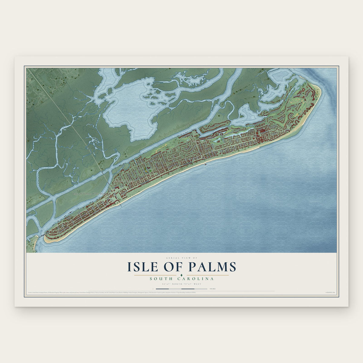
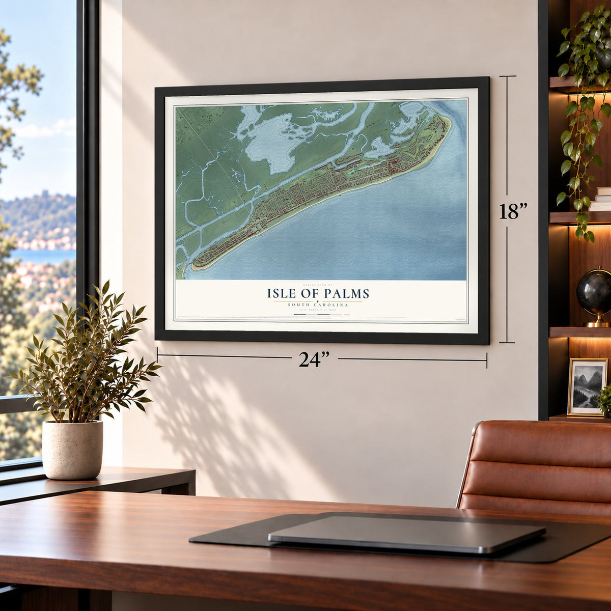
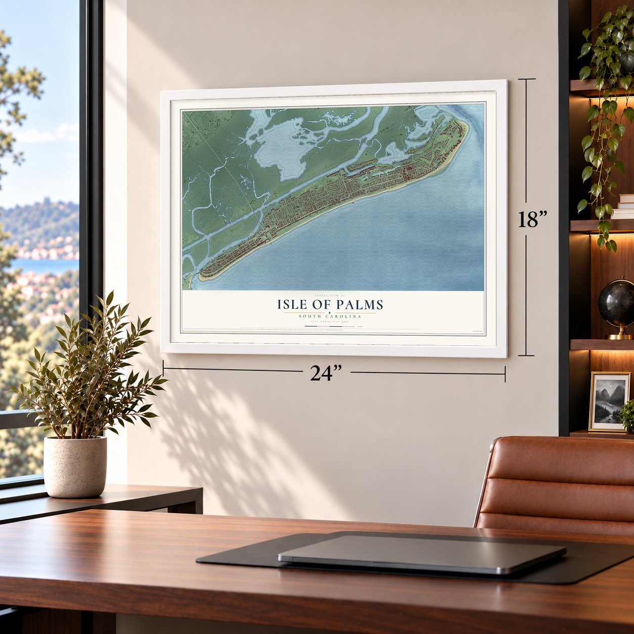
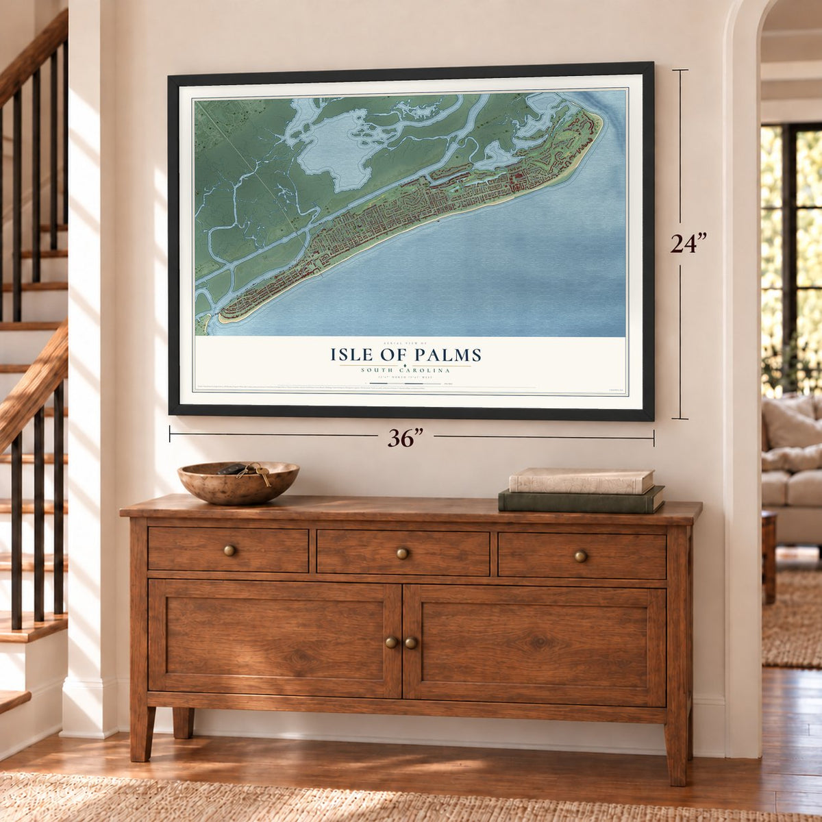
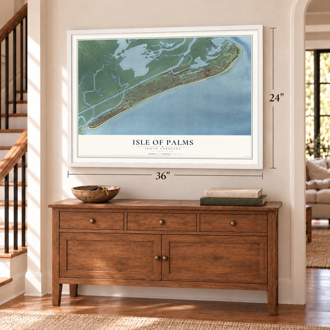
Isle of Palms, South Carolina Map Art
Building by building, with labeled streets and shaded relief.
12" x 18" Archival Matte Print
A Map of Home. A Work of Art.
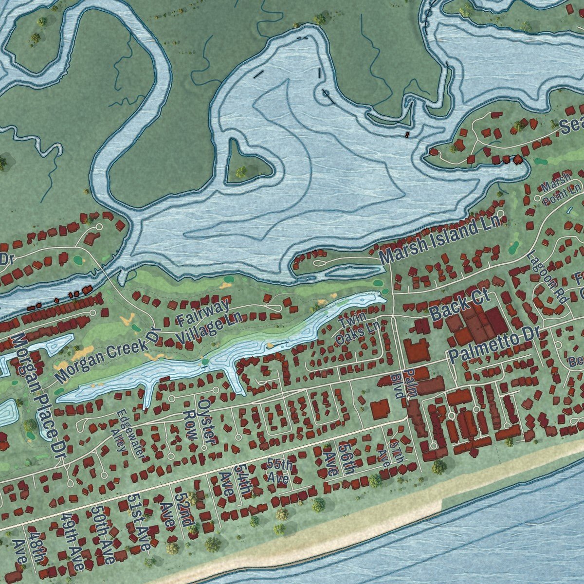
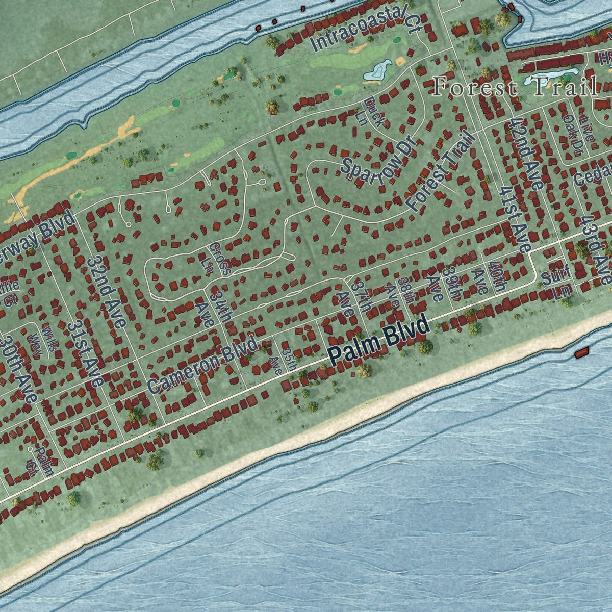
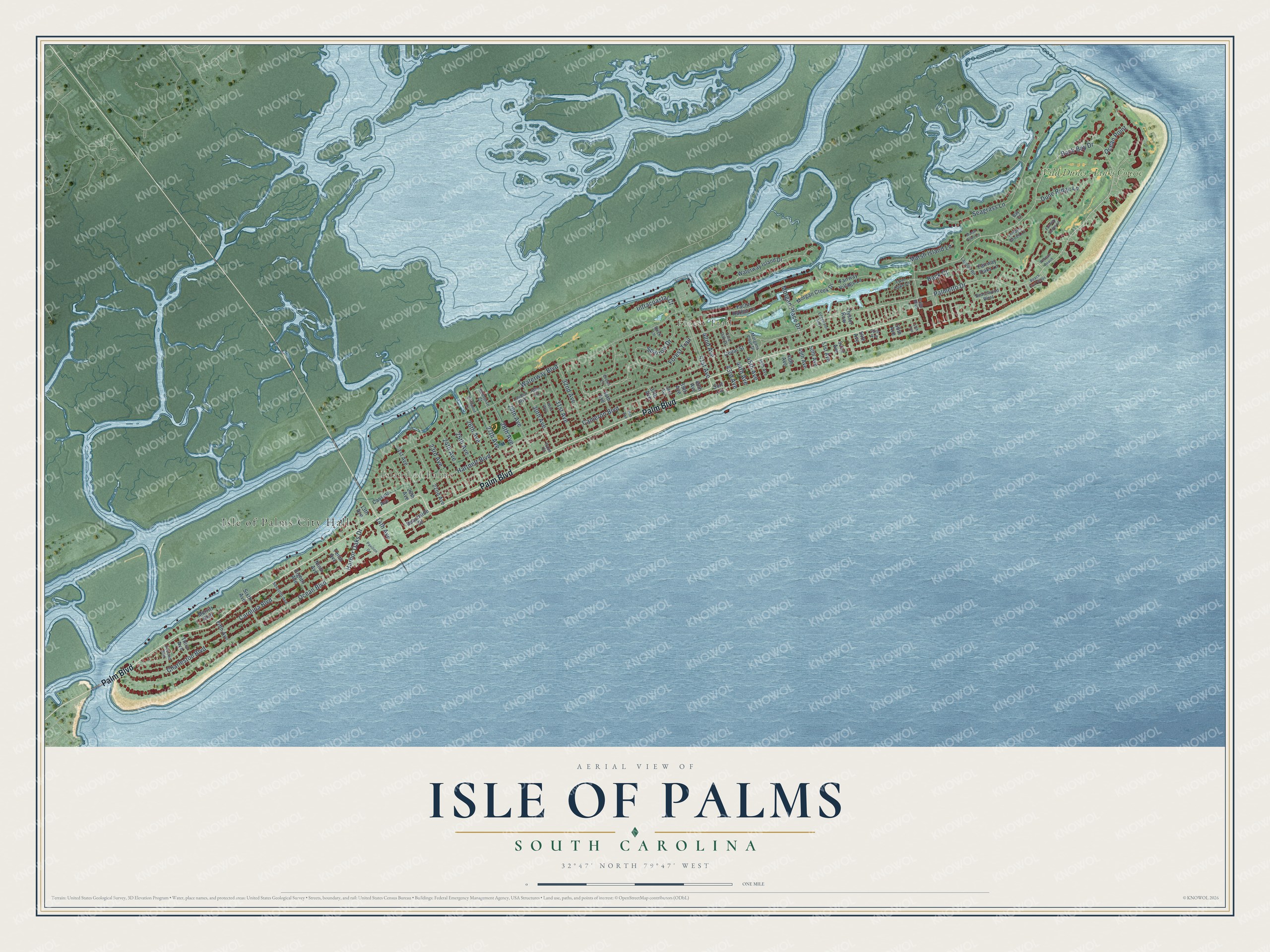
Explore Isle of Palms, South Carolina from a whole new perspective. Created using aerial imagery and detailed geographic data, this map captures Isle of Palms building by building, with labeled streets, familiar landmarks, and shaded topographical relief that highlights the natural contours of the landscape.
Combining modern data with the timeless character of a vintage atlas, this map is just as interesting up close as it is beautiful on the wall. Whether you grew up in Isle of Palms, spent memorable years there, or call it home today, this unique map is a great way to celebrate a place that means something to you. Zoom in on the preview to look for your street, and then order a print to put your memories on the wall.
Three ways to hang it
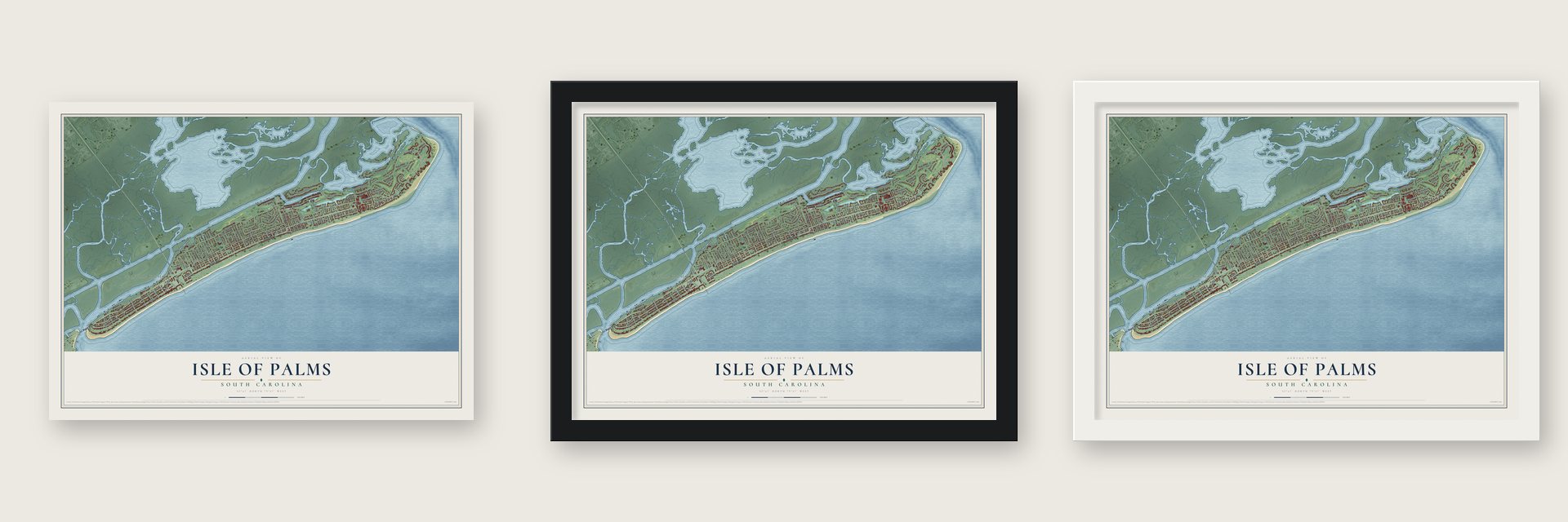
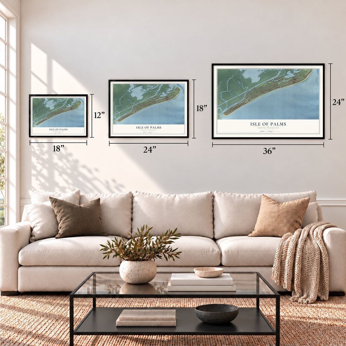
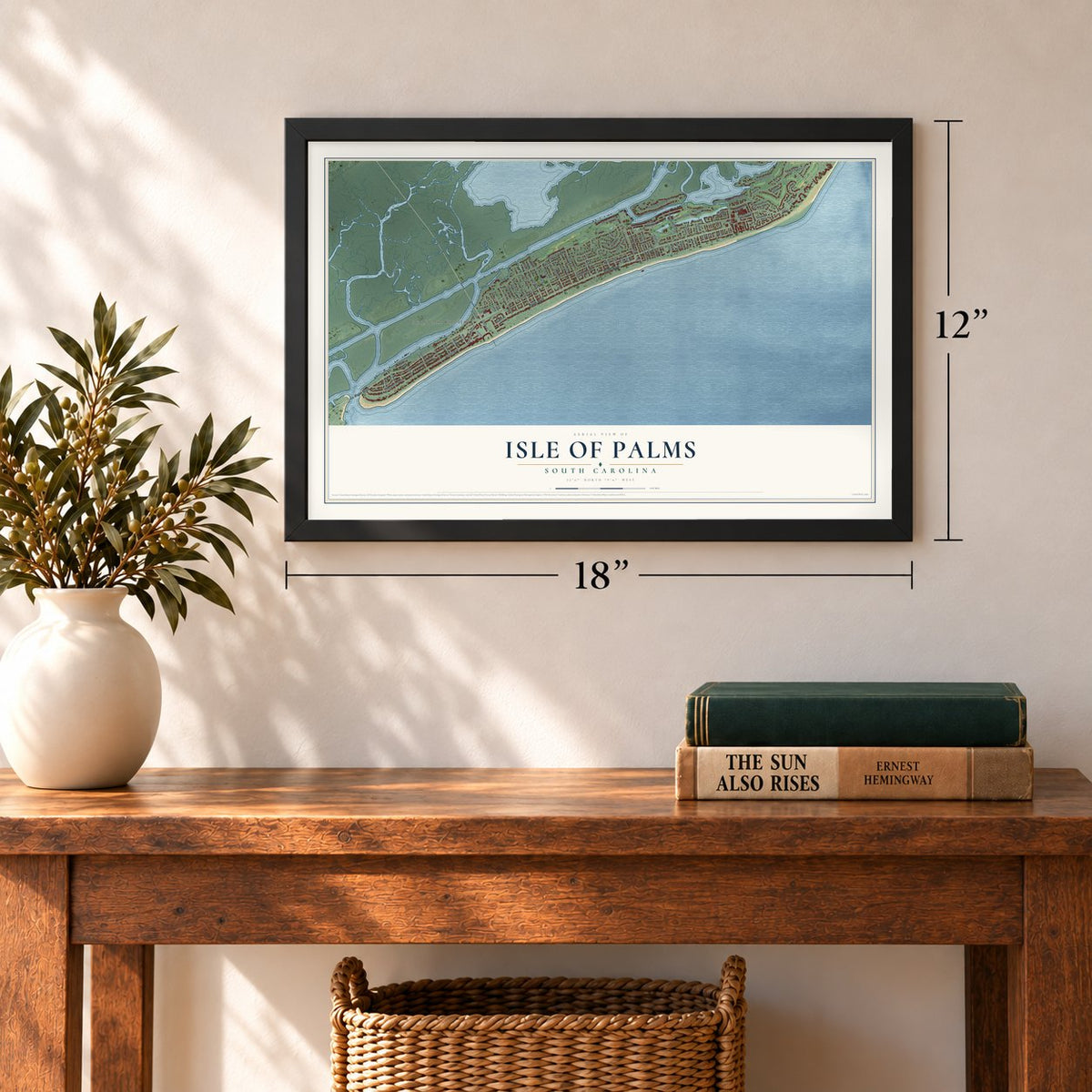
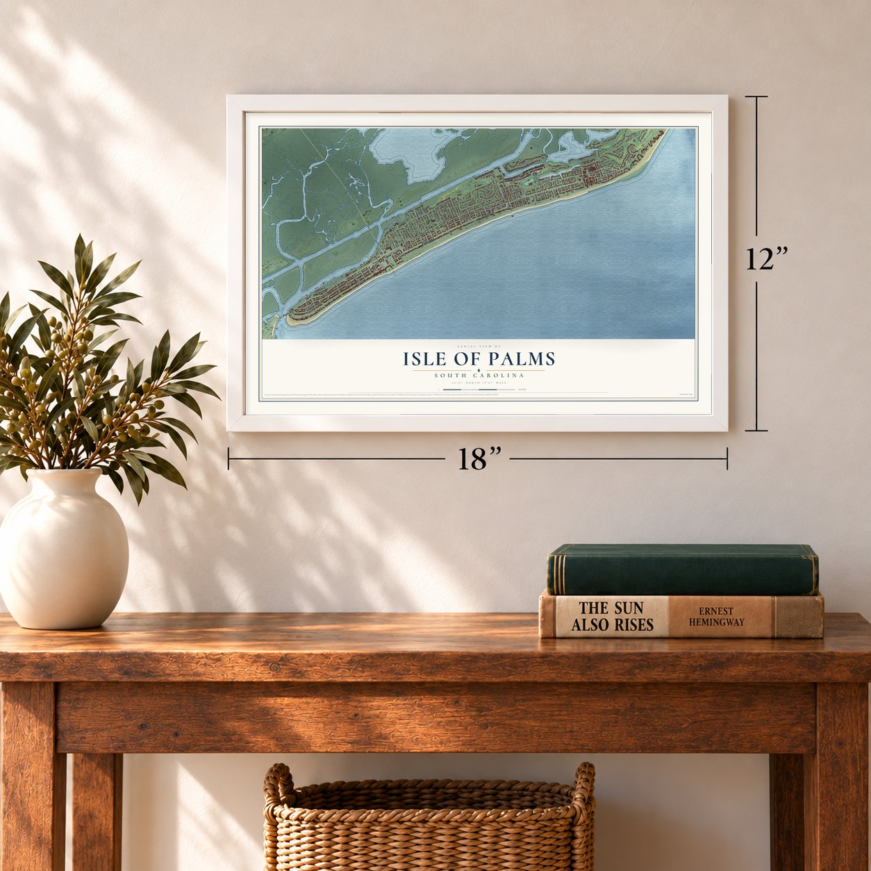
Unframed archival matte, a black wood frame or a white wood frame.
Up close
Geography Worth Displaying
This map was created using accurate cartographic data and authoritative geographic sources, including the U.S. Geological Survey and the Census Bureau. The map brings together terrain, waterways, roads, and building detail. The majority of the streets are labeled, houses are accurately depicted, and the topography is derived from government sources. Combining local data with carefully composed color and shading leads to this beautifully detailed Isle of Palms artwork for your wall.
Rather than simply showing street outlines, we’ve included as many of the street names as we could reasonably fit on the map while keeping their names legible. Zoom in on the high resolution preview to see exactly what’s on the map. We truly set out to create a statement piece for anyone who loves Isle of Palms. So whether it’s for you, or a gift for someone you love, we hope this map of Isle of Palms brings back fond memories.
Read the story behind this map of Isle of Palms, South Carolina from 2026.

Find your street
Names on the Isle of Palms map
Every name below is printed on this map. Look for your street, your school, the park where you played, or the pond down the road.
Places and landmarks4
- Isle of Palms City Hall
- Island of Palms
- Forest Trail
- Wild Dunes - Links Course
Streets and roads94
- Palm Boulevard
- Palmetto Drive
- Back Bay Drive
- Carolina Boulevard
- Morgan Place Drive
- Hartnett Boulevard
- Seagrass Lane
- Dune Ridge Lane
- Ocean Boulevard
- Waterway Boulevard
- Cameron Boulevard
- Charleston Boulevard
- 31st Avenue
- Ocean Point
- 41st Avenue
- Sparrow Drive
- Marsh Island Lane
- 25th Avenue
- 32nd Avenue
- 30th Avenue
- 29th Avenue
- 26th Avenue
- 27th Avenue
- 24th Avenue
- 28th Avenue
- 23rd Avenue
- 42nd Avenue
- Back Court
- Intracoastal Court
- Harbor Oaks Drive
Show all 94 streets
- 44th Avenue
- 43rd Avenue
- 45th Avenue
- 14th Avenue
- Waterway Island Drive
- Fairway Oaks Lane
- Cedar Street
- Morgan Creek Drive
- 22nd Avenue
- 21st Avenue
- Oyster Row
- Beachside Drive
- 20th Avenue
- Fairway Village Lane
- Sixth Avenue
- Yacht Harbor Court
- 34th Avenue
- Third Avenue
- Cassina Avenue
- Tenth Avenue
- Ninth Avenue
- Eighth Avenue
- Fifth Avenue
- 37th Avenue
- Merritt Boulevard
- 51st Avenue
- 50th Avenue
- 49th Avenue
- 52nd Avenue
- 56th Avenue
- 13th Avenue
- 48th Avenue
- 39th Avenue
- 54th Avenue
- 40th Avenue
- Surf Lane
- Twin Oaks Lane
- Beachwood West
- 55th Avenue
- Morgans Cove Drive
- Hidden Green Lane
- Lagoon Road
- Second Avenue
- Seventh Avenue
- Duck Lane
- Live Oak Drive
- Lauden Boulevard
- Seahorse Court
- 46th Avenue
- 38th Avenue
- Bay Court
- Palm Court
- Allie Court
- Cross Lane
- Pelican Reach
- Beach Club Villas
- Fairway Dunes Lane
- Edgewater Alley
- Pavilion Drive
- Marsh Point Lane
- 57th Avenue
- Wills Way
- Driftwood Lane
- 35th Avenue
Names are listed as they appear on the printed map. Zoom into the product photos to find them.
About Isle of Palms, South Carolina
Isle of Palms is a city of 4,347 people in Charleston County, on a barrier island east of downtown Charleston. The Sewee people lived here first. Late in the nineteenth century, local families began taking a ferry out to vacation on what was then called Hunting Island or Long Island. J.S. Lawrence bought the island in 1899 and gave it the name it carries today.
A hotel with 50 rooms opened in 1906. In 1912 James Sottile added a pavilion on the beach and an amusement park, and visitors rode a new trolley line from Mount Pleasant across Sullivan's Island to get there. After the Grace Memorial Bridge linked Charleston and Mount Pleasant in 1929, cars could make the trip too. Later J.C. Long purchased most of the island and put up inexpensive houses for World War II veterans, which began its growth as a place to live year-round.
“In 1972 after the year-round residents had attained the status of an incorporated town, the Sea Pines Company of Hilton Head Island developed land on the northern end to fashion Wild Dunes, an exclusive residential and tourist address built around a world-class golf and tennis club.”
- The Hunley set out hereIn the Civil War, the H.L. Hunley, a Confederate submarine, left from Breach Inlet, the narrow channel between Isle of Palms and Sullivan's Island.
- Blockade runners found in the 1960sIn the 1960s the underwater archaeologist E. Lee Spence, with help from island residents Wally Shaffer and George Campsen, found many shipwrecks off the island's beaches. Among them were Civil War blockade runners: the Rattlesnake, the Stonewall Jackson, the Mary Bowers, the Constance, the Norseman and the Georgiana. Their finds led South Carolina to pass its Underwater Antiquities Act, which allowed archaeological salvage of wrecks.
- The Georgiana's first voyageThe Georgiana, an iron-hulled steamer, sank on her very first voyage. Records from that time said she had openings for 14 guns.
- Hurricane Hugo, 1989When Hurricane Hugo came ashore on September 21, 1989, its storm surge put much of the island underwater.
- New sand in 2008At the island's northeastern end, where the Wild Dunes community sits, a shoal pulled sand away from under a large condominium building. In the spring and summer of 2008 the city went ahead with a disputed restoration project, pumping dredged sand onto the beach, and the threatened buildings were saved.
Keep exploring South Carolina
Isle of Palms is one of 540 South Carolina towns we've mapped. Every dot on the map is a print of its own.
The search covers every state, South Carolina first.
Near Isle of Palms
Order 2 or more town maps and save 10%. Shown in the size and finish you picked above, so they hang as a set.
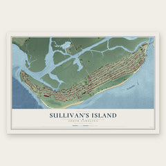
- Sullivan's Island 12" x 18" / Archival Matte Print $39.99
- Mount Pleasant 12" x 18" / Archival Matte Print $39.99
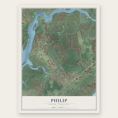
- Philip 12" x 18" / Archival Matte Print $39.99

More maps nearby: Daniel Island, James Island, Hampton Park Terrace, Awendaw and Charleston.
The art of mapping a place
How This Map Was Made
Real places. Remarkable detail. Discover the layers that turn geographic data into a map of home.

The view from above
Aerial imagery reveals the character of the land: woodland, open fields, and the patterns of a place.

The shape of the land
Elevation data brings hills, valleys, and subtle changes in the landscape into view.

The details of home
Roads, waterways, and building footprints come together to make the map feel unmistakably local.

Geography becomes art
Considered color, shading, and typography bring the layers together in a map made for your wall.


Process illustrated with Mendon, Massachusetts. Aerial imagery: USDA NAIP. Terrain: USGS 3D Elevation Program. Map details and finished artwork: KNOWOL.
The Details
About This Print
Choose an archival matte print, or a black or white Ayous wood frame. The archival matte print is unframed.
Select your size and finish above to see the matching product image and price.
Materials & Craftsmanship
A contemporary map with the character of a classic atlas, printed on archival matte paper. Optional frames are made from Ayous wood.
Your printed map does not include the watermark shown in the full-map preview.
Shipping & Delivery
Free shipping within the United States. Every print is made to order in the USA.
Buying a gift? Add a note in your cart and we'll include it. We never put prices in the package.
Prints ship within 2 to 3 business days. Allow 7 to 10 days total from ordering for delivery. Timing may vary during holidays or periods of high order volume.
Read our shipping policy.
Returns and damaged prints
Each print is made to order. Change-of-mind refunds are not available after production.
If your print arrives damaged, misprinted or incorrect, contact support@knowol.com within 30 days of receiving it. Include your order number, photos and a description of the issue.
Read our full refund and replacement policy. For questions about your order, email support@knowol.com.