
Search for another town




Free U.S. delivery 7 to 10 days after you order
Charleston, West Virginia Map Art
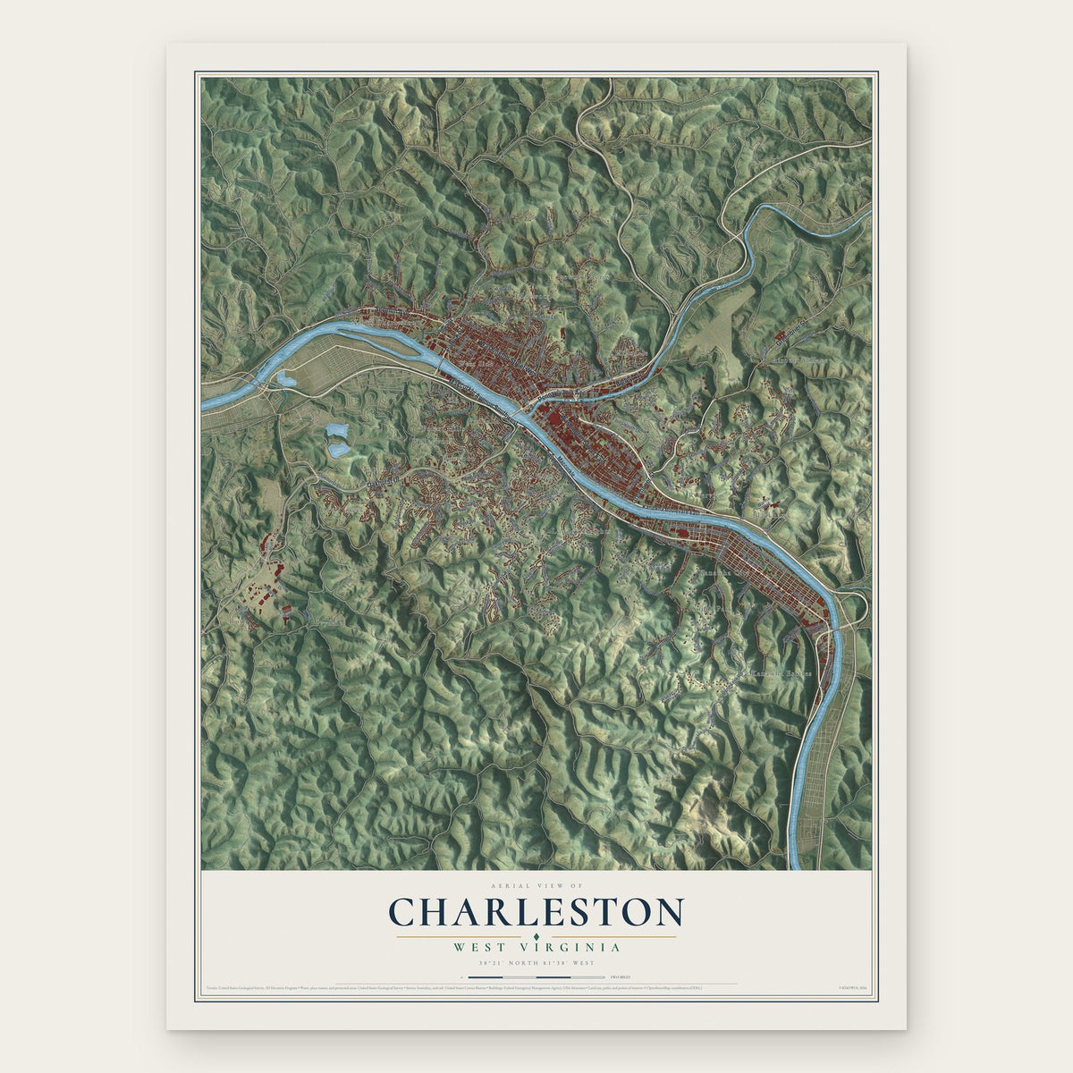
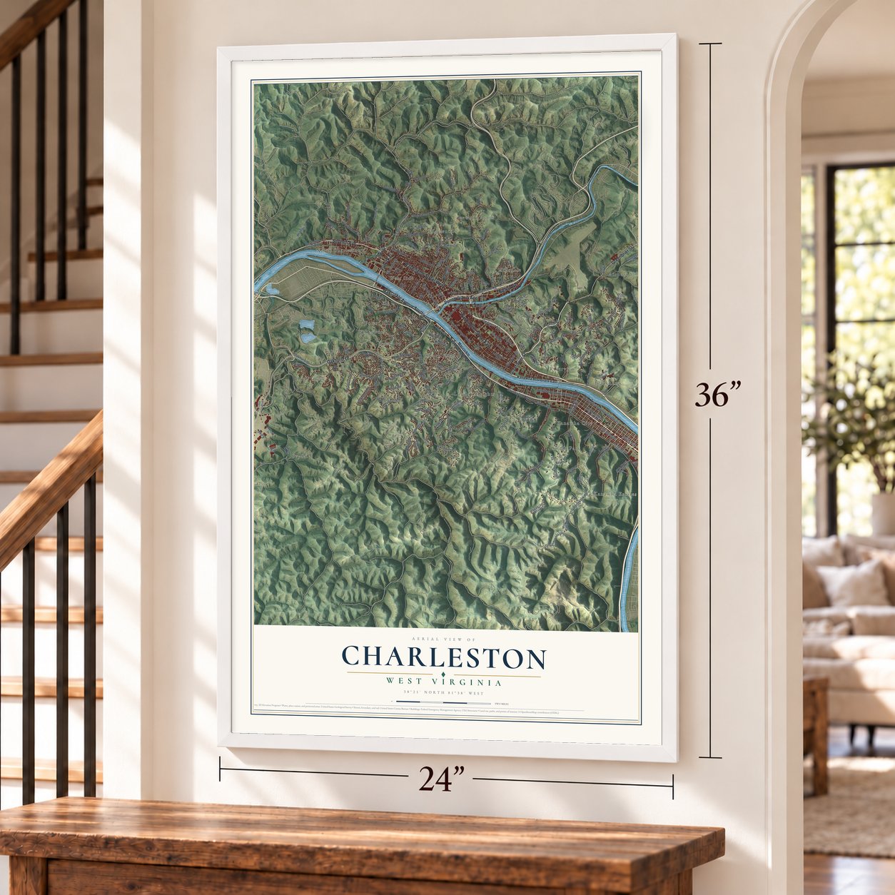
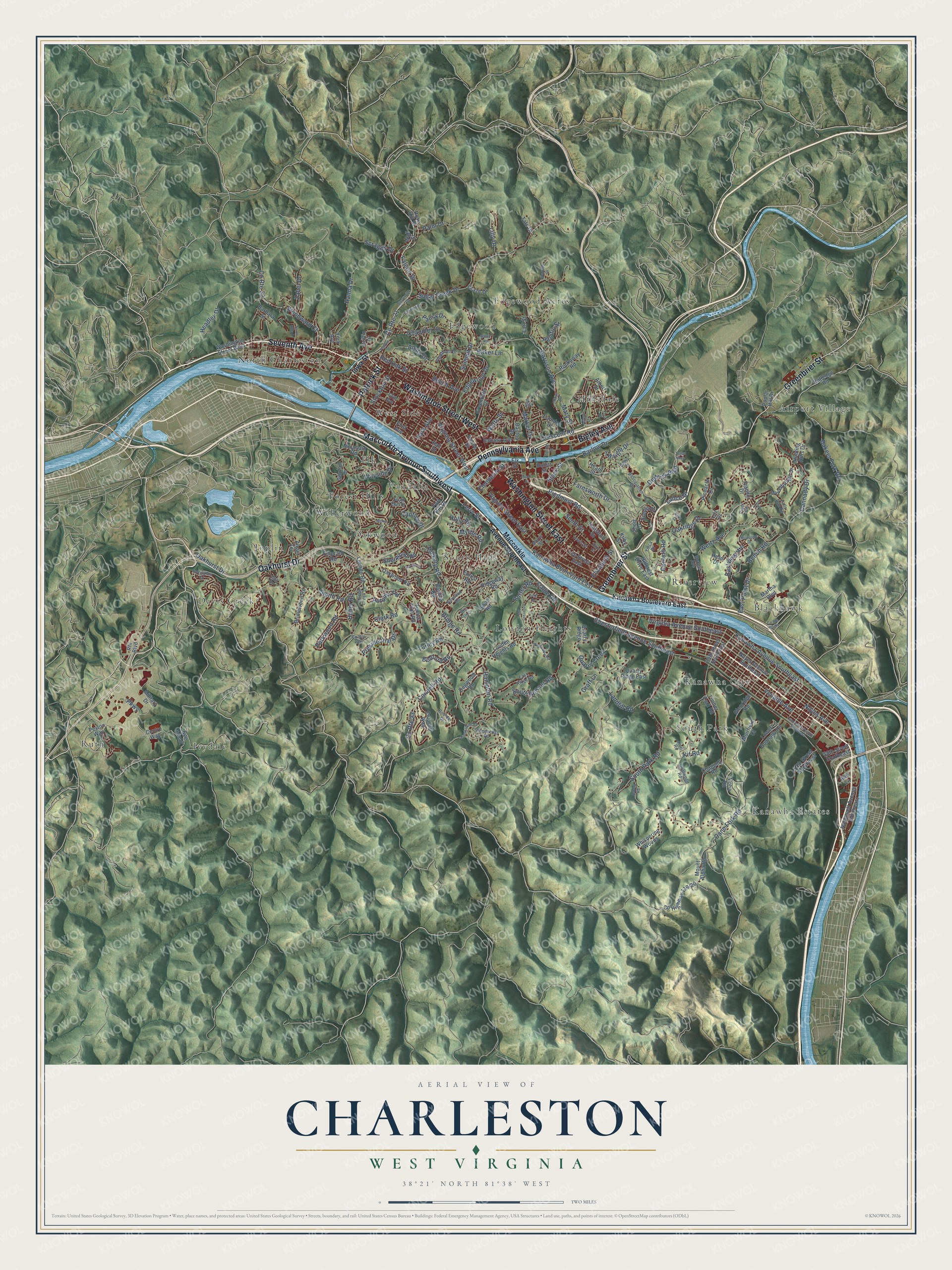
A new map of Charleston, West Virginia, made in 2026 and printed to order on thick archival matte paper.
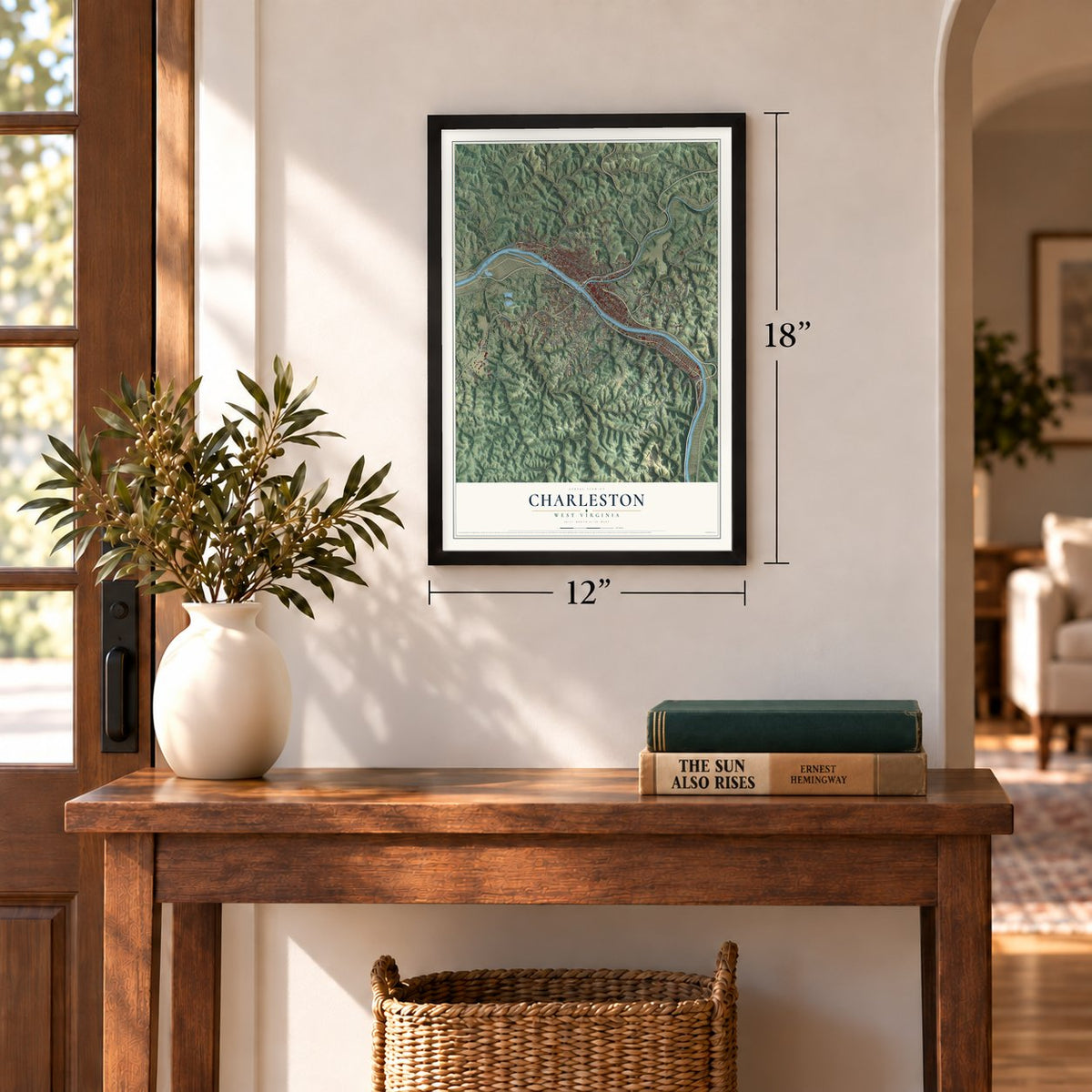
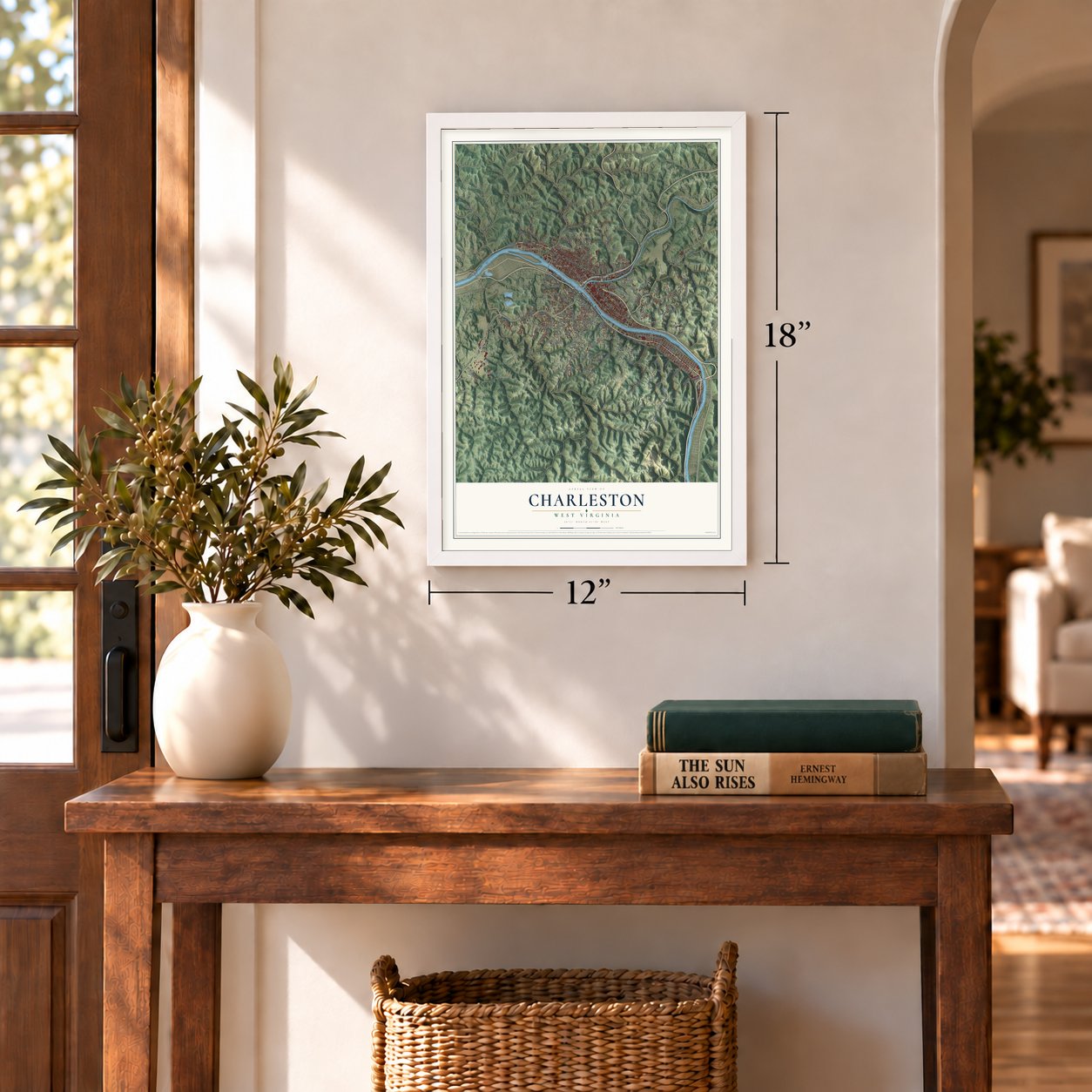
12" x 18" Archival Matte Print
A Map of Home. A Work of Art.
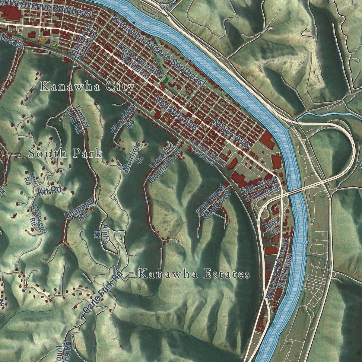
This beautifully detailed map of Charleston, West Virginia was created in 2026 using aerial imagery combined with modern topographical, census, street and landmark data. It's a modern aerial view of Charleston in Kanawha County, West Virginia, that combines modern data with a vintage aesthetic. Zoom in on the preview and look for your block.
Three ways to hang it
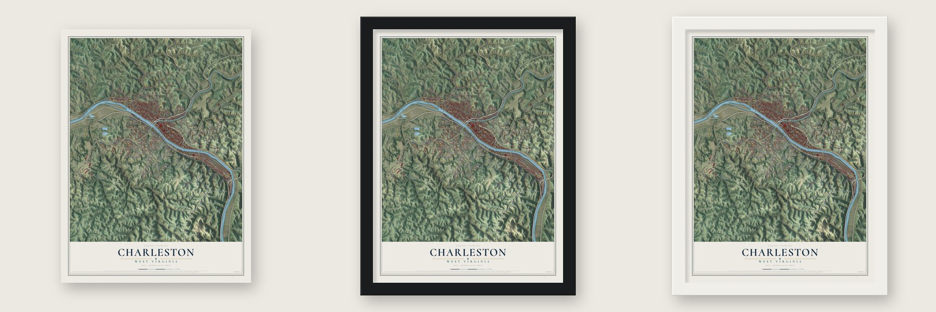
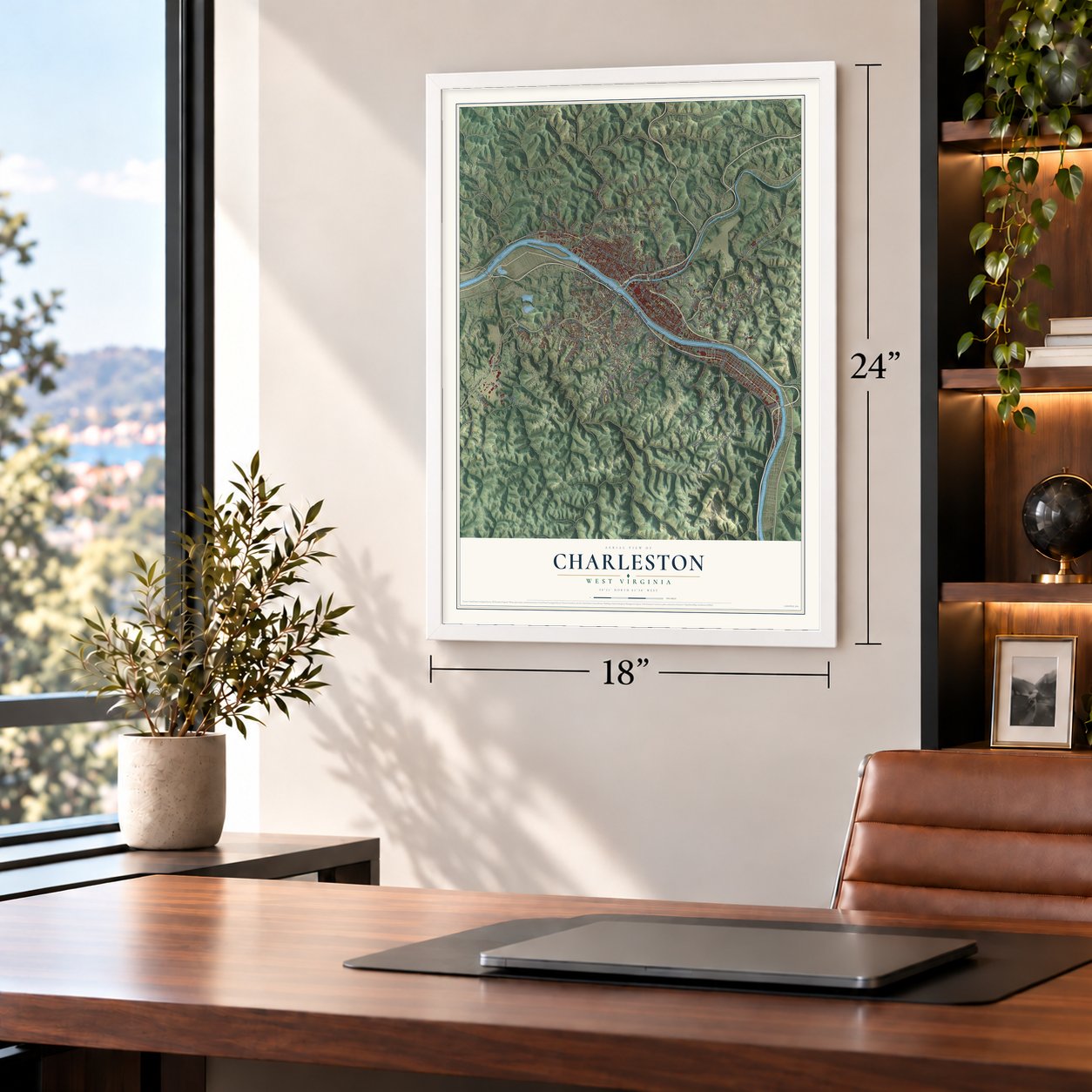
Unframed archival matte, a black wood frame or a white wood frame.
Up close
Real geography. Art worth displaying.
This map was created using accurate cartographic data and authoritative geographic sources, including the U.S. Geological Survey and the Census Bureau. The map brings together terrain, waterways, roads, and building detail. The majority of the streets are labeled, houses are accurately depicted, and the topography is derived from government sources. Combining local data with carefully composed color and shading leads to this beautifully detailed Charleston artwork for your wall.
Rather than simply showing street outlines, we’ve included as many of the street names as we could reasonably fit on the map while keeping their names legible. Zoom in on the high resolution preview to see exactly what’s on the map. We truly set out to create a statement piece for anyone who loves Charleston. So whether it’s for you, or a gift for someone you love, we hope this map of Charleston brings back fond memories.
Read the story behind this map of Charleston, West Virginia from 2026.

Find your street
Names on the Charleston map
Every name below is printed on this map. Look for your street, your school, the park where you played, or the pond down the road.
Places and landmarks22
- Airport Village
- Blackhawk
- Davis Creek
- Edgewood
- Edgewood Acres
- Elk
- Forest Hills
- Hillsdale
- Ivydale
- Joplin
- Kanawha City
- Kanawha Estates
Show all 22 places
- Loudon Heights
- North Charleston
- Oakwood
- Riverview
- Ruth
- South Hills
- South Park
- Vandalia
- Weberwood
- West Side
Streets and roads211
- Maccorkle Avenue Southwest
- Washington Street West
- Patrick Street
- Greenbrier Street
- Washington Street East
- Seventh Avenue
- Oakhurst Drive
- Pennsylvania Avenue
- Bigley Avenue
- Kanawha Boulevard East
- County Route 21
- Eastview Heights
- Chesterfield Avenue Southeast
- Kanawha Avenue Southeast
- Cane Fork Road
- Oakridge Drive
- Virginia Avenue Southeast
- South Park Road
- Garrison Avenue
- Noyes Avenue
- Bakers Fork Road
- Smith Road
- Deitrick Boulevard
- Piedmont Road
- Sugar Creek Drive
- South Ruffner Road
- Virginia Street East
- Edgewood Drive
- Bridge Road
- Venable Avenue
Show all 211 streets
- Twilight Drive
- Landfill Road
- County Route 23
- Connell Road
- Pacific Street
- Wertz Avenue
- Woodward Court
- Graff Lane
- Farnsworth Drive
- Amity Drive
- Crescent Road
- County Route 22
- Falcon Drive
- Beech Avenue
- Park Avenue
- Hickory Road
- Clark Road
- Virginia Street West
- Hanna Drive
- Smith Street
- Headley Drive
- Red Oak Street
- Summit Drive
- Barlow Drive
- Presidential Drive
- Parkwood Road
- Huber Road
- Bedford Road
- Chandler Drive
- Centers Road
- Pansy Drive
- Scraggs Drive
- Palm Drive
- Bench Road
- Lilly Drive
- Cannady Drive
- Quarry Creek
- Hampton Road
- Clendenin Street
- Turley Road
- Zabel Drive
- Stockton Street
- Slack Street
- Sherwood Road
- Baker Lane
- Mary Street
- Wayside Drive
- Parkway
- Ferry Street
- Elizabeth Street
- East Point Drive
- Market Drive
- Myrtle Road
- Autumn Road
- Watts Street
- Porter Road
- Callie Road
- Holly Road
- Cantley Drive
- Lance Drive
- Kit Road
- Iowa Street
- Maccorkle Avenue Southeast
- Louden Heights Road
- Noyes Avenue Southeast
- Mount Alpha Road
- Gordon Drive
- Chappell Road
- Woodbridge Drive
- Oakwood Road
- Whispering Woods
- Timber Trail Road
- 57th Street Southeast
- Quarry Ridge
- Lower Donnally Road
- Mountain Road
- Albert Street
- Hillcrest Drive East
- Quarry Ridge East
- Greendale Drive
- Lee Street East
- Alpha Road
- Ravinia Road
- Martha Boulevard
- Centre Way
- Griffin Drive
- Roosevelt Avenue Southeast
- Camden Drive
- Emerald Road
- Rutledge Road
- Fort Hill Drive
- Hunting Hills Drive
- Roane Street
- Tennis Club Road
- Hansford Street
- Peyton Way
- Bridlewood Road
- First Avenue
- Pinnacle Drive
- Angel Terrace
- Scenic Drive
- 39th Street Southeast
- Rockaway Road
- Heath Street
- Colonial Way
- Glenridge Road
- Forest Road
- Indiana Avenue
- Muirfield Court
- Lucado Road
- York Avenue
- Hess Drive
- 58th Street Southeast
- Dayton Drive
- Dogwood Road
- Rose Hill Drive
- Ridgeway Road
- Hall Street
- Barbara Street
- Francis Drive
- Military Drive
- Craze Drive
- Poplar Hill Drive
- Bullitt Street
- Bee Mount
- Tate Drive
- Earl Street
- Swan Road
- Alex Lane
- Kilby Street
- Elk Street
- Short Drive
- Litz Drive
- Rhl Boulevard
- Wall Street
- Stonehenge Road
- Lewis Street
- Fifth Avenue
- Morris Street
- East Ridge Road
- Chatwood Road
- McKee Avenue
- Viewmont Drive
- Association Drive
- Norwood Road
- Boulder Drive
- Gail Drive
- Falls Run Road
- Fossil Creek Lane
- South Fort Drive
- Piper Circle
- Ymca Drive
- Jean Street
- Allen Drive
- Kori Road
- Banks Street
- Lancaster Avenue Southeast
- Sissonville Drive
- Court Street
- Wilkie Drive
- Ridgeview Road
- Nottingham Road
- Carroll Road
- Cosmos Drive
- North Hills Drive
- Anderson Heights
- Byus Drive
- Cora Street
- Brookstone Road
- Dixie Street
- Temple Street
- Spring Street
- Wood Road
- Wild Acre Drive
- Aspen Road
- Charmac Drive
- Moorland Drive
- Estill Drive
- Hope Road
- Crest Drive
- Tracy Way
Names are listed as they appear on the printed map. Zoom into the product photos to find them.
The art of mapping a place
How This Map Was Made
Real places. Remarkable detail. Discover the layers that turn geographic data into a map of home.

The view from above
Aerial imagery reveals the character of the land: woodland, open fields, and the patterns of a place.

The shape of the land
Elevation data brings hills, valleys, and subtle changes in the landscape into view.

The details of home
Roads, waterways, and building footprints come together to make the map feel unmistakably local.

Geography becomes art
Considered color, shading, and typography bring the layers together in a map made for your wall.


Process illustrated with Mendon, Massachusetts. Aerial imagery: USDA NAIP. Terrain: USGS 3D Elevation Program. Map details and finished artwork: KNOWOL.
The Details
About This Print
Choose an archival matte print, or a black or white Ayous wood frame. The archival matte print is unframed.
Select your size and finish above to see the matching product image and price.
Materials & Craftsmanship
A contemporary map with the character of a classic atlas, printed on archival matte paper. Optional frames are made from Ayous wood.
Your printed map does not include the watermark shown in the full-map preview.
Shipping & Delivery
Free shipping within the United States. Every print is made to order in the USA.
Buying a gift? Add a note in your cart and we'll include it. We never put prices in the package.
Prints ship within 2 to 3 business days. Allow 7 to 10 days total from ordering for delivery. Timing may vary during holidays or periods of high order volume.
Read our shipping policy.
Returns and damaged prints
Each print is made to order. Change-of-mind refunds are not available after production.
If your print arrives damaged, misprinted or incorrect, contact support@knowol.com within 30 days of receiving it. Include your order number, photos and a description of the issue.
Read our full refund and replacement policy. For questions about your order, email support@knowol.com.
Find your town
Looking for another city?
Find a map of home in our West Virginia collection.
Nearby
Maps of towns near Charleston
Know someone from one of these towns? Their map makes a great gift.
 South Charleston
, West Virginia
From $39.99See the map
 Malden
, West Virginia
From $39.99See the map
 Dunbar
, West Virginia
From $39.99See the map
More maps nearby: Rand, Coal Fork, Dupont City, West Dunbar and Big Chimney.