
Search for another town
Free U.S. delivery 7 to 10 days after you order
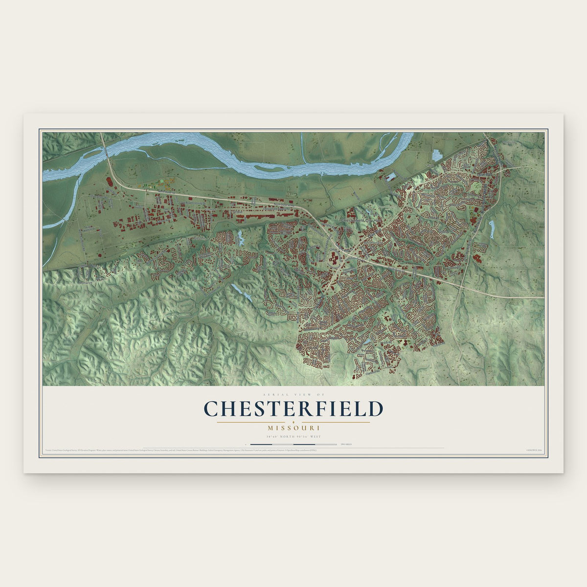
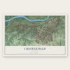
Chesterfield, Missouri Map Art
Building by building, with labeled streets and shaded relief.
12" x 18" Archival Matte Print
A Map of Home. A Work of Art.
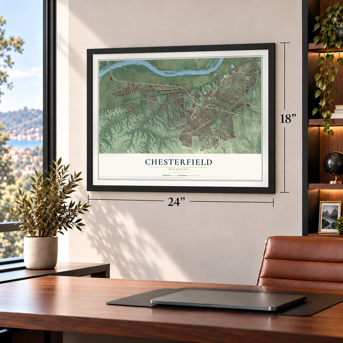
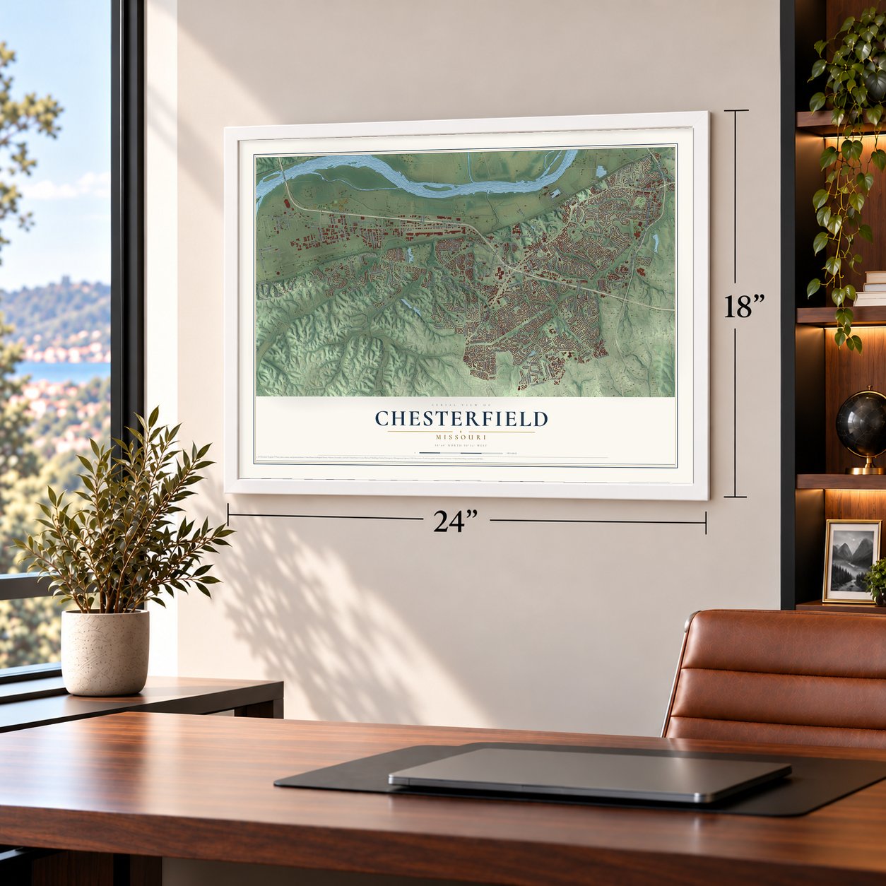
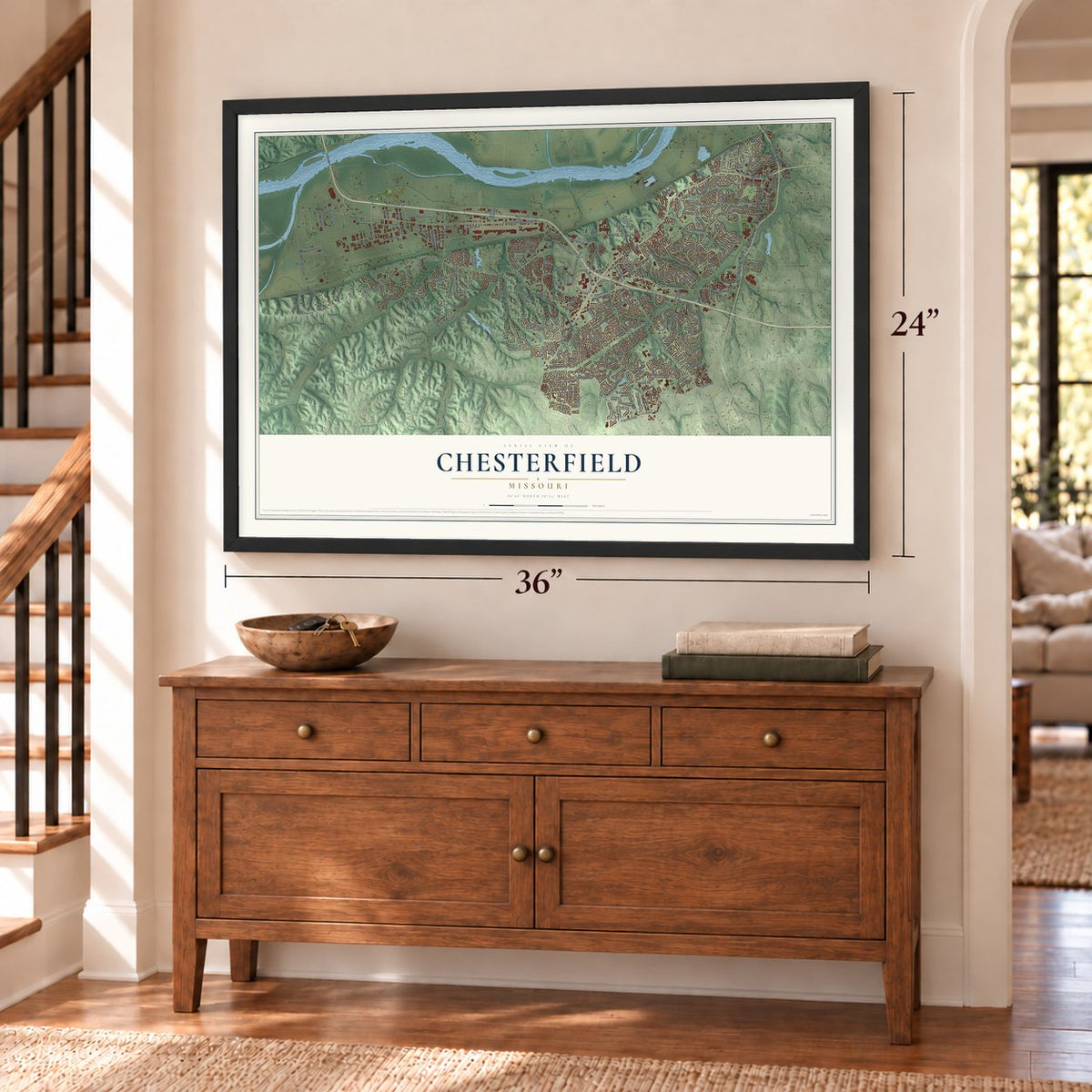
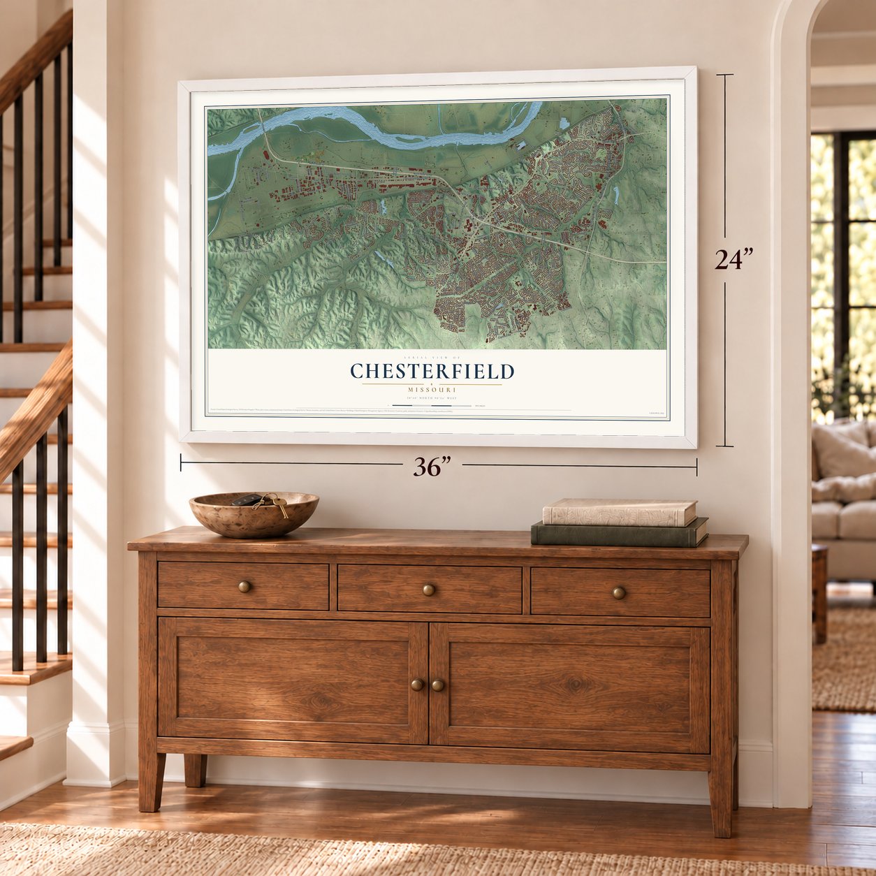
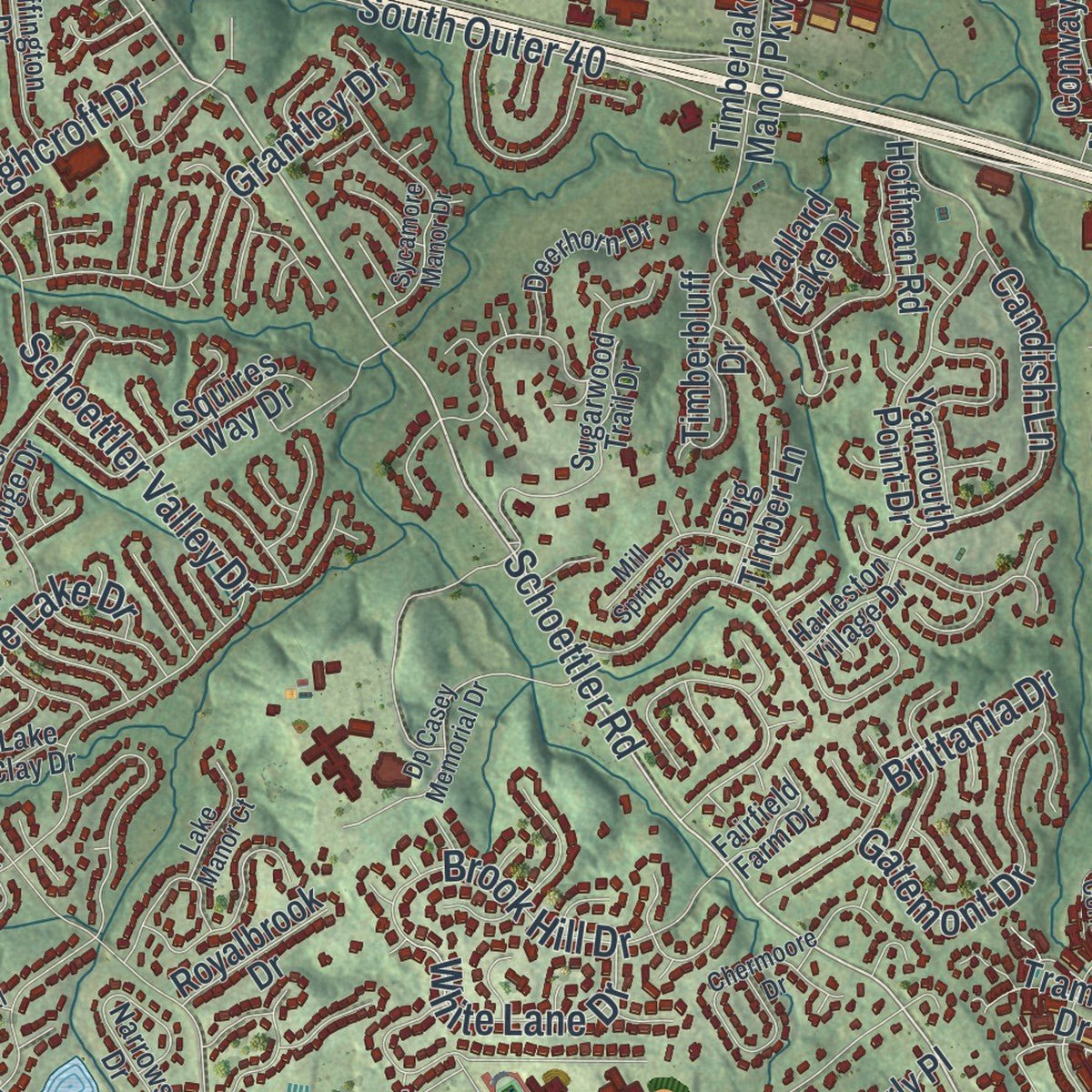
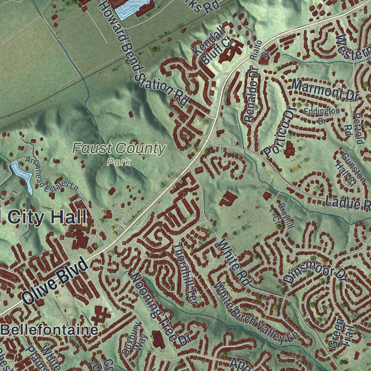
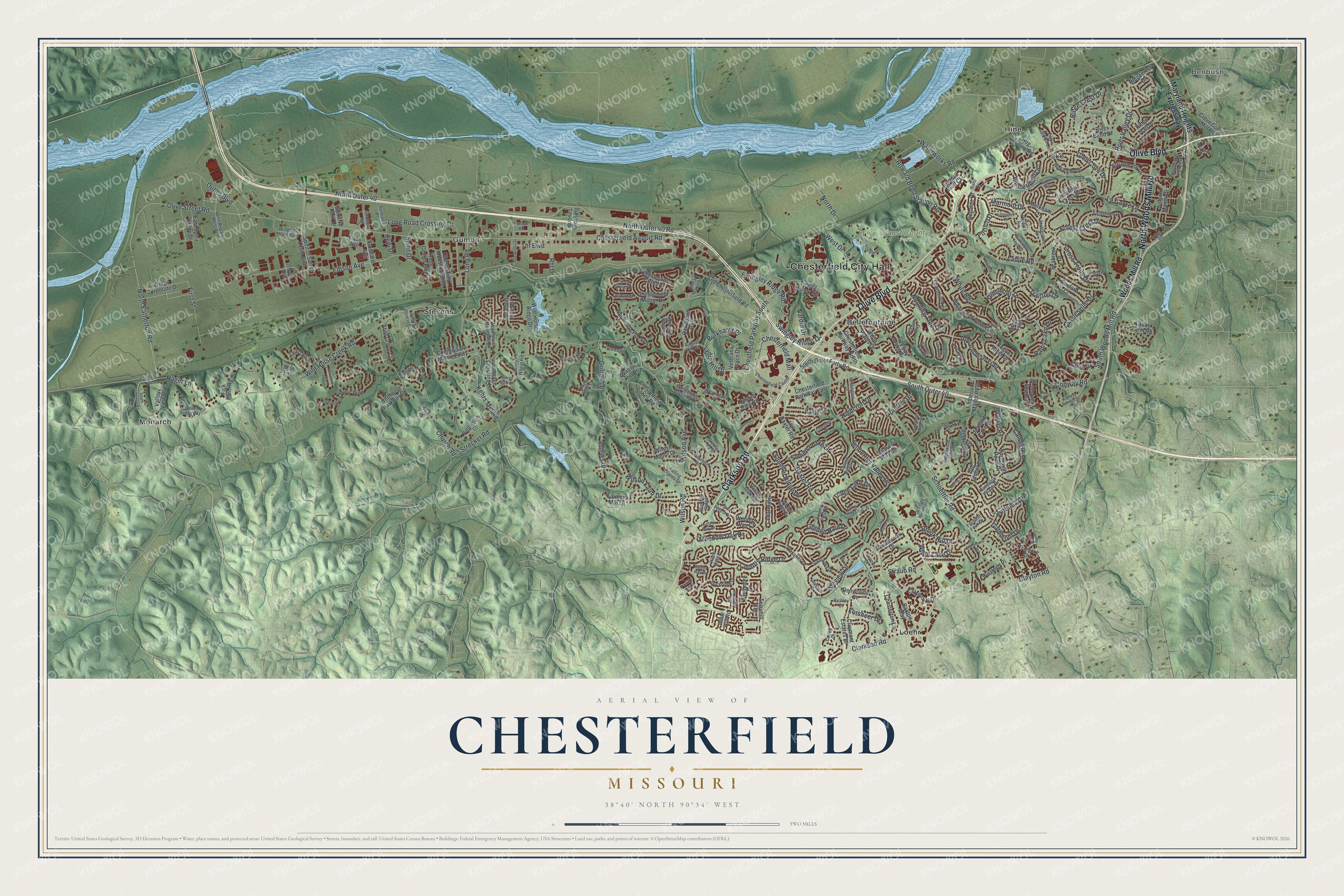
Explore Chesterfield, Missouri from a whole new perspective. Created using aerial imagery and detailed geographic data, this map captures Chesterfield building by building, with labeled streets, familiar landmarks, and shaded topographical relief that highlights the natural contours of the landscape.
Combining modern data with the timeless character of a vintage atlas, this map is just as interesting up close as it is beautiful on the wall. Whether you grew up in Chesterfield, spent memorable years there, or call it home today, this unique map is a great way to celebrate a place that means something to you. Zoom in on the preview to look for your street, and then order a print to put your memories on the wall.
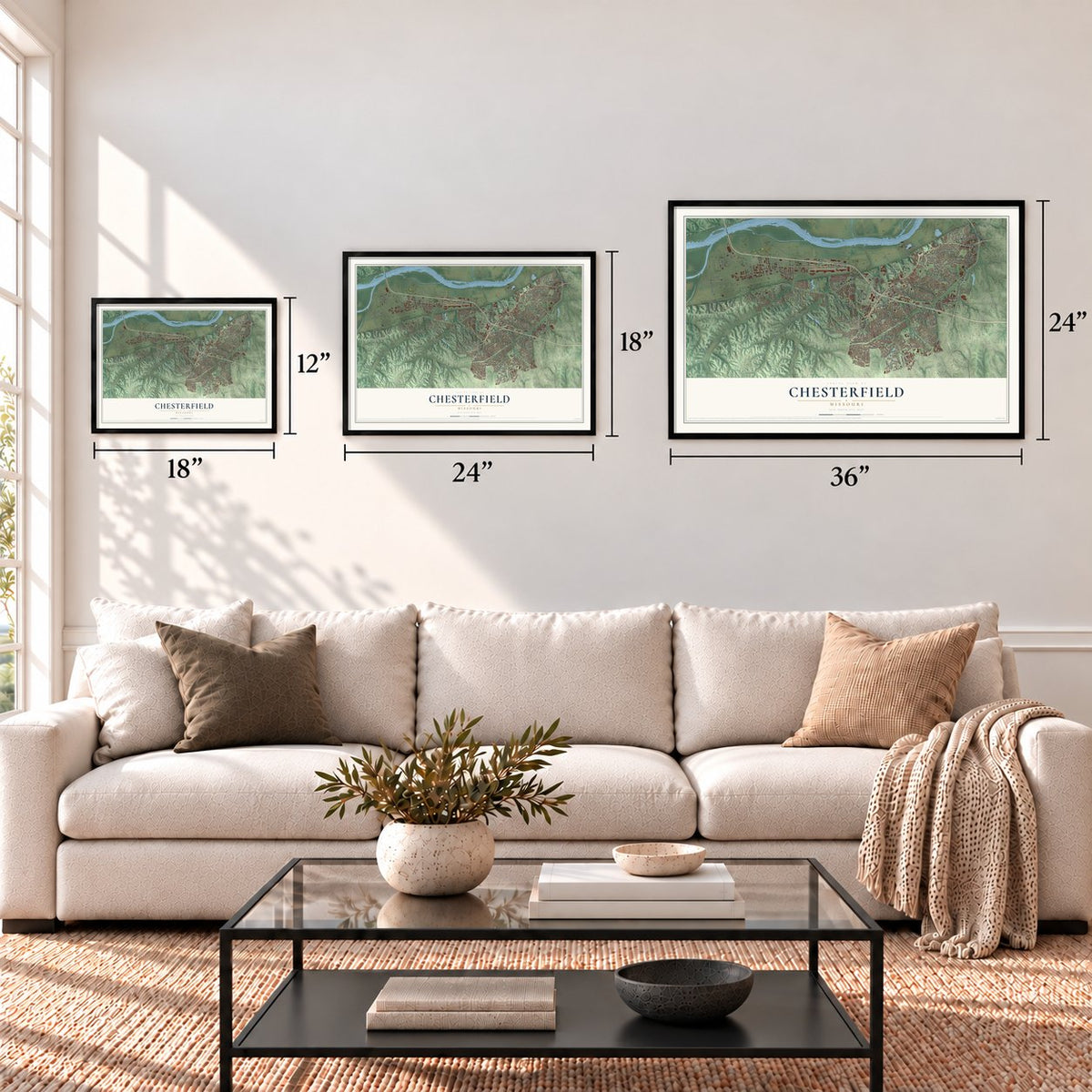
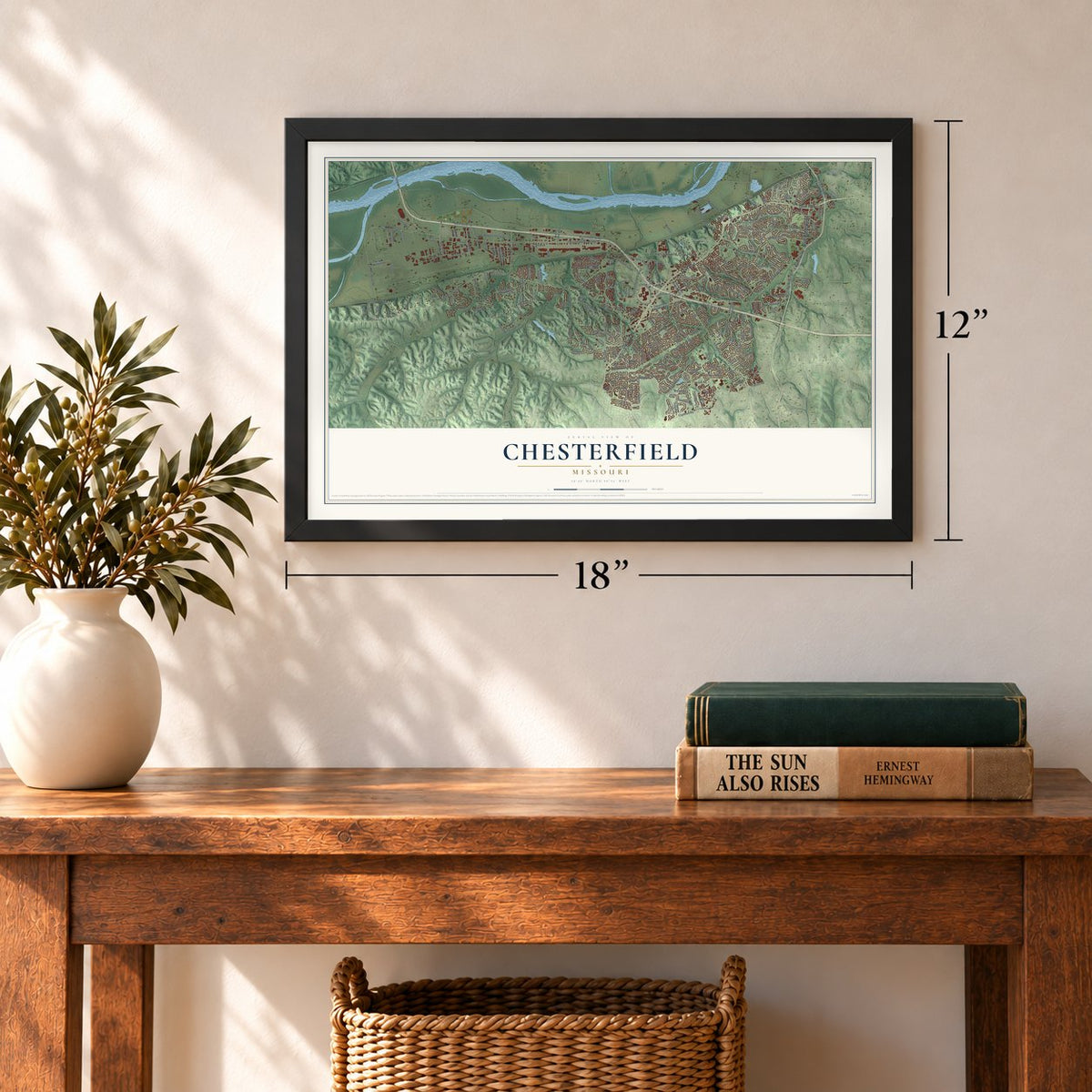
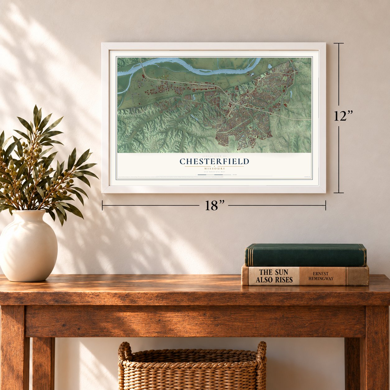
Three ways to hang it
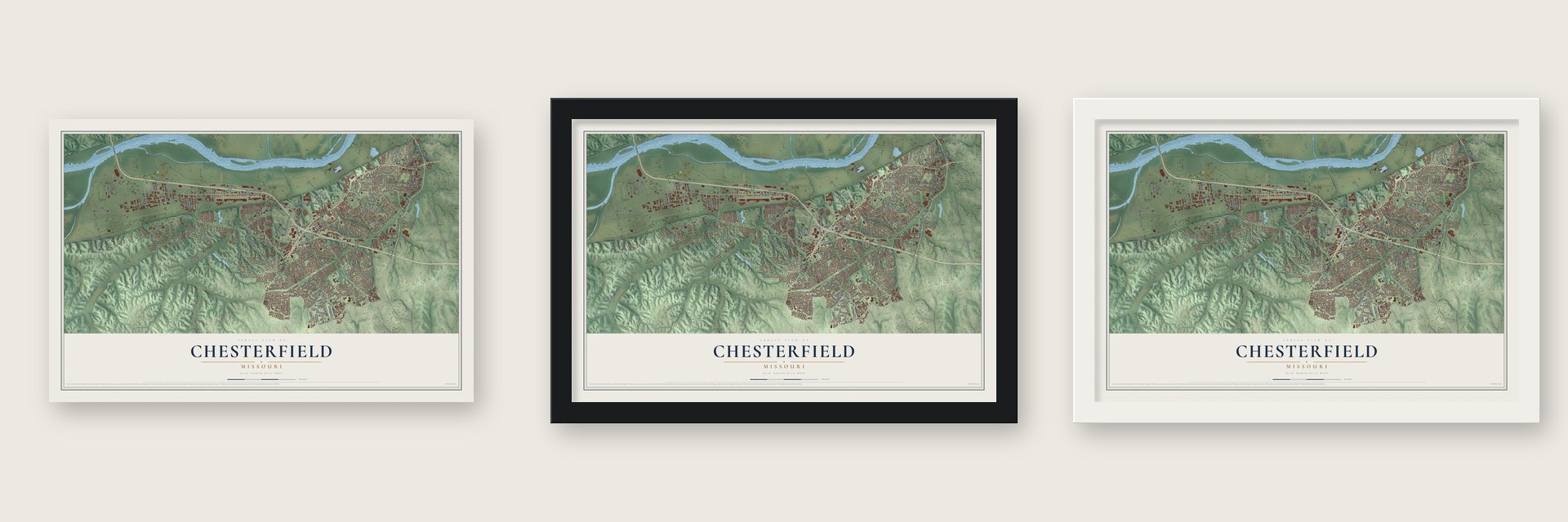
Unframed archival matte, a black wood frame or a white wood frame.
Up close
Geography Worth Displaying
This map was created using accurate cartographic data and authoritative geographic sources, including the U.S. Geological Survey and the Census Bureau. The map brings together terrain, waterways, roads, and building detail. The majority of the streets are labeled, houses are accurately depicted, and the topography is derived from government sources. Combining local data with carefully composed color and shading leads to this beautifully detailed Chesterfield artwork for your wall.
Rather than simply showing street outlines, we’ve included as many of the street names as we could reasonably fit on the map while keeping their names legible. Zoom in on the high resolution preview to see exactly what’s on the map. We truly set out to create a statement piece for anyone who loves Chesterfield. So whether it’s for you, or a gift for someone you love, we hope this map of Chesterfield brings back fond memories.
Read the story behind this map of Chesterfield, Missouri from 2026.
Find your street
Names on the Chesterfield map
Every name below is printed on this map. Look for your street, your school, the park where you played, or the pond down the road.
Places and landmarks10
- Chesterfield City Hall
- Benbush
- Faust County Park
- Bellefontaine
- Gumbo
- Hine
- Lake
- Loehr
- Monarch
- Stevens
Streets and roads245
- Olive Boulevard
- Clarkson Road
- North Woods Mill Road
- North Outer 40
- Schoettler Road
- Chestfield Parkway South
- Chesterfield Mall
- Swingley Ridge Drive
- Howard Bend Station Road
- North Eatherton Road
- Lydia Hill Drive
- Edison Avenue
- Olive Street Road
- La Gorce Drive
- Forest Crest Drive
- South Outer 40
- Swingley Ridge Road
- Wild Horse Creek Road
- Baxter Road
- Chesterfield Airport Road
- North Outer 40 Road
- Conway Road
- White Road
- Clayton Road
- Country Ridge Drive
- Wilson Avenue
- Kehrs Mill Road
- Wilson Road
- Ladue Road
- Appalachian Trail
Show all 245 streets
- Schoettler Valley Drive
- South Woods Mill Road
- Glen Cove Drive
- Highcroft Drive
- Isleview Drive
- Thf Boulevard
- Wilson Farm Drive
- Waterworks Road
- West Drive
- Brook Hill Drive
- Long Road Crossing Drive
- River Valley Drive
- Nooning Tree Drive
- Straub Road
- Grantley Drive
- Long Road
- Hager Lane
- Marmont Drive
- Ridge Crest Drive
- Outlet Boulevard
- Summer Lake Drive
- Cross Trails Drive
- Brittania Drive
- Griffith Lane
- Summer Ridge Drive
- North Drive
- Burkhardt Place
- Rainy Lake Drive
- Westernmill Drive
- Golden Rain Drive
- Church Road
- Dinsmoor Drive
- White Lane Drive
- Strecker Road
- Portico Drive
- Meadow Oak Drive
- Saylesville Drive
- Ridge Lake Drive
- First Street
- Trailtop Drive
- Candish Lane
- Gatemont Drive
- Rhl Drive
- Forsheer Drive
- Nardin Drive
- Cove Drive
- Cepi Drive
- Spirit Drive
- Maryland Heights Expressway
- Woods Mill Road
- Chesterfield Parkway East
- Broadmoor Drive
- Tramore Drive
- Green Trail
- Chesterfield Parkway North
- Chesterfield Lakes Road
- Old Chesterfield Road
- Cedarmill Drive
- River Bend Drive
- Spirit of Saint Louis Boulevard
- Claymont Estates Drive
- Carriage Crossing Lane
- Timberlake Manor Parkway
- Wildhorse Parkway Drive
- Ladue Farm Road
- Creve Coeur Mill Road
- Woodcliffe Place Drive
- Yarmouth Point Drive
- Benton Taylor Drive
- Ridge Trail Drive
- White Birch Valley Lane
- Parasol Drive
- White Plains Drive
- Denwoods Court
- Old Baxter Road
- Chesterfield Industrial Boulevard
- Chesterfield Manor Drive
- Thornhill Terrace
- South Outer Forty Road
- Fick Farm Road
- Chesterfield Farms Drive
- Goddard Avenue
- Baxter Lane
- Wings Corporate Drive
- Terrimill Terrace
- Kendall Bluff Court
- Trade Center Boulevard
- Chesterton Lane
- Claymoor Drive
- Timberbluff Drive
- Somerset Field Drive
- East Spirit Valley Drive
- Markham Lane
- Heather Crest Drive
- Justus Post Road
- Countryside Manor Parkway
- Wild Horse Ridge Drive
- Squires Way Drive
- Sycamore Drive
- Valley View Drive
- Abor Grove Court
- Hog Hollow Road
- Judson Manor Drive
- Rogue River Drive
- Boxford Court
- Oak Stand Path
- Ridgecrest Drive
- Veterans Place Drive
- Tuma Lane
- Conway Meadows Drive
- Renaldo Drive
- Wilson Manor Drive
- Walnut Hill Drive
- Boones Crossing
- Hoffman Road
- Seabrook Drive
- Andraes Drive
- Royalbrook Drive
- Woodlet Way Court
- Farmers Mill Lane
- Baxton Way
- Westerly Place
- Big Timber Lane
- Luray Drive
- Timber Valley Road
- Conway Oaks Drive
- Spirit 40 Park Drive
- Blue Hill Road
- Rustic Oak Road
- Mallard Lake Drive
- Eads Avenue
- Bell Avenue
- Chesterfield Center
- Westmeade Drive
- Greystone Manor Parkway
- Stablestone Drive
- Wildhorse Meadows Drive
- Joyceridge Drive
- High Valley Drive
- Eagle Bluff Court
- Bottlebrush Court
- Forestvale Drive
- Sugarwood Trail Drive
- Clover Ridge Drive
- Petzold Road
- Tara Oaks Drive
- Strollways Drive
- Dejournet Drive
- Arnage Road
- Windfall Ridge
- Wings of Hope Boulevard
- Deep Forest Drive
- Santa Maria Drive
- Country Field Drive
- Lake Clay Drive
- Stenton Path
- Deerhorn Drive
- Riverdale Drive
- Heffington Drive
- Sentrus Place
- Harleston Village Drive
- Woodbridge Crossing Drive
- Woodlake Village Drive
- Baxter Ridge Drive
- Spirit Airpark West Drive
- Park Forest Drive
- Gunston Hall Court
- Winter Wheat Road
- Hidden Oak Drive
- Post Road
- Eagle Manor Lane
- Corley Drive
- Fairfield Farm Drive
- Falling Leaves Drive
- August Hill Road
- Duxbury Way
- Goddard Road
- Narrows Drive
- Chequer Drive
- Richley Drive
- South Eatherton Road
- Arrowhead Estates Lane
- Pacland Place
- Dp Casey Memorial Drive
- Surrey View Drive
- Sycamore Manor Drive
- Picardy Hill Drive
- Newburyport Road
- Crystal Springs Drive
- Hunters Way Drive
- Wild Horse Way
- Chermoore Drive
- Hill House Road
- Hunters Hill Drive
- Bridgeway Drive
- Lochcrest Drive
- Cypress Hill Drive
- Agusta Drive
- Mill Spring Drive
- Todd Evan Trail
- Pub Works Drive
- West Hill Road
- Eatherton Road
- Toreador Drive
- Beaver Creek Road
- Barons Way Drive
- Eddington Drive
- Conway Springs Drive
- Savonne Court
- Lake Manor Court
- Rialto Drive
- County Cork Drive
- Willow Ridge Lane
- Chamisal Drive
- Brayhill Court
Names are listed as they appear on the printed map. Zoom into the product photos to find them.
About Chesterfield, Missouri
Chesterfield is a city of 49,999 people in St. Louis County, and it ranks as Missouri's 14th most populous city. Landowner Justus Post came to Missouri in 1815 and began building up an estate here. He had grown up in Vermont near Chesterfield, New Hampshire, so he gave this place the same name, and it lasted even after he moved on to Illinois.
For many years Chesterfield was only a loose name for a wide unincorporated part of West County. Malls and offices kept growing, but police and fire service stayed patchy, and residents objected that sales tax from their stores went to the county. John A. Nuetzel led the Chesterfield Incorporation Study Committee, whose members passed the hat at neighborhood meetings, hired lawyers, drew the boundaries and forced several votes that failed. Residents finally created the City of Chesterfield in 1988.
- Gumbo mud at the World's FairThe valley village of Gumbo, at today's Chesterfield Airport Road and Long Road, took its name from rich, silty soil that turned to sticky mud in the rain. A gravel-like material made from that mud paved streets and sidewalks in Forest Park for the 1904 World's Fair. Gumbo had a post office from 1882 to 1907, and its Twenty Five Mile House, named for the distance to downtown St. Louis, stood until 1998.
- Hog Hollow becomes LakeA settlement called Hog Hollow grew up around 1850 and got a post office under that name in 1871. A year later residents switched to Lake, a name some found more fitting. Zierenberg's General Merchandise and Saloon went up around 1880 on Olive Street Road, where the road's 18-mile marker stood. It burned in 1918, and a new building rose on the same corner of Olive Boulevard and Hog Hollow Road.
- The levee breaks in 1993On July 30, 1993, the levee guarding Gumbo Flats from the Missouri River gave way, its first failure since 1935. The town was ordered out, and the whole valley sat under feet of water. Higher levees were built afterward, and the valley, now called Chesterfield Valley, filled with businesses, including the Chesterfield Commons retail area and Spirit of St. Louis Airport.
- A famous potato, twiceAccording to the Ramsay Place Names File, a potato called the Chesterfield took its name from this place and spread that name widely. Much later, on June 2, 1987, scientists at the Chesterfield Village Research Center grew the first genetically modified potato.
Keep exploring Missouri
Chesterfield is one of 1,207 Missouri towns we've mapped. Every dot on the map is a print of its own.
The search covers every state, Missouri first.
Near Chesterfield
Order 2 or more town maps and save 10%. Shown in the size and finish you picked above, so they hang as a set.
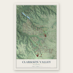
- Clarkson Valley 12" x 18" / Archival Matte Print $39.99
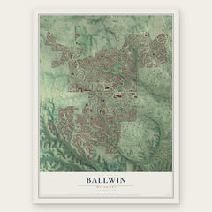
- Ballwin 12" x 18" / Archival Matte Print $39.99
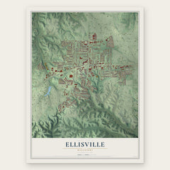
- Ellisville 12" x 18" / Archival Matte Print $39.99
More maps nearby: Weldon, Weldon Spring, Winchester, Town and Country and Howell.
The art of mapping a place
How This Map Was Made
Real places. Remarkable detail. Discover the layers that turn geographic data into a map of home.

The view from above
Aerial imagery reveals the character of the land: woodland, open fields, and the patterns of a place.

The shape of the land
Elevation data brings hills, valleys, and subtle changes in the landscape into view.

The details of home
Roads, waterways, and building footprints come together to make the map feel unmistakably local.

Geography becomes art
Considered color, shading, and typography bring the layers together in a map made for your wall.


Process illustrated with Mendon, Massachusetts. Aerial imagery: USDA NAIP. Terrain: USGS 3D Elevation Program. Map details and finished artwork: KNOWOL.
The Details
About This Print
Choose an archival matte print, or a black or white Ayous wood frame. The archival matte print is unframed.
Select your size and finish above to see the matching product image and price.
Materials & Craftsmanship
A contemporary map with the character of a classic atlas, printed on archival matte paper. Optional frames are made from Ayous wood.
Your printed map does not include the watermark shown in the full-map preview.
Shipping & Delivery
Free shipping within the United States. Every print is made to order in the USA.
Buying a gift? Add a note in your cart and we'll include it. We never put prices in the package.
Prints ship within 2 to 3 business days. Allow 7 to 10 days total from ordering for delivery. Timing may vary during holidays or periods of high order volume.
Read our shipping policy.
Returns and damaged prints
Each print is made to order. Change-of-mind refunds are not available after production.
If your print arrives damaged, misprinted or incorrect, contact support@knowol.com within 30 days of receiving it. Include your order number, photos and a description of the issue.
Read our full refund and replacement policy. For questions about your order, email support@knowol.com.