
Search for another town




Free U.S. delivery 7 to 10 days after you order
Cheyenne, Wyoming Map Art
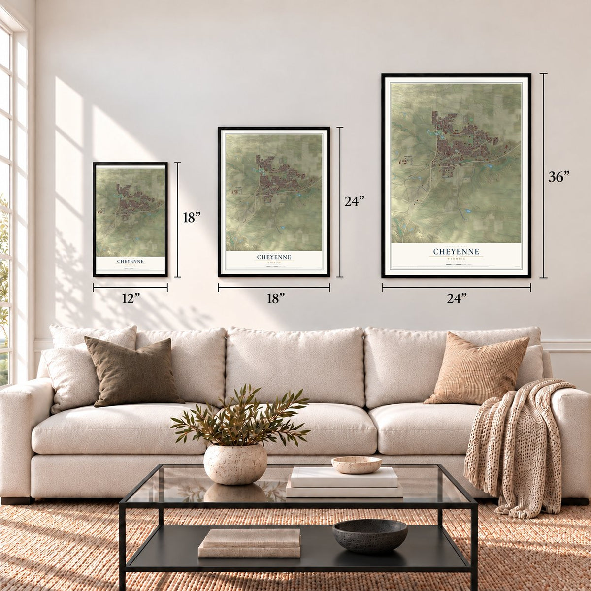
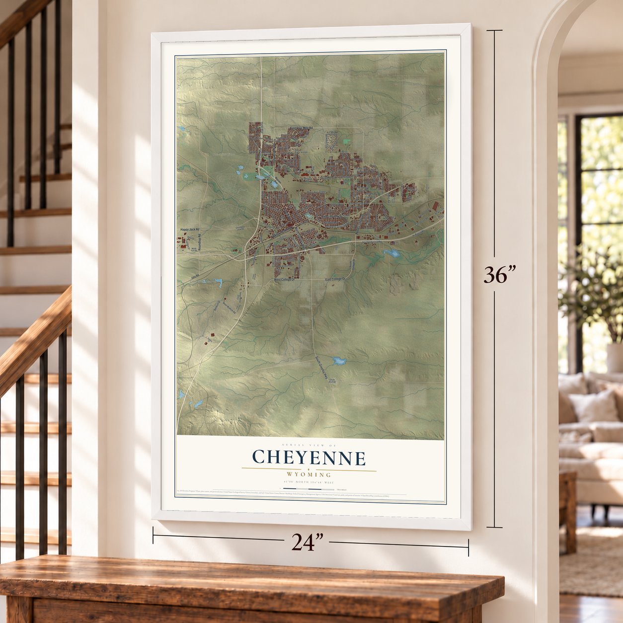
A new map of Cheyenne, Wyoming, made in 2026 and printed to order on thick archival matte paper.
12" x 18" Archival Matte Print
A Map of Home. A Work of Art.
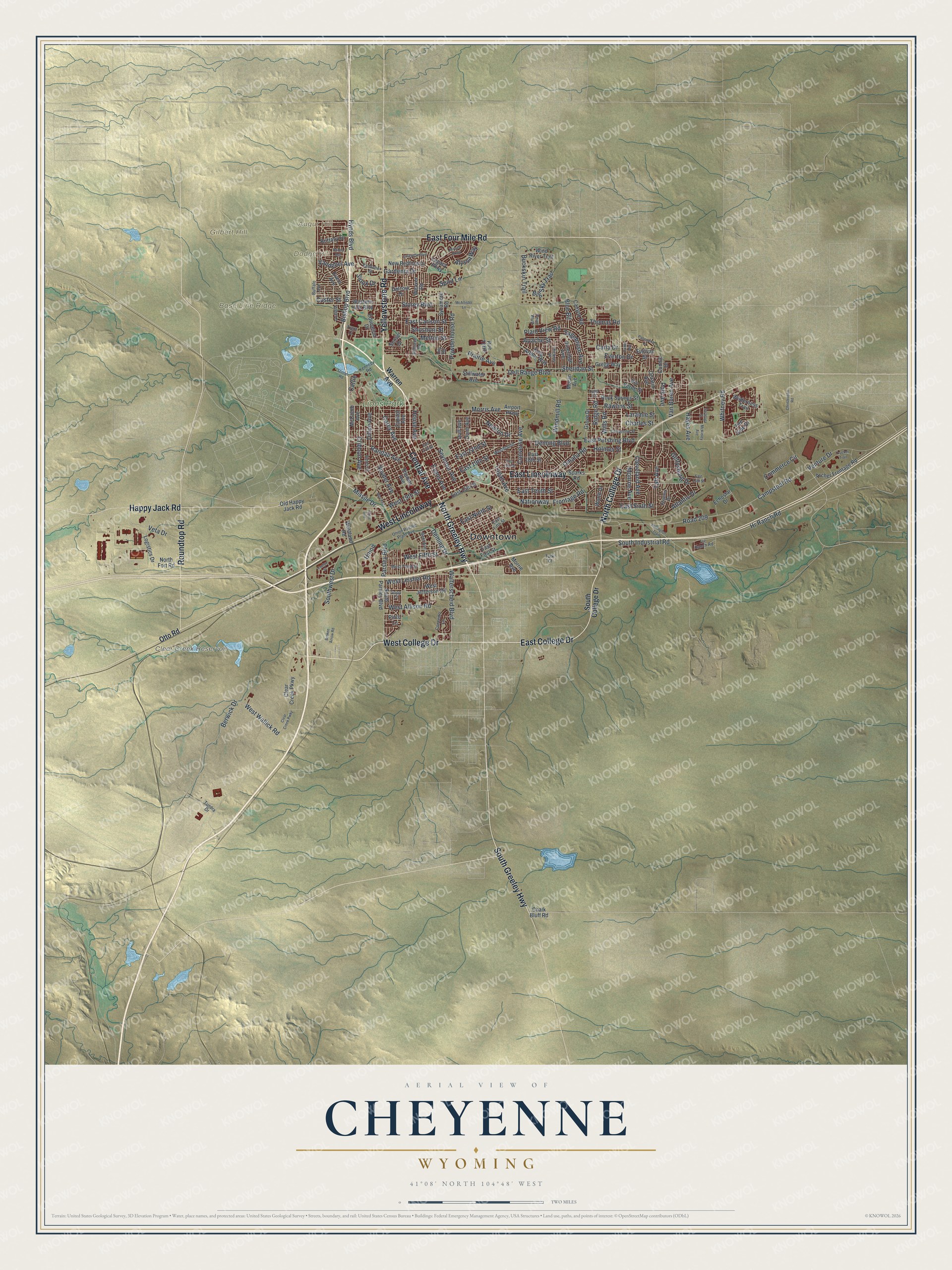
Explore Cheyenne, Wyoming from a whole new perspective. Created using aerial imagery and detailed geographic data, this map captures Cheyenne building by building, with labeled streets, familiar landmarks, and shaded topographical relief that highlights the natural contours of the landscape.
Combining modern data with the timeless character of a vintage atlas, this map is just as interesting up close as it is beautiful on the wall. Whether you grew up in Cheyenne, spent memorable years there, or call it home today, this unique map is a great way to celebrate a place that means something to you. Zoom in on the preview to look for your street, and then order a print to put your memories on the wall.
Three ways to hang it
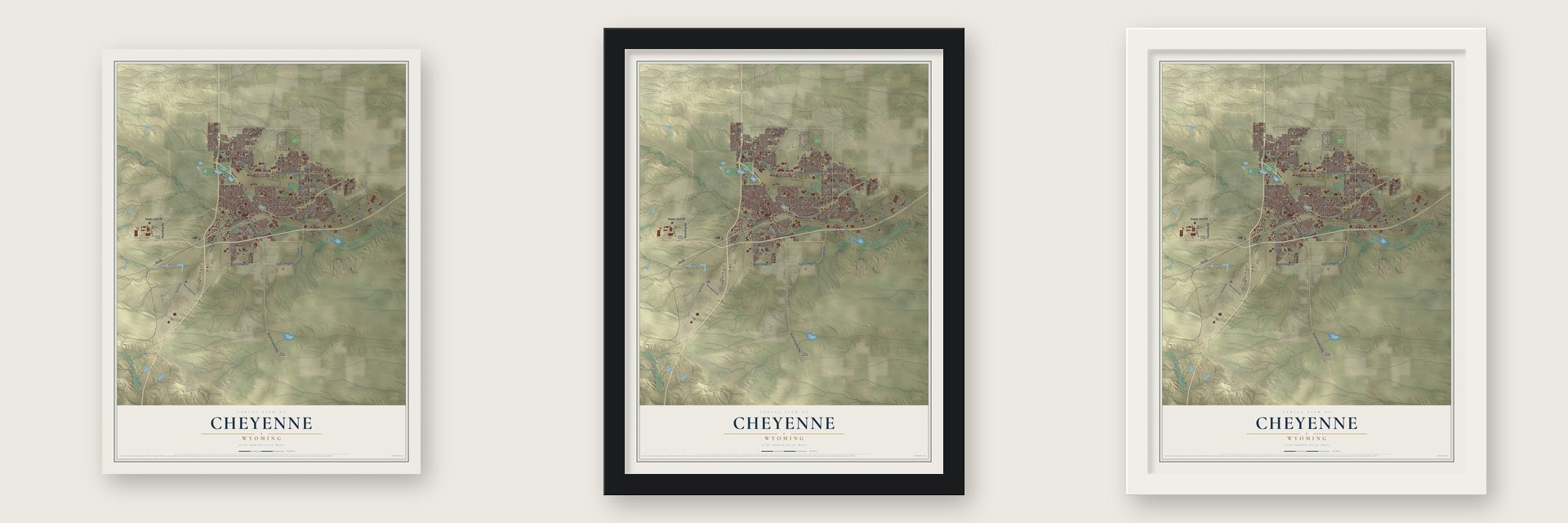
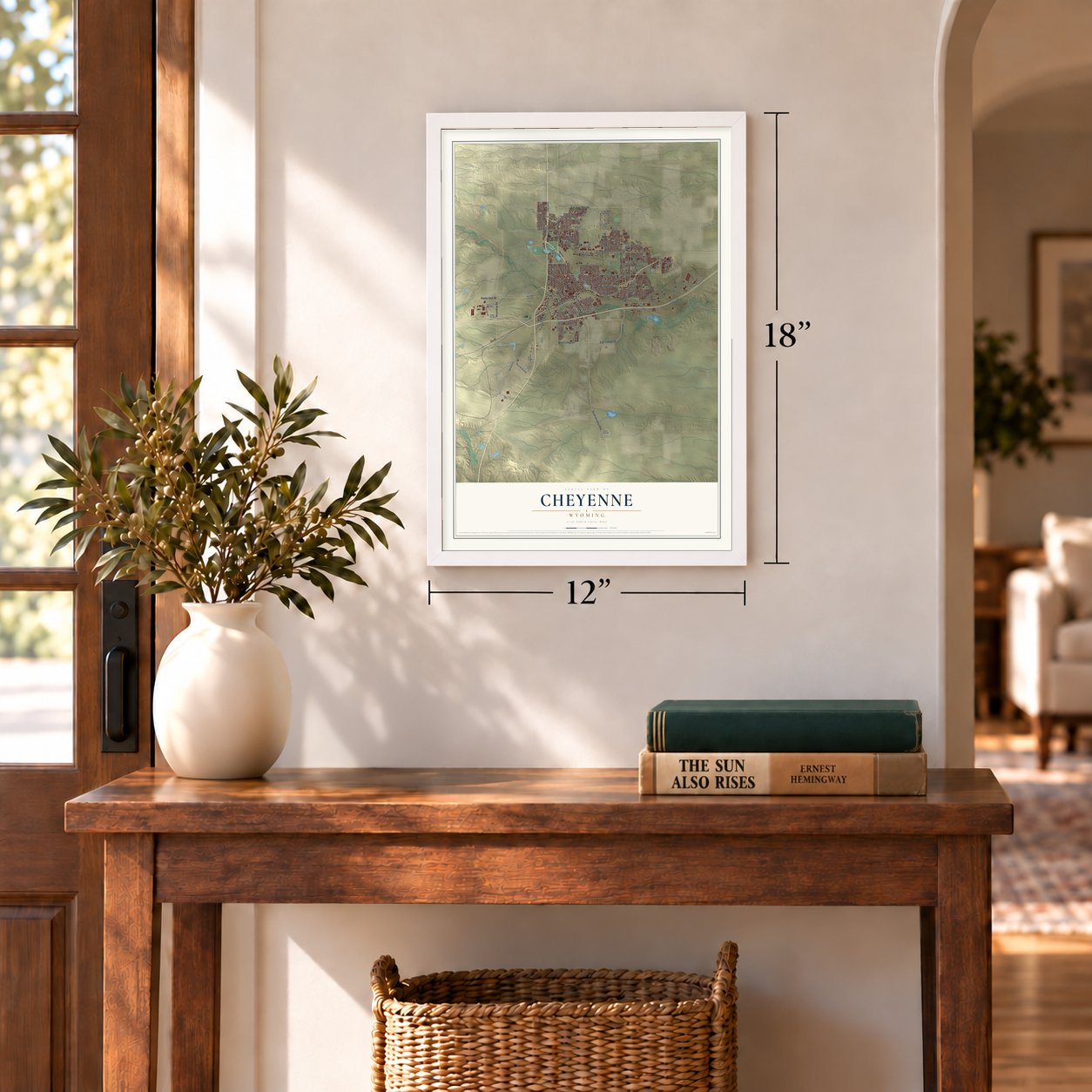
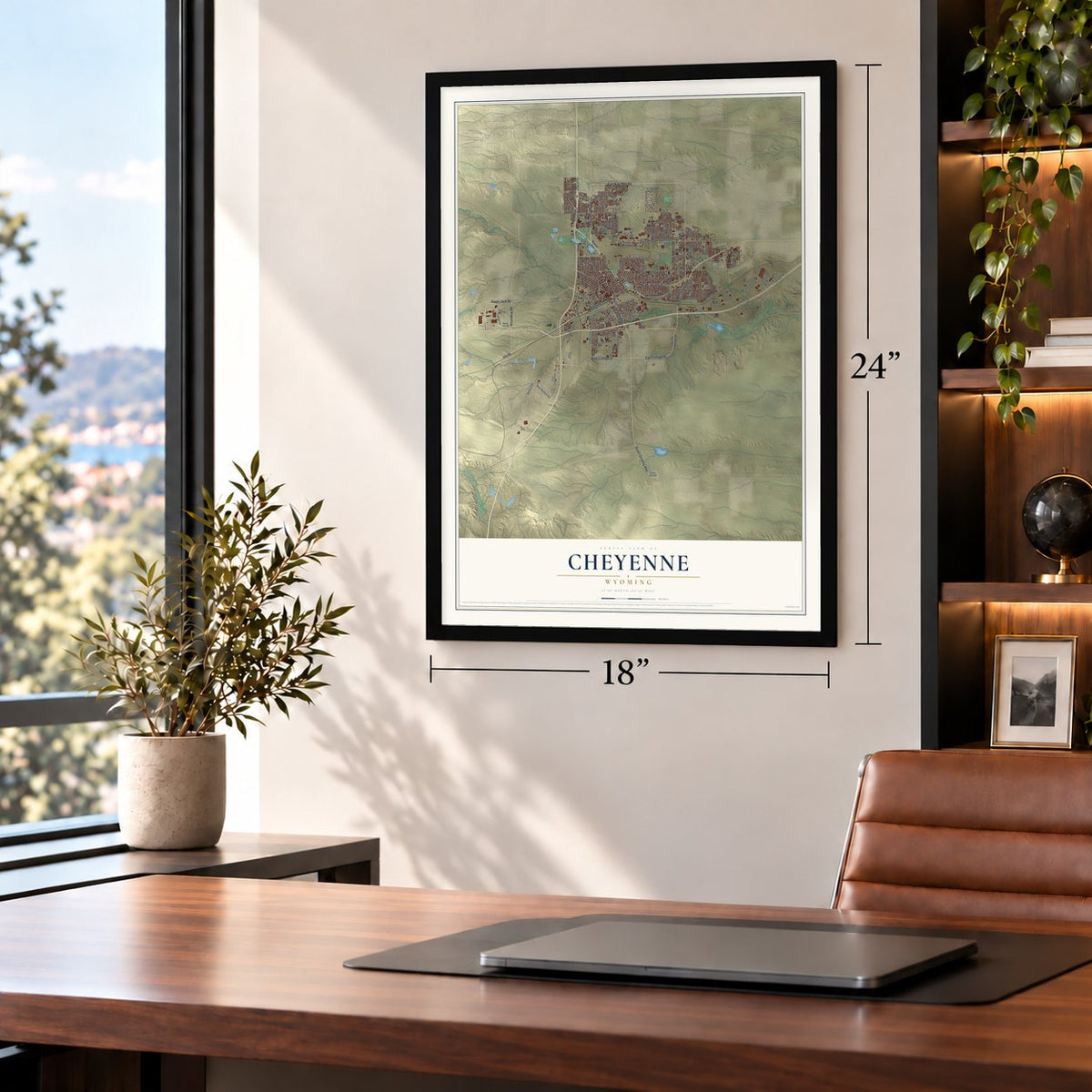
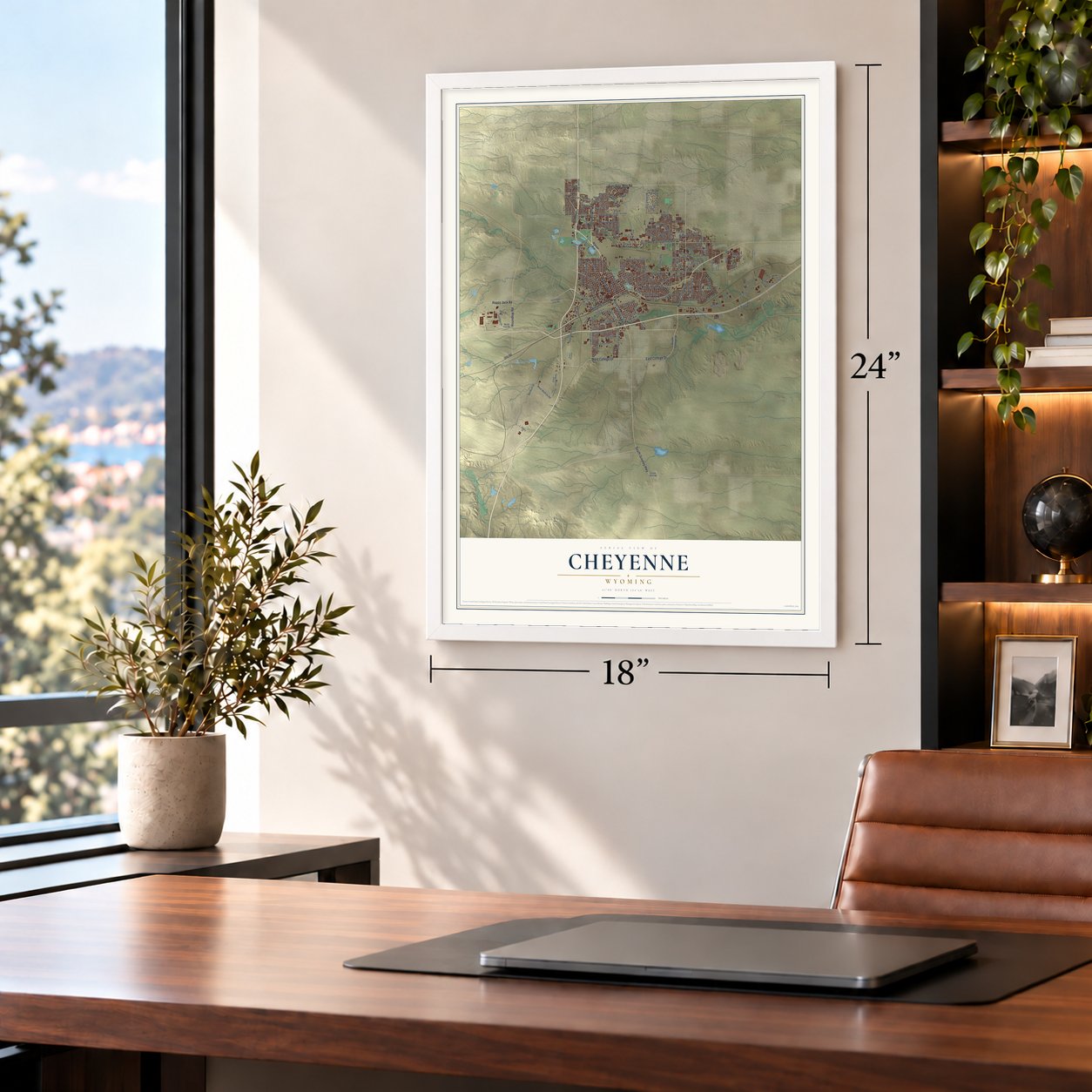
Unframed archival matte, a black wood frame or a white wood frame.
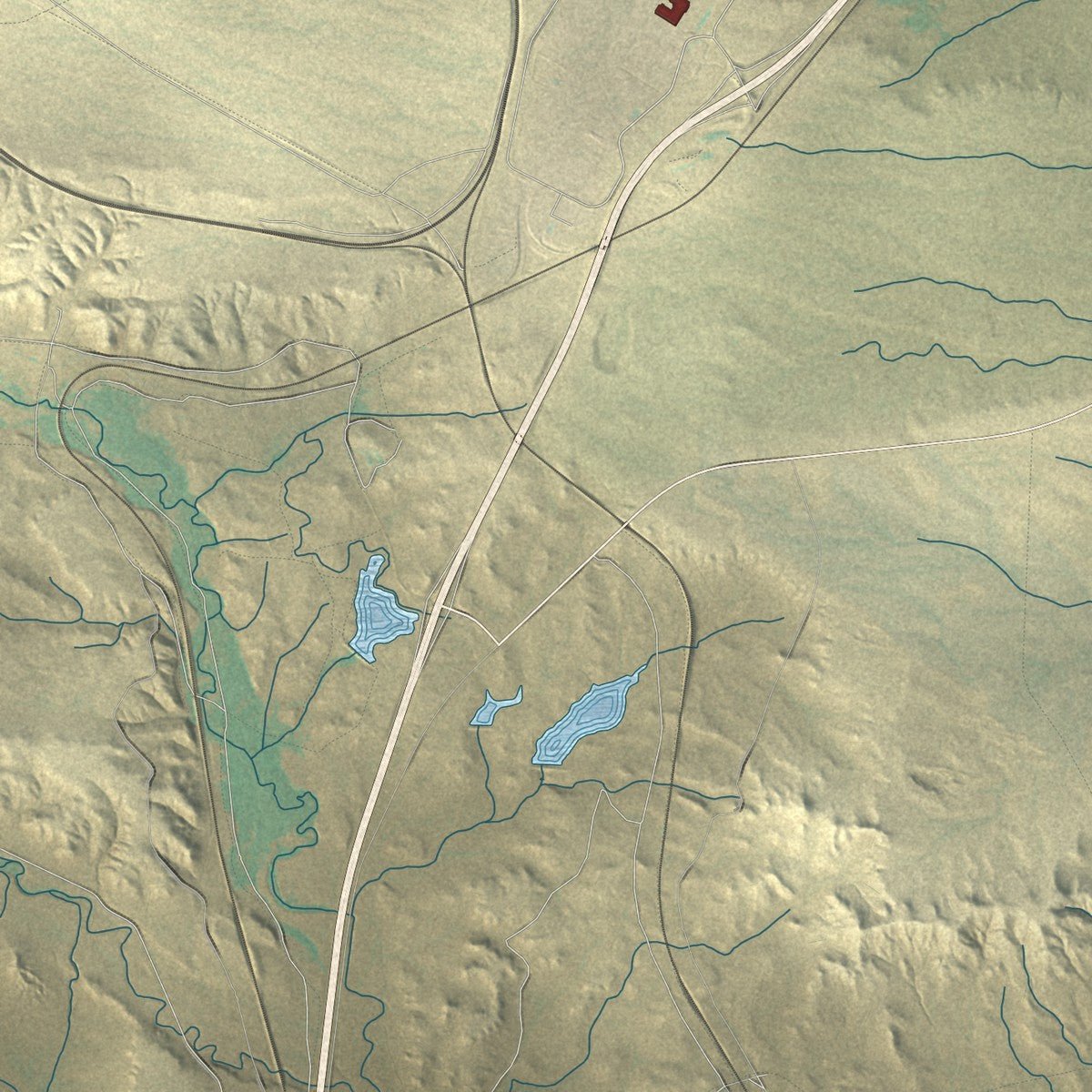
Up close
Geography Worth Displaying
This map was created using accurate cartographic data and authoritative geographic sources, including the U.S. Geological Survey and the Census Bureau. The map brings together terrain, waterways, roads, and building detail. The majority of the streets are labeled, houses are accurately depicted, and the topography is derived from government sources. Combining local data with carefully composed color and shading leads to this beautifully detailed Cheyenne artwork for your wall.
Rather than simply showing street outlines, we’ve included as many of the street names as we could reasonably fit on the map while keeping their names legible. Zoom in on the high resolution preview to see exactly what’s on the map. We truly set out to create a statement piece for anyone who loves Cheyenne. So whether it’s for you, or a gift for someone you love, we hope this map of Cheyenne brings back fond memories.
Read the story behind this map of Cheyenne, Wyoming from 2026.

About Cheyenne, Wyoming
Cheyenne is the capital of Wyoming and the seat of Laramie County, a city of 65,132 people on Crow Creek and Dry Creek. On July 4, 1867, Grenville M. Dodge, speaking for the Union Pacific Railroad, told a holiday crowd that the company would put its mountain region headquarters beside the bridge it planned over Crow Creek, in what was then Dakota Territory. The railroad laid out the townsite the next day, and residents named it for the Cheyenne people.
The town incorporated on August 8, 1867, and two days later it elected H. M. Hook as its first mayor. Union Pacific tracks reached Cheyenne on November 13, and the first train pulled in the next day. The town grew so fast that people called it the "Magic City of the Plains." After Wyoming Territory was organized on July 25, 1868, Governor John Allen Campbell arrived on May 7, 1869, and made Cheyenne the temporary capital. It has been Wyoming's only capital ever since, through statehood on July 10, 1890.
“In 1897, the Wyoming Legislature passed a new state law providing for county libraries funded by local tax revenues, and the nation’s first county library was established in Cheyenne.”
- Votes for women in 1869The first Wyoming Territorial Legislature met in Cheyenne on December 10, 1869. That same day lawmakers passed, and Governor Campbell signed, an act giving women the right to vote. No U.S. state or territory had done that before. On the same day they also reincorporated Cheyenne as a town of Wyoming Territory.
- A fort to guard the railroadAt the same July 4 celebration, Maj. Gen. Christopher C. Augur chose a site three miles west of Crow Creek Crossing for an Army post to guard the railroad. Fort D. A. Russell, named for Brig. Gen. David Allen Russell, opened as a cavalry camp on September 8, 1867, and building began a month later. Renamed in 1930 for Francis E. Warren, Wyoming's first state governor, it became an Air Force base under his name in October 1949.
- Frontier Days since 1897Cheyenne Frontier Days has been held since 1897. It runs for 10 days around the last full week of July, with bull riding, steer wrestling, bronc riding, barrel racing, parades and a carnival, and it is billed as the world's largest outdoor rodeo and western festival.
- Bombers outfitted in wartimeCheyenne Regional Airport opened in 1920 as a stop for airmail and grew into a civil and military field that handled DC-3s. During World War II, crews there outfitted and upgraded hundreds of B-17s, B-24s and PBYs.
Find your street
Names on the Cheyenne map
Every name below is printed on this map. Look for your street, your school, the park where you played, or the pond down the road.
Places and landmarks7
- Downtown
- Augur Hill
- Base Line Ridge
- Dodge Hill
- Gilbert Hill
- Clear Creek Reservoir
- Lions Park
Streets and roads190
- Central Avenue
- North Greeley Highway
- Yellowstone Road
- West College Drive
- East College Drive
- South Greeley Highway
- North College Drive
- East Four Mile Road
- East Lincolnway
- West Lincolnway
- Happy Jack Road
- Roundtop Road
- Missile Drive
- Deming Drive
- Taft Avenue
- Deming Boulevard
- Walterscheid Boulevard
- Newton Drive
- Polk Avenue
- East 19th Street
- West 19th Street
- Randall Avenue
- West Fifth Street
- West Leisher Road
- Parsley Boulevard
- Dell Range Boulevard
- East Pershing Boulevard
- Campstool Road
- Road 209
- Converse Avenue
Show all 190 streets
- Storey Boulevard
- Hynds Boulevard
- Nationway
- Ridge Road
- Hr Ranch Road
- Carey Avenue
- Snyder Avenue
- Powderhouse Road
- Evans Avenue
- Dillon Avenue
- Windmill Road
- Cleveland Avenue
- House Avenue
- Bishop Boulevard
- East Tenth Street
- Morris Avenue
- Cribbon Avenue
- Laramie Street
- Berwick Drive
- Whitney Road
- Seymour Avenue
- East Ninth Street
- East Sixth Street
- South Industrial Road
- East 22nd Street
- Charles Street
- Logan Avenue
- Rawlins Street
- Prairie Avenue
- Gardenia Drive
- Monroe Avenue
- Southwest Drive
- West Allison Road
- Wills Road
- Thomas Road
- East Carlson Street
- Veta Drive
- Hayes Avenue
- Venture Drive
- Apache Street
- Van Buren Avenue
- Sheridan Street
- Sagebrush Avenue
- Atlantic Drive
- West Wallick Road
- Commerce Circle
- Plain View Road
- Buckskin Trail
- Gettysburg Drive
- Melton Street
- Omaha Road
- Big Sky Trail
- Shoshoni Street
- Carla Drive
- Frontage Road
- Everton Drive
- Custer Street
- Vandehei Avenue
- Alyssa Way
- Union
- Holmes Street
- Spirit Lane
- Blue Blf
- Cattle
- Sioux Drive
- Warren Avenue
- South College Drive
- Otto Road
- East 15th Street
- Old Happy Jack Road
- Clear Creek Parkway
- Capitol Avenue
- Morrie Avenue
- Thomes Avenue
- East 18th Street
- West Jefferson Road
- Evers Avenue
- Rock Springs Street
- McComb Avenue
- Dunn Avenue
- Airport Parkway
- Weaver Road
- South Parsley Boulevard
- Western Hills Boulevard
- Duff Avenue
- Logistics Drive
- Westland Road
- Sycamore Road
- Legacy Parkway
- Grove Drive
- Archer Frontage Road
- Sunset Drive
- New Bedford Drive
- Moran Avenue
- Rue Terre
- East First Street
- King Arthur Way
- Canyon Road
- Wilderness Trail
- Ontario Avenue
- Education Drive
- Pineridge Avenue
- Gregg Way
- Rio Verde Street
- Stillwater Avenue
- Brittany Drive
- Echostar Drive
- Wind River Trail
- Sullivan Street
- North Fort Road
- Sparks Road
- Chalk Bluff Road
- Worth Drive
- Fire Side Drive
- Dalcour Drive
- Pinto Lane
- Connie Drive
- Bent Avenue
- Westbound
- East Fifth Street
- Cheyenne Street
- West Third Street
- Union Pacific Plant Avenue
- Point Bluff
- Ames Court
- Hoy Road
- Phoenix Drive
- Vandehei Street
- Kennedy Road
- Concerto Lane
- Hickory Place
- Buffalo Avenue
- Land Court
- Vista Lane
- Liz Ranch Road
- Seminoe Road
- Tundra Drive
- Gopp Court
- Trent Court
- Turk Court
- Clear Creek Pwky
- Christensen Road
- East 13th Street
- Dey Avenue
- East 17th Street
- Miracle Parkway
- Trucker Trail
- Panorama Court
- Burlington Trail
- East 27th Street
- Rodeo Avenue
- Lafayette Boulevard
- Broken Arrow Road
- Grant Avenue
- McAllister Lane
- Evelyn Street
- Saratoga Street
- McKinley Avenue
- Stinner Road
- Cable Avenue
Names are listed as they appear on the printed map. Zoom into the product photos to find them.
The art of mapping a place
How This Map Was Made
Real places. Remarkable detail. Discover the layers that turn geographic data into a map of home.

The view from above
Aerial imagery reveals the character of the land: woodland, open fields, and the patterns of a place.

The shape of the land
Elevation data brings hills, valleys, and subtle changes in the landscape into view.

The details of home
Roads, waterways, and building footprints come together to make the map feel unmistakably local.

Geography becomes art
Considered color, shading, and typography bring the layers together in a map made for your wall.


Process illustrated with Mendon, Massachusetts. Aerial imagery: USDA NAIP. Terrain: USGS 3D Elevation Program. Map details and finished artwork: KNOWOL.
The Details
About This Print
Choose an archival matte print, or a black or white Ayous wood frame. The archival matte print is unframed.
Select your size and finish above to see the matching product image and price.
Materials & Craftsmanship
A contemporary map with the character of a classic atlas, printed on archival matte paper. Optional frames are made from Ayous wood.
Your printed map does not include the watermark shown in the full-map preview.
Shipping & Delivery
Free shipping within the United States. Every print is made to order in the USA.
Buying a gift? Add a note in your cart and we'll include it. We never put prices in the package.
Prints ship within 2 to 3 business days. Allow 7 to 10 days total from ordering for delivery. Timing may vary during holidays or periods of high order volume.
Read our shipping policy.
Returns and damaged prints
Each print is made to order. Change-of-mind refunds are not available after production.
If your print arrives damaged, misprinted or incorrect, contact support@knowol.com within 30 days of receiving it. Include your order number, photos and a description of the issue.
Read our full refund and replacement policy. For questions about your order, email support@knowol.com.
Find your town
Looking for another city?
Find a map of home in our Wyoming collection, or any town in the country.
Nearby
Maps of towns near Cheyenne
Know someone from one of these towns? Their map makes a great gift.
 Fox Farm-College
, Wyoming
From $39.99See the map
 South Greeley
, Wyoming
From $39.99See the map
 Warren AFB
, Wyoming
From $39.99See the map
More maps nearby: Ranchettes, Hillsdale, Burns, Carpenter and Pine Bluffs.