
Search for another town




Free U.S. delivery 7 to 10 days after you order
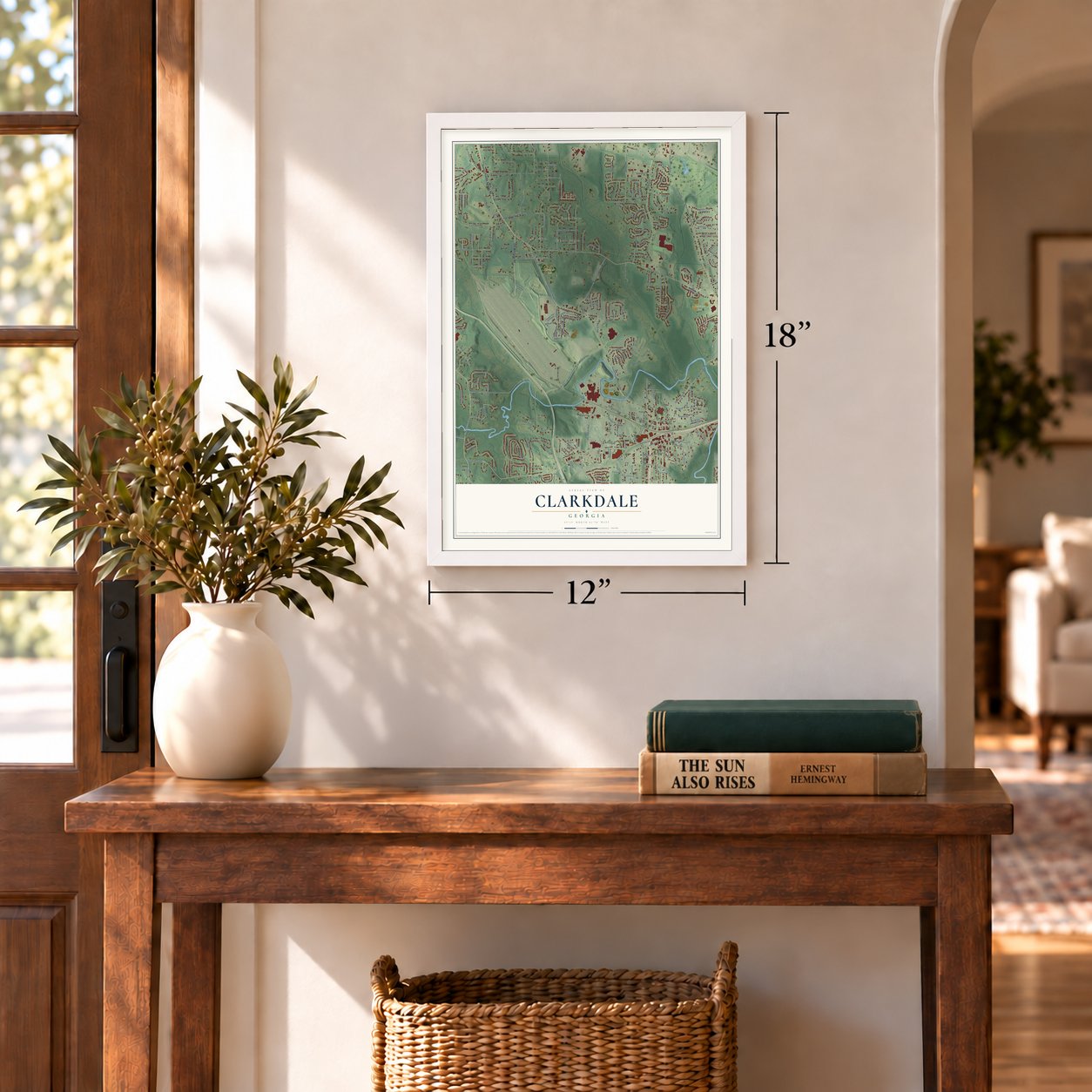
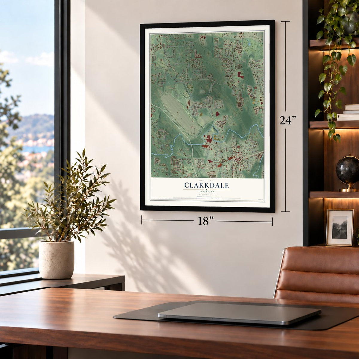
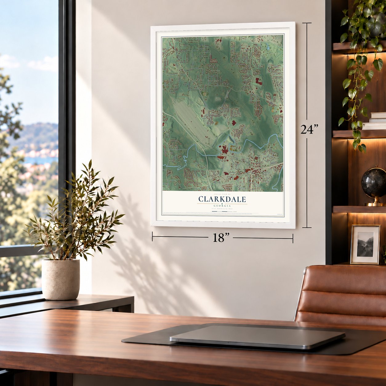
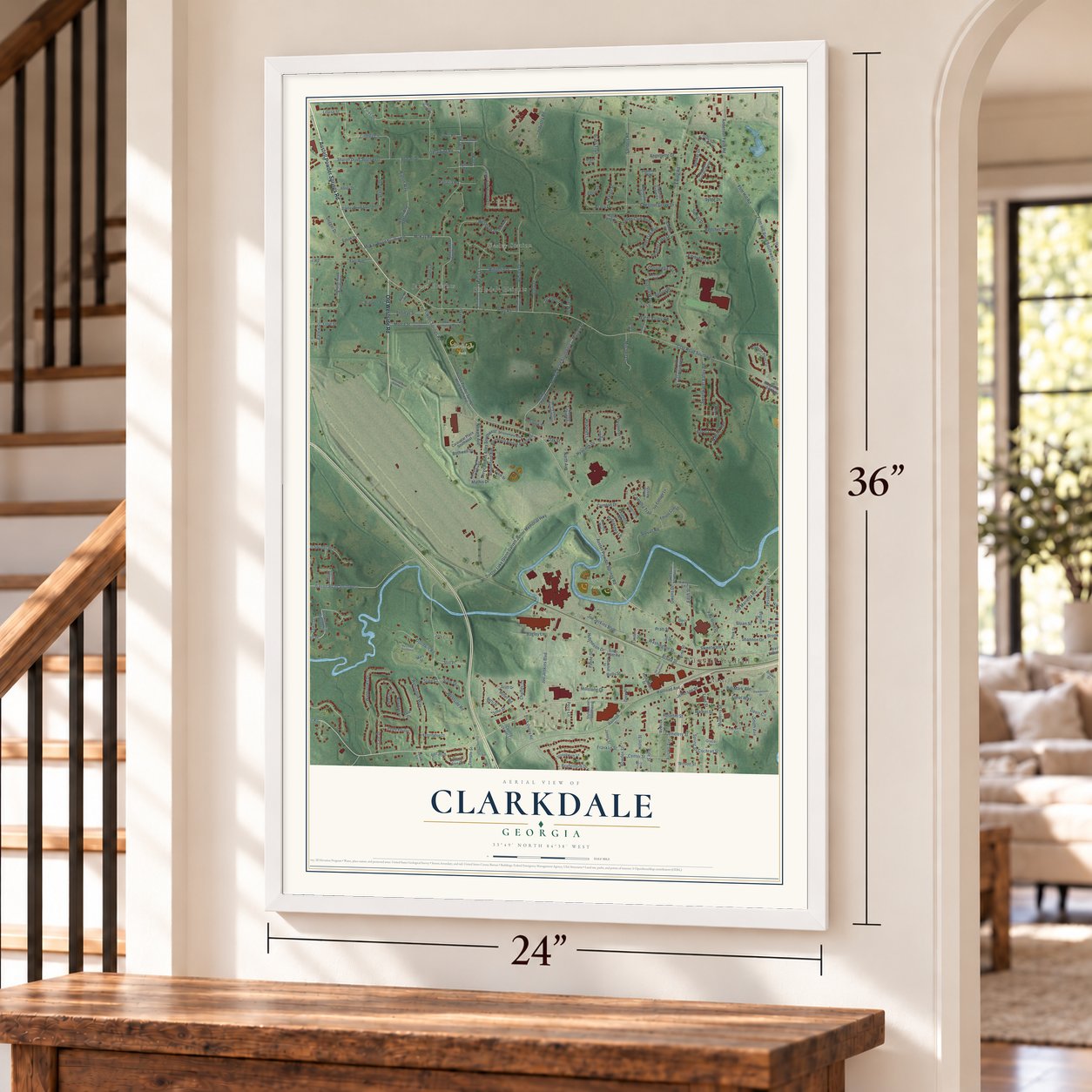
Clarkdale, Georgia Map Art
A new map of Clarkdale, Georgia, made in 2026 and printed to order on thick archival matte paper.
12" x 18" Archival Matte Print
A Map of Home. A Work of Art.
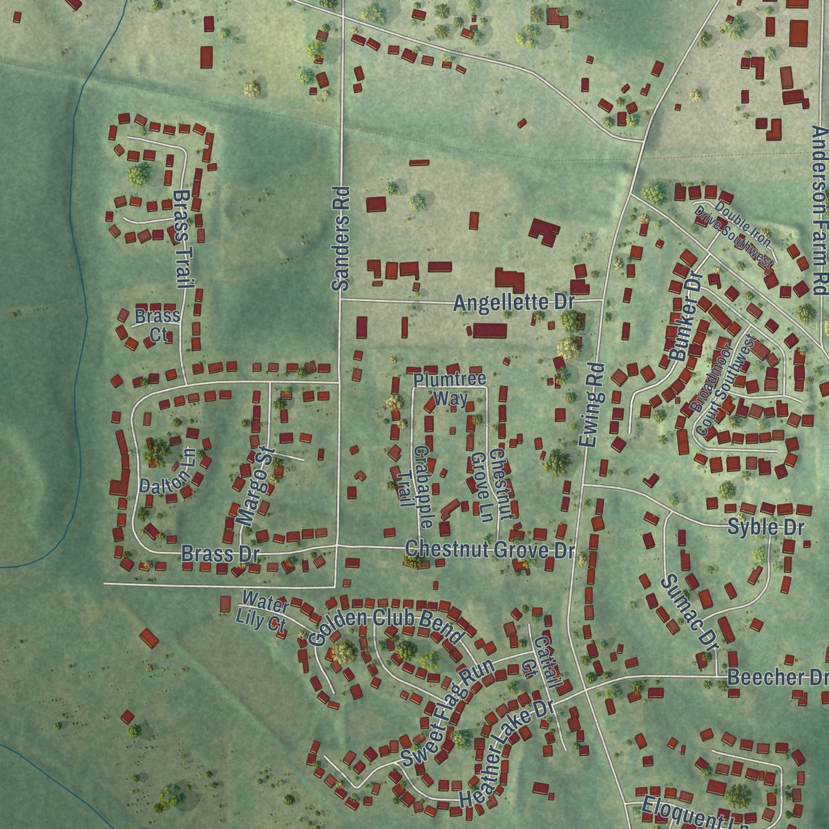
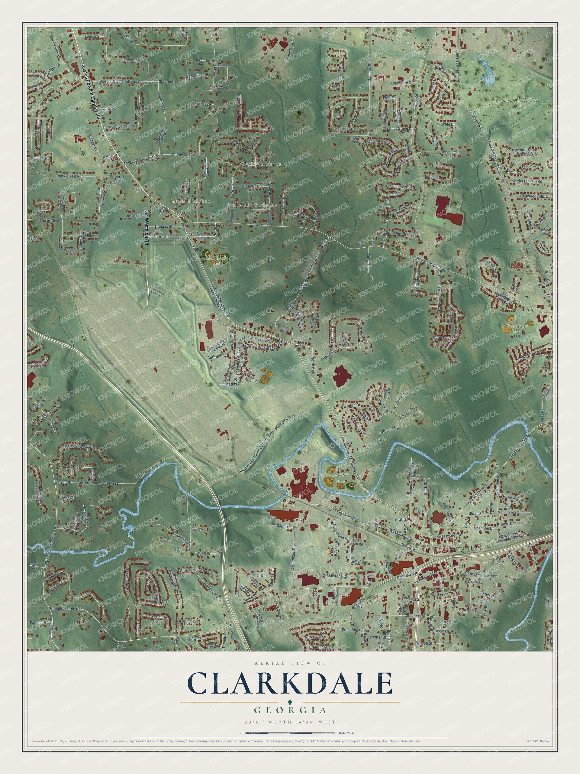
Explore Clarkdale, Georgia from a whole new perspective. Created using aerial imagery and detailed geographic data, this map captures Clarkdale building by building, with labeled streets, familiar landmarks, and shaded topographical relief that highlights the natural contours of the landscape.
Combining modern data with the timeless character of a vintage atlas, this map is just as interesting up close as it is beautiful on the wall. Whether you grew up in Clarkdale, spent memorable years there, or call it home today, this unique map is a great way to celebrate a place that means something to you. Zoom in on the preview to look for your street, and then order a print to put your memories on the wall.
Three ways to hang it
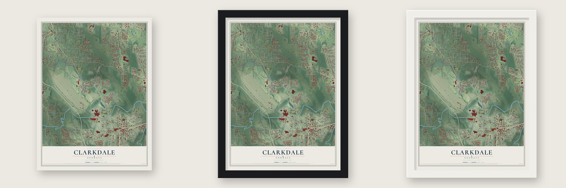
Unframed archival matte, a black wood frame or a white wood frame.
Up close
Geography Worth Displaying
This map was created using accurate cartographic data and authoritative geographic sources, including the U.S. Geological Survey and the Census Bureau. The map brings together terrain, waterways, roads, and building detail. The majority of the streets are labeled, houses are accurately depicted, and the topography is derived from government sources. Combining local data with carefully composed color and shading leads to this beautifully detailed Clarkdale artwork for your wall.
Rather than simply showing street outlines, we’ve included as many of the street names as we could reasonably fit on the map while keeping their names legible. Zoom in on the high resolution preview to see exactly what’s on the map. We truly set out to create a statement piece for anyone who loves Clarkdale. So whether it’s for you, or a gift for someone you love, we hope this map of Clarkdale brings back fond memories.
Read the story behind this map: Detailed Map of Clarkdale, Georgia.
Find your street
Names on the Clarkdale map
Every name below is printed on this map. Look for your street, your school, the park where you played, or the pond down the road.
Places and landmarks9
- Austell City Hall
- Clarkdale Park
- Legion Park
- Sweetwater Park
- Wesley Station
- James Heights
- Hillsdale Heights
- Austell
- Dogwood Golf Club
Streets and roads284
- Austell Powder Springs Road
- Old Westside Road
- Powder Springs Road
- Humphries Hill Road
- Hiram Lithia Springs Road
- Oak Street
- Pine Street
- Newark Avenue
- Pratt Street
- Lee Road
- Fessenden Avenue
- Sweetwater Valley Road
- Oglesby Road
- Old Marietta Road
- McKay Road
- McKay Road Southwest
- Perkerson Mill Road
- Park Circle
- Joe Jenkins Boulevard
- Sanders Road
- Clay Road
- Flint Hill Road
- Clay Road Southwest
- Joe Jerkins Boulevard
- Ewing Road
- Washington Street
- Sharon Drive
- Frank Aiken Road
- Westside Road
- Garrett Road
Show all 284 streets
- Carter Road
- Jefferson Street
- Doctor Luke Glenn Garrett Junior Memorial Highway
- Mulberry Street
- Mosely Road Southwest
- Mosley Road
- Doss Circle
- Tate Drive
- Water Oaks Drive
- Brookfield Drive
- Nature Trail
- Lindley Circle
- Miller Road
- Love Street
- Garrett Road Southwest
- Wesley Drive
- Servicemans Alley Southwest
- Doe Run Drive
- Spring Street
- Park Avenue
- Sweetwater Street
- Wesley Way
- Broad Street
- Stovall Road
- Garrett Springs Drive
- Bloomfield Avenue
- Cemetery Street
- Newnan Circle
- Walton Way
- Old Austell Road
- Sharon Drive Southwest
- Hyacinth Drive
- Rolly Street
- Wellington Way
- Stanley Drive
- Bowden Street
- Anderson Farm Road
- North Avenue
- Harris Lane
- Brass Drive
- Owens Drive
- Cureton Drive
- Rugosa Way
- Akins Ridge Lane
- Brooks Drive
- John Street
- Brass Trail
- Davis Circle
- Eloquent Lane
- Hutcheson Drive
- Sweet Flag Run
- Beecher Drive
- Shannon Drive
- Springbrook Drive
- Edith Street
- Anderson Mill Road
- Heather Lake Drive
- Angellette Drive
- Camellia Trail
- Golden Club Bend
- Jones Road
- Dogwood Hills Court
- Wales Drive
- Flint Hill Road Southwest
- Chestnut Grove Drive
- Perry Pointe
- Syble Drive
- Center Street
- Grady Grier Drive
- Moore Street
- Hydrangea Lane
- Glory Drive
- Goodwin Road
- Industry Road
- Bunker Drive
- Ballew Drive
- Northview Drive
- Sloan Street
- Wiegelia Drive
- Thomas Street
- Bagley Lane
- Wilson Street
- Furr Avenue
- Hotel Street
- Mitchell Lane
- Patricia Road
- Austell Avenue
- Mathis Drive
- Lillie Street
- Smith Drive
- Water Valley Road
- Sumac Drive
- Ceylon Drive
- Margo Street
- Louise Street
- Ben Boulevard
- Betula Drive
- Still Place
- Brightmore Drive
- South Avenue
- Dugger Drive
- Parks Drive
- Hyacinth Lane
- Rosehill Street
- Cousins Street
- Geralding Road
- Slate Drive
- Bill Mark Avenue
- Carol Way
- Bothwell Street
- Dahlonega Trail
- Light Way
- Millstone Court
- Payne Drive
- Grandeur Drive
- Fawn Drive
- Charles Lane
- Falcon Drive
- Weldon Drive
- Railroad Avenue
- Franklin Street
- Peco Lane
- Walker Street
- Temple Street
- Eastside Drive
- Cochran Street
- Churchill Court
- Egret Lane
- Jocks Lane
- North Drive
- Gore Place
- Shire Court
- Hiram Court
- Vine Street
- State Court
- Austell Powder Springs Road Southwest
- North Sweetwater Road
- Westview Street
- Caraustar Place Southwest
- Lynne Road
- Landers Street
- Lake Lane Southwest
- Carter Road Southwest
- Oglesby Road Southwest
- Doss Circle Southwest
- Plumtree Way
- Brown Street
- Mosley Chase Court
- Lynne Road Southwest
- Bloomfield Avenue Southwest
- Walton Way Southwest
- Stanley Drive Southwest
- Madison Point Circle
- Greenside Court Southwest
- Rock Quarry Road
- Doe Run Drive Southwest
- Bonny Glen Circle
- Sweetsprings Terrace Southwest
- Cypress Club Trail Southwest
- Akins Ridge Court
- Wingfield Drive Southwest
- Pine Grove Drive
- Rockhill Street
- Greenside Drive Southwest
- Eugenia Place
- Style Street Southwest
- Ethans Cove Drive
- Washington Street Extended
- Filter Plant Road
- Causey Chapel Circle
- Pontiac Circle
- Medlock Avenue
- Chestnut Grove Lane
- Ivy Cottage Lane
- Scott Drive
- Joe Street
- Garrett Knolls
- Morningside Drive
- Crabapple Trail
- Perk Street
- Braswell Road
- Windy Lane
- Kensington Court
- Nelda Drive
- Waterford Lane
- Stonebrook Lane
- Raspberry Way
- Deer Brook Trail
- Brittany Drive
- Brass Court
- Hovers Road
- Winter Nest Drive
- Humphries Street
- Parkside Drive
- Pentry Road
- Clark Street
- Springoak Lane
- Abney Drive
- Joyce Street
- Betty Street
- Mosely Chase Court
- Sullivan Road
- James Street
- Mary Street
- Newnan Court
- Pavia Circle
- Water Lily Court
- Perk Way
- Cattail Court
- Jackie Lane
- Railroad Street
- Dalton Lane
- Jody Circle
- Grace Street
- Sherrel Court
- Virginia Drive
- Ceylon Court
- Shadix Drive
- Tate Place
- Doris Street
- Newark Avenue Southwest
- Servicemans Alley
- Broadmoor Court Southwest
- Lakeview Court
- Springbrook Lane
- Perkerson Drive
- Sharon Woods Drive
- Mistymorn Way
- Victoria Lane
- Causey Chapel Road
- Mosely Chase Way Southwest
- Old Thompson Road
- Gladiola Way
- Scuppernong Court
- Geraldine Street
- Tupelo Drive
- Boynton Road
- Harris Lane Southwest
- Jones Road Southwest
- Moore Road Southwest
- Wesley Drive Southwest
- Calebs Way
- Sherwood Drive
- Marksman Trail
- Mary Lane Southwest
- Double Iron Drive Southwest
- Flintlock Place
- Westside Road Southwest
- Mistymorn Lane
- Joe Street Southwest
- Five Oaks Court
- Weslan Drive
- Causey Road
- Valley Lane
Names are listed as they appear on the printed map. Zoom into the product photos to find them.
The art of mapping a place
How This Map Was Made
Real places. Remarkable detail. Discover the layers that turn geographic data into a map of home.

The view from above
Aerial imagery reveals the character of the land: woodland, open fields, and the patterns of a place.

The shape of the land
Elevation data brings hills, valleys, and subtle changes in the landscape into view.

The details of home
Roads, waterways, and building footprints come together to make the map feel unmistakably local.

Geography becomes art
Considered color, shading, and typography bring the layers together in a map made for your wall.


Process illustrated with Mendon, Massachusetts. Aerial imagery: USDA NAIP. Terrain: USGS 3D Elevation Program. Map details and finished artwork: KNOWOL.
The Details
About This Print
Choose an archival matte print, or a black or white Ayous wood frame. The archival matte print is unframed.
Select your size and finish above to see the matching product image and price.
Materials & Craftsmanship
A contemporary map with the character of a classic atlas, printed on archival matte paper. Optional frames are made from Ayous wood.
Your printed map does not include the watermark shown in the full-map preview.
Shipping & Delivery
Free shipping within the United States. Every print is made to order in the USA.
Buying a gift? Add a note in your cart and we'll include it. We never put prices in the package.
Prints ship within 2 to 3 business days. Allow 7 to 10 days total from ordering for delivery. Timing may vary during holidays or periods of high order volume.
Read our shipping policy.
Returns and damaged prints
Each print is made to order. Change-of-mind refunds are not available after production.
If your print arrives damaged, misprinted or incorrect, contact support@knowol.com within 30 days of receiving it. Include your order number, photos and a description of the issue.
Read our full refund and replacement policy. For questions about your order, email support@knowol.com.
Find your town
Looking for another city?
Find a map of home in our Georgia collection, or any town in the country.
Nearby
Maps of towns near Clarkdale
Know someone from one of these towns? Their map makes a great gift.
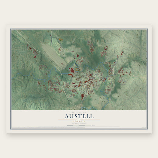 Austell
, Georgia
From $39.99See the map
 Powder Springs
, Georgia
From $39.99See the map
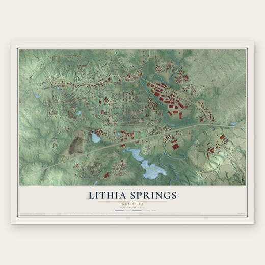 Lithia Springs
, Georgia
From $39.99See the map
More maps nearby: Mableton, Beulah, Milford, Chestnut Log and Hiram.