
Search for another town


Free U.S. delivery 7 to 10 days after you order
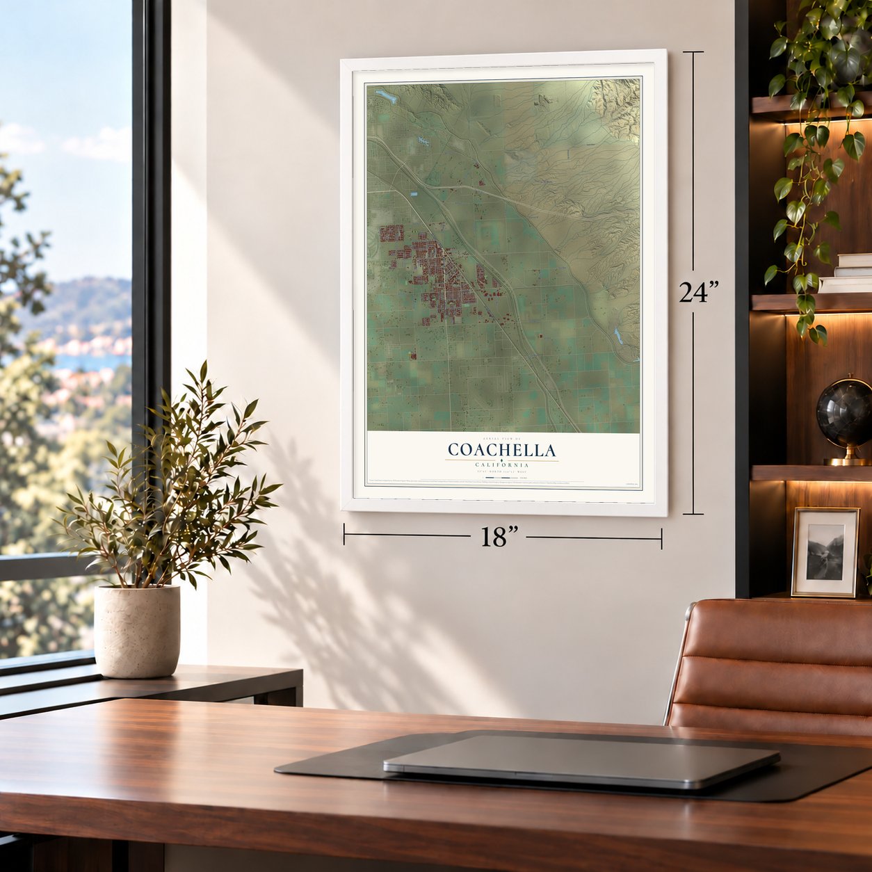
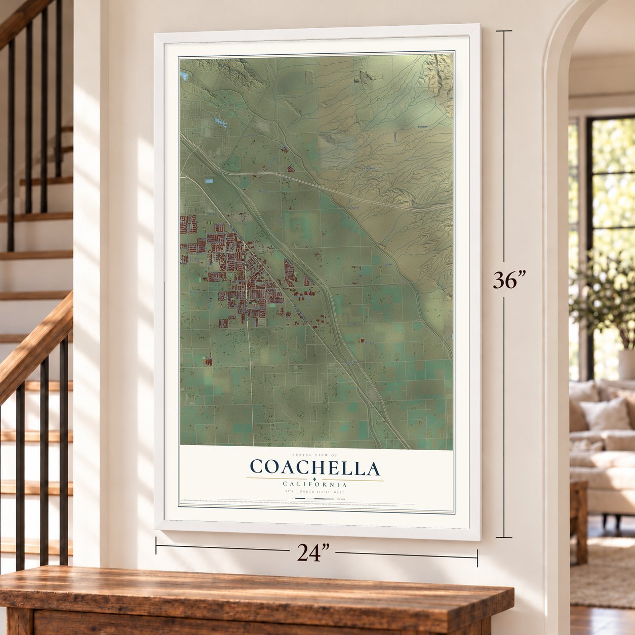
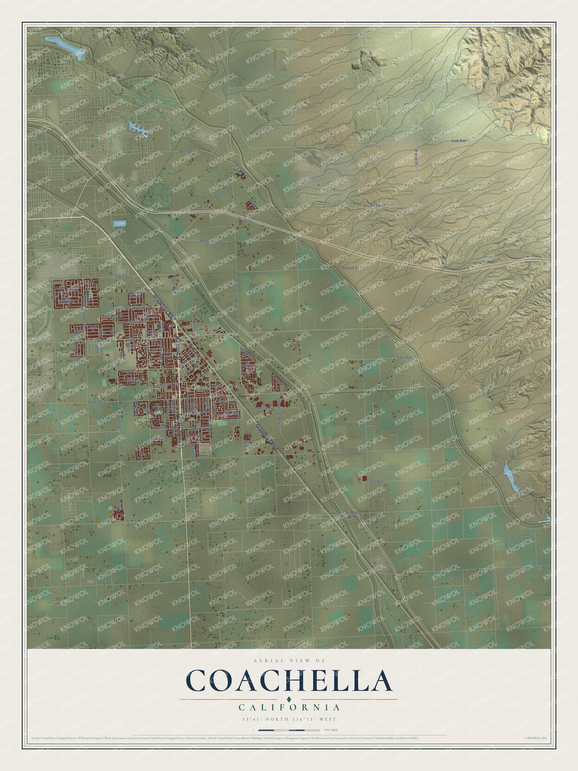
Coachella, California Map Art
Building by building, with labeled streets and shaded relief.
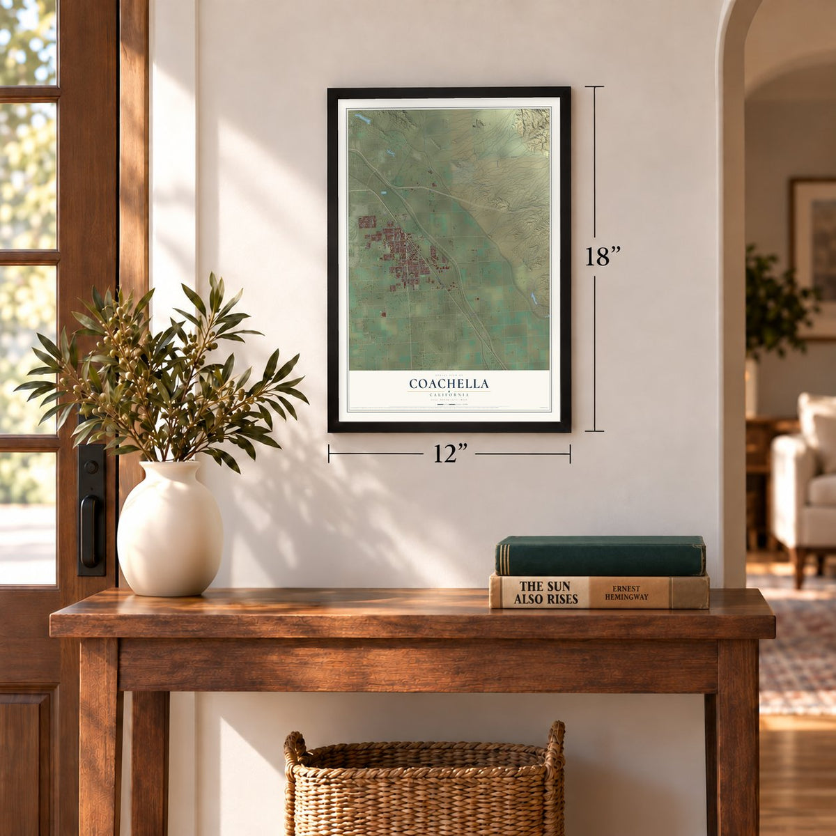
12" x 18" Archival Matte Print
A Map of Home. A Work of Art.
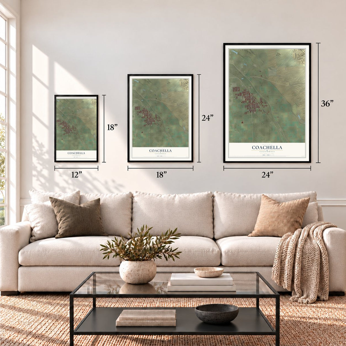
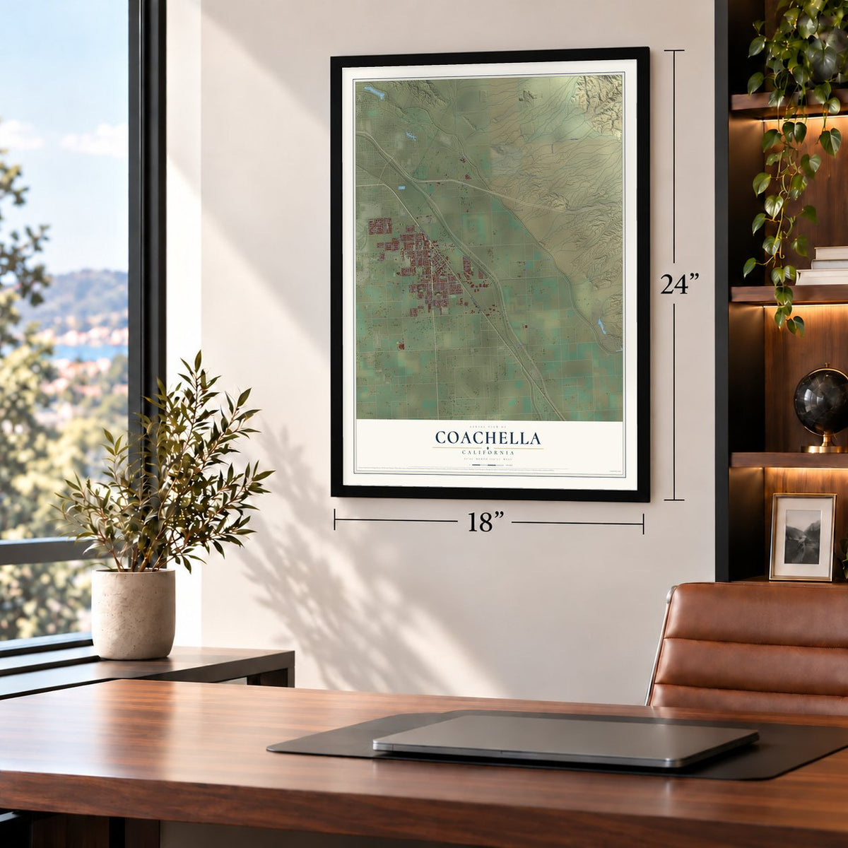
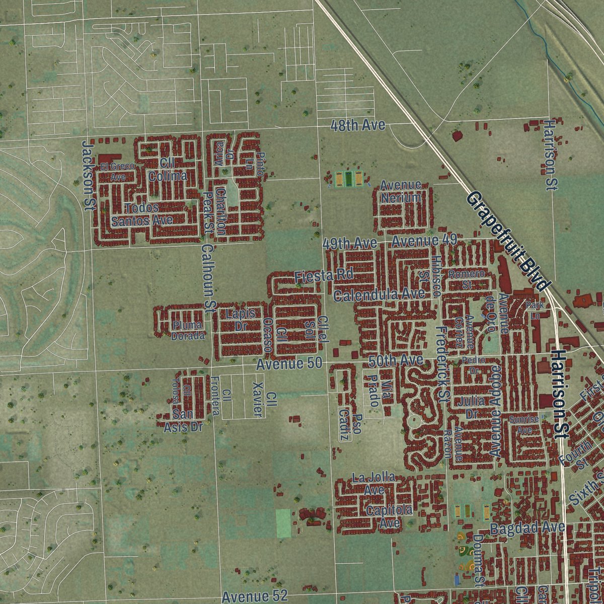
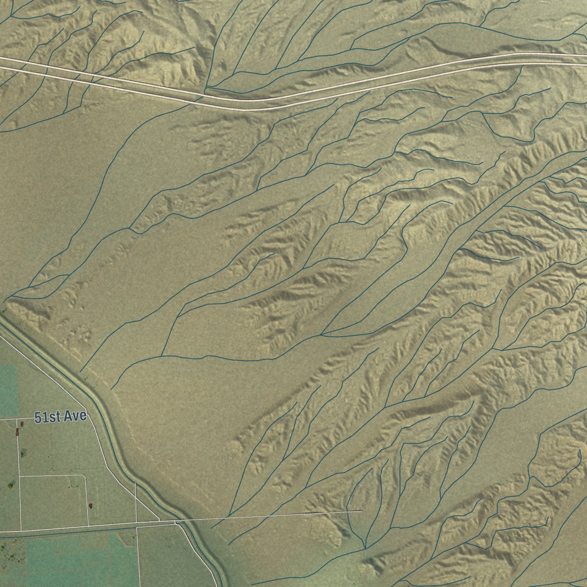
Explore Coachella, California from a whole new perspective. Created using aerial imagery and detailed geographic data, this map captures Coachella building by building, with labeled streets, familiar landmarks, and shaded topographical relief that highlights the natural contours of the landscape.
Combining modern data with the timeless character of a vintage atlas, this map is just as interesting up close as it is beautiful on the wall. Whether you grew up in Coachella, spent memorable years there, or call it home today, this unique map is a great way to celebrate a place that means something to you. Zoom in on the preview to look for your street, and then order a print to put your memories on the wall.
Three ways to hang it
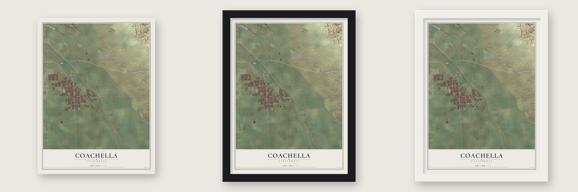
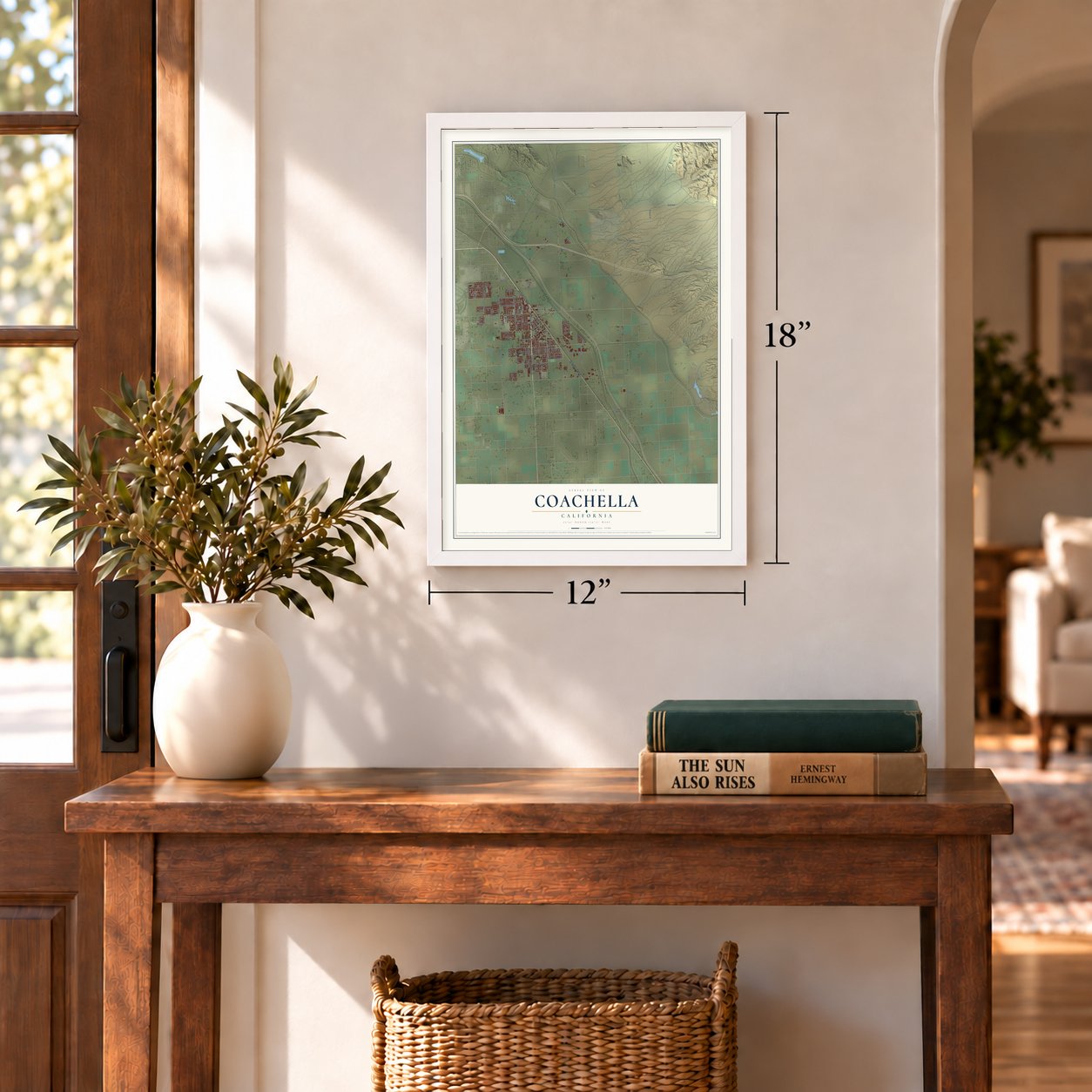
Unframed archival matte, a black wood frame or a white wood frame.
Up close
Geography Worth Displaying
This map was created using accurate cartographic data and authoritative geographic sources, including the U.S. Geological Survey and the Census Bureau. The map brings together terrain, waterways, roads, and building detail. The majority of the streets are labeled, houses are accurately depicted, and the topography is derived from government sources. Combining local data with carefully composed color and shading leads to this beautifully detailed Coachella artwork for your wall.
Rather than simply showing street outlines, we’ve included as many of the street names as we could reasonably fit on the map while keeping their names legible. Zoom in on the high resolution preview to see exactly what’s on the map. We truly set out to create a statement piece for anyone who loves Coachella. So whether it’s for you, or a gift for someone you love, we hope this map of Coachella brings back fond memories.
Read the story behind this map of Coachella, California from 2026.
Find your street
Names on the Coachella map
Every name below is printed on this map. Look for your street, your school, the park where you played, or the pond down the road.
Streets and roads108
- Cesar Chavez Street
- Grapefruit Boulevard
- Harrison Street
- Avenue 50
- Airport Boulevard
- 52nd Avenue
- Avenue 52
- 50th Avenue
- Vis del Norte
- 54th Avenue
- Tyler Street
- Fillmore Street
- Avenue 48
- Van Buren Street
- Polk Street
- Frederick Street
- Dillon Road
- 44th Avenue
- Avenue 47
- Pierce Street
- Avenue 53
- Calhoun Street
- Avenue 49
- 55th Avenue
- Enterprise Way
- Shady Lane
- Avenue 44
- Vis del Sur
- Bagdad Avenue
- Cll Empalme
Show all 108 streets
- 51st Avenue
- 49th Avenue
- Cll Avila
- Genoa Street
- 48th Avenue
- Tripoli Way
- Orchard Avenue
- Cll Techa
- Cairo Street
- Sixth Street
- Cll Najera
- Jackson Street
- Valley Road
- Avenue Adobe
- Fiesta Road
- Calendula Avenue
- Ninth Street
- Slate Drive
- Primitivo Drive
- Charlton Peak Street
- Industrial Way
- Cll Camacho
- Cll Rojo
- Fourth Street
- Avenue Grace
- Hernandez Street
- Todos Santos Avenue
- Cll Mendoza
- Avenue de Oro
- Cypress Street
- Capitola Avenue
- Cll Diego
- Oates Lane
- Via Prado
- Arrowood Avenue
- First Street
- Douma Street
- Cll Balderas
- Hibisco Street
- Cll la Paz
- Cll Colima
- Avenue Nerium
- Cll Bonita
- Cll el Sol
- La Jolla Avenue
- Allende Drive
- Cll Ocaso
- Pso Cadiz
- San Asis Drive
- Cll Xavier
- Julia Drive
- Lapis Drive
- Tyler Lane
- Palmeras Circle
- Nelson Avenue
- Avenue Maria
- Avenue Cortez
- Cll Frontera
- Meritage Lane
- Romero Street
- Campus Drive
- Avenue Razon
- Sylmar Lane
- Pluma Dorada
- Arica Drive
- Pinto Lane
- Date Avenue
- Third Street
- Bellissima Avenue
- Michelle Drive
- Cll Bouganvilia
- Cll Tolosa
- El Greco Avenue
- Hope Place
- Pedro Drive
- Sunrise Avenue
- Park Lane
- Lee Lane
Names are listed as they appear on the printed map. Zoom into the product photos to find them.
About Coachella, California
Coachella is a city of 41,941 people in Riverside County, at the eastern end of the valley that carries its name. It began in 1876 as Woodspur, a siding the Southern Pacific Railroad built so crews could cut mesquite wood, first for the railroad and later for buyers in Los Angeles. Jason L. Rector, who worked for Southern Pacific, is the first non-Native resident on record.
Water turned the siding into a town. In 1900 Rector and his brother drilled the town's first artesian well, and that same year they cleared 25 acres and planted barley, wheat, cantaloupes, watermelons and sugar beets. Hundreds of farmers followed them, because the valley could bring in crops earlier than other parts of the Southwest. By 1902 more than 100 artesian wells had been drilled, and Coachella became a city in 1946.
“the land proved wonderfully fertile, and all of the crops did well, coming to maturity in a phenomenally short time.”
- Renamed in 1901At a town hall meeting in 1901, the people of Woodspur voted to call their town Coachella. A 1922 county history says the name was meant to be Conchella, for place of shells, until a printer spelled it Coachella and nobody ever changed it back.
- The valley's first boxcar of fruitBy 1902 Rector had formed a growers' group, the Coachella Valley Produce Association, and it sent out the first boxcar of fruit raised here. A packing house went up in town, and soon after it an ice and pre-cooling plant. Rector was the only owner of the Coachella Valley Refrigerating Company.
- Hands from many placesThe first growers hired Cahuilla workers, then recruited farmworkers from Japan. Next came Mexican families escaping the Cristero Rebellion of the 1920s and the revolution that broke out in 1910. Many were forced out in the Great Depression, and Japanese families were interned in World War II, while the Bracero Program brought thousands of Mexican farmworkers back. Many of the interned families came home to the valley afterward.
- Table grapes and the UFWThe Coachella Valley was a key battleground for the United Farm Workers. In 1970 David Freedman & Co. broke ranks with the other grape growers and signed with the union, its first contract with a table grape grower, and the rest of the industry soon did the same.
- Three fiestas a yearCoachella celebrates Cinco de Mayo and the 16 de Septiembre Fiestas Patrias, which honor Mexican independence from Spain. On 12 de Diciembre it keeps the feast of Santa Maria de Guadalupe, Mexico's patron saint.
Keep exploring California
Coachella is one of 1,990 California towns we've mapped. Every dot on the map is a print of its own.
The search covers every state, California first.
Near Coachella
Order 2 or more town maps and save 10%. Shown in the size and finish you picked above, so they hang as a set.
- Thermal 12" x 18" / Archival Matte Print $39.99
- Indio 12" x 18" / Archival Matte Print $39.99
- Vista Santa Rosa 12" x 18" / Archival Matte Print $39.99
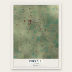
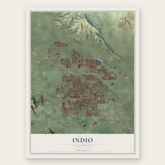

More maps nearby: La Quinta, Bermuda Dunes, Mecca, Indian Wells and Desert Palms.
The art of mapping a place
How This Map Was Made
Real places. Remarkable detail. Discover the layers that turn geographic data into a map of home.

The view from above
Aerial imagery reveals the character of the land: woodland, open fields, and the patterns of a place.

The shape of the land
Elevation data brings hills, valleys, and subtle changes in the landscape into view.

The details of home
Roads, waterways, and building footprints come together to make the map feel unmistakably local.

Geography becomes art
Considered color, shading, and typography bring the layers together in a map made for your wall.


Process illustrated with Mendon, Massachusetts. Aerial imagery: USDA NAIP. Terrain: USGS 3D Elevation Program. Map details and finished artwork: KNOWOL.
The Details
About This Print
Choose an archival matte print, or a black or white Ayous wood frame. The archival matte print is unframed.
Select your size and finish above to see the matching product image and price.
Materials & Craftsmanship
A contemporary map with the character of a classic atlas, printed on archival matte paper. Optional frames are made from Ayous wood.
Your printed map does not include the watermark shown in the full-map preview.
Shipping & Delivery
Free shipping within the United States. Every print is made to order in the USA.
Buying a gift? Add a note in your cart and we'll include it. We never put prices in the package.
Prints ship within 2 to 3 business days. Allow 7 to 10 days total from ordering for delivery. Timing may vary during holidays or periods of high order volume.
Read our shipping policy.
Returns and damaged prints
Each print is made to order. Change-of-mind refunds are not available after production.
If your print arrives damaged, misprinted or incorrect, contact support@knowol.com within 30 days of receiving it. Include your order number, photos and a description of the issue.
Read our full refund and replacement policy. For questions about your order, email support@knowol.com.