
Search for another town
Free U.S. delivery 7 to 10 days after you order
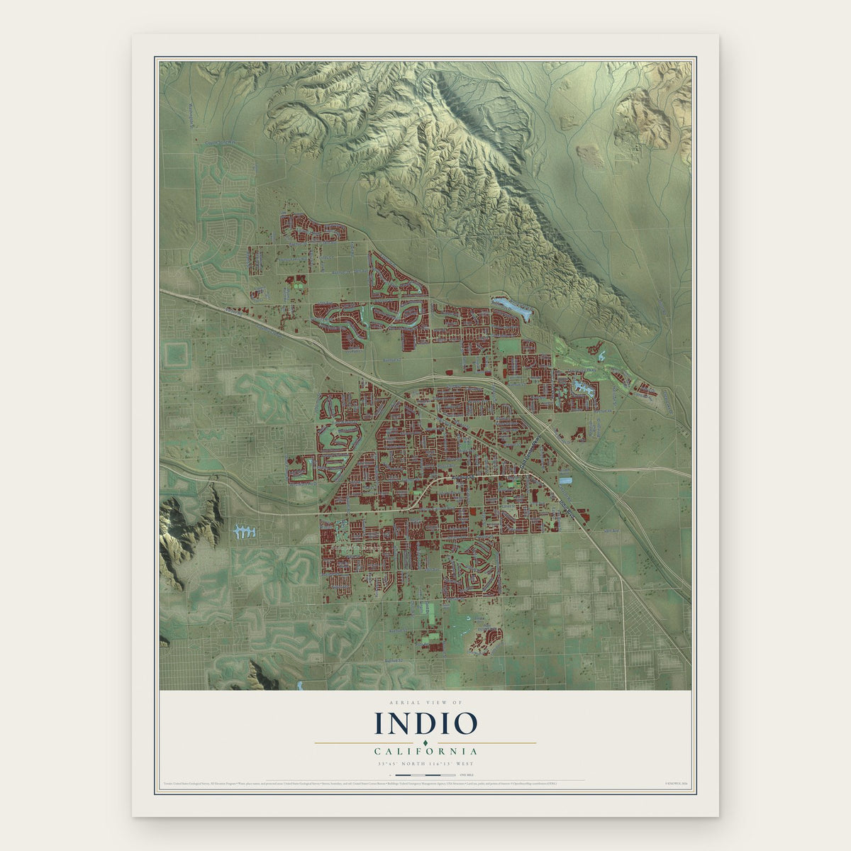
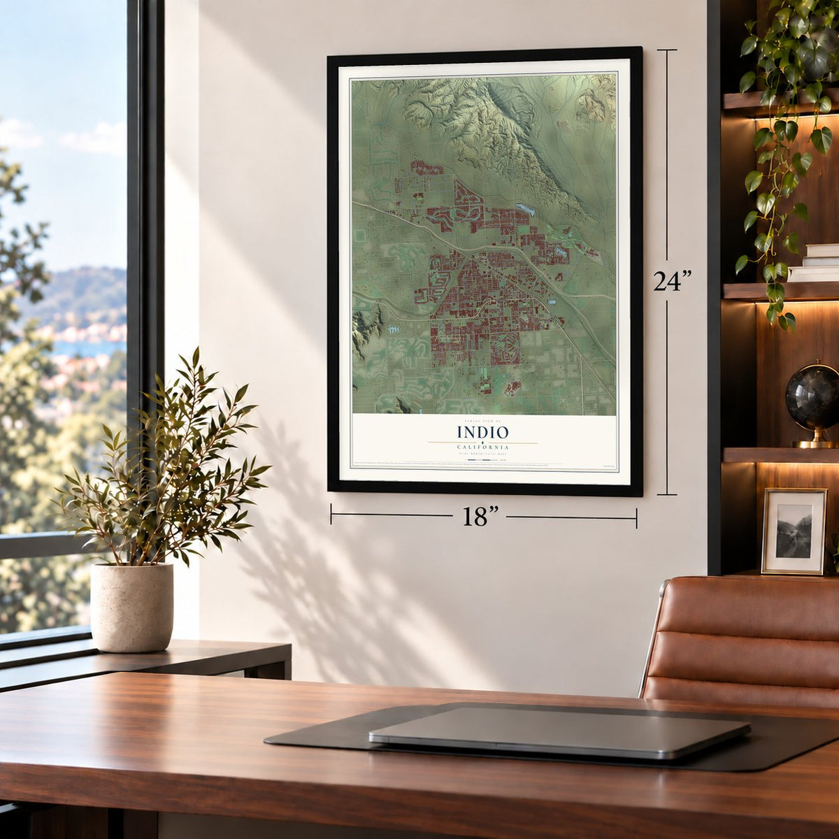
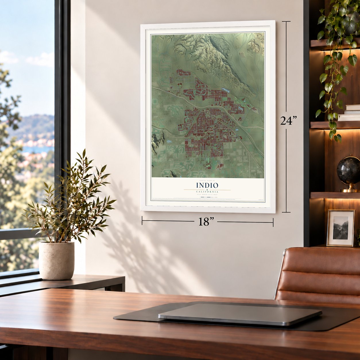
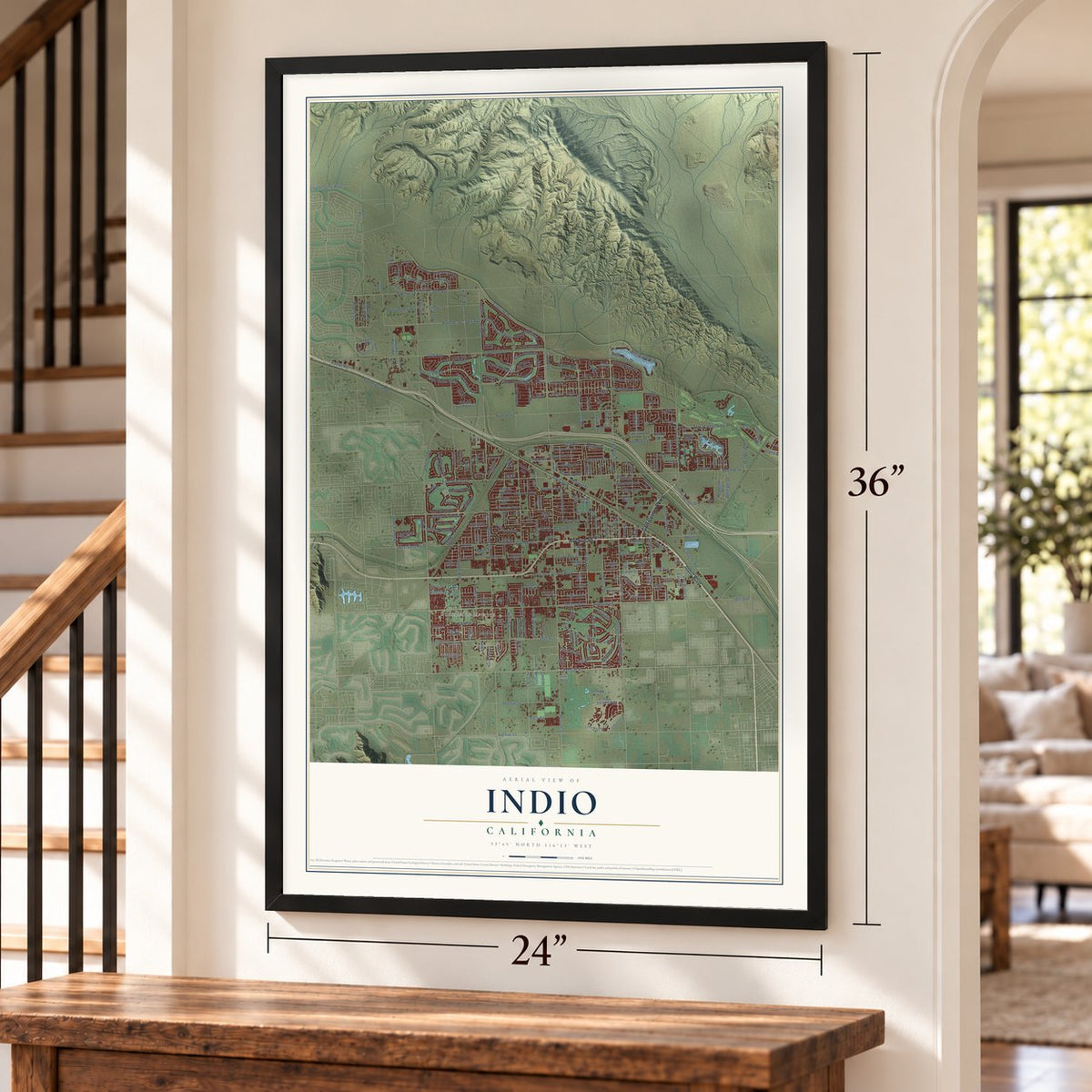
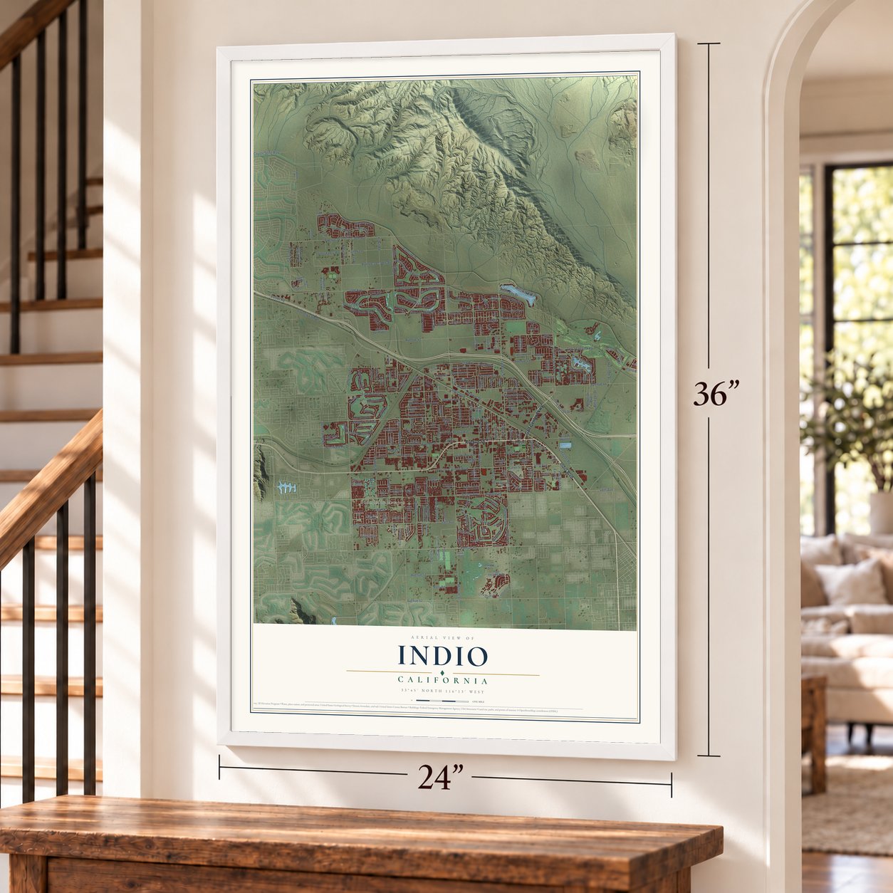
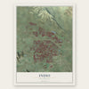
Indio, California Map Art
Building by building, with labeled streets and shaded relief.
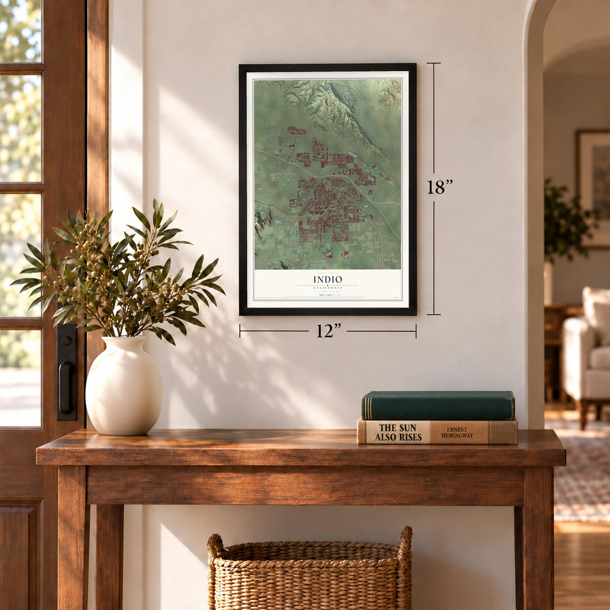
12" x 18" Archival Matte Print
A Map of Home. A Work of Art.
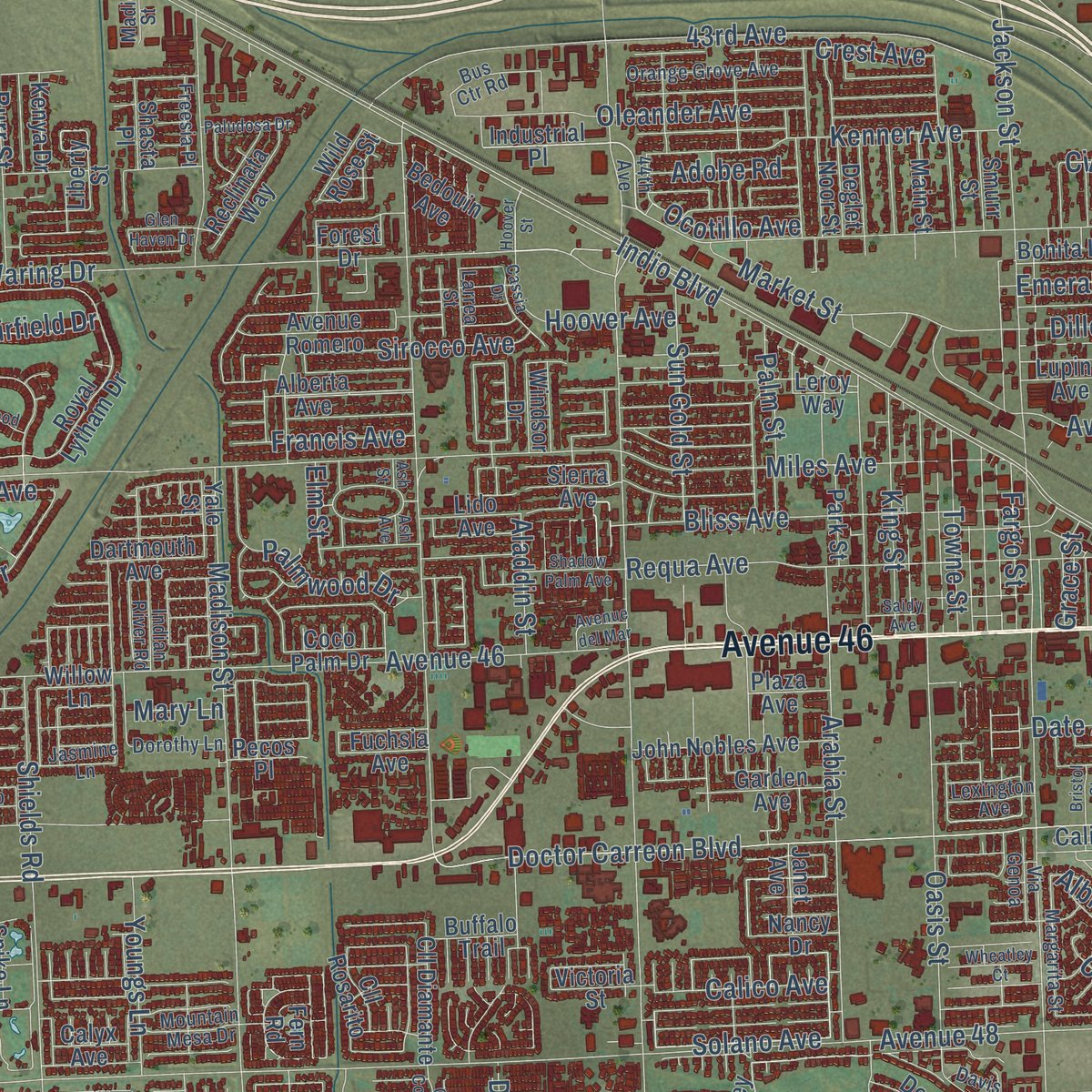
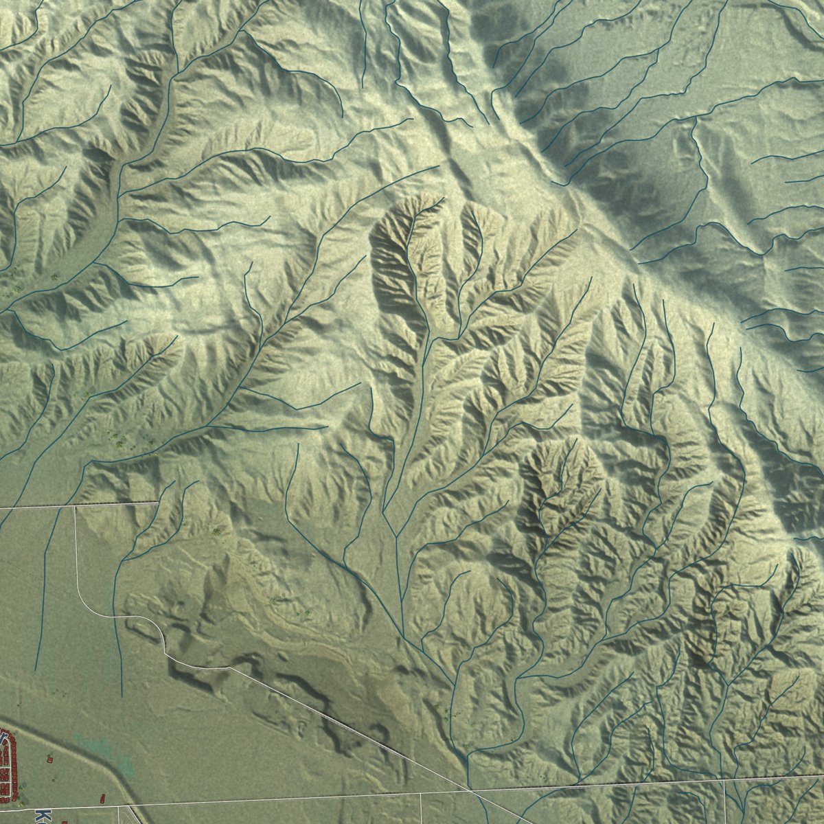
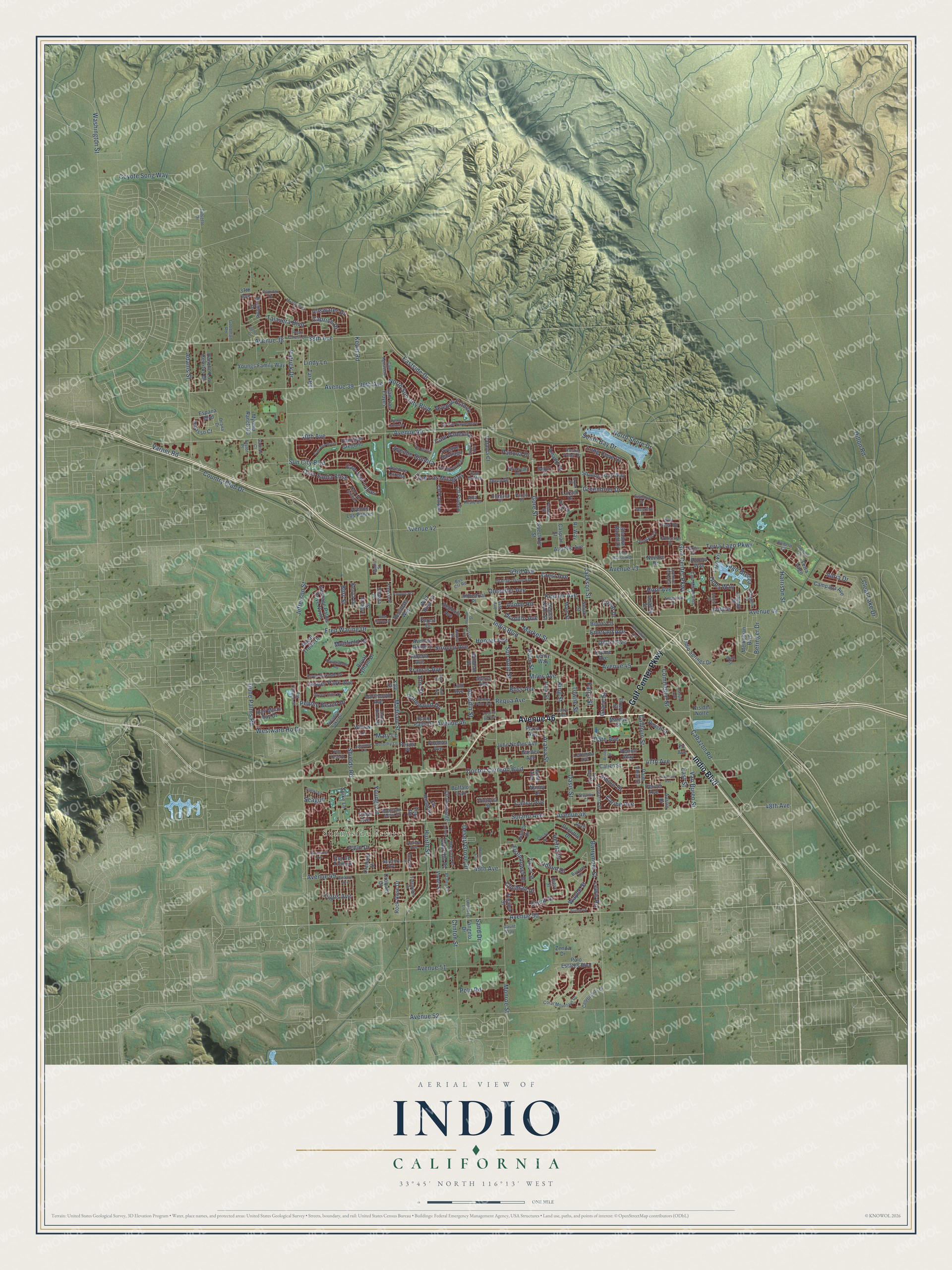
Explore Indio, California from a whole new perspective. Created using aerial imagery and detailed geographic data, this map captures Indio building by building, with labeled streets, familiar landmarks, and shaded topographical relief that highlights the natural contours of the landscape.
Combining modern data with the timeless character of a vintage atlas, this map is just as interesting up close as it is beautiful on the wall. Whether you grew up in Indio, spent memorable years there, or call it home today, this unique map is a great way to celebrate a place that means something to you. Zoom in on the preview to look for your street, and then order a print to put your memories on the wall.
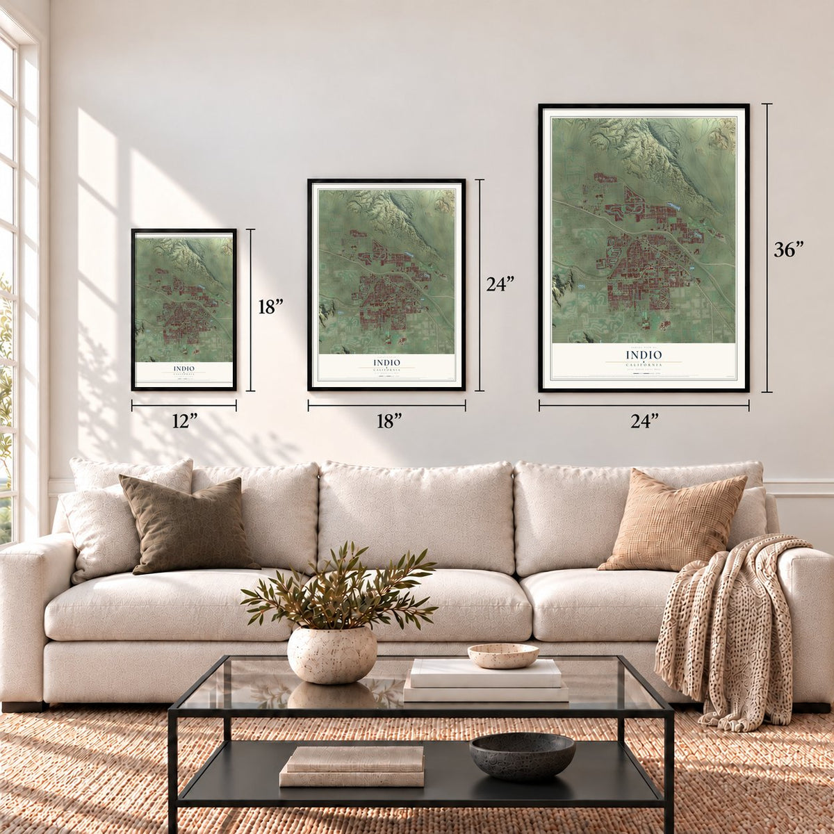
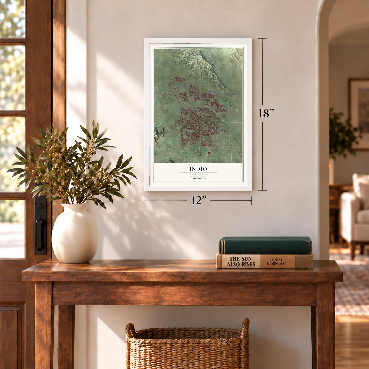
Three ways to hang it
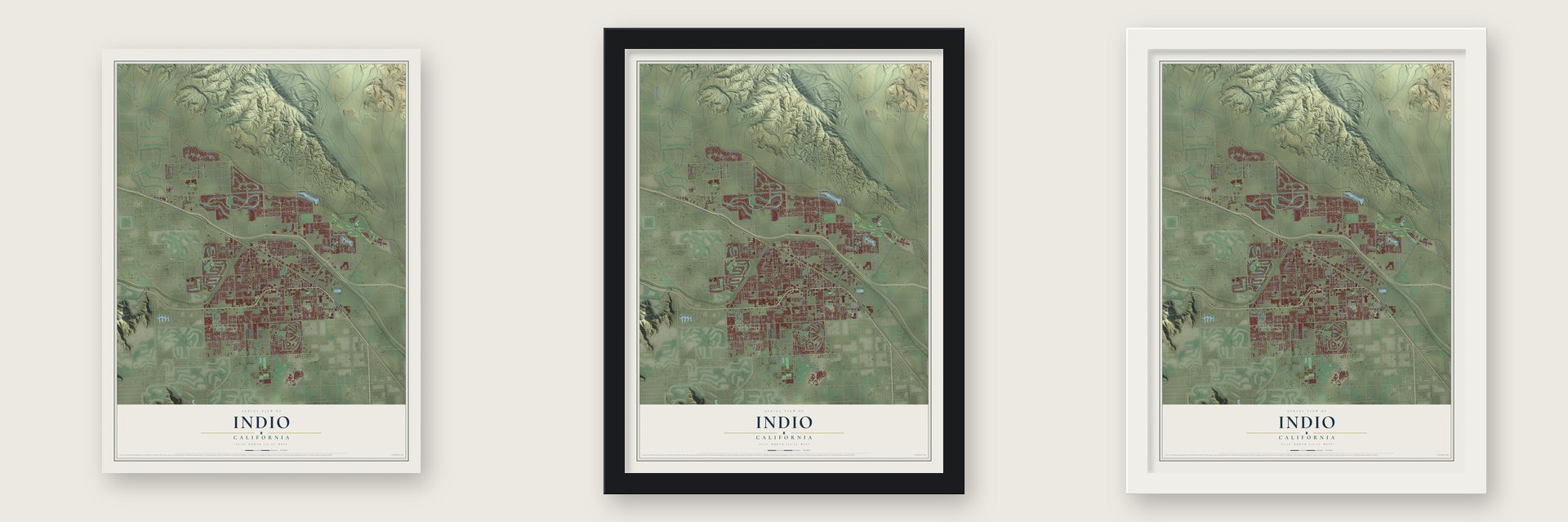
Unframed archival matte, a black wood frame or a white wood frame.
Up close
Geography Worth Displaying
This map was created using accurate cartographic data and authoritative geographic sources, including the U.S. Geological Survey and the Census Bureau. The map brings together terrain, waterways, roads, and building detail. The majority of the streets are labeled, houses are accurately depicted, and the topography is derived from government sources. Combining local data with carefully composed color and shading leads to this beautifully detailed Indio artwork for your wall.
Rather than simply showing street outlines, we’ve included as many of the street names as we could reasonably fit on the map while keeping their names legible. Zoom in on the high resolution preview to see exactly what’s on the map. We truly set out to create a statement piece for anyone who loves Indio. So whether it’s for you, or a gift for someone you love, we hope this map of Indio brings back fond memories.
Read the story behind this map of Indio, California from 2026.
Find your street
Names on the Indio map
Every name below is printed on this map. Look for your street, your school, the park where you played, or the pond down the road.
Places and landmarks1
- Sunnyside Estates
Streets and roads319
- Avenue 46
- Indio Boulevard
- Golf Center Parkway
- Avenue 50
- Odlum Drive
- Kenner Avenue
- Grant Drive
- Greenbrier Drive
- Solano Avenue
- Long Cove Drive
- Monroe Street
- Jackson Street
- Madison Street
- Jefferson Street
- Avenue 48
- 40th Avenue
- Avenue 42
- Avenue 40
- Avenue 44
- Dillon Road
- Miles Avenue
- 38th Avenue
- Clinton Street
- Sun City Boulevard
- Country Club Drive
- 47th Avenue
- Doctor Carreon Boulevard
- Burr Street
- Varner Road
- Avenue 49
Show all 319 streets
- Arabia Street
- Avenue 38
- Fred Waring Drive
- Avenue 52
- Oasis Street
- Adams Street
- 39th Avenue
- Terra Lago Parkway
- Avenue 39
- 43rd Avenue
- Avenue Sombra
- Calhoun Street
- Avenue 45
- Avenue 43
- Eastside Drive
- Towne Street
- Requa Avenue
- Dune Palms Road
- Shields Road
- Talavera Boulevard
- Palm Drive
- Oleander Avenue
- North Shore Drive
- Van Buren Street
- Bliss Avenue
- Kevin Road
- Hjorth Street
- Cam Santa Elise
- Avenue 51
- Cabazon Road
- King Street
- South Bay Drive
- Coyote Song Way
- Westward Ho Drive
- North Sun City Boulevard
- Lindy Lane
- Market Street
- Cam Los Milagros
- Date Avenue
- Cam San Lucas
- Palmwood Drive
- Crest Avenue
- Harrison Street
- Barrymore Street
- Washington Street
- Gore Street
- Heifitz Drive
- Sun Gold Street
- 48th Avenue
- Avenue Estuco
- Sirocco Avenue
- Dillon Avenue
- Emerald Avenue
- 49th Avenue
- Ullswater Drive
- Jasper Park Avenue
- Cochran Drive
- Eisenhower Drive
- Hoover Avenue
- Clear Lake Drive
- Pebble Beach Drive
- Commerce Street
- Padova Drive
- Wayne Street
- Adria Drive
- Desert Grove Drive
- Patrick Drive
- Youngs Lane
- Albion Drive
- Palm Street
- Hopi Avenue
- Beringer Drive
- Cam Vallecita
- Francis Avenue
- Lago Brezza
- Calico Avenue
- Fargo Street
- Ocotillo Avenue
- Adobe Road
- Caribe Avenue
- Aladdin Street
- Muirfield Drive
- Caprice Drive
- Cabrillo Place
- Onda Way
- Tigris Avenue
- Lewis Road
- Grace Street
- Elm Street
- Circle Drive
- Polo Road
- Sand Drive
- Seagull
- Mary Lane
- East Street
- Volare
- Polo Estates Boulevard
- Biery Street
- Industrial Place
- Disney Drive
- Deglet Noor Street
- Lago Vis
- Alberta Avenue
- Smurr Street
- Indio Springs Drive
- Royal Troon Drive
- Sierra Avenue
- John Nobles Avenue
- Tarr Road
- Cam San Gregorio
- Rancho Los Cerritos Drive
- Youngs Family Way
- Heritage Palms Drive North
- Royal Lytham Drive
- Melkesian Boulevard
- Shadow Hills Way
- Coco Palm Drive
- Avenue Romero
- Shadow Ranch Drive
- Myoma Ranch Road
- Avenue Los Padres
- Willow Lane
- Cll Pampas
- Reclinata Way
- Cll Pueblo
- Campana Avenue
- Cll Diamante
- Rock Rose Drive
- Garden Avenue
- Bradford Drive
- Atlantic Avenue
- Cam Las Floyes
- Pacino Street
- Bedouin Avenue
- Dartmouth Avenue
- Peach Street
- España Boulevard
- Amador Drive
- Catania Court
- Doolittle Drive
- Picasso Court
- Plaza Avenue
- Caspian Street
- Spectrum Street
- Half Moon Bay Drive
- Vis del Norte
- Terra Lago
- Marilyn Street
- Lido Avenue
- Park Street
- Main Street
- Kenya Drive
- Bonita Lane
- Lupine Avenue
- Calico Street
- Tangelo Drive
- Avenue Santiago
- Avenue Lorena
- Fern Road
- Orchard Drive
- Vecino Way
- Campo Place
- Apache Street
- Violet Street
- Pso de Tiempo
- Buffalo Trail
- Shasta Place
- Nancy Drive
- Janet Avenue
- Fuchsia Avenue
- Austin Drive
- Windsor Drive
- Taylor Street
- Victoria Street
- Cll Rosarito
- Wild Rose Street
- Liberty Street
- Spike Lane
- Croquet Court
- Rv Way
- Larsen Drive
- Dunn Drive
- Pecos Place
- Denver Avenue
- Azzura Way
- Novilla Drive
- Calyx Avenue
- Yale Street
- Forest Drive
- Palm View Street
- Flower Street
- Zenda Drive
- Leroy Way
- Fir Avenue
- 37th Avenue
- 44th Avenue
- Cam Aguacero
- Citrus Avenue
- Orange Grove Avenue
- Jasmine Lane
- Coral Mountain Drive
- Royal Birkdale Drive
- County Route Valdemoro
- Big Canyon Street
- Cam Mira Monte
- Green Hills Drive
- Margarita Street
- Magellan Place
- Celebration Drive
- Meadow Lake Drive
- Camden Drive
- Olympus Drive
- Lundberg Lane
- Rustic Valley Drive
- Dorothy Lane
- Tidewater Drive
- Bus Ctr Road
- Mountain Mesa Drive
- Goodman Road
- Indian River Road
- Freesia Place
- Swinton Drive
- Stradivari Road
- Avenue Isabella
- Braley Court
- Collection Drive
- Lexington Avenue
- Yosemite Drive
- Belfort Court
- Burnett Drive
- Via Genoa
- Peak Forest Drive
- Iron Horse Road
- Highland Drive
- Spiaggia Place
- Falsetto Drive
- Wolf Creek Road
- Ocana Drive
- Larrea Street
- Galindo Court
- Cam Cantos
- Pso Tesoro
- Serenity Avenue
- Villa Reale Drive
- Bedero Court
- Pescara Street
- Aurora Avenue
- Barrett Place
- Parish Drive
- Madio Street
- Davis
- Olona Court
- Taylor Place
- Gaunt Way
- Wall Street
- Hoover Street
- Tourmaline Avenue
- Cam San Mateo
- Cam Monteviedo
- Avenue Colonias
- Cam Sevilla
- Crosby Drive
- Knightswood Road
- Shadow Palm Avenue
- Montgomery Drive
- Cam Los Campos
- Paludosa Drive
- Bolton Drive
- Anastacia Court
- Scenic Drive
- Flamingo
- Wheatley Court
- Cardinal Avenue
- Waterford Lane
- Amazon Avenue
- Barcelona Avenue
- Cam Zulema
- Doyle Street
- Cassia Drive
- Avenue del Mar
- Gordola Place
- Glen Haven Drive
- Aquila Street
- Renewal Street
- Cll Conejo
- Saidy Avenue
- Bristol Street
- Ash Avenue
- Ash Street
Names are listed as they appear on the printed map. Zoom into the product photos to find them.
About Indio, California
Indio is a city of 89,137 people in Riverside County, in the Coachella Valley, on the ancestral lands of the Desert Cahuilla Indians. Southern Pacific steam engines crossing the desert needed water at a stop halfway between Los Angeles and Yuma, so the railroad built one here, and trains first arrived on May 29, 1876. The stop was first called Indian Wells, but other places already used that name, so the railroad chose Indio, a Spanish form of the word for Indian.
The first permanent building was the Southern Pacific depot and hotel. It had a fancy dining room and Friday night dances, and it became the center of desert social life. Farmers soon found water, first in artesian wells and later in the All-American Canal, and they grew onions, cotton, grapes, citrus and dates. By 1920 Indio had one to two thousand year-round residents, and the town swelled to between 2,500 and 5,000 each winter as a health resort. It incorporated as a city in 1930, and storekeeper Fred Kohler took out its first business license on September 6 of that year.
- The Date Station, 1907The U.S. Department of Agriculture opened its Date Station in Indio in 1907. Its research taught local growers how to handle this unusual fruit and helped make the Coachella Valley a leader in American dates. The link to the Middle East shaped the theme of the Riverside County Fair and National Date Festival, and dates became part of the town's identity.
- White lines on the roadDr. June Robertson McCarroll was a successful Indio doctor and a leading philanthropist. After passing cars came close to hitting her too many times, she and the Indio Woman's Club pushed the state until California adopted white lines painted down the middle of its roads.
- A breakdown that became homeDr. Harry Smiley and his wife, Nell, were driving to Los Angeles when their car broke down in Indio. They stayed for good, and the couple became people of influence who helped shape the young desert town.
- The 1909 schoolhouseIndio's one-room schoolhouse of 1909 taught children from kindergarten through eighth grade and was then called the Indio Public School. It was the second school building put up in the area that became Indio, and a historical marker now tells its story.
- From hub to City of FestivalsIn the 1920s Thermal and Coachella were still bigger, but Indio's chamber of commerce called it the Hub of the Valley for its trade. Today it is known as the City of Festivals, home to the Coachella Valley Music and Arts Festival and the Stagecoach Festival.
Keep exploring California
Indio is one of 1,990 California towns we've mapped. Every dot on the map is a print of its own.
The search covers every state, California first.
Near Indio
Order 2 or more town maps and save 10%. Shown in the size and finish you picked above, so they hang as a set.
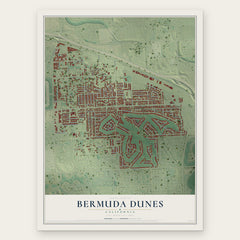
- Bermuda Dunes 12" x 18" / Archival Matte Print $39.99
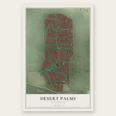
- Desert Palms 12" x 18" / Archival Matte Print $39.99
- Indian Wells 12" x 18" / Archival Matte Print $39.99

More maps nearby: Coachella, La Quinta, Palm Desert, Indio Hills and Vista Santa Rosa.
The art of mapping a place
How This Map Was Made
Real places. Remarkable detail. Discover the layers that turn geographic data into a map of home.

The view from above
Aerial imagery reveals the character of the land: woodland, open fields, and the patterns of a place.

The shape of the land
Elevation data brings hills, valleys, and subtle changes in the landscape into view.

The details of home
Roads, waterways, and building footprints come together to make the map feel unmistakably local.

Geography becomes art
Considered color, shading, and typography bring the layers together in a map made for your wall.


Process illustrated with Mendon, Massachusetts. Aerial imagery: USDA NAIP. Terrain: USGS 3D Elevation Program. Map details and finished artwork: KNOWOL.
The Details
About This Print
Choose an archival matte print, or a black or white Ayous wood frame. The archival matte print is unframed.
Select your size and finish above to see the matching product image and price.
Materials & Craftsmanship
A contemporary map with the character of a classic atlas, printed on archival matte paper. Optional frames are made from Ayous wood.
Your printed map does not include the watermark shown in the full-map preview.
Shipping & Delivery
Free shipping within the United States. Every print is made to order in the USA.
Buying a gift? Add a note in your cart and we'll include it. We never put prices in the package.
Prints ship within 2 to 3 business days. Allow 7 to 10 days total from ordering for delivery. Timing may vary during holidays or periods of high order volume.
Read our shipping policy.
Returns and damaged prints
Each print is made to order. Change-of-mind refunds are not available after production.
If your print arrives damaged, misprinted or incorrect, contact support@knowol.com within 30 days of receiving it. Include your order number, photos and a description of the issue.
Read our full refund and replacement policy. For questions about your order, email support@knowol.com.