
Search for another town





Free U.S. delivery 7 to 10 days after you order
Palm Desert, California Map Art
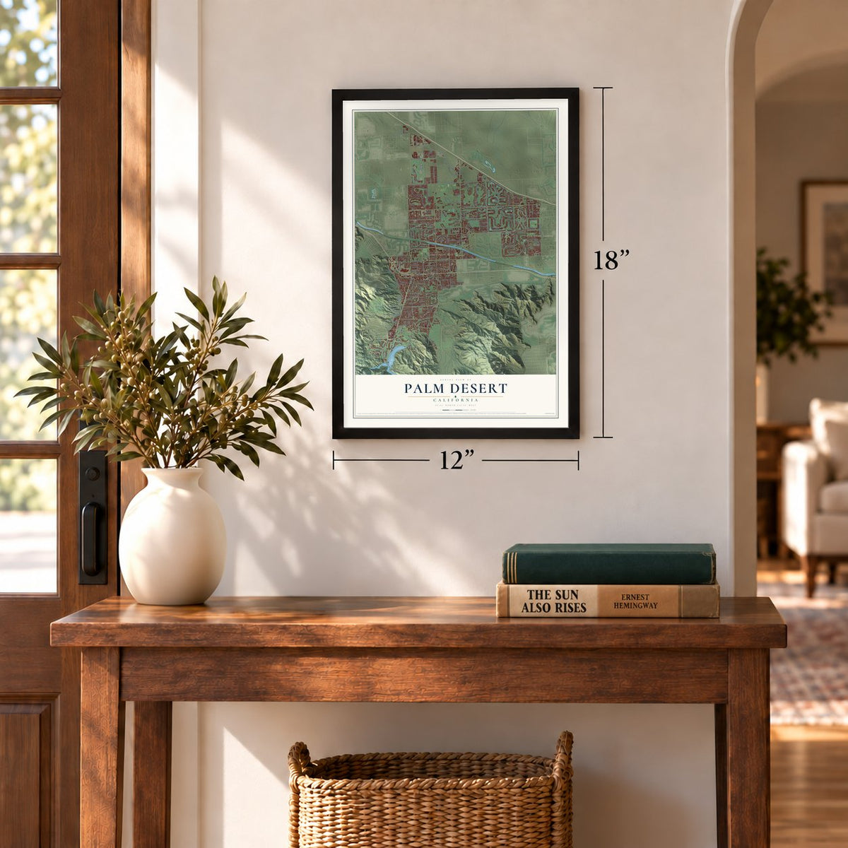
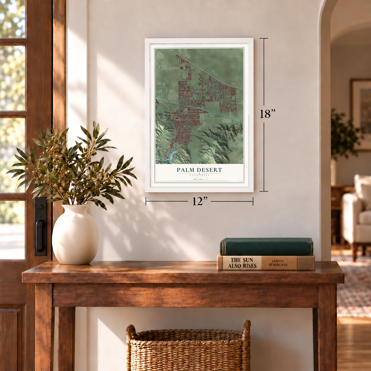
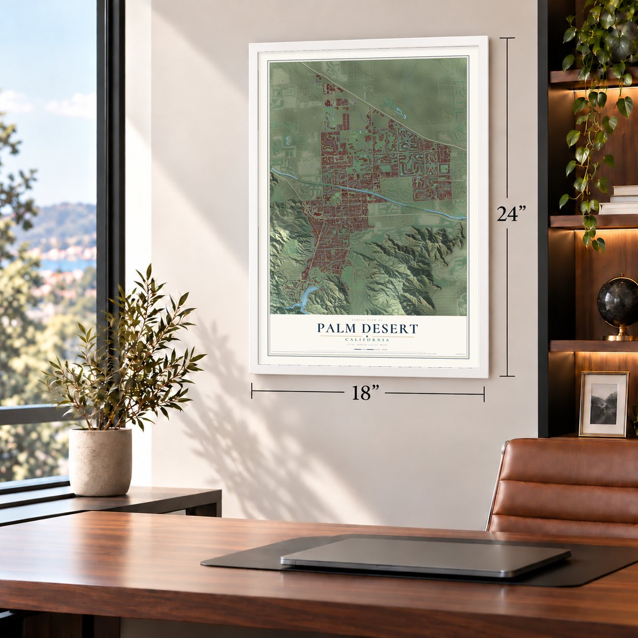
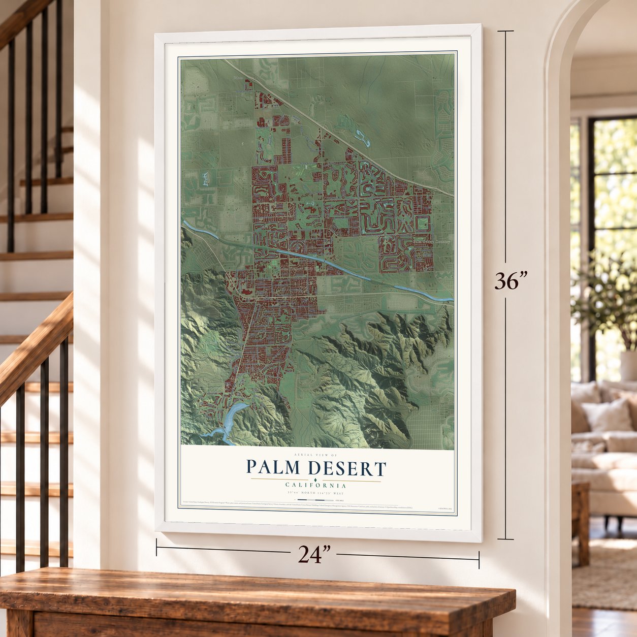
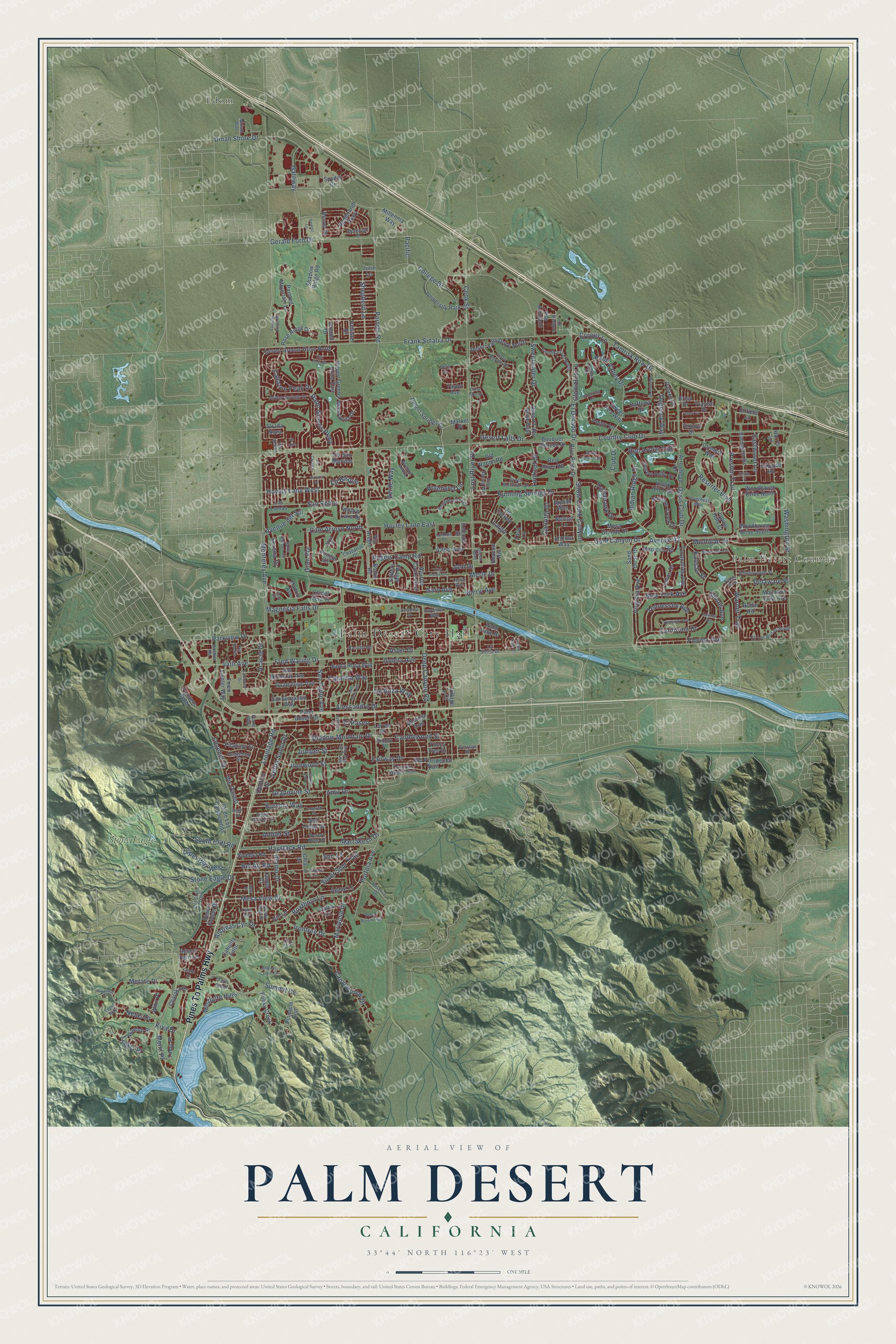
A new map of Palm Desert, California, made in 2026 and printed to order on thick archival matte paper.
12" x 18" Archival Matte Print
A Map of Home. A Work of Art.
Explore Palm Desert, California from a whole new perspective. Created using aerial imagery and detailed geographic data, this map captures Palm Desert building by building, with labeled streets, familiar landmarks, and shaded topographical relief that highlights the natural contours of the landscape.
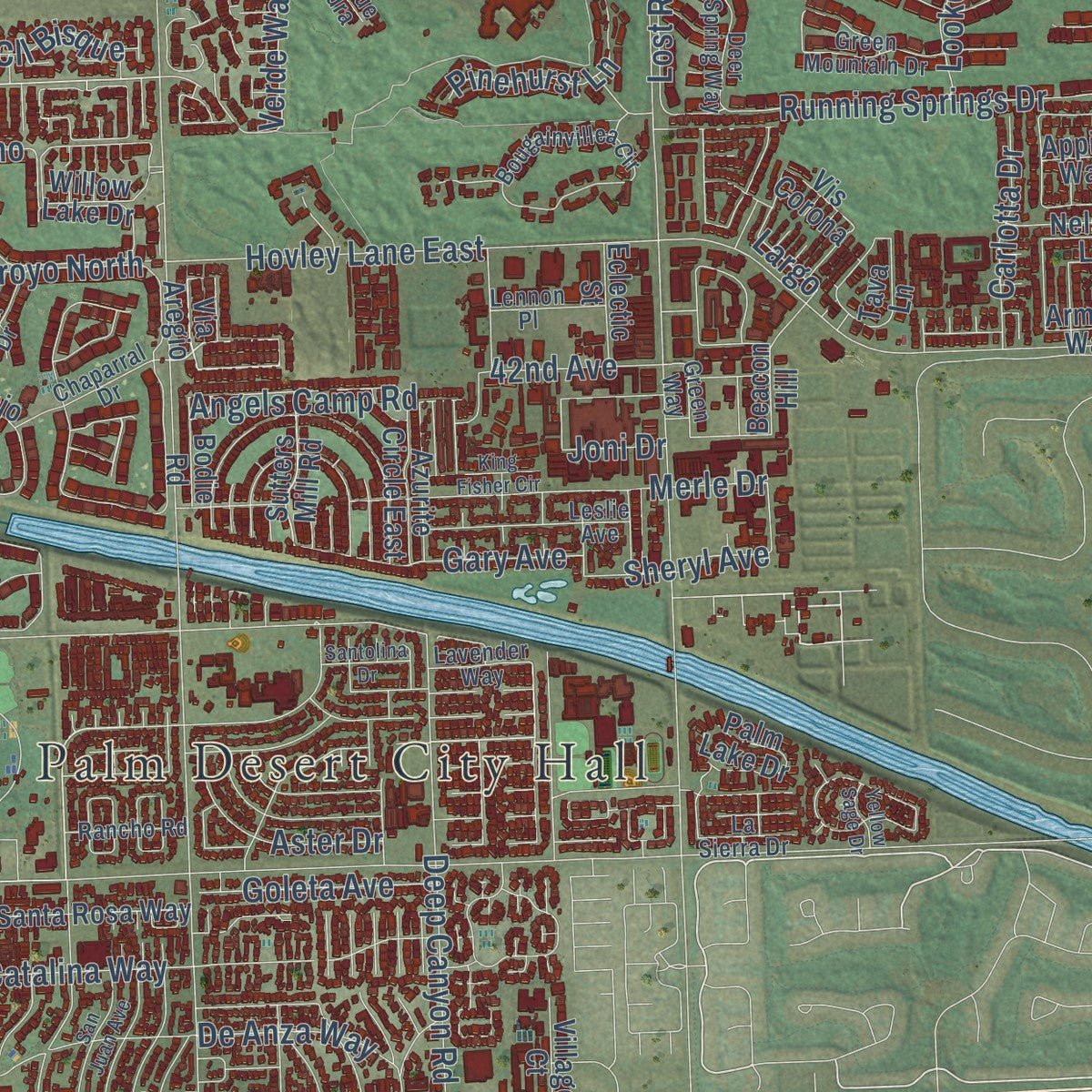
Combining modern data with the timeless character of a vintage atlas, this map is just as interesting up close as it is beautiful on the wall. Whether you grew up in Palm Desert, spent memorable years there, or call it home today, this unique map is a great way to celebrate a place that means something to you. Zoom in on the preview to look for your street, and then order a print to put your memories on the wall.
Three ways to hang it
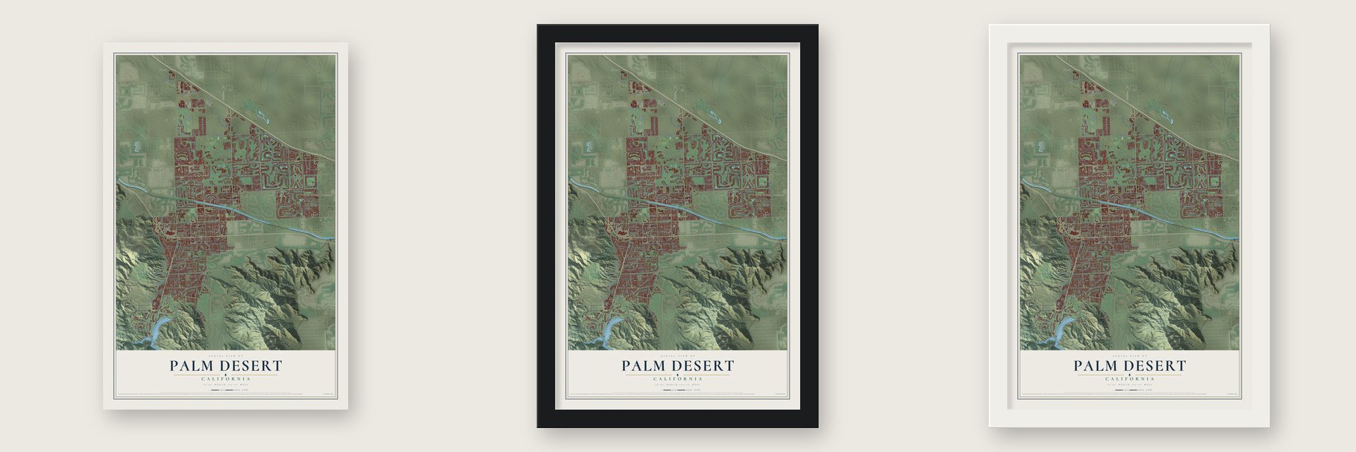
Unframed archival matte, a black wood frame or a white wood frame.
Up close
Geography Worth Displaying
This map was created using accurate cartographic data and authoritative geographic sources, including the U.S. Geological Survey and the Census Bureau. The map brings together terrain, waterways, roads, and building detail. The majority of the streets are labeled, houses are accurately depicted, and the topography is derived from government sources. Combining local data with carefully composed color and shading leads to this beautifully detailed Palm Desert artwork for your wall.
Rather than simply showing street outlines, we’ve included as many of the street names as we could reasonably fit on the map while keeping their names legible. Zoom in on the high resolution preview to see exactly what’s on the map. We truly set out to create a statement piece for anyone who loves Palm Desert. So whether it’s for you, or a gift for someone you love, we hope this map of Palm Desert brings back fond memories.
Read the story behind this map of Palm Desert, California from 2026.

About Palm Desert, California
Palm Desert is a city of 51,163 people in Riverside County, in the Coachella Valley about 14 miles east of Palm Springs. The land is the ancestral home of the Las Palmas and San Cayetano bands of the Cahuilla people, and before World War II most residents were San Cayetano Cahuilla who farmed here. The place began as the Old MacDonald Ranch and took the name Palm Village in the 1920s, after growers planted date palm groves.
Colonel Clifford W. Henderson, an aviation promoter, dreamed of a planned town in the desert. He bought about 1,622 acres, and in March 1945 he formed the Palm Desert Corporation with investors who included Edgar Bergen and Leonard Firestone. His brothers and their brother-in-law, landscape designer Tommy Tomson, drew up the street plan. A post office opened on July 14, 1947, and in 1951 the town took the name Palm Desert and absorbed Palm Village. It was incorporated on November 26, 1973, as Riverside County's 17th city, with about 14,166 people on 8.5 square miles.
- Patton's desert armyIn 1943 the U.S. Army built its Desert Training Center here under General George S. Patton, readying troops to fight in North Africa, and the housing that came with it was the area's first large-scale residential development. After the war, land south of Highway 111 became El Paseo, an upscale shopping street modeled on Rodeo Drive.
- Desert Magazine comes to townRandall J. Henderson, Clifford's brother, published Desert Magazine. After the war he moved it here and gave it a modern Pueblo-style home near Highway 111 and El Paseo, working with architect Harry J. Williams.
- The Shadow Mountain Club, 1948The Palm Desert Corporation started building the Shadow Mountain Club in 1948, with a figure-eight pool, a golf course, a hotel and a restaurant. It was the city's first golf and tennis club. Marrakesh followed in 1954 and the Palm Desert Country Club in 1962, and with more than 30 golf clubs within 10 miles, Palm Desert became known as the "World's Golf Capital."
- The Living Desert, 1970The Living Desert Zoo and Gardens opened in 1970 as a zoo and botanical garden in one. It keeps over 500 animals from 150 species on 80 acres, along with a large collection of desert plants, and draws more than 500,000 visitors a year.
Find your street
Names on the Palm Desert map
Every name below is printed on this map. Look for your street, your school, the park where you played, or the pond down the road.
Places and landmarks5
- Palm Desert City Hall
- Palm Desert Country
- Edom
- Stone Eagle
- University Park
Streets and roads287
- Pines To Palms Highway
- Desert Falls Drive
- Bursera Way
- Gold Canyon Drive
- Hovley Lane East
- Hovely Lane West
- Red Arrow Trail
- Portola Avenue
- Monterey Avenue
- Country Club Drive
- Fred Waring Drive
- Cook Street
- Frank Sinatra Drive
- Dinah Shore Drive
- Gerald Ford Drive
- Washington Street
- Shadow Mountain Drive
- El Dorado Drive
- Avenue 42
- El Paseo
- California Drive
- Frontage Road
- Preston Trail
- Deep Canyon Road
- 44th Avenue
- Magnesia Falls Drive
- Marrakesh Drive
- College Drive
- Tamrisk Row Drive
- Haystack Road
Show all 287 streets
- Portola Road
- Resorter Boulevard
- San Pablo Avenue
- Catalina Way
- Andreas Cyn Drive
- Grapevine Street
- Gran Via
- Indian Ridge Drive
- Palm Valley Drive
- Sweetwater Drive
- Metate Place
- 42nd Avenue
- Palm Greens Parkway
- Fairway Drive
- Warner Trail
- Canyon View Drive
- Alessandro Drive
- Oasis Club Drive
- Cam Arroyo North
- Mariposa Drive
- Tennessee Avenue
- Running Springs Drive
- Michigan Drive
- Gateway
- De Anza Way
- Parkview Drive
- Edgehill Drive
- Merle Drive
- Shepherd Lane
- Boxthorn Lane
- Kansas Street
- Amir Drive
- Florida Avenue
- Verde Way
- Mesa View Drive
- Upper Way West
- Kiva Drive
- Tomahawk Drive
- Mesquite Hills
- Irontree Drive
- Virginia Avenue
- New York Avenue
- Ironwood Street
- Candlewood Street
- Silver Spur Trail
- South Cliff Road
- Bel Air Road
- Avenue del Sol
- Alamo Drive
- Snow Creek Canyon
- Regency Way
- Gary Avenue
- Verba Santa Drive
- Stone Eagle Drive
- Pinehurst Lane
- San Remo
- Cabazon Peak Drive
- Angels Camp Road
- Lost River Drive
- Acacia Drive
- Summit Cv
- Delaware Place
- Lookout Drive
- Goleta Avenue
- Juniper Street
- Eastwood Lane
- Aster Drive
- Carlotta Drive
- Vis Paseo
- Crocus Lane
- Tekis Place
- Netas Drive
- Sheryl Avenue
- Gladiolus Lane
- Serena Drive
- Amber Street
- Illinois Avenue
- Menil Place
- Largo
- Cll Bisque
- Joni Drive
- Sun Lane
- Pacific
- Club Drive
- Desert Falls Drive East
- Woodhaven Drive North
- Desert Springs Drive
- Woodhaven Drive South
- Via Aregio
- Desert Fern Lane
- Sutters Mill Road
- Shadow Ridge Road
- Santa Rosa Way
- Bouquet Canyon Drive
- Desert Greens Drive East
- Mesa Grande Drive
- Palm Desert Drive
- Conejo Circle
- Painters Path
- Cll de Los Campesinos
- Mission Creek Drive
- Mountain View Avenue
- Ocotillo Drive
- Old Prospector Trail
- Arrowhead Drive
- Desert Greens Drive North
- Las Lomas
- Desert Falls Drive North
- Willow Lake Drive
- Desert Holly Drive
- Somera Road
- San Gorgonio Way
- Desert Flower Drive
- Abronia Trail
- Blue River Drive
- Sweet Pea Way
- Pitahaya Street
- Barington Drive
- Turqueries Avenue
- San Nicholas Avenue
- Guadalupe Avenue
- Agave Lane
- Cahuilla Falls
- Morocco Road
- Tava Lane
- Palm Lake Drive
- Manzanita Drive
- Hawk Hill Trail
- Old Ranch Road
- Larrea Street
- Daffodil Drive
- Pinnacle Crst
- Liolios Drive
- Sand Dune Drive
- Wanish Place
- Palace Drive
- Rose Ridge Drive
- Town Center Way
- Rembrandt Parkway
- Red River Road
- Wikil Place
- Rocky Creek
- Millennia Way
- Cll del Verano
- Painted Mountain Lane
- Tamit Place
- Spyder Circle
- Azurite Circle East
- Beacon Hill
- Via San Martino
- Dalea Lane
- Ajo Lane
- Madrid Avenue
- Chalaka Place
- Market Place
- Pso Animado
- Harris Lane
- Yucca Tree Drive
- Eclectic Street
- Center Court
- Robin Road
- Poppy Lane
- Village Court
- Salt Cedar Street
- Renoir Place
- Drexell Drive
- Hollister Drive
- Appian Way
- Traviso Drive
- Brisa Drive
- Chia Drive
- Enfield Lane
- Olympic Way
- Calypso Road
- Taylor Avenue
- Armour Way
- Nelson Lane
- Jupiter Hills Court
- Strada Nova
- Vis Corona
- Bodie Road
- Azzuro Drive
- Julie Lane
- San Luis Rey Avenue
- Frank Feltrop Circle
- Bougainvillea Circle
- Inverness Way
- Tandika Trail North
- Texas Avenue
- Adobe Springs Drive
- Cll Las Brisas South
- Vista Royale Drive
- Leslie Avenue
- Chicory Street
- Covered Wagon Trail
- Tepin Way
- Deer Spring Way
- Chaparral Drive
- Edinborough Street
- Lake Vis
- Old Stone Trail
- Green Mountain Drive
- Hedgehog Street
- Avenue Andra
- Reserve Drive
- Mondrian Place
- Desert Rose Drive
- Rancho Road
- Green Way
- Lobelia Circle
- Lennon Place
- Cll Siempre
- Joshua Road
- Joya Drive
- Lavender Way
- Shady View Drive
- Miriam Way
- La Sierra Drive
- Borrego Drive
- Palm Ridge
- Via Scena
- Plaza Way
- Jfk Trail
- Wisteria Drive
- White Horse Trail
- Fairhaven Drive
- Buckboard Trail
- Tamarisk Street
- Fairway Dunes Road
- Andreas Canyon Drive
- Indiana Avenue
- Crest Lake Drive
- Kentucky Avenue
- Terraza Drive
- Desert Bloom Trail
- Minnesota Avenue
- San Juan Avenue
- Impatiens Circle
- Golden Rod Lane
- King Fisher Circle
- Larkspur Lane
- Santa Barbara Circle
- Sereno Lane
- Oak Flats Drive
- Justin Court
- Tesori Court
- Cholla Lane
- Santolina Drive
- Wiketmal Place
- Eagle Road
- Via Cararra
- Vis Bonita
- Yellow Sage Drive
- Merill Drive
- Opal Drive
- Juan Circle
- Via Alba
Names are listed as they appear on the printed map. Zoom into the product photos to find them.
The art of mapping a place
How This Map Was Made
Real places. Remarkable detail. Discover the layers that turn geographic data into a map of home.

The view from above
Aerial imagery reveals the character of the land: woodland, open fields, and the patterns of a place.

The shape of the land
Elevation data brings hills, valleys, and subtle changes in the landscape into view.

The details of home
Roads, waterways, and building footprints come together to make the map feel unmistakably local.

Geography becomes art
Considered color, shading, and typography bring the layers together in a map made for your wall.


Process illustrated with Mendon, Massachusetts. Aerial imagery: USDA NAIP. Terrain: USGS 3D Elevation Program. Map details and finished artwork: KNOWOL.
The Details
About This Print
Choose an archival matte print, or a black or white Ayous wood frame. The archival matte print is unframed.
Select your size and finish above to see the matching product image and price.
Materials & Craftsmanship
A contemporary map with the character of a classic atlas, printed on archival matte paper. Optional frames are made from Ayous wood.
Your printed map does not include the watermark shown in the full-map preview.
Shipping & Delivery
Free shipping within the United States. Every print is made to order in the USA.
Buying a gift? Add a note in your cart and we'll include it. We never put prices in the package.
Prints ship within 2 to 3 business days. Allow 7 to 10 days total from ordering for delivery. Timing may vary during holidays or periods of high order volume.
Read our shipping policy.
Returns and damaged prints
Each print is made to order. Change-of-mind refunds are not available after production.
If your print arrives damaged, misprinted or incorrect, contact support@knowol.com within 30 days of receiving it. Include your order number, photos and a description of the issue.
Read our full refund and replacement policy. For questions about your order, email support@knowol.com.
Find your town
Looking for another city?
Find a map of home in our California collection, or any town in the country.
Nearby
Maps of towns near Palm Desert
Know someone from one of these towns? Their map makes a great gift.
 Indian Wells
, California
From $39.99See the map
 Rancho Mirage
, California
From $39.99See the map
 Bermuda Dunes
, California
From $39.99See the map
More maps nearby: Desert Palms, Thousand Palms, Indio, La Quinta and Cathedral City.