
Search for another town

Free U.S. delivery 7 to 10 days after you order
Colorado City, Colorado Map Art
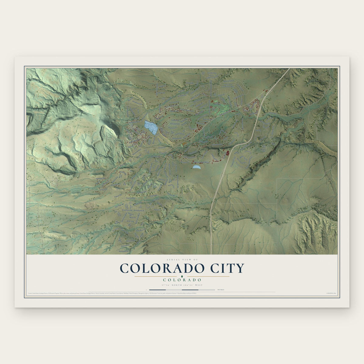
Building by building, with labeled streets and shaded relief.
12" x 18" Archival Matte Print
A Map of Home. A Work of Art.
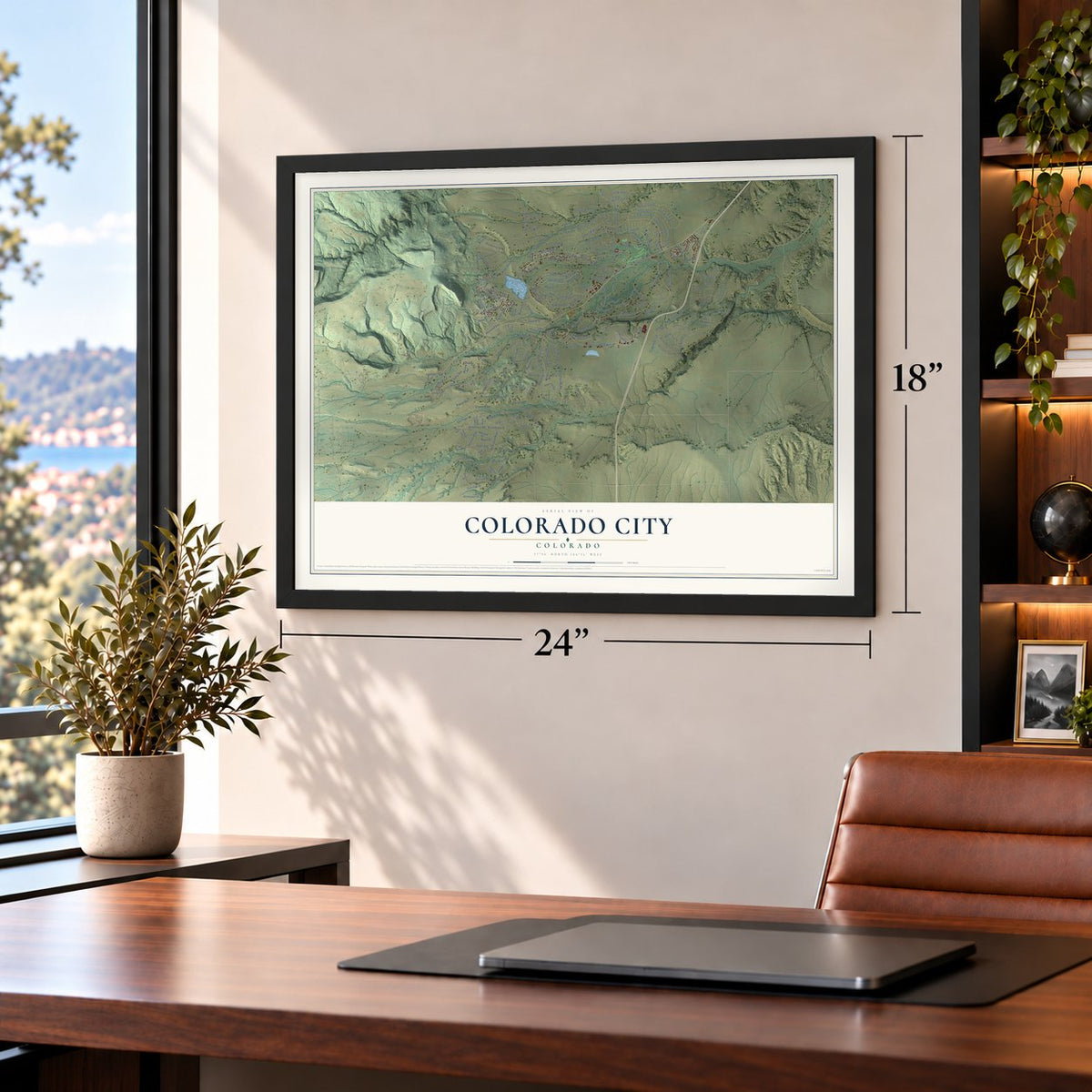
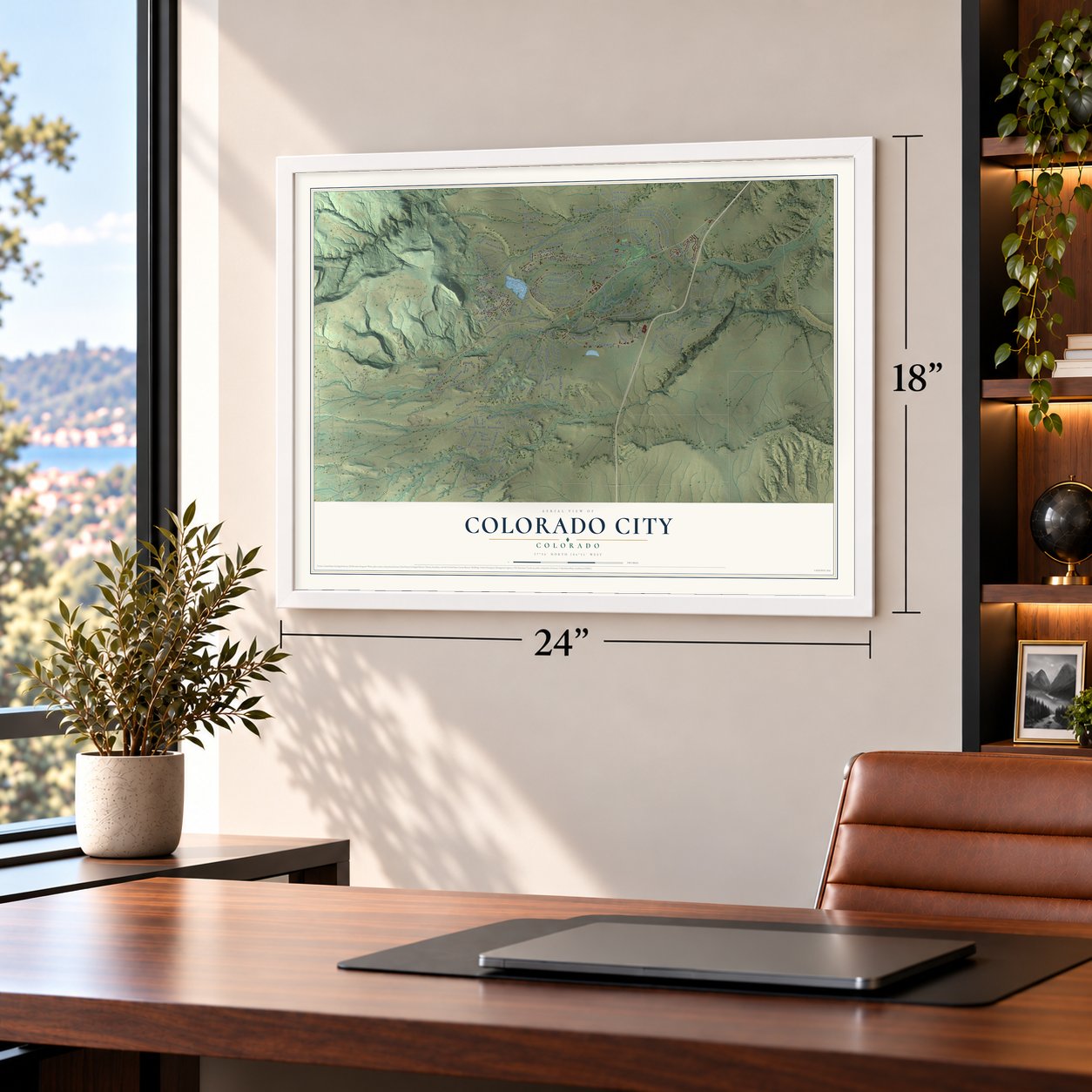
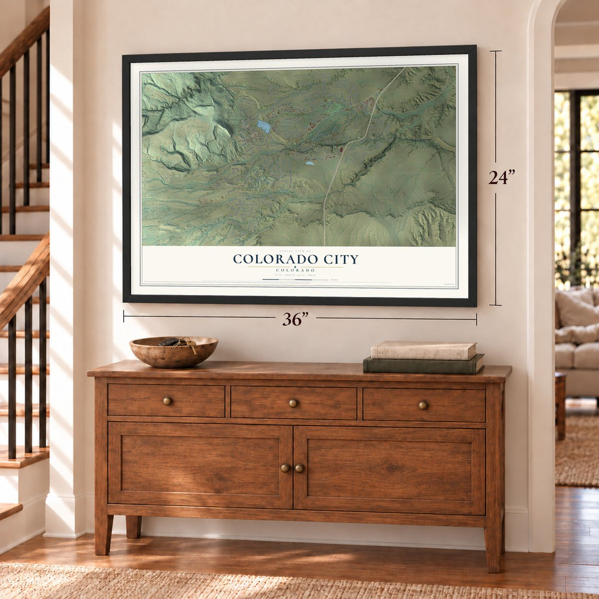
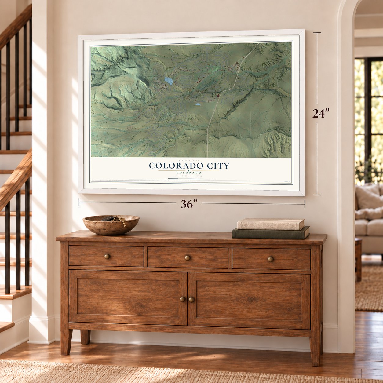
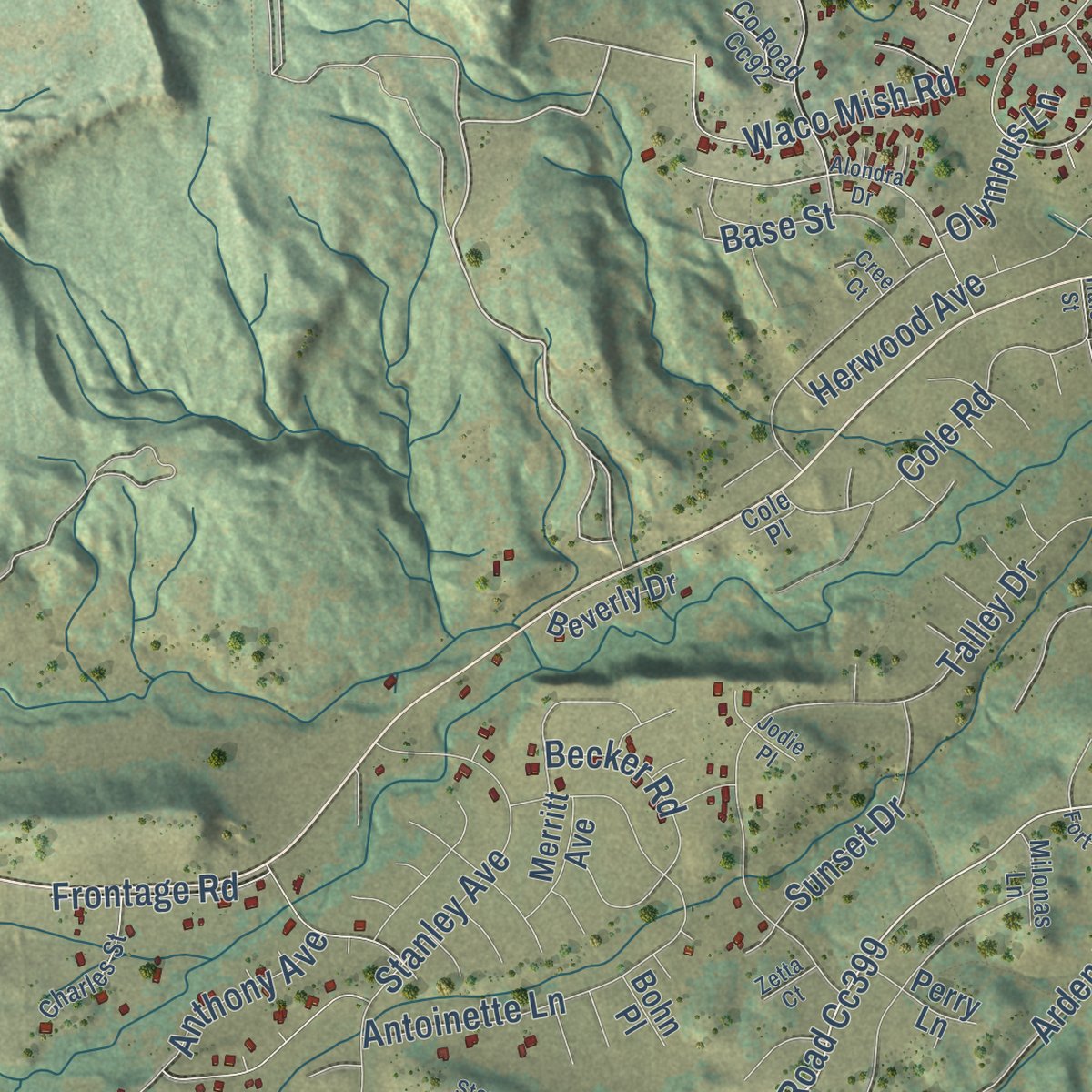
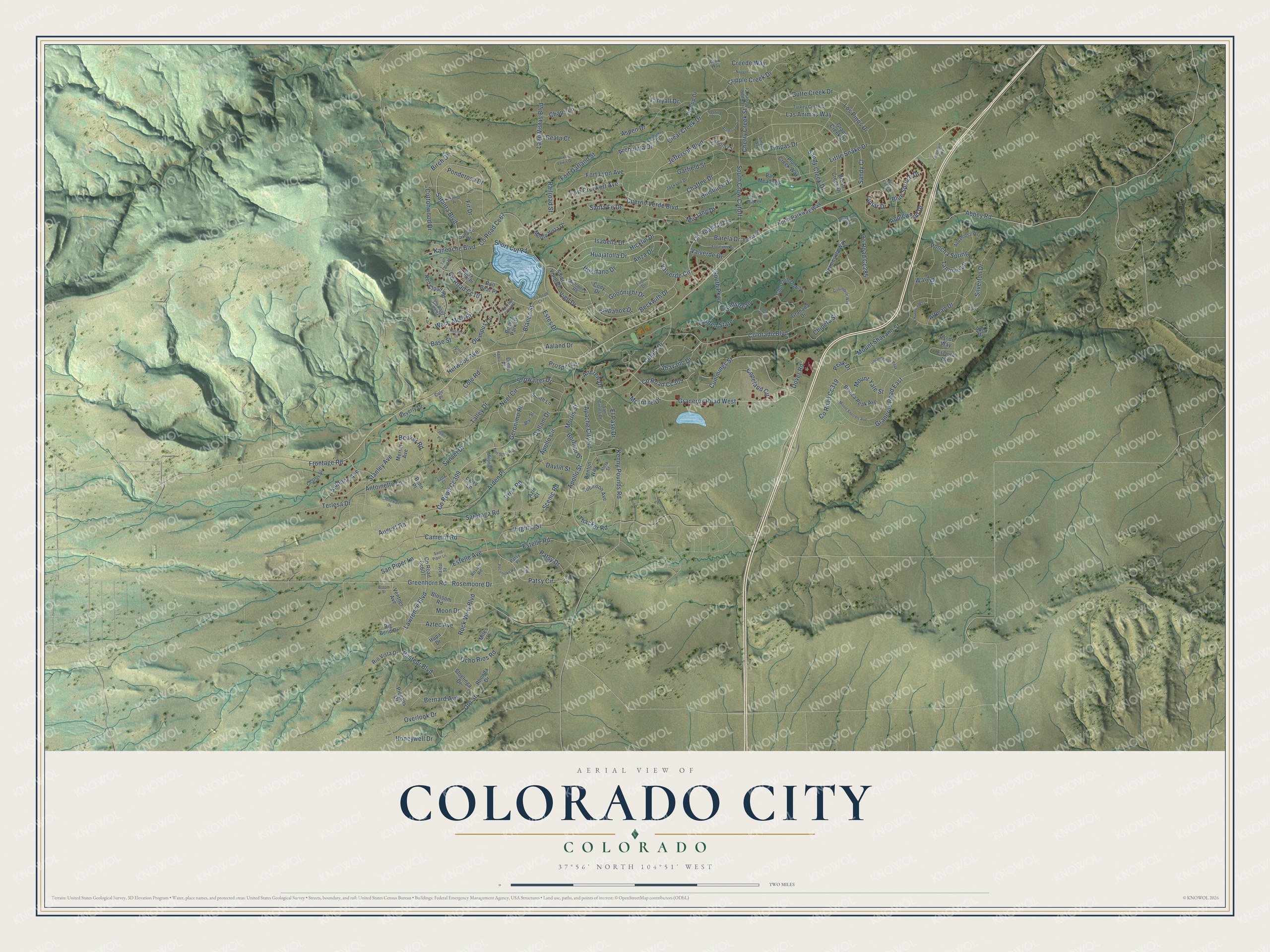
Explore Colorado City, Colorado from a whole new perspective. Created using aerial imagery and detailed geographic data, this map captures Colorado City building by building, with labeled streets, familiar landmarks, and shaded topographical relief that highlights the natural contours of the landscape.
Combining modern data with the timeless character of a vintage atlas, this map is just as interesting up close as it is beautiful on the wall. Whether you grew up in Colorado City, spent memorable years there, or call it home today, this unique map is a great way to celebrate a place that means something to you. Zoom in on the preview to look for your street, and then order a print to put your memories on the wall.
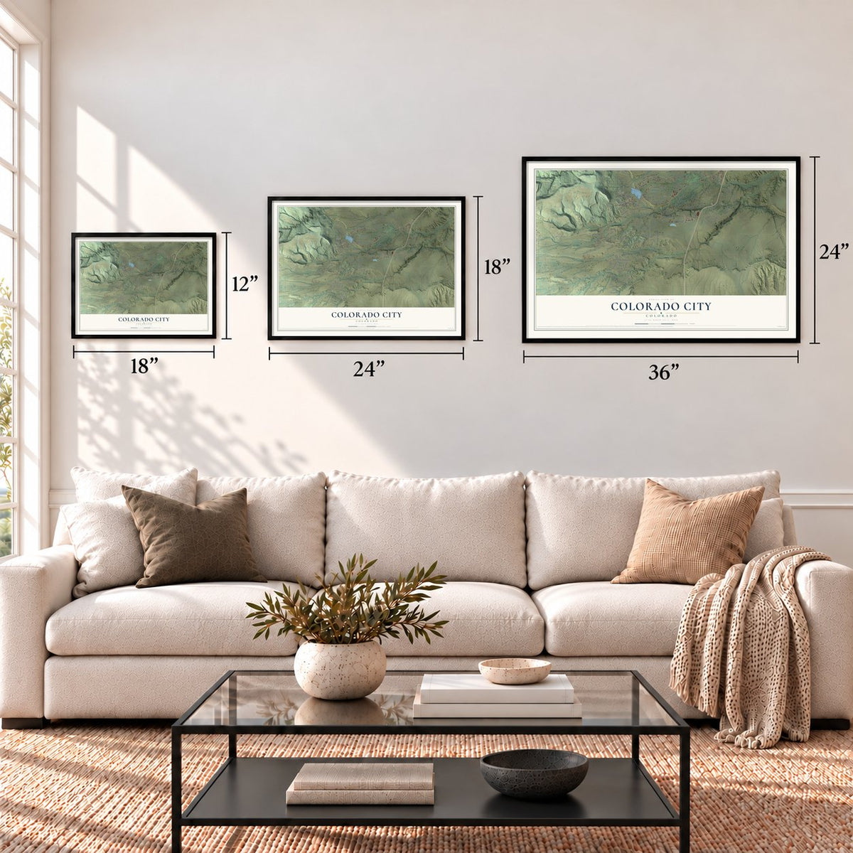
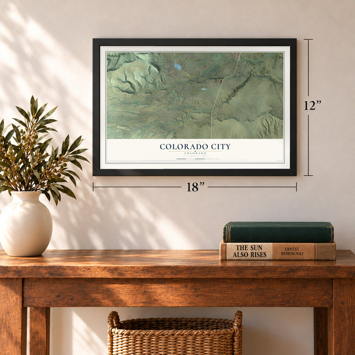
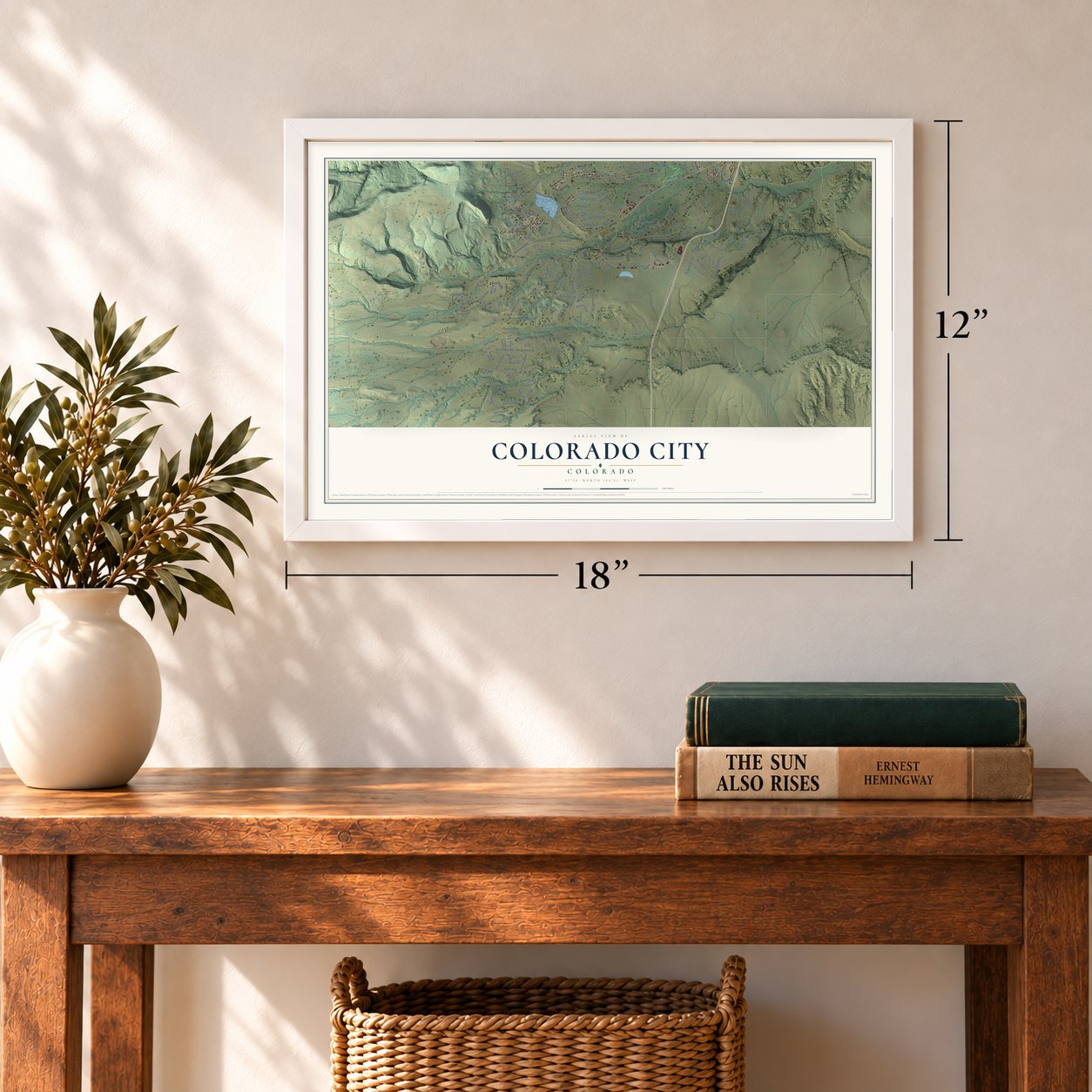
Three ways to hang it
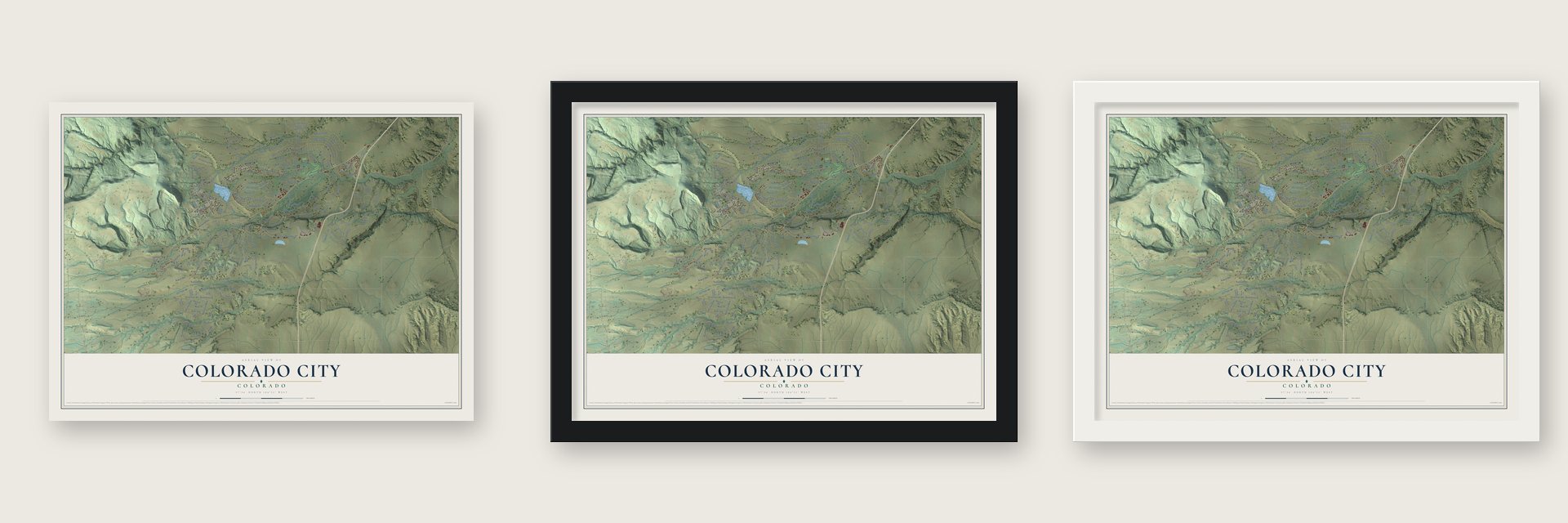
Unframed archival matte, a black wood frame or a white wood frame.
Up close
Geography Worth Displaying
This map was created using accurate cartographic data and authoritative geographic sources, including the U.S. Geological Survey and the Census Bureau. The map brings together terrain, waterways, roads, and building detail. The majority of the streets are labeled, houses are accurately depicted, and the topography is derived from government sources. Combining local data with carefully composed color and shading leads to this beautifully detailed Colorado City artwork for your wall.
Rather than simply showing street outlines, we’ve included as many of the street names as we could reasonably fit on the map while keeping their names legible. Zoom in on the high resolution preview to see exactly what’s on the map. We truly set out to create a statement piece for anyone who loves Colorado City. So whether it’s for you, or a gift for someone you love, we hope this map of Colorado City brings back fond memories.
Read the story behind this map of Colorado City, Colorado from 2026.
Find your street
Names on the Colorado City map
Every name below is printed on this map. Look for your street, your school, the park where you played, or the pond down the road.
Streets and roads227
- County Road Cc399
- Huajatolla Drive
- Hicklin Drive
- Apollo Circle
- Patsy Circle
- Estelle Avenue
- Valverde Circle
- Graneros Road West
- Waco Mish Road
- County Road Cc175
- Graneros Road East
- Isabella Drive
- Neet Circle
- Cuerno Verde Boulevard
- Colorado Boulevard
- Jefferson Boulevard
- Satanta Boulevard
- Mount Shavano Street
- Virginia Street
- South Crow Cutoff
- Chaffee Drive
- Apache City Road
- Geronimo Road
- Terlesa Drive
- Las Animas Way
- Rock View Boulevard
- Saratoga Road
- Beckwith Drive
- Abbey Road
- Timpas Drive
Show all 227 streets
- Rosemoore Drive
- Lago Vistas Boulevard
- Clear Creek Drive
- Little Snake Drive
- Cummings Street
- Camelot Road
- Kenny Pounds Road
- Talley Drive
- Poncha Spring
- Cibola Drive
- Butte Creek Drive
- Silverton Drive
- Greenhorn Road
- County Road Cc67
- Kaneache Boulevard
- Cripple Creek Drive
- County Road Cc319
- Lawrence Boulevard
- Arden Place
- Shavano Drive
- Aaland Drive
- Antoinette Lane
- Archuleta Drive
- Los Pinos Drive
- Anza Drive
- Estelle Road
- Sandy Creek Drive
- Cottonwood Drive
- Altman Drive
- Stanley Avenue
- El Paso Drive
- Showalter Drive
- Applewood Drive
- Aspen Drive
- Aztec Avenue
- Garfield Street
- Copeland Circle
- Thacker Road
- Birch Drive
- County Road Cc285
- Oto Street
- Hinsdace Drive
- Fort Garland Street
- Garden State
- County Road Cc101
- Scenic Road
- Fort Lyon Avenue
- Gulfstream
- August Road
- Fort Crockett Avenue
- Ponderosa Drive
- Pasteur Boulevard
- Blanco Street
- Borman Drive
- Becker Road
- Cole Road
- Vigil Drive
- Bernard Avenue
- South Parkway
- Herwood Avenue
- Santa Fe Drive
- Chaps Lane
- Drew Road
- Mustang Drive
- County Road Cc309
- Short Cut Road
- Lunar Drive
- Blue Spruce Drive
- Estes Drive
- Mc Intire Drive
- Anthony Avenue
- Overlook Drive
- Sunset Drive
- Fir Drive
- Dallam Drive
- San Piper Lane
- Base Street
- Sandy Court
- Patsy Drive
- Chipeta Street
- Tammie Lane
- Mount Yale Street
- Dover Road
- Cherry Creek Street
- Goodnight Drive
- Prosper Lane
- Honeywell Drive
- Frontage Road
- Barela Drive
- Huerfano Drive
- Ocho Rios Road
- Andrew Drive
- Davlin Street
- Creede Way
- Valverde Drive
- Arapahoe Drive
- Moon Drive
- Railroad Street
- Ward Drive
- Apollo Street
- Morris Street
- Olympus Lane
- Reata Court
- Tarryall Drive
- Peak Drive
- North Parkway Way
- Red Cloud Road
- Ventner Avenue
- Big Bend Drive
- Churchill Downs
- Grape Creek Drive
- County Road Cc607
- Hermosilla Way
- Saint Vrain Drive
- Tin Cup Drive
- Blossom Road
- Rio Vista Drive
- Stoelinga Drive
- Blanca Peak Avenue
- Robinson Avenue
- Brush Creek Drive
- Monte Vista Drive
- Rhonda Drive
- Apex Drive
- Beaver Park Drive
- Plum Creek Way
- Benton Way
- Spruce Drive
- Granada Drive
- Piegans Drive
- Lincoln Court
- El Dora Avenue
- Cody Drive
- Beverly Drive
- Hupa Drive
- Merritt Avenue
- Perry Lane
- Bay Meadows
- Smith Lane
- Miles Lane
- Pando Way
- Bull Bear Place
- Drew Place
- Bohn Place
- Azie Court
- Turkey Creek Drive
- Rosalie Road
- Boulder Drive
- Jackson Drive
- Appaloosa Way
- San Carlos Drive
- Charles Street
- Tobin Drive
- Autobees Road
- Blair Street
- Barela Lane
- Waldal Street
- Black Kettle Place
- County Road Cc92
- Cripple Creek Court
- Milonas Lane
- Aleta Street
- Patsy Place
- Crow Way
- Cole Place
- Mount Sneffels Avenue
- Purgatoire Way
- Alondra Drive
- County Road Cc77
- Fort Lewis Drive
- Timpas Way
- Caribou Street
- Escalante Drive
- Glen Eagle Drive
- Uncampange Peak
- Fort Scott Avenue
- Algonquin Way
- Alamosa Drive
- Costilla Drive
- Pocomoke Road
- Columbine Way
- Nugget Avenue
- Bandora Way
- Long Acres
- Walnut Place
- Cuerno Verde Lane
- Sand Piper Lane
- Stonewall Drive
- Tall Bull Place
- County Road Cc106
- Hale Street
- Broom Street
- Zetta Court
- Cree Court
- Jodie Place
- Ruth Place
- Kim Court
Names are listed as they appear on the printed map. Zoom into the product photos to find them.
About Colorado City, Colorado
Colorado City was planned on the Greenhorn as a cluster of villages for 10,000 families seeking rural living, on old Hicklin Ranch land owned by the Colorado City Development Company. It revived the name of the first Colorado City, born in the gold rush at the foot of Pikes Peak, which became the first capital of Colorado Territory.
Ralph Taylor, a Pueblo Chieftain reporter and sometime historian, gave the name Colorado City to the real estate developer building a town south of Pueblo. It was a nod to the original Colorado City, a frontier town that stood before Colorado Springs existed.
Keep exploring Colorado
Colorado City is one of 550 Colorado towns we've mapped. Every dot on the map is a print of its own.
The search covers every state, Colorado first.
Near Colorado City
Order 2 or more town maps and save 10%. Shown in the size and finish you picked above, so they hang as a set.
- Rye 12" x 18" / Archival Matte Print $39.99
- Beulah Valley 12" x 18" / Archival Matte Print $39.99
- Gardner 12" x 18" / Archival Matte Print $39.99
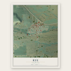
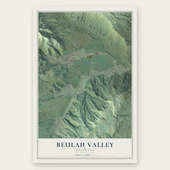

More maps nearby: Walsenburg, Bessemer, Goodnight, Salt Creek and Pueblo.
The art of mapping a place
How This Map Was Made
Real places. Remarkable detail. Discover the layers that turn geographic data into a map of home.

The view from above
Aerial imagery reveals the character of the land: woodland, open fields, and the patterns of a place.

The shape of the land
Elevation data brings hills, valleys, and subtle changes in the landscape into view.

The details of home
Roads, waterways, and building footprints come together to make the map feel unmistakably local.

Geography becomes art
Considered color, shading, and typography bring the layers together in a map made for your wall.


Process illustrated with Mendon, Massachusetts. Aerial imagery: USDA NAIP. Terrain: USGS 3D Elevation Program. Map details and finished artwork: KNOWOL.
The Details
About This Print
Choose an archival matte print, or a black or white Ayous wood frame. The archival matte print is unframed.
Select your size and finish above to see the matching product image and price.
Materials & Craftsmanship
A contemporary map with the character of a classic atlas, printed on archival matte paper. Optional frames are made from Ayous wood.
Your printed map does not include the watermark shown in the full-map preview.
Shipping & Delivery
Free shipping within the United States. Every print is made to order in the USA.
Buying a gift? Add a note in your cart and we'll include it. We never put prices in the package.
Prints ship within 2 to 3 business days. Allow 7 to 10 days total from ordering for delivery. Timing may vary during holidays or periods of high order volume.
Read our shipping policy.
Returns and damaged prints
Each print is made to order. Change-of-mind refunds are not available after production.
If your print arrives damaged, misprinted or incorrect, contact support@knowol.com within 30 days of receiving it. Include your order number, photos and a description of the issue.
Read our full refund and replacement policy. For questions about your order, email support@knowol.com.