
Search for another town




Free U.S. delivery 7 to 10 days after you order
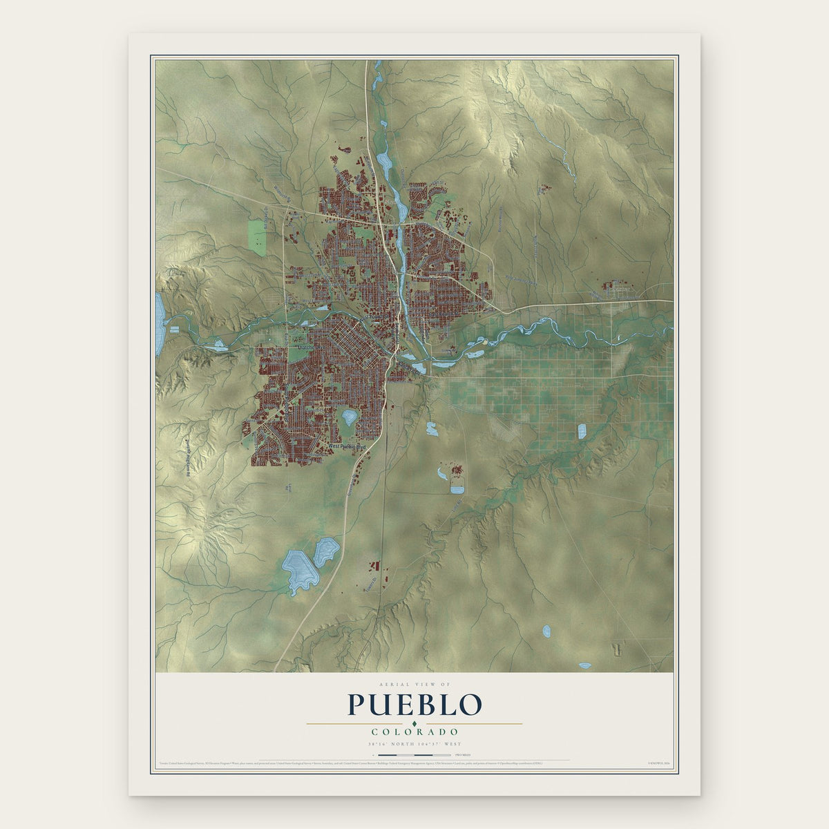
Pueblo, Colorado Map Art
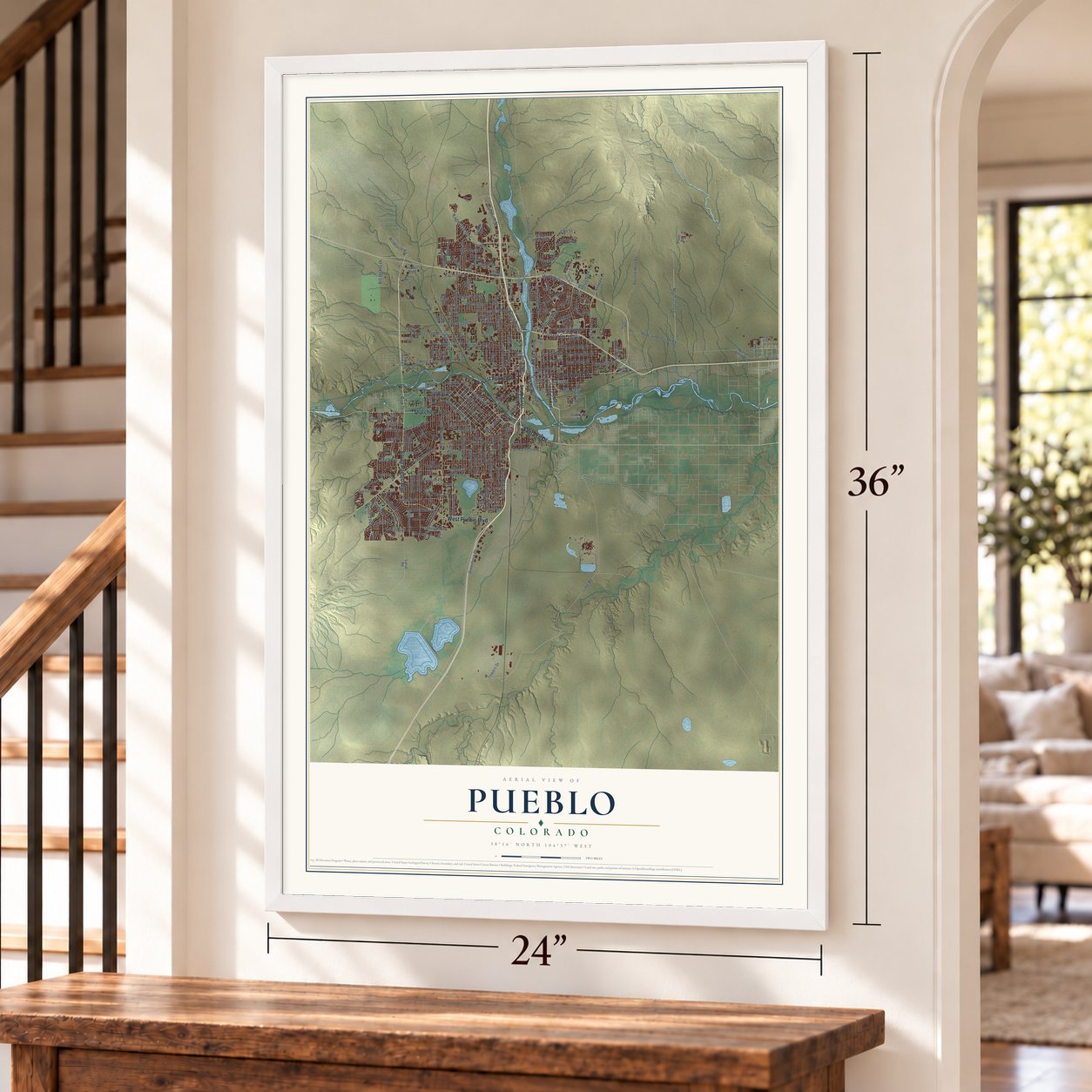
A new map of Pueblo, Colorado, made in 2026 and printed to order on thick archival matte paper.
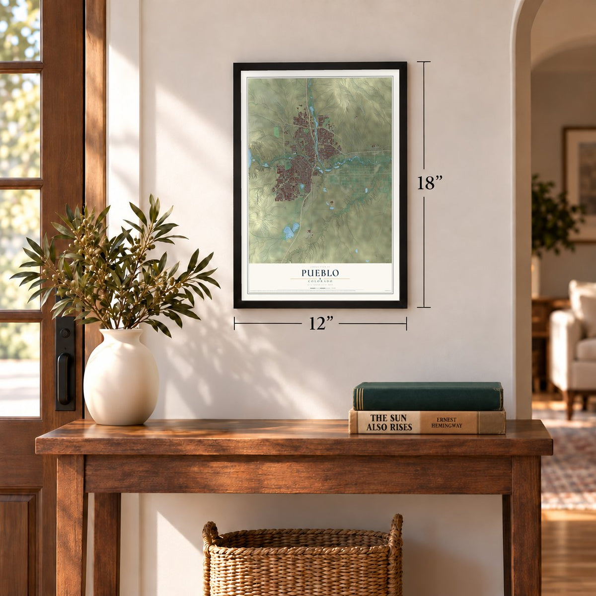
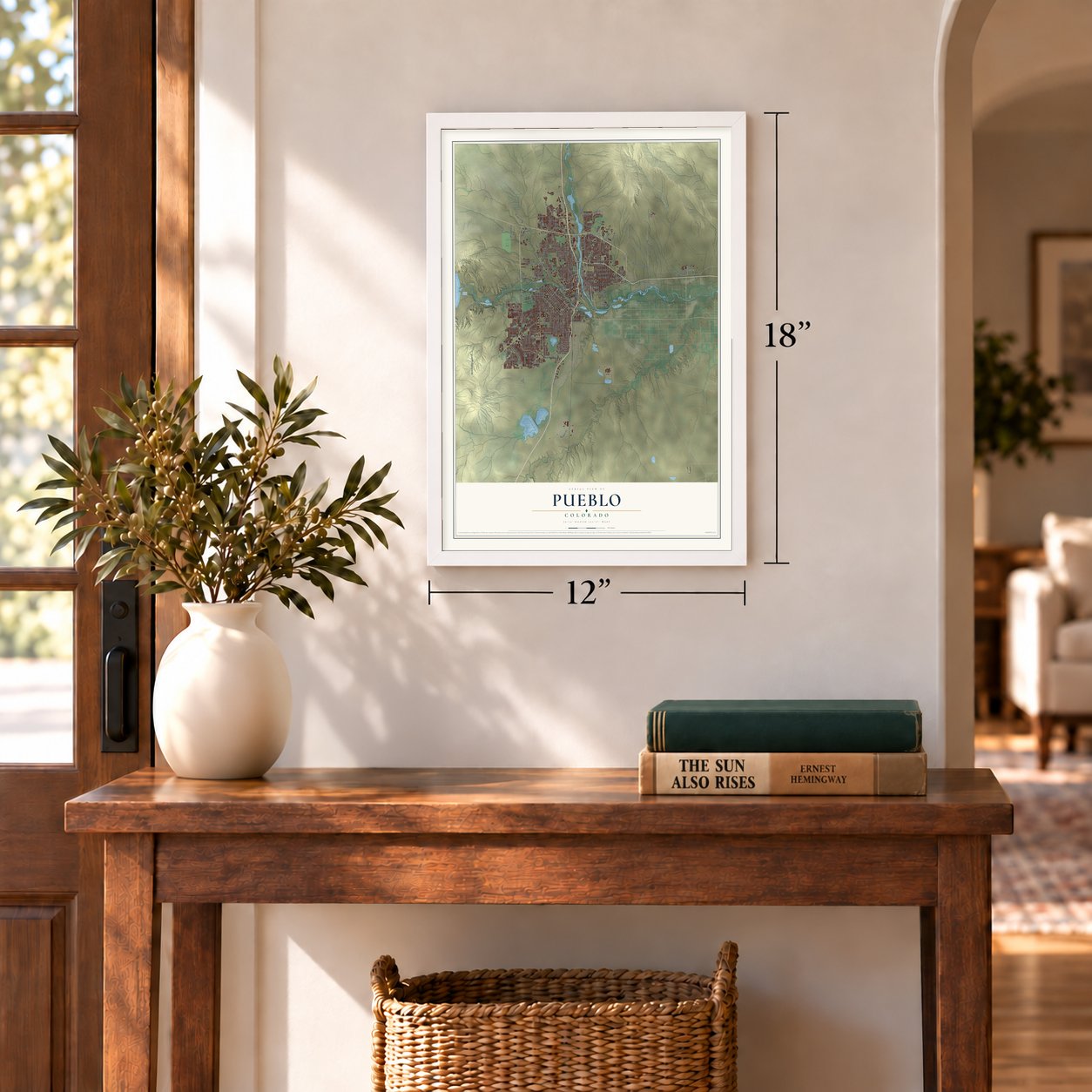
12" x 18" Archival Matte Print
A Map of Home. A Work of Art.
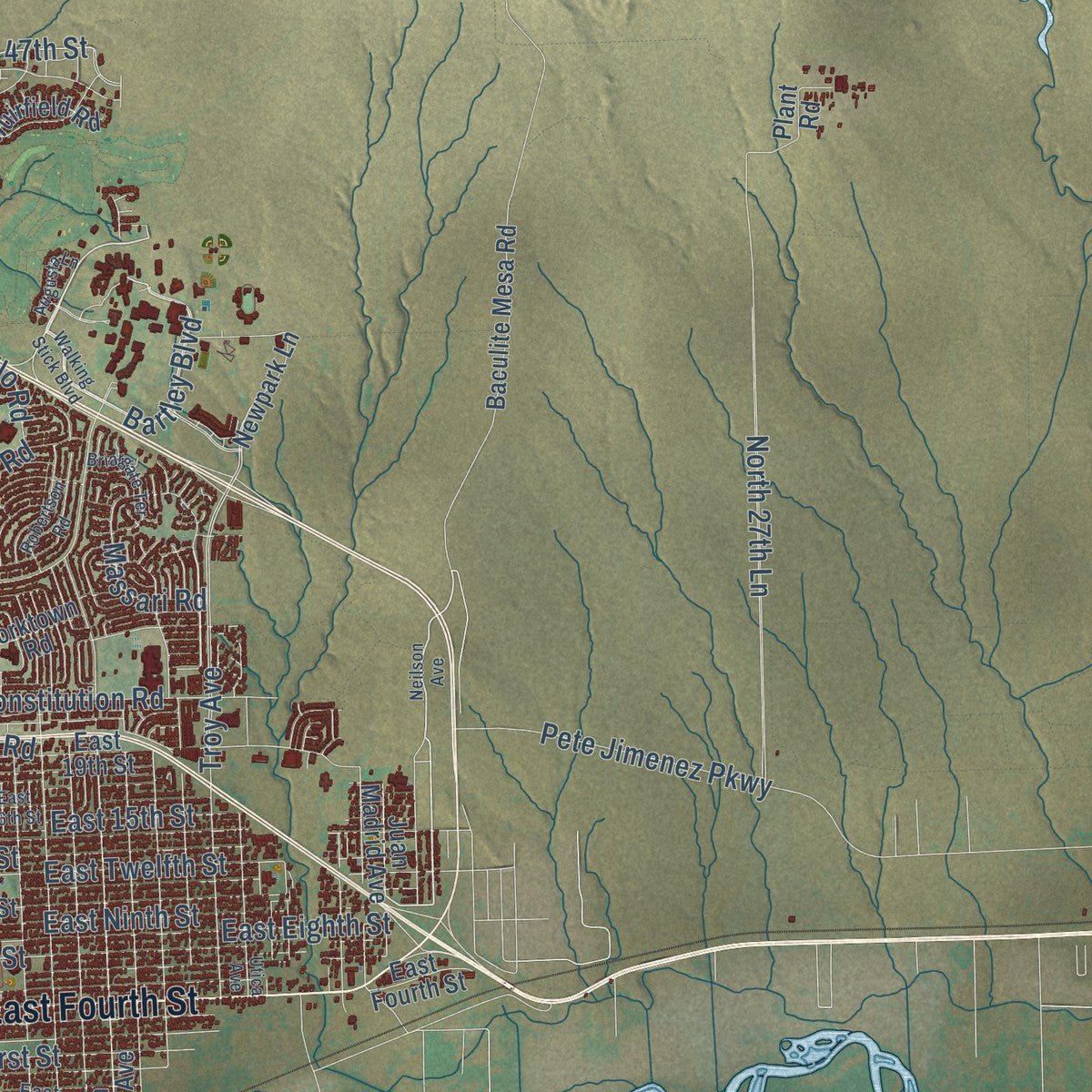
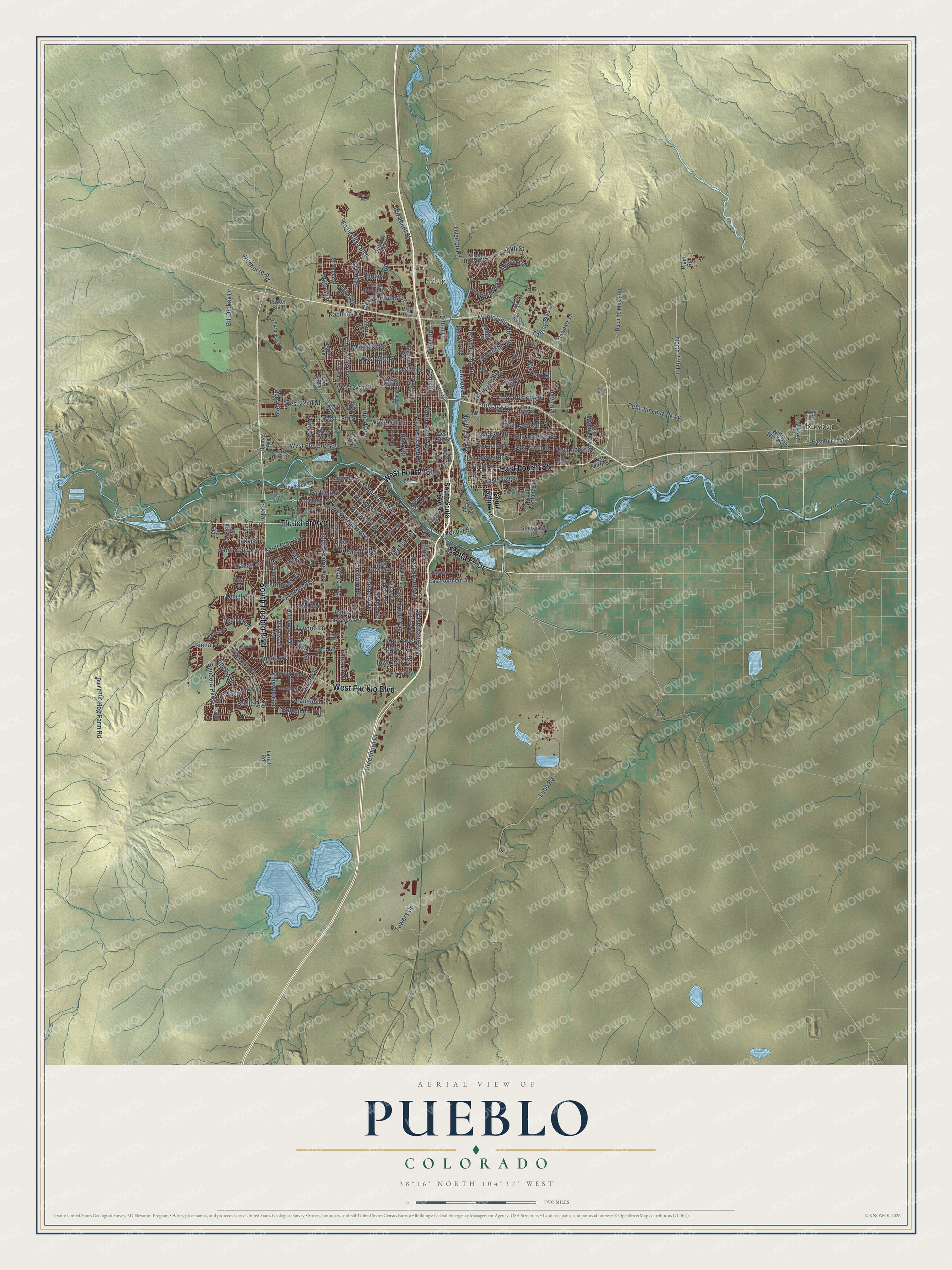
Explore Pueblo, Colorado from a whole new perspective. Created using aerial imagery and detailed geographic data, this map captures Pueblo building by building, with labeled streets, familiar landmarks, and shaded topographical relief that highlights the natural contours of the landscape.
Combining modern data with the timeless character of a vintage atlas, this map is just as interesting up close as it is beautiful on the wall. Whether you grew up in Pueblo, spent memorable years there, or call it home today, this unique map is a great way to celebrate a place that means something to you. Zoom in on the preview to look for your street, and then order a print to put your memories on the wall.
Three ways to hang it
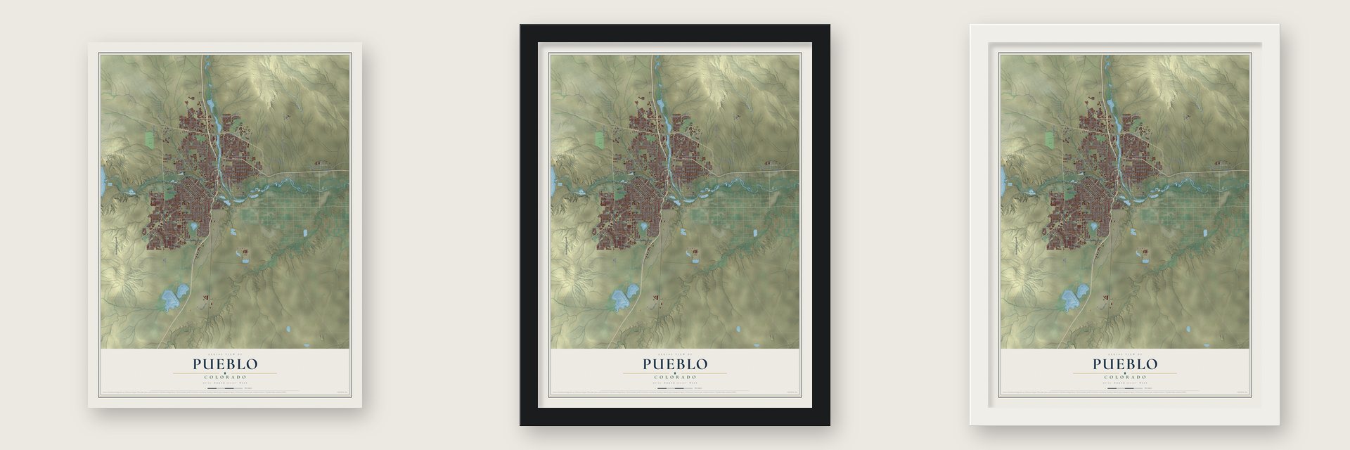
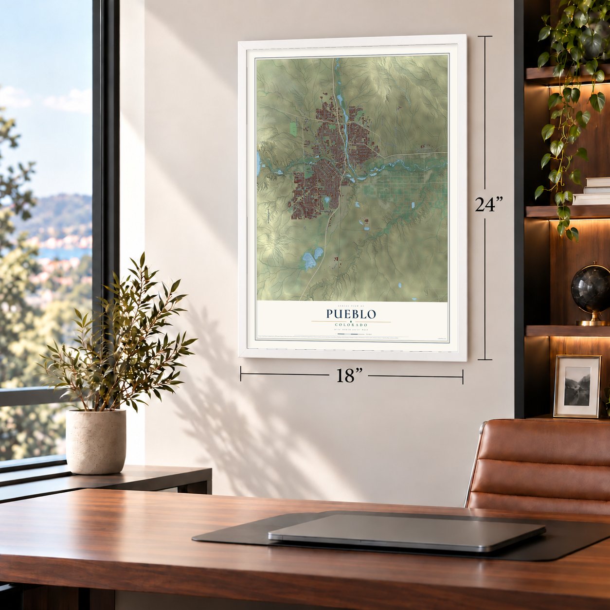
Unframed archival matte, a black wood frame or a white wood frame.
Up close
Geography Worth Displaying
This map was created using accurate cartographic data and authoritative geographic sources, including the U.S. Geological Survey and the Census Bureau. The map brings together terrain, waterways, roads, and building detail. The majority of the streets are labeled, houses are accurately depicted, and the topography is derived from government sources. Combining local data with carefully composed color and shading leads to this beautifully detailed Pueblo artwork for your wall.
Rather than simply showing street outlines, we’ve included as many of the street names as we could reasonably fit on the map while keeping their names legible. Zoom in on the high resolution preview to see exactly what’s on the map. We truly set out to create a statement piece for anyone who loves Pueblo. So whether it’s for you, or a gift for someone you love, we hope this map of Pueblo brings back fond memories.
Read the story behind this map of Pueblo, Colorado from 2026.

About Pueblo, Colorado
Pueblo is a city of 111,876 people and the seat of Pueblo County, where Fountain Creek runs into the Arkansas River. Around 1842, trappers including James Beckwourth and George Simpson said they helped build a trading plaza here that people called El Pueblo. Between December 23 and 25, 1854, a war party of Utes and Jicarilla Apaches led by the Ute chief Tierra Blanca raided the plaza, and the traders abandoned it.
The Colorado Gold Rush of 1858 drew settlers back, and Pueblo was platted in 1860. Its post office opened on December 13, 1860, and when Congress created the Territory of Colorado in 1861, the new county took the town's name. Four towns grew up side by side: Pueblo, incorporated in 1870, South Pueblo in 1873, Central Pueblo in 1882 and Bessemer in 1886. The first three merged into one City of Pueblo in the spring of 1886, and Bessemer joined in 1894.
“What is it... something in the water out there in Pueblo? All you guys turn out to be heroes!”
- A railroad aimed at MexicoWilliam Jackson Palmer's Denver & Rio Grande Railroad reached Pueblo in 1872 and tied the city to the growing towns of the Front Range. Palmer dreamed of running his line all the way to Mexico, and to make the point he named the streets of South Pueblo after small Mexican towns.
- The Steel CityThe Colorado Fuel and Iron mill on the south side was Pueblo's main industry and, for nearly a century, Colorado's largest employer. A 1909 account called Pueblo the one steel town west of the Mississippi. The blast furnaces closed after the 1982 steel crash and came down in 1989 and 1990. In 2003 the Bessemer Historical Society bought the office buildings, renovated them in 2006, and houses the Steelworks Museum of Industry and Culture and the CF&I Archives there.
- Melting Pot of the WestJobs at the mill drew immigrants from across the world in the early twentieth century. At one point workers spoke more than 40 languages inside the mill, and the city printed more than two dozen newspapers in foreign languages. Irish, Italian, Slovenian, Greek, Mexican and many other families settled in their own neighborhoods, and their cultural groups still hold festivals today.
- Saddles and the flood of 1921Pueblo was known as the saddle-making capital of the world until a run of floods ended with the Great Flood of 1921. That flood wiped out about a third of the businesses downtown and many buildings. Today the Historic Arkansas River Project, a riverwalk winding through the downtown Union Avenue Historic Commercial District, tells the story of the disaster.
- Home of Heroes since 1993Four Medal of Honor recipients called Pueblo home: Drew D. Dix, Raymond G. Murphy, Carl L. Sitter and William J. Crawford. President Eisenhower joked about the city's water when he gave Murphy his medal in 1953. In 1993 the City Council adopted the name Home of Heroes, the Congressional Record recognized it on July 1, 1993, and a memorial to the four now stands at the Pueblo Convention Center.
Find your street
Names on the Pueblo map
Every name below is printed on this map. Look for your street, your school, the park where you played, or the pond down the road.
Places and landmarks2
- Baxter
- Eden
Streets and roads210
- South Pueblo Boulevard
- East Fourth Street
- West Fourth Street
- Thatcher Avenue
- West Pueblo Boulevard
- Santa Fe Drive
- West Abriendo Avenue
- West 29th Street
- East Ninth Street
- Bartley Boulevard
- Hart Road
- North Elizabeth Street
- Frontage Road
- Court Street
- Elizabeth Street
- East Seventh Street
- West 27th Street
- Lehigh Avenue
- Dillon Drive
- Lime Road
- Lake Avenue
- North 27th Lane
- South Prairie Avenue
- Troy Avenue
- West 24th Street
- Jerry Murphy Road
- West Eleventh Street
- Eagleridge Boulevard
- East Routt Avenue
- Acero Avenue
Show all 210 streets
- East Evans Avenue
- East Eighth Street
- East Orman Avenue
- Saint Clair Avenue
- West 18th Street
- Jones Avenue
- Bonforte Boulevard
- Palmer Avenue
- East Twelfth Street
- Pine Street
- North Grand Avenue
- Hollywood Drive
- Van Buren Street
- East 13th Street
- Starlite Drive
- West 17th Street
- Oneal Avenue
- West Street
- Greenhorn Drive
- Cheyenne Avenue
- Ridge Drive
- West Adams Avenue
- Fordham Circle
- Vinewood Lane
- West 31st Street
- West 22nd Street
- West Fortino Boulevard
- Wills Boulevard
- Bridle Trail
- Constitution Road
- Azalea Street
- 47th Street
- Encino Drive
- Farabaugh Lane
- Comanche Road
- East First Street
- Bill Dickey Drive
- Montebello Road
- Ivywood Lane
- Bandera Parkway
- Massari Road
- North Erie Avenue
- Hog Farm Road
- Small Avenue
- East 15th Street
- Chinook Lane
- Wildhorse Road
- Pete Jimenez Parkway
- Sage Street
- Carlile Avenue
- West Routt Avenue
- Pioneer Road
- Stanford Avenue
- Kachina Drive
- Blake Street
- Emilia Street
- Elm Street
- Iowa Avenue
- Hood Avenue
- Siena Drive
- Towers Drive
- Valley Drive
- Ontario Street
- Overton Road
- Solar Drive
- Park Drive
- Oak Avenue
- Aqua Avenue
- Madison Street
- Posada Drive
- Thames Drive
- Bobcat Lane
- Tucci Lane
- Perry Avenue
- Locust Street
- South Joplin Avenue
- South Santa Fe Avenue
- South Union Avenue
- Goodnight Avenue
- South Portland Avenue
- Juan Madrid Avenue
- Outlook Boulevard
- Spruce Street
- East Tenth Street
- West 13th Street
- Cedar Street
- Lakeview Avenue
- East Fifth Street
- West 14th Street
- Berkley Avenue
- West Arroyo Avenue
- West 25th Street
- Cornell Circle
- Baculite Mesa Road
- Vision Hills Parkway
- Reservoir Drive
- Morris Avenue
- Rice Avenue
- Bay State Avenue
- Ridgewood Lane
- Baylor Street
- West Grant Avenue
- Newpark Lane
- East Northern Avenue
- Nevada Avenue
- East 19th Street
- Second Avenue
- East United Avenue
- Dump Road
- Bluestem Boulevard
- Thomas Avenue
- Brookfield Lane
- Muirfield Road
- Lariat Road
- Mohawk Road
- Parker Boulevard
- Plant Road
- Murray Road
- Adrian Avenue
- William White Boulevard
- Tierra Berienda
- Widener Street
- Yorktown Road
- Douglas Lane
- Ardath Lane
- Stockyard Road
- Lowell Avenue
- Skyway Street
- Patty Drive
- Pear Street
- Long Street
- Ibis Lane
- East Beech Street
- North Main Street
- East Third Street
- West 21st Street
- Atlanta Avenue
- High Street
- East Spaulding Avenue
- Maryland Avenue
- Tuxedo Boulevard
- Stone Avenue
- East Mesa Avenue
- Zuni Road
- North Albany Avenue
- Baxter Street
- Montezuma Road
- Halleck Avenue
- Longwood Avenue
- Spring Street
- 18th Street
- Himes Avenue
- Bryan Circle
- Walking Stick Boulevard
- Neilson Avenue
- Ash Street
- North Freeway Road
- Surfwood Lane
- La Vista Road
- East 16th Street
- West Ninth Street
- Fairfield Lane
- Scranton Avenue
- Purdue Street
- Utica Avenue
- Broadway Avenue
- Princeton Street
- Briargate Terrace
- Robertson Road
- Lake Joy Drive
- Peregrine Drive
- Augusta Lane
- Fir Street
- Bellevue Place
- Eden Avenue
- Calla Avenue
- Alturas Drive
- Prairie Halk
- Vail Avenue
- Desert Vw
Names are listed as they appear on the printed map. Zoom into the product photos to find them.
The art of mapping a place
How This Map Was Made
Real places. Remarkable detail. Discover the layers that turn geographic data into a map of home.

The view from above
Aerial imagery reveals the character of the land: woodland, open fields, and the patterns of a place.

The shape of the land
Elevation data brings hills, valleys, and subtle changes in the landscape into view.

The details of home
Roads, waterways, and building footprints come together to make the map feel unmistakably local.

Geography becomes art
Considered color, shading, and typography bring the layers together in a map made for your wall.


Process illustrated with Mendon, Massachusetts. Aerial imagery: USDA NAIP. Terrain: USGS 3D Elevation Program. Map details and finished artwork: KNOWOL.
The Details
About This Print
Choose an archival matte print, or a black or white Ayous wood frame. The archival matte print is unframed.
Select your size and finish above to see the matching product image and price.
Materials & Craftsmanship
A contemporary map with the character of a classic atlas, printed on archival matte paper. Optional frames are made from Ayous wood.
Your printed map does not include the watermark shown in the full-map preview.
Shipping & Delivery
Free shipping within the United States. Every print is made to order in the USA.
Buying a gift? Add a note in your cart and we'll include it. We never put prices in the package.
Prints ship within 2 to 3 business days. Allow 7 to 10 days total from ordering for delivery. Timing may vary during holidays or periods of high order volume.
Read our shipping policy.
Returns and damaged prints
Each print is made to order. Change-of-mind refunds are not available after production.
If your print arrives damaged, misprinted or incorrect, contact support@knowol.com within 30 days of receiving it. Include your order number, photos and a description of the issue.
Read our full refund and replacement policy. For questions about your order, email support@knowol.com.
Find your town
Looking for another city?
Find a map of home in our Colorado collection, or any town in the country.
Nearby
Maps of towns near Pueblo
Know someone from one of these towns? Their map makes a great gift.
 Salt Creek
, Colorado
From $39.99See the map
 Blende
, Colorado
From $39.99See the map
 Vineland
, Colorado
From $39.99See the map
More maps nearby: Pueblo West, Avondale, Boone, Penrose and Beulah Valley.