
Search for another town




Free U.S. delivery 7 to 10 days after you order
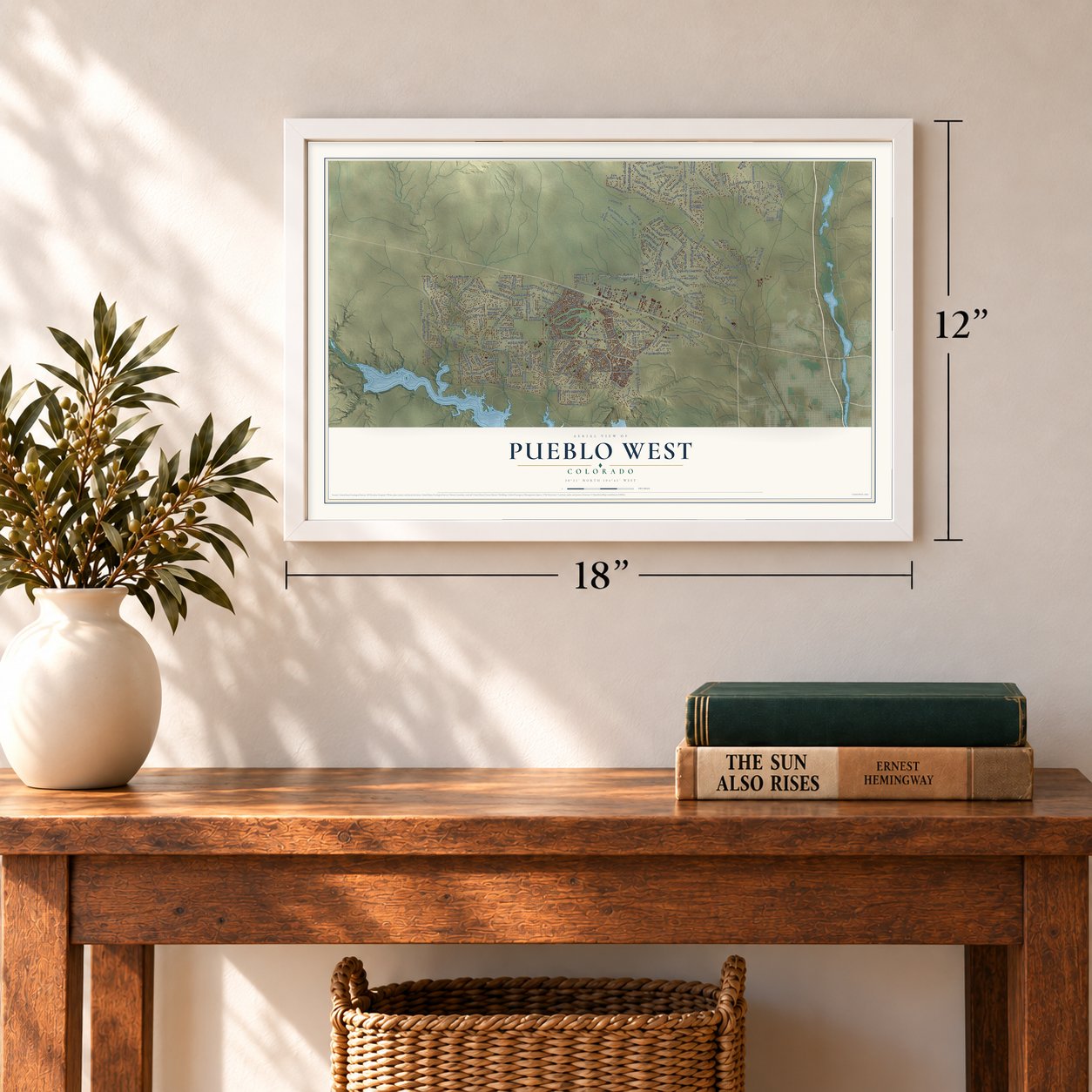
Pueblo West, Colorado Map Art
Building by building, with labeled streets and shaded relief.
12" x 18" Archival Matte Print
A Map of Home. A Work of Art.
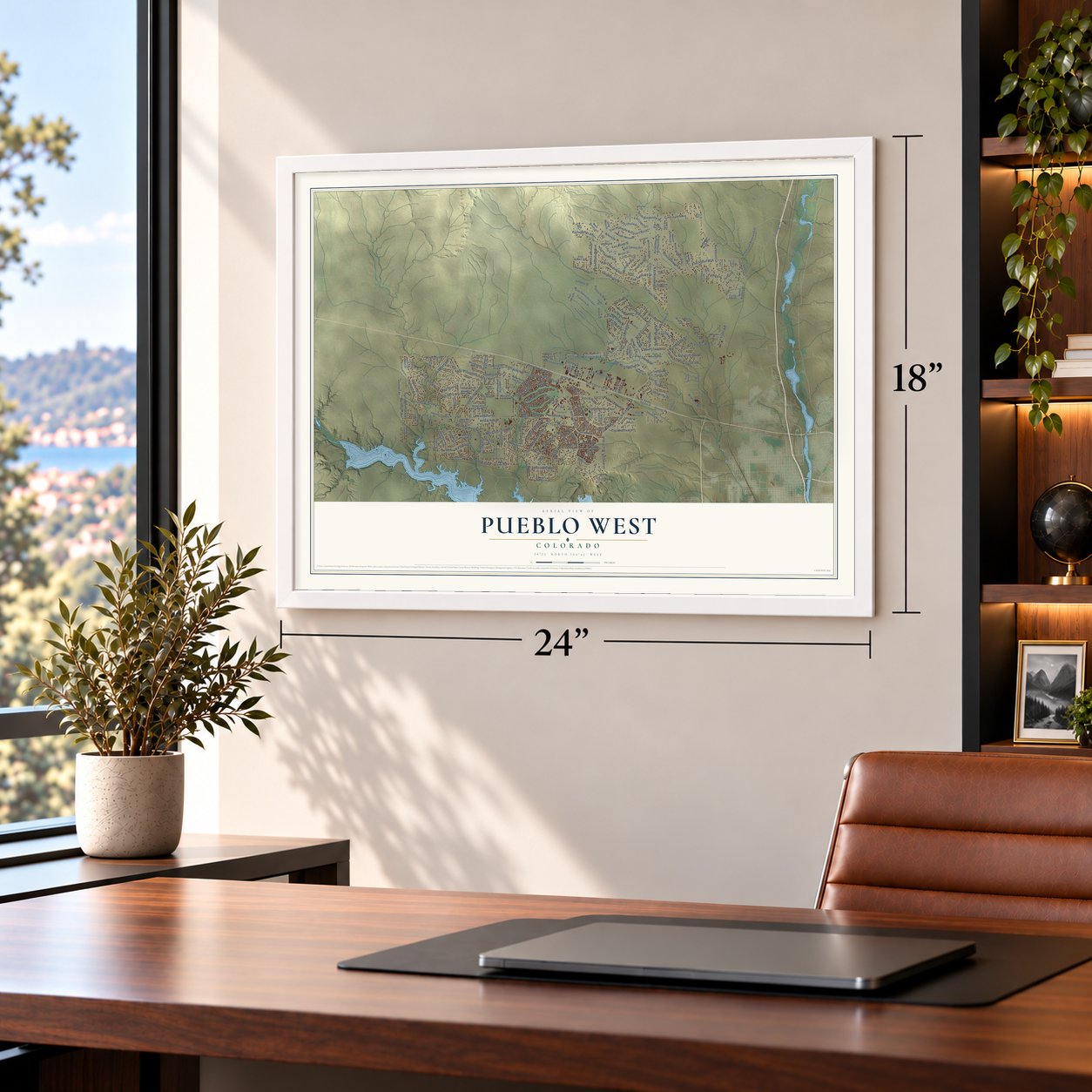
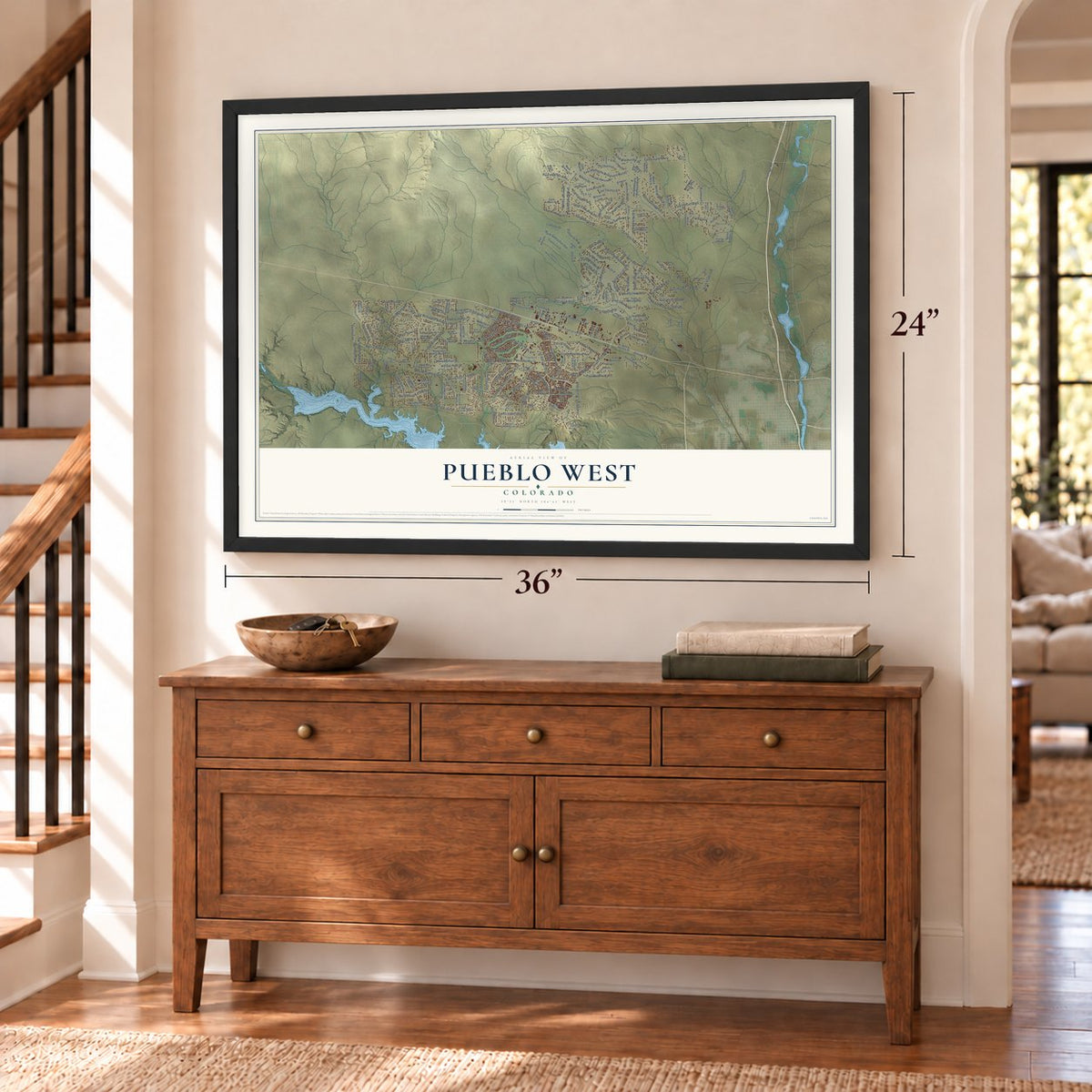
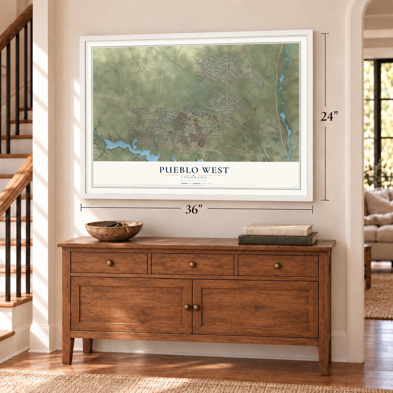
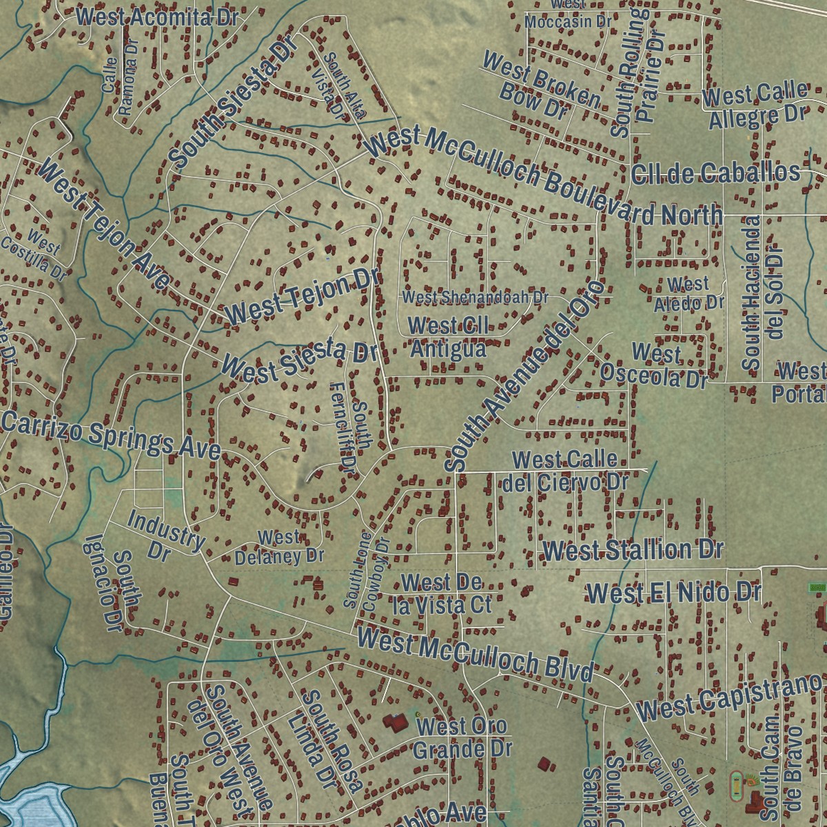
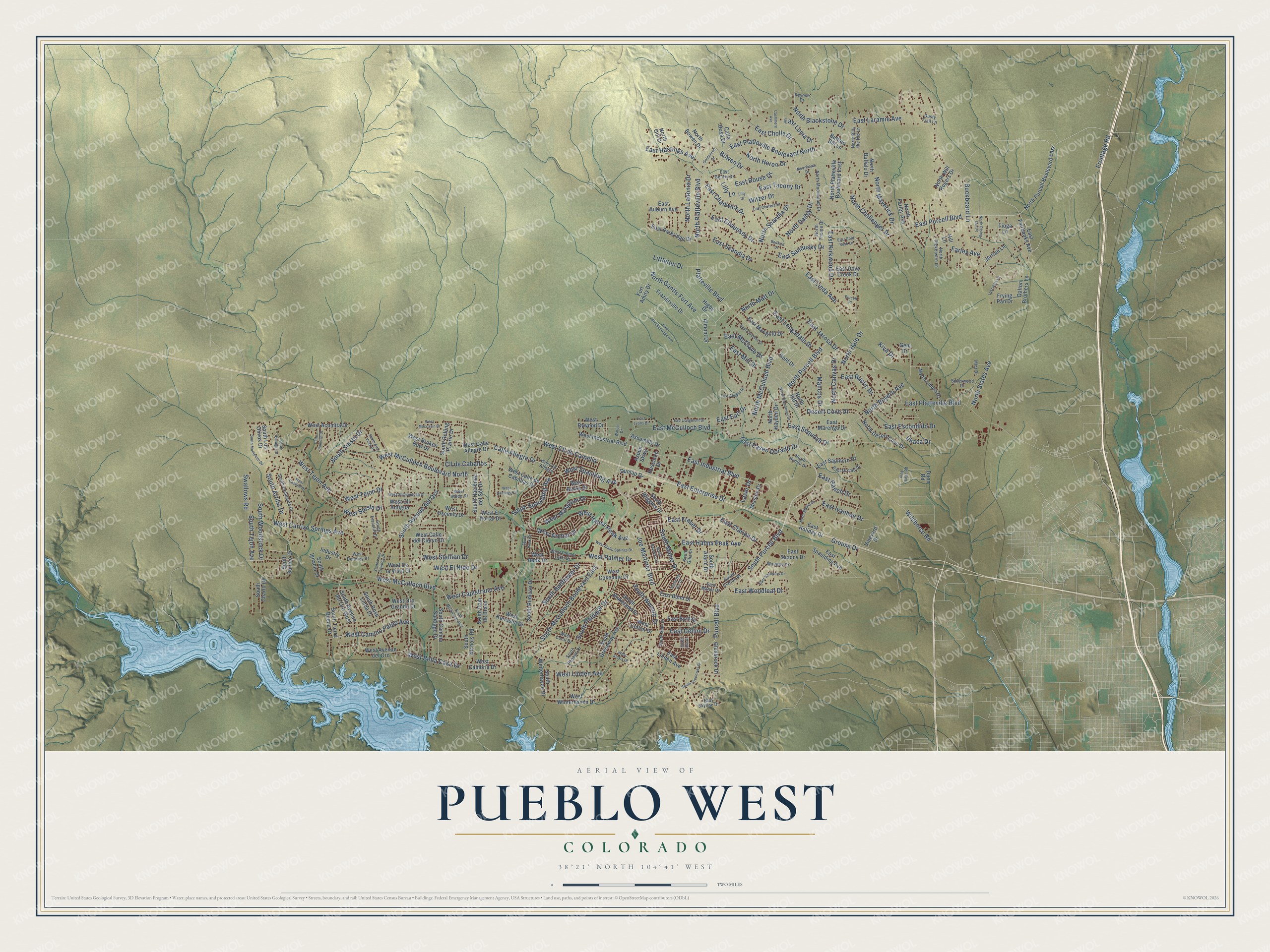
Explore Pueblo West, Colorado from a whole new perspective. Created using aerial imagery and detailed geographic data, this map captures Pueblo West building by building, with labeled streets, familiar landmarks, and shaded topographical relief that highlights the natural contours of the landscape.
Combining modern data with the timeless character of a vintage atlas, this map is just as interesting up close as it is beautiful on the wall. Whether you grew up in Pueblo West, spent memorable years there, or call it home today, this unique map is a great way to celebrate a place that means something to you. Zoom in on the preview to look for your street, and then order a print to put your memories on the wall.
Three ways to hang it
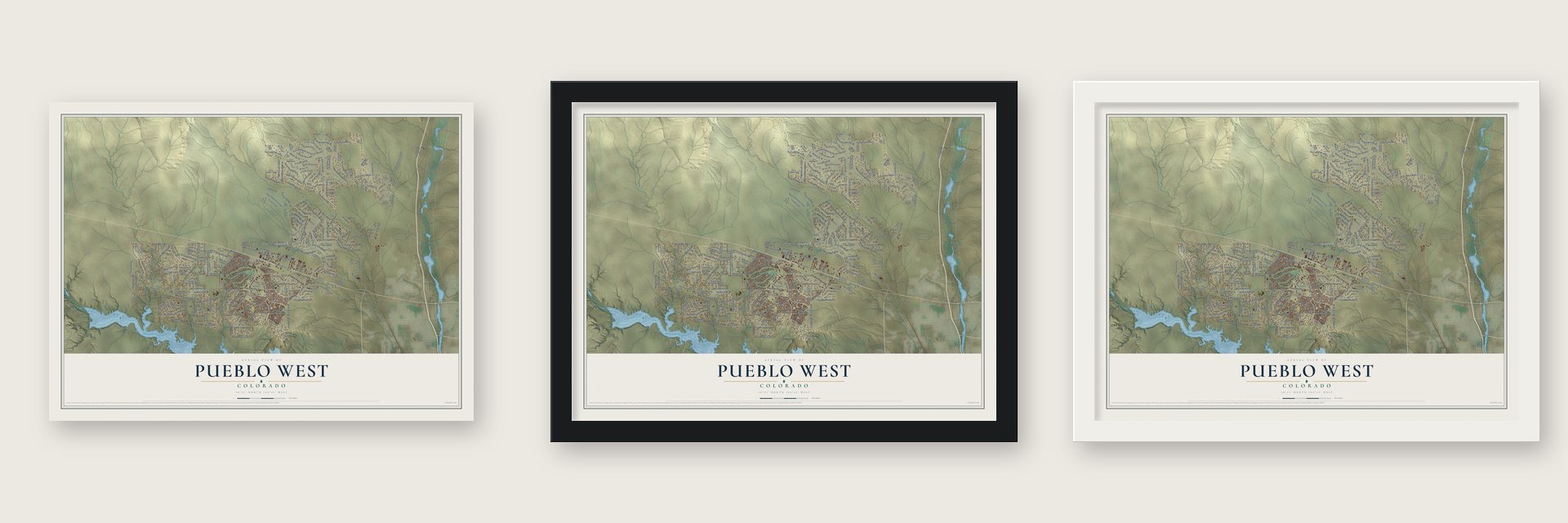
Unframed archival matte, a black wood frame or a white wood frame.
Up close
Geography Worth Displaying
This map was created using accurate cartographic data and authoritative geographic sources, including the U.S. Geological Survey and the Census Bureau. The map brings together terrain, waterways, roads, and building detail. The majority of the streets are labeled, houses are accurately depicted, and the topography is derived from government sources. Combining local data with carefully composed color and shading leads to this beautifully detailed Pueblo West artwork for your wall.
Rather than simply showing street outlines, we’ve included as many of the street names as we could reasonably fit on the map while keeping their names legible. Zoom in on the high resolution preview to see exactly what’s on the map. We truly set out to create a statement piece for anyone who loves Pueblo West. So whether it’s for you, or a gift for someone you love, we hope this map of Pueblo West brings back fond memories.
Read the story behind this map of Pueblo West, Colorado from 2026.

Find your street
Names on the Pueblo West map
Every name below is printed on this map. Look for your street, your school, the park where you played, or the pond down the road.
Streets and roads246
- North Purcell Boulevard
- South Purcell Boulevard
- East Purcell Boulevard
- East Platteville Boulevard North
- West McCulloch Boulevard North
- West Tejon Drive
- North Platteville Boulevard
- East Scandia Drive
- South Spaulding Avenue
- South Maher Drive
- Purcell Boulevard
- Farley Avenue
- West Tejon Avenue
- Platteville Boulevard
- East Industrial Boulevard
- North Blackstone Drive
- West Spaulding Avenue
- East Platteville Boulevard
- North Gantts Fort Avenue
- South McCulloch Boulevard East
- West McCulloch Boulevard
- North Matt Drive
- East Enterprise Drive
- Buckboard Lane
- North Boyero Avenue
- Swallows Road
- West Carrizo Springs Avenue
- East Hahns Peak Avenue
- Frontage Road
- North McCulloch Boulevard
Show all 246 streets
- East McCulloch Boulevard
- Desert Cove Drive
- East Laramie Avenue
- East Jaroso Drive
- South Avenue del Oro
- West Hahns Peak Avenue
- East Linda Avenue
- West Linden Avenue
- East Kirkwood Drive
- West Camino Pablo Avenue
- Cll de Caballos
- South Woodstock Drive
- West Cll de Camelia
- Littleton Drive
- East Longsdale Drive
- Joe Martinez Boulevard
- North Challenger Drive
- Calle Allegre Drive
- South Siesta Drive
- Grouse Drive
- North Heron Drive
- South Tejon Avenue
- Bowen Drive
- West Palmer Drive
- East Sequoya Drive
- North Ladonia Drive
- West Capistrano Avenue
- East Cholla Drive
- East Clarion Drive
- East Loma Drive
- North Dailey Drive
- East Escondido Drive
- West Siesta Drive
- Witzer Drive
- North States Avenue
- East Hastings Avenue
- South Bellflower Drive
- East Sandusky Drive
- East Paseo Dorado Drive
- East McClave Drive
- North Scandia Drive
- East Cellini Drive
- East Ivanhoe Drive
- West Archer Drive
- North Canvas Drive
- West Bella Casa Drive
- North Maverick Drive
- West Mangrum Drive
- East Woodleaf Drive
- East Chaunsey Drive
- East Chadwick Drive
- East Ranch Drive
- South Wolcott Drive
- East Rustic Drive
- South Arriba Drive
- South Palomar Drive
- East Rouse Drive
- Mancos Drive
- West Stallion Drive
- Wildhorse Road
- East Tacony Drive
- West El Nido Drive
- East Milt Drive
- East Earl Drive
- East Fraser Drive
- North Hale Drive
- Ithaca Drive
- Kiva Drive
- Laser Drive
- Lilly Lane
- North Platteville Boulevard East
- North Purcell Boulevard East
- East Fairbanks Avenue
- South Avenue del Oro West
- West Avenue del Oro
- South Wiggins Drive
- West Calle del Ciervo Drive
- South Tierra Buena Drive
- South Charlo Drive
- West Cellini Drive
- East Bond Drive
- East Spaulding Avenue
- South Greenway Avenue
- West Calle de Caballas Drive
- West Calle Allegre Drive
- Frazierville Drive
- North Bowen Drive
- North Iliff Drive
- East Holiday Drive
- Higby Drive
- East Saxony Drive
- South Hacienda del Sol Drive
- North Desert Cove Drive
- South Camino Santiago Drive
- East Marigold Drive
- South Cam de Bravo
- North Will Rogers Drive
- East Auburn Avenue
- West Industrial Boulevard
- West Winterhaven Drive
- South Blakeland Drive
- South Rolling Prairie Drive
- South Winterhaven Drive
- East Parkridge Drive
- South Nichols Road
- South Rosa Linda Drive
- West El Portal Drive
- East Marengo Drive
- West Acomita Drive
- West Oro Grande Drive
- South Rudioso Drive
- West Cokedale Drive
- East Sapinero Drive
- North Limon Drive
- East Byrd Drive
- West Kenosha Drive
- South Ignacio Drive
- West Broken Bow Drive
- West Osceola Drive
- West Cll Antigua
- Fort Amity Drive
- East Linden Avenue
- West Cambria Drive
- Glenbrook Drive
- Calle Rosa Drive
- Gold Drive
- Dalton Brothers Lane
- Assembly Drive
- South Galileo Drive
- South Alaric Drive
- West De la Vista Court
- North Farley Avenue
- West Burke Drive
- North Hayden Drive
- Research Drive
- East Dove Creek Drive
- Aspen Skwy
- North Buffalo Drive
- Vineyard Drive
- West Bywood Drive
- Frying Pan Drive
- South Los Olivos Drive
- Mission Drive
- Almont Drive
- Dunlap Drive
- Jerrian Lane
- Industry Drive
- West Hook Drive
- North Gill Drive
- Buffalo Bill Lane
- Gem Drive
- Tioga Lane
- Dunn Road
- Hill Lane
- West Cll Allegre
- West Palmer Lake Drive
- South Escalante Drive
- Keymar Drive
- North Thorpe Drive
- South Papago Drive
- South Clarion Drive
- North Moonbeam Drive
- West Coral Drive
- Mint Drive
- East Gentry Drive
- North Billy the Kid Lane
- East Orchid Drive
- Waverly Drive
- North Picketwire Lane
- South Ferncliff Drive
- South Gilia Drive
- South Saki Drive
- North Benito Drive
- West Delaney Drive
- Silverwood Drive
- East Skyline Drive
- East Maher Drive
- Dusty Trail Lane
- West Aledo Drive
- South McCulloch Boulevard
- West Idaho Springs Drive
- South Greenway Drive
- South Alta Vista Drive
- East Breckenridge Avenue
- East Paradise Drive
- West Moccasin Drive
- East Chelsea Drive
- West Shenandoah Drive
- South Montecito Drive
- East Longmont Drive
- North Glendevey Drive
- South Lone Cowboy Drive
- Cashmere Avenue
- East Saunders Drive
- West Domingo Drive
- North Blythe Drive
- West Alexis Drive
- South Hidalgo Drive
- East Abeyta Drive
- Lilly Drive
- Calle Ramona Drive
- Bedford Drive
- South Hook Drive
- East Lyons Drive
- North Rising Sun Place
- Goldenrod Drive
- Lost Hills Lane
- South Nathrop Drive
- West Costilla Drive
- Moonbeam Drive
- King Ridge Road
- East Gold Rush Lane
- Watusi Drive
- South Del Rio Drive
- Purcell Place
- South Silt Drive
Names are listed as they appear on the printed map. Zoom into the product photos to find them.
About Pueblo West, Colorado
Pueblo West is a community of 33,086 people in Pueblo County, west of the city of Pueblo. Ute and Comanche people once lived on this land, and later it was open rangeland where ranchers relied on water from the Arkansas River. Then Robert P. McCulloch, an oil man and land developer, arrived with a plan for a brand new city of 60,000 people. His company had already built Lake Havasu City in Arizona, and the Pueblo West Metropolitan District was formed on September 16, 1969.
To sell lots on the empty prairie, McCulloch built the Pueblo West Inn and treated buyers to a luxurious stay. In March 1970, Congressman Frank Evans of Colorado rose in the House to commend the planners and builders. By 1974 more than 2,000 people had moved in, and Pueblo West Elementary opened that fall with 200 students. The land sales had a dark side, though: McCulloch Properties admitted guilt in 1977, convicted of fraud for misleading buyers on a large scale.
- Ski wear on the prairieIn the new city's first year, a large ski wear company began building a plant here, meant to give jobs to 135 people. Aspen Skiwear was one of the businesses that used the wide plains in the 1970s.
- High school in 1996Nearly 4,500 people lived here by the early 1980s, so Pueblo West Middle School was built. A boom in the 1990s brought several new elementary schools, and Pueblo West High School opened in 1996.
- Lake Pueblo next doorLake Pueblo State Park runs along the southern edge of the community, with fishing, boating, water skiing, hiking and horseback riding. Through the Southern Delivery System, Pueblo West also joined an agreement to send water from the Pueblo Reservoir to Colorado Springs.
- Governed by a metro districtPueblo West has never become a city. A metropolitan district with a five member elected board handles fire protection, parks, public works and water, while Pueblo County provides the police and courts.
Keep exploring Colorado
Pueblo West is one of 550 Colorado towns we've mapped. Every dot on the map is a print of its own.
The search covers every state, Colorado first.
Near Pueblo West
Order 2 or more town maps and save 10%. Shown in the size and finish you picked above, so they hang as a set.
- Goodnight 12" x 18" / Archival Matte Print $39.99
- Pueblo 12" x 18" / Archival Matte Print $39.99
- Bessemer 12" x 18" / Archival Matte Print $39.99

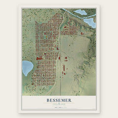
More maps nearby: Salt Creek, Blende, Penrose, Florence and Vineland.
The art of mapping a place
How This Map Was Made
Real places. Remarkable detail. Discover the layers that turn geographic data into a map of home.

The view from above
Aerial imagery reveals the character of the land: woodland, open fields, and the patterns of a place.

The shape of the land
Elevation data brings hills, valleys, and subtle changes in the landscape into view.

The details of home
Roads, waterways, and building footprints come together to make the map feel unmistakably local.

Geography becomes art
Considered color, shading, and typography bring the layers together in a map made for your wall.


Process illustrated with Mendon, Massachusetts. Aerial imagery: USDA NAIP. Terrain: USGS 3D Elevation Program. Map details and finished artwork: KNOWOL.
The Details
About This Print
Choose an archival matte print, or a black or white Ayous wood frame. The archival matte print is unframed.
Select your size and finish above to see the matching product image and price.
Materials & Craftsmanship
A contemporary map with the character of a classic atlas, printed on archival matte paper. Optional frames are made from Ayous wood.
Your printed map does not include the watermark shown in the full-map preview.
Shipping & Delivery
Free shipping within the United States. Every print is made to order in the USA.
Buying a gift? Add a note in your cart and we'll include it. We never put prices in the package.
Prints ship within 2 to 3 business days. Allow 7 to 10 days total from ordering for delivery. Timing may vary during holidays or periods of high order volume.
Read our shipping policy.
Returns and damaged prints
Each print is made to order. Change-of-mind refunds are not available after production.
If your print arrives damaged, misprinted or incorrect, contact support@knowol.com within 30 days of receiving it. Include your order number, photos and a description of the issue.
Read our full refund and replacement policy. For questions about your order, email support@knowol.com.