
Search for another town


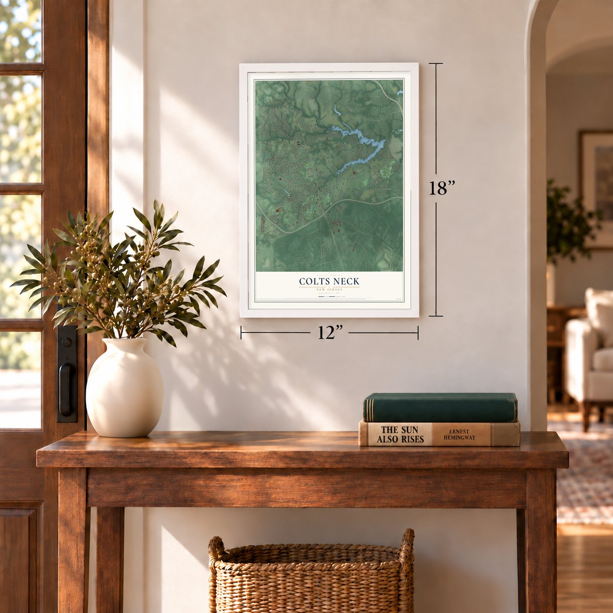
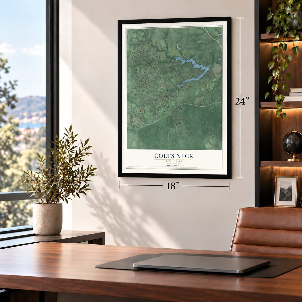
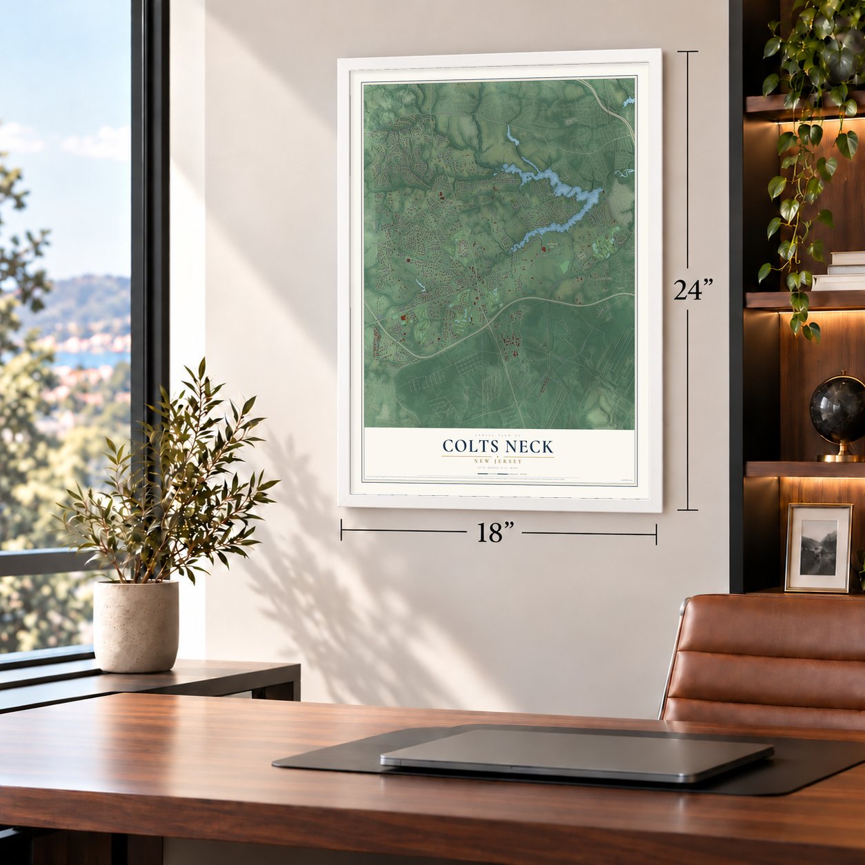
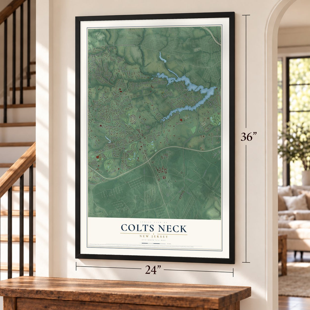

Free U.S. delivery 7 to 10 days after you order
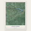
Colts Neck, New Jersey Map Art
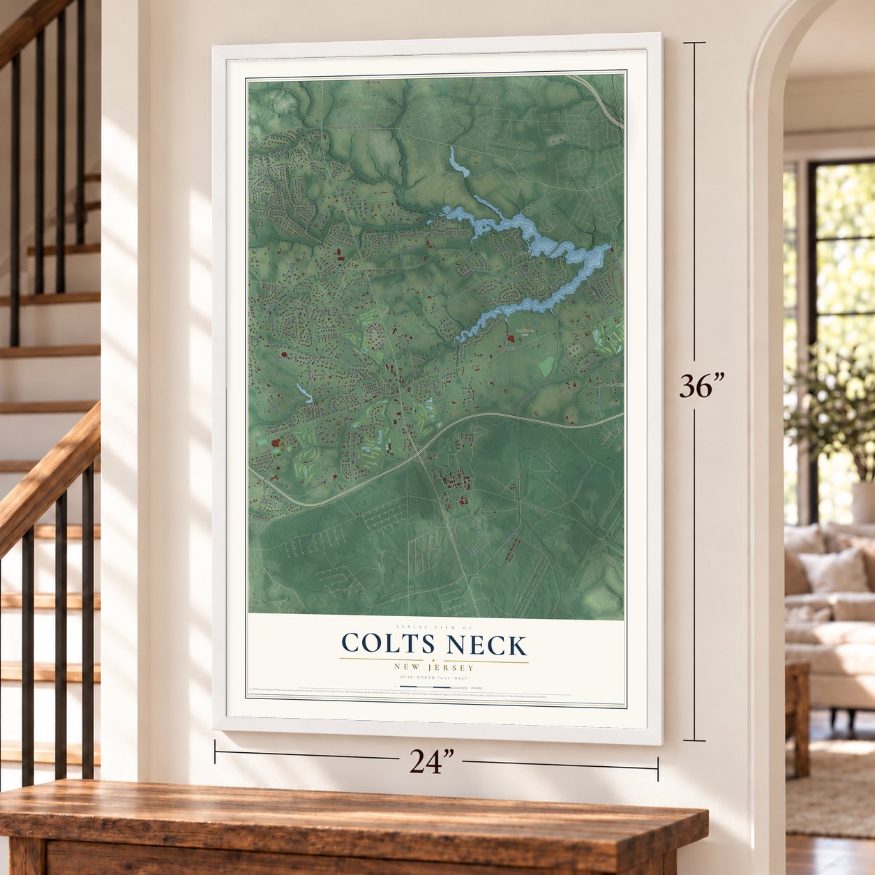
A new map of Colts Neck, New Jersey, made in 2026 and printed to order on thick archival matte paper.
12" x 18" Archival Matte Print
A Map of Home. A Work of Art.
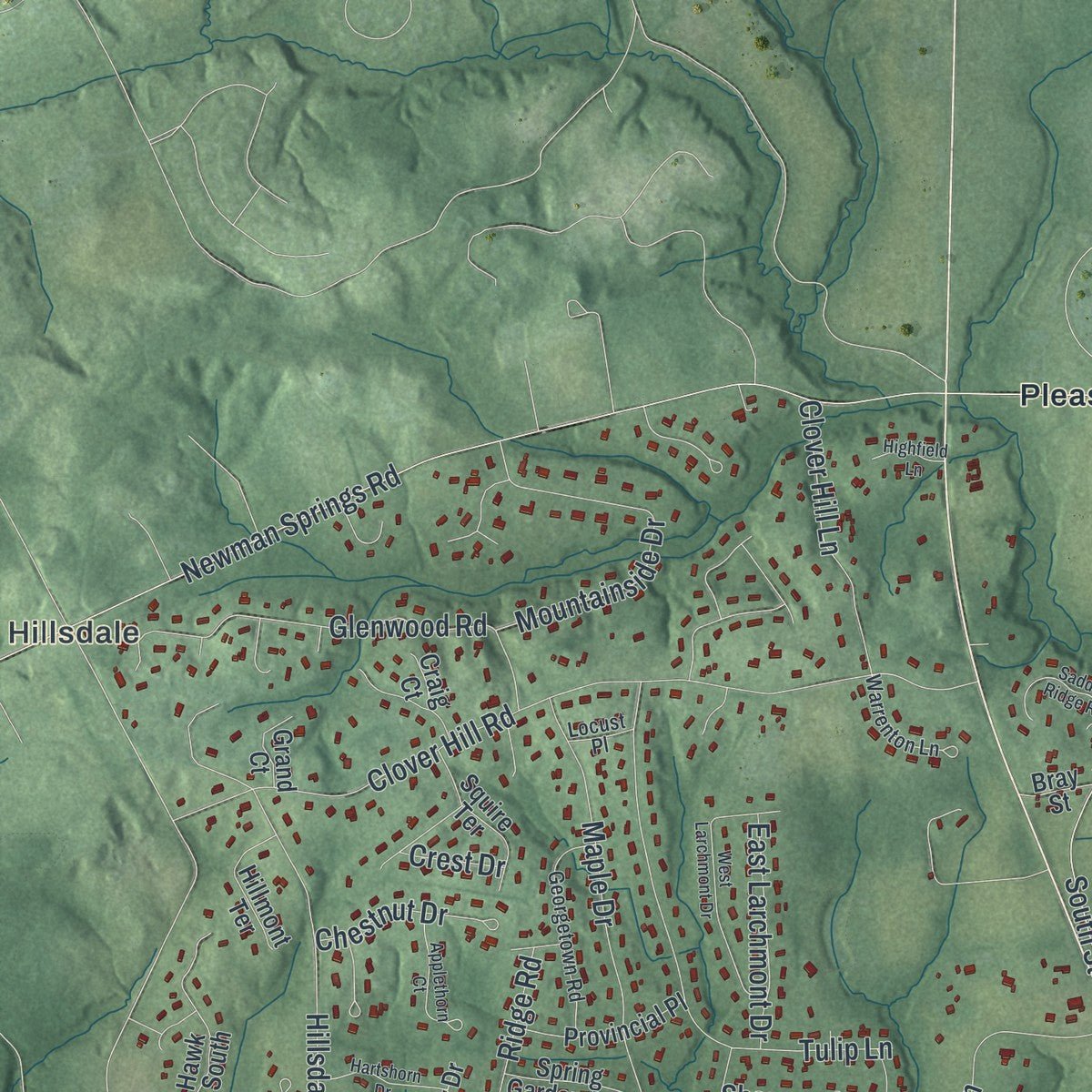
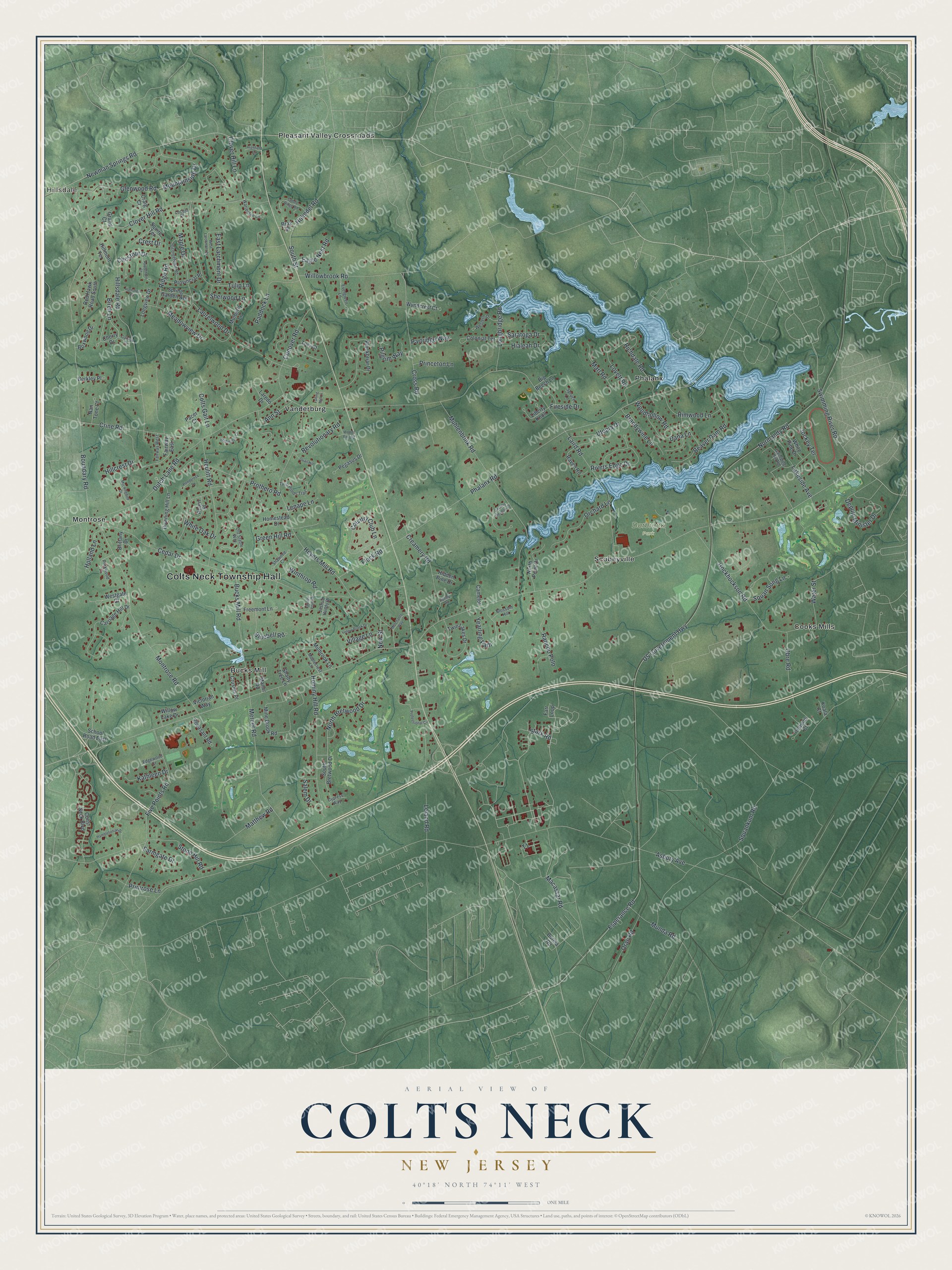
Explore Colts Neck, New Jersey from a whole new perspective. Created using aerial imagery and detailed geographic data, this map captures Colts Neck building by building, with labeled streets, familiar landmarks, and shaded topographical relief that highlights the natural contours of the landscape.
Combining modern data with the timeless character of a vintage atlas, this map is just as interesting up close as it is beautiful on the wall. Whether you grew up in Colts Neck, spent memorable years there, or call it home today, this unique map is a great way to celebrate a place that means something to you. Zoom in on the preview to look for your street, and then order a print to put your memories on the wall.
Three ways to hang it
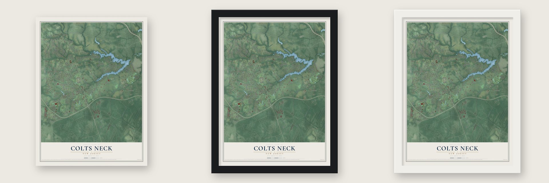
Unframed archival matte, a black wood frame or a white wood frame.
Up close
Geography Worth Displaying
This map was created using accurate cartographic data and authoritative geographic sources, including the U.S. Geological Survey (USGS) and FEMA. The map brings together terrain, waterways, roads, and building detail. The majority of the streets are labeled, houses are accurately depicted, and the topography is derived from government sources. Combining local data with carefully composed color and shading leads to this beautifully detailed Colts Neck artwork for your wall.
Rather than simply showing street outlines, we’ve included as many of the street names as we could reasonably fit on the map while keeping their names legible. Zoom in on the high resolution preview to see exactly what’s on the map. We truly set out to create a statement piece for anyone who loves Colts Neck. So whether it’s for you, or a gift for someone you love, we hope this map of Colts Neck brings back fond memories.
Explore the full map of Colts Neck, New Jersey and read about the local places it shows.
About Colts Neck, New Jersey
Colts Neck is a township of 9,957 people in Monmouth County. The Lenni Lenape hunted this land and made wampum from shells found near what is now Obre Road. In 1676 Henry Leonard bought 205 acres called "ColtsNeek" from two Lenape men, Amesse and Landsand. Families such as the Matthews and Van Maters followed, clearing farms, building mills and digging marl from the stream banks to fertilize their fields.
After the Battle of Monmouth in 1778, the British army retreated through the area, robbing farms along the way and stopping to rest at the tavern in Colts Neck. That October the tavern's owner, the widow Catherine Hart, married Captain Joshua Huddy, a local Patriot. In 1780 he and Lucretia Edmonds defended his house against Loyalist raiders for two hours before he was taken prisoner. Loyalist Refugees held him again in 1782 and hanged him near Sandy Hook, and the killing caused an outrage that reached General Washington.
- Atlantic Township in 1847The New Jersey Legislature created the township on February 18, 1847, from parts of Freehold, Middletown and Shrewsbury, and called it Atlantic Township. Voters held their first town meeting on March 9 at Samuel Laird's hotel, with Thomas G. Haight as moderator and Tunis Statesir as town clerk. The township kept that name until a referendum on November 6, 1962, made it Colts Neck Township.
- License No. 1 for applejackLaird & Company, in Scobeyville, got the U.S. Treasury's first distillery license in 1780. The family descends from William Laird, who left Scotland in 1698, and Robert Laird fought under George Washington, who wanted his recipe for "cyder spirits." A fire in 1850 moved the distillery from Colts Neck to Scobeyville, and distilling here stopped in 1972. Today the apples are picked and distilled in Virginia, and the spirit comes back to Scobeyville for aging, blending and bottling.
- The North American PhalanxFrom 1843 to 1856 a utopian community based on the ideas of French philosopher Charles Fourier farmed land here, with backing from Albert Brisbane and editor Horace Greeley. It lasted longer than any other of the roughly 30 Fourierist groups of the 1840s and sold the first boxed cereal. A fire ended it, and its three-story main house sat vacant until fire destroyed it in 1972. The village of Phalanx, by the Swimming River Reservoir, keeps the name.
- Mills on the brooksBucks Mill went up in 1854 and used water from the Yellow Brook to grind grain, and William, Alfred and Garrett Buck ran it for years. Fire destroyed the mill on October 30, 1967, yet the watermill survives next to Bucks Mill Road. Heyer's Mill, from about 1800, was another large milling site, and a flood there in 1902 killed four workers.
- Nebraska, taped in a bedroomBruce Springsteen rented a ranch house in Colts Neck in September 1981. Working by himself in the bedroom with a four-track tape machine, he recorded the songs that became Nebraska, and the album came out in September 1982 exactly as he had taped them.
Find your street
Names on the Colts Neck map
Every name below is printed on this map. Look for your street, your school, the park where you played, or the pond down the road.
Places and landmarks10
- Colts Neck Township Hall
- Hillsdale
- Dorbrook Park
- Bucks Mill
- Cooks Mills
- Montrose
- Phalanx
- Pleasant Valley Crossroads
- Scobeyville
- Vanderburg
Streets and roads186
- Stark Road
- Normandy Road
- Esperance Road
- Swimming River Road
- Phalanx Road
- Boundary Road
- Asbury Avenue
- US Government Highway
- Laird Road
- Heyers Mill Road
- Cedar Drive
- Muhlenbrink Road
- Montrose Road
- Crine Road
- Hillsdale Road
- Macassar Road
- Newman Springs Road
- Clover Hill Road
- Hockhockson Road
- Leland Road
- Five Points Road
- Conover Road
- Stone Hill Road
- Squankum Road
- Mercer Road
- Matthew Road
- Dutch Lane Road
- Hominy Hill Road
- Cross Road
- Heulitt Road
Show all 186 streets
- Tulip Lane
- Maple Drive
- Bucks Mill Road
- Laurelwood Drive
- North Bretwood Drive
- Glenwood Road
- Willowbrook Road
- Beaver Dam Road
- Deputy Minister Drive
- Obre Road
- Rivers Edge Drive
- Lakeside Avenue
- Country Club Lane
- Munda Road
- Creamery Road
- Mountainside Drive
- White Oak Drive
- Woodhollow Road
- Holmdel Road
- South Street
- Yearling Path
- Orchard Lane
- Rancho Polo
- Prothero Road
- Meadowview Drive
- Paddock Lane
- Rimwood Lane
- Longbridge Road
- Hillcrest Drive
- Lovett Road
- Richdale Road
- Primrose Lane
- Brandywine Lane
- Clover Hill Lane
- Flock Road
- Holland Lane
- Jockey Terrace
- Saratoga Drive
- Dana Lane
- Revolutionary Road
- Utopia Drive
- Marl Road
- Bluebell Road
- Water Street
- East Larchmont Drive
- Birch Lane
- Pilgrim Way
- Chestnut Drive
- Oran Road
- Ann Street
- Squan Song Lane
- Winthrop Road
- Kathleen Drive
- Ridge Road
- Eagle Nest Road
- Colts Gait Lane
- Partridge Way
- Hialeah Drive
- Green Hill Road
- Farmgate Drive
- Princeton Lane
- Village Lane
- Sherwood Lane
- Salem Drive
- Lenape Lane
- Fireside Drive
- New Street
- Crest Drive
- Mine Brook Road
- Blackbriar Drive
- Carriage Hill Drive
- Mulberry Lane
- Twin Lakes Drive
- Colts Neck Boulevard
- Cherry Drive
- North Point Drive
- Colonial Terrace
- Westgate Court
- Downing Hill Lane
- Fairway East
- South Bretwood Drive
- Raven Road
- Wyndcrest Court
- Willow Lake Drive
- Provincial Place
- Pegasus Drive
- Homestead Drive
- School Road East
- Red Hawk Road South
- Squire Terrace
- Shady Tree Lane
- Freemont Lane
- Acorn Place
- Boxwood Drive
- Hillmont Terrace
- Millbrook Lane
- Longview Drive
- Pheasant Road
- Spring Garden Avenue
- Manor Road
- Nan Tone Court
- Laredo Drive
- Victorian Way
- White Pine Drive
- Crusius Place
- Liberty Knoll
- Farr Loop
- Brittany Drive
- Big Beech Lane
- Hidden Pine Drive
- Berkley Place
- Iroquois Court
- Camelot
- Grand Court
- Burma Road
- Pacer Court
- Bray Street
- Koala Court
- Tory Court
- Craig Court
- Georgetown Road
- Old Stable Way
- Twin Ponds Trail
- Galloping Hill Road
- Western Drive
- Evergreen Lane
- Shawnee Court
- Warrenton Lane
- Parkwood Lane
- Fairway West
- Maplecrest Lane
- Edgewood Court
- Blossom Hill
- Joshua Huddy Drive
- Cypress Way
- Spruce Lane
- Locust Place
- Country Meadow Drive
- Yellow Brook Drive
- West Larchmont Drive
- Hambletonian Drive
- Woods End Road
- Professional Circle
- Goose Point Drive
- Saddle Ridge Road
- Applethorn Court
- Wellington Court
- Hartshorn Drive
- Mockingbird Drive
- Ponderosa Drive
- Merchants Way
- Fulling Mill Lane
- Quail Hill
- Highfield Lane
- Gaitway Drive
- Holling Road
Names are listed as they appear on the printed map. Zoom into the product photos to find them.
The art of mapping a place
How This Map Was Made
Real places. Remarkable detail. Discover the layers that turn geographic data into a map of home.

The view from above
Aerial imagery reveals the character of the land: woodland, open fields, and the patterns of a place.

The shape of the land
Elevation data brings hills, valleys, and subtle changes in the landscape into view.

The details of home
Roads, waterways, and building footprints come together to make the map feel unmistakably local.

Geography becomes art
Considered color, shading, and typography bring the layers together in a map made for your wall.


Process illustrated with Mendon, Massachusetts. Aerial imagery: USDA NAIP. Terrain: USGS 3D Elevation Program. Map details and finished artwork: KNOWOL.
The Details
About This Print
Choose an archival matte print, or a black or white Ayous wood frame. The archival matte print is unframed.
Select your size and finish above to see the matching product image and price.
Materials & Craftsmanship
A contemporary map with the character of a classic atlas, printed on archival matte paper. Optional frames are made from Ayous wood.
Your printed map does not include the watermark shown in the full-map preview.
Shipping & Delivery
Free shipping within the United States. Every print is made to order in the USA.
Buying a gift? Add a note in your cart and we'll include it. We never put prices in the package.
Prints ship within 2 to 3 business days. Allow 7 to 10 days total from ordering for delivery. Timing may vary during holidays or periods of high order volume.
Read our shipping policy.
Returns and damaged prints
Each print is made to order. Change-of-mind refunds are not available after production.
If your print arrives damaged, misprinted or incorrect, contact support@knowol.com within 30 days of receiving it. Include your order number, photos and a description of the issue.
Read our full refund and replacement policy. For questions about your order, email support@knowol.com.
Find your town
Looking for another city?
Find a map of home in our New Jersey collection, or any town in the country.
Nearby
Maps of towns near Colts Neck
Know someone from one of these towns? Their map makes a great gift.
 Lincroft
, New Jersey
From $39.99See the map
 East Freehold
, New Jersey
From $39.99See the map
 Tinton Falls
, New Jersey
From $39.99See the map
More maps nearby: Shrewsbury, Holmdel, Marlboro, Eatontown and Borough of Freehold.