
Search for another town




Free U.S. delivery 7 to 10 days after you order
Columbus, Indiana Map Art
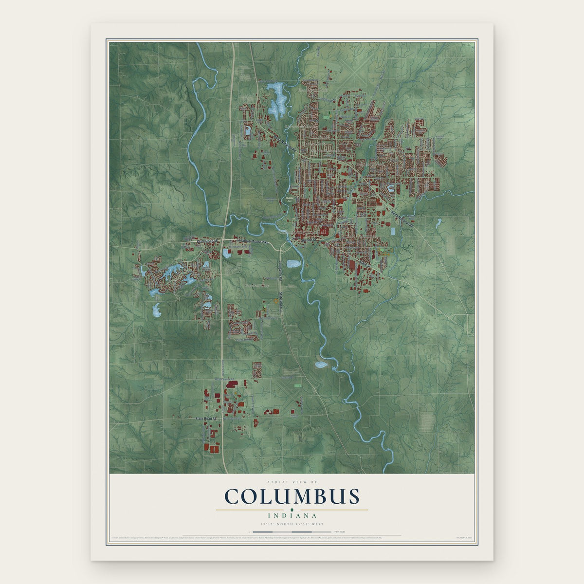
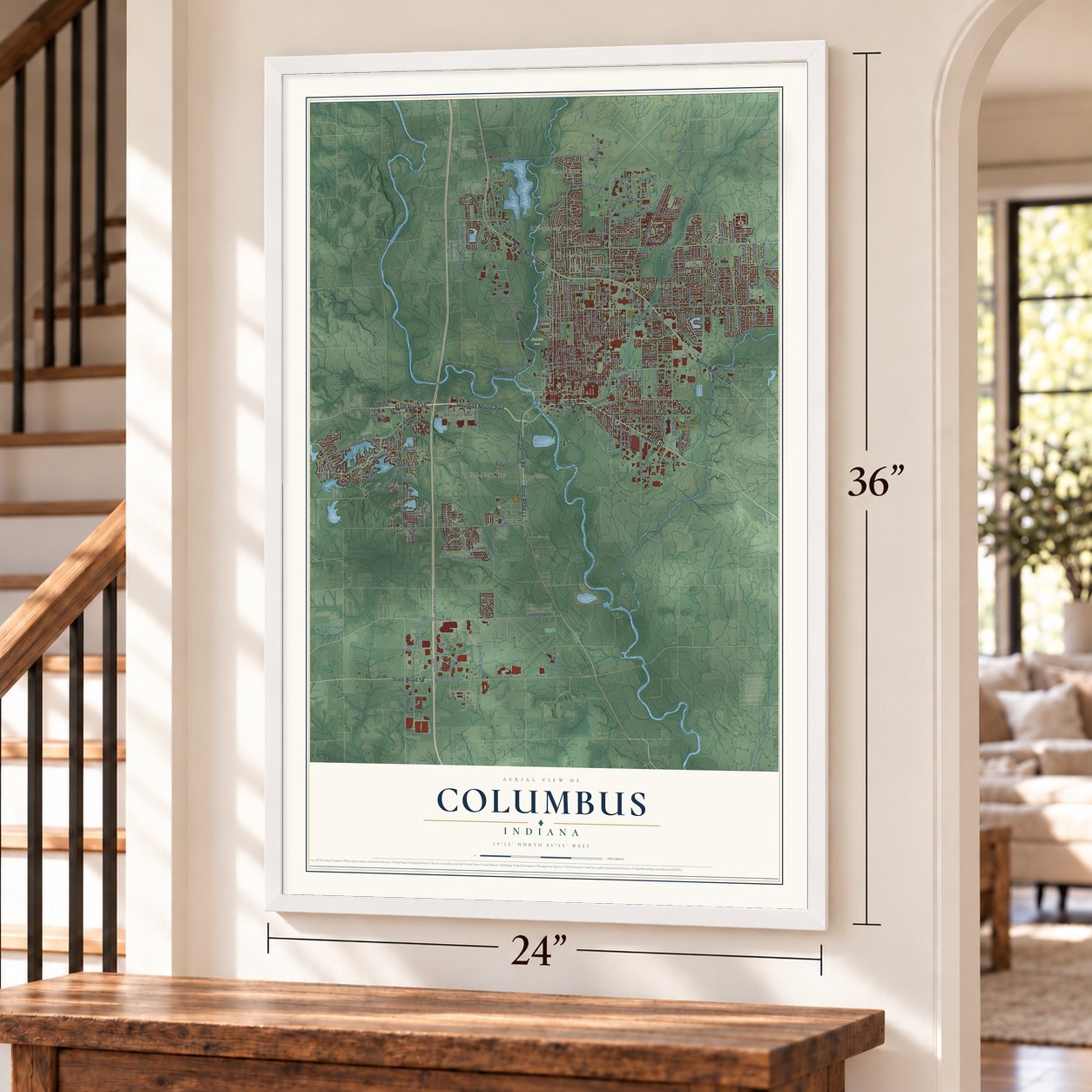
A new map of Columbus, Indiana, made in 2026 and printed to order on thick archival matte paper.
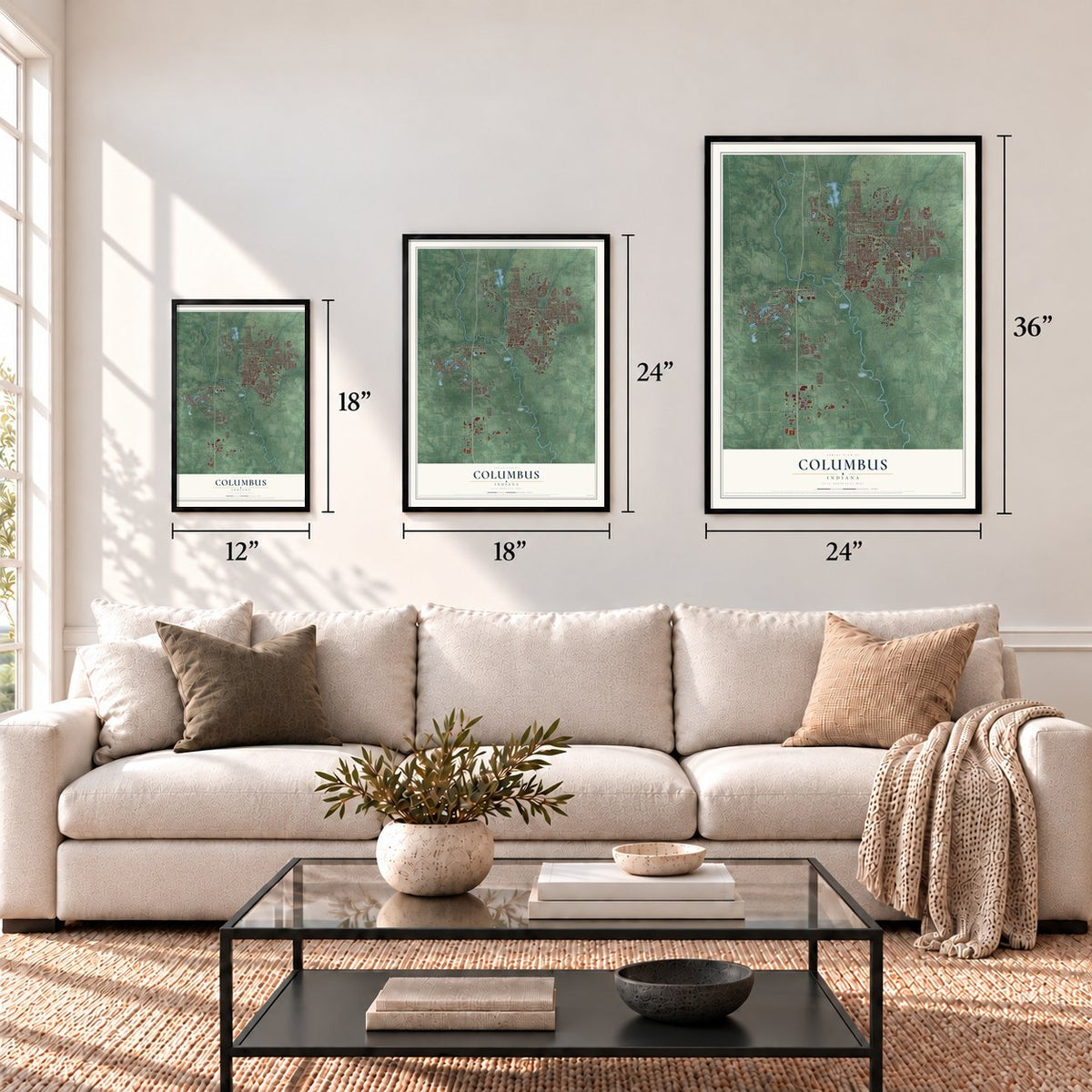
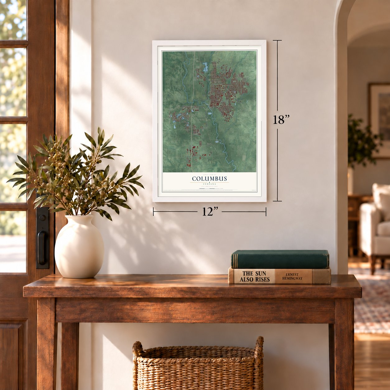
12" x 18" Archival Matte Print
A Map of Home. A Work of Art.
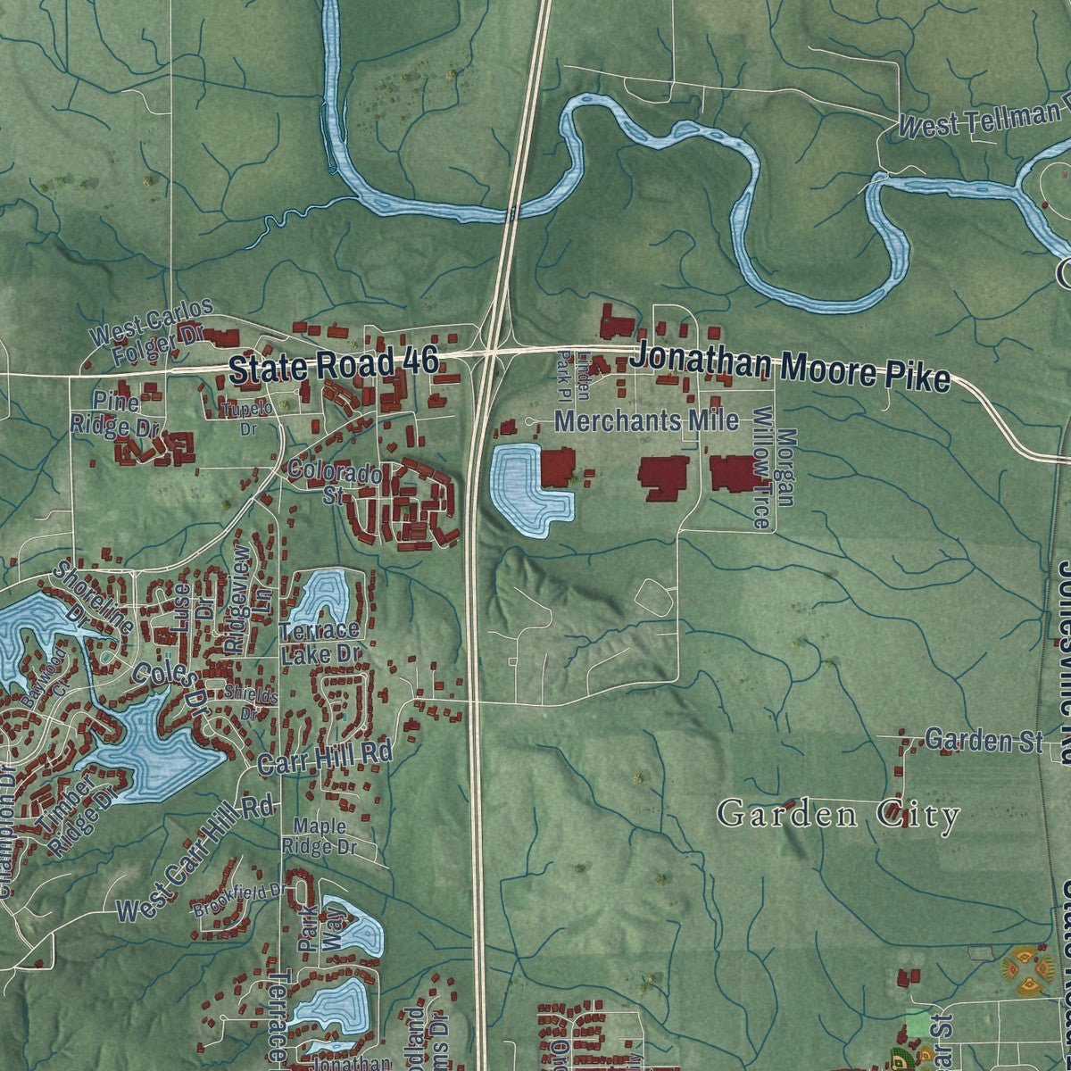
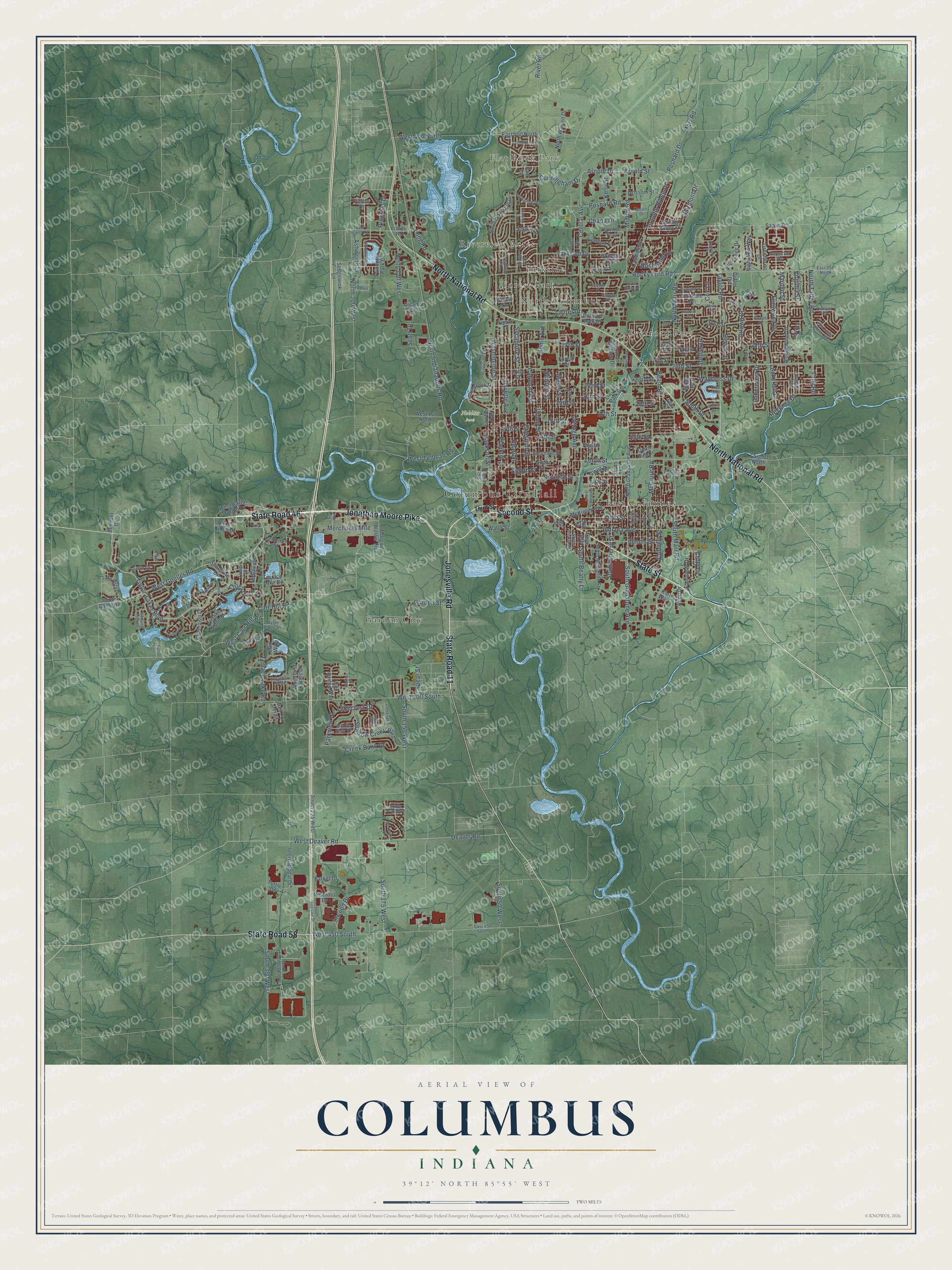
This beautifully detailed map of Columbus, Indiana was created in 2026 using aerial imagery combined with modern topographical, census, street and landmark data. It's a modern aerial view of Columbus in Bartholomew County, Indiana, that combines modern data with a vintage aesthetic. Zoom in on the preview and look for your block.
Three ways to hang it
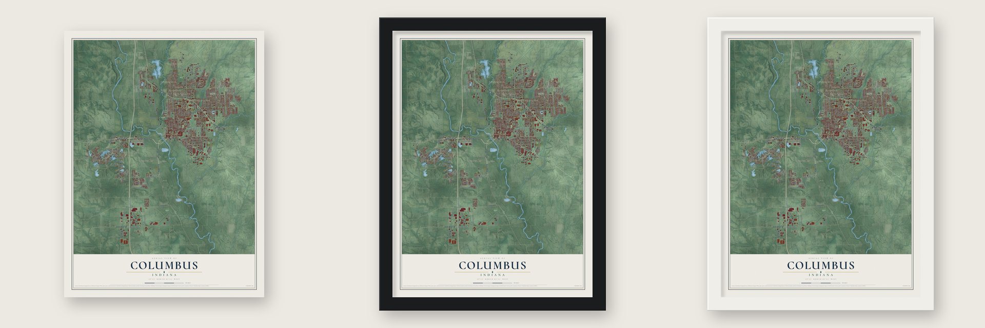
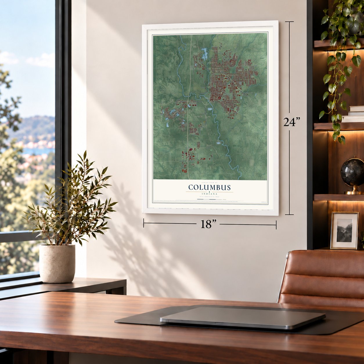
Unframed archival matte, a black wood frame or a white wood frame.
Up close
Real geography. Art worth displaying.
This map was created using accurate cartographic data and authoritative geographic sources, including the U.S. Geological Survey and the Census Bureau. The map brings together terrain, waterways, roads, and building detail. The majority of the streets are labeled, houses are accurately depicted, and the topography is derived from government sources. Combining local data with carefully composed color and shading leads to this beautifully detailed Columbus artwork for your wall.
Rather than simply showing street outlines, we’ve included as many of the street names as we could reasonably fit on the map while keeping their names legible. Zoom in on the high resolution preview to see exactly what’s on the map. We truly set out to create a statement piece for anyone who loves Columbus. So whether it’s for you, or a gift for someone you love, we hope this map of Columbus brings back fond memories.
Read the story behind this map of Columbus, Indiana from 2026.

Find your street
Names on the Columbus map
Every name below is printed on this map. Look for your street, your school, the park where you played, or the pond down the road.
Places and landmarks10
- Columbus City Hall
- Flat Rock Park
- Noblitt Park
- East Columbus
- Everroad Park
- Forest Park
- Garden City
- North Columbus
- Parkside
- Riverview Acres
Streets and roads254
- State Road 46
- Jonathan Moore Pike
- Jonesville Road
- State Street
- North National Road
- State Road 11
- State Road 58
- Second Street
- Tipton Lakes Boulevard
- Deaver Road
- Central Avenue
- West Carr Hill Road
- Carr Hill Road
- 25th Street
- West Goeller Road
- Arnold Street
- Coles Drive
- Junco Drive
- West 200 South
- South Gladstone Avenue
- North Marr Road
- Washington Street
- Rocky Ford Road
- North Indianapolis Road
- Tenth Street
- River Road
- Taylor Road
- 17th Street
- Lafayette Avenue
- Franklin Street
Show all 254 streets
- South 300 West
- Middle Road
- California Street
- Chestnut Street
- West 450 South
- Poshard Drive
- Indiana Avenue
- Terrace Lake Road
- Sycamore Street
- 19th Street
- 15th Street
- Parkside Drive
- 22nd Street
- Eighth Street
- Seventh Street
- 14th Street
- 13th Street
- West Deaver Road
- South Marr Road
- Union Street
- Long Road
- Pearl Street
- Maple Street
- Marr Road
- Cottage Avenue
- North Talley Road
- North 150 West
- 16th Street
- 23rd Street
- Home Avenue
- 27th Street
- North 200 West
- South Beatty Lane
- Jackson Street
- Fairlawn Drive
- Shadow Creek Boulevard
- McClure Road
- South 175 West
- Garden Street
- South 50 West
- Lakecrest Drive
- Inwood Drive
- 31st Street
- Creek Bank Drive
- Arnold Drive
- Flintwood Drive
- 18th Street
- West 400 North
- Poshard Road
- Waycross Drive
- Beam Road
- Ohio Street
- Regency Drive
- 29th Street
- Beech Drive
- Clifty Lane
- Timbercrest Drive
- Rosewood Lane
- 20th Street
- Illinois Street
- Spear Street
- Merchants Mile
- Autumn Ridge Drive
- South Cherry Street
- South 150 West
- Newton Street
- West Tellman Road
- Chapa Drive
- Cunningham Drive
- Ashworth Lane
- Clairmont Drive
- Parkview Drive
- Lockerbie Drive
- Coovert Street
- South Drive
- Progress Drive
- Fairview Drive
- Laurel Drive
- Kelly Street
- Marilyn Street
- Virginia Street
- Tally Road
- Jordan Drive
- Cox Lane
- Irwin Drive
- Scott Drive
- Shoreline Drive
- Brown Street
- Youth Camp Road
- Berkdale Drive
- Water Street
- McKinley Avenue
- Eleventh Street
- North Riverside Drive
- Twelfth Street
- North Gladstone Avenue
- Sixth Street
- International Drive
- Ninth Street
- South 225 West
- South Mapleton Street
- Norcross Drive
- North Warren Drive
- 24th Street
- West Carlos Folger Drive
- 26th Street
- 21st Street
- Terrace Lake Drive
- Morgan Willow Trce
- Smith Street
- Lincoln Park Drive
- Victory Drive
- Tipton Lane
- Grissom Street
- Sawin Drive
- Wild Orchid Way
- High View Way
- Champion Drive
- Pawnee Trail
- Princeton Park Drive
- East 400 North
- Woodland Farms Drive
- Pine Ridge Drive
- Wedgewood Drive
- Shoshonee Drive
- Lowell Road
- West 100 North
- Candlelight Drive
- Iroquois Trail
- Herman Darlage Drive
- Spring Valley Drive
- Timber Ridge Drive
- Greenbriar Drive
- East 50 North
- Forest Drive
- Sedgewick Lane
- Par 3 Drive
- Imperial Drive
- Hege Avenue
- Flatrock Drive
- Belmont Drive
- Lawton Avenue
- Park Way
- Ridgeview Lane
- Villa Drive
- Doctors Park Drive
- Hiker Trce
- Quail Run Drive
- Acorn Drive
- Barker Drive
- Colorado Street
- Arcadia Drive
- Red Fox Trail
- Luse Drive
- 28th Street
- Kiel Way
- Repp Drive
- Pinion Court
- Duffer Drive
- Willow Lane
- Oak Street
- Lee Street
- Tuttle Drive
- Reo Street
- Park Lane
- Third Street
- Riverside Drive
- Oriole Drive
- South International Drive
- Cessna Drive
- Pavilion Drive
- Pinewood Drive
- Lake Vista Drive
- Jonathan Ridge
- Fairfax Drive
- Maple Ridge Drive
- Peregrine Drive
- East 450 South
- Middle View Drive
- Crump Lane
- Woodfield Place
- Sumpter Trail
- Bridle Way Boulevard
- Forsythia Drive
- Chapel Drive
- East 250 North
- Pioneer Place
- South Beatty Street
- Plum Court
- Tupelo Drive
- Cottonwood Drive
- Hawcreek Boulevard
- West Lowell Road
- South Interlake Drive
- Bunting Lane
- Westminster Place
- Brookfield Drive
- Foxpointe Drive
- Saddle Drive
- Treeline Drive
- Pleasant Grove
- East Prairie Stream Way
- Westview Point Drive
- Richland Drive
- North Brooks Street
- North Ross Street
- Hillcrest Drive
- Creekridge Court
- Tipton Pointe Court
- Smoketree Drive
- Keystone Place
- Shields Drive
- Kennedy Drive
- Rolling Hill Drive
- Arrowood Drive
- Linden Park Place
- Baywood Court
- Cedar Ridge Drive
- 32nd Street
- Misty Drive
- Daylily Drive
- Abbey Lane
- Cove Road
- The Cape
Names are listed as they appear on the printed map. Zoom into the product photos to find them.
The art of mapping a place
How This Map Was Made
Real places. Remarkable detail. Discover the layers that turn geographic data into a map of home.

The view from above
Aerial imagery reveals the character of the land: woodland, open fields, and the patterns of a place.

The shape of the land
Elevation data brings hills, valleys, and subtle changes in the landscape into view.

The details of home
Roads, waterways, and building footprints come together to make the map feel unmistakably local.

Geography becomes art
Considered color, shading, and typography bring the layers together in a map made for your wall.


Process illustrated with Mendon, Massachusetts. Aerial imagery: USDA NAIP. Terrain: USGS 3D Elevation Program. Map details and finished artwork: KNOWOL.
The Details
About This Print
Choose an archival matte print, or a black or white Ayous wood frame. The archival matte print is unframed.
Select your size and finish above to see the matching product image and price.
Materials & Craftsmanship
A contemporary map with the character of a classic atlas, printed on archival matte paper. Optional frames are made from Ayous wood.
Your printed map does not include the watermark shown in the full-map preview.
Shipping & Delivery
Free shipping within the United States. Every print is made to order in the USA.
Buying a gift? Add a note in your cart and we'll include it. We never put prices in the package.
Prints ship within 2 to 3 business days. Allow 7 to 10 days total from ordering for delivery. Timing may vary during holidays or periods of high order volume.
Read our shipping policy.
Returns and damaged prints
Each print is made to order. Change-of-mind refunds are not available after production.
If your print arrives damaged, misprinted or incorrect, contact support@knowol.com within 30 days of receiving it. Include your order number, photos and a description of the issue.
Read our full refund and replacement policy. For questions about your order, email support@knowol.com.
Find your town
Looking for another city?
Find a map of home in our Indiana collection.
Nearby
Maps of towns near Columbus
Know someone from one of these towns? Their map makes a great gift.
 Bethel Village
, Indiana
From $39.99See the map
 Walesboro
, Indiana
From $39.99See the map
 Petersville
, Indiana
From $39.99See the map
More maps nearby: Harrison Lake, Clifford, Mineral Springs, Taylorsville and Waynesville.