
Search for another town



Free U.S. delivery 7 to 10 days after you order
Coon Rapids, Minnesota Map Art
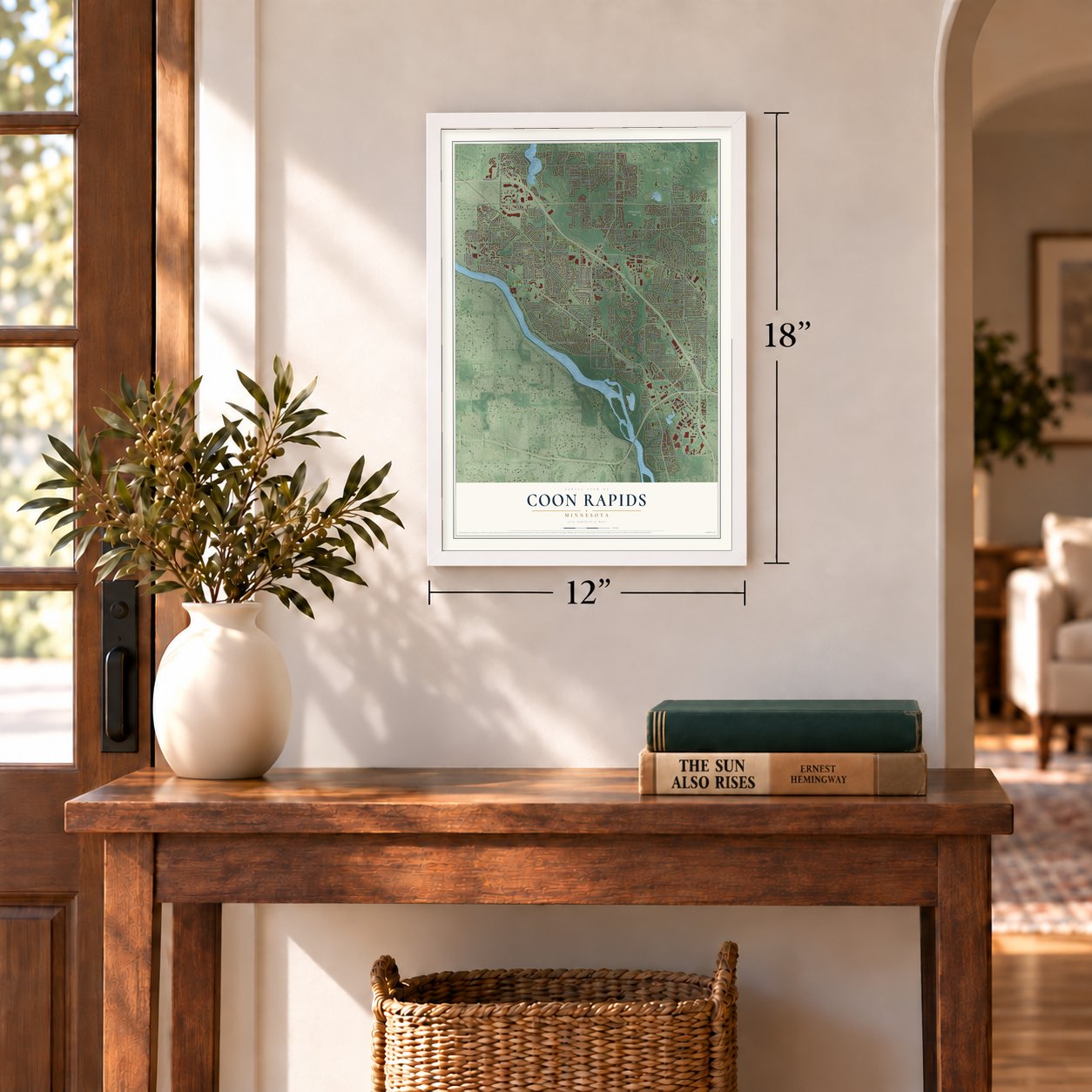
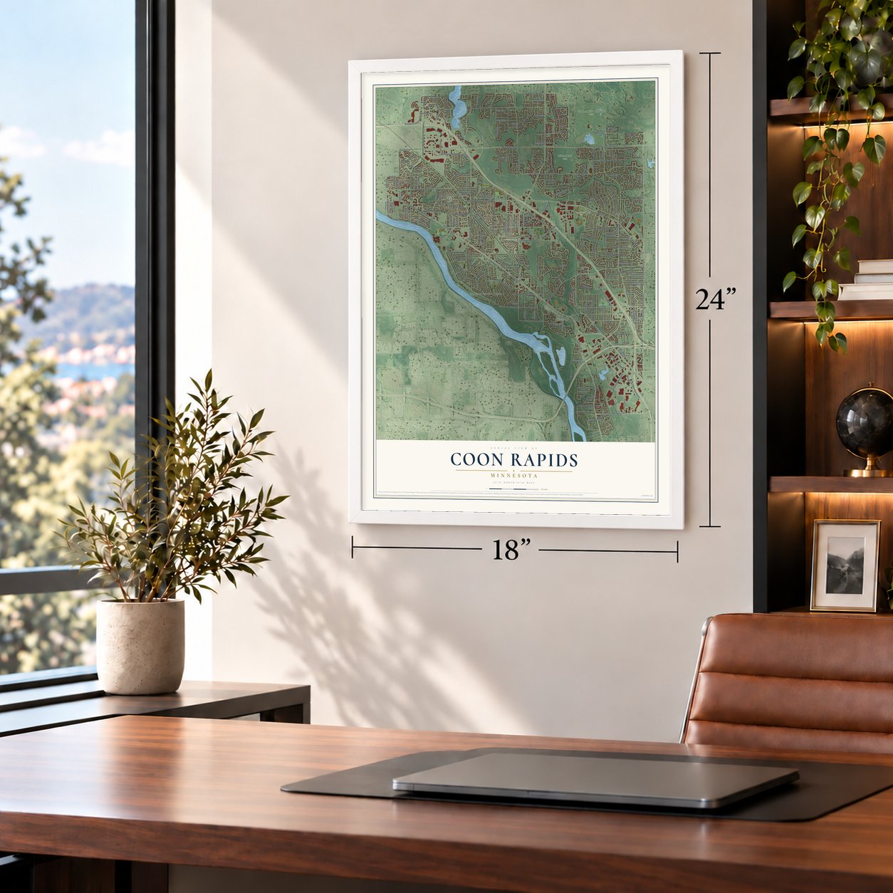
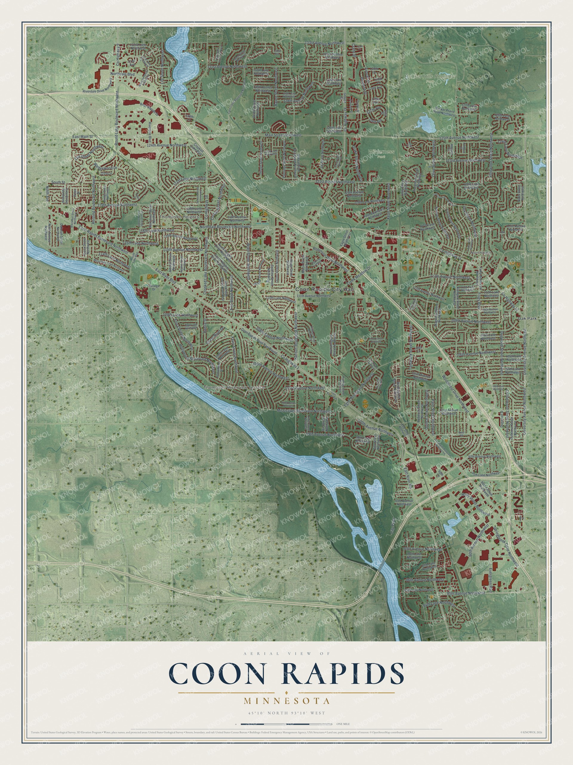
A new map of Coon Rapids, Minnesota, made in 2026 and printed to order on thick archival matte paper.
12" x 18" Archival Matte Print
A Map of Home. A Work of Art.
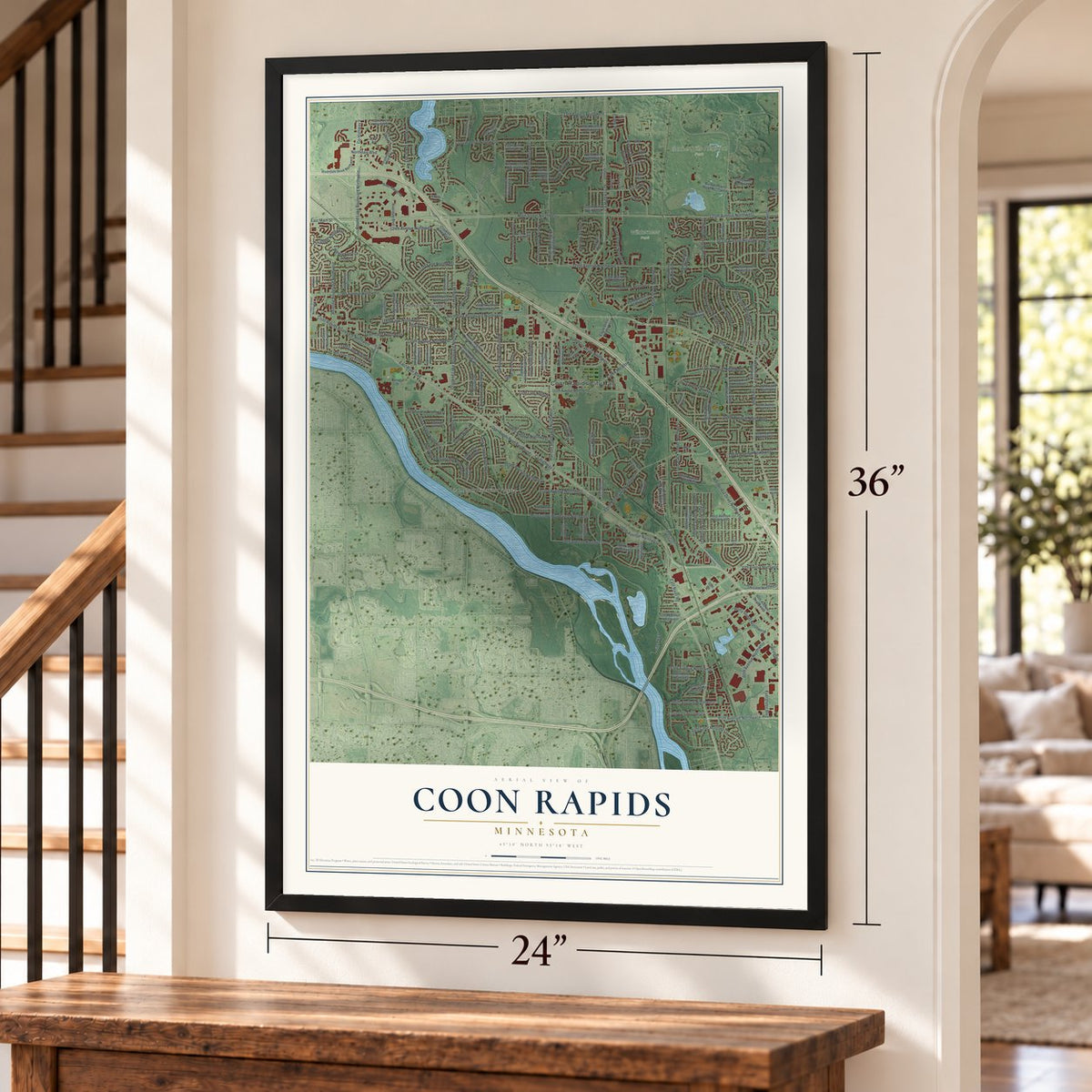
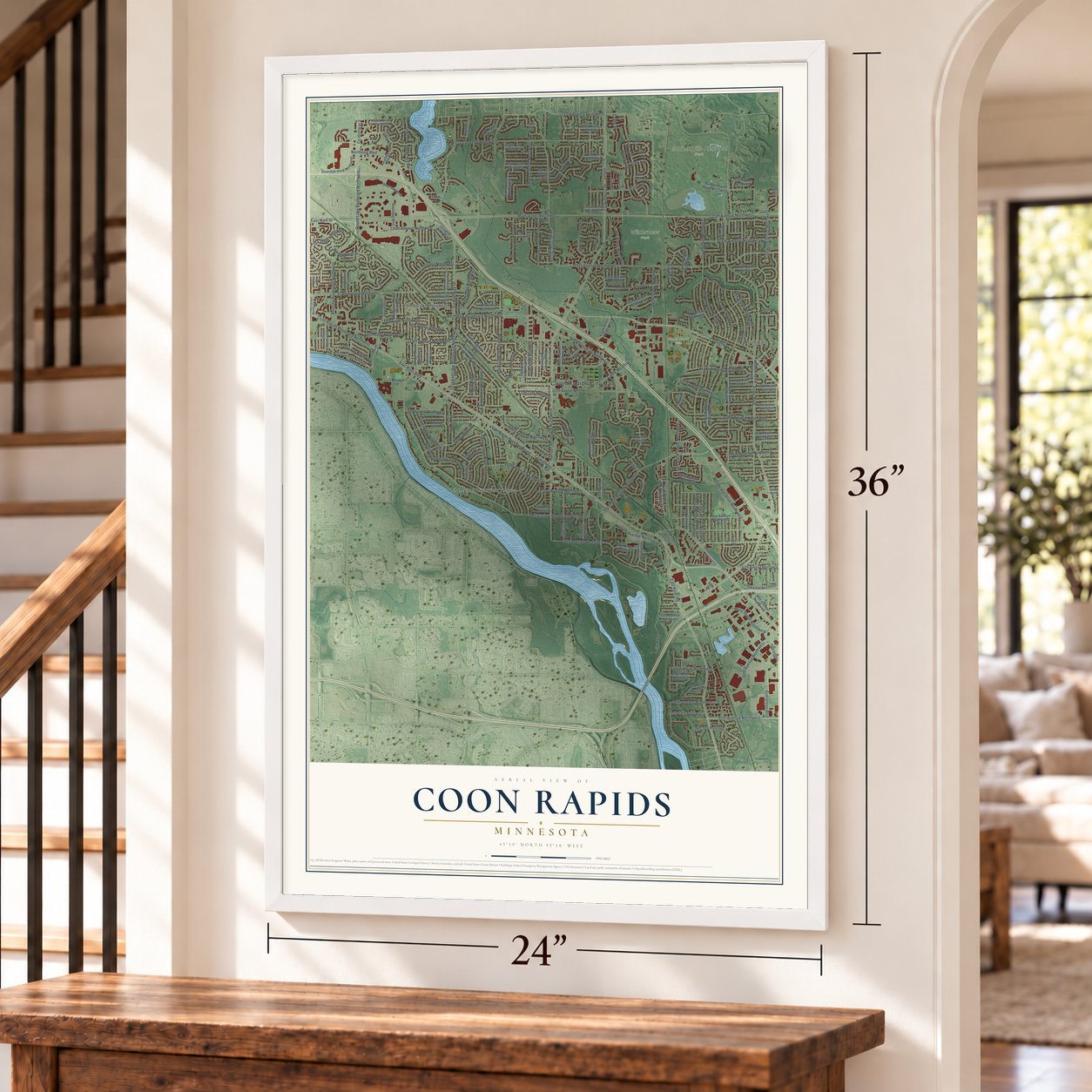
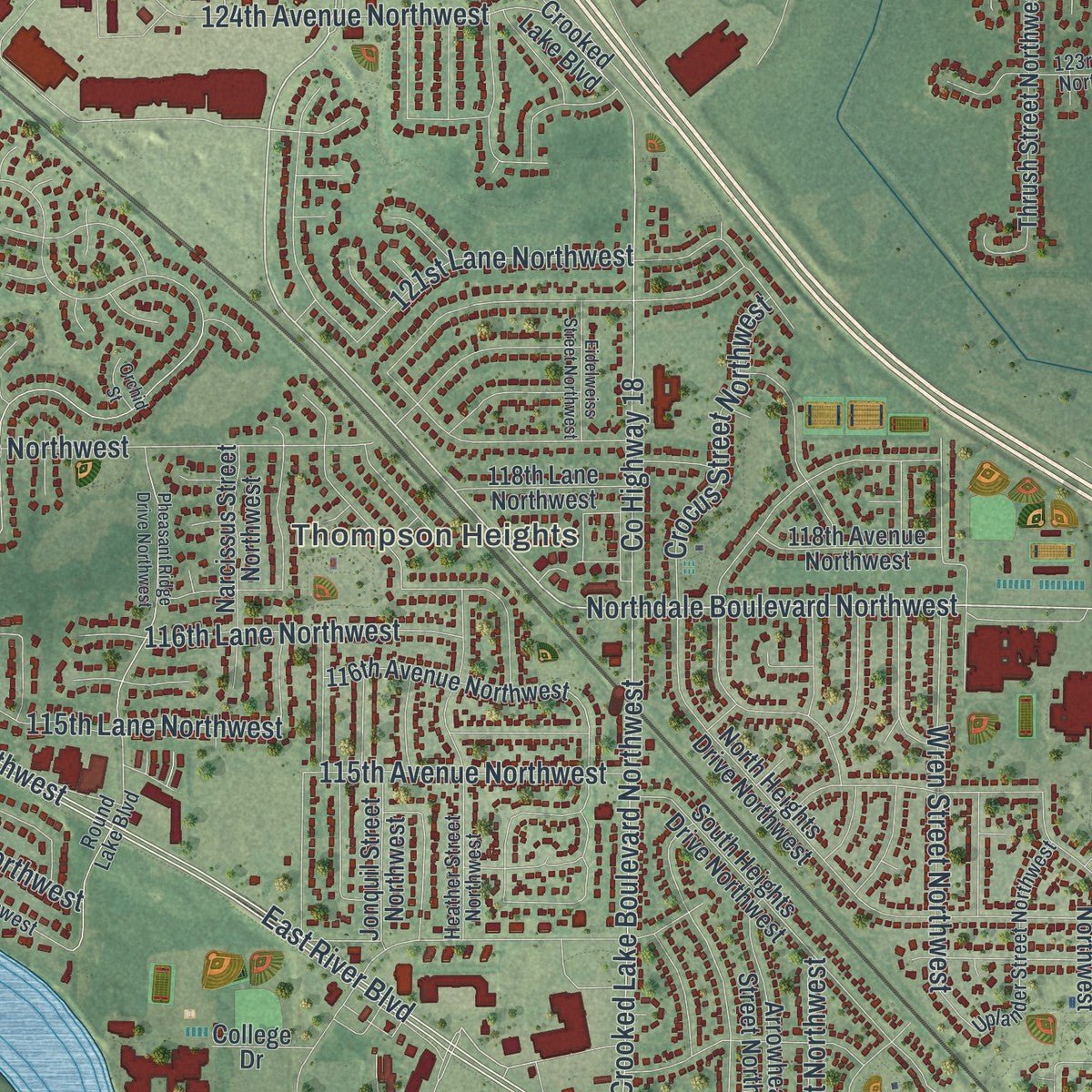
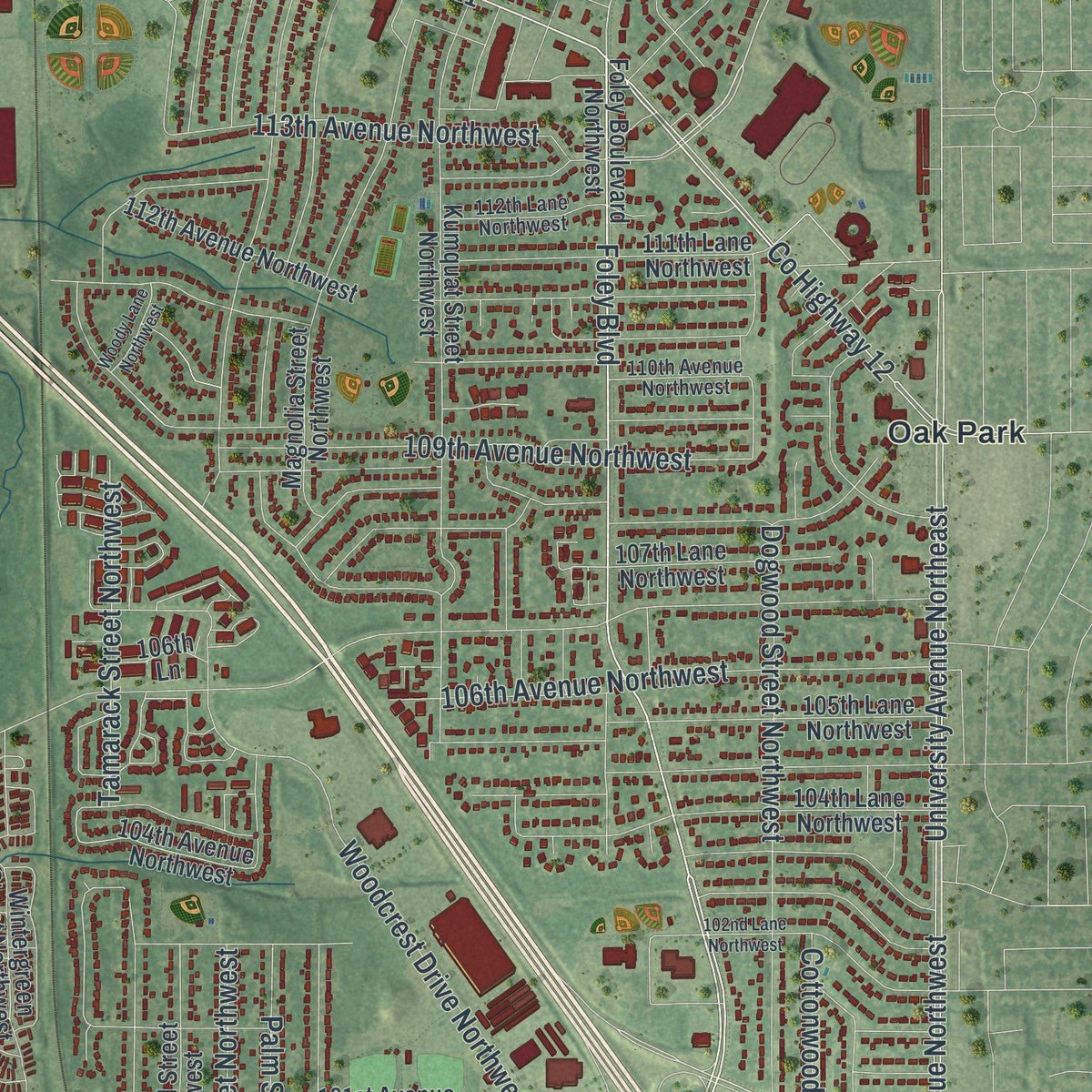
Explore Coon Rapids, Minnesota from a whole new perspective. Created using aerial imagery and detailed geographic data, this map captures Coon Rapids building by building, with labeled streets, familiar landmarks, and shaded topographical relief that highlights the natural contours of the landscape.
Combining modern data with the timeless character of a vintage atlas, this map is just as interesting up close as it is beautiful on the wall. Whether you grew up in Coon Rapids, spent memorable years there, or call it home today, this unique map is a great way to celebrate a place that means something to you. Zoom in on the preview to look for your street, and then order a print to put your memories on the wall.
Three ways to hang it
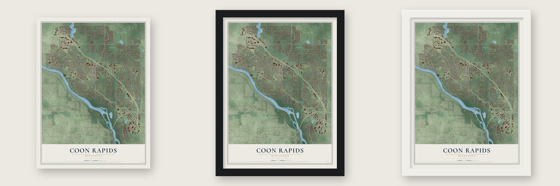
Unframed archival matte, a black wood frame or a white wood frame.
Up close
Geography Worth Displaying
This map was created using accurate cartographic data and authoritative geographic sources, including the U.S. Geological Survey and the Census Bureau. The map brings together terrain, waterways, roads, and building detail. The majority of the streets are labeled, houses are accurately depicted, and the topography is derived from government sources. Combining local data with carefully composed color and shading leads to this beautifully detailed Coon Rapids artwork for your wall.
Rather than simply showing street outlines, we’ve included as many of the street names as we could reasonably fit on the map while keeping their names legible. Zoom in on the high resolution preview to see exactly what’s on the map. We truly set out to create a statement piece for anyone who loves Coon Rapids. So whether it’s for you, or a gift for someone you love, we hope this map of Coon Rapids brings back fond memories.
Read the story behind this map of Coon Rapids, Minnesota from 2026.

About Coon Rapids, Minnesota
Coon Rapids is a city of 63,599 people in Anoka County, just north of Minneapolis. Its first settlers came for Coon Creek, which took its name from the many raccoons hunted near its mouth in the 19th century. Workers cut the Red River Ox Cart Trail through the area in 1835 to link Minneapolis and Anoka for the army and for trade, and the first local businesses grew up beside it.
Work on a dam across the Mississippi began in 1912. The laborers and engineers who came to build it pushed the population past 1,000 for the first time, and the dam was finished in 1914. Around then Anoka Township renamed itself Coon Creek Rapids, which was later shortened to Coon Rapids. The village voted in 1959 to become a city, and it had 14,000 people that year.
- From power plant to parkThe Coon Rapids Dam made electricity for Northern States Power Company from 1914 until 1969. That year the company sold it to the Hennepin County Park Board, and it became part of Coon Rapids Dam Regional Park.
- Where the river boats stoppedSteamboats once ran past Coon Rapids, and in good conditions they could go as far upstream as St. Cloud. Once the dam was completed in 1914, Coon Rapids became the farthest point north that boats could travel on the Mississippi.
- The Clay HoleD. C. Dunham founded the Anoka Pressed Brick and Terra Cotta Company here in 1881, one of the first industries along the ox cart trail. The pit where it dug its clay, known around town as the Clay Hole, still marks the city's industrial past.
- An ox cart trail turned boulevardThe trail laid in 1835 is now Coon Rapids Boulevard, which follows its old route from Pheasant Ridge Drive NW to Egret Boulevard NW. It remains one of the city's main commercial streets.
Find your street
Names on the Coon Rapids map
Every name below is printed on this map. Look for your street, your school, the park where you played, or the pond down the road.
Places and landmarks8
- Coon Rapids City Hall
- Thompson Heights
- Northdale
- Thompson Riverview Terrace
- Bunker Hills Regional Park
- Sand Creek Park
- Wilderness Park
- Oak Park
Streets and roads220
- Coon Rapids Boulevard Northwest
- County Highway 1
- Hanson Boulevard Northwest
- Northdale Boulevard Northwest
- County Highway 11
- Foley Boulevard
- 99th Avenue Northwest
- County Highway 12
- Northdale Boulevard
- Dogwood Street Northwest
- Palm Street Northwest
- 133rd Avenue Northwest
- Main Street Northwest
- 125th Avenue Northwest
- University Avenue Northeast
- University Avenue Northwest
- East River Road
- Robinson Drive Northwest
- Flintwood Street Northwest
- 106th Avenue Northwest
- 114th Lane Northwest
- Ninth Avenue
- 109th Avenue Northwest
- Drake Street Northwest
- Zea Street Northwest
- East Main Street
- 121st Avenue Northwest
- Mississippi Boulevard Northwest
- Crooked Lake Boulevard Northwest
- Round Lake Boulevard Northwest
Show all 220 streets
- 113th Avenue Northwest
- 115th Avenue Northwest
- Egret Boulevard Northwest
- Olive Street Northwest
- Evergreen Boulevard
- 119th Avenue Northwest
- County Highway 9
- County Highway 18
- East River Boulevard
- 103rd Avenue Northwest
- 105th Avenue Northwest
- Ilex Street Northwest
- 124th Lane Northwest
- Cottonwood Street Northwest
- 131st Avenue Northwest
- Xavis Street Northwest
- 108th Avenue Northwest
- Wren Street Northwest
- 123rd Avenue Northwest
- Zion Street Northwest
- Wedgewood Drive
- Xeon Street Northwest
- Holly Street Northwest
- 85th Avenue Northwest
- 128th Avenue Northwest
- Quince Street Northwest
- 124th Avenue Northwest
- Crocus Street Northwest
- Reisling Boulevard Northwest
- 121st Lane Northwest
- County Highway 78
- Springbrook Drive Northwest
- 109th Lane Northwest
- Lily Street Northwest
- Tamarack Street Northwest
- Raven Street Northwest
- 100th Avenue Northwest
- Avocet Street
- Woodcrest Drive Northwest
- Hollywood Boulevard Northwest
- 116th Lane Northwest
- Flora Street Northwest
- 115th Lane Northwest
- 90th Avenue Northwest
- Crane Street
- Direct River Drive
- 84th Lane Northwest
- Creek Meadow Drive
- 86th Avenue Northwest
- Bluebird Street
- 89th Avenue Northwest
- City Parkway
- Dahlia Street
- 127th Avenue
- South Street
- Foley Boulevard Northwest
- 129th Avenue Northwest
- 101st Avenue Northwest
- Coon Rapids Road-East Bound
- Jay Street Northwest
- 98th Lane Northwest
- 85th Lane Northwest
- 117th Lane Northwest
- Unity Street Northwest
- 97th Avenue Northwest
- 104th Avenue Northwest
- 118th Avenue Northwest
- Ninth Avenue Northwest
- 126th Lane Northwest
- Norway Street Northwest
- Magnolia Street Northwest
- 111th Avenue Northwest
- Kumquat Street Northwest
- Quinn Street Northwest
- Redwood Street Northwest
- Eagle Street Northwest
- Larch Street Northwest
- Ibis Street Northwest
- Thrush Street Northwest
- 105th Lane Northwest
- Shenandoah Boulevard Northwest
- 120th Avenue Northwest
- Butternut Street Northwest
- 117th Avenue Northwest
- Osage Street Northwest
- Hummingbird Street Northwest
- 116th Avenue Northwest
- 110th Lane Northwest
- 107th Lane Northwest
- 120th Lane Northwest
- 104th Lane Northwest
- Sycamore Street Northwest
- 119th Lane Northwest
- Partridge Street Northwest
- Jonquil Street Northwest
- 112th Avenue Northwest
- Wintergreen Street Northwest
- Martin Street Northwest
- Verdin Street Northwest
- 129th Lane Northwest
- Riverdale Boulevard
- Swallow Street Northwest
- 118th Lane Northwest
- 127th Lane Northwest
- 111th Lane Northwest
- 132nd Avenue Northwest
- 132nd Lane Northwest
- Alder Street Northwest
- Riverdale Drive Northwest
- South Heights Drive Northwest
- 125th Lane Northwest
- 130th Lane Northwest
- Bunker Praire Road Northwest
- 93rd Avenue Northwest
- 106th Lane Northwest
- River Rapids Drive
- North Heights Drive Northwest
- 94th Avenue Northwest
- Yucca Street Northwest
- Arrowhead Street Northwest
- Xeon Boulevard Northwest
- Narcissus Street Northwest
- Zilla Street Northwest
- 87th Lane Northwest
- 95th Lane Northwest
- Arrowhead Street
- Dogwood Street
- 126th Avenue
- Dakotah Street Northwest
- Zilla Street
- 88th Lane Northwest
- Cree Street Northwest
- Crooked Lake Boulevard
- 130th Lane
- Grouse Street
- 129th Avenue
- 128th Avenue
- Drake Street
- 129th Lane
- 106th Lane
- College Drive
- 126th Lane
- 121st Lane
- Aztec Street
- 131st Avenue
- 95th Lane
- Coon Creek Boulevard Northwest
- Yukon Street Northwest
- 131st Lane Northwest
- 108th Lane Northwest
- Uplander Street Northwest
- 123rd Lane Northwest
- 110th Avenue Northwest
- Killdeer Street Northwest
- Marigold Street Northwest
- Heather Street Northwest
- Vale Street Northwest
- Vintage Street Northwest
- Linnet Street Northwest
- 112th Lane Northwest
- Round Lake Boulevard
- Blackfoot Street Northwest
- Mississippi Drive Northwest
- Flamingo Street Northwest
- 128th Lane Northwest
- 132nd Avenue
- Flamingo Street
- Kumquat Street
- Magnolia Circle
- Unity Street
- West Road
- Coon Rapids Boulevard
- Juniper Street Northwest
- Grouse Street Northwest
- Bittersweet Street Northwest
- 107th Avenue Northwest
- Avocet Street Northwest
- 102nd Avenue Northwest
- Eidelweiss Street Northwest
- Sand Creek Drive Northwest
- 113th Lane Northwest
- 103rd Lane Northwest
- 102nd Lane Northwest
- Woody Lane Northwest
- Pheasant Ridge Drive Northwest
- Coon Rapids Boulevard Northwest Extension
- 132nd Lane
- Orchid Street
- 116th Lane
- Alder Street
Names are listed as they appear on the printed map. Zoom into the product photos to find them.
The art of mapping a place
How This Map Was Made
Real places. Remarkable detail. Discover the layers that turn geographic data into a map of home.

The view from above
Aerial imagery reveals the character of the land: woodland, open fields, and the patterns of a place.

The shape of the land
Elevation data brings hills, valleys, and subtle changes in the landscape into view.

The details of home
Roads, waterways, and building footprints come together to make the map feel unmistakably local.

Geography becomes art
Considered color, shading, and typography bring the layers together in a map made for your wall.


Process illustrated with Mendon, Massachusetts. Aerial imagery: USDA NAIP. Terrain: USGS 3D Elevation Program. Map details and finished artwork: KNOWOL.
The Details
About This Print
Choose an archival matte print, or a black or white Ayous wood frame. The archival matte print is unframed.
Select your size and finish above to see the matching product image and price.
Materials & Craftsmanship
A contemporary map with the character of a classic atlas, printed on archival matte paper. Optional frames are made from Ayous wood.
Your printed map does not include the watermark shown in the full-map preview.
Shipping & Delivery
Free shipping within the United States. Every print is made to order in the USA.
Buying a gift? Add a note in your cart and we'll include it. We never put prices in the package.
Prints ship within 2 to 3 business days. Allow 7 to 10 days total from ordering for delivery. Timing may vary during holidays or periods of high order volume.
Read our shipping policy.
Returns and damaged prints
Each print is made to order. Change-of-mind refunds are not available after production.
If your print arrives damaged, misprinted or incorrect, contact support@knowol.com within 30 days of receiving it. Include your order number, photos and a description of the issue.
Read our full refund and replacement policy. For questions about your order, email support@knowol.com.
Find your town
Looking for another city?
Find a map of home in our Minnesota collection, or any town in the country.
Nearby
Maps of towns near Coon Rapids
Know someone from one of these towns? Their map makes a great gift.
 Champlin
, Minnesota
From $39.99See the map
 Anoka
Anoka, Minnesota
From $39.99See the map
 Brooklyn Park
, Minnesota
From $39.99See the map
More maps nearby: Blaine, Spring Lake Park, Andover, Osseo and Fridley.