
Search for another town

Free U.S. delivery 7 to 10 days after you order
Blaine, Minnesota Map Art
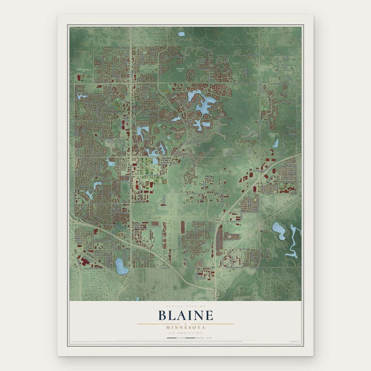
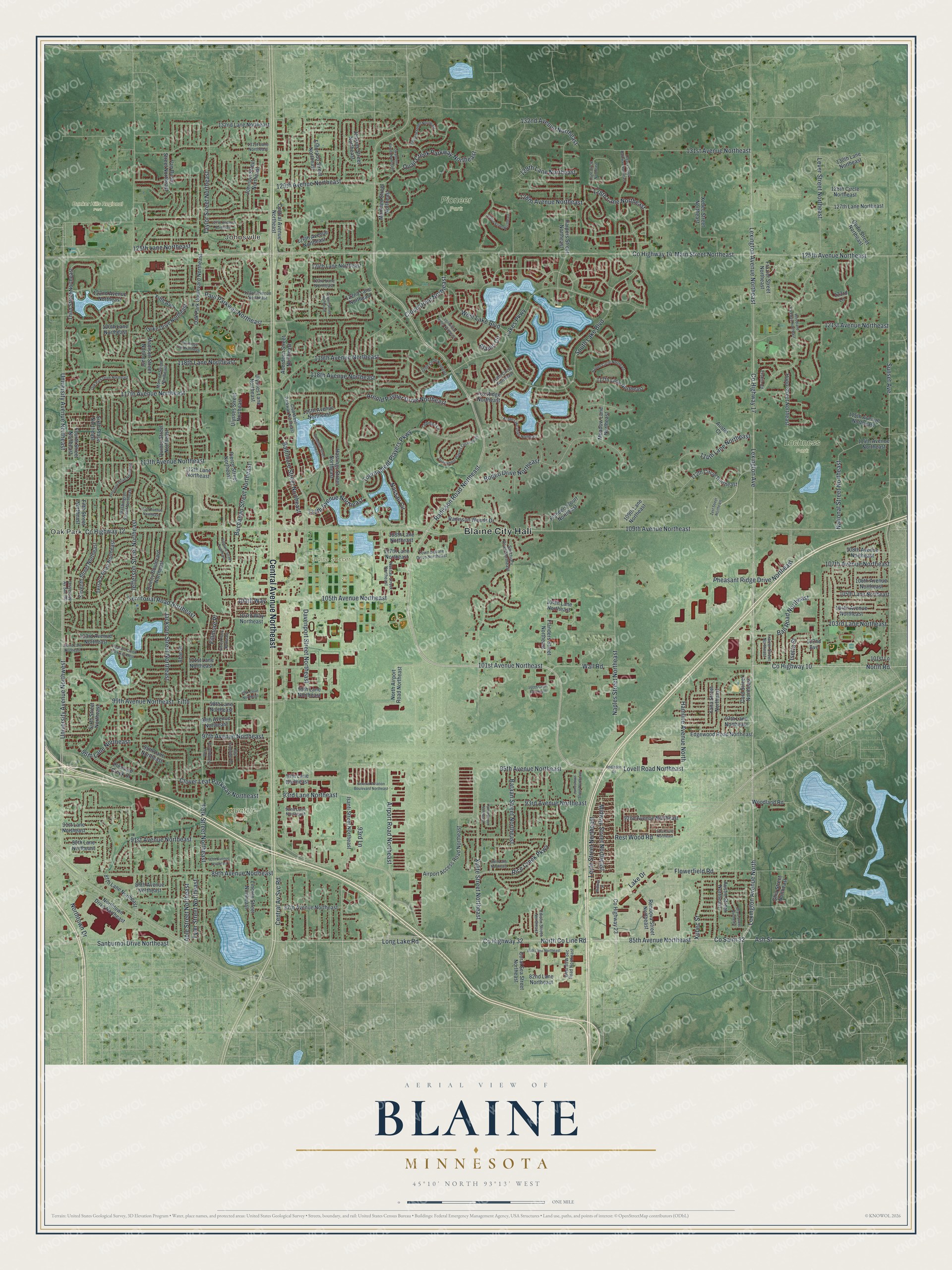
A new map of Blaine, Minnesota, made in 2026 and printed to order on thick archival matte paper.
12" x 18" Archival Matte Print
A Map of Home. A Work of Art.
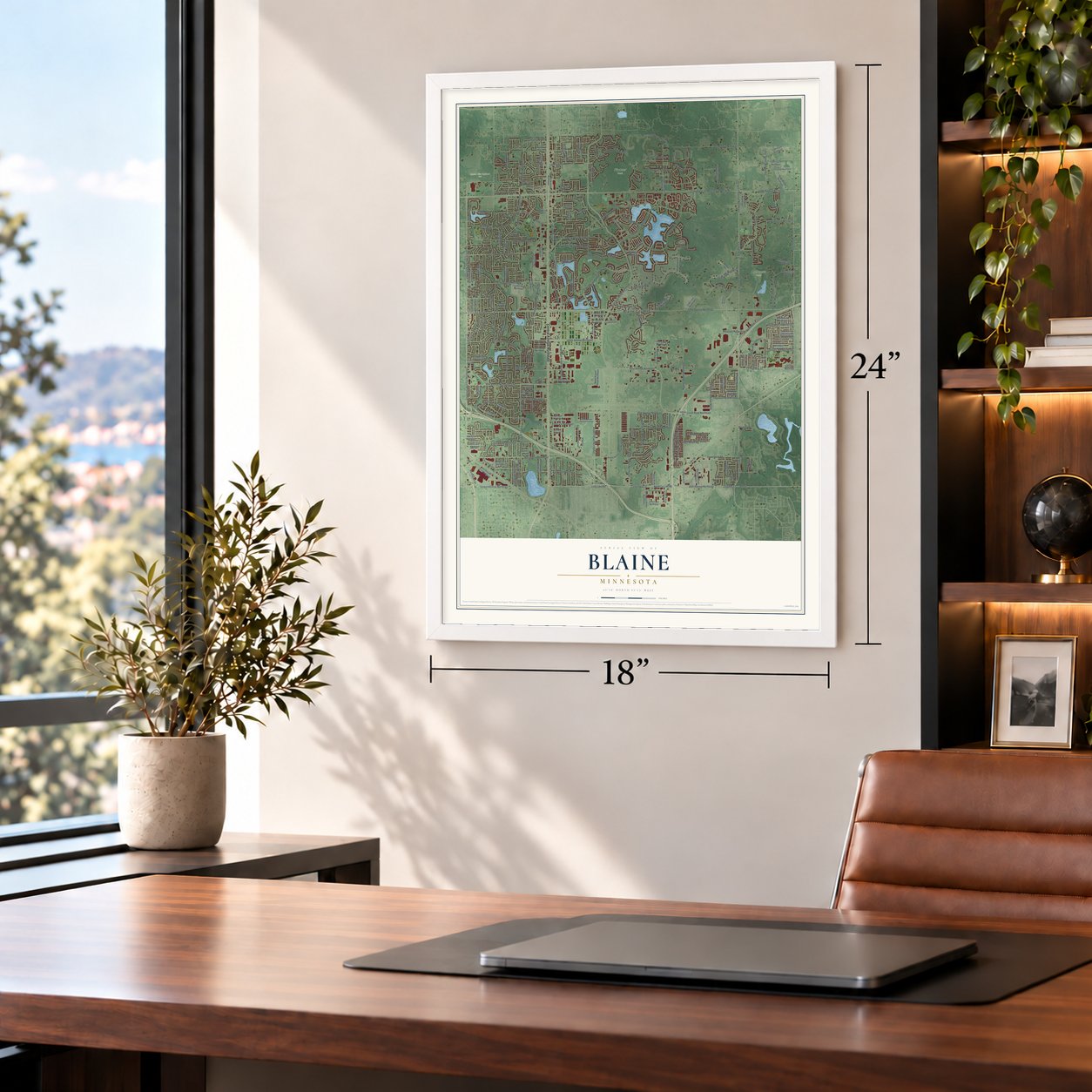
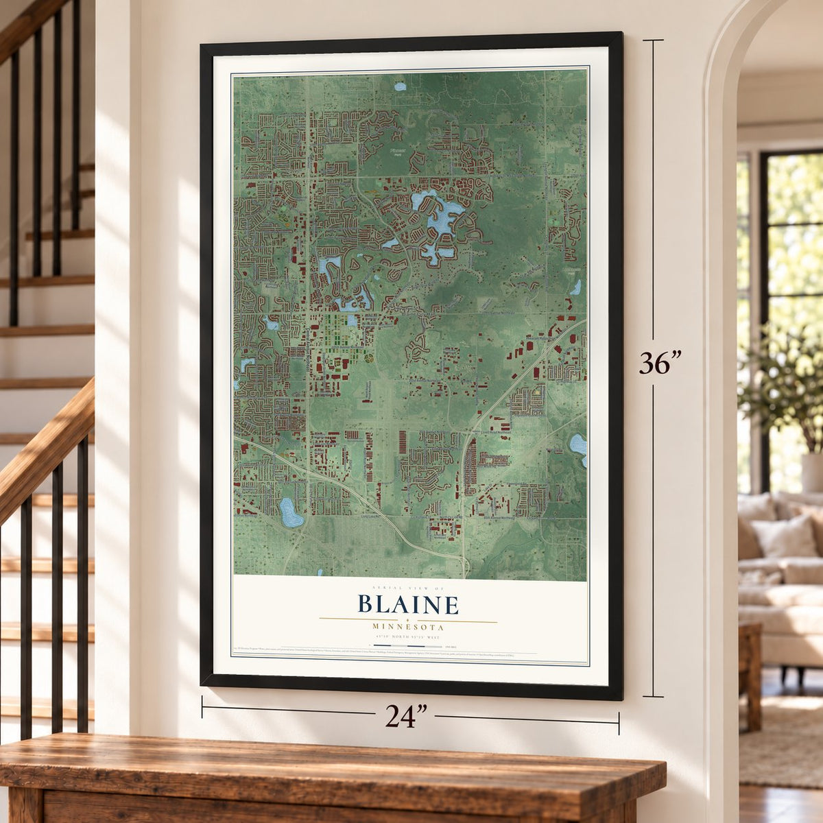
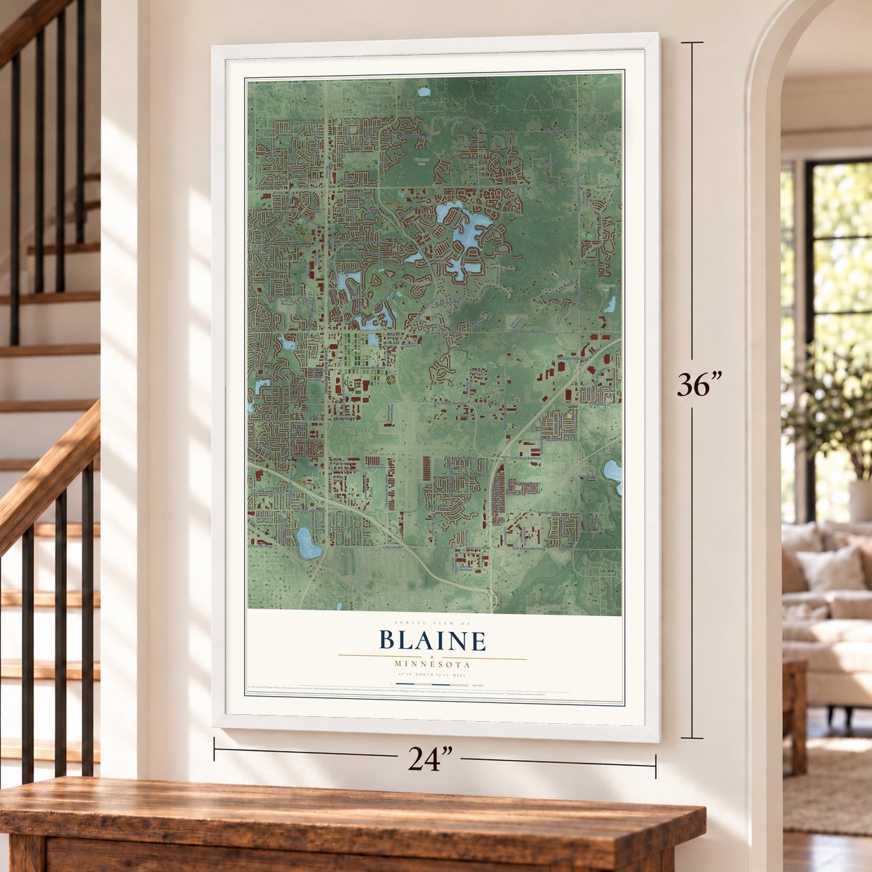
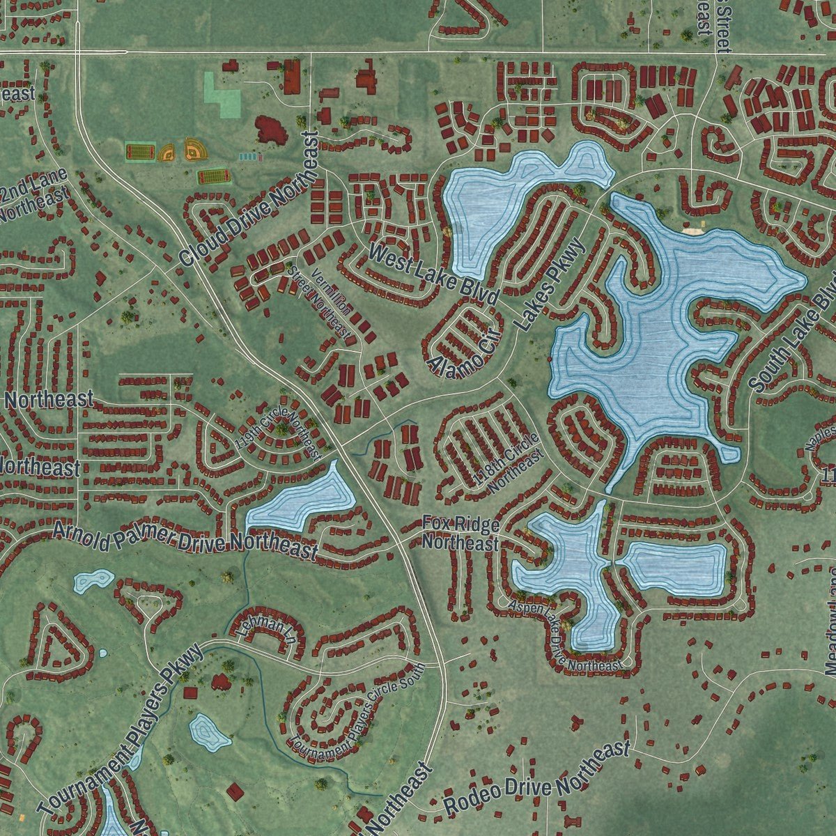
Explore Blaine, Minnesota from a whole new perspective. Created using aerial imagery and detailed geographic data, this map captures Blaine building by building, with labeled streets, familiar landmarks, and shaded topographical relief that highlights the natural contours of the landscape.
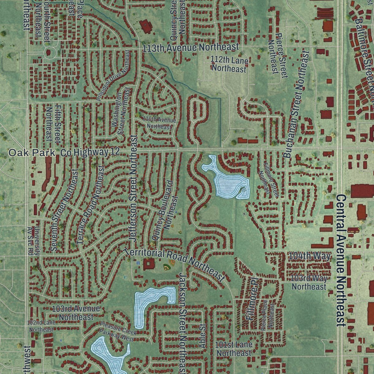
Combining modern data with the timeless character of a vintage atlas, this map is just as interesting up close as it is beautiful on the wall. Whether you grew up in Blaine, spent memorable years there, or call it home today, this unique map is a great way to celebrate a place that means something to you. Zoom in on the preview to look for your street, and then order a print to put your memories on the wall.
Three ways to hang it
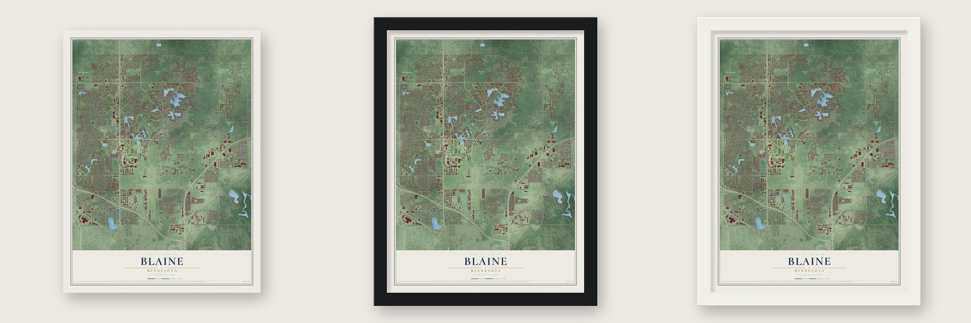
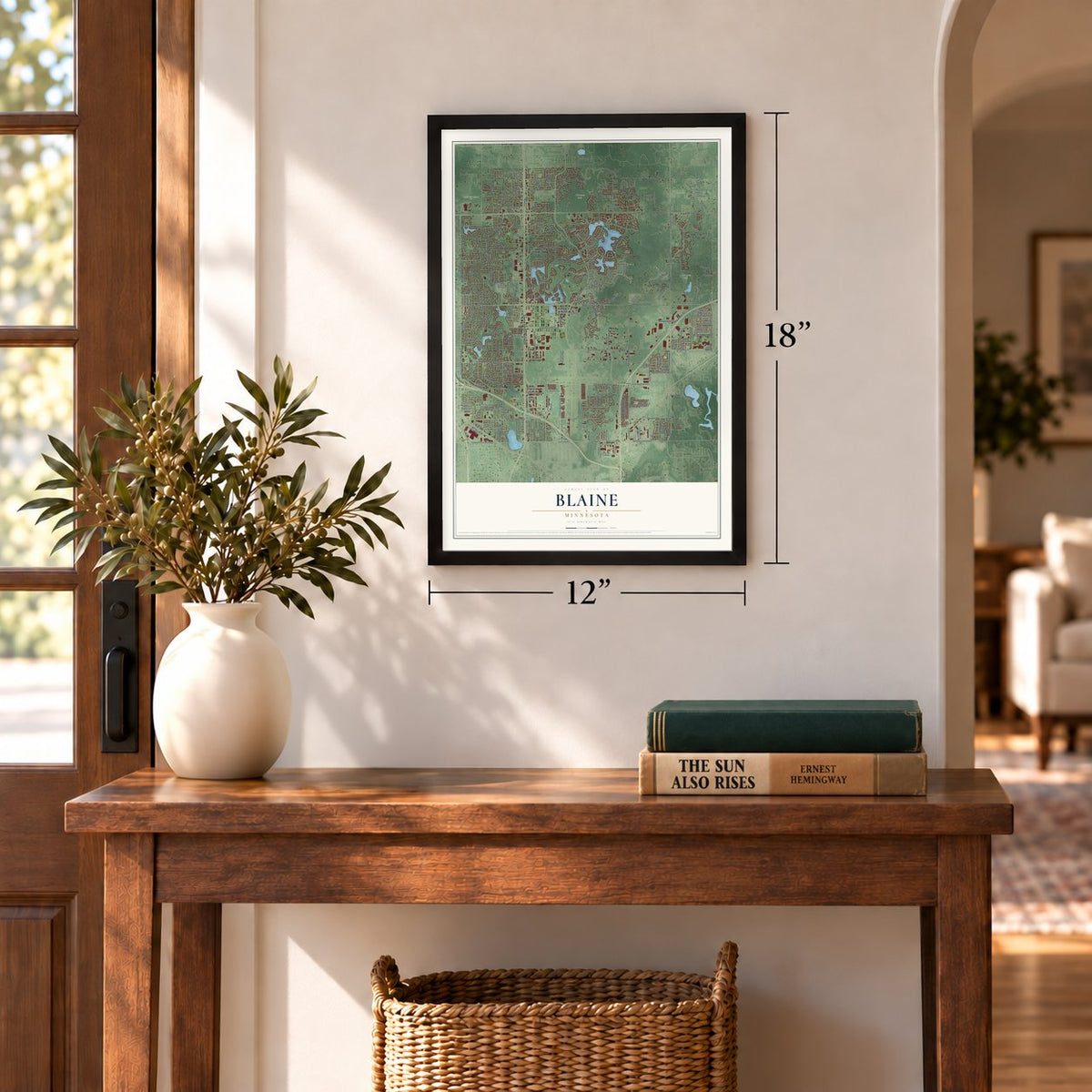
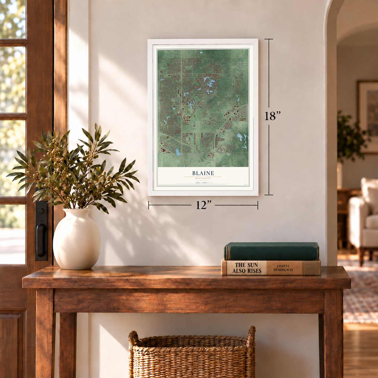
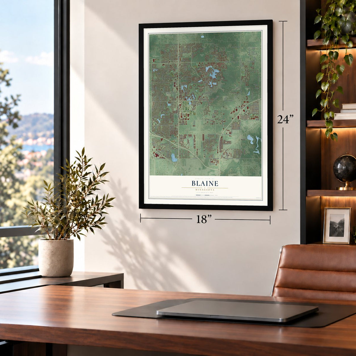
Unframed archival matte, a black wood frame or a white wood frame.
Up close
Geography Worth Displaying
This map was created using accurate cartographic data and authoritative geographic sources, including the U.S. Geological Survey and the Census Bureau. The map brings together terrain, waterways, roads, and building detail. The majority of the streets are labeled, houses are accurately depicted, and the topography is derived from government sources. Combining local data with carefully composed color and shading leads to this beautifully detailed Blaine artwork for your wall.
Rather than simply showing street outlines, we’ve included as many of the street names as we could reasonably fit on the map while keeping their names legible. Zoom in on the high resolution preview to see exactly what’s on the map. We truly set out to create a statement piece for anyone who loves Blaine. So whether it’s for you, or a gift for someone you love, we hope this map of Blaine brings back fond memories.
Read the story behind this map of Blaine, Minnesota from 2026.
About Blaine, Minnesota
Blaine is a city of 70,222 people, mostly in Anoka County, about 13 miles from Minneapolis. Phillip Leddy, an Irishman counted in Anoka township in the 1857 census, moved in 1862 to the lake now spelled Laddie Lake, and he died there in 1872. In 1865 Greenberry Chambers, who had been enslaved in Barren County, Kentucky, came north after the Civil War and took up George Townsend's old claim. He became the first permanent resident and stayed until his family left for St. Paul around 1884.
In 1877 the area broke away from Anoka and organized as a township. Moses Ripley, a Maine native elected the first board chairman, talked the other supervisors into naming it for James G. Blaine, the Maine senator who ran for president three times. Sandy soil and wide wetlands kept most farmers away, so the land stayed good hunting ground, and only 128 people lived here by 1880. Housing developments began in the south after World War II. In 1950 the population stood at 1,694, and by 1970 it had reached 20,573.
- The Elwell GradeMr. Elwell paid out of his own pocket for a perfectly straight road, eight miles long, with a ditch dug along each side. It linked his Oak Leaf stock farm in Ham Lake to his Golden Lake stock farm in Blaine, and in 1905 the county history noted that people still called it the Elwell Grade.
- Neighborhoods raised on sandMuch of modern Blaine was once peat sod farmland. Builders dug ponds and spread the sand to lift the ground for TPC Twin Cities, the golf course that now hosts the PGA Tour's 3M Open, and for neighborhoods such as Pleasure Creek, Club West and Knoll Creek. The Lakes of Blaine grew up around man-made Sunrise Lake, 158 acres and close to 40 feet deep. Laddie Lake, at 77 acres, is the only natural lake in the city.
- Soccer's home for 23 yearsThe National Sports Center hosted Minnesota's professional soccer teams for 23 years, starting with the Minnesota Thunder from 1990 to 2003 and again in 2008 and 2009. Minnesota United FC played there until it moved up to Major League Soccer in 2017, and it still trains there. The center has more than 50 full-size soccer fields and an ice arena with eight sheets, and it ranks as the world's largest facility of its kind.
Find your street
Names on the Blaine map
Every name below is printed on this map. Look for your street, your school, the park where you played, or the pond down the road.
Places and landmarks8
- Blaine City Hall
- Oak Park
- Johnsville
- Aquatore Park
- Blaine Soccer Fields
- Bunker Hills Regional Park
- Lochness Park
- Pioneer Park
Streets and roads242
- Central Avenue Northeast
- Radisson Road Northeast
- County Highway 17
- 101st Avenue Northeast
- Naples Street Northeast
- Lexington Avenue North
- 95th Avenue Northeast
- Co Saint 32
- County Highway 10
- North Road
- Lovell Road Northeast
- Ash Street
- Lakes Parkway
- Sunset Avenue
- County Highway 32
- North County Line Road
- University Avenue Northeast
- University Avenue Northwest
- Lexington Avenue Northeast
- Lexington Avenue
- 125th Avenue Northeast
- Main Street Northeast
- 85th Avenue Northeast
- Long Lake Road
- 93rd Lane
- Jefferson Street Northeast
- 109th Avenue Northeast
- Xylite Street Northeast
- 99th Avenue Northeast
- Central Av Svc Road
Show all 242 streets
- Paul Parkway Northeast
- Fifth
- Tyler Street Northeast
- 128th Lane Northeast
- County Highway 14
- Able Street Northeast
- Tournament Players Parkway
- 117th Avenue Northeast
- Jackson Street Northeast
- 93rd Lane Northeast
- Lake Drive
- 91st Avenue Northeast
- 121st Avenue Northeast
- Quail Creek Parkway Northeast
- Baltimore Street Northeast
- Polk Street Northeast
- Airport Road Northeast
- Davenport Street Northeast
- 129th Avenue Northeast
- 132nd Avenue Northeast
- 111th Avenue Northeast
- 131st Avenue Northeast
- Lever Street Northeast
- Pheasant Ridge Drive Northeast
- Buchanan Street Northeast
- 105th Avenue Northeast
- 118th Avenue Northeast
- 113th Avenue Northeast
- Taylor Street Northeast
- 89th Avenue Northeast
- South Lake Boulevard
- Clover Leaf Parkway Northeast
- 128th Avenue Northeast
- 119th Avenue Northeast
- Cloud Drive Northeast
- Wall Road
- Arnold Palmer Drive Northeast
- Rodeo Drive Northeast
- Leyte Street Northeast
- 93rd Avenue Northeast
- 107th Avenue Northeast
- 96th Lane Northeast
- 129th Lane Northeast
- 97th Avenue Northeast
- National Street Northeast
- 114th Lane Northeast
- Territorial Road Northeast
- 125th Lane Northeast
- County Highway 12
- Rice Creek Parkway
- Bataan Street Northeast
- 103rd Lane Northeast
- Flowerfield Road
- Northtown Drive
- 118th Lane Northeast
- Hamline Avenue North
- Ball Road Northeast
- Midway Street Northeast
- West Lake Boulevard
- Nassau Circle
- Sanburnol Drive Northeast
- Xebec Street
- Rest Wood Road
- Alamo Circle
- Fillmore Place
- 104th Way
- Isetta Street
- County Highway 23
- Aberdeen Street Northeast
- Fifth Street Northeast
- Flanders Court Northeast
- 107th Lane Northeast
- 97th Lane Northeast
- 91st Lane Northeast
- Mankato Street Northeast
- Sixth Place Northeast
- Hastings Street Northeast
- 126th Avenue Northeast
- 116th Avenue Northeast
- Pierce Street Northeast
- Madison Street Northeast
- Coral Sea Street Northeast
- Fourth Street Northeast
- 104th Avenue Northeast
- 98th Lane Northeast
- 101st Lane Northeast
- Ulysses Street Northeast
- Terrace Road Northeast
- Seventh Street Northeast
- Van Buren Street Northeast
- Third Street Northeast
- Sixth Street Northeast
- 104th Lane Northeast
- Johnson Street Northeast
- Lincoln Street Northeast
- Eldorado Street Northeast
- 127th Lane Northeast
- 87th Avenue Northeast
- Flanders Street Northeast
- Isanti Street Northeast
- 122nd Avenue Northeast
- 88th Avenue Northeast
- 117th Lane Northeast
- 132nd Lane Northeast
- 90th Lane Northeast
- 112th Circle Northeast
- 124th Lane Northeast
- 87th Lane Northeast
- 103rd Avenue Northeast
- 92nd Avenue Northeast
- Austin Street Northeast
- 98th Avenue Northeast
- Quincy Boulevard Northeast
- Quincy Street Northeast
- Yalta Street Northeast
- 130th Lane Northeast
- 108th Avenue Northeast
- Oak Park Boulevard Northeast
- 115th Avenue Northeast
- Rendova Street Northeast
- Harpers Street Northeast
- 108th Lane Northeast
- 120th Lane Northeast
- 99th Lane Northeast
- 95th Lane Northeast
- Hupp Street Northeast
- Ghia Street Northeast
- 109th Lane Northeast
- 106th Avenue Northeast
- Airport Access Road Northeast
- 114th Avenue Northeast
- Duke Drive Northeast
- North Airport Road Northeast
- Xebec Street Northeast
- Cord Street Northeast
- Quito Street Northeast
- Jenkins Street Northeast
- Edgewood Road Northeast
- Radisson Woods Drive
- 122nd Lane Northeast
- 112th Lane Northeast
- 105th Lane Northeast
- 128th Circle Northeast
- Frazier Street Northeast
- 94th Lane Northeast
- Fox Ridge Northeast
- 82nd Lane Northeast
- Meadow Lane Northeast
- Ulysses Lane Northeast
- Northtown Drive Northeast
- Pleasure Creek Drive
- 103rd Way Northeast
- Woodland Road
- Austin Court
- 101st Lane
- Fifth Avenue
- 102nd Avenue
- Able Street
- 123rd Lane
- Club West Parkway Northeast
- Edison Street Northeast
- 92nd Lane Northeast
- Washington Street Northeast
- Monroe Street Northeast
- 123rd Avenue Northeast
- 123rd Lane Northeast
- Fraizer Street Northeast
- 118th Circle Northeast
- Sanctuary Drive Northeast
- Town Square Drive Northeast
- 131st Lane Northeast
- Nassau Street Northeast
- Erskin Circle
- Lehman Lane
- University Av Svc Road
- Aspen Lake Drive Northeast
- Goodhue Street Northeast
- 127th Avenue Northeast
- 90th Avenue Northeast
- 110th Avenue Northeast
- Fillmore Street Northeast
- President Drive Northeast
- Jamestown Street Northeast
- Woodland Parkway Northeast
- Alamo Street Northeast
- Fergus Street Northeast
- Legacy Creek Parkway Northeast
- Vermillion Street Northeast
- Palisade Street Northeast
- Naples Circle Northeast
- Owatonna Street Northeast
- 89th Lane Northeast
- Pleasure Creek Parkway West
- 119th Circle Northeast
- Tournament Players Circle South
- 102nd Lane Northeast
- Pierce Place Northeast
- 100th Court Northeast
- Yancy Street Northeast
- Oak Park Drive Northeast
- Leyte Circle Northeast
- 91st Court Northeast
- Oak Ridge Trail Northeast
- 84th Lane Northeast
- Zest Street Northeast
- Brant Street Northeast
- General Aviation Boulevard Northeast
- 99th Court Northeast
- East Sandpiper Drive
- West Sandpiper Drive
- Radisson Road
- Midway Street
Names are listed as they appear on the printed map. Zoom into the product photos to find them.
The art of mapping a place
How This Map Was Made
Real places. Remarkable detail. Discover the layers that turn geographic data into a map of home.

The view from above
Aerial imagery reveals the character of the land: woodland, open fields, and the patterns of a place.

The shape of the land
Elevation data brings hills, valleys, and subtle changes in the landscape into view.

The details of home
Roads, waterways, and building footprints come together to make the map feel unmistakably local.

Geography becomes art
Considered color, shading, and typography bring the layers together in a map made for your wall.


Process illustrated with Mendon, Massachusetts. Aerial imagery: USDA NAIP. Terrain: USGS 3D Elevation Program. Map details and finished artwork: KNOWOL.
The Details
About This Print
Choose an archival matte print, or a black or white Ayous wood frame. The archival matte print is unframed.
Select your size and finish above to see the matching product image and price.
Materials & Craftsmanship
A contemporary map with the character of a classic atlas, printed on archival matte paper. Optional frames are made from Ayous wood.
Your printed map does not include the watermark shown in the full-map preview.
Shipping & Delivery
Free shipping within the United States. Every print is made to order in the USA.
Buying a gift? Add a note in your cart and we'll include it. We never put prices in the package.
Prints ship within 2 to 3 business days. Allow 7 to 10 days total from ordering for delivery. Timing may vary during holidays or periods of high order volume.
Read our shipping policy.
Returns and damaged prints
Each print is made to order. Change-of-mind refunds are not available after production.
If your print arrives damaged, misprinted or incorrect, contact support@knowol.com within 30 days of receiving it. Include your order number, photos and a description of the issue.
Read our full refund and replacement policy. For questions about your order, email support@knowol.com.
Find your town
Looking for another city?
Find a map of home in our Minnesota collection, or any town in the country.
Nearby
Maps of towns near Blaine
Know someone from one of these towns? Their map makes a great gift.
 Lexington
, Minnesota
From $39.99See the map
 Circle Pines
, Minnesota
From $39.99See the map
 Spring Lake Park
, Minnesota
From $39.99See the map
More maps nearby: Mounds View, Lino Lakes, Coon Rapids, Ham Lake and Fridley.