
Search for another town



Free U.S. delivery 7 to 10 days after you order
Lino Lakes, Minnesota Map Art
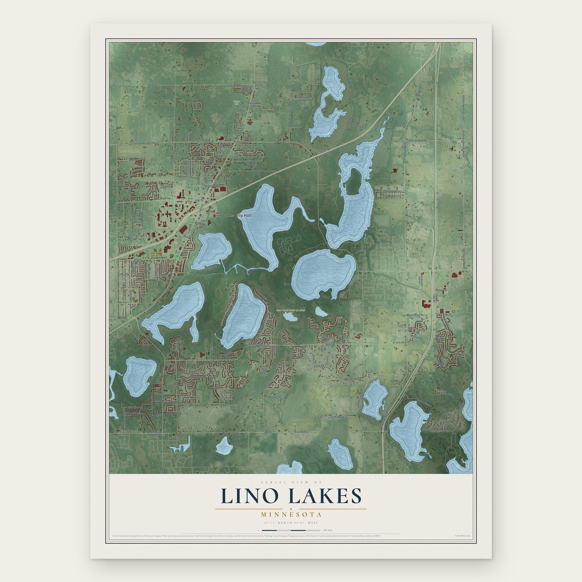
A new map of Lino Lakes, Minnesota, made in 2026 and printed to order on thick archival matte paper.
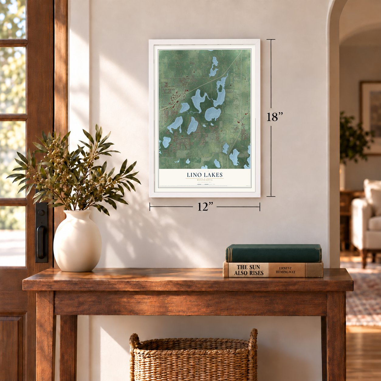
12" x 18" Archival Matte Print
A Map of Home. A Work of Art.
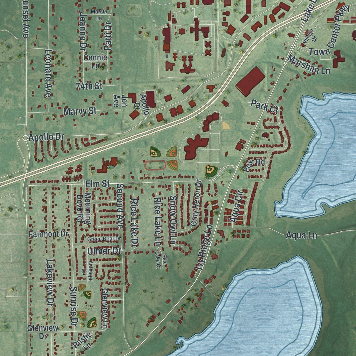
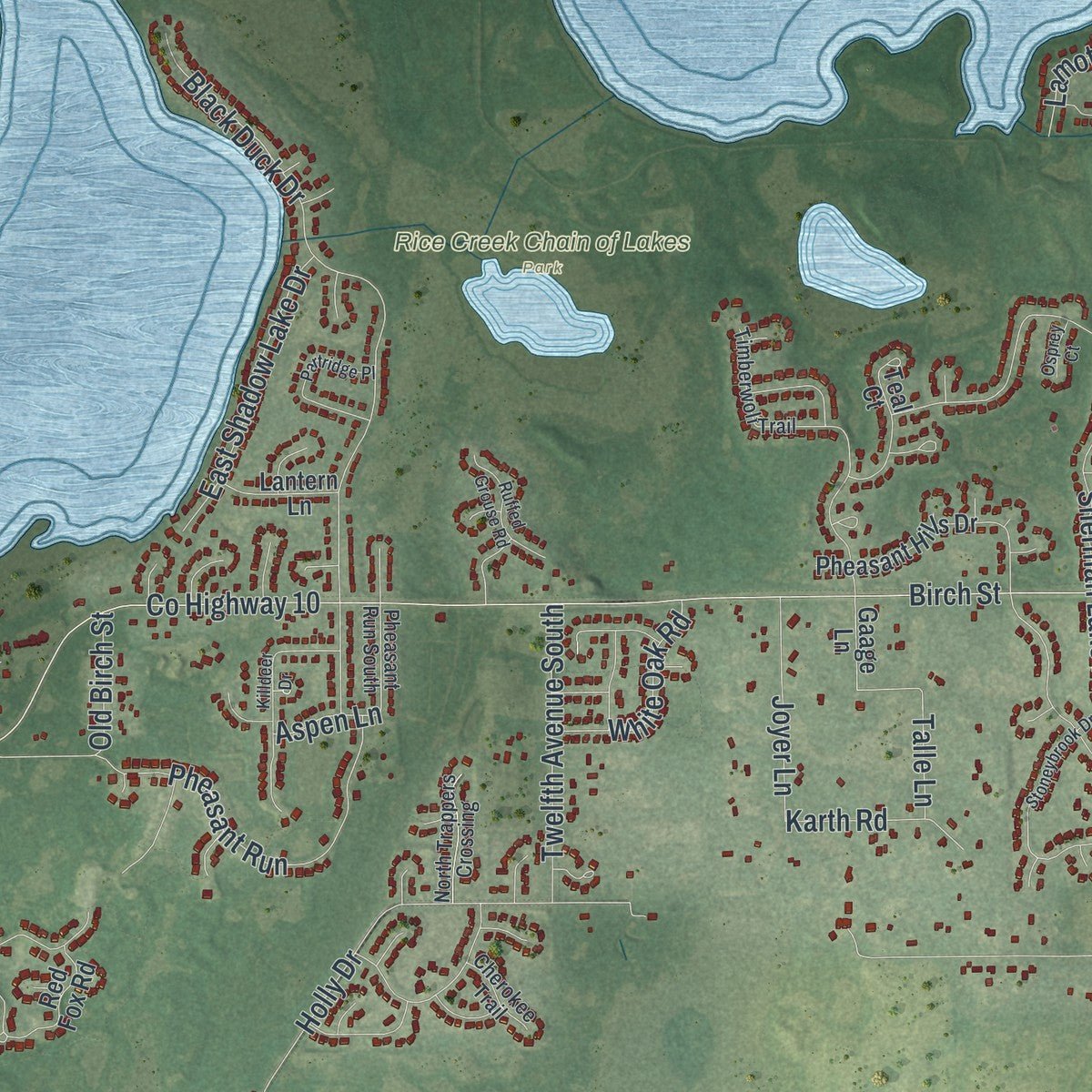
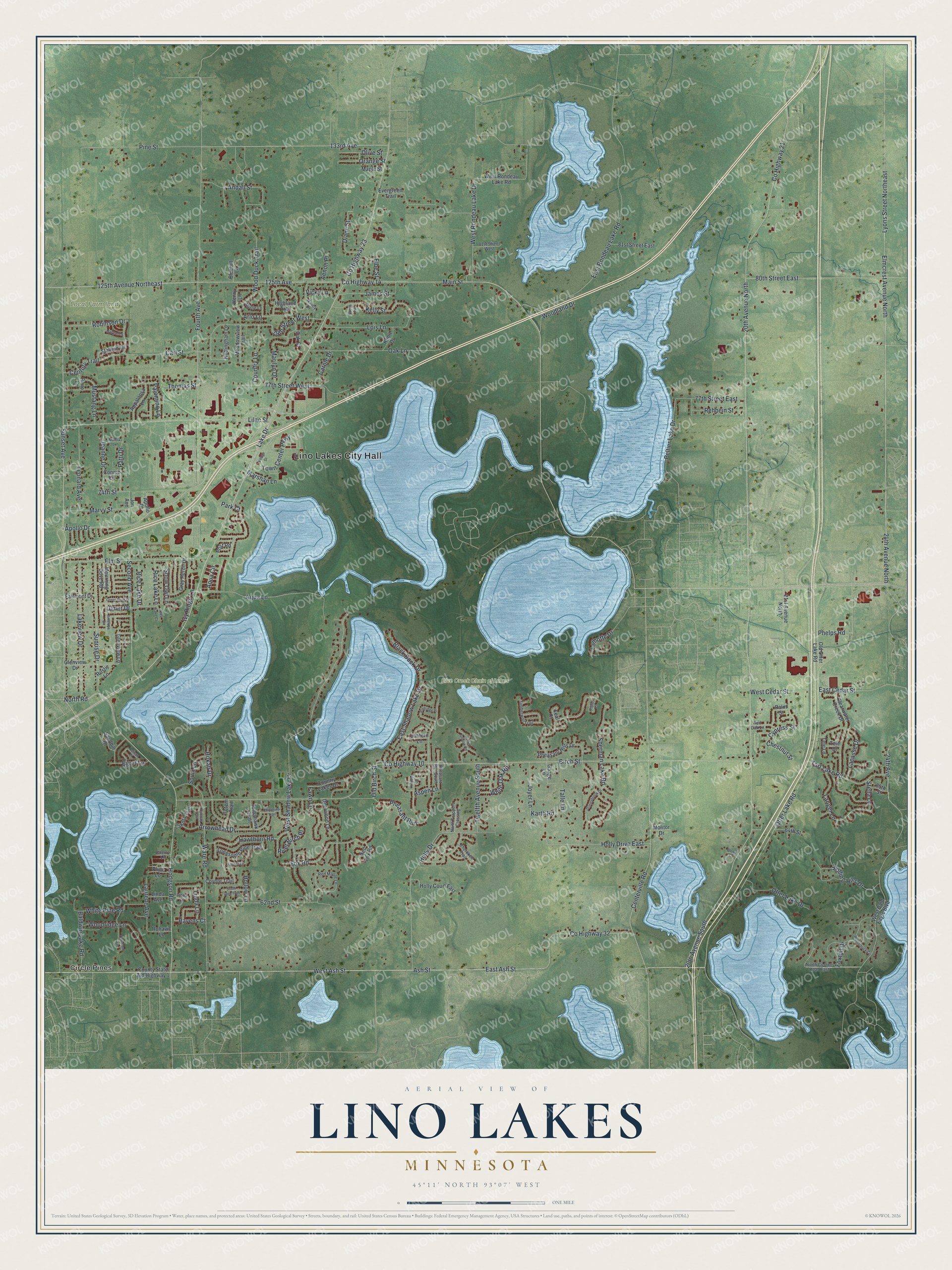
Explore Lino Lakes, Minnesota from a whole new perspective. Created using aerial imagery and detailed geographic data, this map captures Lino Lakes building by building, with labeled streets, familiar landmarks, and shaded topographical relief that highlights the natural contours of the landscape.
Combining modern data with the timeless character of a vintage atlas, this map is just as interesting up close as it is beautiful on the wall. Whether you grew up in Lino Lakes, spent memorable years there, or call it home today, this unique map is a great way to celebrate a place that means something to you. Zoom in on the preview to look for your street, and then order a print to put your memories on the wall.
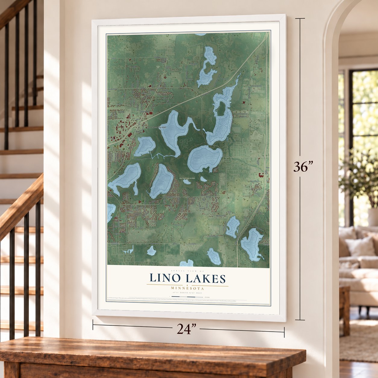
Three ways to hang it
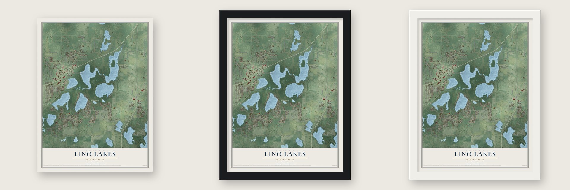
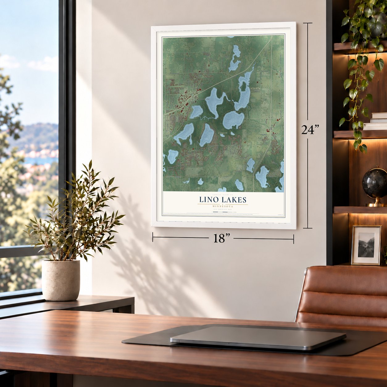
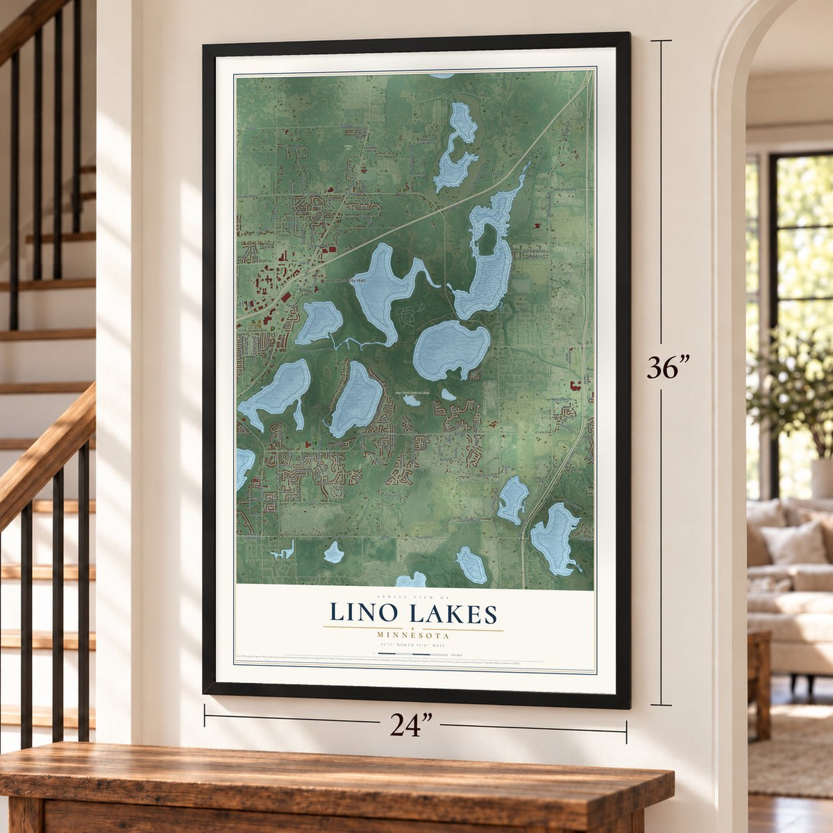
Unframed archival matte, a black wood frame or a white wood frame.
Up close
Geography Worth Displaying
This map was created using accurate cartographic data and authoritative geographic sources, including the U.S. Geological Survey and the Census Bureau. The map brings together terrain, waterways, roads, and building detail. The majority of the streets are labeled, houses are accurately depicted, and the topography is derived from government sources. Combining local data with carefully composed color and shading leads to this beautifully detailed Lino Lakes artwork for your wall.
Rather than simply showing street outlines, we’ve included as many of the street names as we could reasonably fit on the map while keeping their names legible. Zoom in on the high resolution preview to see exactly what’s on the map. We truly set out to create a statement piece for anyone who loves Lino Lakes. So whether it’s for you, or a gift for someone you love, we hope this map of Lino Lakes brings back fond memories.
Read the story behind this map of Lino Lakes, Minnesota from 2026.
About Lino Lakes, Minnesota
Lino Lakes is an Anoka County city shaped by a cluster of lakes and Rice Creek. Incorporated as a village in 1955 from most of Centerville Township, it counted 21,399 residents in the 2020 census and includes the Rice Creek Chain of Lakes Regional Park Reserve.
- Centerville Township RootsEstablished in 1857, Centerville Township contained three communities identified with German, Swedish, and French settlers.
- Village IncorporationLino Lakes incorporated on May 11, 1955, with 21,000 acres and 1,800 residents.
- Land and WaterThe city covers 33.21 square miles, including 4.99 square miles of water.
- Lakeside HeritageDakota people lived around the area's lakes before European settlers began arriving around 1850.
Find your street
Names on the Lino Lakes map
Every name below is printed on this map. Look for your street, your school, the park where you played, or the pond down the road.
Places and landmarks5
- Lino Lakes City Hall
- Local Farm land
- Rice Creek Chain of Lakes Park
- Wollan Park
- Circle Pines
Streets and roads207
- County Highway 23
- Lake Drive
- Sunset Avenue
- Apollo Drive
- 133rd Avenue
- 125th Avenue Northeast
- Hodgson Road
- 20th Avenue North
- Main Street
- County Highway 14
- Ash Street
- 125th Avenue
- Lyons Street Northeast
- County Highway 21
- West Ash Street
- Elmcrest Avenue North
- 20th Avenue South
- East Ash Street
- 24th Avenue
- Ivy Ridge Lane
- 24th Avenue North
- Lois Lane
- Aqua Lane
- Birch Street
- County Highway 10
- Otter Lake Road
- Fourth Avenue
- Pine Street
- West Shadow Lake Drive
- Centerville Road
Show all 207 streets
- East Rondeau Lake Road
- Ware Road
- Holly Drive
- Lilac Street
- Sherman Lake Road
- Black Duck Drive
- Elm Street
- Oak Lane
- 80th Street East
- Lakeview Drive
- Wood Duck Trail
- Fox Road
- Sunrise Drive
- Second Avenue
- County Highway 32
- 62nd Street
- Pheasant Run
- Palomino Lane
- Holly Drive East
- 77th Street West
- West Rondeau Lake Drive
- Woodridge Lane
- Arrowhead Drive
- Marilyn Drive
- Kelly Street
- Andall Street
- Peltier Lake Drive
- Langer Lane
- Rolling Hills Drive
- Lacasse Drive
- Leonard Avenue
- Hokah Drive
- Tart Lake Road
- Baldwin Lake Road
- Town Center Parkway
- Hawthorn Road
- Otter Lake Drive
- East Shadow Lake Drive
- 77th Street East
- Patti Drive
- East Cedar Street
- White Pine Road
- James Street
- Jeanne Drive
- Twelfth Avenue South
- Carl Street
- Marvy Street
- 79th Street West
- Aqua Circle
- North Road
- Linda Lane
- Arlo Lane
- Country Lane
- Diane Street
- Old Birch Street
- West Cedar Street
- Century Trail
- Mustang Lane
- Rehbein Street
- Laurene Avenue
- Fawn Lane
- White Oak Road
- Woodland Drive
- Joyer Lane
- Ulmer Drive
- Olive Street
- Orange Street
- Cypress Street
- Rice Lake Drive
- Rice Lake Lane
- Snow Owl Lane
- Karth Road
- Foxtail Drive
- Aspen Lane
- Egret Lane
- Carole Drive
- Lamotte Drive
- River Birch Place
- Ravens Court
- Vicky Lane
- Phelps Road
- Robinson Drive
- Thomas Street
- Marshan Lane
- Chestnut Street
- 74th Street
- Stella Lane
- Talle Lane
- Souix Lane
- Aenon Place
- Hollow Lane
- Elbe Street
- Park Court
- County State Aid Highway 1
- West Bald Eagle Boulevard
- Gaage Lane
- West Rondeau Lake Road
- Pheasant Hills Drive
- Clearwater Creek Drive
- Deerwood Lane
- Evergreen Trail
- Lonesome Pine Trail
- Coyote Trail
- Glenview Drive
- Holly Court East
- Red Fox Road
- Gray Heron Drive
- 81st Street East
- Old Otter Lake Road
- Country Lakes Drive
- Appaloosa Lane
- 64th Street
- 21st Avenue North
- Linda Avenue
- Meadowview Trail
- Stallion Lane
- Henry Lane
- Nottingham Lane
- Lakota Trail
- Highland Trail
- Post Road
- Fairmont Drive
- Pinto Lane
- Palm Street
- Glenview Lane
- Tomahawk Trail
- Totem Trail
- Mourning Dove Road
- Lantern Lane
- Knoll Drive
- Maple Street
- Rohavic Lane
- Bluebill Lane
- Sandhill Drive
- Plum Lane
- Teal Court
- Rustic Lane
- Molitor Drive
- Tele Lane
- 65th Street
- Oak Court
- Apollo Court
- Jon Avenue
- Connie Lane
- Tele Drive
- North County Line Road East
- Red Maple Lane
- Timberwolf Trail
- Nancy Drive
- North Trappers Crossing
- 81st Street West
- Red Oak Lane
- Pheasant Run South
- Cherokee Trail
- Myrtle Lane
- Cherry Lane
- Linda Court
- Village Drive
- Woodchuck Circle
- Stoneybrook Drive
- Oakwood Lane
- Partridge Place
- Killdeer Drive
- Pelican Place
- South Glen Trail
- Linden Lane
- Green Briar Drive
- Chippewa Trail
- Ruffed Grouse Road
- Antelope Drive
- Ojibway Path
- Morgan Lane
- Marcia Lane
- Rice Lake Court
- Osprey Court
- Bloom Court
- Sheila Avenue
Names are listed as they appear on the printed map. Zoom into the product photos to find them.
The art of mapping a place
How This Map Was Made
Real places. Remarkable detail. Discover the layers that turn geographic data into a map of home.

The view from above
Aerial imagery reveals the character of the land: woodland, open fields, and the patterns of a place.

The shape of the land
Elevation data brings hills, valleys, and subtle changes in the landscape into view.

The details of home
Roads, waterways, and building footprints come together to make the map feel unmistakably local.

Geography becomes art
Considered color, shading, and typography bring the layers together in a map made for your wall.


Process illustrated with Mendon, Massachusetts. Aerial imagery: USDA NAIP. Terrain: USGS 3D Elevation Program. Map details and finished artwork: KNOWOL.
The Details
About This Print
Choose an archival matte print, or a black or white Ayous wood frame. The archival matte print is unframed.
Select your size and finish above to see the matching product image and price.
Materials & Craftsmanship
A contemporary map with the character of a classic atlas, printed on archival matte paper. Optional frames are made from Ayous wood.
Your printed map does not include the watermark shown in the full-map preview.
Shipping & Delivery
Free shipping within the United States. Every print is made to order in the USA.
Buying a gift? Add a note in your cart and we'll include it. We never put prices in the package.
Prints ship within 2 to 3 business days. Allow 7 to 10 days total from ordering for delivery. Timing may vary during holidays or periods of high order volume.
Read our shipping policy.
Returns and damaged prints
Each print is made to order. Change-of-mind refunds are not available after production.
If your print arrives damaged, misprinted or incorrect, contact support@knowol.com within 30 days of receiving it. Include your order number, photos and a description of the issue.
Read our full refund and replacement policy. For questions about your order, email support@knowol.com.
Find your town
Looking for another city?
Find a map of home in our Minnesota collection, or any town in the country.
Nearby
Maps of towns near Lino Lakes
Know someone from one of these towns? Their map makes a great gift.
 Circle Pines
, Minnesota
From $39.99See the map
 Centerville
, Minnesota
From $39.99See the map
 Lexington
, Minnesota
From $39.99See the map
More maps nearby: North Oaks, Blaine, Shoreview, Mounds View and Arden Hills.