
Search for another town

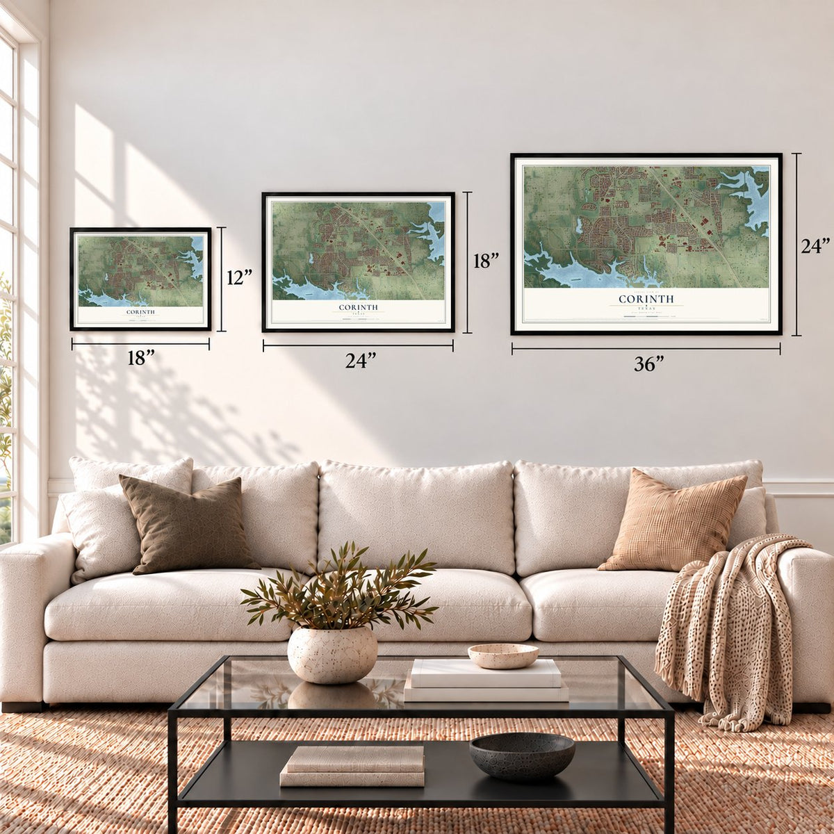

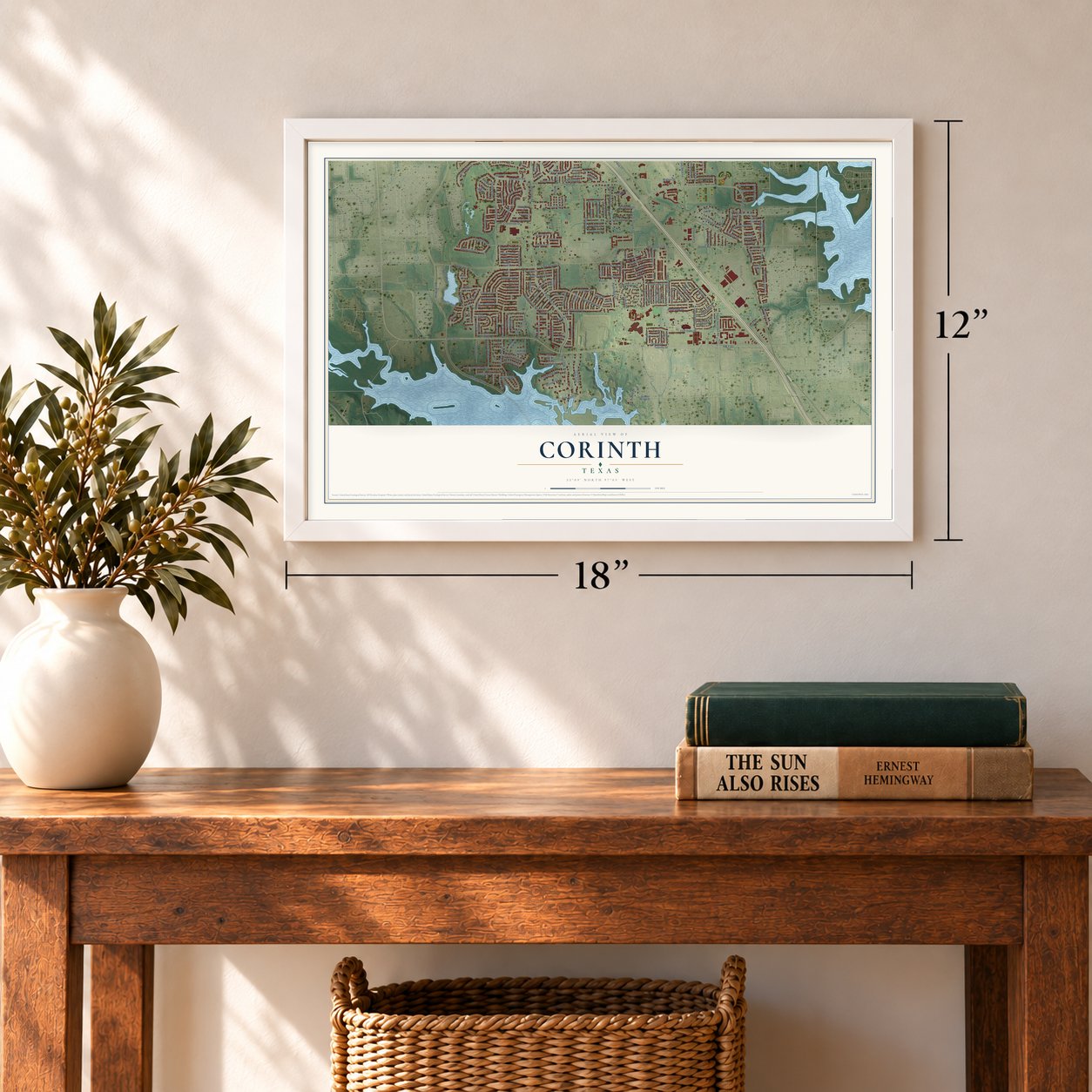
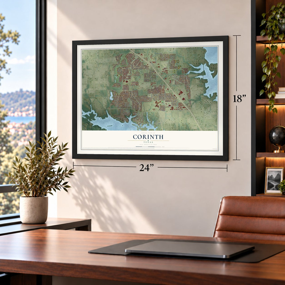
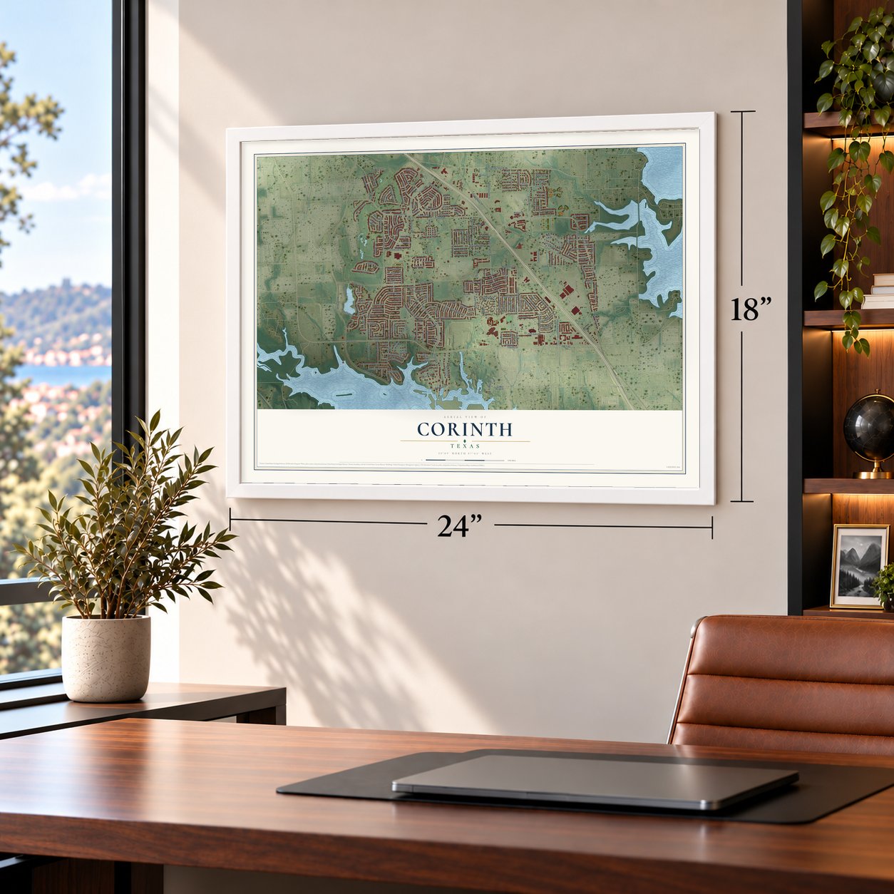


Free U.S. delivery 7 to 10 days after you order
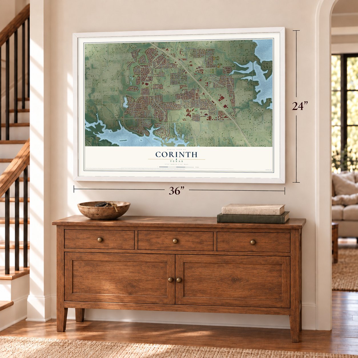
Corinth, Texas Map Art
A new map of Corinth, Texas, made in 2026 and printed to order on thick archival matte paper.
12" x 18" Archival Matte Print
A Map of Home. A Work of Art.
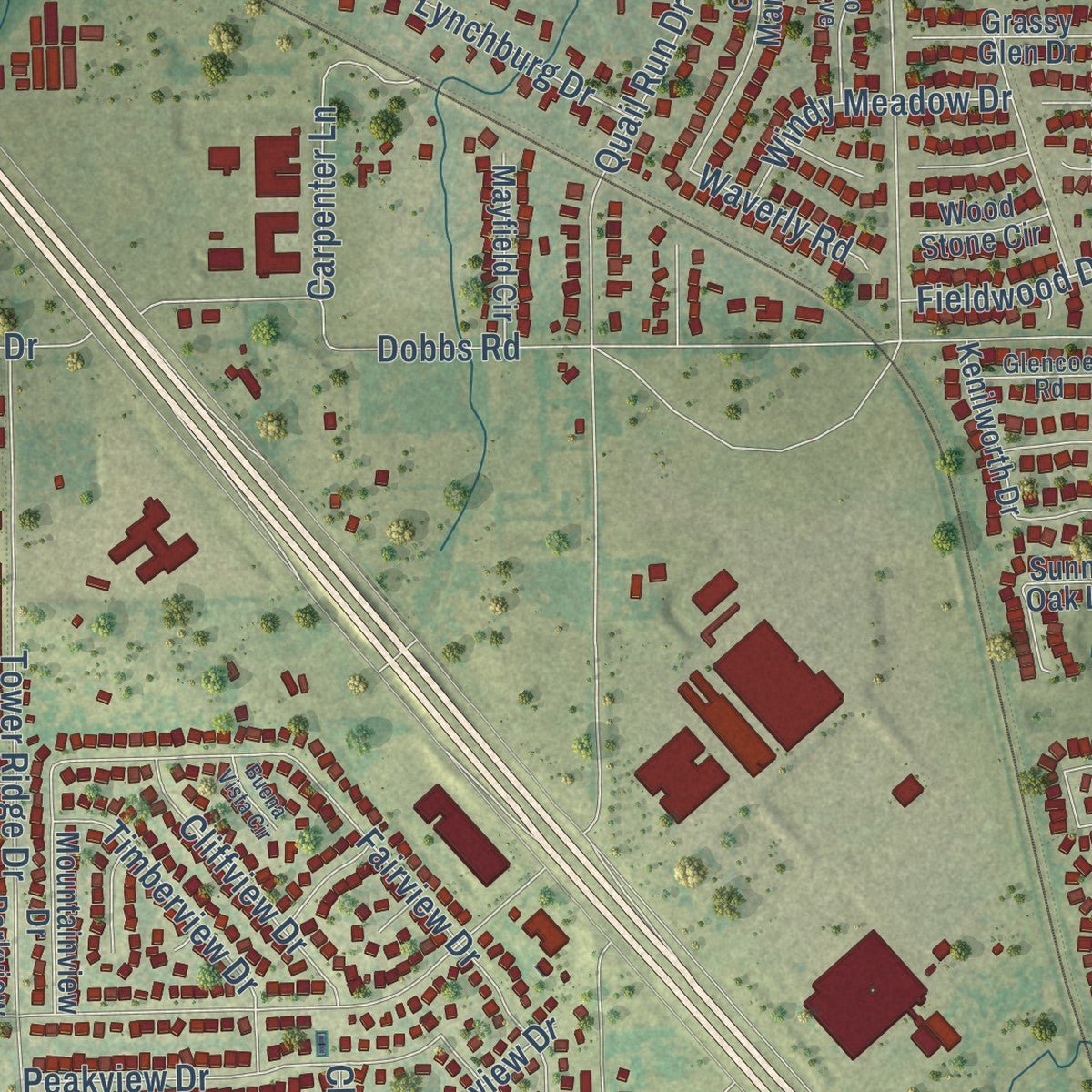
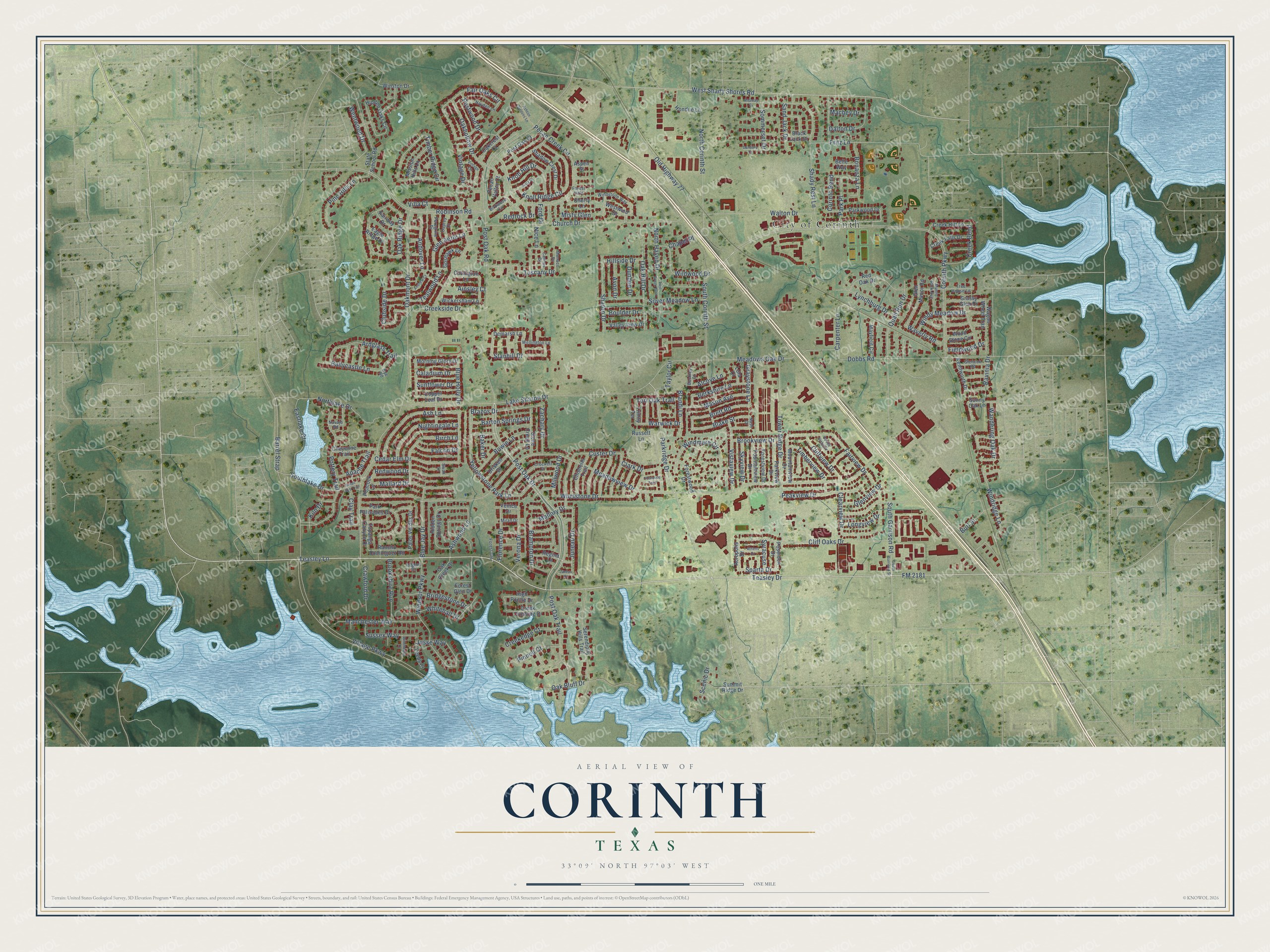
This beautifully detailed map of Corinth, Texas was created in 2026 using aerial imagery combined with modern topographical, census, street and landmark data. It's a modern aerial view of Corinth in Denton County, Texas, that combines modern data with a vintage aesthetic. Zoom in on the preview and look for your block.
Three ways to hang it
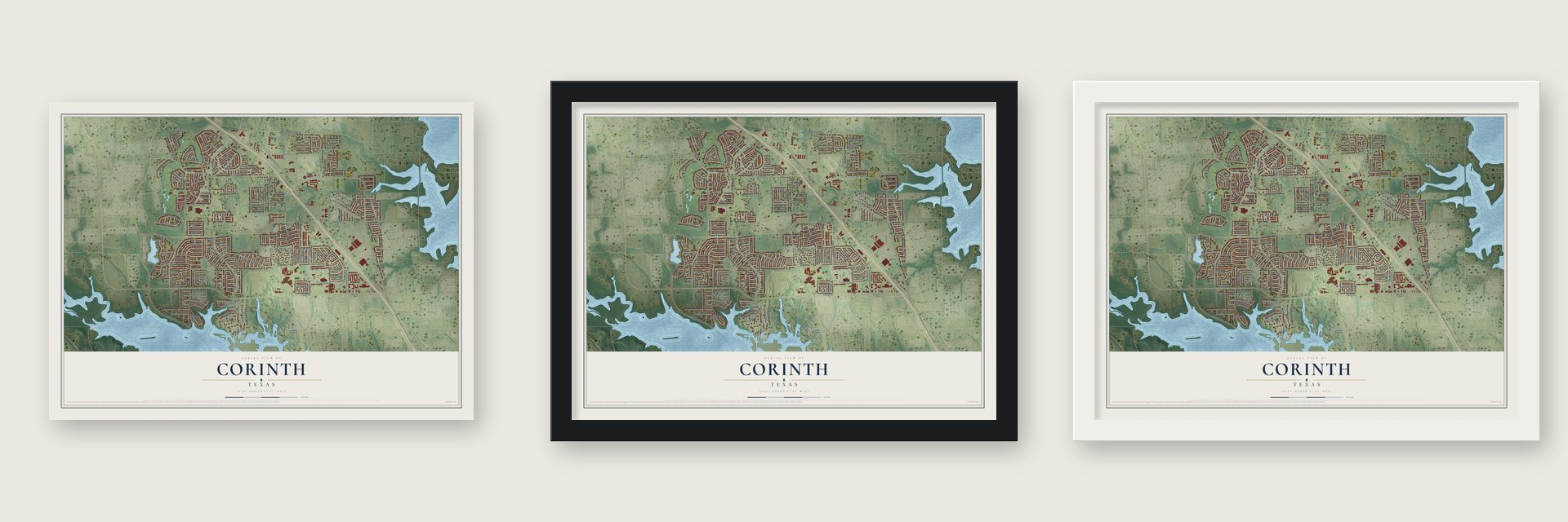
Unframed archival matte, a black wood frame or a white wood frame.
Up close
Real geography. Art worth displaying.
This map was created using accurate cartographic data and authoritative geographic sources, including the U.S. Geological Survey and the Census Bureau. The map brings together terrain, waterways, roads, and building detail. The majority of the streets are labeled, houses are accurately depicted, and the topography is derived from government sources. Combining local data with carefully composed color and shading leads to this beautifully detailed Corinth artwork for your wall.
Rather than simply showing street outlines, we’ve included as many of the street names as we could reasonably fit on the map while keeping their names legible. Zoom in on the high resolution preview to see exactly what’s on the map. We truly set out to create a statement piece for anyone who loves Corinth. So whether it’s for you, or a gift for someone you love, we hope this map of Corinth brings back fond memories.

About Corinth, Texas
Corinth is a Denton County city six miles southeast of Denton and part of the Dallas-Fort Worth metroplex. The Dallas and Wichita Railway named the community after laying tracks through the townsite in 1880. Growth accelerated with 1970s economic development along Interstate Highway 35 between Dallas and Denton, and the population reached 22,634 in the 2020 census.
- Railway OriginsThe Dallas and Wichita Railway gave Corinth its name when it built tracks through the townsite in 1880.
- Century MarkCorinth celebrated its 100th anniversary in 1980.
- Rapid GrowthThe population increased from 461 in 1970 to 11,325 in 2000.
- Two School DistrictsCorinth is divided between the Lake Dallas and Denton independent school districts.
- Local College CampusNorth Central Texas College operates one of its two Denton County branch campuses in Corinth.
Find your street
Names on the Corinth map
Every name below is printed on this map. Look for your street, your school, the park where you played, or the pond down the road.
Places and landmarks1
- City of Corinth
Streets and roads248
- FM 2181
- Post Oak Drive
- Teasley Drive
- Parkridge Drive
- Teasley Lane
- West Shady Shores Road
- Cliff Oaks Drive
- Brampton Drive
- Stanhill Drive
- Park Place
- Corinth Bend
- Mallory Drive
- Juneau Drive
- Brett Road
- Wentwood Drive
- Sparta Drive
- Corinth Parkway
- Meadowview Drive
- Oakmont Drive
- Robinson Road
- Village Parkway
- Lake Sharon Drive
- Post Oak Road
- Dobbs Road
- Pecan Creek Circle
- Church Drive
- Fairview Drive
- Vintage Drive
- Tower Ridge Drive
- Quail Run Drive
Show all 248 streets
- Barrel Strap
- Timber Ridge Circle
- Pottery Trail
- Meadows Oak Drive
- Yellowstone Park Lane
- Southlake Drive
- Shady Rest Lane
- Old Highway 77
- Oakhollow Drive
- North Corinth Street
- Oak Ridge Drive
- Windsor Parkway
- Fair Oaks Circle
- Silver Meadow Lane
- Fritz Lane
- Windmere Circle
- South Corinth Street
- Walton Drive
- Knoll Ridge Circle
- Oak Hill Drive
- Whetstone Drive
- South Garrison Road
- Creekside Drive
- North Haven Drive
- Postwood Drive
- Ash Lane
- Post Oak Trail
- Oak Bluff Drive
- Ardglass Trail
- Peakview Drive
- Custer Drive
- Manchester Way
- Birch Lane
- Cedar Elm Drive
- Northlake Drive
- Mallard Drive
- Nightingale Lane
- Pine Hills Lane
- Ballycastle Lane
- Eastlake Court
- Andover Lane
- Redwood Drive
- Sharon Drive
- Wildwood Drive
- Tuscany Drive
- Vistaview Drive
- Blue Jay Drive
- Brazos Drive
- Mason Avenue
- Bowie Lane
- Windridge Lane
- Knob Hill Drive
- Timberview Drive
- Lynchburg Drive
- Verona Drive
- Burl Street
- Dalton Drive
- Brookshire Run
- Berkshire Lane
- Villa Court
- Clark Drive
- Carpenter Lane
- Jesse Way
- Barton Springs Drive
- Creek Bend
- Cliffview Drive
- Creekedge Court
- Blake Street
- Windy Meadow Drive
- Wandering Oak Drive
- Sommerset Drive
- Florence Drive
- Glen Aerie Lane
- Ashwood Lane
- Bonanza Lane
- Crawford Drive
- Zachary Drive
- Sussex Way
- Bridgestone Drive
- Brookview Drive
- Tealwood Lane
- Pinnell Court
- Apache Trail
- Sand Jack Drive
- Glenview Drive
- Skyview Drive
- Tori Oak Trail
- Warwick Drive
- Falcon Drive
- Whitehall Drive
- Brandi Lane
- Misty Glen
- Blue Holly Drive
- Clearview Drive
- Fieldwood Drive
- Caladium Drive
- Millwood Drive
- Sunflower Drive
- Redrock Drive
- Graystone Lane
- Longview Drive
- Boulder Drive
- Hillside Drive
- Taylor Circle
- Alcove Lane
- Clay Trail
- Waverly Road
- Avon Drive
- Dundee Drive
- Macbey Drive
- Clubside Drive
- Kiln Drive
- Ravinia Drive
- Syracuse
- Chapel Place
- Scenic Drive
- Ainsley Court
- Baker Drive
- Ford Drive
- Nice Lane
- Demarsh Lane
- Palos Verdes Drive
- Acropolis Drive
- Rancho Dominguez Road
- Parkwood Drive
- Venice Drive
- Hidden Oaks Circle
- Forestwood Drive
- Hidden Springs Drive
- State School Road
- Forest Glen Drive
- Serendipity Hills Trail
- Red Oak Drive
- Driskell Drive
- Shadow Crest Drive
- Wagon Wheel Trail
- Fairway Drive
- Glen Manor Road
- Creek Crossing Drive
- Russett Lane
- Stone Creek Lane
- Mountainview Drive
- Cheyenne Trail
- Summit Ridge Drive
- Creek Hill Lane
- Chisholm Trail
- Goshawk Lane
- Fountainview Drive
- Forestview Drive
- Parkview Drive
- Hondue Lane
- Creek Falls Drive
- Mission Hills Lane
- Morning Glory Drive
- Wickersham Lane
- Copper Leaf Drive
- Topanga Canyon Drive
- Valley View Drive
- Grassy Glen Drive
- Mayfield Circle
- Park Palisades Drive
- Eagle Ridge Drive
- Kenilworth Drive
- Post Oak Court
- Leeds Court
- High Pointe Drive
- Winston Drive
- Oak Creek Drive
- Sunny Oak Lane
- Covington Lane
- Oakcrest Court
- Regina Lane
- Poseidon Drive
- Cherry Lane
- Peacock Lane
- Pecan Valley Court
- Westwind Drive
- Black Jack Drive
- Wood Stone Circle
- Belle Way
- Trinity Terrace
- Lula Court
- Aspen Street
- Crockett Drive
- Tree House Lane
- Windstone Way
- Hayden Lane
- Navajo Road
- Munro Park Avenue
- Cannes Drive
- Peregrine Drive
- Glencoe Road
- Wellington Lane
- Osprey Court
- Forest Gln
- Monaco Drive
- Birdwood Circle
- Milan Drive
- Forest Hills
- Regent Court
- Beckley Court
- Swan Lane
- Nash Drive
- Rye Road
- South Garrison Street
- Twin Brook Turn
- Vintage Circle
- Indian Lake Trail
- Ashton Gardens Lane
- Vista Court
- Athens Drive
- Winchester Court
- Danbury Cv
- Andrew Court
- Cherokee Trail
- Attaway Cv
- Buena Vista Circle
- Juneau Court
Names are listed as they appear on the printed map. Zoom into the product photos to find them.
The art of mapping a place
How This Map Was Made
Real places. Remarkable detail. Discover the layers that turn geographic data into a map of home.

The view from above
Aerial imagery reveals the character of the land: woodland, open fields, and the patterns of a place.

The shape of the land
Elevation data brings hills, valleys, and subtle changes in the landscape into view.

The details of home
Roads, waterways, and building footprints come together to make the map feel unmistakably local.

Geography becomes art
Considered color, shading, and typography bring the layers together in a map made for your wall.


Process illustrated with Mendon, Massachusetts. Aerial imagery: USDA NAIP. Terrain: USGS 3D Elevation Program. Map details and finished artwork: KNOWOL.
The Details
About This Print
Choose an archival matte print, or a black or white Ayous wood frame. The archival matte print is unframed.
Select your size and finish above to see the matching product image and price.
Materials & Craftsmanship
A contemporary map with the character of a classic atlas, printed on archival matte paper. Optional frames are made from Ayous wood.
Your printed map does not include the watermark shown in the full-map preview.
Shipping & Delivery
Free shipping within the United States. Every print is made to order in the USA.
Buying a gift? Add a note in your cart and we'll include it. We never put prices in the package.
Prints ship within 2 to 3 business days. Allow 7 to 10 days total from ordering for delivery. Timing may vary during holidays or periods of high order volume.
Read our shipping policy.
Returns and damaged prints
Each print is made to order. Change-of-mind refunds are not available after production.
If your print arrives damaged, misprinted or incorrect, contact support@knowol.com within 30 days of receiving it. Include your order number, photos and a description of the issue.
Read our full refund and replacement policy. For questions about your order, email support@knowol.com.
Find your town
Looking for another city?
Find a map of home in our Texas collection.
Nearby
Maps of towns near Corinth
Know someone from one of these towns? Their map makes a great gift.
 Shady Shores
, Texas
From $39.99See the map
 Lake Dallas
, Texas
From $39.99See the map
 Hickory Creek
, Texas
From $39.99See the map
More maps nearby: Copper Canyon, Highland Village, Lantana, Oak Point and Lakewood Village.