
Search for another town
Free U.S. delivery 7 to 10 days after you order
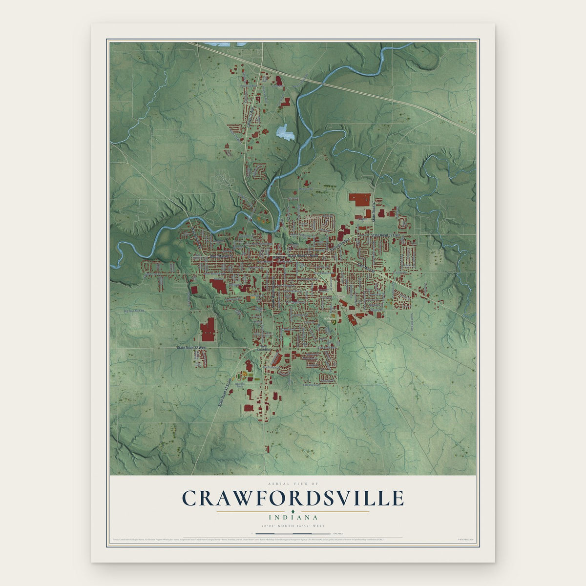
Crawfordsville, Indiana Map Art
Building by building, with labeled streets and shaded relief.
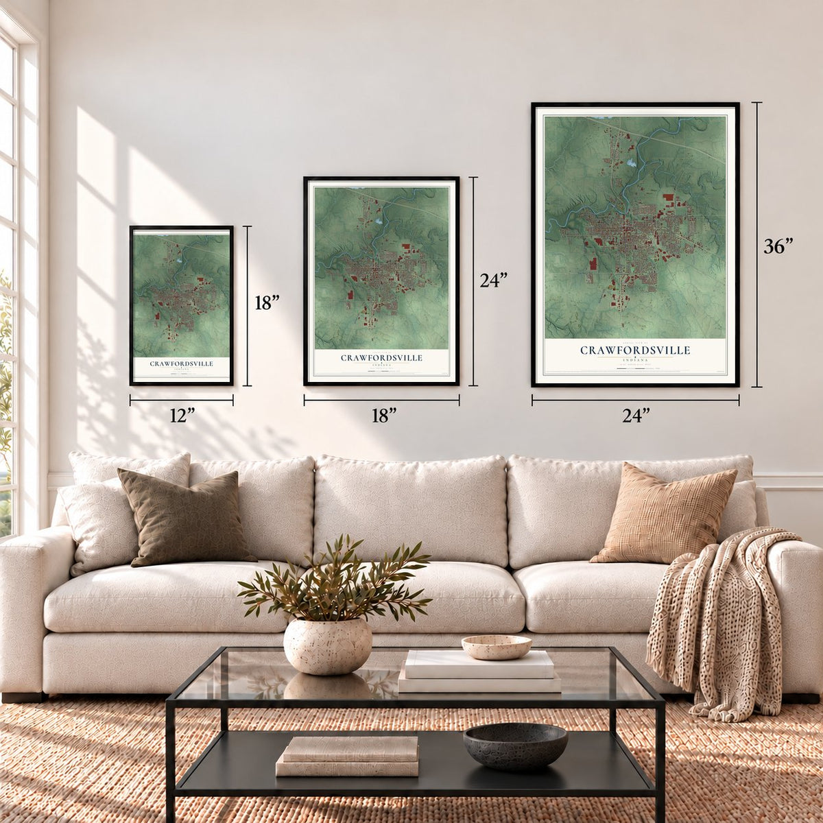
12" x 18" Archival Matte Print
A Map of Home. A Work of Art.
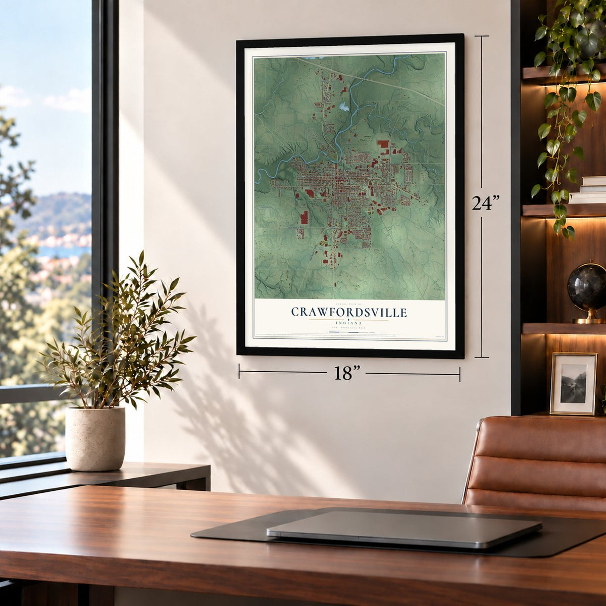
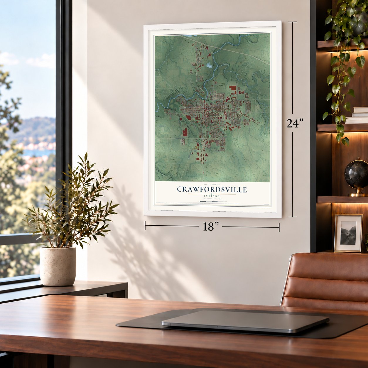
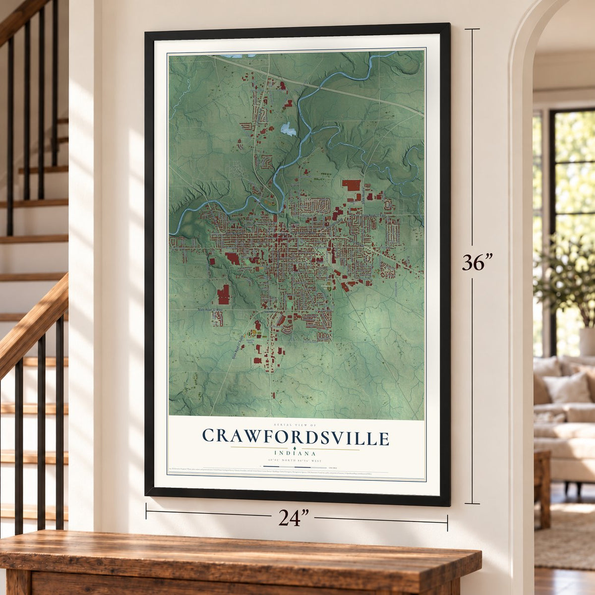
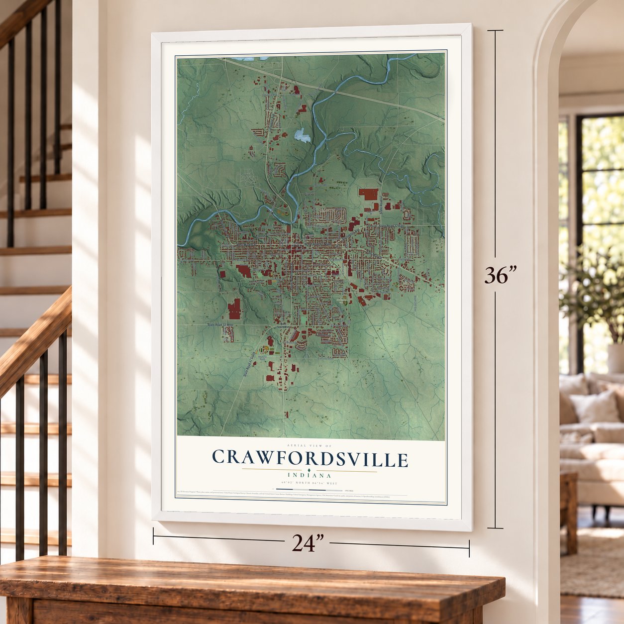
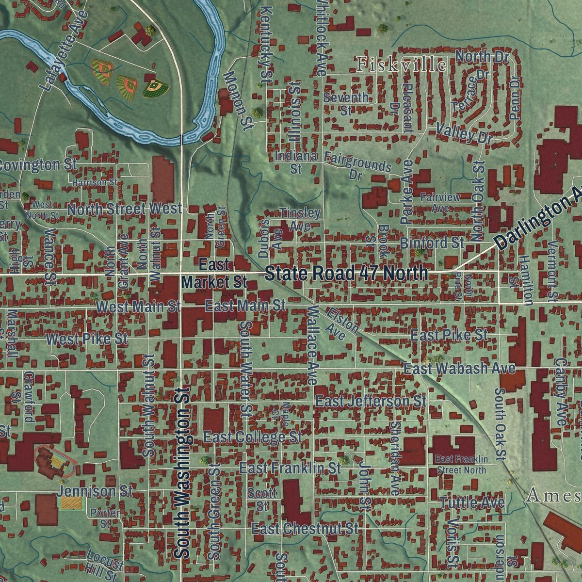
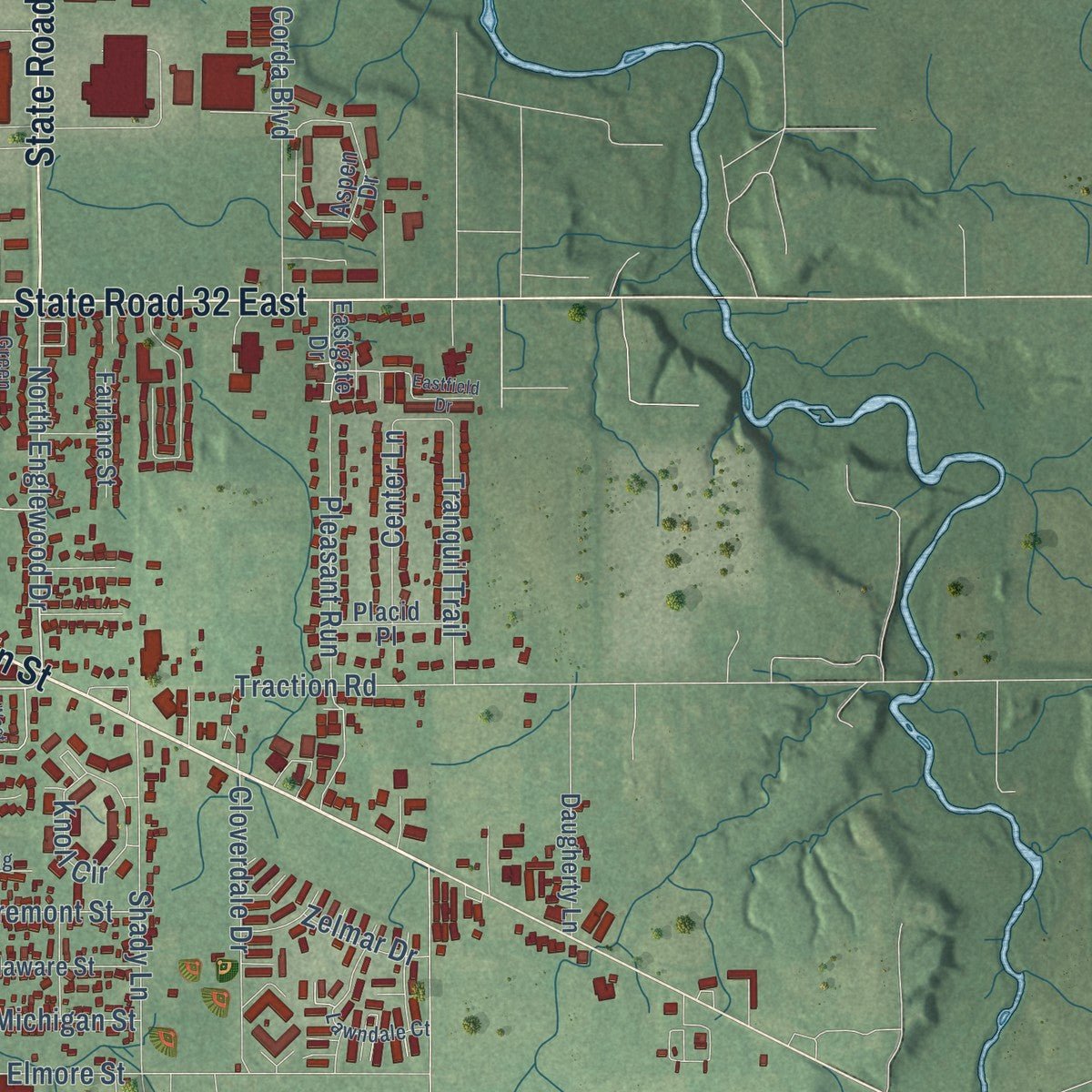
Explore Crawfordsville, Indiana from a whole new perspective. Created using aerial imagery and detailed geographic data, this map captures Crawfordsville building by building, with labeled streets, familiar landmarks, and shaded topographical relief that highlights the natural contours of the landscape.
Combining modern data with the timeless character of a vintage atlas, this map is just as interesting up close as it is beautiful on the wall. Whether you grew up in Crawfordsville, spent memorable years there, or call it home today, this unique map is a great way to celebrate a place that means something to you. Zoom in on the preview to look for your street, and then order a print to put your memories on the wall.

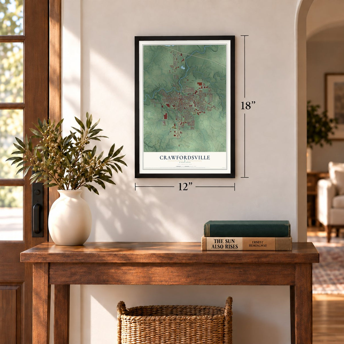
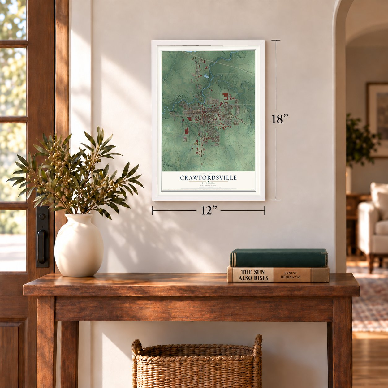
Three ways to hang it
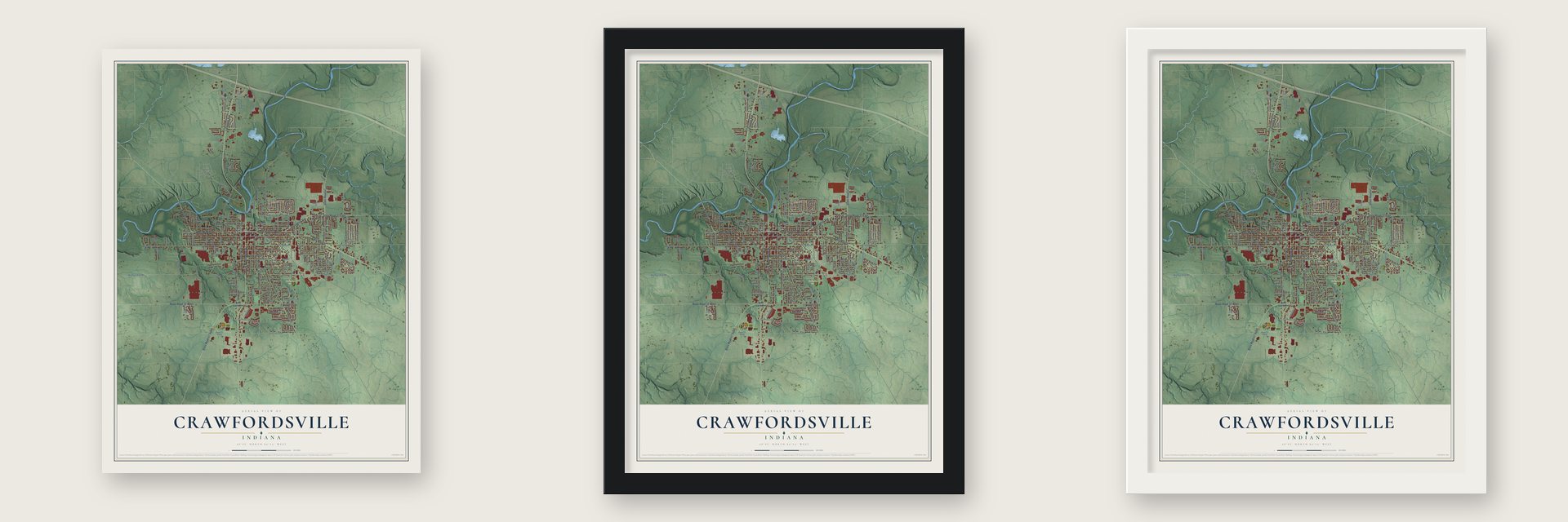
Unframed archival matte, a black wood frame or a white wood frame.
Up close
Geography Worth Displaying
This map was created using accurate cartographic data and authoritative geographic sources, including the U.S. Geological Survey and the Census Bureau. The map brings together terrain, waterways, roads, and building detail. The majority of the streets are labeled, houses are accurately depicted, and the topography is derived from government sources. Combining local data with carefully composed color and shading leads to this beautifully detailed Crawfordsville artwork for your wall.
Rather than simply showing street outlines, we’ve included as many of the street names as we could reasonably fit on the map while keeping their names legible. Zoom in on the high resolution preview to see exactly what’s on the map. We truly set out to create a statement piece for anyone who loves Crawfordsville. So whether it’s for you, or a gift for someone you love, we hope this map of Crawfordsville brings back fond memories.
Read the story behind this map of Crawfordsville, Indiana from 2026.
Find your street
Names on the Crawfordsville map
Every name below is printed on this map. Look for your street, your school, the park where you played, or the pond down the road.
Places and landmarks3
- Ames
- Fiskville
- Milligan Park
Streets and roads191
- State Road 47 North
- East Main Street
- West Market Street
- Waynetown Road
- State Road 32 East
- Lafayette Avenue
- South Washington Street
- State Road 47 South
- State Road 32 West
- State Road 47
- Darlington Avenue
- East Wabash Avenue
- West Main Street
- North Englewood Drive
- West Wabash Avenue
- North Oak Street
- Milligan Street
- South Grant Avenue
- Traction Road
- Pleasant Run
- South Elm Street
- Elmore Street
- Big Four Arch Road
- East College Street
- East 150 South
- Memorial Drive
- Concord Road
- Mill Street
- Whitlock Avenue
- East South Boulevard
Show all 191 streets
- West Pike Street
- Wayne Avenue
- Jennison Street
- East Chestnut Street
- Schenck Road
- John Street
- East Pike Street
- Danville Avenue
- East Jefferson Street
- Covington Street
- South Walnut Street
- South 200 East
- South Water Street
- East Franklin Street
- Louise Avenue
- South Grace Avenue
- South Green Street
- Ladoga Road
- Binford Street
- Industrial Boulevard
- Wallace Avenue
- Parke Avenue
- Fremont Street
- Corda Boulevard
- Valley Drive
- Kentucky Street
- Tuttle Avenue
- Spann Avenue
- Sloan Street
- Shady Lane
- Lane Avenue
- Phil Ward Boulevard
- Tranquil Trail
- Durham Drive
- Everett Street
- Dry Branch Drive
- North 100 West
- Cloverdale Drive
- North Street West
- Hughes Street
- Prospect Street
- Dunn Avenue
- Smith Avenue
- Knoll Circle
- Wilson Avenue
- Meridian Street
- North Concord Road
- 150 North
- North Drive
- Ridgeway Drive
- Imperial Court
- Country Club Road
- Curtis Street
- Bluff Street
- List Street
- Center Lane
- Mercedes Drive
- Embassy Drive
- Michigan Street
- Monon Street
- Athens Street
- Canby Avenue
- Risner Street
- Gandhi Drive
- Illinois Street
- Vance Street
- Tech Drive
- Voris Street
- Ray Street
- Zelmar Drive
- East Market Street
- West South Boulevard
- South Gate Drive
- Aspen Drive
- Sugar Tree Road
- South Oak Street
- North Grace Avenue
- North Grant Avenue
- Corey Boulevard
- North Walnut Street
- Sheridan Avenue
- Crawfordsville Square Drive
- West 150 South
- Russell Avenue
- Brook Street
- Copperleaf Drive
- South Barr Street
- Delaware Street
- Shadow Wood Drive
- Crawford Drive
- Country Club Court
- Vermont Street
- Thornwood Road
- South West Street
- Southfork Drive
- Fairgrounds Drive
- Eastgate Drive
- Elston Avenue
- Daugherty Lane
- Pleasant Drive
- Union Street
- Hamilton Street
- Southside Drive
- Westwood Drive
- Anderson Street
- Coachlight Drive
- Fairlane Street
- Deer Cliff Drive
- Placid Place
- Locust Hill Street
- Marshall Street
- Terrace Drive
- South Blair Street
- Crawford Street
- Lincoln Street
- Kennedy Place
- Country Club Terrace
- Dubois Avenue
- Seventh Street
- Cherry Street
- Tinsley Avenue
- Indiana Street
- Johnson Drive
- Penn Drive
- High Street
- Glenn Street
- Helm Street
- Scott Street
- Lawndale Court
- South Boulevard
- Green Acres Drive
- Park Forest Drive
- Payton Street
- North Green Street
- Northridge Hills
- Fairview Avenue
- Ben Hur Drive
- Plum Street
- South Vine Street
- Glenn Knecht Drive
- Garden Street
- Kraig Drive
- Hubbard Street
- Silver Leaf Drive
- North Barr Street
- Porter Street
- Lebanon Road
- Eastfield Drive
- East Franklin Street North
- West North Street
- Center Drive
- Oak Hill Road
- Harrison Street
- Elm Street Extension
- Delegates Row
- Walter Remley Drive
- Martin Lane
- South Avenue
- West Park Lane
- Maple Court
- North Pine Street
Names are listed as they appear on the printed map. Zoom into the product photos to find them.
About Crawfordsville, Indiana
Crawfordsville is a city of 16,306 people and the county seat of Montgomery County, on Sugar Creek. In 1813 three men, Williamson Dunn, Henry Ristine and Major Ambrose Whitlock, looked over this spot and judged it good for settling, with forest, good soil and water close by. Ten years later Whitlock came back, laid out the town in March 1823 and became its first settler.
He named it for William H. Crawford, the Secretary of the Treasury, because Crawford had issued the commission that made Whitlock Receiver of Public Lands. The first newspaper came out on October 18, 1831, and a first try at incorporation failed that year before the town succeeded in 1834. It added a bank and a fire department as it grew, and Indiana granted Crawfordsville its city charter in 1865.
“Crawfordsville is the only town between Terre Haute and Fort Wayne... Maj. Ristine keeps tavern in a two-story log house and Jonathan Powers has a little grocery.”
- Wabash College since 1832Presbyterian missionaries founded Wabash College here in November 1832 and first called it the Wabash Teachers Seminary and Manual Labor College. A paid notice of its opening ran in the Crawfordsville Record on December 18, 1833. The college later dropped its church tie and is one of three all-male liberal arts colleges left in the country. Its teams play DePauw every year for the Monon Bell, and in 1982 they took the NCAA Division III basketball championship.
- Ben-Hur in 1880Lew Wallace, a Civil War general who spent most of his life in Crawfordsville, wrote Ben-Hur: A Tale of the Christ in 1880. The town was also home to the writers Maurice Thompson, Will H. Thompson, Mary Hannah and Caroline Virginia Krout, Susan Wallace and Meredith Nicholson, and it earned the nickname "The Athens of Indiana."
- A rotary jail from 1882In 1882 the county opened one of the country's first rotary jails here, and it held prisoners until 1972. Now a museum, the Montgomery County Jail and Sheriff's Residence joined the National Register in 1975.
- State champions in 1911Crawfordsville's YMCA team hosted Lafayette's on March 16, 1894, in a game long called Indiana's first, though later research found other towns played earlier. That same year Wabash and Purdue met at the YMCA in one of the earliest college games. Crawfordsville High School, founded in 1911, won Indiana's first high school basketball title right away.
- A clock tower back in 2018The courthouse lost its clock tower in 1941 over fears for the structure. A committee raised money for more than twenty years, and on May 17, 2018, a new tower built by Campbellsville Industries of Kentucky was set on the original base. At its dedication on June 17, its bells and chimes rang for the first time.
Keep exploring Indiana
Crawfordsville is one of 1,023 Indiana towns we've mapped. Every dot on the map is a print of its own.
The search covers every state, Indiana first.
Near Crawfordsville
Order 2 or more town maps and save 10%. Shown in the size and finish you picked above, so they hang as a set.
- Mace 12" x 18" / Archival Matte Print $39.99
- Linnsburg 12" x 18" / Archival Matte Print $39.99
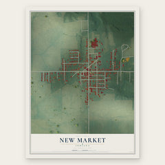
- New Market 12" x 18" / Archival Matte Print $39.99


More maps nearby: Lake Holiday, Darlington, Alamo, Waynetown and Ladoga.
The art of mapping a place
How This Map Was Made
Real places. Remarkable detail. Discover the layers that turn geographic data into a map of home.

The view from above
Aerial imagery reveals the character of the land: woodland, open fields, and the patterns of a place.

The shape of the land
Elevation data brings hills, valleys, and subtle changes in the landscape into view.

The details of home
Roads, waterways, and building footprints come together to make the map feel unmistakably local.

Geography becomes art
Considered color, shading, and typography bring the layers together in a map made for your wall.


Process illustrated with Mendon, Massachusetts. Aerial imagery: USDA NAIP. Terrain: USGS 3D Elevation Program. Map details and finished artwork: KNOWOL.
The Details
About This Print
Choose an archival matte print, or a black or white Ayous wood frame. The archival matte print is unframed.
Select your size and finish above to see the matching product image and price.
Materials & Craftsmanship
A contemporary map with the character of a classic atlas, printed on archival matte paper. Optional frames are made from Ayous wood.
Your printed map does not include the watermark shown in the full-map preview.
Shipping & Delivery
Free shipping within the United States. Every print is made to order in the USA.
Buying a gift? Add a note in your cart and we'll include it. We never put prices in the package.
Prints ship within 2 to 3 business days. Allow 7 to 10 days total from ordering for delivery. Timing may vary during holidays or periods of high order volume.
Read our shipping policy.
Returns and damaged prints
Each print is made to order. Change-of-mind refunds are not available after production.
If your print arrives damaged, misprinted or incorrect, contact support@knowol.com within 30 days of receiving it. Include your order number, photos and a description of the issue.
Read our full refund and replacement policy. For questions about your order, email support@knowol.com.