
Search for another town
Free U.S. delivery 7 to 10 days after you order
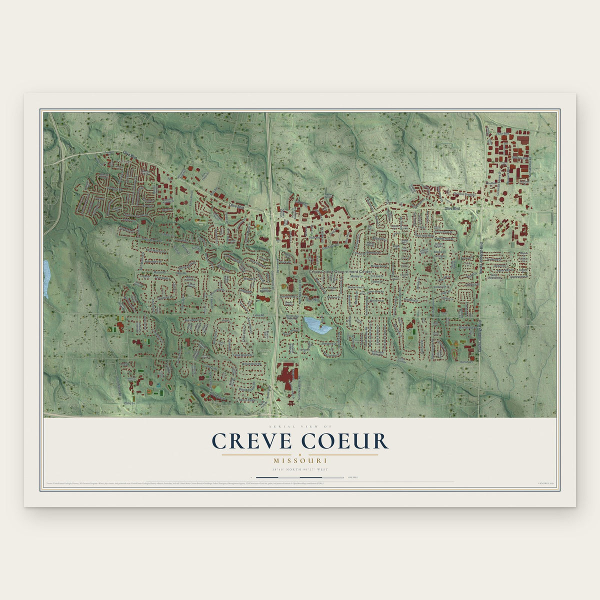
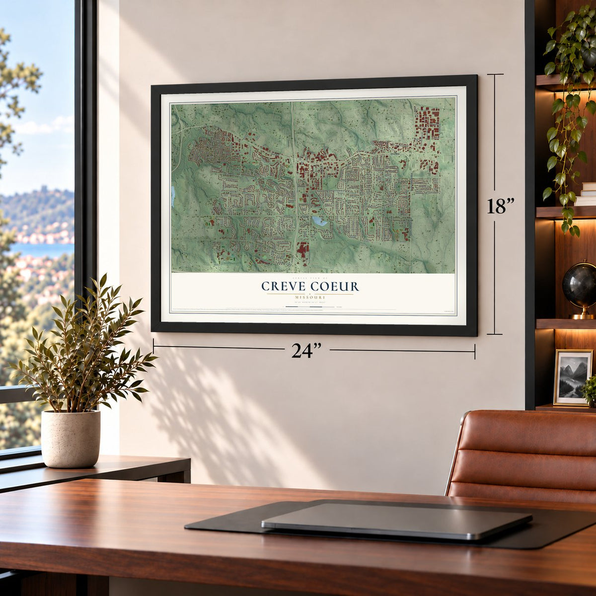
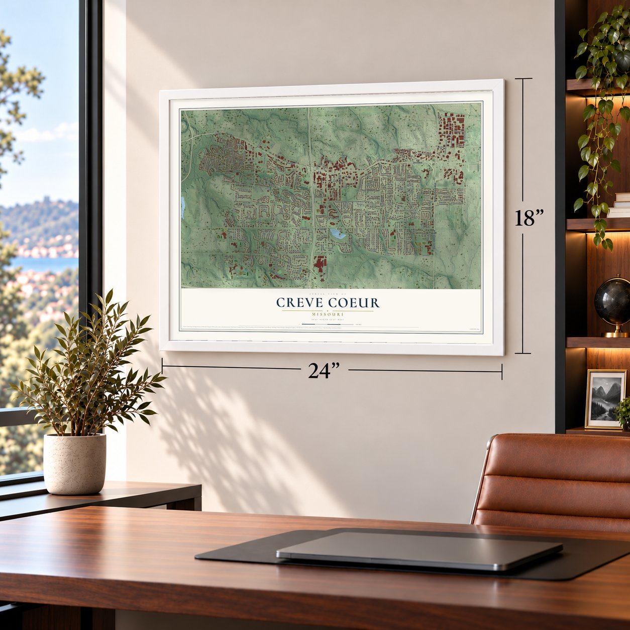
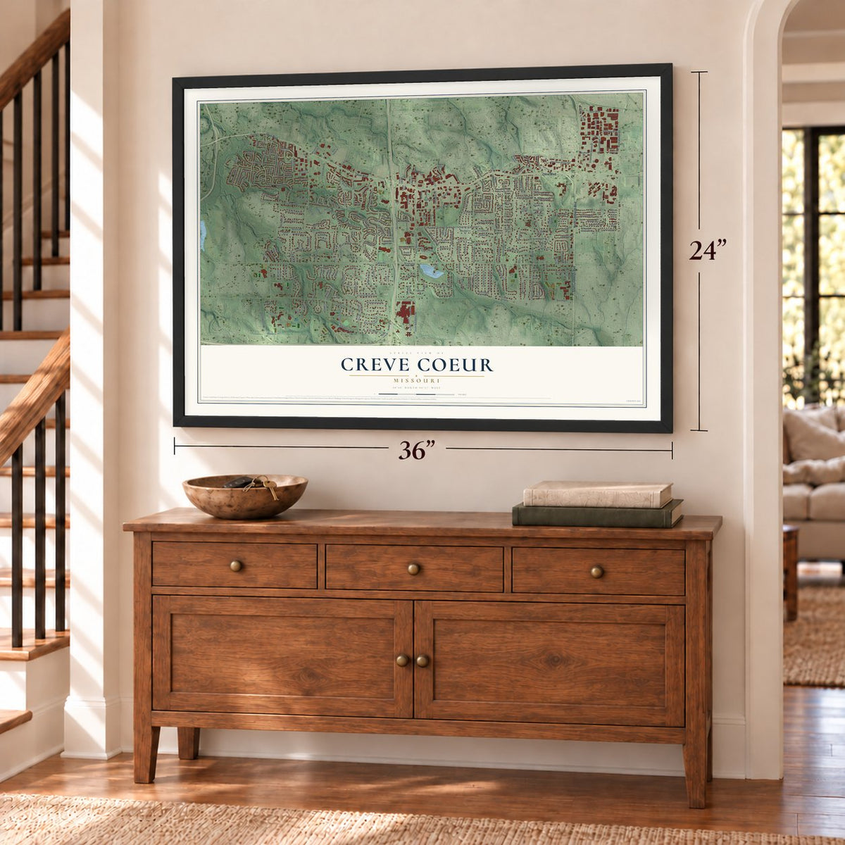
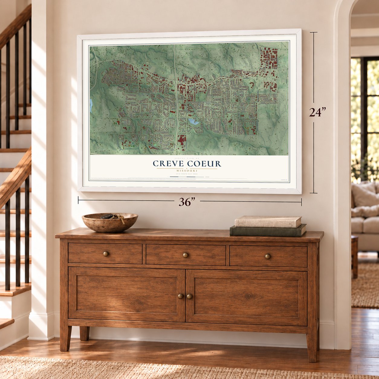
Creve Coeur, Missouri Map Art
Building by building, with labeled streets and shaded relief.
12" x 18" Archival Matte Print
A Map of Home. A Work of Art.
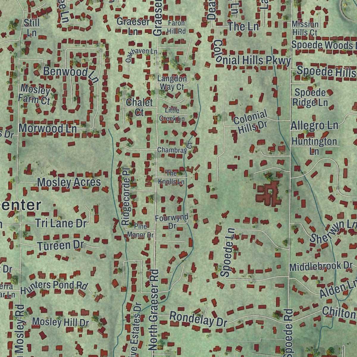
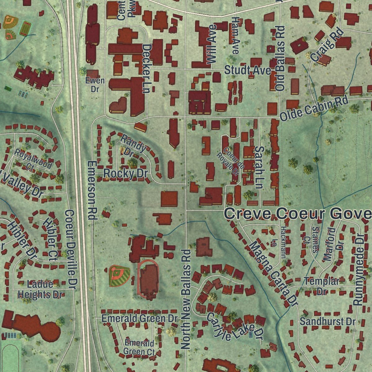
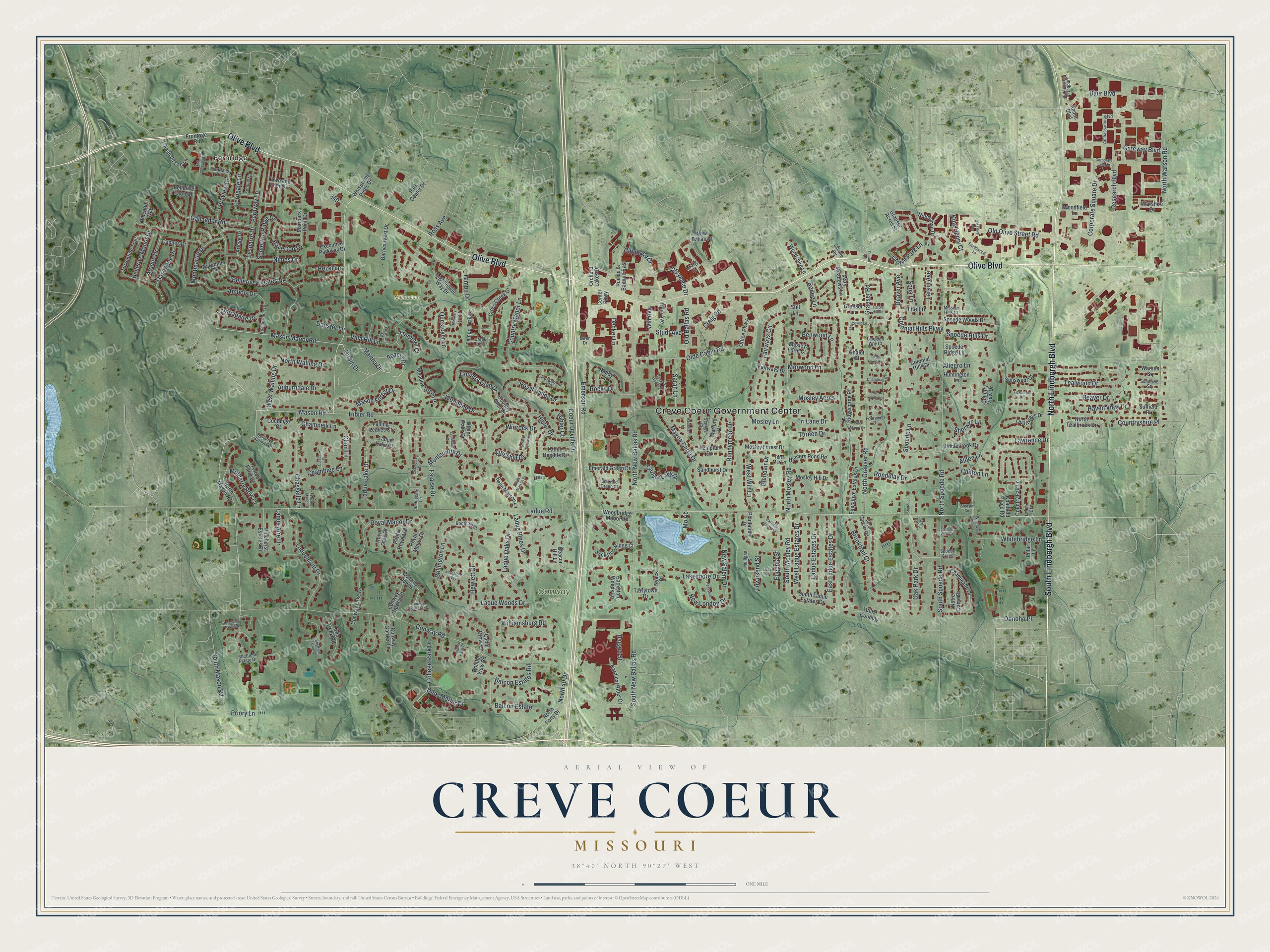
Explore Creve Coeur, Missouri from a whole new perspective. Created using aerial imagery and detailed geographic data, this map captures Creve Coeur building by building, with labeled streets, familiar landmarks, and shaded topographical relief that highlights the natural contours of the landscape.
Combining modern data with the timeless character of a vintage atlas, this map is just as interesting up close as it is beautiful on the wall. Whether you grew up in Creve Coeur, spent memorable years there, or call it home today, this unique map is a great way to celebrate a place that means something to you. Zoom in on the preview to look for your street, and then order a print to put your memories on the wall.
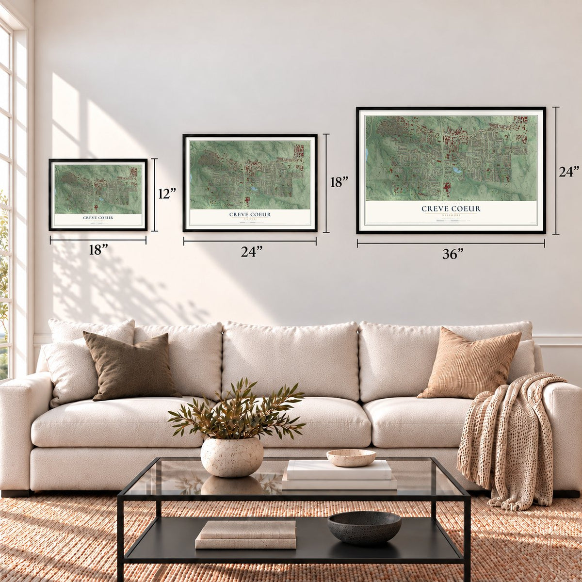
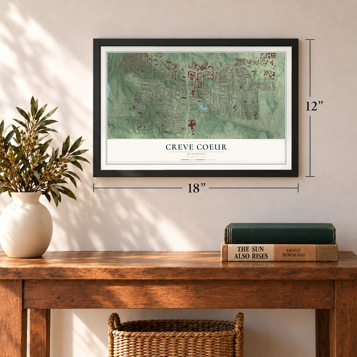
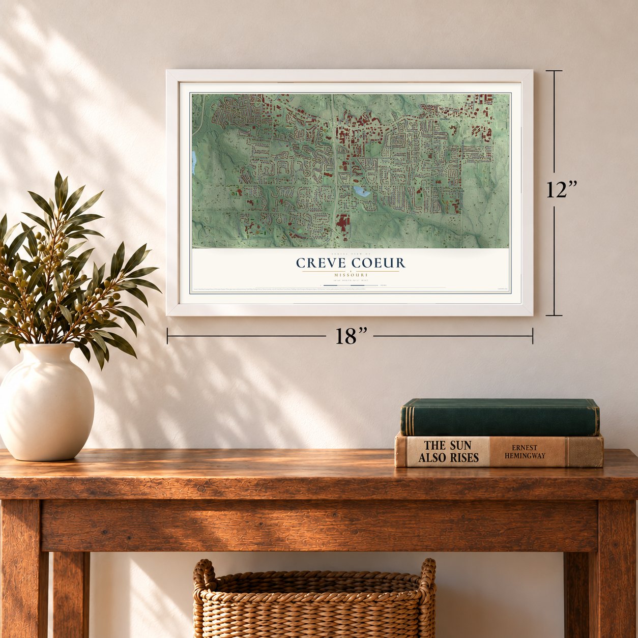
Three ways to hang it
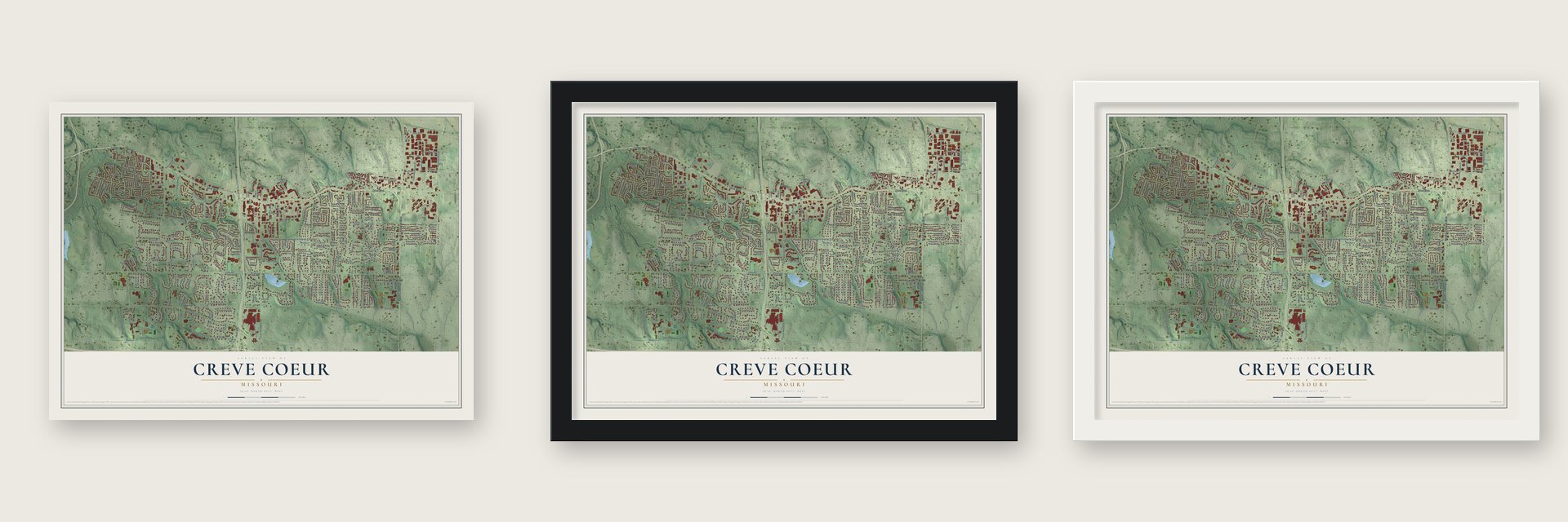
Unframed archival matte, a black wood frame or a white wood frame.
Up close
Geography Worth Displaying
This map was created using accurate cartographic data and authoritative geographic sources, including the U.S. Geological Survey and the Census Bureau. The map brings together terrain, waterways, roads, and building detail. The majority of the streets are labeled, houses are accurately depicted, and the topography is derived from government sources. Combining local data with carefully composed color and shading leads to this beautifully detailed Creve Coeur artwork for your wall.
Rather than simply showing street outlines, we’ve included as many of the street names as we could reasonably fit on the map while keeping their names legible. Zoom in on the high resolution preview to see exactly what’s on the map. We truly set out to create a statement piece for anyone who loves Creve Coeur. So whether it’s for you, or a gift for someone you love, we hope this map of Creve Coeur brings back fond memories.
Read the story behind this map of Creve Coeur, Missouri from 2026.
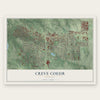
Find your street
Names on the Creve Coeur map
Every name below is printed on this map. Look for your street, your school, the park where you played, or the pond down the road.
Places and landmarks4
- Creve Coeur Government Center
- Fernridge
- Conway Park
- Millennium Park
Streets and roads294
- Olive Boulevard
- North Lindbergh Boulevard
- South Lindbergh Boulevard
- Mason Road
- Hiram Drive
- Acacia Drive
- Ladue Road
- South Mason Road
- Mason Manor Road
- Cityplace Drive
- Clion Lane
- Renee Lane
- Conway Road
- North Warson Road
- North Spoede Road
- North New Ballas Road
- Graeser Road
- North Graeser Road
- Coeur Deville Drive
- Hibler Road
- Emerson Road
- North Mosley Road
- Tealwood Drive
- South New Ballas Road
- Falaise Drive
- Research Boulevard
- Old Olive Street Road
- Old Ballas Road
- Williamsburg Road
- Fernview Drive
Show all 294 streets
- Country Manor Lane
- Fairways Circle
- Bellerive Manor Drive
- Ambois Drive
- Questover Lane
- Magna Carta Drive
- Craig Road
- Bellerive Estates Drive
- Balcon Estate
- Balcon Estates Road
- Morwood Lane
- Royal Manor Drive
- Chasselle Lane
- Laduemont Drive
- Runnymede Drive
- Baur Boulevard
- Royal Valley Drive
- Tempo Drive
- Corporate Square Drive
- Spoede Lane
- South Spoede Road
- Oak Park Drive
- Carlyle Lake Drive
- Ladue Oaks Drive
- Villa Hill Lane
- Brooktrail Court
- Bellington Lane
- College Park Drive
- Lakeshore Drive
- Fernway Lane
- Beaver Drive
- East Ladue Estates Drive
- Ladue Lake Drive
- Ladue Estates Drive
- Chase Park Lane
- South Mosley Road
- West Ladue Estates Drive
- Somerton Ridge Drive
- Montsouris Drive
- Rondelay Drive
- Chamblee Lane
- Whitebridge Lane
- Mason Forest Drive
- Studt Avenue
- Decker Lane
- Gallagher Road
- Country Glen Drive
- Ferngate Lane
- City Place Drive
- Lampadaire Drive
- Priory Lane
- North Walling Drive
- Montmartre Drive
- New London Drive
- Auburndale Drive
- Haven View Drive
- Colonial Hills Parkway
- Hibler Drive
- West Win Lane
- Winrock Drive
- Olde Cabin Road
- North 40 Drive
- Mulberry Row Court
- Rocky Drive
- Nimes Drive
- Donoho Place
- Sherwyn Lane
- Benwood Lane
- Champeix Lane
- New Salem Drive
- Ladue Pines Drive
- Allegro Lane
- Ladue Woods Drive
- Haverton Drive
- Gascogne Drive
- Tri Lane Drive
- Sarah Lane
- Alden Lane
- Aramis Drive
- Spoede Hills Drive
- Chilton Lane
- Mosley Acres
- Lawrence Drive
- West Walling Drive
- Martha Drive
- Tureen Drive
- Blendair Drive
- Hewlett Court
- Dink-Marler Drive
- Larkin Avenue
- Countryshire Place
- Kingshill Drive
- Gateway Boulevard
- Ladue Aire Drive
- Woodline Drive
- King Henry Court
- Townsend Street
- Deaver Avenue
- Mosley Lane
- Sona Lane
- Eugenia Street
- Hezel Lane
- Trammel Court
- Baggot Street
- Lesparre Drive
- Dauster Lane
- Will Avenue
- The Lane
- Hibler Court
- Ross Avenue
- Mo Ab
- North Mason Road
- Sackston Woods Lane
- North Tealbrook Drive
- Craig Court
- Andes Boulevard
- Country Fair Lane
- Park Center Drive
- Beacon Hill Lane
- Cross Creek Drive
- Lighthouse Way Drive
- Executive Parkway Drive
- Colonial Hills Drive
- Country View Drive
- Chaminade Drive
- Barnes West Drive
- Country Glen Lane
- Office Parkway
- Rue de la Banque East
- Meadow Green Place
- Falling Leaves Court
- Bellerive Farm Drive
- Mariners Point Drive
- Conway Lake Drive
- North Forty Drive
- New Ballas Place
- Chalet Court
- Turrentine Trail
- Sunswept Drive
- Quailways Drive
- Emerald Green Drive
- Town and Four Drive
- Executive Estates Drive
- Tempo Trail Drive
- Conway Downs
- Spoede Woods Drive
- Sackston Ridge Court
- Cannes Drive
- Marford Drive
- Randy Drive
- Twin Creek Road
- Mosley Forest Drive
- Hunters Pond Road
- Pinehurst Estates Drive
- Mosley Hill Drive
- Cardinal Ritter Drive
- Conway Garden Court
- Royal Gate Drive
- South Ladue Estates Drive
- Village du Lac Lane
- Belle Maison Lane
- Templar Drive
- Conway Garden Lane
- Royal Manor Court
- Middlebrook Drive
- Notre Dame Drive
- Tufton Farm Court
- Mary Meadows Lane
- Plantation Drive
- Cabin Grove Lane
- Whispering Pines Drive
- Petite Royale Court
- Ridgecorde Place
- Woodshire Lane
- Woodfield Lane
- Ladue Heights Drive
- Narbonne Drive
- Woodbridge Manor Road
- Sandhurst Drive
- Nobleman Drive
- Fairways Drive
- Hibler Oaks Drive
- Chatfield Place Road
- Graeser Acres Street
- Frontage Road
- Villa Coublay
- Huntington Lane
- Rolling View Road
- Ladue Lake Court
- Ariege Drive
- Warshire Drive
- Tarrytown Drive
- Wheaton Way
- Mosley Farm Court
- Nyack Drive
- Graeser Lane
- Orchard Lakes Drive
- Coulange Court
- Ham Avenue
- Pillar Lane
- Spoede Ridge Lane
- Suffield Place
- Warson Square
- Center Parkway
- Still Lane
- Sheffield Estate Drive
- South Graeser Road
- Ambassador Boulevard
- Emerald Green Court
- Ferntrails Lane
- Terra Mar Lane
- Rue de Fleur Drive
- Boothbay Court
- Lindbergh Plaza Center
- Ambleside Lane
- Fourwynd Drive
- Fernpark Drive
- Staines Court
- Bellerive Springs Drive
- Spoede Acres
- Mission Hills Court
- Royalwood Court
- Mulligan Street
- Sundown Square
- Creek Run Drive
- Langdon Way Court
- Carillon Court
- Schulte Road
- Ladue Court
- Ewen Drive
- Corporate Lake Drive
- Broadview Farm Road
- Coeur de Royale Drive
- Prince Towne Drive
- Shardue Lane
- Foxbrook Drive
- Elzey Street
- Carriage Square Drive
- Litcheford Way
- Mill Crossing Drive
- Hackmann Lane
- Lyonnais Drive
- Brodsky Circle
- Mulberry Tree Court
- Peekskill Drive
- Oakhaven Lane
- Belle Maison Court
- Chambray Court
- Ravenwood Lane
- West White Bridge Lane
- Cuiseaux Court
- Chamonix Court
- Conway Holmes Circle
- The Knolls Lane
- Pine Manor Drive
- Little Creek Lane
- Sheffield Estate Court
- Faron Hill Road
- Wexler Manor Court
- Old Olive Way
- Dautel Lane
- Conway Aire Drive
- Oak Park Court
- Spoede View Court
Names are listed as they appear on the printed map. Zoom into the product photos to find them.
About Creve Coeur, Missouri
Creve Coeur is a Missouri city in St. Louis County. A total of 18,834 people lived here when the 2020 census was taken. Historical and geographic accounts add that its reported area is 10.27 square miles, and municipal incorporation dates to 1949.
- 18,834 residentsThis was the population recorded by the 2020 United States census.
- St. Louis CountyThis is the Missouri county that contains Creve Coeur.
- 10.27 square milesThe Census Bureau gives this figure for the community's total area.
- Incorporated in 1949Municipal incorporation took place in 1949.
Keep exploring Missouri
Creve Coeur is one of 1,207 Missouri towns we've mapped. Every dot on the map is a print of its own.
The search covers every state, Missouri first.
Near Creve Coeur
Order 2 or more town maps and save 10%. Shown in the size and finish you picked above, so they hang as a set.
- Westwood 12" x 18" / Archival Matte Print $39.99
- Frontenac 12" x 18" / Archival Matte Print $39.99
- Country Life Acres 12" x 18" / Archival Matte Print $39.99
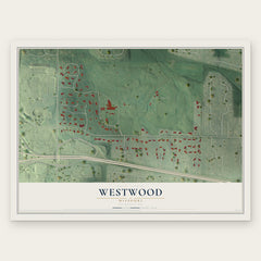
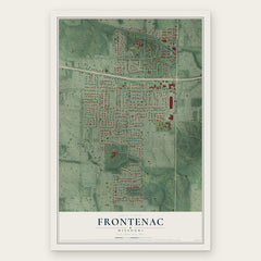
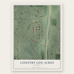
More maps nearby: Town and Country, Crystal Lake Park, Olivette, Ladue and Huntleigh.
The art of mapping a place
How This Map Was Made
Real places. Remarkable detail. Discover the layers that turn geographic data into a map of home.

The view from above
Aerial imagery reveals the character of the land: woodland, open fields, and the patterns of a place.

The shape of the land
Elevation data brings hills, valleys, and subtle changes in the landscape into view.

The details of home
Roads, waterways, and building footprints come together to make the map feel unmistakably local.

Geography becomes art
Considered color, shading, and typography bring the layers together in a map made for your wall.


Process illustrated with Mendon, Massachusetts. Aerial imagery: USDA NAIP. Terrain: USGS 3D Elevation Program. Map details and finished artwork: KNOWOL.
The Details
About This Print
Choose an archival matte print, or a black or white Ayous wood frame. The archival matte print is unframed.
Select your size and finish above to see the matching product image and price.
Materials & Craftsmanship
A contemporary map with the character of a classic atlas, printed on archival matte paper. Optional frames are made from Ayous wood.
Your printed map does not include the watermark shown in the full-map preview.
Shipping & Delivery
Free shipping within the United States. Every print is made to order in the USA.
Buying a gift? Add a note in your cart and we'll include it. We never put prices in the package.
Prints ship within 2 to 3 business days. Allow 7 to 10 days total from ordering for delivery. Timing may vary during holidays or periods of high order volume.
Read our shipping policy.
Returns and damaged prints
Each print is made to order. Change-of-mind refunds are not available after production.
If your print arrives damaged, misprinted or incorrect, contact support@knowol.com within 30 days of receiving it. Include your order number, photos and a description of the issue.
Read our full refund and replacement policy. For questions about your order, email support@knowol.com.