
Search for another town





Free U.S. delivery 7 to 10 days after you order
Olivette, Missouri Map Art
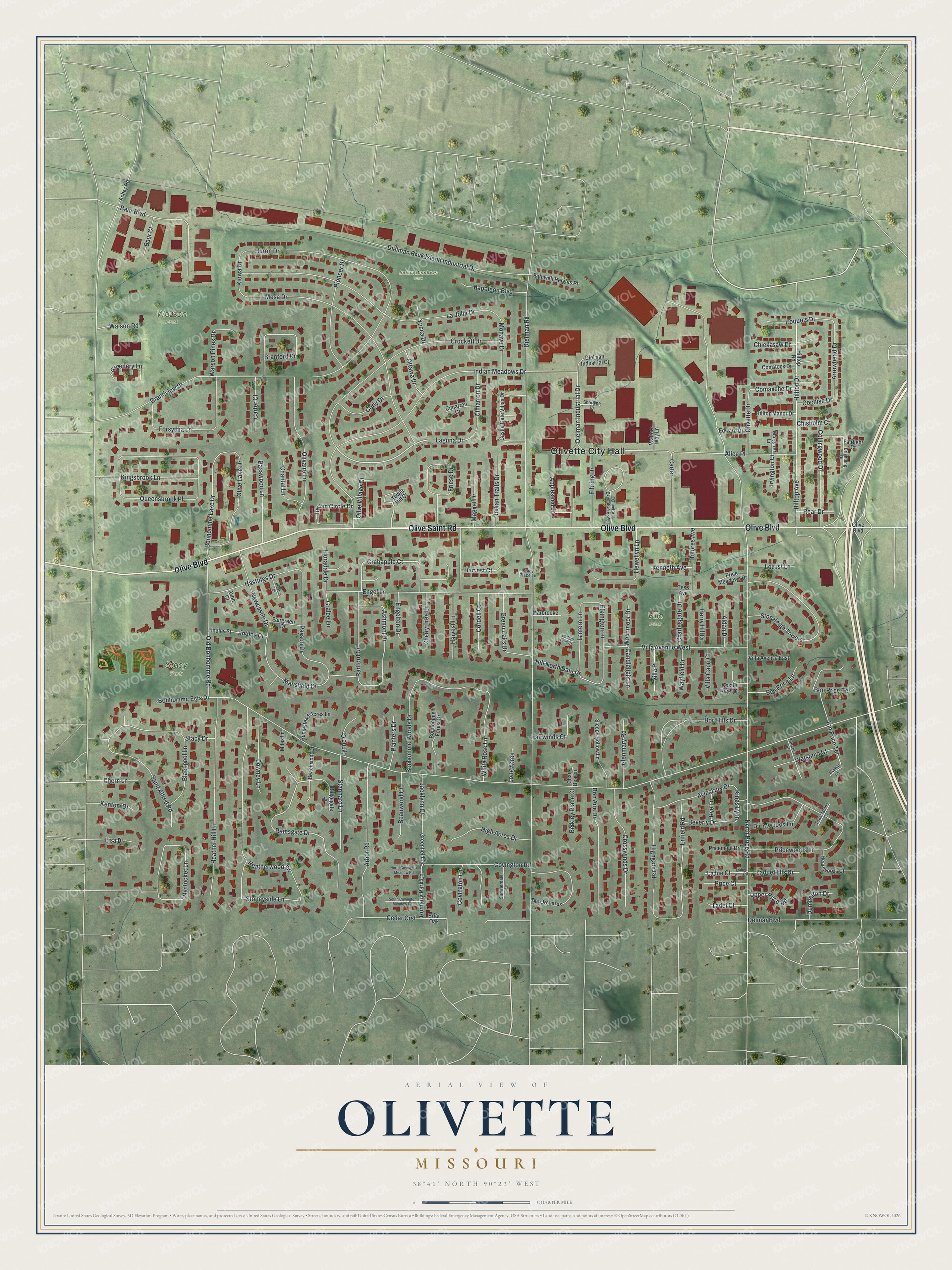
A new map of Olivette, Missouri, made in 2026 and printed to order on thick archival matte paper.
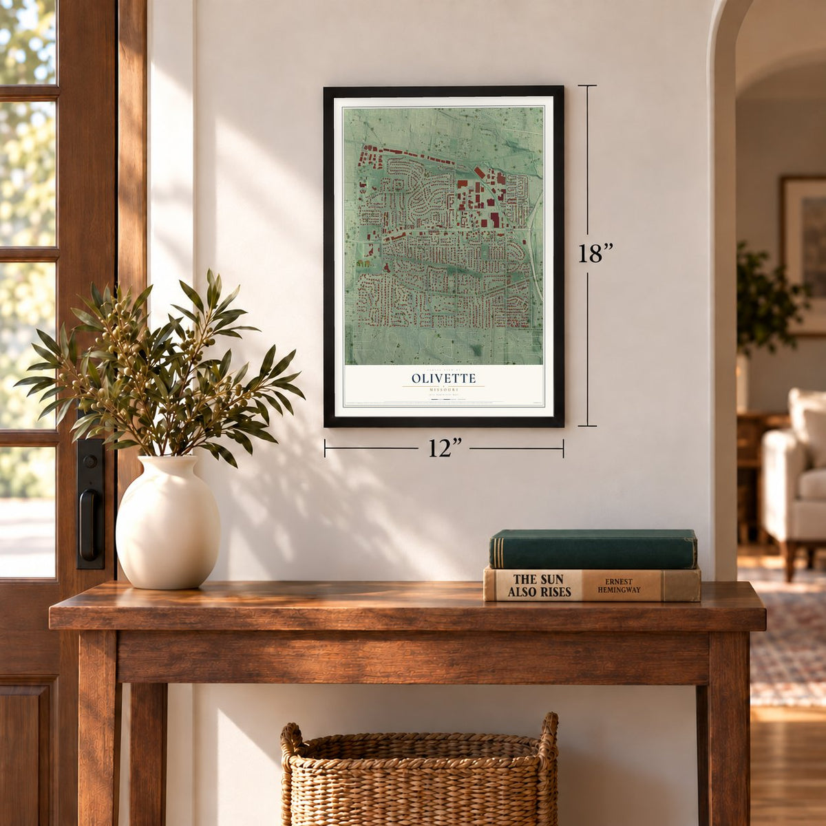
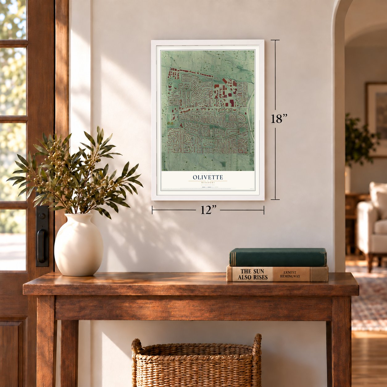
12" x 18" Archival Matte Print
A Map of Home. A Work of Art.
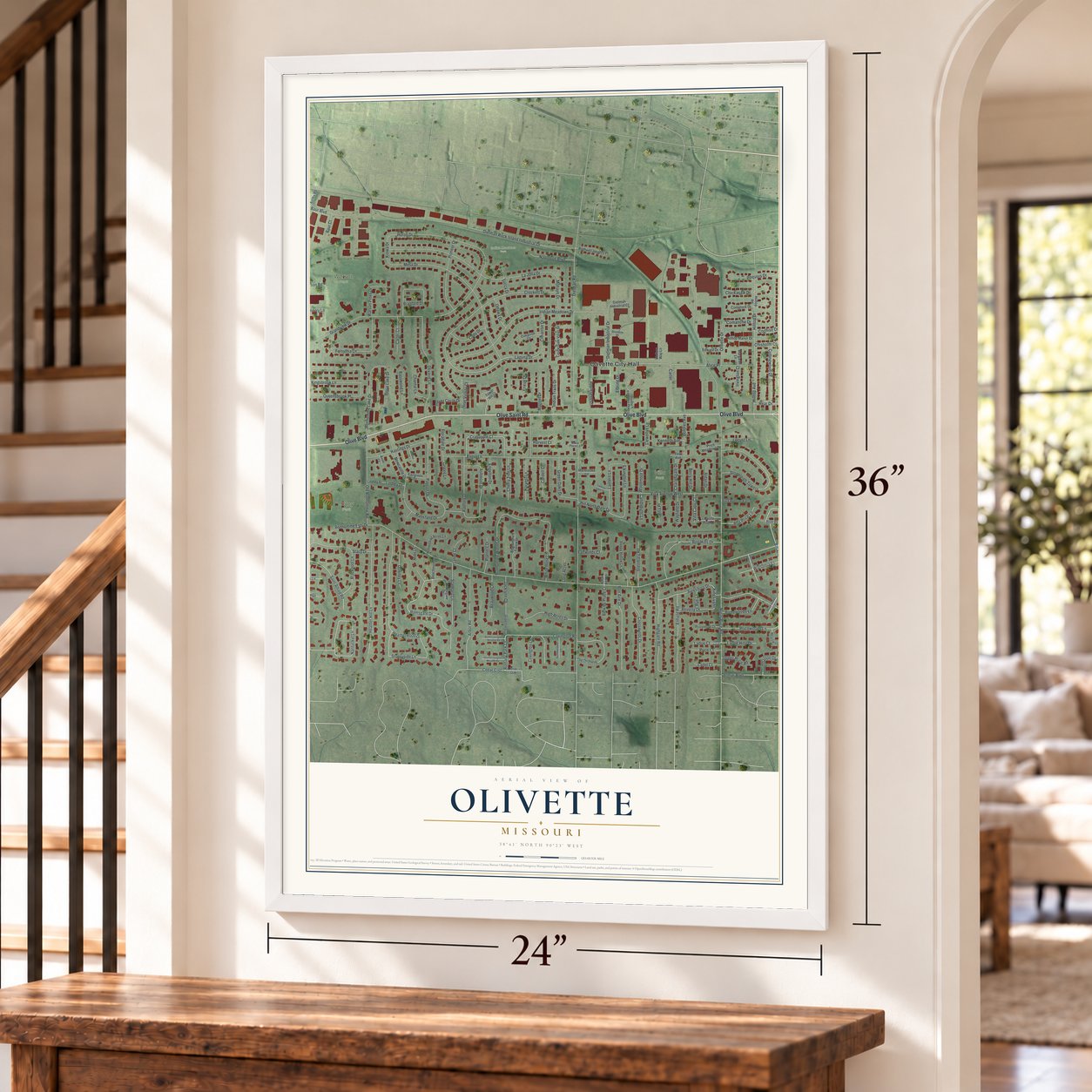
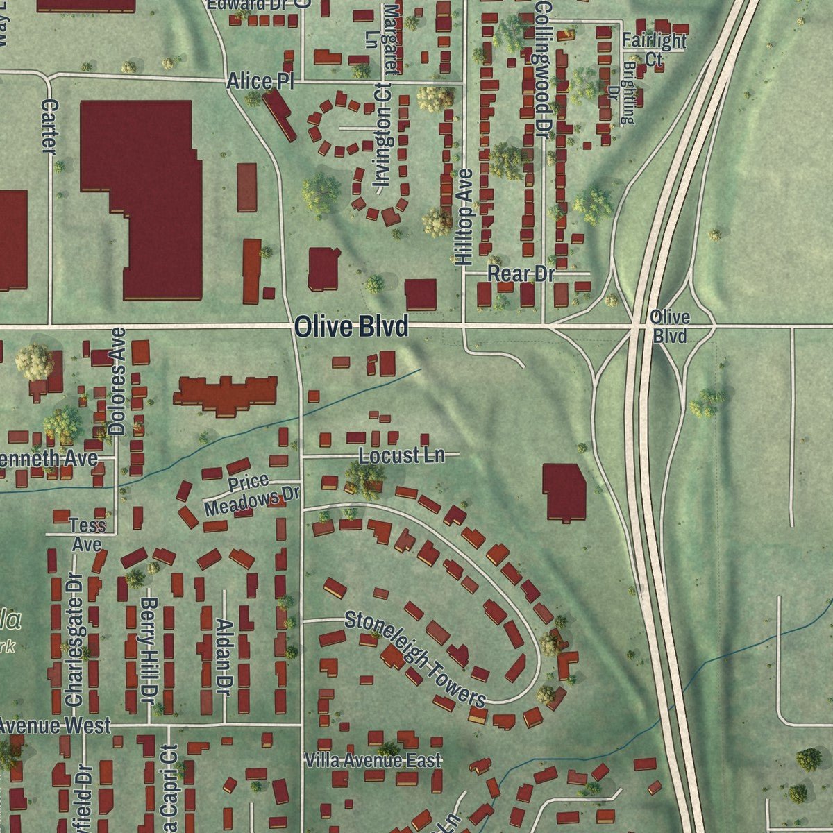
Explore Olivette, Missouri from a whole new perspective. Created using aerial imagery and detailed geographic data, this map captures Olivette building by building, with labeled streets, familiar landmarks, and shaded topographical relief that highlights the natural contours of the landscape.
Combining modern data with the timeless character of a vintage atlas, this map is just as interesting up close as it is beautiful on the wall. Whether you grew up in Olivette, spent memorable years there, or call it home today, this unique map is a great way to celebrate a place that means something to you. Zoom in on the preview to look for your street, and then order a print to put your memories on the wall.
Three ways to hang it
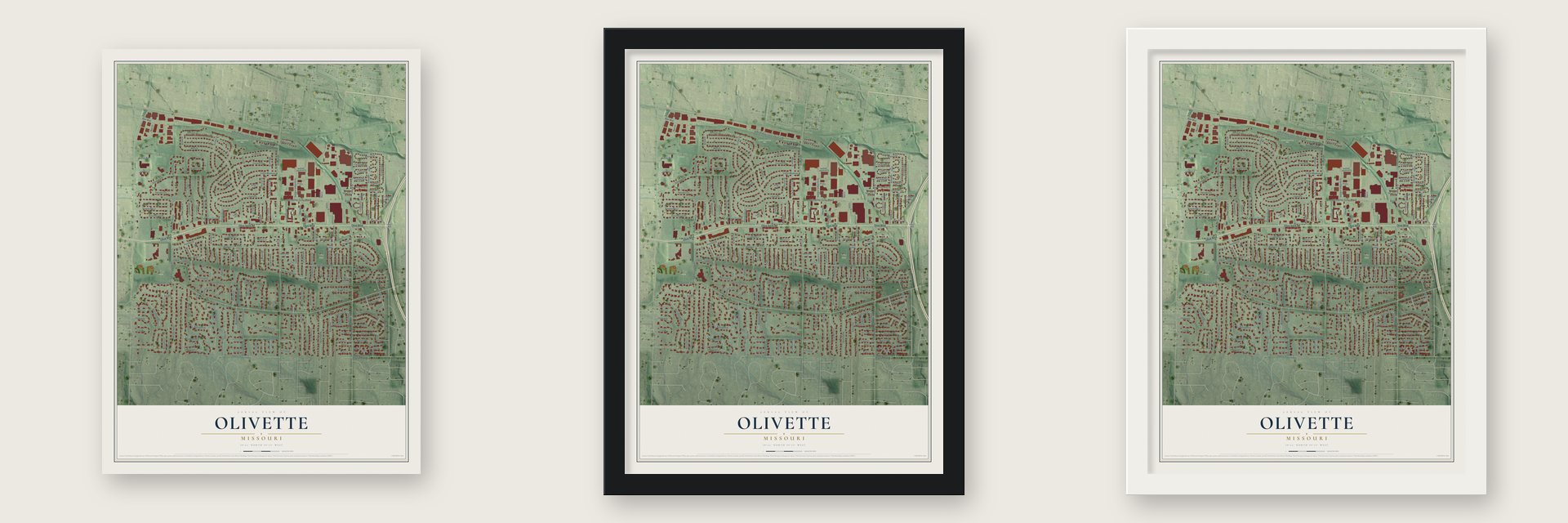
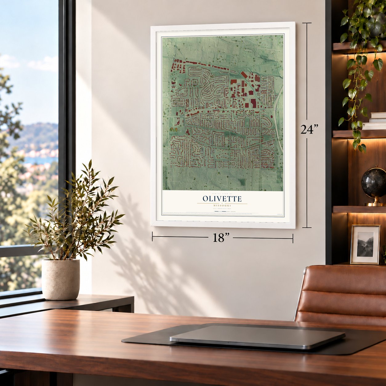
Unframed archival matte, a black wood frame or a white wood frame.
Up close
Geography Worth Displaying
This map was created using accurate cartographic data and authoritative geographic sources, including the U.S. Geological Survey and the Census Bureau. The map brings together terrain, waterways, roads, and building detail. The majority of the streets are labeled, houses are accurately depicted, and the topography is derived from government sources. Combining local data with carefully composed color and shading leads to this beautifully detailed Olivette artwork for your wall.
Rather than simply showing street outlines, we’ve included as many of the street names as we could reasonably fit on the map while keeping their names legible. Zoom in on the high resolution preview to see exactly what’s on the map. We truly set out to create a statement piece for anyone who loves Olivette. So whether it’s for you, or a gift for someone you love, we hope this map of Olivette brings back fond memories.
Read the story behind this map of Olivette, Missouri from 2026.
About Olivette, Missouri
Olivette is a St. Louis County suburb whose population was 8,504 in the 2020 census. Incorporated in 1930, the city brings together the histories of earlier communities, longstanding roads, neighborhood parks, and a railroad post office.
- Four Communities UnitedOlivette was incorporated in 1930 through the combination of Central, Tower Hill, Olive, and Stratmann.
- Early Brick SchoolhouseSt. Louis County's first brick schoolhouse was built during the 1850s at Price and Old Bonhomme roads.
- Reservoir Becomes ParkA water reservoir completed at Brock's Pond in 1926 became the center of Stacy Park, now Olivette's largest park.
- Railroad Post OfficeOlivette's post office operated from 1910 to 1915 along the Chicago, Rock Island and Pacific Railroad in Central Township.
- Municipal Public SafetyOlivette maintains its own municipal police and fire departments, an uncommon arrangement among St. Louis County communities.
Find your street
Names on the Olivette map
Every name below is printed on this map. Look for your street, your school, the park where you played, or the pond down the road.
Places and landmarks5
- Olivette City Hall
- Indian Meadows Park
- Stacy Park
- Warson Park
- Villa Park
Streets and roads190
- Olive Saint Road
- Olive Boulevard
- Ramsgate Drive
- Crabapple Court
- Laguna Drive
- Romany Park Lane
- Kings Lynn
- Dielman Industrial Drive
- Elkington Lane
- Old Bonhomme Road
- Dielman Road
- North Price Road
- Grandview Drive
- Indian Meadows Drive
- Stoneyside Lane
- La Jolla Drive
- Mesa Drive
- Pricewoods Lane
- Queensbrook Place
- Crockett Drive
- Nantucket Lane
- Engel Lane
- Hilltop Avenue
- Hilltop Drive
- Heather Hill Lane
- Stoneleigh Towers
- Bon Hills Drive
- Bonhomme Woods Drive
- Dielman Rock Island Industrial Drive
- Highgate Road
Show all 190 streets
- Mansfield Drive
- Huron Drive
- Olivaire Lane
- Arbor Road
- Villa Avenue West
- Forsythia Lane
- Baur Boulevard
- Stacy Drive
- Harvest Lane
- Collingwood Drive
- Friese Drive
- Bon Aire Drive
- Branford Drive
- Olive Lake Drive
- Payson Drive
- Crosswinds Drive
- Saint Alfred Road
- Enfield Road
- Bonhomme Lake Drive
- Pioneer Drive
- Covington Road
- Ashmont Drive
- Delmar Boulevard
- Appleseed Lane
- Hastings Drive
- Stannard Lane
- Kingsbrook Lane
- Llewellyn Lane
- Newcastle Drive
- White Rose Lane
- Lantern Lane
- Indian Circle Drive
- Bon Price Terrace
- Green Oaks Drive
- Aylesbury Drive
- Radford Drive
- High Acres Drive
- Basswood Lane
- Bin Price Terrace
- Hill North Dale Drive
- Downey Lane
- Covington Lane
- Arrowhead Drive
- Elbring Drive
- Blackpool Lane
- Carter
- Indian Trails Drive
- Alice Place
- Glenmary Road
- Warson Pines Drive
- Birnawoods Lane
- Iroquois Drive
- Napoleon Boulevard
- Beauwood Court
- Cherry Tree Lane
- Olivette Drive
- Watsonia Court
- Cimarron Drive
- Cody Drive
- Dolores Avenue
- Bon Price Lane
- Lindley Drive
- Jacklynn Court
- Olive Village Court
- Magnet Drive
- Fairwinds Court
- Cedar Crst
- Mohave Drive
- Chantal Lane
- Cordell Court
- Carter Court
- Planters Drive
- Bonhomme Ests Drive
- Beverly Drive
- Ladue Hills Drive
- Charlesgate Drive
- Greenery Lane
- Ottawa Drive
- Engelton Drive
- Locust Lane
- Berkley Place Court
- Dumbarton Drive
- Heatherwood Drive
- Comanche Drive
- Floradale Drive
- Price Court
- Villa Capri Court
- Villa Place
- Ladue Court
- Wayfield Drive
- Chickasaw Drive
- Upper Price Road
- Lynne Court
- Kiowa Drive
- Candlelight Lane
- Woodmoor Drive
- Kenneth Avenue
- Harvest Court
- Berry Hill Drive
- Ladel Court
- Aldan Drive
- Baur Court
- Yucca Drive
- Rear Drive
- Cherri Lane
- Chisholm Court
- Cochise Drive
- Gralee Lane
- Long Acres
- Kentom Drive
- Irvington Court
- Lisa Drive
- Rye Lane
- Warson Road
- Tower Hill Court
- Greenfield Drive
- Briar Oak
- The Orchards
- Castle Gate Villas Drive
- Sleepy Hollow Lane
- Bonhomme Forest Drive
- Lindley Street
- Ashby Road
- Rothwell Heights Place
- Fairlight Court
- Homestead Acres Lane
- Ridgegate Drive
- Villa Avenue East
- Hilltop Manor Drive
- Dielman Industrial Court
- Heartwoods Court
- Pricemont Drive
- Castle Ragh Court
- Fairgreen Drive
- Comstock Drive
- Beachmont Drive
- Cimarron Court
- Price Meadows Drive
- Edward Drive
- Hilltop Road
- Walters Way Lane
- Marbrooke Lane
- Margaret Lane
- Miles Lane
- Tess Avenue
- Char Bea Lane
- Avon Court
- Olivette Executive Parkway
- Ziercher Street
- Summerdale Lane
- Pricewoods Court
- Shortline Drive
- Brightling Drive
- Stacy Place Lane
- Bayhill Lane
- Ladue Hills Est
- South Covington Meadow Road
- North Covington Meadow Road
- Braxton Court
- Lantern Lane Court
Names are listed as they appear on the printed map. Zoom into the product photos to find them.
The art of mapping a place
How This Map Was Made
Real places. Remarkable detail. Discover the layers that turn geographic data into a map of home.

The view from above
Aerial imagery reveals the character of the land: woodland, open fields, and the patterns of a place.

The shape of the land
Elevation data brings hills, valleys, and subtle changes in the landscape into view.

The details of home
Roads, waterways, and building footprints come together to make the map feel unmistakably local.

Geography becomes art
Considered color, shading, and typography bring the layers together in a map made for your wall.


Process illustrated with Mendon, Massachusetts. Aerial imagery: USDA NAIP. Terrain: USGS 3D Elevation Program. Map details and finished artwork: KNOWOL.
The Details
About This Print
Choose an archival matte print, or a black or white Ayous wood frame. The archival matte print is unframed.
Select your size and finish above to see the matching product image and price.
Materials & Craftsmanship
A contemporary map with the character of a classic atlas, printed on archival matte paper. Optional frames are made from Ayous wood.
Your printed map does not include the watermark shown in the full-map preview.
Shipping & Delivery
Free shipping within the United States. Every print is made to order in the USA.
Buying a gift? Add a note in your cart and we'll include it. We never put prices in the package.
Prints ship within 2 to 3 business days. Allow 7 to 10 days total from ordering for delivery. Timing may vary during holidays or periods of high order volume.
Read our shipping policy.
Returns and damaged prints
Each print is made to order. Change-of-mind refunds are not available after production.
If your print arrives damaged, misprinted or incorrect, contact support@knowol.com within 30 days of receiving it. Include your order number, photos and a description of the issue.
Read our full refund and replacement policy. For questions about your order, email support@knowol.com.
Find your town
Looking for another city?
Find a map of home in our Missouri collection, or any town in the country.
Nearby
Maps of towns near Olivette
Know someone from one of these towns? Their map makes a great gift.
 Overland
, Missouri
From $39.99See the map
 Vinita Park
, Missouri
From $39.99See the map
 Ladue
Ladue, Missouri
From $39.99See the map
More maps nearby: Sycamore Hills, University City, Charlack, Hanley Hills and Breckenridge Hills.