
Search for another town




Free U.S. delivery 7 to 10 days after you order
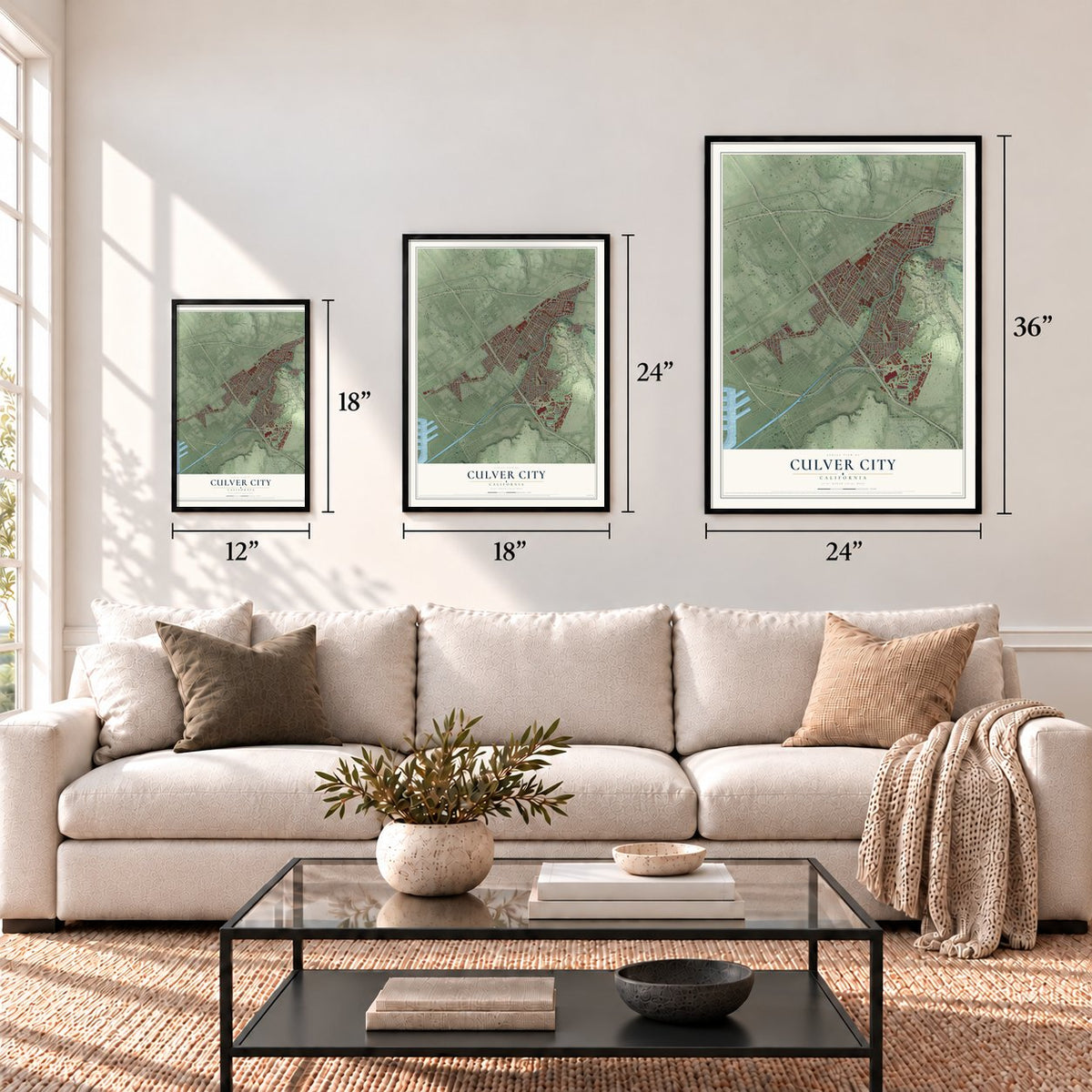
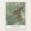
Culver City, California Map Art
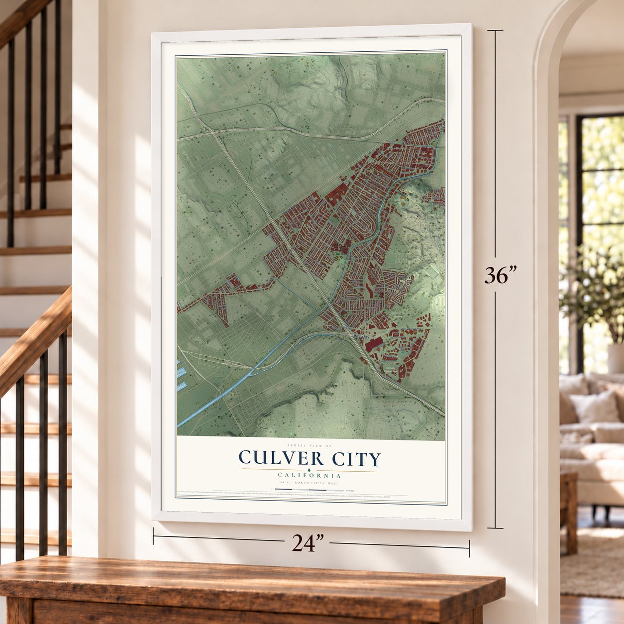
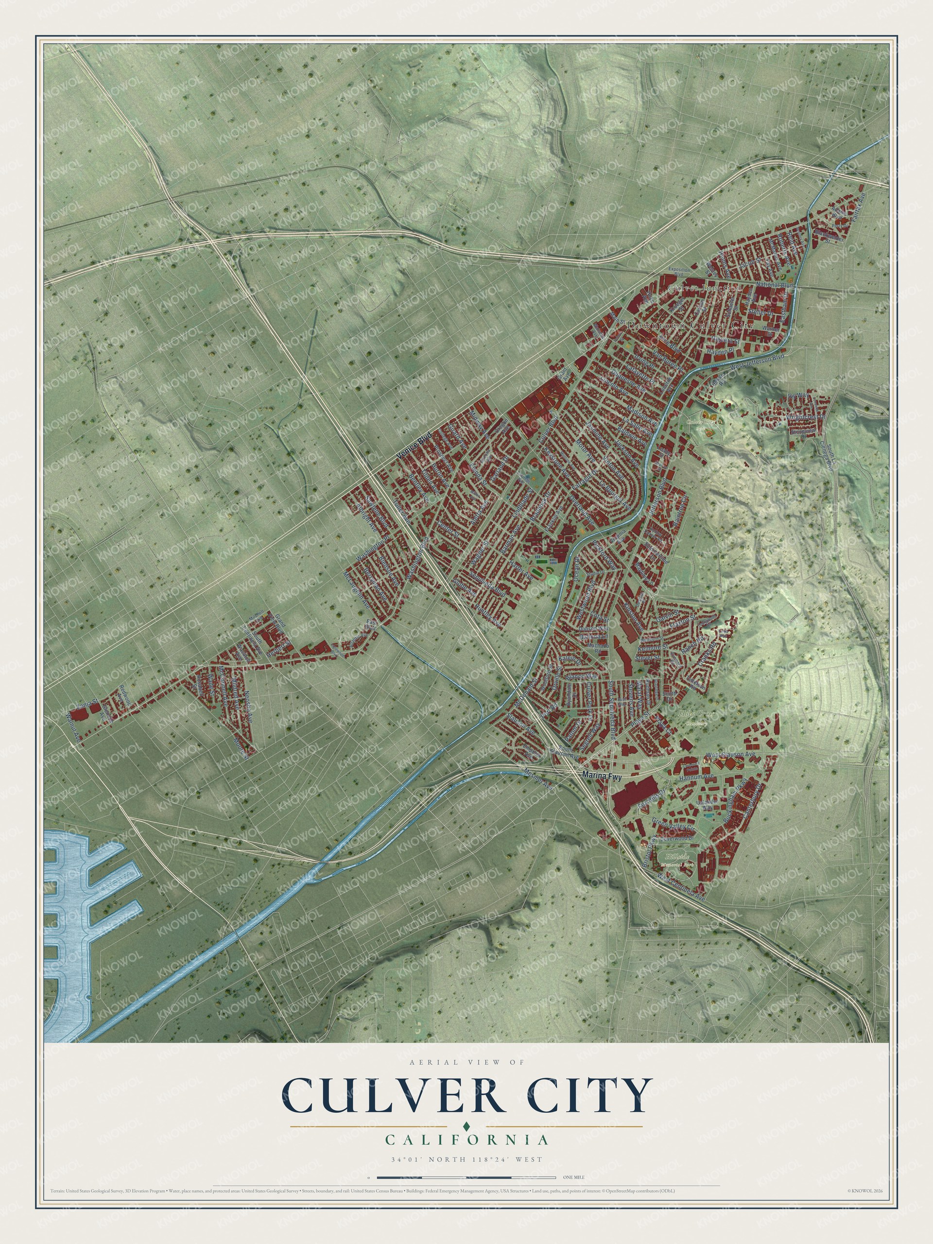
A new map of Culver City, California, made in 2026 and printed to order on thick archival matte paper.
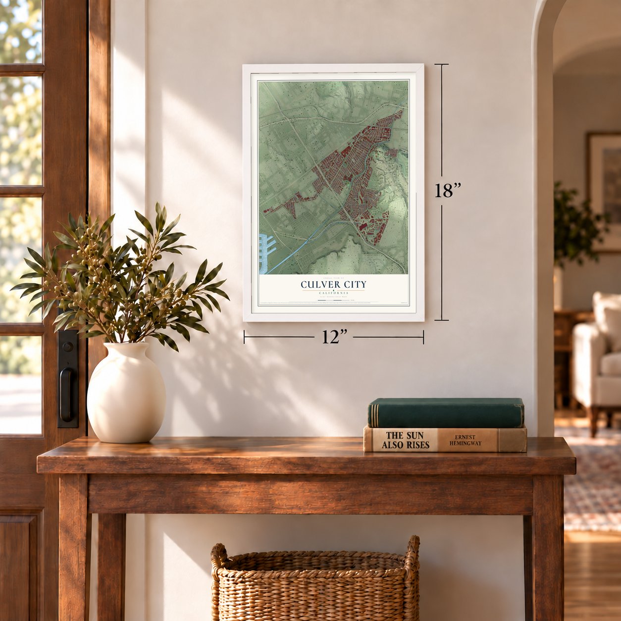
12" x 18" Archival Matte Print
A Map of Home. A Work of Art.
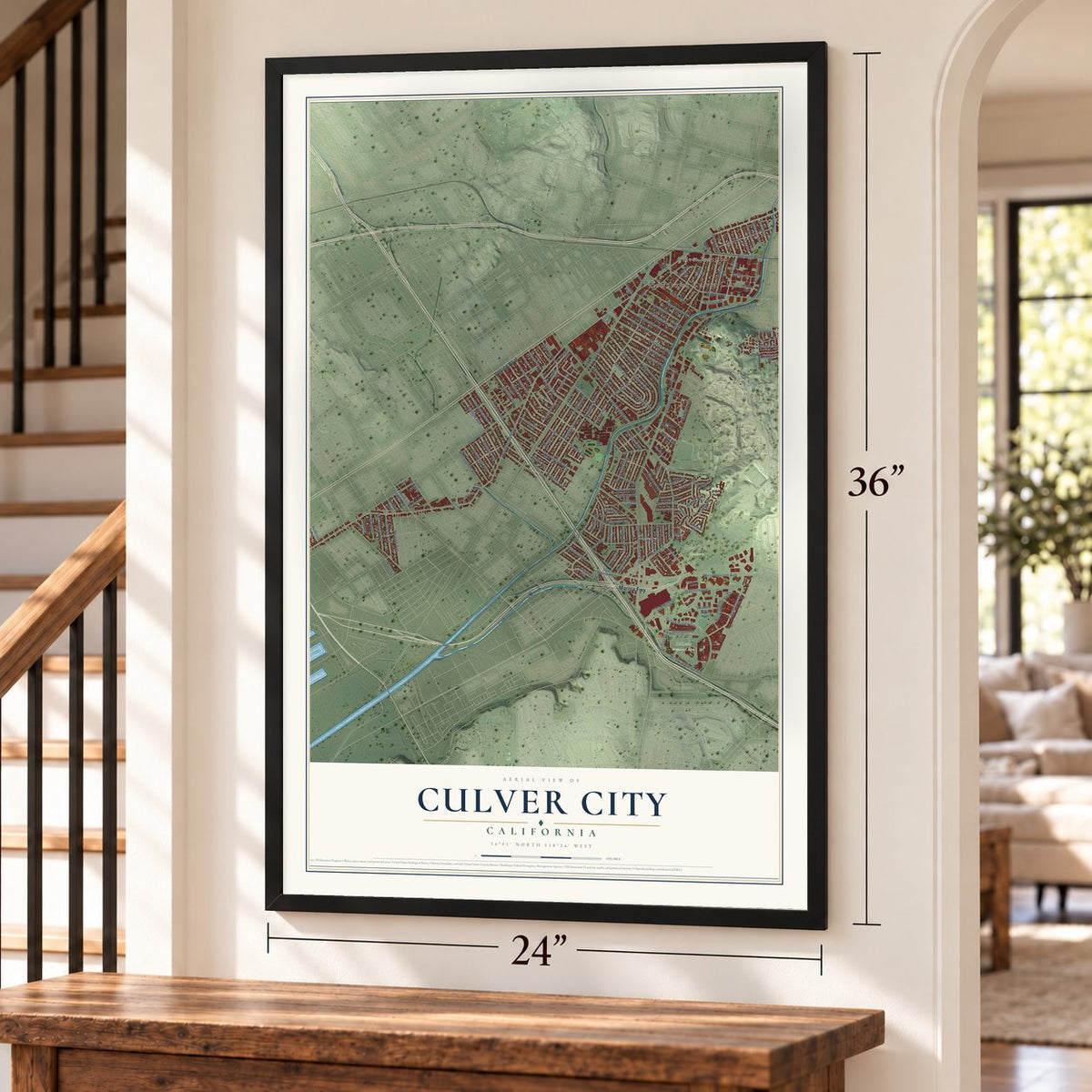
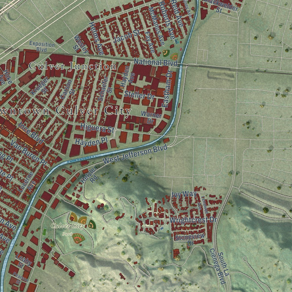
Explore Culver City, California from a whole new perspective. Created using aerial imagery and detailed geographic data, this map captures Culver City building by building, with labeled streets, familiar landmarks, and shaded topographical relief that highlights the natural contours of the landscape.
Combining modern data with the timeless character of a vintage atlas, this map is just as interesting up close as it is beautiful on the wall. Whether you grew up in Culver City, spent memorable years there, or call it home today, this unique map is a great way to celebrate a place that means something to you. Zoom in on the preview to look for your street, and then order a print to put your memories on the wall.
Three ways to hang it
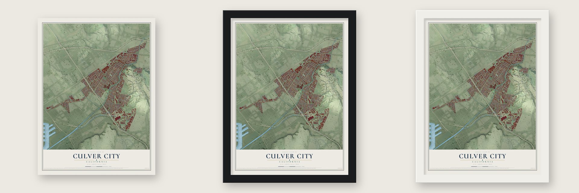
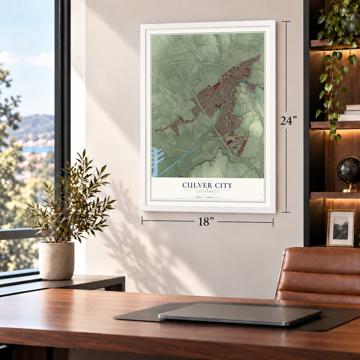
Unframed archival matte, a black wood frame or a white wood frame.
Up close
Geography Worth Displaying
This map was created using accurate cartographic data and authoritative geographic sources, including the U.S. Geological Survey and the Census Bureau. The map brings together terrain, waterways, roads, and building detail. The majority of the streets are labeled, houses are accurately depicted, and the topography is derived from government sources. Combining local data with carefully composed color and shading leads to this beautifully detailed Culver City artwork for your wall.
Rather than simply showing street outlines, we’ve included as many of the street names as we could reasonably fit on the map while keeping their names legible. Zoom in on the high resolution preview to see exactly what’s on the map. We truly set out to create a statement piece for anyone who loves Culver City. So whether it’s for you, or a gift for someone you love, we hope this map of Culver City brings back fond memories.
Read the story behind this map of Culver City, California from 2026.
About Culver City, California
Culver City is a city of 40,779 people in Los Angeles County, almost entirely surrounded by the city of Los Angeles. Tongva-Gabrieliño people lived here for centuries, and the town later grew on parts of Rancho La Ballona, along with Rancho Rincon de los Bueyes. Harry Culver made his first try at founding a town here in 1913, and on September 20, 1917, it was incorporated and named for him.
Thomas Ince built the town's first film studio in 1918 for the Triangle Motion Picture Company, and the silent comedy producer Hal Roach opened his own lot in 1919. Metro Goldwyn Mayer took over Ince's Triangle complex in 1924 and stayed until 1986. In the early 1990s Columbia Pictures and TriStar Pictures moved onto the old MGM lot, which soon took the name Sony Pictures Studios.
“All roads lead to Culver City”
- The Spruce Goose plantIn July 1941 Hughes Aircraft started work at a new plant in town, and there it built the H-4 Hercules, the giant transport nicknamed the "Spruce Goose." During World War II the company turned out more ammunition belts than any other American maker. It also built 5,576 wings for Vultee BT-13 trainers, plus 6,370 of their rear fuselage sections. Its headquarters stayed in Culver City until 1986.
- The Culver Hotel, 1924The architects Curlett and Beelman designed the Culver Hotel, a six-story brick building with a flatiron shape that went up in 1924, the same year MGM arrived in town. It joined the National Register in 1997.
- A city bus line since 1928Culver CityBus started running on March 4, 1928, which makes it the second oldest city-run bus line in the state. No public bus system in Los Angeles County has kept running longer.
- Camp Latham, 1861During the Civil War the U.S. Army kept a post called Camp Latham on the south bank of Ballona Creek from 1861 to 1862. The creek is still the city's main natural feature, crossing most of Culver City on its way southwest to Santa Monica Bay at Marina del Rey.
Find your street
Names on the Culver City map
Every name below is printed on this map. Look for your street, your school, the park where you played, or the pond down the road.
Places and landmarks5
- Downtown Culver City
- Culver City Park
- Hillside Memorial Park
- Holy Cross Cemetery
- Culver Junction
Streets and roads170
- Marina Fwy
- Venice Boulevard
- Washington Boulevard
- Sepulveda Boulevard
- Jefferson Boulevard
- South Sepulveda Boulevard
- West Jefferson Boulevard
- Wrightcrest Drive
- National Boulevard
- Playa Street
- Raintree Circle
- Mesmer Avenue
- Culver Boulevard
- Overland Avenue
- Braddock Drive
- Sawtelle Boulevard
- Duquesne Avenue
- Washington Place
- Hannum Avenue
- Farragut Drive
- West Slauson Avenue
- Jasmine Avenue
- Higuera Street
- Green Valley Circle
- Slauson Avenue
- Lindblade Street
- Barman Avenue
- Buckingham Parkway
- Berryman Avenue
- Huron Avenue
Show all 170 streets
- West Centinela Avenue
- Bristol Parkway
- Tuller Avenue
- Madison Avenue
- Vinton Avenue
- Elenda Street
- Westwood Boulevard
- Globe Avenue
- Le Bourget Avenue
- Harter Avenue
- Keystone Avenue
- Moore Street
- Kinston Avenue
- Albright Avenue
- Wagner Street
- Motor Avenue
- Jackson Avenue
- Ocean Drive
- McConnell Avenue
- Pickford Way
- Tilden Avenue
- Canterbury Drive
- McDonald Street
- Helms Avenue
- La Salle Avenue
- Lincoln Avenue
- Herbert Street
- Jacob Street
- Neosho Avenue
- Port Road
- Flaxton Street
- Van Buren Place
- Huntley Avenue
- Ince Boulevard
- Segrell Way
- Midway Avenue
- Bledsoe Avenue
- Irving Place
- Lafayette Place
- Culver Park Drive
- McLaughlin Avenue
- Mildred Avenue
- Cranks Road
- Hayden Place
- Orville Street
- Zanja Street
- Eastham Drive
- Baldwin Avenue
- Bentley Avenue
- Ranch Road
- Fairfax Avenue
- Kelmore Street
- Patom Drive
- Fox Hills Drive
- Galvin Street
- Aletta Avenue
- Cota Street
- Garland Drive
- Wade Street
- Stevens Avenue
- Center Street
- Blanco Way
- Girard Avenue
- Roberts Avenue
- Malat Way
- Reid Avenue
- Steller Drive
- Walnut Avenue
- Ballona Lane
- Playa Court
- Kalein Drive
- Stever Street
- Ivy Way
- South Centinela Avenue
- Rosabell Street
- South La Cienega Boulevard
- South Slauson Avenue
- Franklin Avenue
- Wesley Street
- Lucerne Avenue
- Summertime Lane
- Virginia Avenue
- Hetzler Road
- Carson Street
- Grand View Boulevard
- Uplander Way
- Oregon Avenue
- Schaefer Street
- Emporia Avenue
- Fay Avenue
- Hayden Avenue
- Tellefson Road
- Doverwood Drive
- Prospect Avenue
- Krueger Street
- McManus Avenue
- Stoneview Drive
- Woolford Street
- Dobson Way
- Blackwelder Street
- Warner Drive
- Maytime Lane
- Redwood Avenue
- Rudman Drive
- Glencoe Avenue
- South Drive
- Ryandale Drive
- Machado Road
- Adams Boulevard
- Wasatch Avenue
- Grant Avenue
- Leahy Street
- Main Street
- Hoke Avenue
- East Boulevard
- Coombs Avenue
- Whitburn Street
- Studio Drive
- Atlantic Avenue
- Arizona Avenue
- Mitchell Avenue
- College Avenue
- Hollow Corner Road
- Exposition Boulevard
- Eveward Road
- Deshire Place
- Perry Drive
- Watseka Avenue
- Mentone Avenue
- Lenawee Avenue
- Youngworth Road
- Bush Way
- Corporate Pointe
- Sentney Avenue
- Grayridge Drive
- Inglewood Boulevard
- Milton Avenue
- Pearson Street
- School Street
- Linda Way
Names are listed as they appear on the printed map. Zoom into the product photos to find them.
The art of mapping a place
How This Map Was Made
Real places. Remarkable detail. Discover the layers that turn geographic data into a map of home.

The view from above
Aerial imagery reveals the character of the land: woodland, open fields, and the patterns of a place.

The shape of the land
Elevation data brings hills, valleys, and subtle changes in the landscape into view.

The details of home
Roads, waterways, and building footprints come together to make the map feel unmistakably local.

Geography becomes art
Considered color, shading, and typography bring the layers together in a map made for your wall.


Process illustrated with Mendon, Massachusetts. Aerial imagery: USDA NAIP. Terrain: USGS 3D Elevation Program. Map details and finished artwork: KNOWOL.
The Details
About This Print
Choose an archival matte print, or a black or white Ayous wood frame. The archival matte print is unframed.
Select your size and finish above to see the matching product image and price.
Materials & Craftsmanship
A contemporary map with the character of a classic atlas, printed on archival matte paper. Optional frames are made from Ayous wood.
Your printed map does not include the watermark shown in the full-map preview.
Shipping & Delivery
Free shipping within the United States. Every print is made to order in the USA.
Buying a gift? Add a note in your cart and we'll include it. We never put prices in the package.
Prints ship within 2 to 3 business days. Allow 7 to 10 days total from ordering for delivery. Timing may vary during holidays or periods of high order volume.
Read our shipping policy.
Returns and damaged prints
Each print is made to order. Change-of-mind refunds are not available after production.
If your print arrives damaged, misprinted or incorrect, contact support@knowol.com within 30 days of receiving it. Include your order number, photos and a description of the issue.
Read our full refund and replacement policy. For questions about your order, email support@knowol.com.
Find your town
Looking for another city?
Find a map of home in our California collection, or any town in the country.
Nearby
Maps of towns near Culver City
Know someone from one of these towns? Their map makes a great gift.
 Los Angeles
, California
From $39.99See the map
 Palms
Palms, California
From $39.99See the map
 Ladera Heights
, California
From $39.99See the map
More maps nearby: Mar Vista, West Adams, View Park-Windsor Hills, Marina del Rey and Venice.