
Search for another town




Free U.S. delivery 7 to 10 days after you order
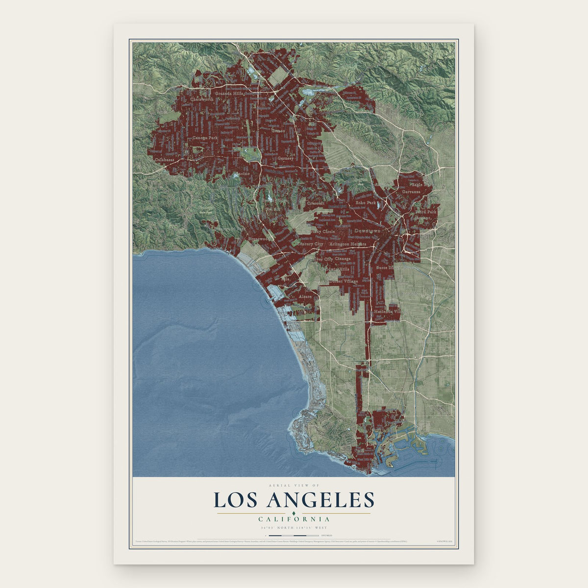
Los Angeles, California Map Art
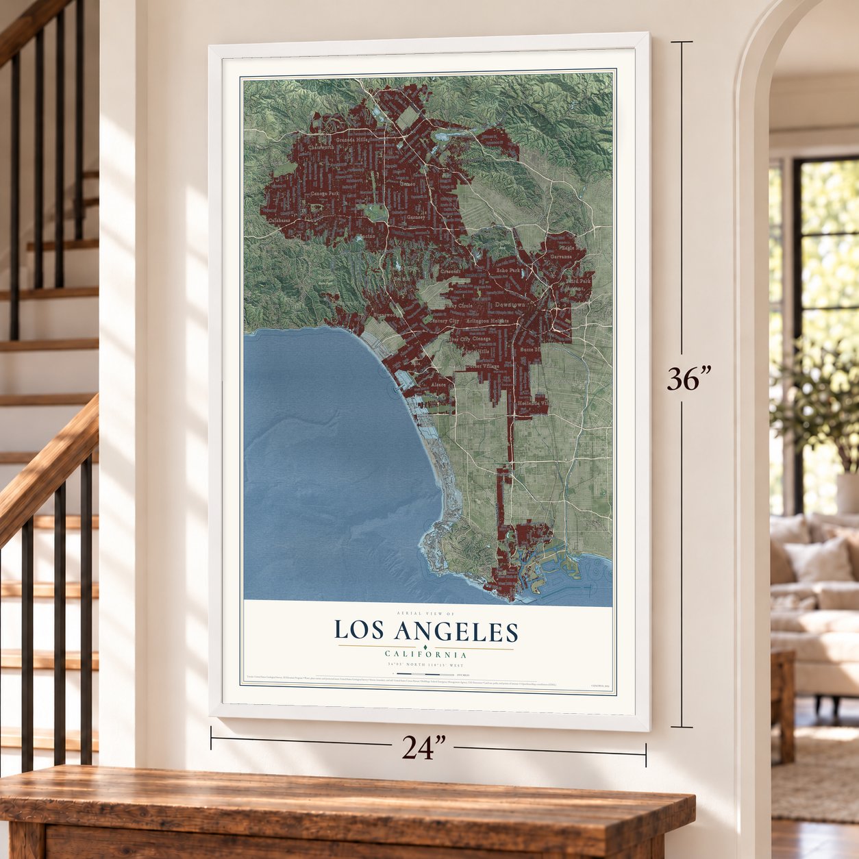
A new map of Los Angeles, California, made in 2026 and printed to order on thick archival matte paper.
12" x 18" Archival Matte Print
A Map of Home. A Work of Art.
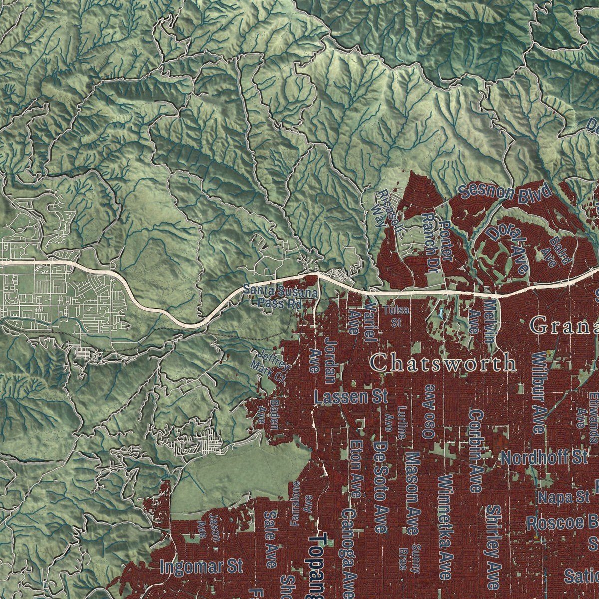
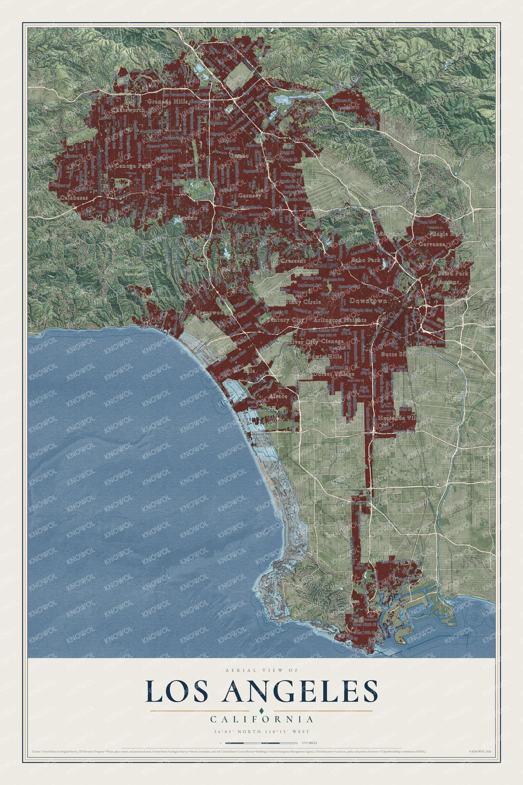
Explore Los Angeles, California from a whole new perspective. Created using aerial imagery and detailed geographic data, this map captures Los Angeles building by building, with labeled streets, familiar landmarks, and shaded topographical relief that highlights the natural contours of the landscape.
Combining modern data with the timeless character of a vintage atlas, this map is just as interesting up close as it is beautiful on the wall. Whether you grew up in Los Angeles, spent memorable years there, or call it home today, this unique map is a great way to celebrate a place that means something to you. Zoom in on the preview to look for your street, and then order a print to put your memories on the wall.
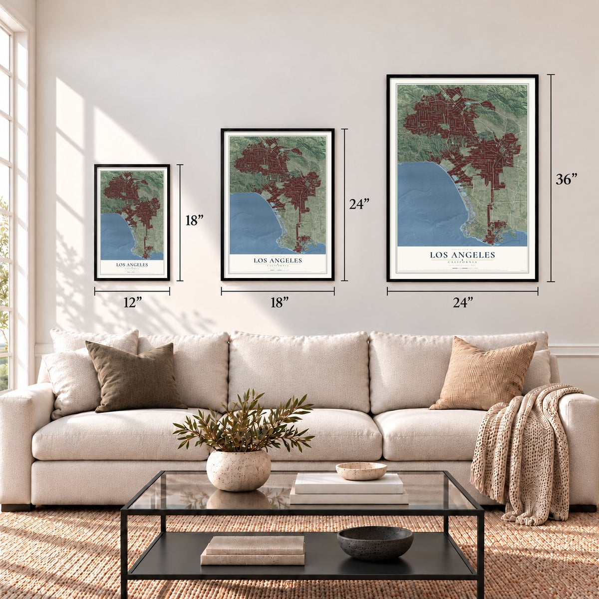
Three ways to hang it
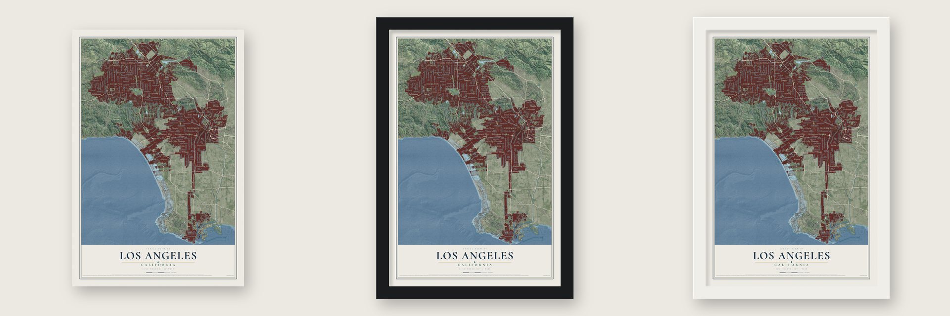
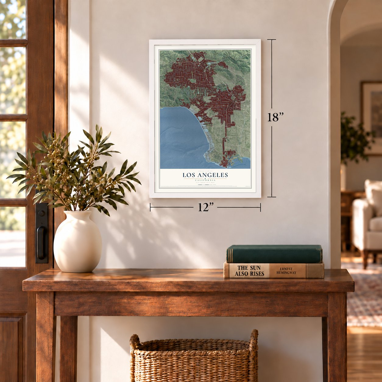
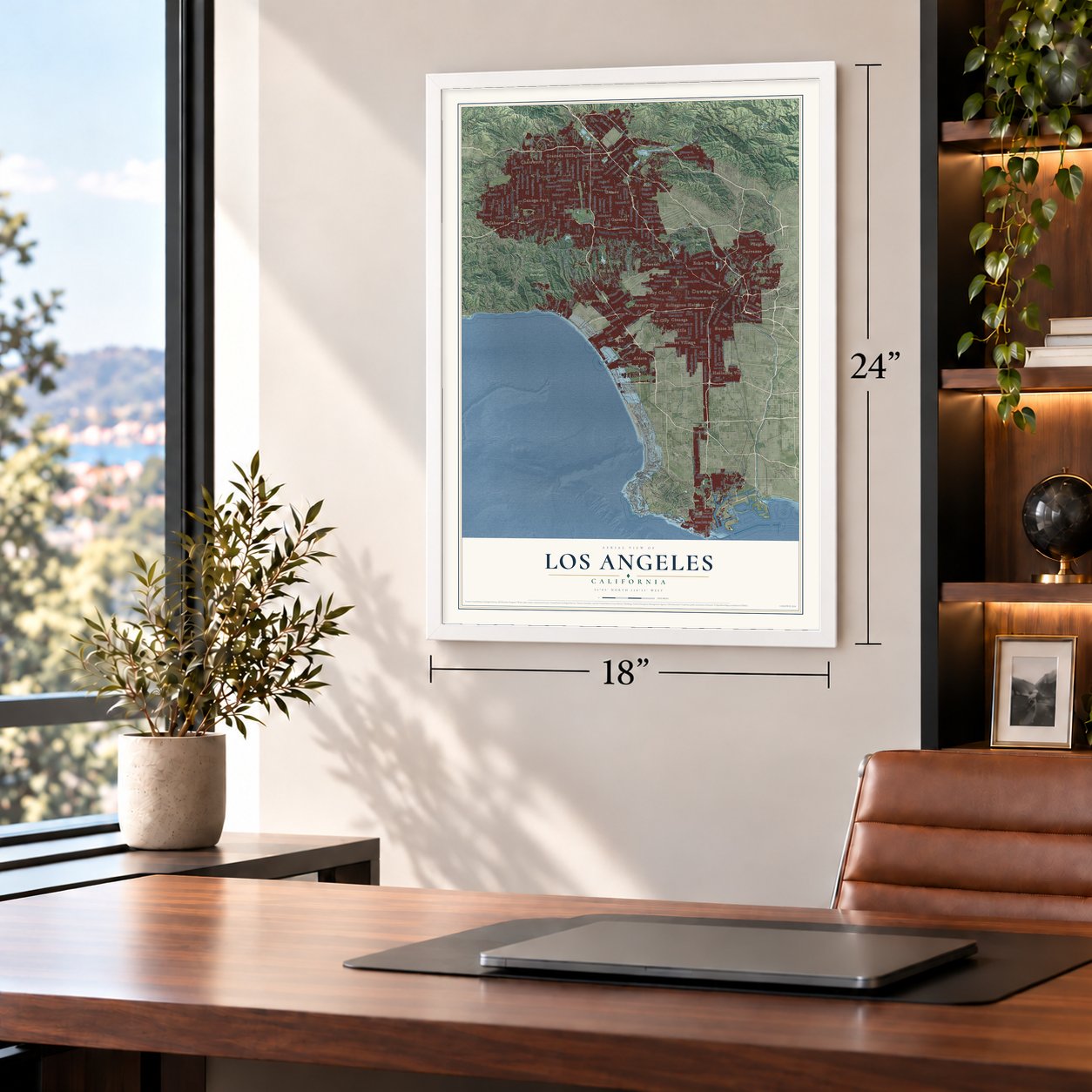
Unframed archival matte, a black wood frame or a white wood frame.
Up close
Geography Worth Displaying
This map was created using accurate cartographic data and authoritative geographic sources, including the U.S. Geological Survey and the Census Bureau. The map brings together terrain, waterways, roads, and building detail. The majority of the streets are labeled, houses are accurately depicted, and the topography is derived from government sources. Combining local data with carefully composed color and shading leads to this beautifully detailed Los Angeles artwork for your wall.
Rather than simply showing street outlines, we’ve included as many of the street names as we could reasonably fit on the map while keeping their names legible. Zoom in on the high resolution preview to see exactly what’s on the map. We truly set out to create a statement piece for anyone who loves Los Angeles. So whether it’s for you, or a gift for someone you love, we hope this map of Los Angeles brings back fond memories.
Read the story behind this map of Los Angeles, California from 2026.

About Los Angeles, California
Los Angeles is a city of 3,898,747 people and the county seat of Los Angeles County. It grew on the site of Yaanga, the chief Tongva village of the region. The name means "place of the poison oak." Gaspar de Portolà and the friar Juan Crespí reached the spot on August 2, 1769. In 1771 Junípero Serra had Mission San Gabriel Arcángel built nearby. On September 4, 1781, 44 settlers called Los Pobladores founded a pueblo here under Governor Felipe de Neve. They named it for Our Lady the Queen of the Angels.
The town stayed small for decades, with about 650 people by 1820. Mexico won its independence in 1821, and Governor Pío Pico later made Los Angeles the capital of Alta California. American marines took the pueblo in 1846. Then 150 Mexican militiamen laid siege to them, and the Americans gave up. More battles followed, and this time the Americans won. Both sides signed the Treaty of Cahuenga on January 13, 1847, and the fighting ended. A second treaty, Guadalupe Hidalgo, made the town part of the United States in 1848. Los Angeles became a city on April 4, 1850, five months before California became a state.
- Aqueduct water in 1913By 1900 more than 102,000 people lived in Los Angeles, and the city was running short of water. William Mulholland led the work on the Los Angeles Aqueduct, which was finished in 1913. It carries water from Eastern California. The city charter would not let the city sell that water outside its limits, so many nearby towns joined Los Angeles to get it.
- Hollywood joins in 1910Hollywood merged into Los Angeles in 1910. By then 10 movie companies were already at work in the city. By 1921 Los Angeles held over 80 percent of all film work on earth. That money kept the city safe from much of the harm of the Great Depression.
- The first zoning law, 1908On September 14, 1908, the City Council set up three zones for homes and seven for industry. It was the first zoning law in any American city. Barns, lumber yards and shops that ran powered machines could not go in the home zones. Still, exemptions given through 1915 let some industry move in.
- Oil strikes from 1892Oil was found in and around the city in 1892. By 1923 those finds had helped make California the nation's top oil producer. The state was pumping about one-quarter of the world's oil.
- Olympic host in 1932 and 1984The city passed one million people by 1930. Two years later, in 1932, it hosted the Summer Olympics. The Games came back in 1984, and Los Angeles is set to host them a third time in 2028.
Find your street
Names on the Los Angeles map
Every name below is printed on this map. Look for your street, your school, the park where you played, or the pond down the road.
Places and landmarks34
- Downtown
- Griffith Park
- Topanga State Park
- Alla
- Alsace
- Arlington Heights
- Athens
- Atwater
- Aurant
- Avalon Gardens
- Baird Park
- Baldwin Hills
Show all 34 places
- Bel Air
- Beverly Glen
- Brentwood
- Brentwood Park
- Butte Street Junction
- Calabasas
- Canoga Park
- Carthay Circle
- Century City
- Chatsworth
- Cienega
- Crescent
- Culver City
- Dorset Village
- Eagle Rock
- Echo Park
- Encino
- Garnsey
- Garvanza
- Gemco
- Granada Hills
- Hacienda Village
Streets and roads371
- Ventura Boulevard
- Sunset Boulevard
- Foothill Boulevard
- Venice Boulevard
- Topanga Canyon Boulevard
- Lincoln Boulevard
- Western Avenue
- South Vermont Avenue
- Victory Boulevard
- Mulholland Drive
- Roscoe Boulevard
- San Fernando Road
- Vanowen Street
- Laurel Canyon Boulevard
- Sepulveda Boulevard
- Sherman Way
- Burbank Boulevard
- Saticoy Street
- Oxnard Street
- South Figueroa Street
- Balboa Boulevard
- Strathern Street
- South Hoover Street
- Valerio Street
- West Pico Boulevard
- Kittridge Street
- Reseda Boulevard
- West Olympic Boulevard
- Hatteras Street
- Louise Avenue
Show all 371 streets
- Hart Street
- Chase Street
- Van Nuys Boulevard
- South Broadway
- Woodley Avenue
- Corbin Avenue
- Parthenia Street
- Riverside Drive
- West Third Street
- Canoga Avenue
- Nordhoff Street
- Lassen Street
- Devonshire Street
- South Western Avenue
- Wilshire Boulevard
- Plummer Street
- Erwin Street
- Zelzah Avenue
- Vanalden Avenue
- Tampa Avenue
- South Normandie Avenue
- South Main Street
- Glenoaks Boulevard
- South San Pedro Street
- Stagg Street
- Wilbur Avenue
- Calvert Street
- South Central Avenue
- Chatsworth Street
- Rinaldi Street
- Winnetka Avenue
- Magnolia Boulevard
- Califa Street
- Hayvenhurst Avenue
- Lindley Avenue
- Mason Avenue
- Lanark Street
- De Soto Avenue
- Osborne Street
- North Vineland Avenue
- Haskell Avenue
- Kester Avenue
- Beverly Boulevard
- South Van Ness Avenue
- Rayen Street
- Wentworth Street
- Telfair Avenue
- San Fernando Mission Boulevard
- Ingomar Street
- West Adams Boulevard
- La Tuna Canyon Road
- Hazeltine Avenue
- Sullivan Fire Road
- West 25th Street
- Whitsett Avenue
- Sesnon Boulevard
- West Ninth Street
- Culver Boulevard
- Shirley Avenue
- Melrose Avenue
- West 18th Street
- Bradley Avenue
- Shoup Avenue
- Oakwood Avenue
- Normandie Avenue
- Palms Boulevard
- South Alameda Street
- Terra Bella Street
- Arleta Avenue
- Fallbrook Avenue
- East Olympic Boulevard
- Pierce Street
- Pacific Avenue
- West 39th Street
- Rose Avenue
- Borden Avenue
- National Boulevard
- East Fourth Street
- Bellagio Road
- Fountain Avenue
- West Mandeville Fire Road
- West 52nd Street
- Wells Drive
- Colorado Boulevard
- Zoo Drive
- Vis del Mar
- Polk Street
- Palisades Drive
- Vesper Avenue
- Los Feliz Boulevard
- West Temple Street
- Colfax Avenue
- Valley Boulevard
- Waring Avenue
- Navy Way
- South Halldale Avenue
- Sayre Street
- Hillrose Street
- Amalfi Drive
- Platt Avenue
- North Gaffey Street
- Paxton Street
- Clark Street
- Apperson Street
- Maple Avenue
- Imperial Highway
- East Anaheim Street
- Day Street
- Whittier Boulevard
- East Lomita Boulevard
- Forest Lawn Drive
- Canyon Drive
- Harding Street
- Isabel Street
- Aviation Boulevard
- Figueroa Street
- Miner Street
- Packard Street
- Mayerling Street
- Blake Avenue
- Cashio Street
- West 190th Street
- Art Street
- Fox Street
- Sichel Street
- Lake Drive
- Doral Avenue
- Earle Street
- Pacific Coast Highway
- Marina Fwy
- South Grand Avenue
- Encino Avenue
- Temescal Canyon Road
- Cantara Street
- West First Street
- Moorpark Street
- Haynes Street
- Coldwater Canyon Avenue
- North Figueroa Street
- Noble Avenue
- Crenshaw Boulevard
- West 83rd Street
- Avalon Boulevard
- Tujunga Avenue
- Orion Avenue
- Lull Street
- Stanford Avenue
- Franklin Avenue
- Huston Street
- Variel Avenue
- Oso Avenue
- Mandeville Canyon Road
- Gloria Avenue
- West Twelfth Street
- West 30th Street
- Fulton Avenue
- Glendale Boulevard
- Sunland Boulevard
- Petit Avenue
- West 74th Street
- Napa Street
- Herrick Avenue
- Woodlake Avenue
- Eton Avenue
- West 27th Street
- Melvin Avenue
- East Imperial Highway
- York Boulevard
- South Bundy Drive
- Longridge Avenue
- Sale Avenue
- North Kenter Avenue
- North San Fernando Road
- Gerald Avenue
- Tujunga Canyon Boulevard
- Amboy Avenue
- Santa Monica Boulevard
- Sarah Street
- North Broadway
- West 57th Street
- Manning Avenue
- Fair Avenue
- Elysian Park Drive
- Ben Avenue
- West Pso del Mar
- Fenton Avenue
- Mulholland Highway
- North Soto Street
- Oro Vista Avenue
- Jordan Avenue
- Lake Hollywood Drive
- Butler Avenue
- South Pacific Avenue
- De Campos Trail
- Franklin Canyon Drive
- Pershing Drive
- Alonzo Avenue
- Canyonback Road
- Rosita Street
- Linda Flora Drive
- Cass Avenue
- Broad Avenue
- East 55th Street
- North Bundy Drive
- East 16th Street
- Crescent Drive
- Vine Street
- Beloit Avenue
- East 92nd Street
- Colgate Avenue
- Coldwater Canyon Drive
- Porter Ranch Drive
- Burton Way
- Willow Glen Road
- Tower Grove Drive
- Olive View Drive
- West Burbank Boulevard
- North Hutton Drive
- East 27th Street
- Jolette Avenue
- Outpost Drive
- Linnet Street
- Don Pio Drive
- East 111th Place
- Waverly Drive
- El Medio Avenue
- Collis Avenue
- Fire Road
- Toyopa Drive
- West 253rd Street
- Bullock Street
- Morro Drive
- West East Street
- Middle Road
- Cody Road
- Zanja Street
- Weslin Avenue
- Loring Avenue
- Coy Drive
- Lamar Street
- Rajah Street
- Isis Avenue
- Yarnell Street
- Alta Street
- Farmer Fire Road
- Iliff Street
- Coil Avenue
- Big Tujunga Canyon Road
- West Eighth Street
- Valley Circle Boulevard
- Etiwanda Avenue
- West Second Street
- Friar Street
- Aldea Avenue
- Tiara Street
- Varna Avenue
- Griffith Park Drive
- Farmers Fire Road
- Raymer Street
- South Olive Street
- West 64th Street
- Hauser Boulevard
- East First Street
- Baird Avenue
- North Glenoaks Boulevard
- Santa Susana Pass Road
- Berry Drive
- West Bluff Creek Drive
- Yosemite Drive
- Bagley Avenue
- West San Fernando Road
- World Way
- North Virgil Avenue
- East 95th Street
- Alla Road
- Memorial Drive
- Cazador Street
- Ellenita Avenue
- Barham Boulevard
- Escalon Drive
- Gentili Ranch Road
- Ricasoli Way
- Ybarra Road
- Sapphire Drive
- Chapter Drive
- Rome Drive
- Avon Street
- New Dock Street
- East Boulevard
- 26th Street
- Jacon Way
- Druid Street
- Ilona Avenue
- Heath Avenue
- Roma Court
- Woodman Avenue
- South La Cienega Boulevard
- South Saint Andrews Place
- Gault Street
- Archwood Street
- Farralone Avenue
- Burnet Avenue
- Tulsa Street
- Sunburst Street
- Lurline Avenue
- South Wilton Place
- Tyrone Avenue
- Septo Street
- Valjean Avenue
- West 81st Street
- Sheldon Street
- Denny Avenue
- Forbes Avenue
- West 91st Street
- Crystal Springs Drive
- Blucher Avenue
- West Brand Boulevard
- North Angelo Drive
- Canyon Fire Road
- Garber Street
- Western Canyon Road
- Circle Drive
- Multiview Drive
- Mateo Street
- Lehigh Avenue
- Alhama Drive
- North Canoga Avenue
- East 88th Place
- Nugent Drive
- West 120th Street
- Getty Center Drive
- West Hill Drive
- Ensenada Drive
- Banyan Drive
- Jeffrey Mark Court
- Jason Avenue
- Sunny Brae
- Stone Street
- Baden Avenue
- Shore Road
- Center Drive
Names are listed as they appear on the printed map. Zoom into the product photos to find them.
The art of mapping a place
How This Map Was Made
Real places. Remarkable detail. Discover the layers that turn geographic data into a map of home.

The view from above
Aerial imagery reveals the character of the land: woodland, open fields, and the patterns of a place.

The shape of the land
Elevation data brings hills, valleys, and subtle changes in the landscape into view.

The details of home
Roads, waterways, and building footprints come together to make the map feel unmistakably local.

Geography becomes art
Considered color, shading, and typography bring the layers together in a map made for your wall.


Process illustrated with Mendon, Massachusetts. Aerial imagery: USDA NAIP. Terrain: USGS 3D Elevation Program. Map details and finished artwork: KNOWOL.
The Details
About This Print
Choose an archival matte print, or a black or white Ayous wood frame. The archival matte print is unframed.
Select your size and finish above to see the matching product image and price.
Materials & Craftsmanship
A contemporary map with the character of a classic atlas, printed on archival matte paper. Optional frames are made from Ayous wood.
Your printed map does not include the watermark shown in the full-map preview.
Shipping & Delivery
Free shipping within the United States. Every print is made to order in the USA.
Buying a gift? Add a note in your cart and we'll include it. We never put prices in the package.
Prints ship within 2 to 3 business days. Allow 7 to 10 days total from ordering for delivery. Timing may vary during holidays or periods of high order volume.
Read our shipping policy.
Returns and damaged prints
Each print is made to order. Change-of-mind refunds are not available after production.
If your print arrives damaged, misprinted or incorrect, contact support@knowol.com within 30 days of receiving it. Include your order number, photos and a description of the issue.
Read our full refund and replacement policy. For questions about your order, email support@knowol.com.
Find your town
Looking for another city?
Find a map of home in our California collection, or any town in the country.
Nearby
Maps of towns near Los Angeles
Know someone from one of these towns? Their map makes a great gift.
 Palms
Palms, California
From $39.99See the map
 Culver City
, California
From $39.99See the map
 Mar Vista
, California
From $39.99See the map
More maps nearby: Ladera Heights, West Adams, Westwood, Venice and Marina del Rey.