
Search for another town





Free U.S. delivery 7 to 10 days after you order
Dayton, Nevada Map Art
Building by building, with labeled streets and shaded relief.
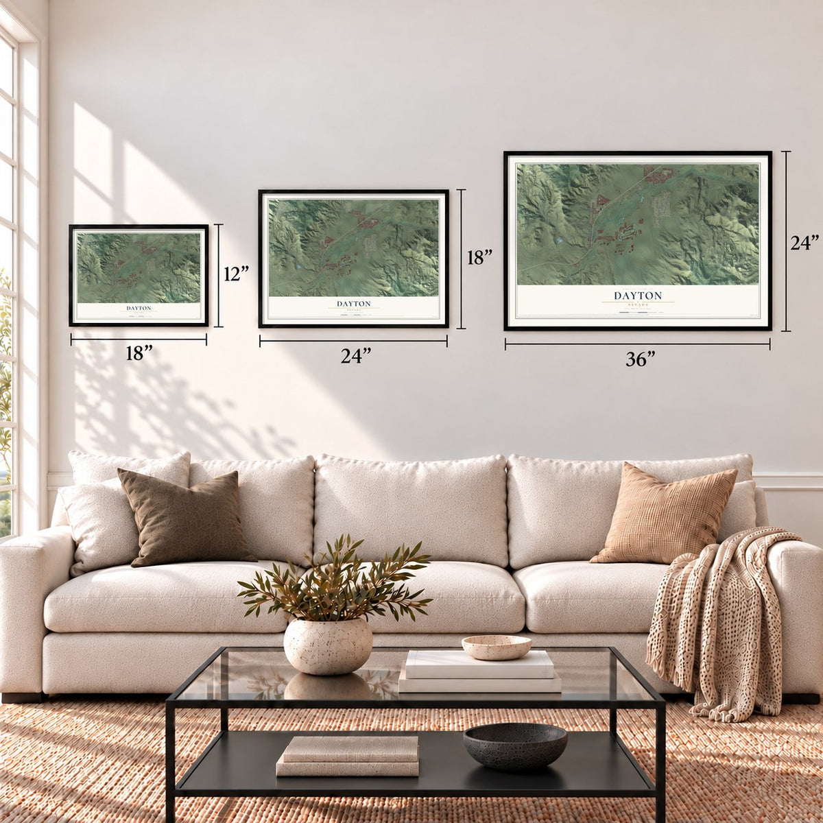
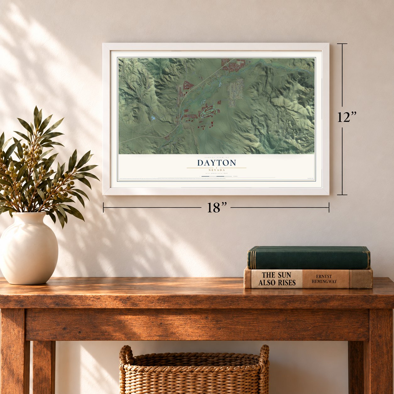
12" x 18" Archival Matte Print
A Map of Home. A Work of Art.
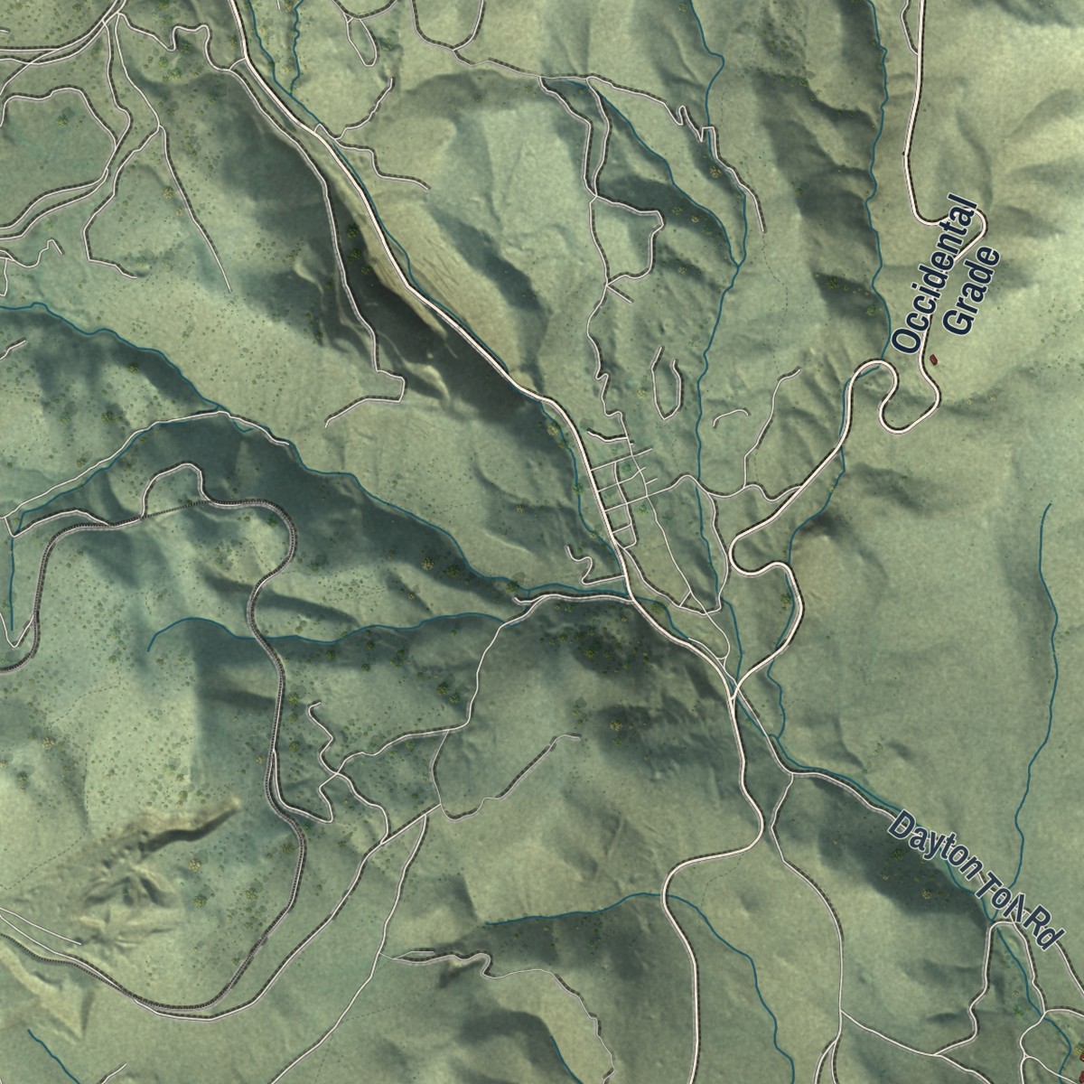
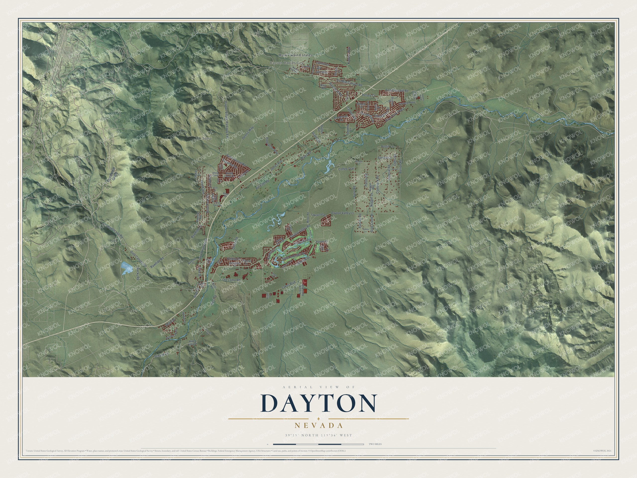
Explore Dayton, Nevada from a whole new perspective. Created using aerial imagery and detailed geographic data, this map captures Dayton building by building, with labeled streets, familiar landmarks, and shaded topographical relief that highlights the natural contours of the landscape.
Combining modern data with the timeless character of a vintage atlas, this map is just as interesting up close as it is beautiful on the wall. Whether you grew up in Dayton, spent memorable years there, or call it home today, this unique map is a great way to celebrate a place that means something to you. Zoom in on the preview to look for your street, and then order a print to put your memories on the wall.
Three ways to hang it
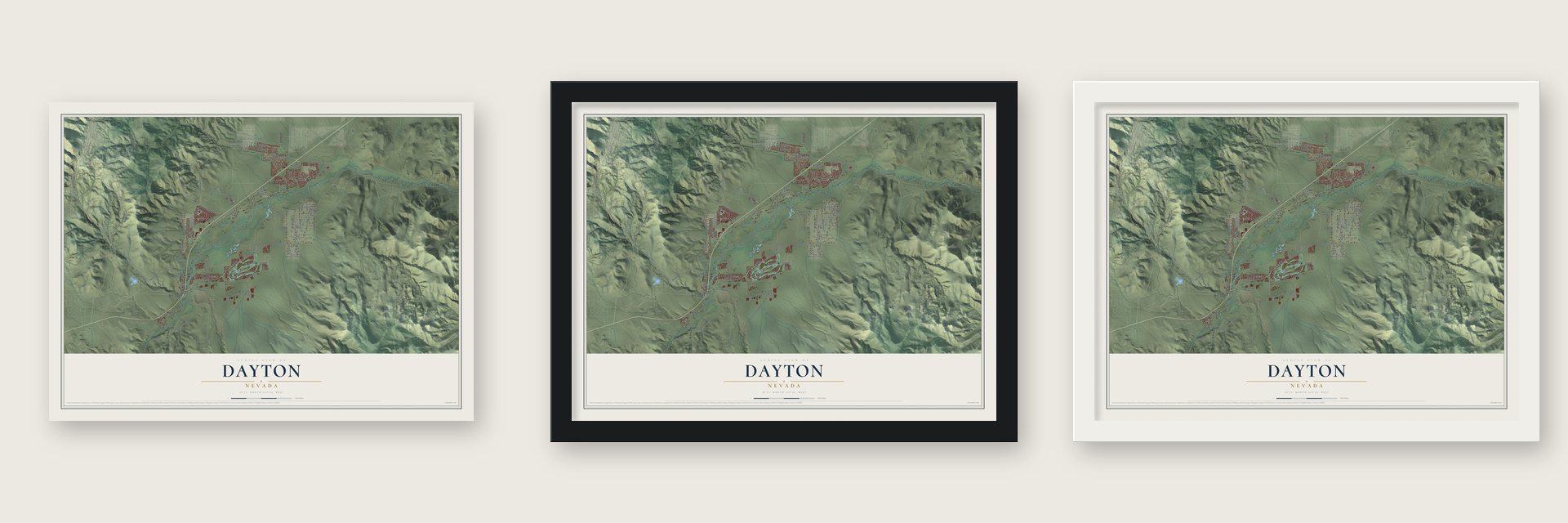
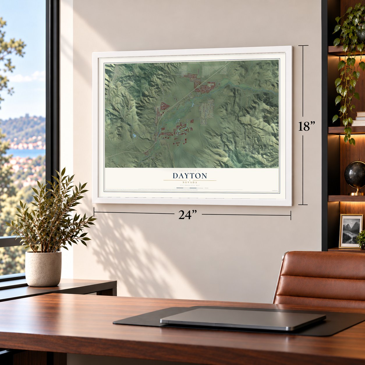
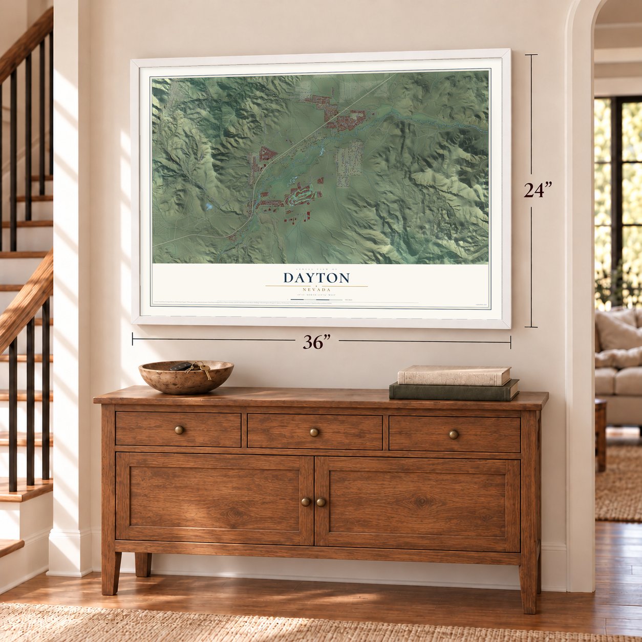
Unframed archival matte, a black wood frame or a white wood frame.
Up close
Geography Worth Displaying
This map was created using accurate cartographic data and authoritative geographic sources, including the U.S. Geological Survey and the Census Bureau. The map brings together terrain, waterways, roads, and building detail. The majority of the streets are labeled, houses are accurately depicted, and the topography is derived from government sources. Combining local data with carefully composed color and shading leads to this beautifully detailed Dayton artwork for your wall.
Rather than simply showing street outlines, we’ve included as many of the street names as we could reasonably fit on the map while keeping their names legible. Zoom in on the high resolution preview to see exactly what’s on the map. We truly set out to create a statement piece for anyone who loves Dayton. So whether it’s for you, or a gift for someone you love, we hope this map of Dayton brings back fond memories.

Find your street
Names on the Dayton map
Every name below is printed on this map. Look for your street, your school, the park where you played, or the pond down the road.
Places and landmarks3
- Carson Rapids City
- Sutro
- Mark Twain Estates
Streets and roads112
- Rawhide Road
- Sutro Road
- River Road
- Dayton Valley Lane
- Lakeview Drive
- Dayton Valley Road
- Riverboat Road
- Cardelli Road
- Fort Churchill Road
- Schaad Lane
- Dayton Toll Road
- Quilici Road
- Grosh Avenue
- River Park Parkway
- Six Mile Canyon Road
- Occidental Drive
- Lakes Boulevard
- James Avenue
- Comstock Road
- Bullion Road
- Dayton Village Parkway Extension
- Rose Peak Road
- Old Como Road
- Gold Canyon Road
- Enterprise Way
- Potosi Road
- Imperial Road
- Sutro Tunnel Road
- V&t Way
- Graves Drive
Show all 112 streets
- Saint Andrews Drive
- Dennis Way
- La Costa Avenue
- Nugget Lane
- Lonnie Lane
- Bayhill Circle
- Ricci Drive
- Jasper Lane
- Pike Street
- Pebble Drive
- Sugarloaf Drive
- Bill Eitel Road
- Cheatgrass Drive
- Eureka Lane
- Austin Lane
- Ophir Road
- Denio Drive
- Kadden Way
- Gold Creek Drive
- Rancho Road
- Coffee Trail
- Rawhide Lane
- Rocky Road
- Corral Drive
- Kelsey Court
- River Street
- Occidental Grade
- Silver Street
- Sheep Camp Drive
- Hall Street
- Kramer Way
- Egan Avenue
- River Vista Drive
- Ring Road
- Lakewood Drive
- Nugget Avenue
- Airpark Vista Boulevard
- Gordon Lane
- Winters Parkway
- Ferretto Parkway
- Old US Highway 50
- Flowery Avenue
- Stratton Drive
- Brookhaven Drive
- Aja Place
- Minor Road
- Stillwater Drive
- Harbor Drive
- Palmer Drive
- Channel Drive
- Sandefer Lane
- Catlin Street
- Klien Street
- Chukar Lane
- Valley View Drive
- Bobcat Drive
- Hughes Avenue
- Ricci Road
- Welle Street
- Retail Road
- Sheep Camp
- Grayhawk Drive
- Walmsley Court
- Pine Cone Road
- Spring Creek Drive
- Fischer Drive
- Evans Avenue
- Belmont Lane
- Sydney Lane
- Palmer Court
- Ione Lane
- Dwight Way
- Cambridge Drive
- Valley Circle
- Keystone Drive
- Halite Drive
- Smokey Hills Drive
- Golden Pick Drive
- Jobe Drive
- Rowan Gulch Road
- Yeager Court
- Water Way
Names are listed as they appear on the printed map. Zoom into the product photos to find them.
About Dayton, Nevada
Dayton is a community of 15,153 people in Lyon County, at a bend in the Carson River on the western edge of the Twenty-Six Mile Desert. Travelers bound for California stopped here for water and had to choose between going south along the river or heading on to the west. Because of that choice, the spot was first known as Ponderers Rest. A gold nugget turned up in nearby Gold Creek in 1849, found by Abner Blackburn, and by 1850 placer miners had settled at the mouth of Gold Cañon.
The Comstock Lode was found in 1859, and most miners left for Gold Hill and Virginia City, 6 miles to the north. Soon people saw that milling ore and selling goods paid better than digging, so many came back. In 1861 the town took the name Dayton for John Day, the surveyor who laid it out, and on November 29, 1861, it became the seat of Lyon County. With water from the river, Dayton became the Comstock's first major milling town, growing from 78 people in 1860 to 2,500 in 1865.
- China Town in 1860Many Chinese miners came to Gold Cañon in 1857 to escape California mining taxes aimed at them. After most other miners left for the Comstock, the Chinese miners stayed. The 1860 U.S. census listed the settlement as China Town.
- Fires and a lost county seatGreat Fires in 1866 and 1870 shrank the town, and the Virginia and Truckee Railroad, opened in 1869, moved ore milling upstream. The Carson & Colorado Railroad brought some business back in 1881. In 1909 fire destroyed the Lyon County Courthouse, and Yerington residents pushed to move the county seat south, which happened in 1911. Dayton did not pass its 1865 peak of 2,500 people until 1930.
- The Misfits in 1961John Huston filmed parts of The Misfits in Dayton. It was the last movie Clark Gable and Marilyn Monroe appeared in.
- Nevada's oldest schoolhouseOld Dayton lies within the Comstock Historic District, with a small main street and the large Odeon Hall. Its museum fills an 1865 schoolhouse, the oldest in Nevada still standing where it was built.
- Older than GenoaPioneer Lucena Parsons waited several weeks at the mouth of Gold Cañon for snow to clear from the Sierra Nevada. Her journal records more than 200 miners at work when her wagon train arrived. About three weeks later she watched Colonel Reese and his party pass on their way to found Mormon Station, today's Genoa. Genoa answers that it had the region's first post office.
Keep exploring Nevada
Dayton is one of 152 Nevada towns we've mapped. Every dot on the map is a print of its own.
The search covers every state, Nevada first.
Near Dayton
Order 2 or more town maps and save 10%. Shown in the size and finish you picked above, so they hang as a set.
- Silver City 12" x 18" / Archival Matte Print $39.99
- Virginia City 12" x 18" / Archival Matte Print $39.99
- Stagecoach 12" x 18" / Archival Matte Print $39.99


More maps nearby: Washoe Valley, Pleasant Valley, Carson City, Johnson Lane and Indian Hills.
The art of mapping a place
How This Map Was Made
Real places. Remarkable detail. Discover the layers that turn geographic data into a map of home.

The view from above
Aerial imagery reveals the character of the land: woodland, open fields, and the patterns of a place.

The shape of the land
Elevation data brings hills, valleys, and subtle changes in the landscape into view.

The details of home
Roads, waterways, and building footprints come together to make the map feel unmistakably local.

Geography becomes art
Considered color, shading, and typography bring the layers together in a map made for your wall.


Process illustrated with Mendon, Massachusetts. Aerial imagery: USDA NAIP. Terrain: USGS 3D Elevation Program. Map details and finished artwork: KNOWOL.
The Details
About This Print
Choose an archival matte print, or a black or white Ayous wood frame. The archival matte print is unframed.
Select your size and finish above to see the matching product image and price.
Materials & Craftsmanship
A contemporary map with the character of a classic atlas, printed on archival matte paper. Optional frames are made from Ayous wood.
Your printed map does not include the watermark shown in the full-map preview.
Shipping & Delivery
Free shipping within the United States. Every print is made to order in the USA.
Buying a gift? Add a note in your cart and we'll include it. We never put prices in the package.
Prints ship within 2 to 3 business days. Allow 7 to 10 days total from ordering for delivery. Timing may vary during holidays or periods of high order volume.
Read our shipping policy.
Returns and damaged prints
Each print is made to order. Change-of-mind refunds are not available after production.
If your print arrives damaged, misprinted or incorrect, contact support@knowol.com within 30 days of receiving it. Include your order number, photos and a description of the issue.
Read our full refund and replacement policy. For questions about your order, email support@knowol.com.