
Search for another town
Free U.S. delivery 7 to 10 days after you order
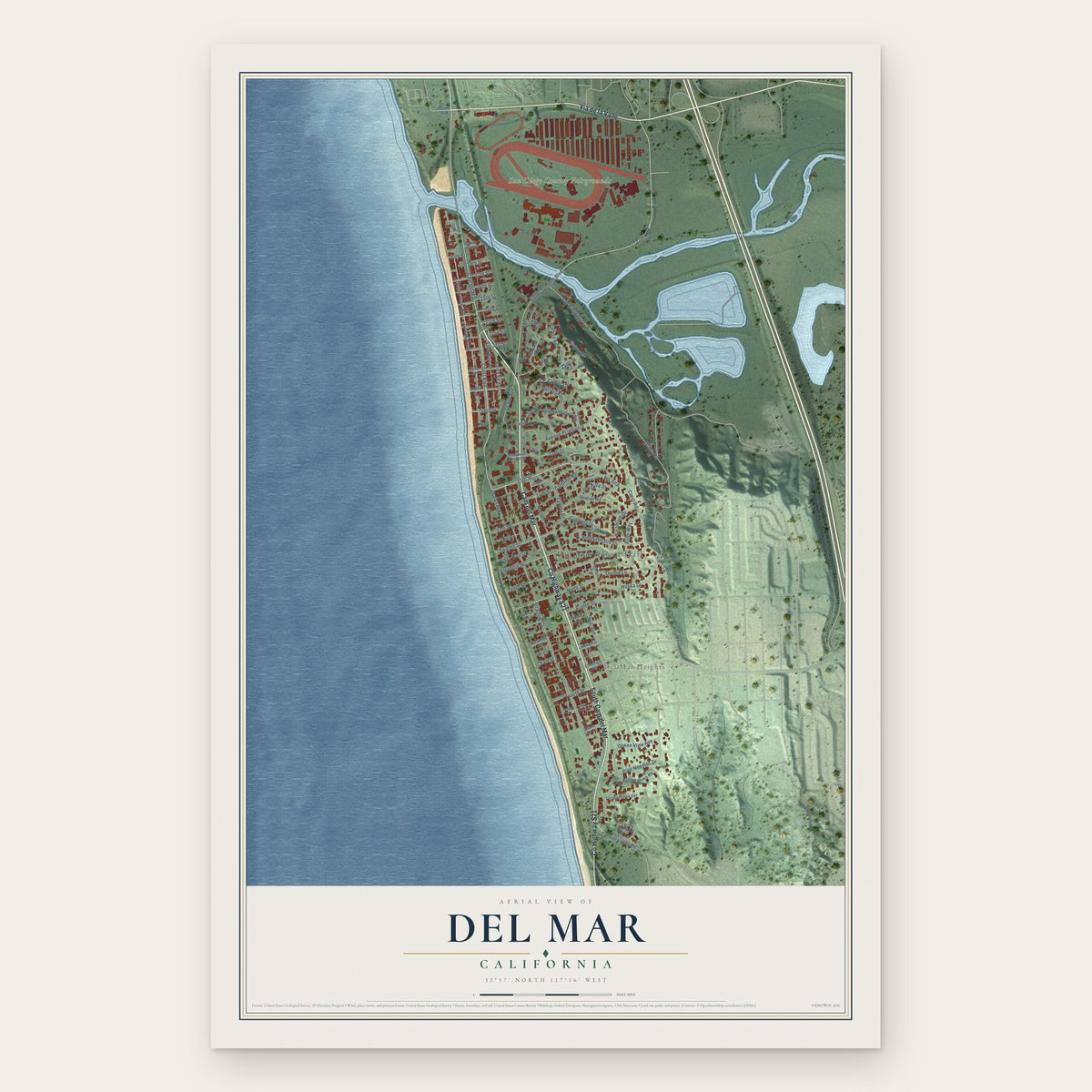
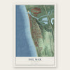
Del Mar, California Map Art
Building by building, with labeled streets and shaded relief.
12" x 18" Archival Matte Print
A Map of Home. A Work of Art.
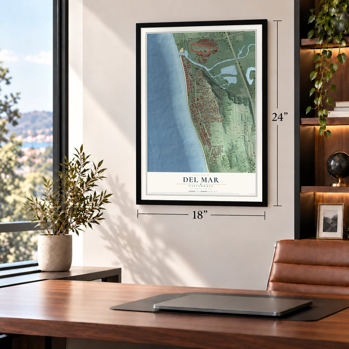
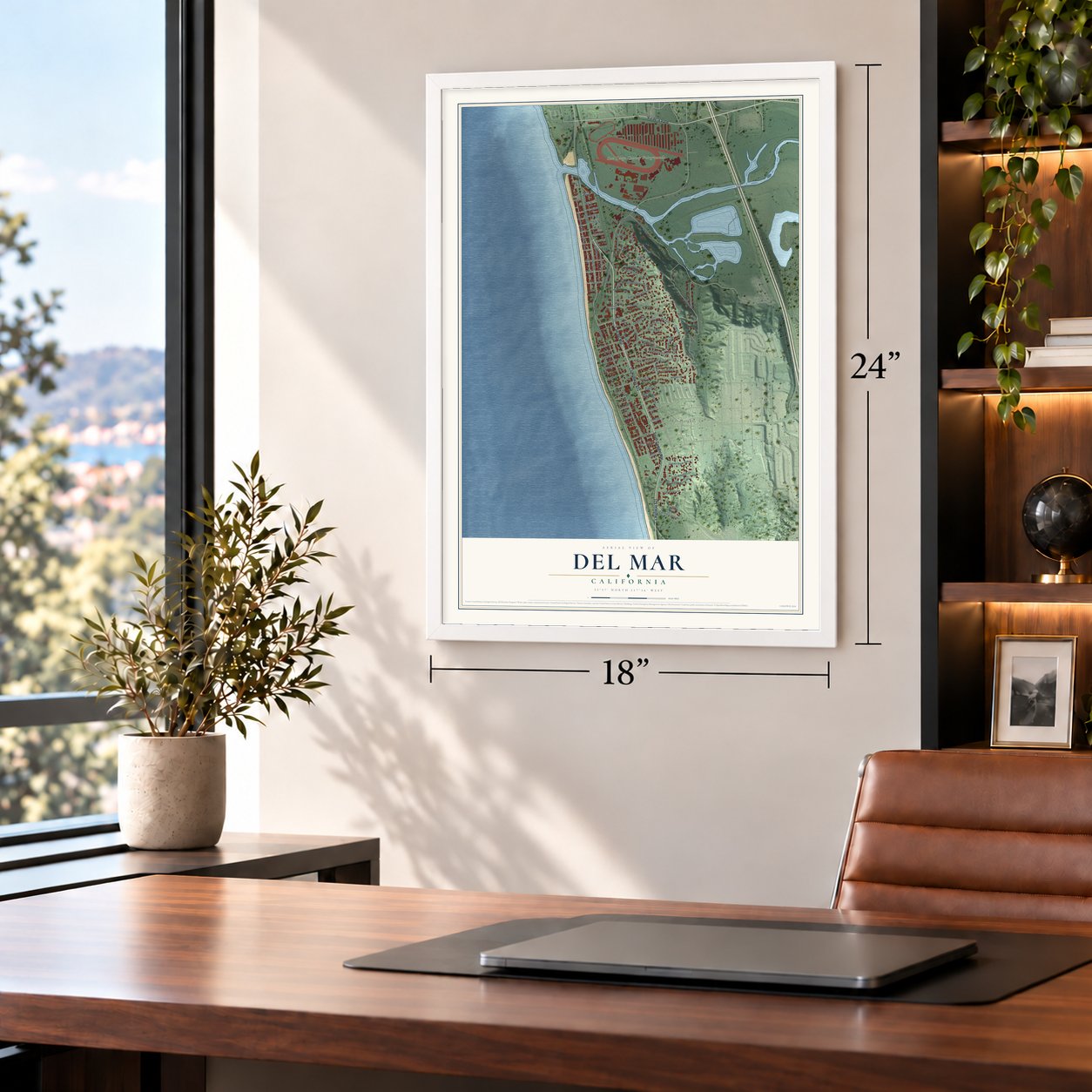
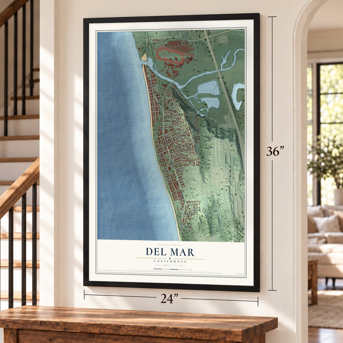
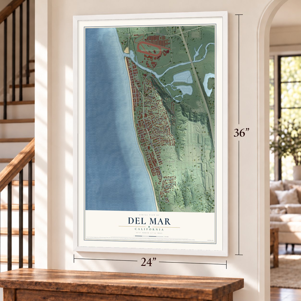
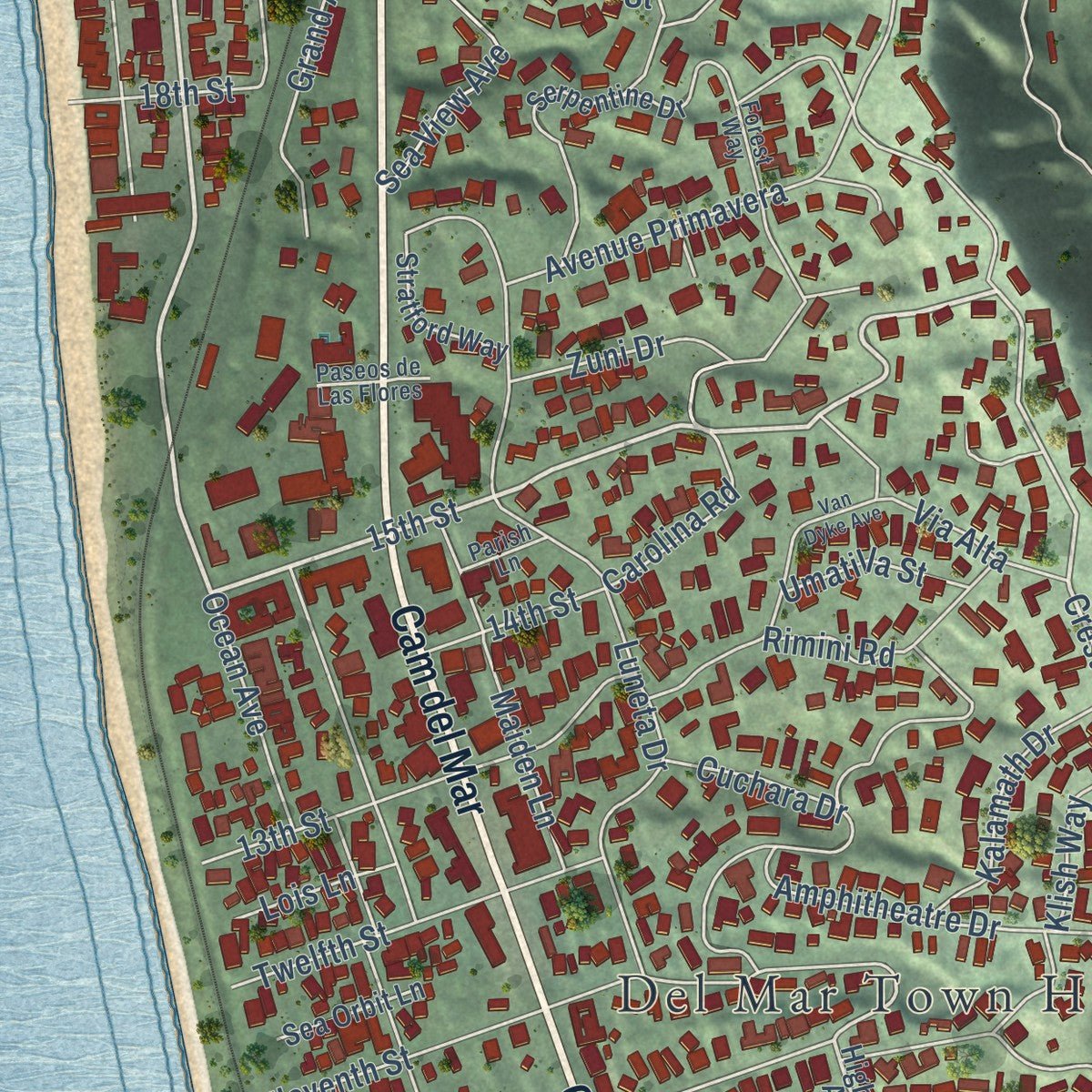
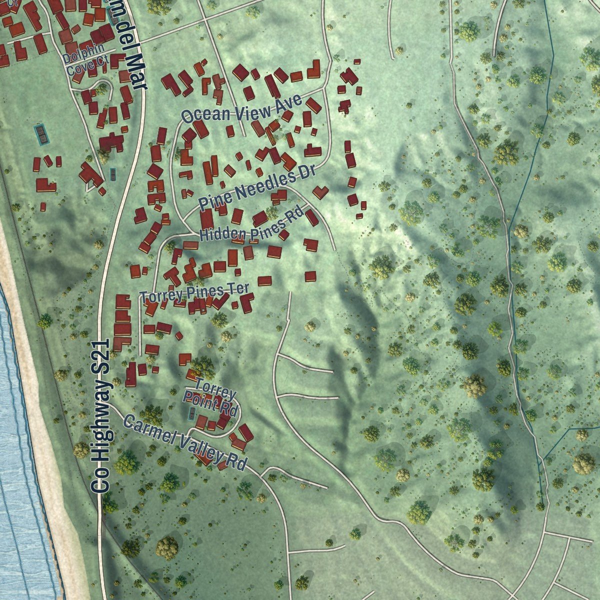
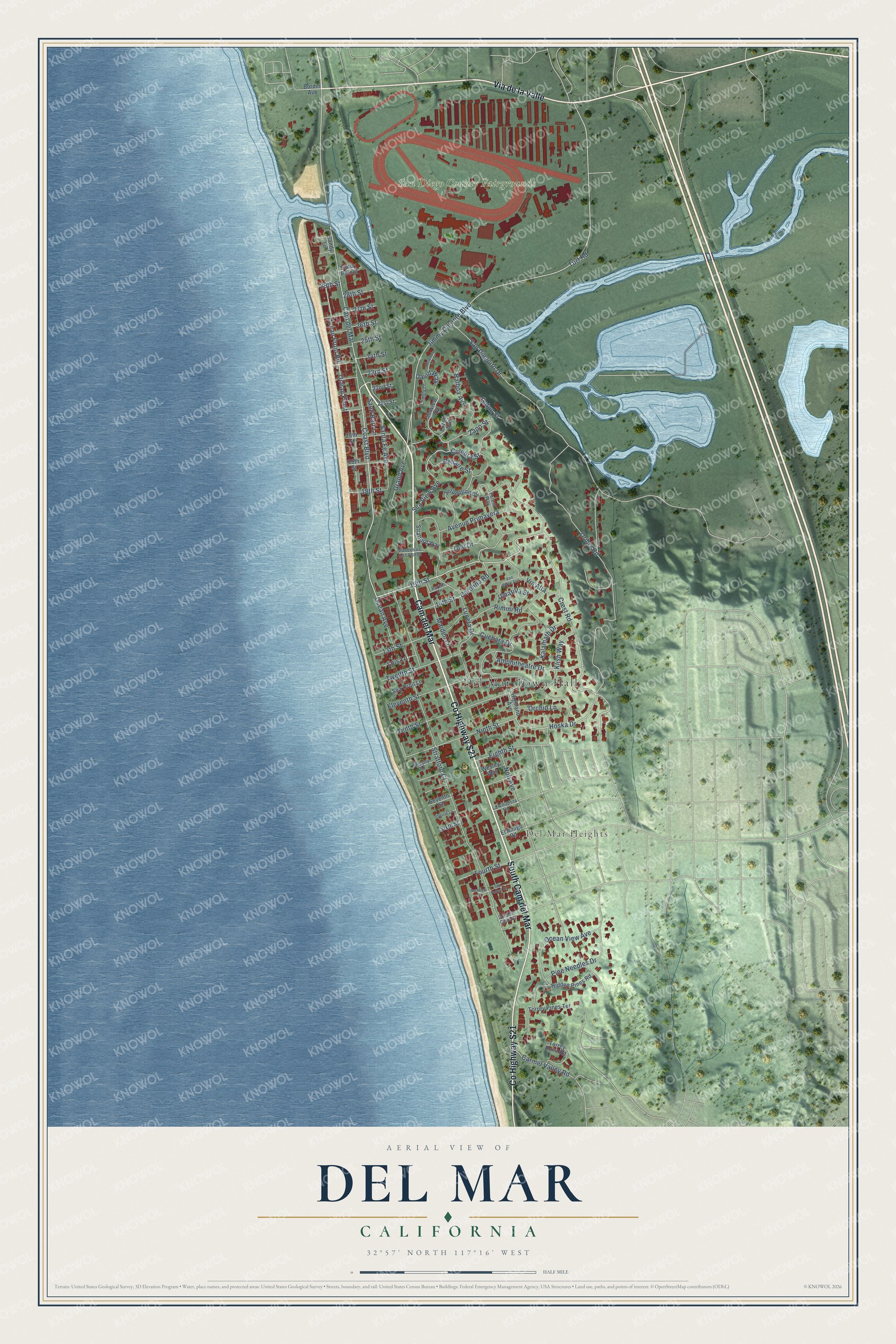
Explore Del Mar, California from a whole new perspective. Created using aerial imagery and detailed geographic data, this map captures Del Mar building by building, with labeled streets, familiar landmarks, and shaded topographical relief that highlights the natural contours of the landscape.
Combining modern data with the timeless character of a vintage atlas, this map is just as interesting up close as it is beautiful on the wall. Whether you grew up in Del Mar, spent memorable years there, or call it home today, this unique map is a great way to celebrate a place that means something to you. Zoom in on the preview to look for your street, and then order a print to put your memories on the wall.
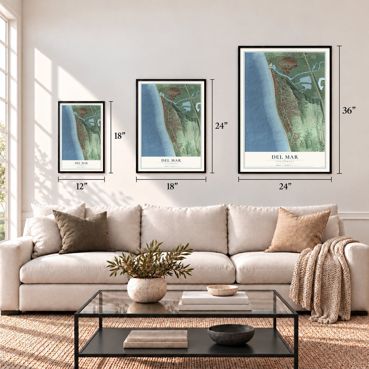
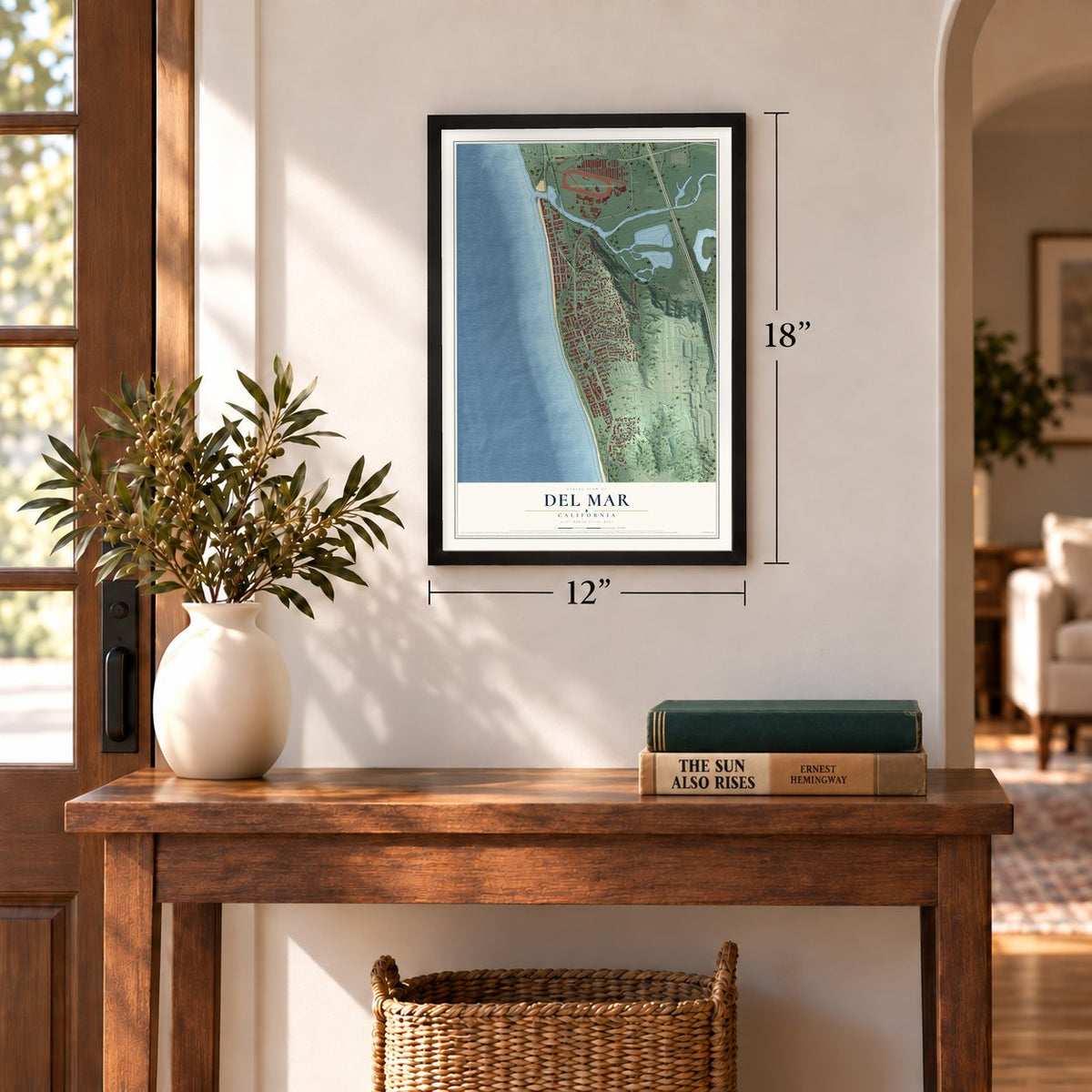
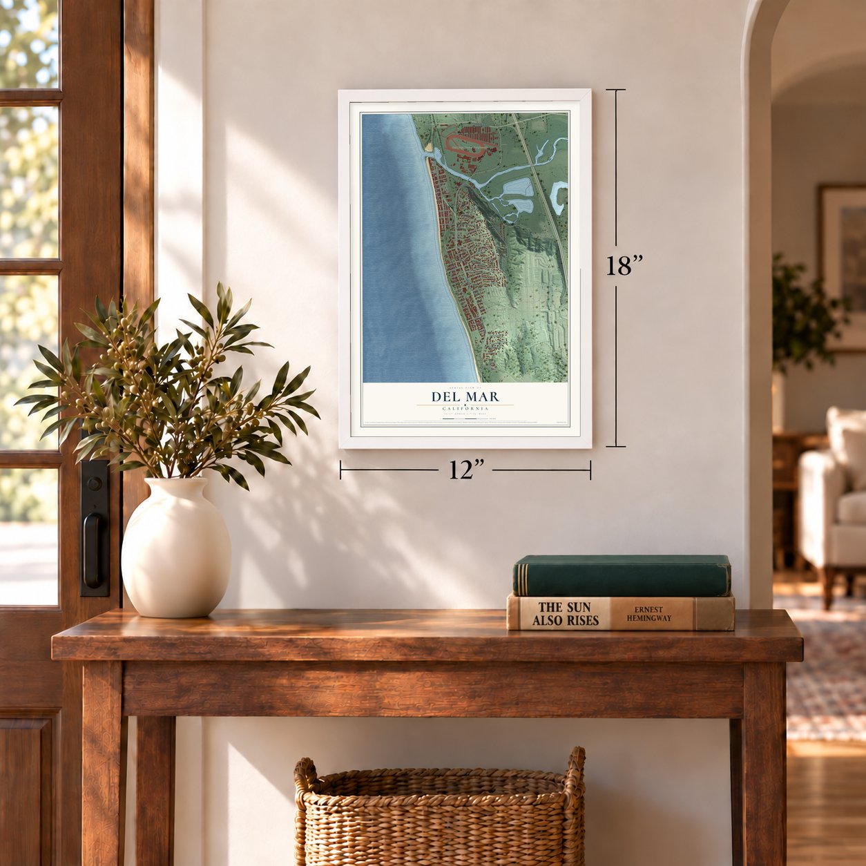
Three ways to hang it
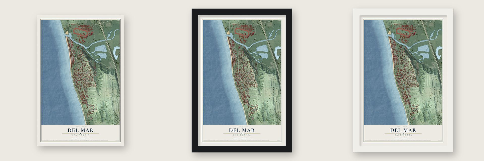
Unframed archival matte, a black wood frame or a white wood frame.
Up close
Geography Worth Displaying
This map was created using accurate cartographic data and authoritative geographic sources, including the U.S. Geological Survey and the Census Bureau. The map brings together terrain, waterways, roads, and building detail. The majority of the streets are labeled, houses are accurately depicted, and the topography is derived from government sources. Combining local data with carefully composed color and shading leads to this beautifully detailed Del Mar artwork for your wall.
Rather than simply showing street outlines, we’ve included as many of the street names as we could reasonably fit on the map while keeping their names legible. Zoom in on the high resolution preview to see exactly what’s on the map. We truly set out to create a statement piece for anyone who loves Del Mar. So whether it’s for you, or a gift for someone you love, we hope this map of Del Mar brings back fond memories.
Read the story behind this map of Del Mar, California from 2026.
Find your street
Names on the Del Mar map
Every name below is printed on this map. Look for your street, your school, the park where you played, or the pond down the road.
Places and landmarks3
- Del Mar Town Hall
- Del Mar Heights
- San Diego County Fairgrounds
Streets and roads92
- Cam del Mar
- Via de la Valle
- South Cam del Mar
- County Highway S21
- Coast Boulevard
- 15th Street
- Crest Road
- Jimmy Durante Boulevard
- Hoska Drive
- Ninth Street
- Tenth Street
- Ocean Avenue
- Carolina Road
- Stratford Court
- Oribia Road
- San Dieguito Drive
- Ocean Front
- Luneta Drive
- Ocean Front Road
- Sea View Avenue
- Ocean View Avenue
- Eleventh Street
- Avenue Primavera
- Nob Avenue
- Klish Way
- Zapo Street
- Grand Avenue
- Cuchara Drive
- Zuni Drive
- 13th Street
Show all 92 streets
- Eighth Street
- Balboa Avenue
- Amphitheatre Drive
- Rimini Road
- Pine Needles Drive
- Twelfth Street
- Maiden Lane
- Carmel Valley Road
- Santa Fe Avenue
- Via Alta
- Umatilla Street
- Kalamath Drive
- 24th Street
- Bellaire Street
- Orchid Lane
- Fourth Street
- 27th Street
- 25th Street
- 26th Street
- 23rd Street
- Gatun Street
- Sand Barr Lane
- 18th Street
- 14th Street
- Lois Lane
- Turf Road
- Culebra Street
- David Way
- 28th Street
- 29th Street
- Highland Avenue
- Border Avenue
- Serpentine Drive
- Seaview Avenue
- Luzon Avenue
- Seventh Street
- Sandy Lane
- Torrey Point Road
- Hidden Pines Road
- 19th Street
- 20th Street
- 22nd Street
- Torrey Pines Terrace
- Stratford Way
- 21st Street
- Sea Orbit Lane
- Wesley Way
- El Amigo Road
- Sandy Pointe
- Sixth Street
- Forest Way
- Christy Lane
- La Amatista Road
- Shippey Lane
- Paseos de Las Flores
- Dolphin Cove Court
- Parish Lane
- Van Dyke Avenue
- Sea Forest Court
- Sherrie Lane
- Heather Lane
- Surfview Court
Names are listed as they appear on the printed map. Zoom into the product photos to find them.
About Del Mar, California
Del Mar is a city of 3,954 people in San Diego County, on the Pacific coast. Theodore M. Loop came from New York as an official of the California Southern Railroad, and in 1882 he and his wife Ella settled here along its planned route. Ella named the place for a Bayard Taylor poem, "The Fight of Paso del Mar." In 1885 Loop asked Colonel Jacob Taylor, a rancher, to build a town with him. Taylor bought 338 acres from Enoch Talbert and planned a resort for wealthy visitors.
By 1888 about 25 homes stood along what is now 10th Street. The next year a kitchen fire destroyed Taylor's hotel, Casa del Mar, and floods cut the town off. Taylor lost his ranch in the recession and left California, and fewer than a hundred people remained at the end of the century. In 1905 the South Coast Land Company bought his land and hired Ed Fletcher to lay out roads. Architect John C. Austin built the Tudor Revival Stratford Inn on the old hotel site around 1910, and Hollywood's silent film stars soon made it a favorite.
“Del Mar has class written all over it ... Del Mar has the Spanish touch of Old California, the artistic, aristocratic air of the day of the Dons.”
- Where the turf meets the surfA state grant bought the land, and the first fair opened here in 1936. William Quigley then pitched a racetrack to Bing Crosby, who recruited Hollywood friends, and the track opened a year later. A line from a song Crosby recorded for it became the town's slogan.
- Blimps and recruits in wartimeDuring World War II the Navy ran an air facility for blimps at Del Mar, and the Hotel Del Mar housed military personnel. Thousands of Army recruits trained on a pier built in 1908, and Marines from Camp Pendleton drilled on the beaches. After the war the Navy gave its property to Del Mar for $1.00.
- Incorporated in 1959Residents voted to form a city in 1959, largely to keep high rises off the coast, as had happened in La Jolla after it joined San Diego. Opponents feared the tax cost of running separate city services and forced a second vote in 1961, but incorporation won again by a wider margin.
- Home of the Torrey pineThe Torrey pine, the rarest pine in the United States, grows naturally only at Del Mar and on Santa Rosa Island. A campaign begun in 1964 added land here to the Torrey Pines reserve in 1970, and a Torrey pine branch now appears in the city logo.
Keep exploring California
Del Mar is one of 1,990 California towns we've mapped. Every dot on the map is a print of its own.
The search covers every state, California first.
Near Del Mar
Order 2 or more town maps and save 10%. Shown in the size and finish you picked above, so they hang as a set.
- Del Mar Heights 12" x 18" / Archival Matte Print $39.99
- Solana Beach 12" x 18" / Archival Matte Print $39.99
- Torrey Pines 12" x 18" / Archival Matte Print $39.99
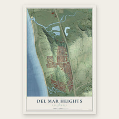
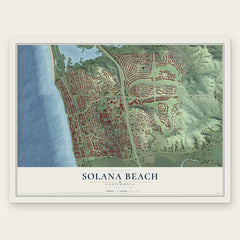
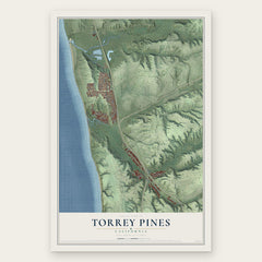
More maps nearby: Carmel Valley, Fairbanks Ranch Country Club, Pacific Highlands Ranch, Torrey Hills and Cardiff-by-the-Sea.
The art of mapping a place
How This Map Was Made
Real places. Remarkable detail. Discover the layers that turn geographic data into a map of home.

The view from above
Aerial imagery reveals the character of the land: woodland, open fields, and the patterns of a place.

The shape of the land
Elevation data brings hills, valleys, and subtle changes in the landscape into view.

The details of home
Roads, waterways, and building footprints come together to make the map feel unmistakably local.

Geography becomes art
Considered color, shading, and typography bring the layers together in a map made for your wall.


Process illustrated with Mendon, Massachusetts. Aerial imagery: USDA NAIP. Terrain: USGS 3D Elevation Program. Map details and finished artwork: KNOWOL.
The Details
About This Print
Choose an archival matte print, or a black or white Ayous wood frame. The archival matte print is unframed.
Select your size and finish above to see the matching product image and price.
Materials & Craftsmanship
A contemporary map with the character of a classic atlas, printed on archival matte paper. Optional frames are made from Ayous wood.
Your printed map does not include the watermark shown in the full-map preview.
Shipping & Delivery
Free shipping within the United States. Every print is made to order in the USA.
Buying a gift? Add a note in your cart and we'll include it. We never put prices in the package.
Prints ship within 2 to 3 business days. Allow 7 to 10 days total from ordering for delivery. Timing may vary during holidays or periods of high order volume.
Read our shipping policy.
Returns and damaged prints
Each print is made to order. Change-of-mind refunds are not available after production.
If your print arrives damaged, misprinted or incorrect, contact support@knowol.com within 30 days of receiving it. Include your order number, photos and a description of the issue.
Read our full refund and replacement policy. For questions about your order, email support@knowol.com.