
Search for another town

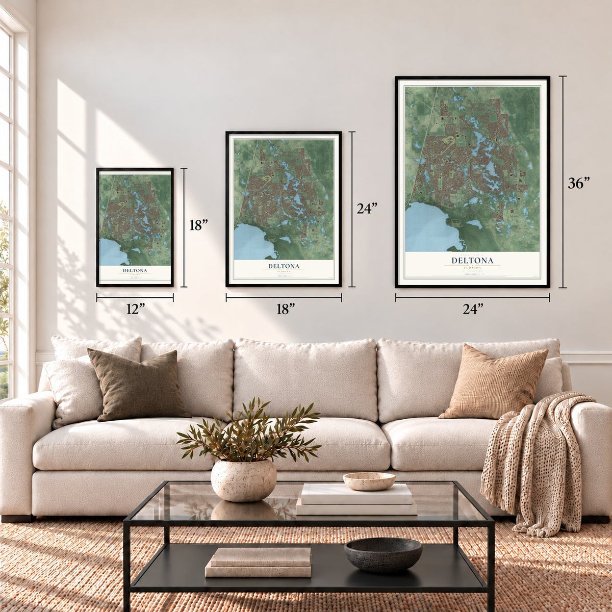

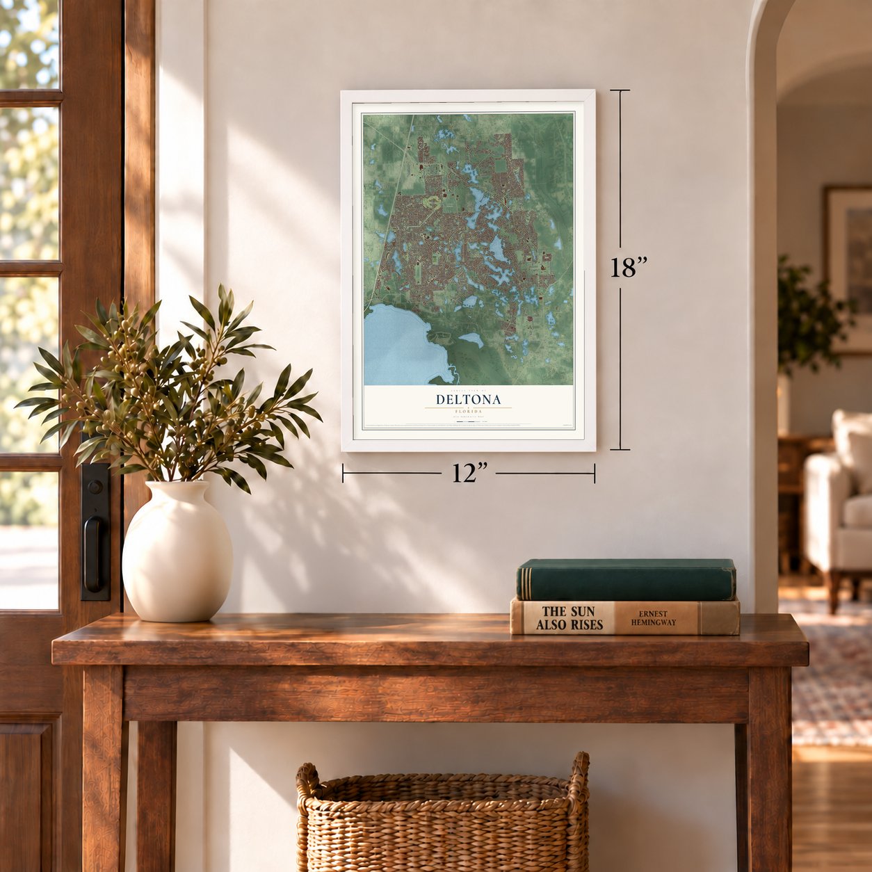

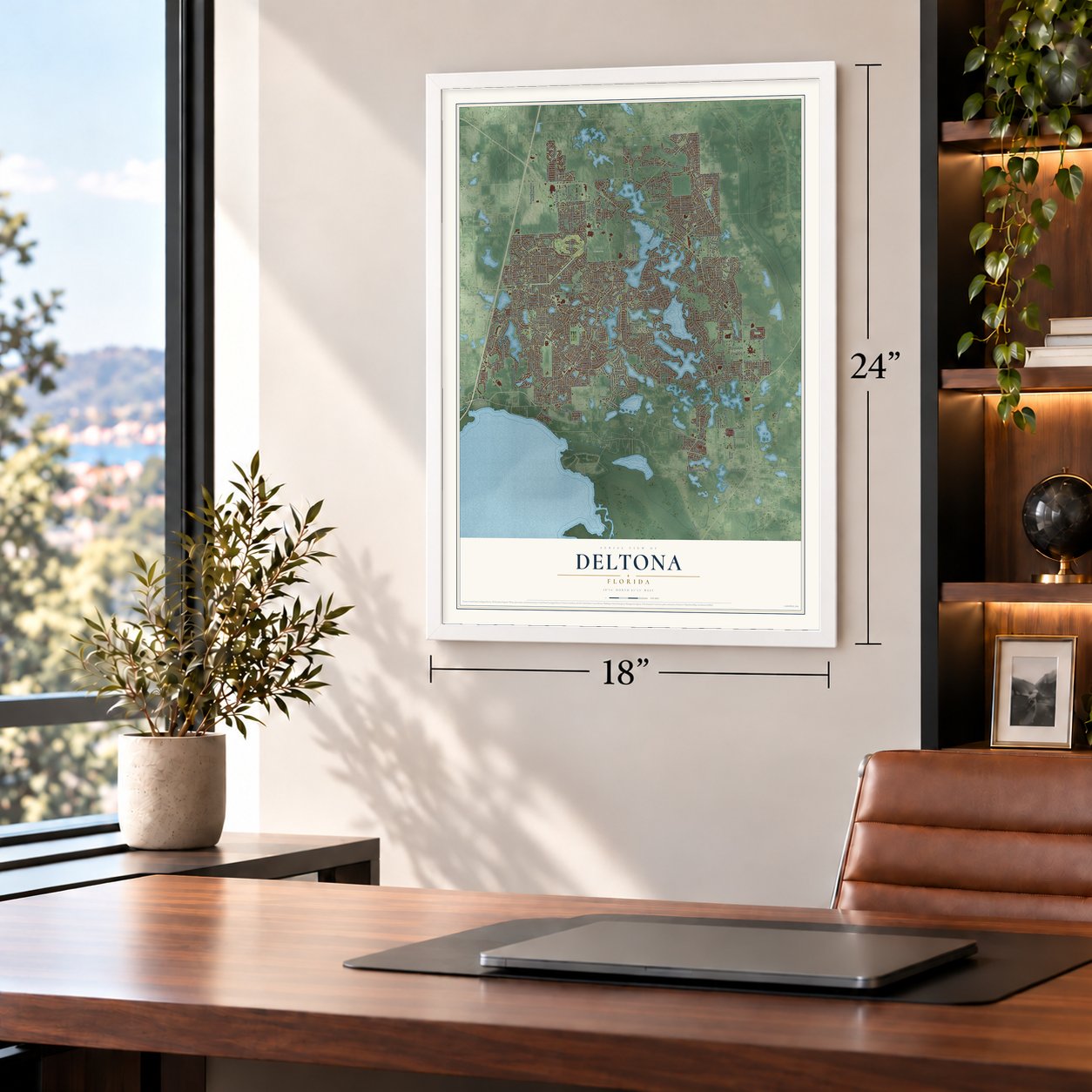

Free U.S. delivery 7 to 10 days after you order
Deltona, Florida Map Art
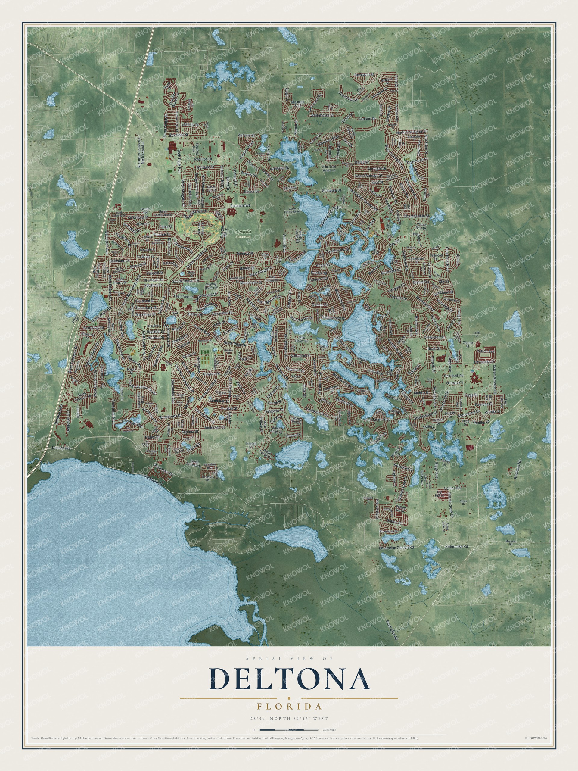
A new map of Deltona, Florida, made in 2026 and printed to order on thick archival matte paper.
12" x 18" Archival Matte Print
A Map of Home. A Work of Art.
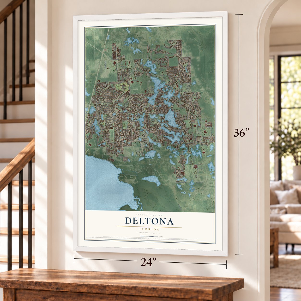
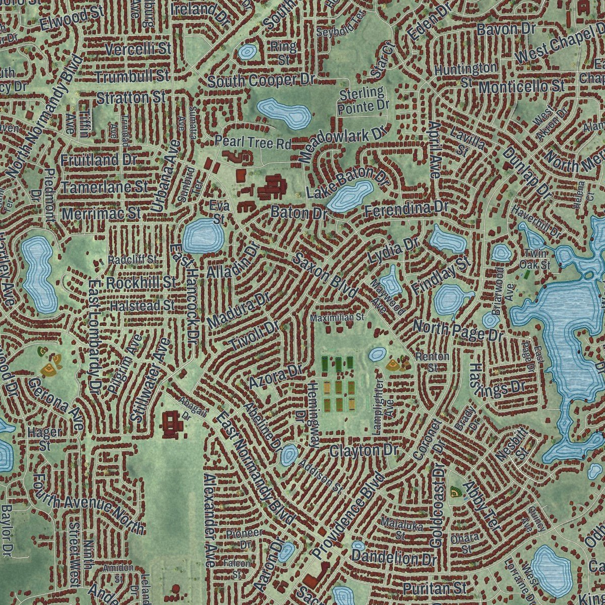
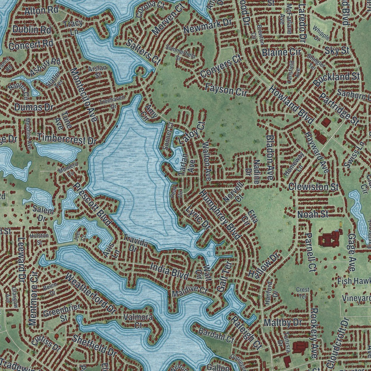
Explore Deltona, Florida from a whole new perspective. Created using aerial imagery and detailed geographic data, this map captures Deltona building by building, with labeled streets, familiar landmarks, and shaded topographical relief that highlights the natural contours of the landscape.
Combining modern data with the timeless character of a vintage atlas, this map is just as interesting up close as it is beautiful on the wall. Whether you grew up in Deltona, spent memorable years there, or call it home today, this unique map is a great way to celebrate a place that means something to you. Zoom in on the preview to look for your street, and then order a print to put your memories on the wall.
Three ways to hang it
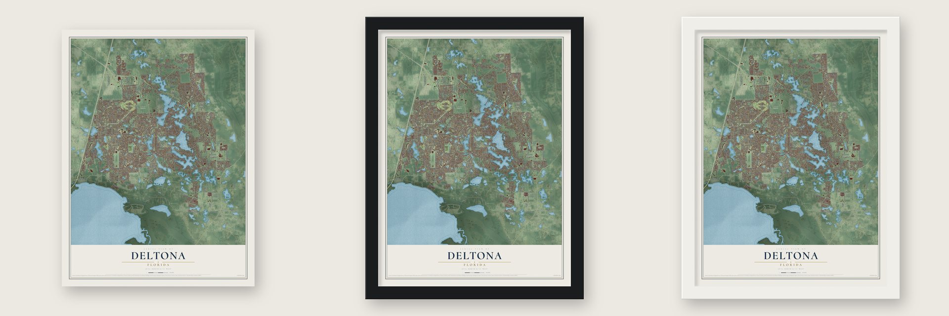
Unframed archival matte, a black wood frame or a white wood frame.
Up close
Geography Worth Displaying
This map was created using accurate cartographic data and authoritative geographic sources, including the U.S. Geological Survey (USGS) and FEMA. The map brings together terrain, waterways, roads, and building detail. The majority of the streets are labeled, houses are accurately depicted, and the topography is derived from government sources. Combining local data with carefully composed color and shading leads to this beautifully detailed Deltona artwork for your wall.
Rather than simply showing street outlines, we’ve included as many of the street names as we could reasonably fit on the map while keeping their names legible. Zoom in on the high resolution preview to see exactly what’s on the map. We truly set out to create a statement piece for anyone who loves Deltona. So whether it’s for you, or a gift for someone you love, we hope this map of Deltona brings back fond memories.
Explore the full map of Deltona, Florida and read about the local places it shows.

About Deltona, Florida
The 2020 census counted 93,692 people in Deltona, a city in Volusia County.
- 93,692 peopleRecorded for Deltona in the 2020 census.
- Volusia CountyDeltona belongs to Volusia County in Florida.
- 41.1 square milesDeltona covers a total area of 41.1 square miles.
- Incorporated in 1995Deltona was incorporated in 1995.
Find your street
Names on the Deltona map
Every name below is printed on this map. Look for your street, your school, the park where you played, or the pond down the road.
Places and landmarks1
- Lyonia Preserve
Streets and roads466
- Courtland Boulevard
- Enterprise Road
- Enterprise Osteen Road
- East Hancock Drive
- Fountainhead Drive
- Debary Avenue
- Gator Lane
- Lake Shore Drive
- West Gaucho Circle
- Villa Drive
- Howland Boulevard
- Fort Smith Boulevard
- Providence Boulevard
- Elkcam Boulevard
- Saxon Boulevard
- East Normandy Boulevard
- Newmark Drive
- Lake Helen Osteen Road
- Deltona Boulevard
- Doyle Road
- North Normandy Boulevard
- Catalina Boulevard
- India Boulevard
- Humphrey Boulevard
- Whitewood Drive
- Captain Drive
- Tivoli Drive
- Montecito Avenue
- Laredo Drive
- Austin Avenue
Show all 466 streets
- Alexander Avenue
- Prescott Boulevard
- Sullivan Street
- Dumas Drive
- Cloverleaf Boulevard
- Anderson Street
- Peach Creek Drive
- Eustace Avenue
- Adelia Boulevard
- Haulover Boulevard
- Derby Drive
- Urbana Avenue
- Leeward Drive
- Concert Road
- South Old Mill Drive
- Fayson Circle
- Vicksburg Street
- Beal Street
- Reed Ellis Road
- West Seagate Drive
- Tradewinds Drive
- Anderson Drive
- Timbercrest Drive
- Blaine Circle
- Azora Drive
- Meadowlark Drive
- East Lombardy Drive
- Coachman Drive
- Irondale Street
- Monticello Street
- Trade Street
- Stillwater Avenue
- Kimberly Drive
- Merrimac Street
- Trumbull Street
- Feather Drive
- Sixma Road
- Gatewood Drive
- Swanson Drive
- Collins Road
- West Finland Drive
- West Embassy Drive
- Gage Avenue
- Ferendina Drive
- Joyner Drive
- Rosedale Drive
- Beckwith Street
- Baton Drive
- Dublin Road
- Sheffield Drive
- Corrigan Drive
- West Chapel Drive
- Sky Street
- Dunlap Drive
- Bavon Drive
- Snook Drive
- Perimeter Drive
- Summit Hill Drive
- West Covington Drive
- Ainsworth Avenue
- Sweet Springs Street
- Parma Drive
- Weatherford Drive
- Sedgefield Avenue
- Hartley Avenue
- Cloudcroft Drive
- North Covington Drive
- North Old Mill Drive
- Worthington Drive
- Quail Drive
- Monterey Drive
- Clayton Drive
- Albury Avenue
- North Merrick Drive
- Alton Road
- Snow Drive
- Mentmore Circle
- Fifer Drive
- Boxelder Street
- Fruitland Drive
- Brewster Drive
- Kettering Road
- Fourth Avenue North
- Leonard Drive
- Haversham Road
- Buckland Street
- Gainsboro Street
- Dandelion Drive
- Florida Drive
- Maltby Drive
- Windbrook Drive
- Sacramento Street
- Eden Drive
- Heather Lane Drive
- North Page Drive
- Puritan Street
- Loblolly Street
- Whitehorse Street
- Kumpula Drive
- Lyric Drive
- Lydia Drive
- Fernanda Drive
- Lake Baton Drive
- Wolf Pack Run
- Barry Drive
- East Gloria Drive
- Sandlor Drive
- April Avenue
- Croton Avenue
- Omaha Drive
- Mitchell Island Road
- Belltower Avenue
- Chamberlain Street
- Red Fox Drive
- Kingway Drive
- Forest Edge Drive
- Tansboro Drive
- Monument Drive
- Abby Terrace
- Madura Drive
- Riggs Avenue
- Utah Drive
- South Cooper Drive
- Armadillo Drive
- Dudley Drive
- Watersedge Drive
- Clewiston Street
- Goldcoast Drive
- Stratton Street
- Partridge Street
- Monica Street
- Morven Court
- Shallowford Street
- Rockhill Street
- Keelhaul Road
- Conyers Court
- Hastings Drive
- Ronda Drive
- Voltaire Street
- Aaron Drive
- Scottville Avenue
- Galveston Avenue
- Riverhead Drive
- Tamerlane Street
- Candlewick Street
- Staten Drive
- Hoover Drive
- Parnell Court
- Van Orman Drive
- Vercelli Street
- Jewel Avenue
- Sherbrook Drive
- Kingsdale Drive
- Bladon Avenue
- Day Road
- Gregory Drive
- Jena Drive
- Elwood Street
- Rookery Avenue
- Barrow Street
- Hallow Drive
- Fisher Drive
- Lodge Terrace
- Adler Drive
- Gerona Avenue
- Algoma Street
- Surf Drive
- Citation Avenue
- Alladin Drive
- Noah Street
- Salters Court
- Autumn Street
- Pamona Street
- Patron Avenue
- Dalton Avenue
- Odham Drive
- Ireland Drive
- Raleigh Court
- Findlay Street
- Lafoy Court
- Coble Drive
- Galt Terrace
- Carrin Street
- Utica Street
- West Kingway Drive
- East Old Mill Drive
- Galena Terrace
- Normandy Boulevard North Extended
- Amboy Drive
- Sylvia Drive
- August Sky Drive
- West Wellington Drive
- Roland Drive
- East Chapel Drive
- Ninth Street West
- Coronet Drive
- Hemingway Drive
- Arlene Drive
- Highland Drive
- Berkshire Woods Terrace
- Osteen Cemetery Road
- Copper Beech Boulevard
- Eldron Avenue
- Saint James Avenue
- Beaver Drive
- Otis Avenue
- Pearl Tree Road
- Shadow Ridge Drive
- Greenbrier Street
- Tallwood Drive
- Hayward Avenue
- Golden Arm Road
- South Avenue
- Wallingford Street
- Wisteria Court
- Abeline Drive
- Nadine Drive
- Corolla Court
- Maldive Court
- Stallings Avenue
- Tabb Drive
- Norvell Court
- Arbour Trail Court
- Candler Drive
- Baylor Drive
- Vaughn Avenue
- Halstead Street
- Borinquen Lane
- South Fairbairn Drive
- East Parkton Drive
- Rosetta Drive
- Gimlet Drive
- East Slater Drive
- Center Road
- Lynnhaven Street
- Blackburn Avenue
- Heath Drive
- Bluestone Drive
- North Waco Drive
- Etta Circle
- South Lehigh Drive
- Salem Drive
- Fish Hawk Road
- Cavalier Avenue
- West Portillo Drive
- Vineyard Circle
- Piedmont Drive
- Walton Avenue
- Asbury Road
- Wiggley Farms Road
- Sterling Pointe Drive
- Lake Butler Avenue
- Pilgrim Avenue
- Swiss Lane
- South Brickell Drive
- West Parkton Drive
- Travida Drive
- Union Circle North
- Watt Circle
- East Gaucho Circle
- Sanborn Lane
- Red Fox Run
- Fulford Street
- Lackland Drive
- Huntington Street
- Twin Lake Avenue
- Clarion Circle
- Tug Hill Lane
- Puerto Rico Drive
- Oslo Drive
- Canal Road
- Verbena Drive
- South Glancy Drive
- Evard Avenue
- Pine Tree Acres Lane
- Bedford Street
- Valmora Court
- Pemberton Avenue
- Bardahl Court
- Chestnut Court
- Tartan Avenue
- Mac Hardy Road
- Conway Drive
- Glenlock Drive
- Rayston Street
- Herndon Avenue
- South Tanner Court
- Diamond Street
- Giralda Avenue
- Pervis Lane
- Curtiss Drive
- Planter Drive
- Lavilla Street
- Saint Jude Lane
- Tilburg Avenue
- Star Court
- Amy Circle
- Missoula Trail
- Pinelyn Road
- Regent Drive
- Hager Street
- Ross Drive
- Rural Hall Street
- Tracy Lane
- Clarion Street
- Tune Avenue
- Nesbitt Street
- Giles Street
- Gallop Court
- Tiffin Avenue
- Fuller Avenue
- Ring Street
- Alex Lane
- Avis Lane
- Eva Street
- Ibis Avenue
- Windsor Heights Street
- Gramercy Drive
- Leland Drive
- Hanford Drive
- Fallbrooke Avenue
- North Firwood Drive
- Alameda Drive
- Malaluka Street
- Sable Avenue
- North Atmore Circle
- Briarwood Avenue
- Brady Drive
- Yorkshire Drive
- Welton Circle
- Greenview Drive
- Mandeville Street
- Braddock Road
- Geraldine Drive
- Camp Lamitchee Road
- South Anchor Drive
- Glencove Drive
- Tunisia Drive
- Fair Oaks Drive
- Pioneer Drive
- Fairhaven Street
- Dixie Belle Avenue
- Addison Street
- Haverhill Drive
- Mayflower Avenue
- Eastbrook Avenue
- Amherst Avenue
- Rabenton Road
- Galahad Drive
- Bayport Drive
- West Akron Drive
- Helmly Terrace
- McFarlane Avenue
- Homeway Lane
- West Lorraine Drive
- Seybold Terrace
- Naples Circle
- Radcliff Street
- Lamplighter Avenue
- Norlina Street
- East De Carlo Drive
- South Merrick Drive
- Capri Circle
- Twin Oak Street
- Sonnet Court
- Hartwood Street
- Maywood Avenue
- Arslan Street
- Roseboro Drive
- Maytown Road
- Belkton Street
- Montego Street
- Emerald Avenue
- James Avenue
- Statler Terrace
- Hainlin Court
- Balsam Street
- Gaspar Avenue
- Ohara Street
- Arcadia Street
- Sunbird Terrace
- Lefils Lane
- Renton Street
- Bali Terrace
- Ferris Street
- Virley Drive
- Abagail Drive
- Bonkirk Drive
- Whipple Drive
- Belen Drive
- Brewton Circle
- Vance Road
- Treehaven Drive
- Sumatra Avenue
- Flynn Street
- Trinidad Avenue
- Michael Avenue
- Ivydale Drive
- Peak Circle
- Outrigger Drive
- Apricot Drive
- Quintilis Court
- Hillview Circle
- West Huron Drive
- Montero Circle
- Dewberry Drive
- Red Mulberry Drive
- Glen Haven Drive
- Little Farms Court
- East Page Drive
- Cardinal Street
- Lynn River Drive
- Auburndale Street
- Outlook Drive
- Summerfield Street
- Melshire Avenue
- Maximilian Street
- Lansfield Avenue
- Broadway
- London Avenue
- Cracker Avenue
- Shingler Terrace
- Idaho Road
- Flagami Terrace
- Kent Road
- Falcon Street
- Glasgow Avenue
- Eunice Street
- Amidon Street
- Worth Lane
- Holston Street
- Helena Court
- Quincy Avenue
- Flagler Street
- Crest Terrace
- Joel Court
Names are listed as they appear on the printed map. Zoom into the product photos to find them.
The art of mapping a place
How This Map Was Made
Real places. Remarkable detail. Discover the layers that turn geographic data into a map of home.

The view from above
Aerial imagery reveals the character of the land: woodland, open fields, and the patterns of a place.

The shape of the land
Elevation data brings hills, valleys, and subtle changes in the landscape into view.

The details of home
Roads, waterways, and building footprints come together to make the map feel unmistakably local.

Geography becomes art
Considered color, shading, and typography bring the layers together in a map made for your wall.


Process illustrated with Mendon, Massachusetts. Aerial imagery: USDA NAIP. Terrain: USGS 3D Elevation Program. Map details and finished artwork: KNOWOL.
The Details
About This Print
Choose an archival matte print, or a black or white Ayous wood frame. The archival matte print is unframed.
Select your size and finish above to see the matching product image and price.
Materials & Craftsmanship
A contemporary map with the character of a classic atlas, printed on archival matte paper. Optional frames are made from Ayous wood.
Your printed map does not include the watermark shown in the full-map preview.
Shipping & Delivery
Free shipping within the United States. Every print is made to order in the USA.
Buying a gift? Add a note in your cart and we'll include it. We never put prices in the package.
Prints ship within 2 to 3 business days. Allow 7 to 10 days total from ordering for delivery. Timing may vary during holidays or periods of high order volume.
Read our shipping policy.
Returns and damaged prints
Each print is made to order. Change-of-mind refunds are not available after production.
If your print arrives damaged, misprinted or incorrect, contact support@knowol.com within 30 days of receiving it. Include your order number, photos and a description of the issue.
Read our full refund and replacement policy. For questions about your order, email support@knowol.com.
Find your town
Looking for another city?
Find a map of home in our Florida collection, or any town in the country.
Nearby
Maps of towns near Deltona
Know someone from one of these towns? Their map makes a great gift.
 Enterprise
, Florida
From $39.99See the map
 Orange City
, Florida
From $39.99See the map
 Osteen
, Florida
From $39.99See the map
More maps nearby: Lake Helen, DeBary, Sanford, DeLand and DeLand Southwest.