
Search for another town
Free U.S. delivery 7 to 10 days after you order
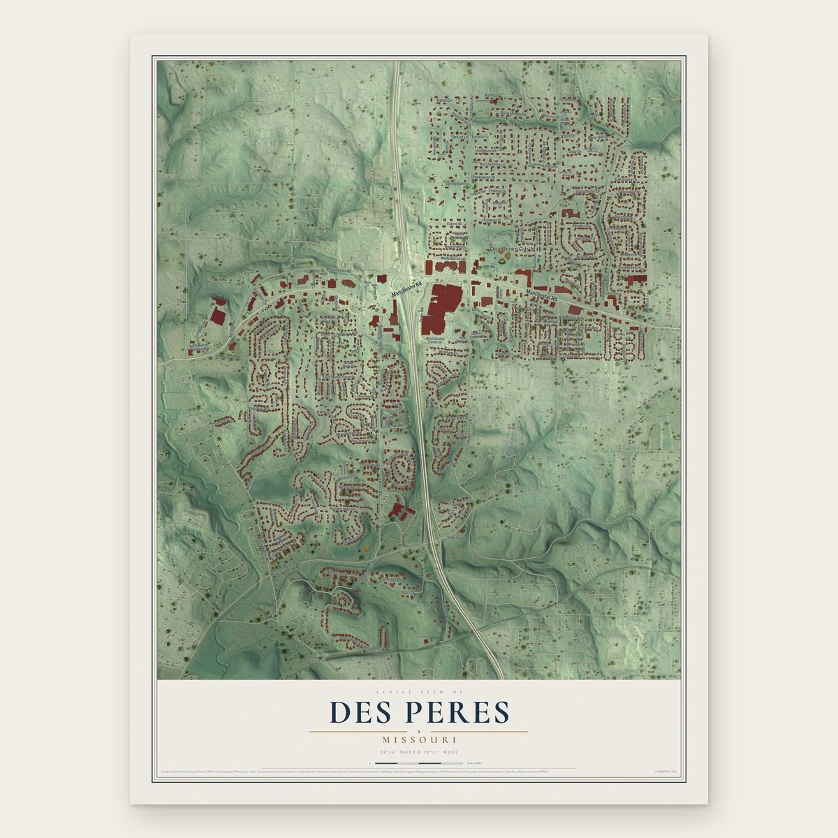
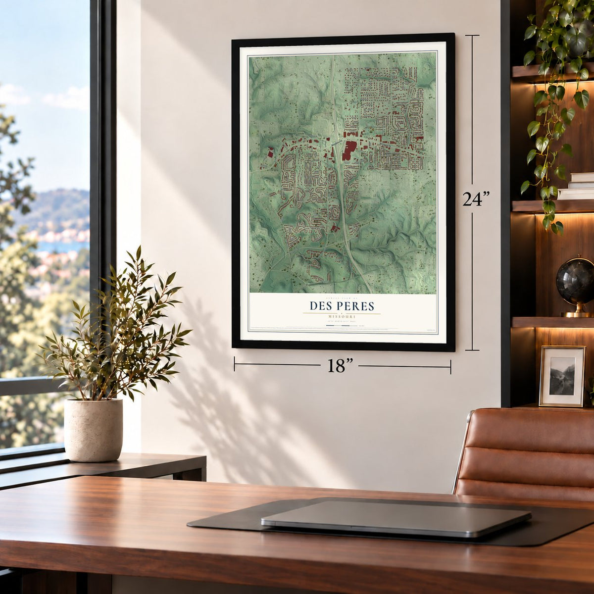
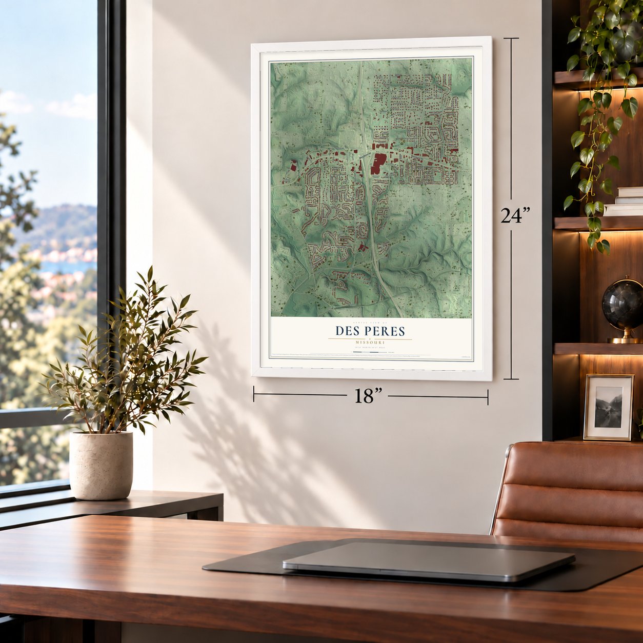
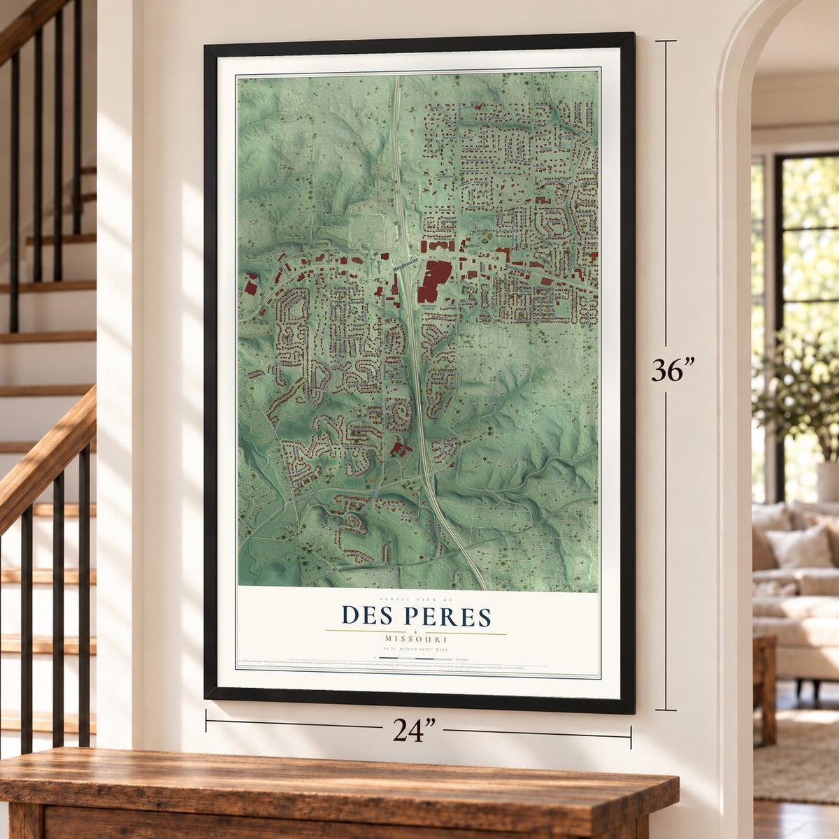
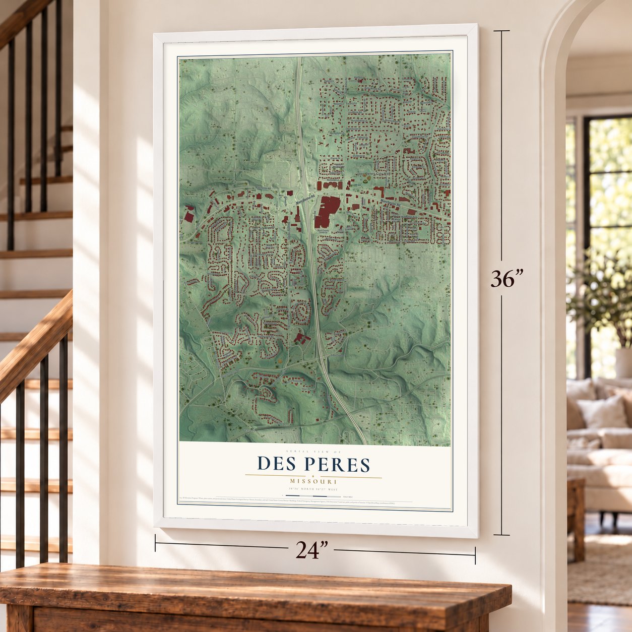
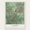
Des Peres, Missouri Map Art
Building by building, with labeled streets and shaded relief.
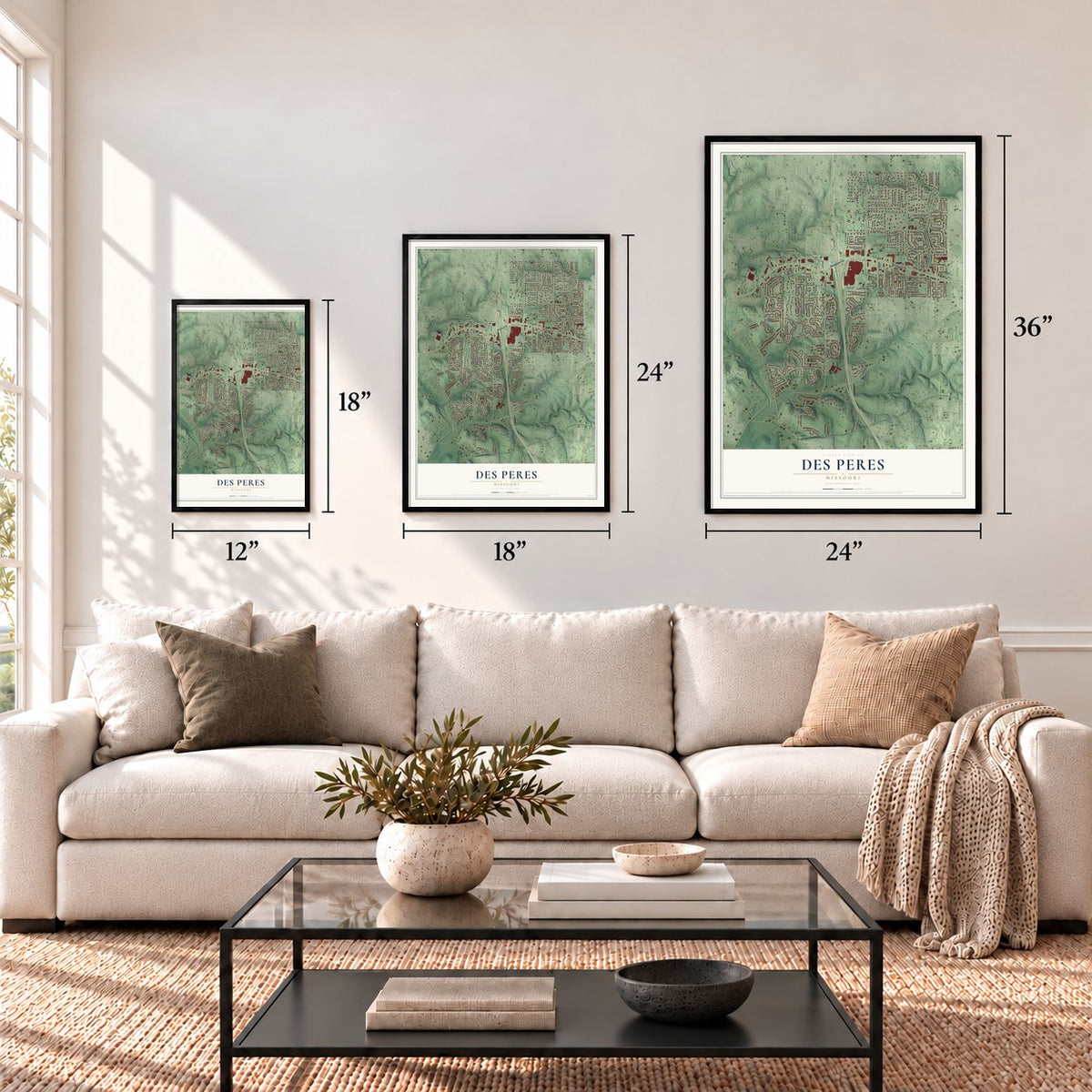
12" x 18" Archival Matte Print
A Map of Home. A Work of Art.
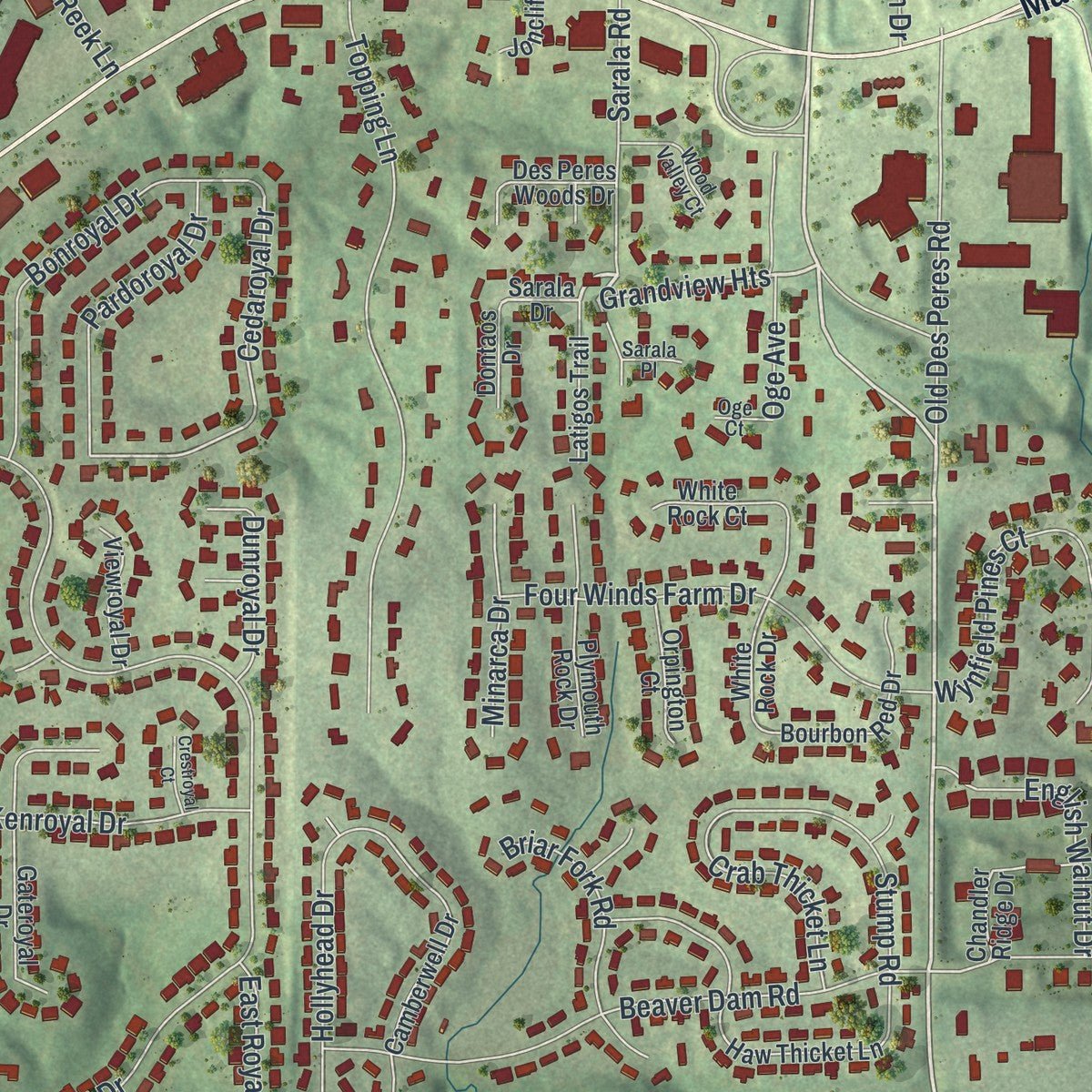
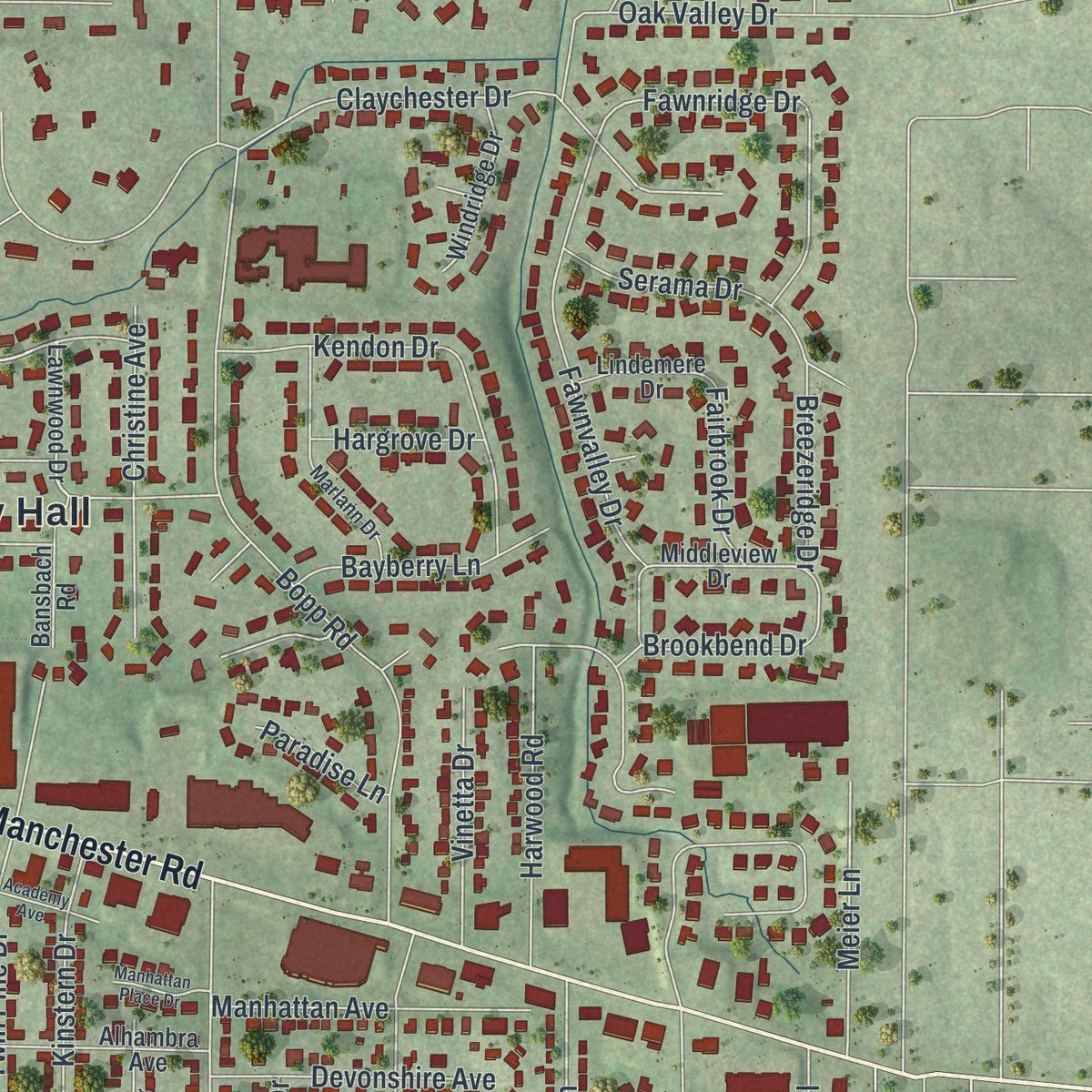
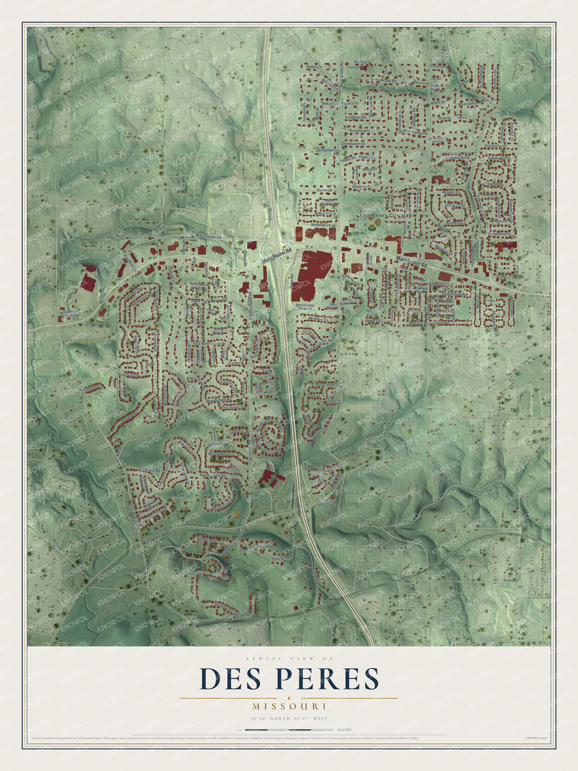
Explore Des Peres, Missouri from a whole new perspective. Created using aerial imagery and detailed geographic data, this map captures Des Peres building by building, with labeled streets, familiar landmarks, and shaded topographical relief that highlights the natural contours of the landscape.
Combining modern data with the timeless character of a vintage atlas, this map is just as interesting up close as it is beautiful on the wall. Whether you grew up in Des Peres, spent memorable years there, or call it home today, this unique map is a great way to celebrate a place that means something to you. Zoom in on the preview to look for your street, and then order a print to put your memories on the wall.
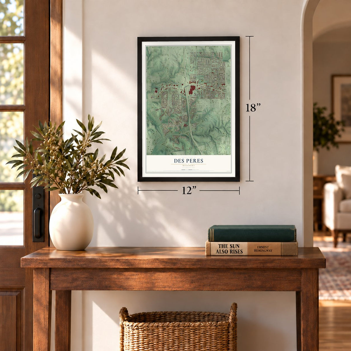
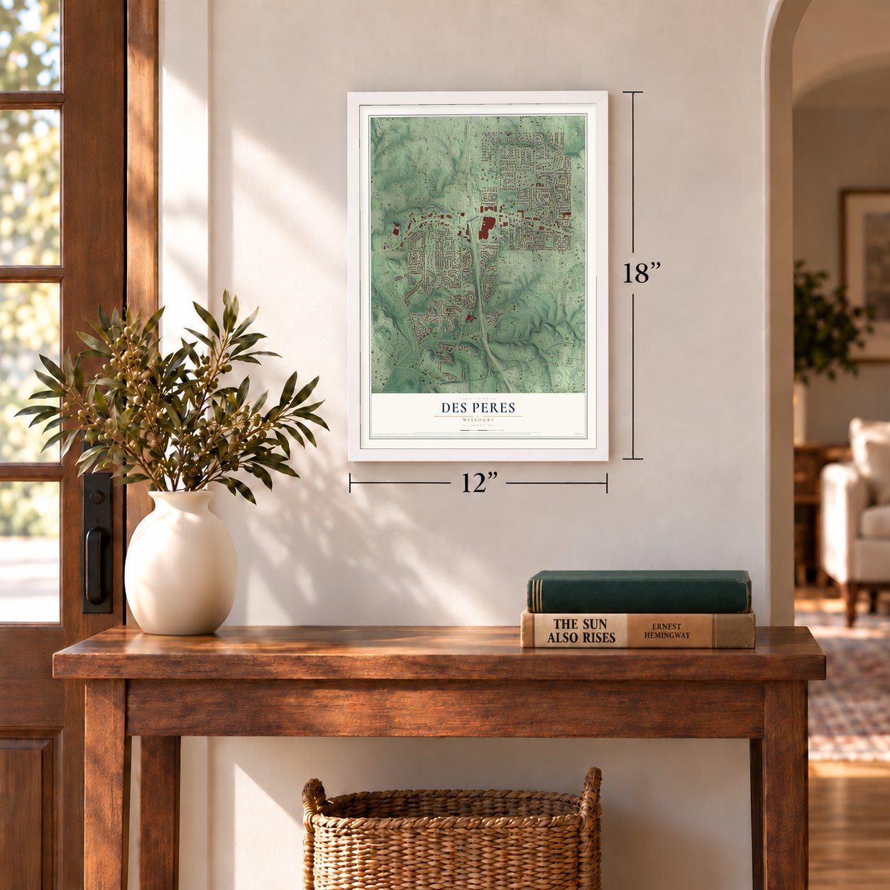
Three ways to hang it
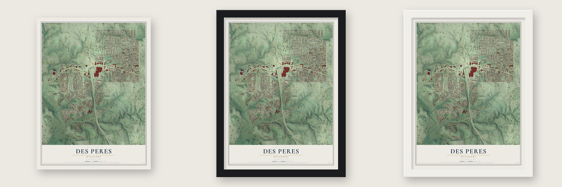
Unframed archival matte, a black wood frame or a white wood frame.
Up close
Geography Worth Displaying
This map was created using accurate cartographic data and authoritative geographic sources, including the U.S. Geological Survey and the Census Bureau. The map brings together terrain, waterways, roads, and building detail. The majority of the streets are labeled, houses are accurately depicted, and the topography is derived from government sources. Combining local data with carefully composed color and shading leads to this beautifully detailed Des Peres artwork for your wall.
Rather than simply showing street outlines, we’ve included as many of the street names as we could reasonably fit on the map while keeping their names legible. Zoom in on the high resolution preview to see exactly what’s on the map. We truly set out to create a statement piece for anyone who loves Des Peres. So whether it’s for you, or a gift for someone you love, we hope this map of Des Peres brings back fond memories.
Read the story behind this map of Des Peres, Missouri from 2026.
Find your street
Names on the Des Peres map
Every name below is printed on this map. Look for your street, your school, the park where you played, or the pond down the road.
Places and landmarks3
- Des Peres City Hall
- Des Peres Park
- Barretts
Streets and roads189
- Manchester Road
- Des Peres Road
- Barrett Station Road
- Old Dougherty Ferry Road
- Grandview Heights
- Cedaroyal Drive
- Oak Drive
- Highland Avenue
- Twin Pine Drive
- Ballas View Drive
- Fawnridge Drive
- North Ballas Road
- Dougherty Ferry Road
- Bopp Road
- Greenbriar Estates Drive
- Fawnvalley Drive
- Fairoyal Drive
- Claychester Drive
- Mo 100
- Topping Lane
- Lockett Road
- Wyndham Crossing Circle
- Wyndham Crossings Circle
- Sams Drive
- Huntercreek Road
- Beaver Dam Road
- Point Oak Road
- Dunmorr Drive
- Outer Road
- Firethorn Drive
Show all 189 streets
- Creekhaven Drive
- Grupp Road
- Bent Brook Road
- Centeroyal Drive
- Breezeridge Drive
- Four Winds Farm Drive
- Ironstone Road
- Kendon Drive
- Bonroyal Drive
- Wynfield Pines Court
- Westledge Court
- Gray Drive
- Stump Road
- Lindemann Road
- Old Des Peres Road
- Whitehorse Lane
- Ridgefield Drive
- Balwyck Lane
- Ballas Trails Drive
- Kenroyal Drive
- Sarala Road
- Tallie Drive
- Barrett Meadows Drive
- Blase Avenue
- Candlewick Drive
- Serama Drive
- Christine Avenue
- Pardoroyal Drive
- Harwood Road
- Manhattan Avenue
- Kinstern Drive
- Westledge Lane
- Springdale Lane
- Greenbriar Ridge Drive
- Goodson Road
- Borcherding Lane
- Nana Lane
- English Walnut Drive
- Briar Fork Road
- Lillian Avenue
- Willow Leaf Drive
- Montour Drive
- Harflo Lane
- Hollyhead Drive
- Devonshire Avenue
- Meier Lane
- Lochhaas Road
- Nicholas Lane
- Bayberry Lane
- Oge Avenue
- Winslow Lane
- Federal Drive
- Brookbend Drive
- Roth Drive
- Vinetta Drive
- Bellerosa Drive
- Ranch Lane
- Elaine Drive
- Belle Meade Road
- Oak Valley Drive
- Camberly Road
- East Royal Court
- Haversham Place
- Shari Drive
- Minarca Drive
- Point Oak Drive
- Folkstone Drive
- Dunroyal Drive
- Windemere Drive
- Crab Thicket Lane
- Fairbrook Drive
- Ridgetree Lane
- Apple Hill Lane
- Pine Hill Drive
- Trailcrest
- Hargrove Drive
- Rekart Lane
- Andre Drive
- Sateen Drive
- Paradise Lane
- Van Reek Lane
- Trearcy Lane
- Roger Lane
- Sarala Drive
- Lawnwood Drive
- West County Center Drive
- Winding Trail Lane
- Haw Thicket Lane
- Tree Top Lane
- Gateroyal Drive
- Camberwell Drive
- Bansbach Road
- Diamond Ridge Lane
- Federal Road
- Bourbon Red Drive
- Plymouth Rock Drive
- North Barrett Parkway Drive
- Ballas Meadows Drive
- White Rock Drive
- Topping Road
- Armat Court
- Berkley Manor Drive
- Alhambra Avenue
- Wendover Lane
- Dougherty Ridge Court
- Windridge Drive
- Ballas Park Drive
- Barrett Heights Drive
- Amherst Drive
- Grant Place
- Hickory Ridge Court
- Chandler Ridge Drive
- Sugar Creek Road
- Latigos Trail
- Middleview Drive
- Viewroyal Drive
- Des Peres Woods Drive
- Ballas Pond Drive
- Doubletree Lane
- Wedgeton Lane
- Orpington Court
- Lindemere Drive
- Westwind Drive
- Drexel Hill Court
- Colonnade Center
- White Rock Court
- Kirk Place Drive
- Ballas Estates Drive
- Barrett Woods Drive
- Jonclif Drive
- Dontaos Drive
- Briarbrook Trail
- Chaltenham Drive
- Marlann Drive
- Huntercreek Ridge Court
- Tricorn Lane
- Eckelmann Lane
- Des Peres Drive
- Wood Valley Court
- Devereaux Drive
- Clear Brook Drive
- Kassie View Court
- Longrove Lane
- Morris Place Drive
- Movie Drive
- Meaux Mart Lane
- Sarala Place
- Oge Court
- Pingry Place
- Sunny Terrace Drive
- Bent Springs Drive
- Drexel Hill Drive
- Academy Avenue
- Ashdown Forest Court
- Manhattan Place Drive
- Crestroyal Court
- Anduin Court
- Pinecrest Manor Lane
- Sweet Drive
Names are listed as they appear on the printed map. Zoom into the product photos to find them.
About Des Peres, Missouri
From the History of Saint Louis City and County: "Des Peres Presbyterian Church was organized in the latter part of March, 1833, by Rev. William S. Potts and Dr. Ingraham, in the dwelling-house of Rev. Mr. Granville (Methodist), which was rented for the occasion."
Keep exploring Missouri
Des Peres is one of 1,207 Missouri towns we've mapped. Every dot on the map is a print of its own.
The search covers every state, Missouri first.
Near Des Peres
Order 2 or more town maps and save 10%. Shown in the size and finish you picked above, so they hang as a set.
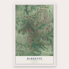
- Barretts 12" x 18" / Archival Matte Print $39.99
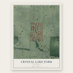
- Crystal Lake Park 12" x 18" / Archival Matte Print $39.99
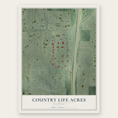
- Country Life Acres 12" x 18" / Archival Matte Print $39.99
More maps nearby: Kirkwood, Huntleigh, Frontenac, Town and Country and Warson Woods.
The art of mapping a place
How This Map Was Made
Real places. Remarkable detail. Discover the layers that turn geographic data into a map of home.

The view from above
Aerial imagery reveals the character of the land: woodland, open fields, and the patterns of a place.

The shape of the land
Elevation data brings hills, valleys, and subtle changes in the landscape into view.

The details of home
Roads, waterways, and building footprints come together to make the map feel unmistakably local.

Geography becomes art
Considered color, shading, and typography bring the layers together in a map made for your wall.


Process illustrated with Mendon, Massachusetts. Aerial imagery: USDA NAIP. Terrain: USGS 3D Elevation Program. Map details and finished artwork: KNOWOL.
The Details
About This Print
Choose an archival matte print, or a black or white Ayous wood frame. The archival matte print is unframed.
Select your size and finish above to see the matching product image and price.
Materials & Craftsmanship
A contemporary map with the character of a classic atlas, printed on archival matte paper. Optional frames are made from Ayous wood.
Your printed map does not include the watermark shown in the full-map preview.
Shipping & Delivery
Free shipping within the United States. Every print is made to order in the USA.
Buying a gift? Add a note in your cart and we'll include it. We never put prices in the package.
Prints ship within 2 to 3 business days. Allow 7 to 10 days total from ordering for delivery. Timing may vary during holidays or periods of high order volume.
Read our shipping policy.
Returns and damaged prints
Each print is made to order. Change-of-mind refunds are not available after production.
If your print arrives damaged, misprinted or incorrect, contact support@knowol.com within 30 days of receiving it. Include your order number, photos and a description of the issue.
Read our full refund and replacement policy. For questions about your order, email support@knowol.com.