
Search for another town

Free U.S. delivery 7 to 10 days after you order
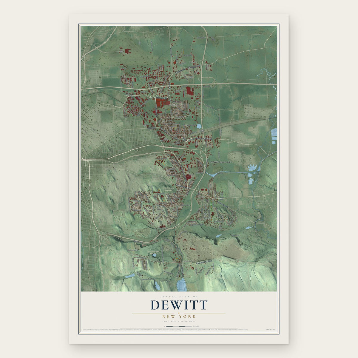
DeWitt, New York Map Art
Building by building, with labeled streets and shaded relief.
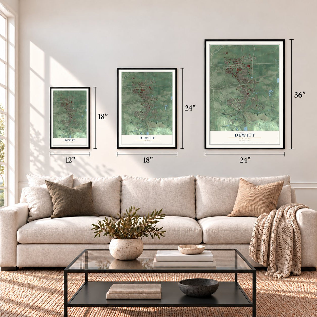
12" x 18" Archival Matte Print
A Map of Home. A Work of Art.
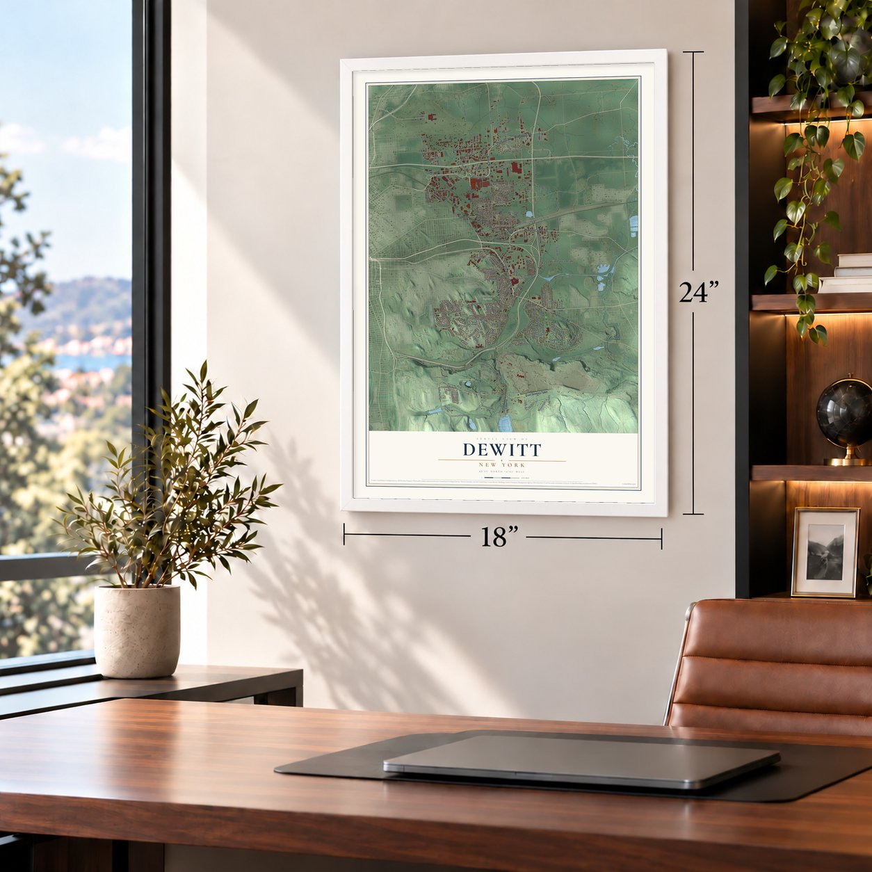
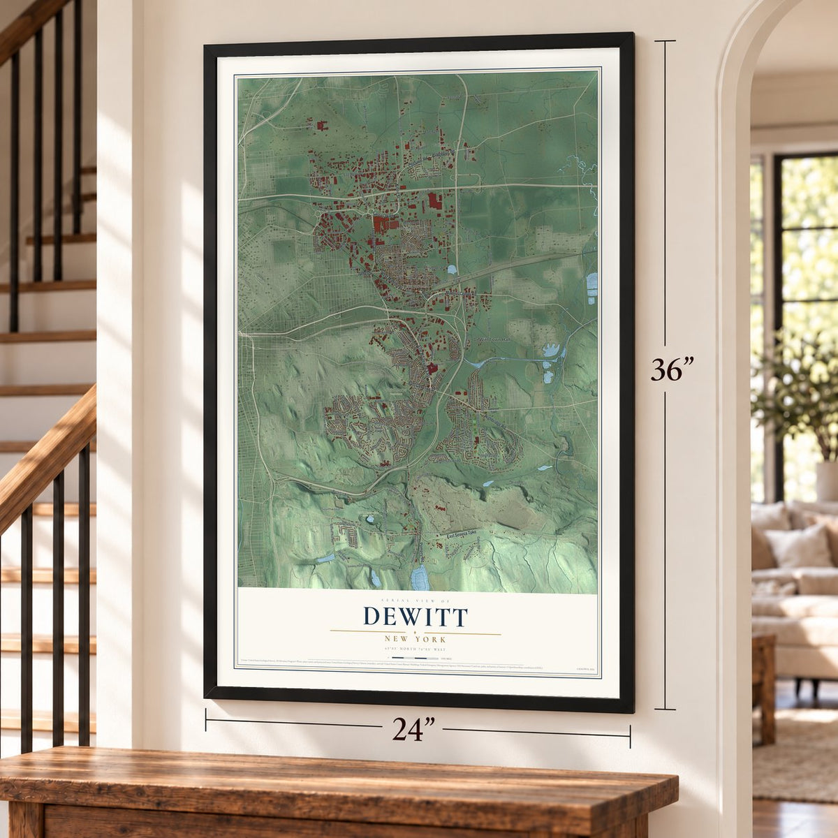
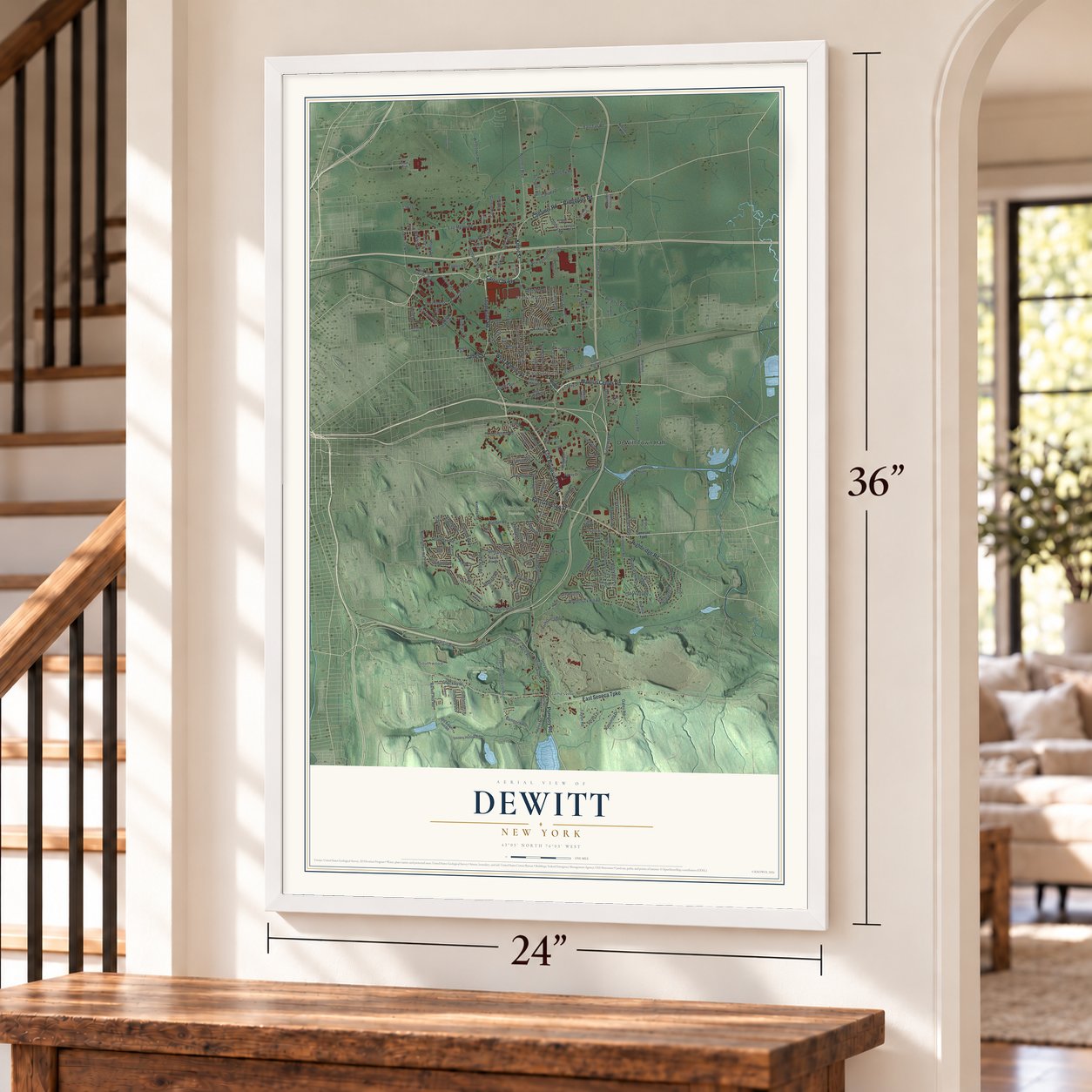
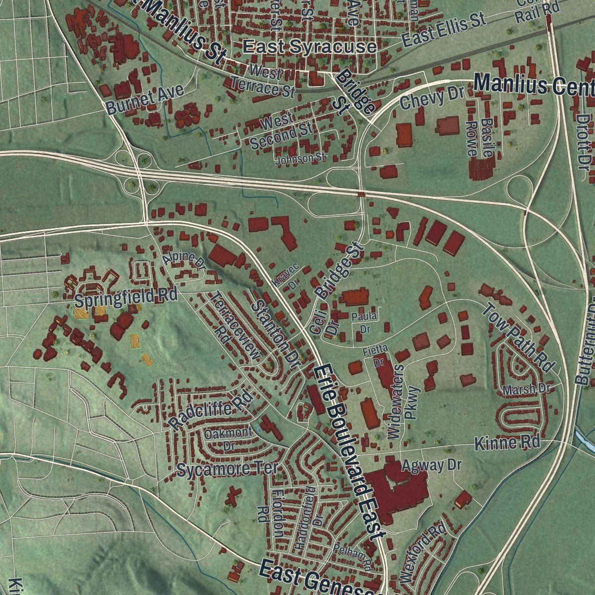
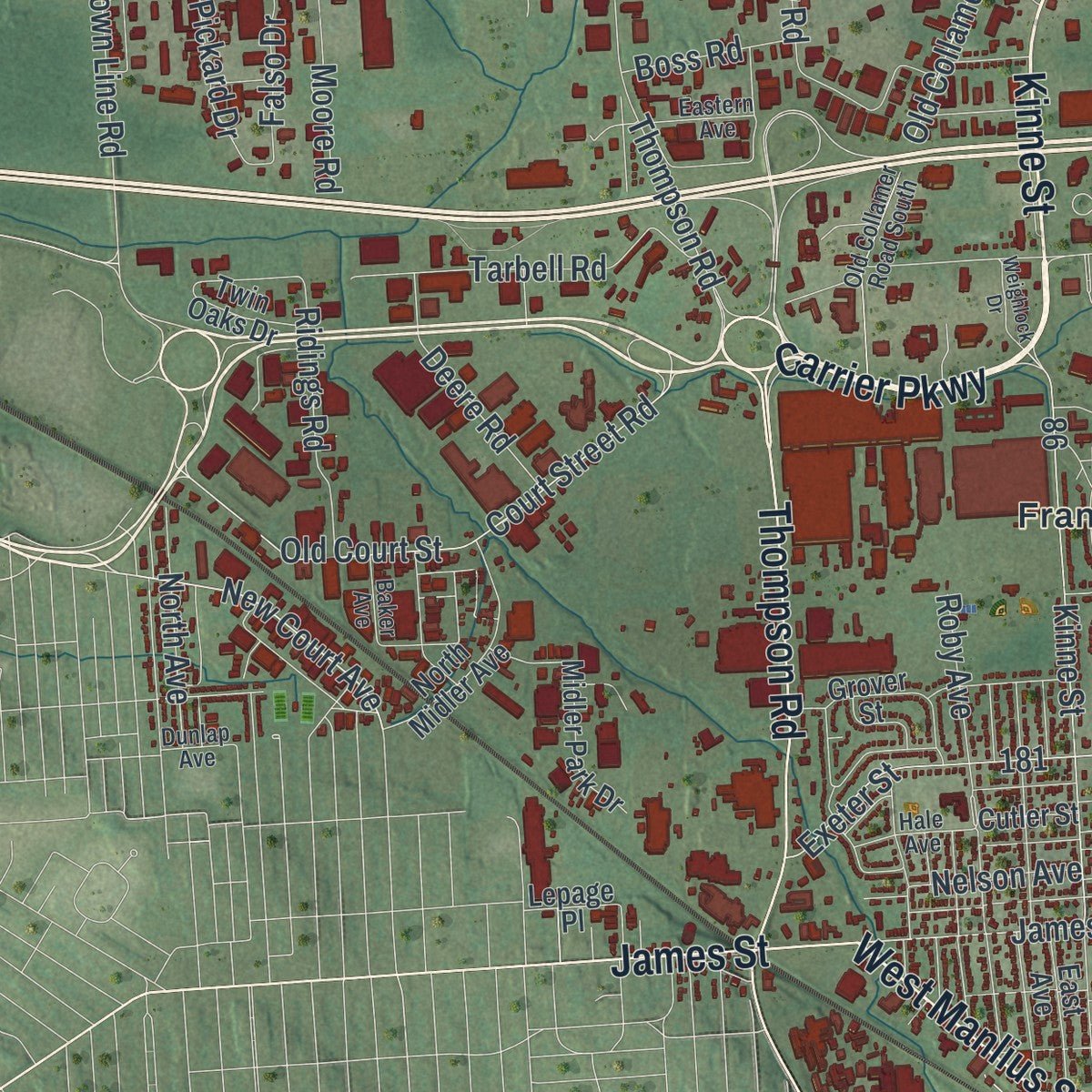
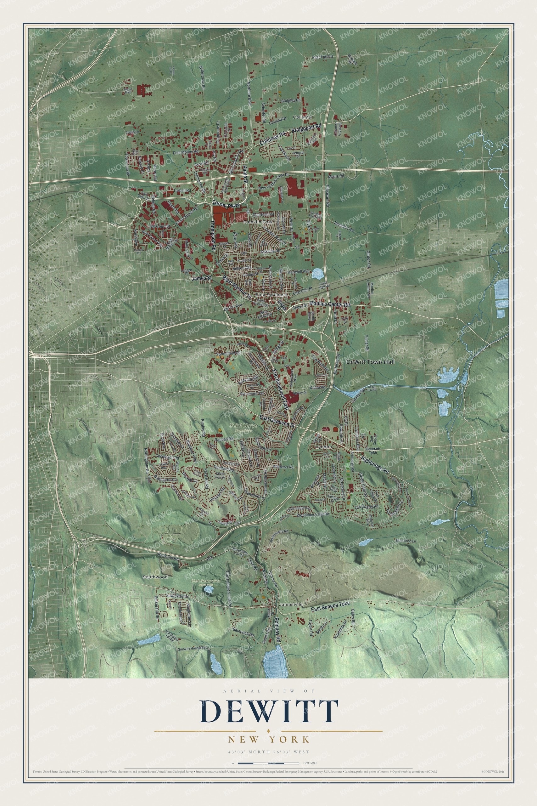
Explore DeWitt, New York from a whole new perspective. Created using aerial imagery and detailed geographic data, this map captures DeWitt building by building, with labeled streets, familiar landmarks, and shaded topographical relief that highlights the natural contours of the landscape.
Combining modern data with the timeless character of a vintage atlas, this map is just as interesting up close as it is beautiful on the wall. Whether you grew up in DeWitt, spent memorable years there, or call it home today, this unique map is a great way to celebrate a place that means something to you. Zoom in on the preview to look for your street, and then order a print to put your memories on the wall.
Three ways to hang it
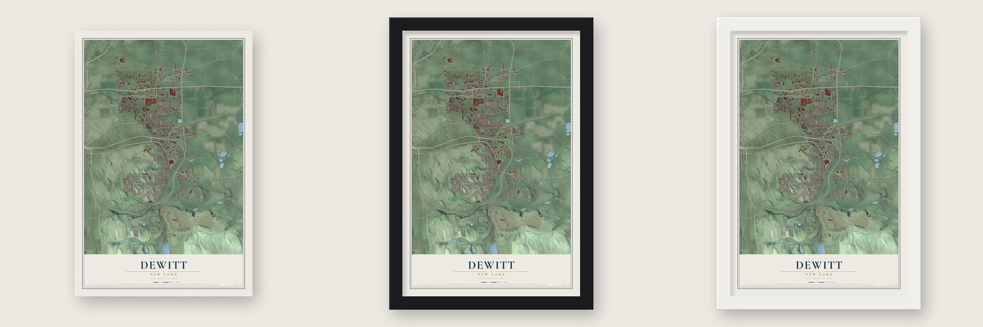
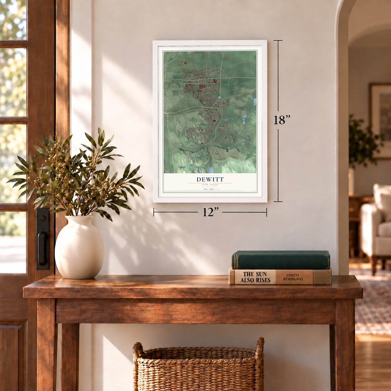
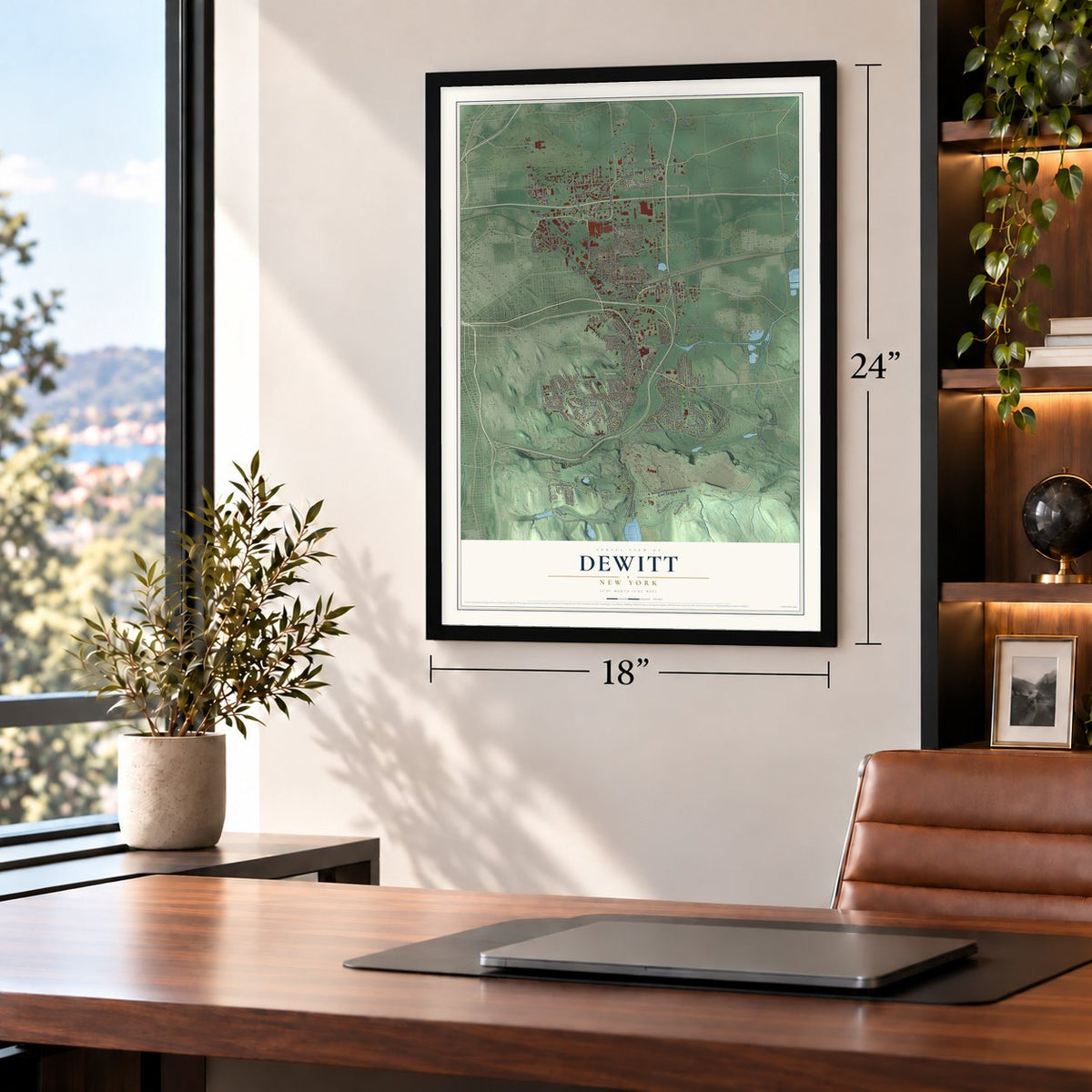
Unframed archival matte, a black wood frame or a white wood frame.
Up close
Geography Worth Displaying
This map was created using accurate cartographic data and authoritative geographic sources, including the U.S. Geological Survey (USGS) and FEMA. The map brings together terrain, waterways, roads, and building detail. The majority of the streets are labeled, houses are accurately depicted, and the topography is derived from government sources. Combining local data with carefully composed color and shading leads to this beautifully detailed DeWitt artwork for your wall.
Rather than simply showing street outlines, we’ve included as many of the street names as we could reasonably fit on the map while keeping their names legible. Zoom in on the high resolution preview to see exactly what’s on the map. We truly set out to create a statement piece for anyone who loves DeWitt. So whether it’s for you, or a gift for someone you love, we hope this map of DeWitt brings back fond memories.
Explore the full map of DeWitt, New York and read about the local places it shows.
Find your street
Names on the DeWitt map
Every name below is printed on this map. Look for your street, your school, the park where you played, or the pond down the road.
Places and landmarks9
- DeWitt Town Hall
- Jamesville
- Collamer
- Clark Reservation State Park
- Saint Marys Cemetery
- East Syracuse
- Franklin Park
- Lyndon
- Southwood
Streets and roads210
- Collamer Road
- Manlius Center Road
- Carrier Parkway
- Kinne Street
- West Manlius Street
- Erie Boulevard East
- East Genesee Street
- East Seneca Turnpike
- Thompson Road
- Bridgeport Road
- Highbridge Road
- Pompey Road
- James Street
- Bridge Street
- Hartwell Avenue
- East Taft Road
- Solvay Road
- New Court Avenue
- Kirkville Road
- Rock Cut Road
- Northern Boulevard
- Jamesville Road
- East Ellis Street
- Fly Road
- Woodchuck Hill Road
- Nottingham Road
- Butternut Drive
- East Molloy Road
- Schuyler Road
- Court Street Road
Show all 210 streets
- Peck Hill Road
- Tow Path Road
- Kinne Road
- Maple Drive
- Barker Hill Road
- Old Court Street
- Transmission Line Road
- Randall Road
- Lyndon Road
- Quintard Road
- Old Collamer Road
- New Venture Gear Drive
- Town Line Road
- Fisher Road
- Myers Road
- Bamerick Road
- Franklin Park Drive
- Tecumseh Road
- North Street
- Bay Hill Circle
- Pheasant Road
- Roby Avenue
- Tarbell Road
- Bradford Parkway
- Singletree Lane
- Bridle Path Road
- Benedict Road
- Chevy Drive
- Exeter Street
- Mc Cool Avenue
- Lynacres Boulevard
- Loucks Road
- Gates Road
- Apulia Road
- Badgley Road
- Sycamore Terrace
- Brockway Lane
- Ely Drive
- Joy Road
- Springfield Road
- Girdon Road
- Old Quarry Road
- Tulipwood Lane
- Ridings Road
- Edwards Drive
- Stanton Drive
- Sewickley Drive
- Deere Road
- Cooper Lane
- Coronation Circle
- Buffington Road
- Corporate Drive
- Standish Drive
- North Avenue
- Taylor Road
- Ogle Road
- Andrews Road
- Burnet Avenue
- Kassonta Drive
- Moore Road
- Leverett Lane
- Kimber Road
- Watertown Road
- Pickard Drive
- Radcliffe Road
- Deerfield Road
- Wells Drive
- Carson Drive
- Canada Drive
- Falso Drive
- Firtree Lane
- Boss Road
- Drott Drive
- Nelson Avenue
- Rossiter Road
- Saybrook Lane
- Serah Lane
- Scott Avenue
- North Center Street
- Bridlepath Road
- Jamesville Toll Road
- Rock Quarry Road
- Tilden Drive
- Widewaters Parkway
- South Street
- Grover Street
- Edinger Drive
- Corporate Circle
- West Second Street
- Midler Park Drive
- North Midler Avenue
- Winterton Drive
- West Terrace Street
- Twin Oaks Drive
- Agway Drive
- Smokey Hollow Road
- Steinway Drive
- Pine Valley Drive
- Cedar Heights Drive
- Thunderhead Lane
- Chrysler Lane
- Waring Road
- Manlius Townline Road
- Silver Street
- Old Barker Hill Road
- East Avenue
- Drumlins Terrace
- Easterly Terrace
- Briarwood Lane
- Basile Rowe
- Golf Club Drive
- Terraceview Road
- Shalimar Way
- Wexford Road
- Cottage Drive
- Fiordon Road
- Temple Drive
- Collamer Crossing
- Conn Rail Road
- Silver Fox Drive
- Danbury Drive
- Dewey Avenue
- Bastable Road
- Cobra Lane
- Cutler Street
- Lewis Avenue
- Lepage Place
- Pyle Drive
- Burke Lane
- Celi Drive
- Genesee Turnpike
- Wembridge Drive
- Haddonfield Drive
- Airport Boulevard
- Brittonfield Parkway
- Thorntree Hill Drive
- Cross Road
- Old Collamer Road South
- Marsh Drive
- Terese Terrace
- Dausman Street
- Alpine Drive
- Turnwood Drive
- Ambergate Road
- Westcliffe Road
- Eastern Avenue
- Roberts Street
- Dutch Hill Road
- Hale Avenue
- Benedict Road West
- Arones Drive
- Law Drive
- Oakmont Drive
- Cedar Bay Road
- Waterloo Road
- Baker Avenue
- Lyons Street
- Julian Place
- Ellicot Drive
- Dunlap Avenue
- Vip Parkway
- Yellow Wood Parkway
- Pointe East Drive
- Frederick Street
- Worthington Way
- Hamlet Crst
- Fietta Drive
- Greentree Drive
- Bovington Lane
- Derringer Drive
- Pelham Road
- Cornwall Drive
- Marmot Circle
- Weighlock Drive
- Johnson Street
- Presque Isle Road
- Links Road
- Kravec Drive
- Cricket Lane
- Paula Drive
Names are listed as they appear on the printed map. Zoom into the product photos to find them.
About DeWitt, New York
DeWitt is a town of 26,074 people in Onondaga County, on the eastern edge of Syracuse. Its land was once part of the Central New York Military Tract, and the first settlers came around 1789. The original Erie Canal was dug through the area in 1825, which tied these farms to the rest of the state by water.
In 1835 DeWitt was split off from the Town of Manlius and became a town of its own. It took the name of Moses DeWitt, who was among the earliest settlers of the county and served both as a major in the militia and as a county judge.
- Youngsville, then OrvilleThe hamlet of DeWitt, near the middle of town on Route 5, went by the names Youngsville and Orville before it carried the town's name. Collamer, in the northeast on Route 298, was once known as Brittons Settlement.
- Erie Canal Day since 1968A stretch of the old Erie Canal known as the Long Level runs across DeWitt, and Old Erie Canal State Historic Park starts close to the town offices and follows the waterway all the way to Rome. The town has held Erie Canal Day at Cedar Bay Park every year since 1968, with games, music, entertainment and refreshments.
- Home of Le Moyne CollegeMost of Le Moyne College's campus lies in DeWitt, and every one of the college's academic buildings stands inside the town.
Keep exploring New York
DeWitt is one of 2,165 New York towns we've mapped. Every dot on the map is a print of its own.
The search covers every state, New York first.
Near DeWitt
Order 2 or more town maps and save 10%. Shown in the size and finish you picked above, so they hang as a set.
- East Syracuse 12" x 18" / Archival Matte Print $39.99
- Salt Springs 12" x 18" / Archival Matte Print $39.99
- Meadowbrook 12" x 18" / Archival Matte Print $39.99

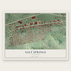
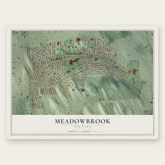
More maps nearby: Eastwood, De Witt, Near Eastside, Westcott and University Neighborhood.
The art of mapping a place
How This Map Was Made
Real places. Remarkable detail. Discover the layers that turn geographic data into a map of home.

The view from above
Aerial imagery reveals the character of the land: woodland, open fields, and the patterns of a place.

The shape of the land
Elevation data brings hills, valleys, and subtle changes in the landscape into view.

The details of home
Roads, waterways, and building footprints come together to make the map feel unmistakably local.

Geography becomes art
Considered color, shading, and typography bring the layers together in a map made for your wall.


Process illustrated with Mendon, Massachusetts. Aerial imagery: USDA NAIP. Terrain: USGS 3D Elevation Program. Map details and finished artwork: KNOWOL.
The Details
About This Print
Choose an archival matte print, or a black or white Ayous wood frame. The archival matte print is unframed.
Select your size and finish above to see the matching product image and price.
Materials & Craftsmanship
A contemporary map with the character of a classic atlas, printed on archival matte paper. Optional frames are made from Ayous wood.
Your printed map does not include the watermark shown in the full-map preview.
Shipping & Delivery
Free shipping within the United States. Every print is made to order in the USA.
Buying a gift? Add a note in your cart and we'll include it. We never put prices in the package.
Prints ship within 2 to 3 business days. Allow 7 to 10 days total from ordering for delivery. Timing may vary during holidays or periods of high order volume.
Read our shipping policy.
Returns and damaged prints
Each print is made to order. Change-of-mind refunds are not available after production.
If your print arrives damaged, misprinted or incorrect, contact support@knowol.com within 30 days of receiving it. Include your order number, photos and a description of the issue.
Read our full refund and replacement policy. For questions about your order, email support@knowol.com.