
Search for another town
Free U.S. delivery 7 to 10 days after you order
Dickinson, Texas Map Art
Building by building, with labeled streets and shaded relief.
12" x 18" Archival Matte Print
A Map of Home. A Work of Art.
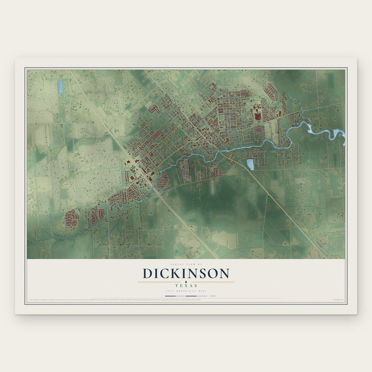
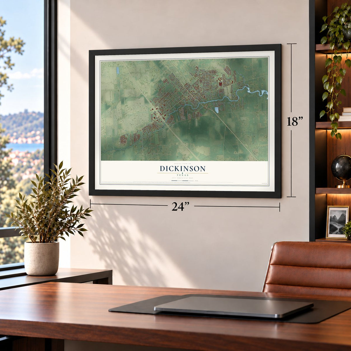
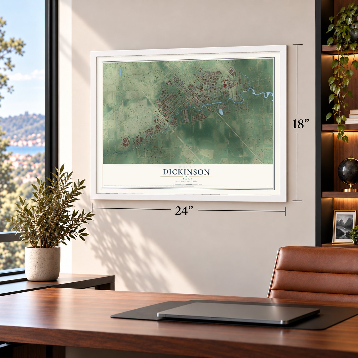
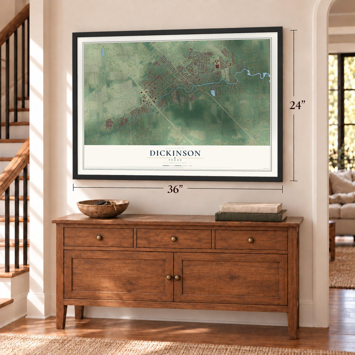
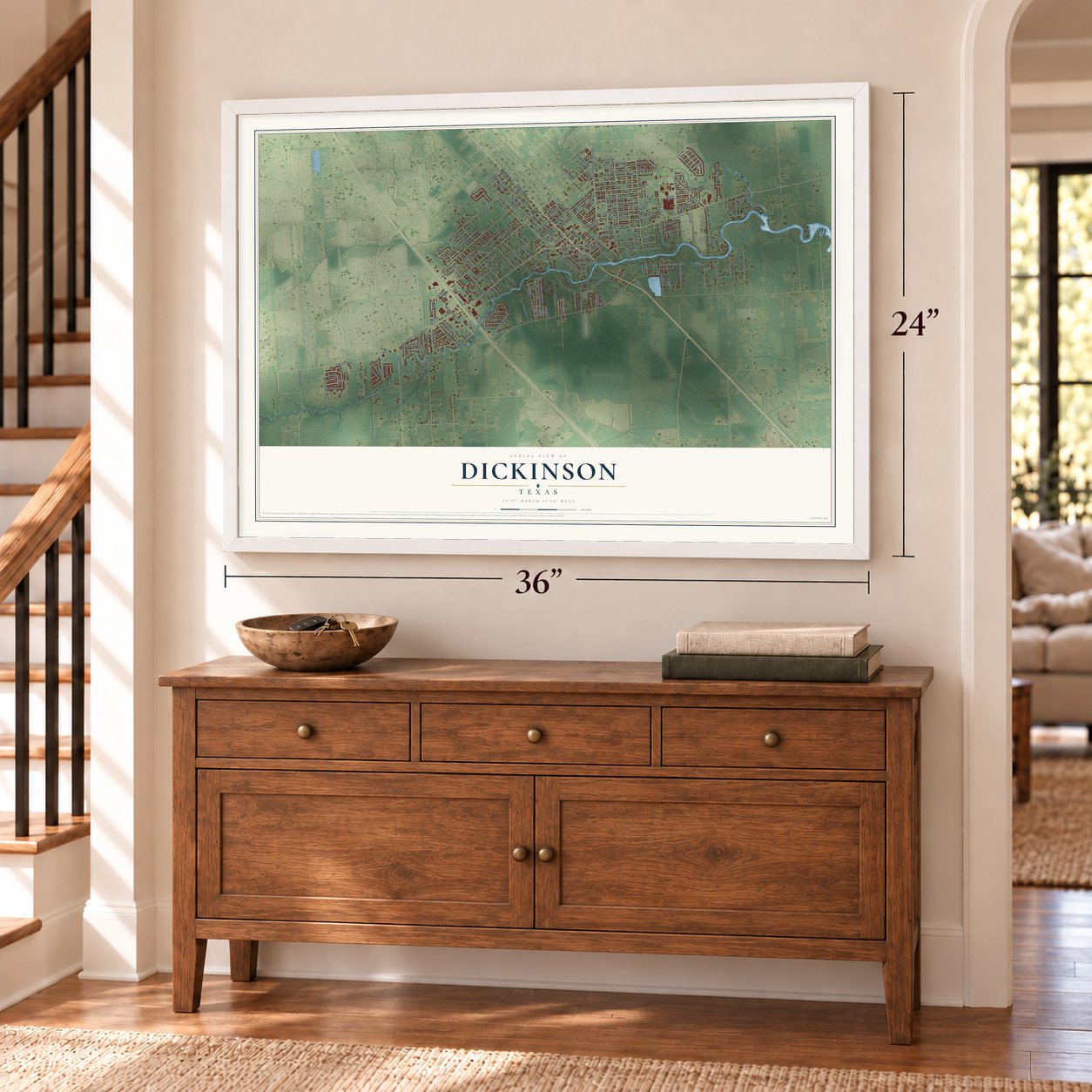
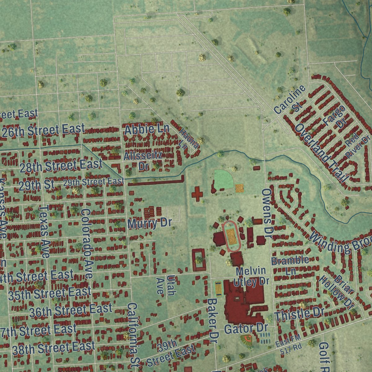
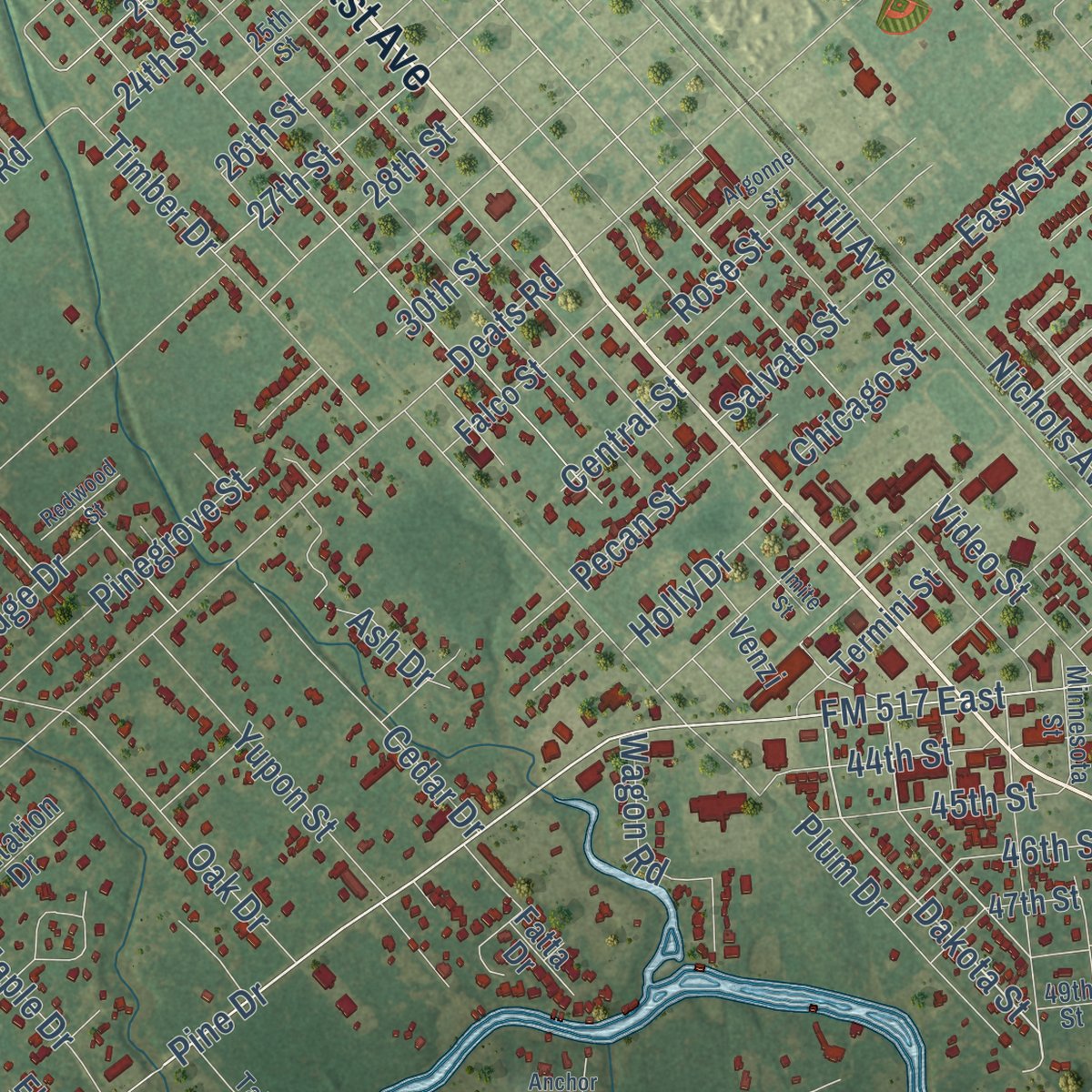
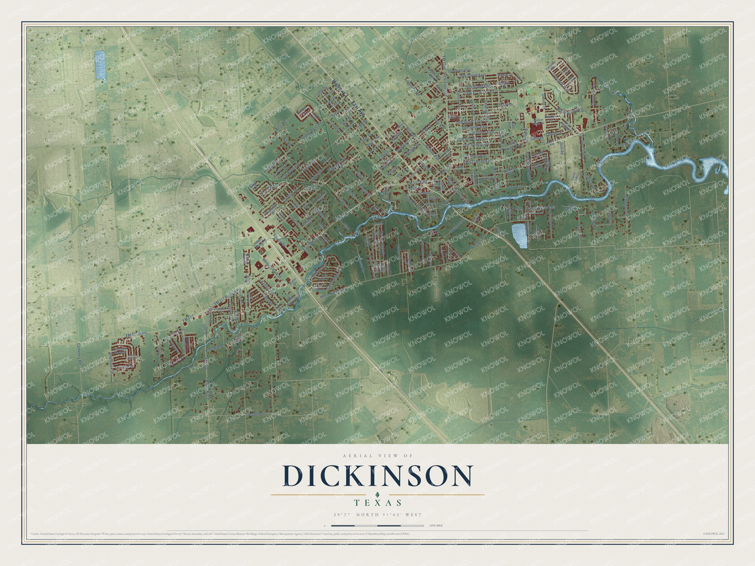
Explore Dickinson, Texas from a whole new perspective. Created using aerial imagery and detailed geographic data, this map captures Dickinson building by building, with labeled streets, familiar landmarks, and shaded topographical relief that highlights the natural contours of the landscape.
Combining modern data with the timeless character of a vintage atlas, this map is just as interesting up close as it is beautiful on the wall. Whether you grew up in Dickinson, spent memorable years there, or call it home today, this unique map is a great way to celebrate a place that means something to you. Zoom in on the preview to look for your street, and then order a print to put your memories on the wall.
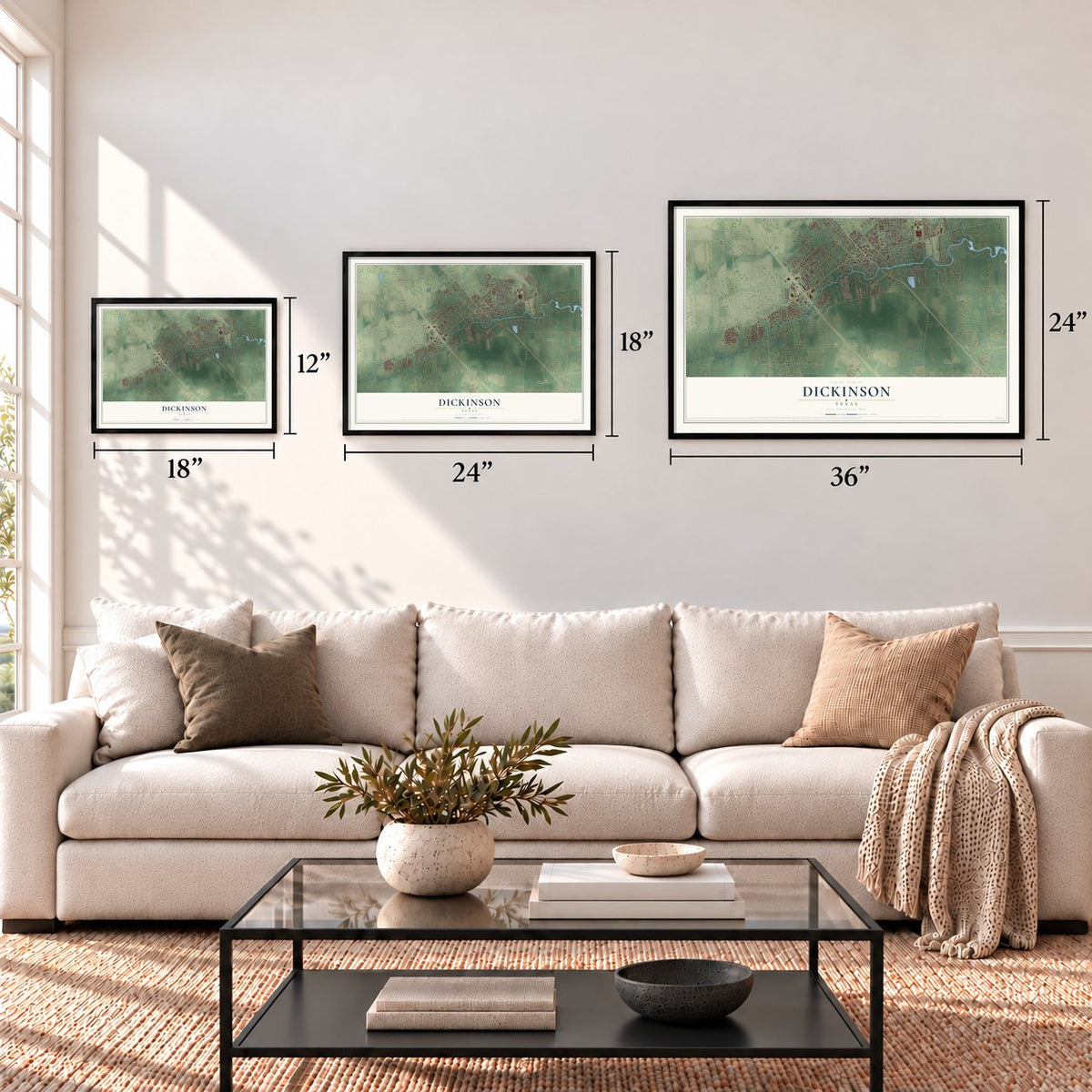
Three ways to hang it
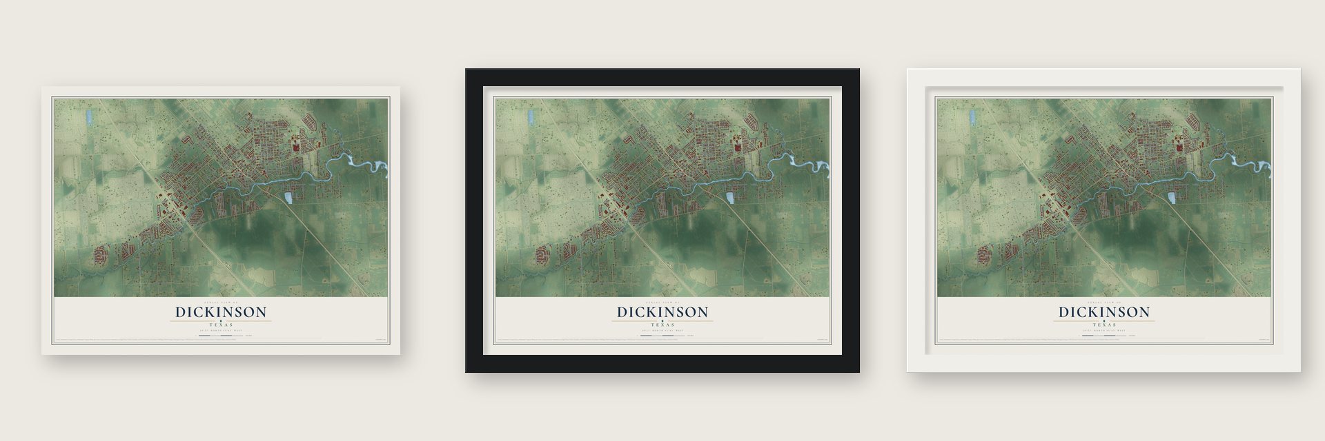
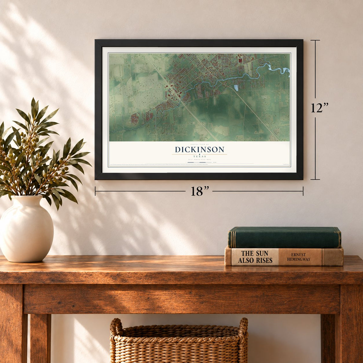
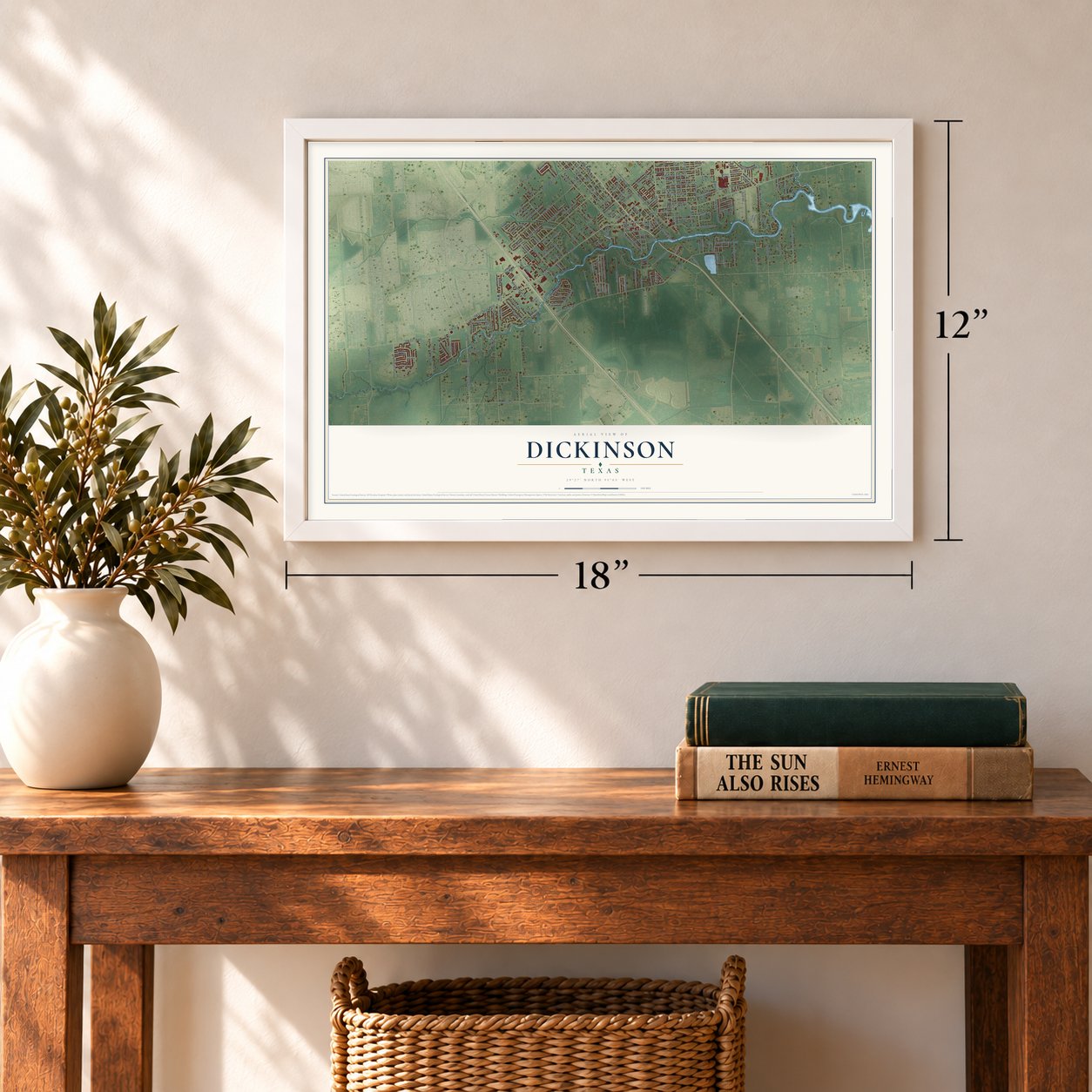
Unframed archival matte, a black wood frame or a white wood frame.
Up close
Geography Worth Displaying
This map was created using accurate cartographic data and authoritative geographic sources, including the U.S. Geological Survey and the Census Bureau. The map brings together terrain, waterways, roads, and building detail. The majority of the streets are labeled, houses are accurately depicted, and the topography is derived from government sources. Combining local data with carefully composed color and shading leads to this beautifully detailed Dickinson artwork for your wall.
Rather than simply showing street outlines, we’ve included as many of the street names as we could reasonably fit on the map while keeping their names legible. Zoom in on the high resolution preview to see exactly what’s on the map. We truly set out to create a statement piece for anyone who loves Dickinson. So whether it’s for you, or a gift for someone you love, we hope this map of Dickinson brings back fond memories.
Read the story behind this map of Dickinson, Texas from 2026.
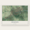
Find your street
Names on the Dickinson map
Every name below is printed on this map. Look for your street, your school, the park where you played, or the pond down the road.
Streets and roads217
- East Avenue
- Highway 3
- FM 517
- FM 517 Road East
- Dakota Street
- Pine Drive
- Shoreview Drive
- Kansas Avenue
- Timber Drive
- Ecret Drive
- 20th Street
- FM 517 East
- Hughes Road
- Deats Road
- FM 517 Road West
- FM 517 West
- East FM 517
- Texas Avenue
- California Street
- Second Street
- Dickinson Avenue
- FM 1266
- FM 646
- FM 646 North
- Nichols Avenue
- Oak Drive
- Sunset Drive
- Medical Park Drive
- Oleander Drive
- Colorado Avenue
Show all 217 streets
- Overland Trail
- 37th Street East
- 16th Street
- 34th Street East
- Winding Brook Drive
- Hill Avenue
- Owens Drive
- 29th Street
- Scenic Drive
- Country Club Drive
- Park Avenue
- 46th Street
- Old Bayou Drive
- Forest Cove Drive
- Lovers Lane
- Yupon Street
- Missouri Avenue
- Spruce Drive
- 44th Street
- Cemetery Road
- Hakey Lane
- 38th Street East
- Starboard Lane
- Green Isle Avenue
- 28th Street
- Bayou Drive East
- 35th Street East
- Rodeo Bend Road
- Desel Drive
- 45th Street
- Bess Road
- Harbor Light Drive
- Colonial Drive
- Pin Oak Drive
- 36th Street East
- Golf Road
- Camp Allen Street
- 26th Street East
- Pabst Road
- Pinegrove Street
- 28th Street East
- Rau Drive
- Cedar Drive
- Luhning Road
- 48th Street
- Baker Drive
- Maple Drive
- Lobit Drive
- Bayou Drive
- Plantation Bend Street
- Holly Drive
- Ohio Avenue
- Plum Drive
- Pine Oak Drive
- 27th Street
- Kellner Road
- Krueger Drive
- West Hughes Road
- Pecan Street
- Wagon Road
- Hansen Drive
- 24th Street
- 22nd Street
- Ash Drive
- Oak Hollow Drive
- Gum Drive
- Sycamore Drive
- Lininger Lane
- Video Street
- Parke Street
- Arkansas Avenue
- Thistle Drive
- Olde Oaks Drive
- Oakridge Drive
- Grand Boulevard
- Rose Street
- Conifer Drive
- Salvato Street
- Easy Street
- Gill Road
- Nebraska Street
- Palm Drive
- 26th Street
- 30th Street
- Chicago Street
- Gator Drive
- Central Street
- Murry Drive
- Abbie Lane
- Casa Lane
- Oak Lane
- Bentwood Drive
- Ponderosa Drive
- Galveston Avenue
- 39th Street East
- Frostwood Circle
- East Bayou Drive
- Longshadow Drive
- Winding Way
- Borden Gully Drive
- Casa Grande Street
- Calvert Lane
- West Bayou Drive
- 23rd Street
- Evergreen Drive
- Rosewood Drive
- 40th Street East
- 25th Street East
- Falco Street
- Crest Drive
- Forest Cove Court
- Serenity Drive
- 21st Street
- Oak Court
- Termini Street
- Coral Cliff Drive
- Shady Oak Lane
- Yacht Club Lane
- Pine Shadows Street
- Fatta Drive
- Humble Camp Road
- Briar Hollow Drive
- Wyoming Avenue
- Melvin Utley Drive
- 47th Street
- Caroline Street
- Johnson Street
- Live Oak Drive
- Yacht Club Drive
- Plantation Drive
- Victoria Avenue
- Cranston Grove Drive
- Saint Goar Street
- Fargo Drive
- Utah Avenue
- Bramble Lane
- Misty Cliff
- West Deats Road
- Manor Lane
- Venzi
- Sullivan Lane
- Benson Street
- Allsseitz Drive
- Mowat Drive
- Water Street
- Cove Lane
- Kings Court
- Elm Drive
- Ivy Lane
- Riverwood Drive
- 29th Street East
- 42nd Street East
- Minnesota Street
- Tanglebriar Drive
- Spring Gully Drive
- Reynaldo Street
- Legal Lane
- Casa Rio Circle
- Cedar Creek Drive
- 44th Street East
- Briarbrook Drive
- Inwood Drive
- Red River Drive
- Commodore Drive
- Armand Drive
- Galveston Road
- Tallow Drive
- Hauna Lane
- 25th Street
- Balzar Drive
- 49th Street
- Pebble Springs Drive
- Royal Oaks Drive
- Cottonwood Circle
- Old Castle Lane
- Cimmaron Drive
- Basswood Drive
- Shadowlane Drive
- Ash Court
- Jerhigan Ford
- Argonne Street
- Island Drive
- Redwood Street
- Imite Street
- Pine Lane
- East FM 517 Road
- Anchor Way
Names are listed as they appear on the printed map. Zoom into the product photos to find them.
About Dickinson, Texas
Set along Dickinson Bayou in northwestern Galveston County, Dickinson traces its name to John Dickinson, who received a Mexican land grant in 1824. A railroad, productive farmland, Italian immigration, regional industry, and development near the Johnson Space Center all shaped the city's growth.
- Railroad ArrivalThe Galveston, Houston and Henderson Railroad was built through Dickinson in 1857.
- Agricultural ReputationFruit and vegetable farming brought early twentieth century Dickinson recognition for its gardens and strawberries.
- Blacksmith and Seed StoreJoseph Peter Giacchino operated the county's only blacksmith shop from 1930 until 1962, while his family maintained a seed business.
- Harvey's TollHurricane Harvey brought 51 inches of rain in 2017 and damaged 80 percent of Dickinson's homes.
- 2020 PopulationThe 2020 census counted 20,847 residents in Dickinson.
Keep exploring Texas
Dickinson is one of 2,049 Texas towns we've mapped. Every dot on the map is a print of its own.
The search covers every state, Texas first.
Near Dickinson
Order 2 or more town maps and save 10%. Shown in the size and finish you picked above, so they hang as a set.
- League City 12" x 18" / Archival Matte Print $39.99
- Santa Fe 12" x 18" / Archival Matte Print $39.99
- Kemah 12" x 18" / Archival Matte Print $39.99

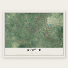
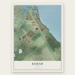
More maps nearby: Bacliff, Clear Lake Shores, Webster, Nassau Bay and La Marque.
The art of mapping a place
How This Map Was Made
Real places. Remarkable detail. Discover the layers that turn geographic data into a map of home.

The view from above
Aerial imagery reveals the character of the land: woodland, open fields, and the patterns of a place.

The shape of the land
Elevation data brings hills, valleys, and subtle changes in the landscape into view.

The details of home
Roads, waterways, and building footprints come together to make the map feel unmistakably local.

Geography becomes art
Considered color, shading, and typography bring the layers together in a map made for your wall.


Process illustrated with Mendon, Massachusetts. Aerial imagery: USDA NAIP. Terrain: USGS 3D Elevation Program. Map details and finished artwork: KNOWOL.
The Details
About This Print
Choose an archival matte print, or a black or white Ayous wood frame. The archival matte print is unframed.
Select your size and finish above to see the matching product image and price.
Materials & Craftsmanship
A contemporary map with the character of a classic atlas, printed on archival matte paper. Optional frames are made from Ayous wood.
Your printed map does not include the watermark shown in the full-map preview.
Shipping & Delivery
Free shipping within the United States. Every print is made to order in the USA.
Buying a gift? Add a note in your cart and we'll include it. We never put prices in the package.
Prints ship within 2 to 3 business days. Allow 7 to 10 days total from ordering for delivery. Timing may vary during holidays or periods of high order volume.
Read our shipping policy.
Returns and damaged prints
Each print is made to order. Change-of-mind refunds are not available after production.
If your print arrives damaged, misprinted or incorrect, contact support@knowol.com within 30 days of receiving it. Include your order number, photos and a description of the issue.
Read our full refund and replacement policy. For questions about your order, email support@knowol.com.