
Search for another town




Free U.S. delivery 7 to 10 days after you order
League City, Texas Map Art
Building by building, with labeled streets and shaded relief.
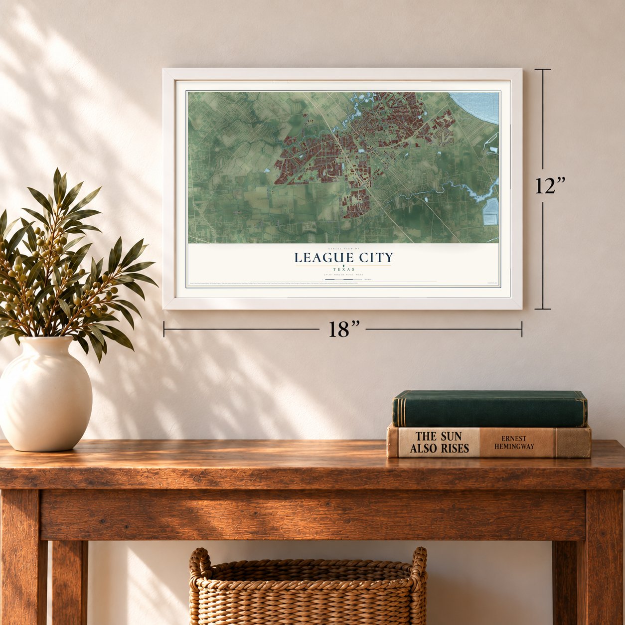
12" x 18" Archival Matte Print
A Map of Home. A Work of Art.
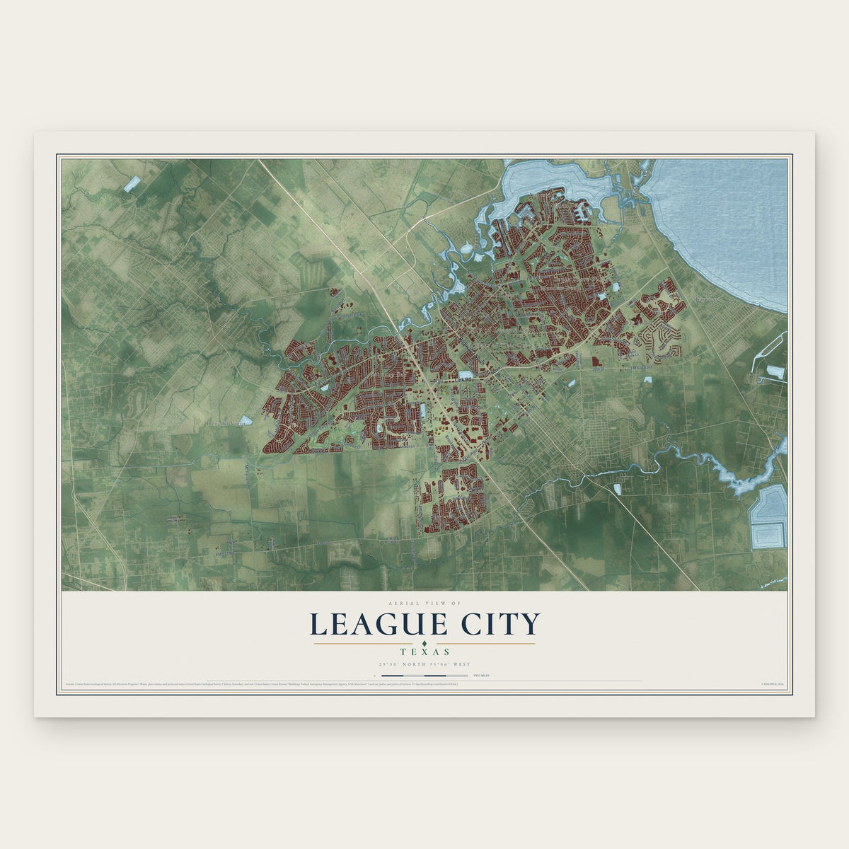
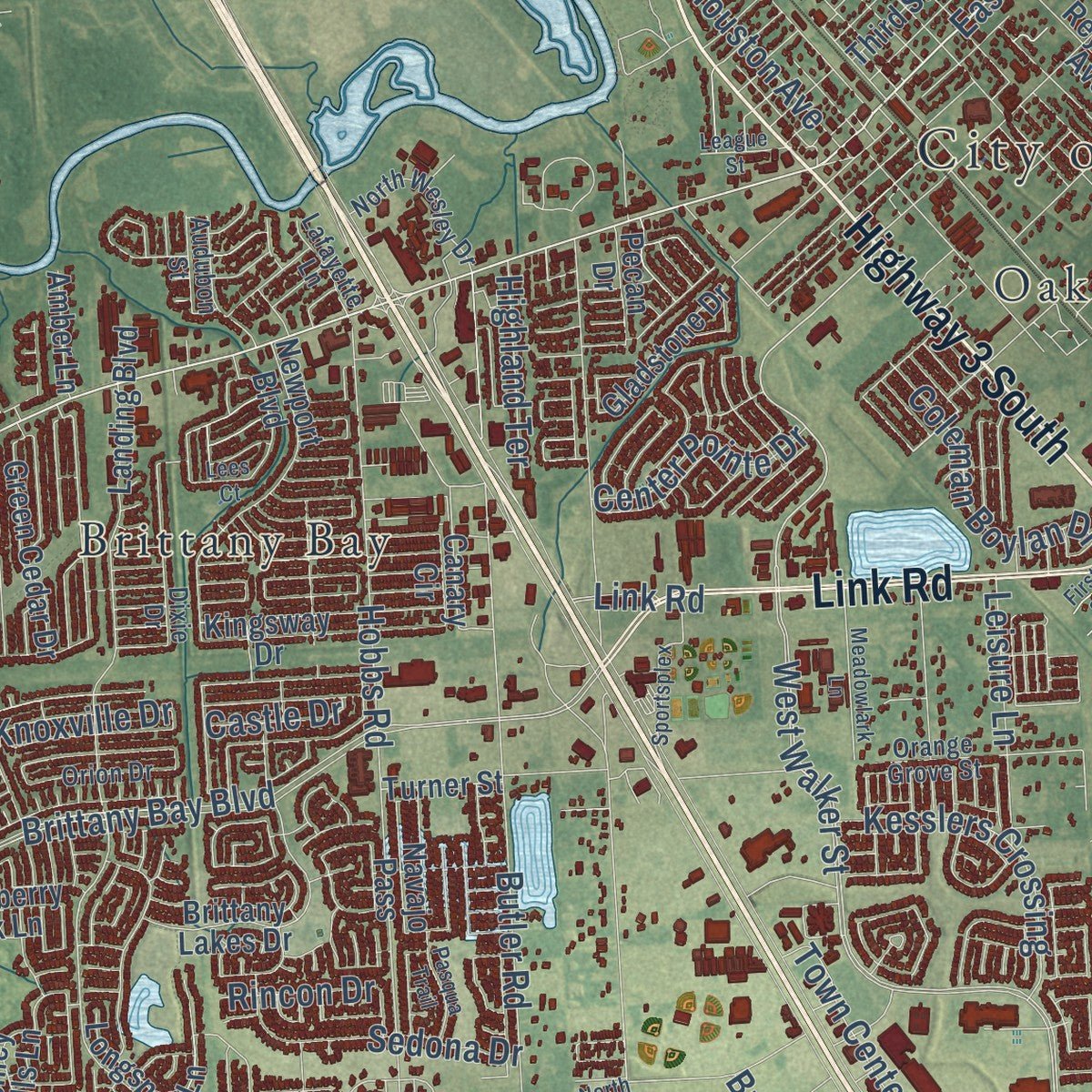
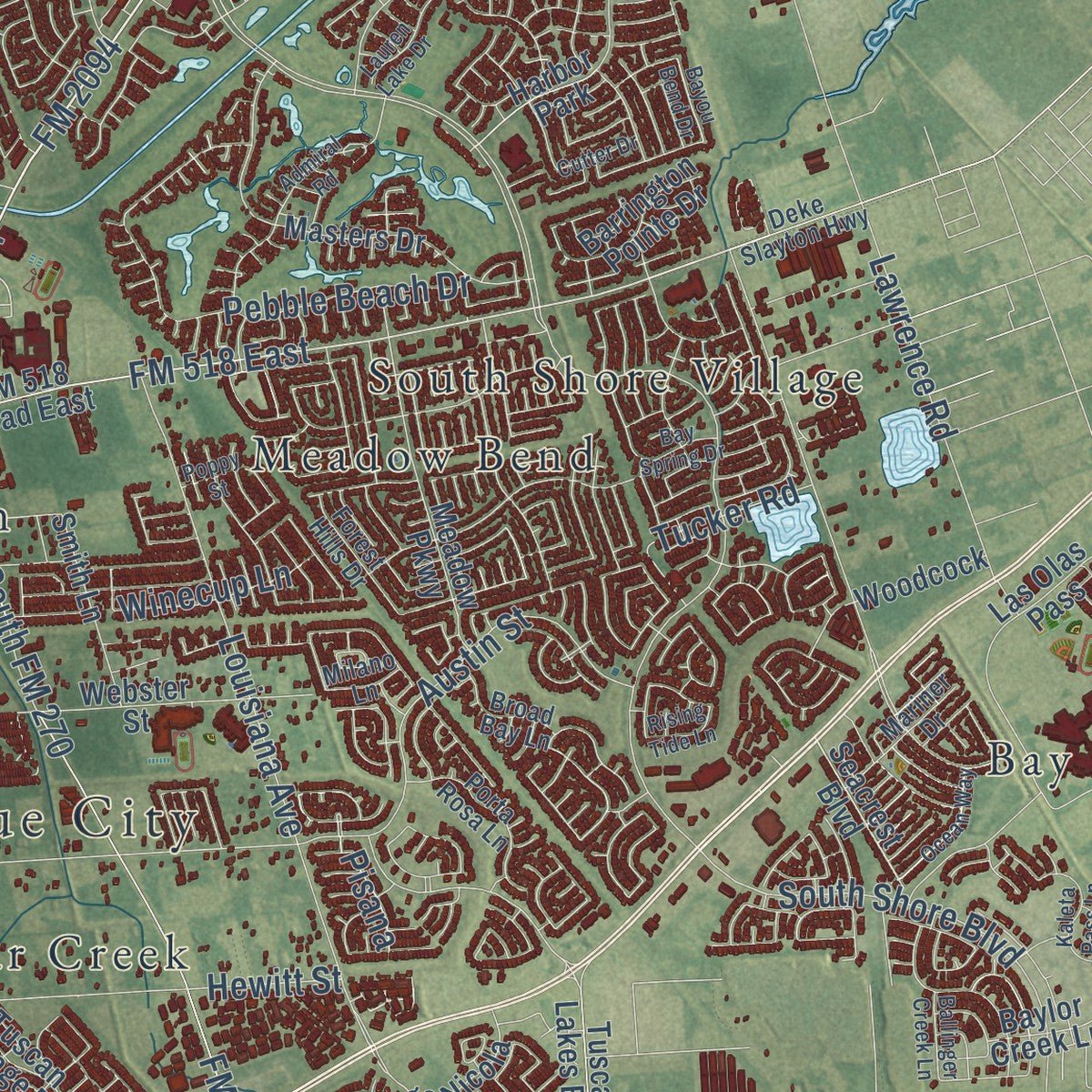
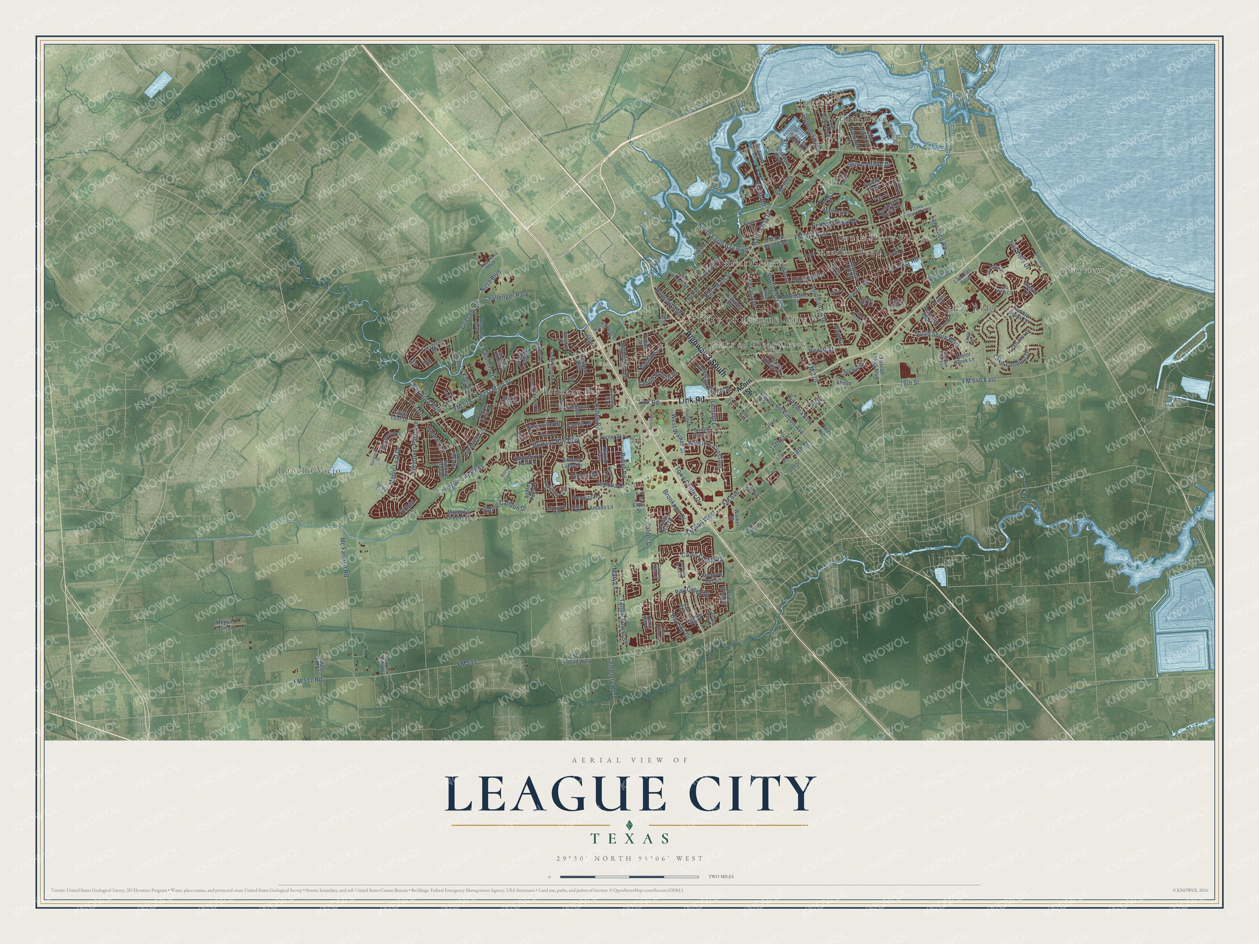
Explore League City, Texas from a whole new perspective. Created using aerial imagery and detailed geographic data, this map captures League City building by building, with labeled streets, familiar landmarks, and shaded topographical relief that highlights the natural contours of the landscape.
Combining modern data with the timeless character of a vintage atlas, this map is just as interesting up close as it is beautiful on the wall. Whether you grew up in League City, spent memorable years there, or call it home today, this unique map is a great way to celebrate a place that means something to you. Zoom in on the preview to look for your street, and then order a print to put your memories on the wall.
Three ways to hang it
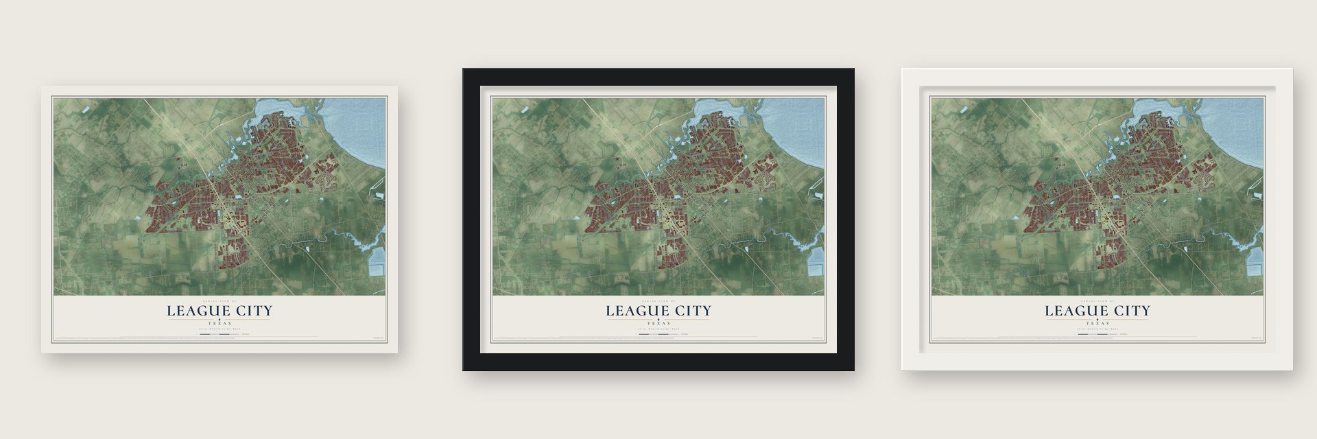
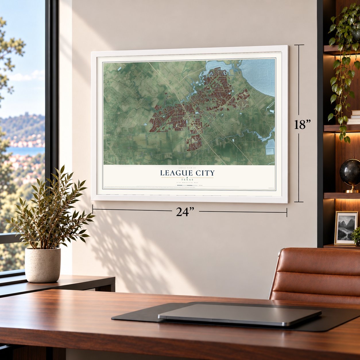
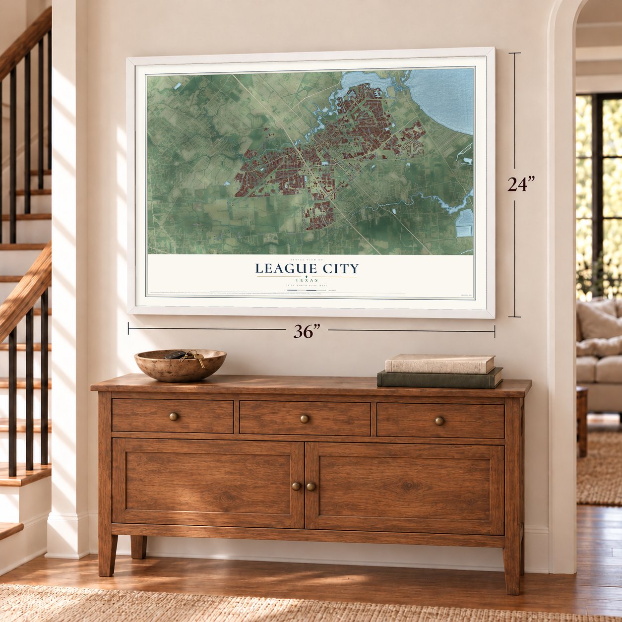
Unframed archival matte, a black wood frame or a white wood frame.
Up close
Geography Worth Displaying
This map was created using accurate cartographic data and authoritative geographic sources, including the U.S. Geological Survey and the Census Bureau. The map brings together terrain, waterways, roads, and building detail. The majority of the streets are labeled, houses are accurately depicted, and the topography is derived from government sources. Combining local data with carefully composed color and shading leads to this beautifully detailed League City artwork for your wall.
Rather than simply showing street outlines, we’ve included as many of the street names as we could reasonably fit on the map while keeping their names legible. Zoom in on the high resolution preview to see exactly what’s on the map. We truly set out to create a statement piece for anyone who loves League City. So whether it’s for you, or a gift for someone you love, we hope this map of League City brings back fond memories.
Read the story behind this map of League City, Texas from 2026.

Find your street
Names on the League City map
Every name below is printed on this map. Look for your street, your school, the park where you played, or the pond down the road.
Places and landmarks13
- City of League City
- Bay Ridge
- Bayview
- Briar Glen
- Brittany Bay
- Glen Cove
- Lakeside
- Meadow Bend
- Oaks of Clear Creek
- Rancho Viejo
- South Shore Village
- Challenger Park
Show all 13 places
- Harbor Park
Streets and roads199
- Highway 3 South
- Link Road
- FM 518
- FM 2094
- Marina Bay Drive
- FM 518 East
- FM 517 Road
- East Main Street
- West Walker Street
- 16th Street
- FM 646
- South Shore Boulevard
- Brittany Bay Boulevard
- FM 646 West
- FM 270
- Calder Drive
- West Main Street
- FM 517
- League City Parkway
- FM 646 East
- Dickinson Avenue
- South FM 270
- Bay Area Boulevard
- Hobbs Road
- Mc Farland Road
- Austin Street
- Cross Colony Drive
- Louisiana Avenue
- Lawrence Road
- North Egret Bay Boulevard
Show all 199 streets
- Lake Landing Drive
- Maple Leaf Drive
- Butler Road
- Pebble Beach Drive
- Hewitt Street
- Grissom Road
- Coryell Street
- Westover Park Avenue
- Texas Avenue
- Mary Lane
- Tallow Forest Street
- Town Center Drive
- Davis Road
- Isla Vista Drive
- Enterprise Avenue
- Shore Pointe Drive
- Spring Canyon Drive
- Kesslers Crossing
- Coleman Boylan Drive
- Sedona Drive
- Leisure Lane
- Brookport Drive
- Country Lane
- Houston Avenue
- Palomino Lane
- Center Pointe Drive
- Winecup Lane
- Knoxville Drive
- 14th Street
- Bay Creek Drive
- Nasa Boulevard
- Carefree Drive
- Highland Terrace
- Tucker Road
- Cemetery Road
- Virginia Avenue
- Bay Sky Drive
- Ellis Road
- Rincon Drive
- Castle Drive
- Pear
- 18th Street
- Pisana
- Acorn Street
- Twin Oaks Boulevard
- Seacrest Boulevard
- Silver Leaf Drive
- Landing Boulevard
- Masters Drive
- Tuscan Lakes Boulevard
- Third Street
- FM 517 Road West
- Las Olas Pass
- Webster Street
- Westwood Drive
- Newport Boulevard
- Meadow Parkway
- Brittany Lakes Drive
- FM 518 Road East
- Longspur Lane
- Lighthouse Boulevard
- Seminole Drive
- Lake Star Drive
- Turner Street
- Glen Cove Street
- Green Cedar Drive
- Barrington Pointe Drive
- Smith Lane
- Chinaberry Park Lane
- Canyon Crest Drive
- Magnolia Greens Lane
- West FM 517
- Lago Nicola
- Pebble Brook Drive
- Reynolds Avenue
- Tuscan Village Drive
- Ashley Falls Lane
- Gladstone Drive
- Grand Creek Drive
- Ohio Avenue
- Grove Park Drive
- Megan Lynn Lane
- Walker Street
- Pecan Drive
- Douglas Road
- Kingsway Drive
- Blue Wing Drive
- Evergreen Drive
- Pegasus Lane
- Woodcock
- Amado Lane
- Olive
- Bryant Lane
- Navajo Pass
- Amber Lane
- Meadow Bay Lane
- Spring Breeze
- Baylor Creek Lane
- Ahnya Lane
- Kirkham Lane
- Bayou Country
- Madrid Lane
- Crystal Isle Drive
- 17th Street
- Gill Road
- Canary Circle
- Ervin Street
- Lanier Drive
- Diamond Bay Drive
- Forest Hills Drive
- West Nasa Road 1
- Alaska Avenue
- Seventh Street
- Orange Grove Street
- Porta Rosa Lane
- North Wesley Drive
- Magnolia Estates Drive
- Dixie Drive
- Mariner Drive
- Orion Drive
- Deke Slayton Highway
- Broad Bay Lane
- Trocadero Lane
- Audubon Street
- Bayou Drive
- East Red Adair Boulevard
- Lafayette Lane
- Isla Vista Circle
- 20th Street
- Canyon Mist Lane
- Drake Run Lane
- Milano Lane
- Spring Trail
- Peach Mill Lane
- Ellen Avenue
- Eager Road
- Mae Street
- Ocean Way
- Bayou Bend Drive
- Admiral Road
- Hawaii Avenue
- North Kansas Avenue
- Oak Creek Drive
- Magnolia Bend Street
- Meadowlark Lane
- Sportsplex
- Kaleta Pass Lane
- Las Palmas Drive
- Countryside Drive
- Stockport Drive
- Bay Spring Drive
- Bayou Cove Lane
- Sandvalley Way
- Lauren Lake Drive
- Mariners Drive
- Pasqua Trail
- Poppy Street
- League Street
- Misty Bay Drive
- Arbor Hollow Lane
- Ballinger Creek Lane
- Bending Brook Lane
- Cutter Drive
- Rising Tide Lane
- Haye Road
- Pin Oak Drive
- Lees Court
- North Road
- First Street
Names are listed as they appear on the printed map. Zoom into the product photos to find them.
About League City, Texas
League City is a city of 114,392 people in Galveston County, on the south shore of Clear Lake between Houston and Galveston. Father Miguel Muldoon bought land here in 1831, when it was part of Stephen F. Austin's colony. George Washington Butler came from Louisiana in 1854, at age nine, along with the Coward and Perkins families, and the Galveston, Houston and Henderson Railroad reached the area in 1859.
In 1873 Henry B. Andrews, a railroad investor, sold Butler thirty-four acres. His Butler Ranch and Cattle Station became a stop for passengers and mail, and a post office named Clear Creek opened there in 1874. In the early 1890s a businessman from Galveston, John Charles "J. C." League, purchased land from the Muldoon survey, laid out a townsite, gave land for the first school and renamed the town League City. It became an incorporated city in 1962.
- The Butler Oaks of 1907In 1907 J. C. League arranged for two flatcars loaded with live oaks to be left beside the railroad tracks so residents could plant them on their own land. George Washington Butler, who also brought Brahman cattle to the area, and his son Milby oversaw the planting. Many of the Butler Oaks still shade Main Street.
- The first brick building, 1909The two-story Butler Building was the first brick commercial building in town. Its ground floor held the town's first bank, the Citizens State Bank, plus a hardware store, a drugstore, an office for real estate and insurance, and a doctor's office, while apartments filled the second floor. It was restored as Butler's Courtyard in 2002.
- Four railroads by 1914By 1914 League City had 500 people and four rail lines: the Galveston-Houston Electric Railroad, the Missouri, Kansas and Texas, the International-Great Northern, and the Galveston, Houston and Henderson. Rail traffic kept the business district busy, and Kilgore Lumber Company, which opened in 1915, was still running in the 2020s.
- Farmers from Japan and ItalyJapanese farmers settled in the area in 1903 and grew rice, then turned to truck farming after World War I. In 1923 thirty Italian families arrived and began raising vegetables.
- Growing with NASAThe town had 1,341 people in 1950 and 2,622 in 1960. In 1961 NASA began building the Manned Spacecraft Center across Clear Lake, and it became a local employer. League City reached 16,578 people by 1980. The count climbed to 45,444 by 2000, then to 83,560 ten years later, and between 2000 and 2005 it passed Galveston as the county's largest city.
Keep exploring Texas
League City is one of 2,049 Texas towns we've mapped. Every dot on the map is a print of its own.
The search covers every state, Texas first.
Near League City
Order 2 or more town maps and save 10%. Shown in the size and finish you picked above, so they hang as a set.
- Webster 12" x 18" / Archival Matte Print $39.99
- Nassau Bay 12" x 18" / Archival Matte Print $39.99
- Dickinson 12" x 18" / Archival Matte Print $39.99
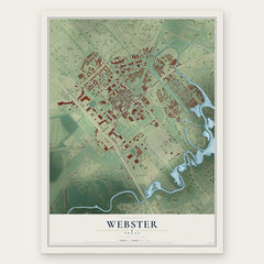
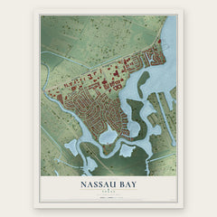
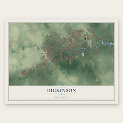
More maps nearby: Friendswood, Clear Lake Shores, Kemah, Taylor Lake Village and El Lago.
The art of mapping a place
How This Map Was Made
Real places. Remarkable detail. Discover the layers that turn geographic data into a map of home.

The view from above
Aerial imagery reveals the character of the land: woodland, open fields, and the patterns of a place.

The shape of the land
Elevation data brings hills, valleys, and subtle changes in the landscape into view.

The details of home
Roads, waterways, and building footprints come together to make the map feel unmistakably local.

Geography becomes art
Considered color, shading, and typography bring the layers together in a map made for your wall.


Process illustrated with Mendon, Massachusetts. Aerial imagery: USDA NAIP. Terrain: USGS 3D Elevation Program. Map details and finished artwork: KNOWOL.
The Details
About This Print
Choose an archival matte print, or a black or white Ayous wood frame. The archival matte print is unframed.
Select your size and finish above to see the matching product image and price.
Materials & Craftsmanship
A contemporary map with the character of a classic atlas, printed on archival matte paper. Optional frames are made from Ayous wood.
Your printed map does not include the watermark shown in the full-map preview.
Shipping & Delivery
Free shipping within the United States. Every print is made to order in the USA.
Buying a gift? Add a note in your cart and we'll include it. We never put prices in the package.
Prints ship within 2 to 3 business days. Allow 7 to 10 days total from ordering for delivery. Timing may vary during holidays or periods of high order volume.
Read our shipping policy.
Returns and damaged prints
Each print is made to order. Change-of-mind refunds are not available after production.
If your print arrives damaged, misprinted or incorrect, contact support@knowol.com within 30 days of receiving it. Include your order number, photos and a description of the issue.
Read our full refund and replacement policy. For questions about your order, email support@knowol.com.