
Search for another town




Free U.S. delivery 7 to 10 days after you order
Friendswood, Texas Map Art
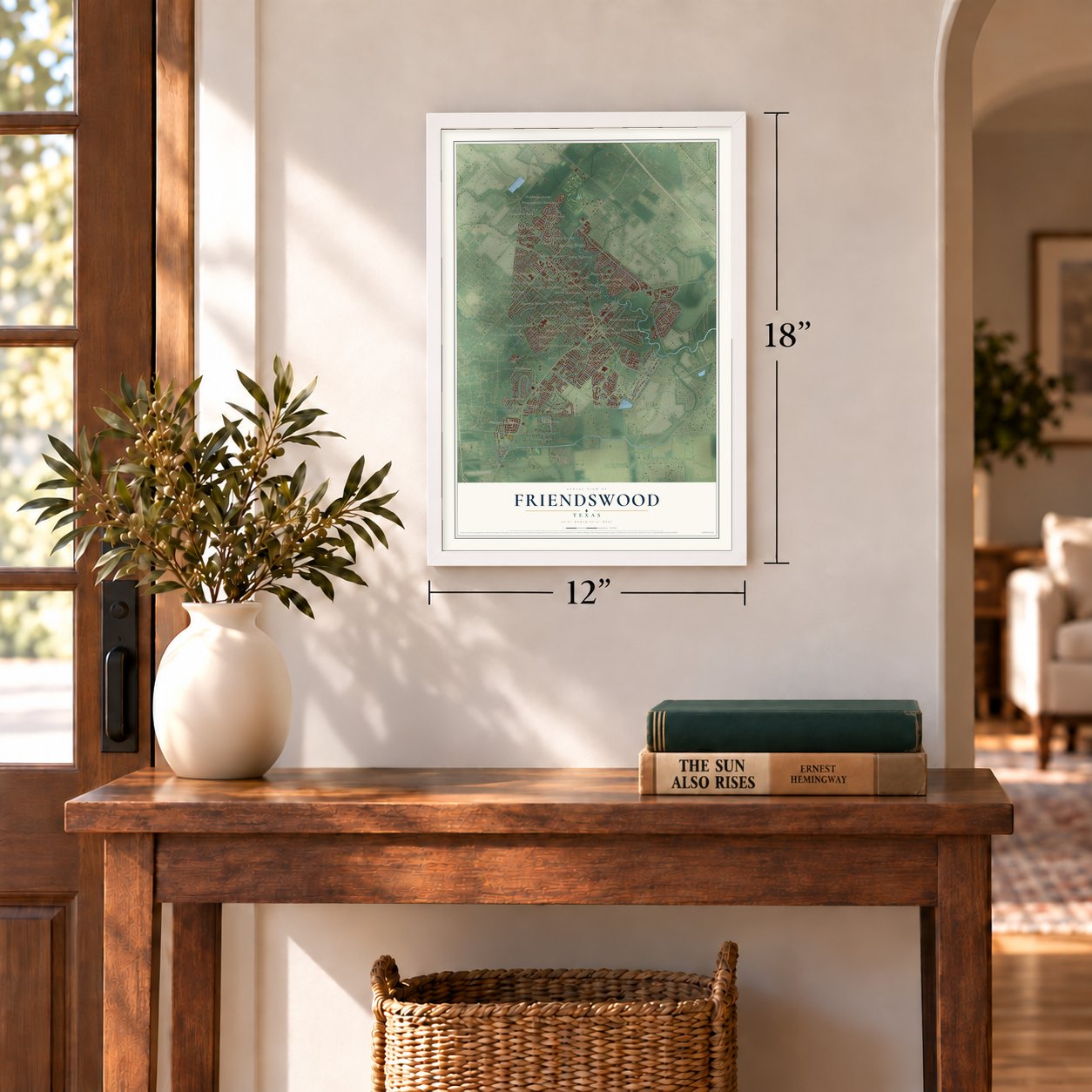
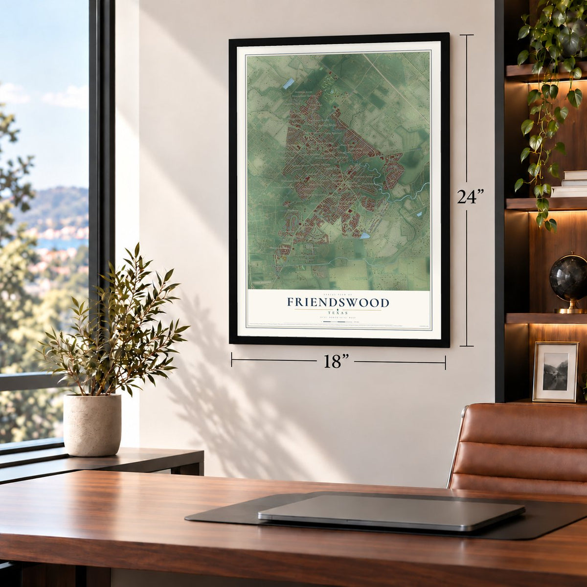
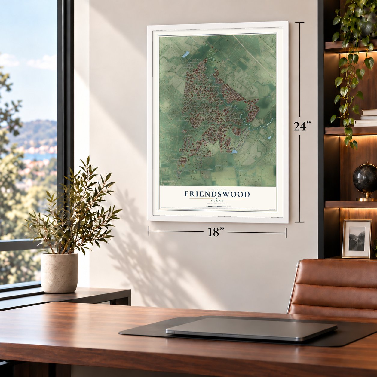
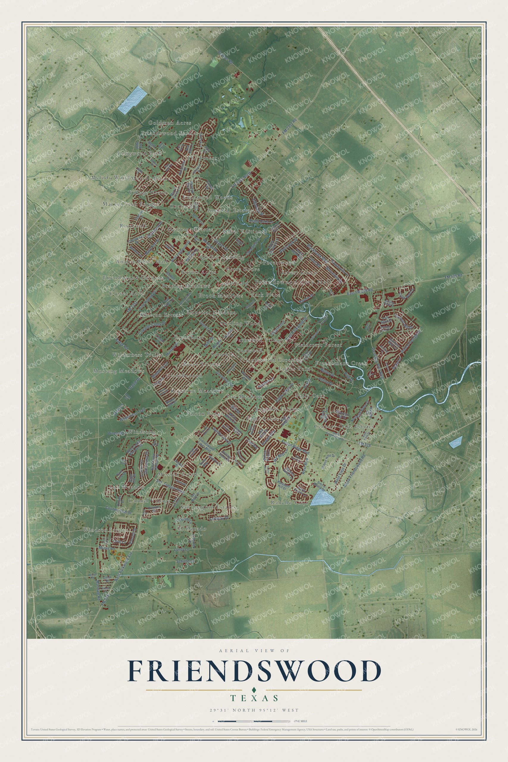
A new map of Friendswood, Texas, made in 2026 and printed to order on thick archival matte paper.
12" x 18" Archival Matte Print
A Map of Home. A Work of Art.
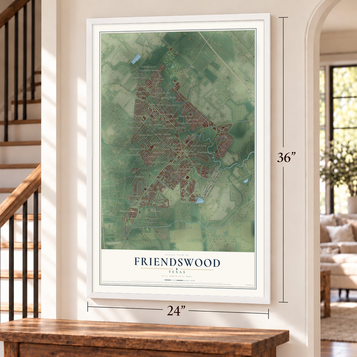
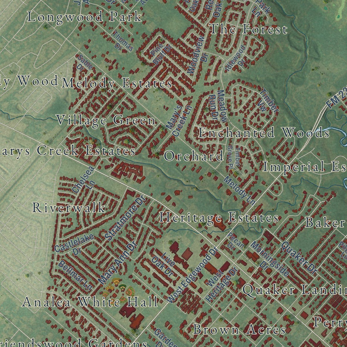
This beautifully detailed map of Friendswood, Texas was created in 2026 using aerial imagery combined with modern topographical, census, street and landmark data. It's a modern aerial view of Friendswood in Galveston County, Texas, that combines modern data with a vintage aesthetic. Zoom in on the preview and look for your block.
Three ways to hang it
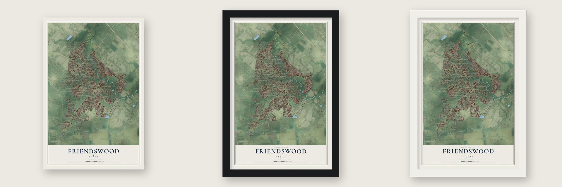
Unframed archival matte, a black wood frame or a white wood frame.
Up close
Real geography. Art worth displaying.
This map was created using accurate cartographic data and authoritative geographic sources, including the U.S. Geological Survey and the Census Bureau. The map brings together terrain, waterways, roads, and building detail. The majority of the streets are labeled, houses are accurately depicted, and the topography is derived from government sources. Combining local data with carefully composed color and shading leads to this beautifully detailed Friendswood artwork for your wall.
Rather than simply showing street outlines, we’ve included as many of the street names as we could reasonably fit on the map while keeping their names legible. Zoom in on the high resolution preview to see exactly what’s on the map. We truly set out to create a statement piece for anyone who loves Friendswood. So whether it’s for you, or a gift for someone you love, we hope this map of Friendswood brings back fond memories.
Read the story behind this map of Friendswood, Texas from 2026.

About Friendswood, Texas
Founded in 1895 by Quaker settlers, Friendswood grew from a wooded agricultural community into an incorporated residential city spanning Galveston and Harris counties. Early life centered on worship, schooling, and crops such as figs, strawberries, oranges, and rice. The 2020 census recorded 41,213 residents.
- Named for FriendsThe settlers named their community in honor of the Religious Society of Friends, commonly known as Quakers.
- Four Creek SettingThe original settlement occupied land drained by Chigger, Coward's, Mary's, and Clear creeks.
- Academy and ChurchLumber from storm-felled pine helped construct Friendswood Academy, where students completed their first graduating year in 1907 and residents also worshipped.
- City Since 1960Friendswood formally incorporated as a city in 1960.
- Space Center ConnectionAfter the NASA Manned Spacecraft Center opened ten miles away in 1962, many Friendswood residents began commuting there or to Houston.
Find your street
Names on the Friendswood map
Every name below is printed on this map. Look for your street, your school, the park where you played, or the pond down the road.
Places and landmarks57
- Friendswood City Hall
- Windsor Estates
- Analea White Hall
- Baker Editions
- Bradley Meadows
- Brook Meadows
- Brown Acres
- Carmel Village
- Century Oaks Estates
- Clover Acres
- Eagle Lakes
- Eagles Point
Show all 57 places
- El Dorado
- Enchanted Woods
- Falcon Ridge
- Fieldcrest Forest
- Forest Green
- Forestwood
- Fox Meadows
- Frenchmans Creek
- Friendswood Crossing
- Friendswood Estates
- Friendswood Gardens
- Glenshannon
- Goldman Acres
- Greenbriar
- Heritage Estates
- Imperial Estates
- Imperial Gardens
- Keystone Meadows
- Laurelfield
- Longwood Park
- Marys Creek Estates
- Melody Estates
- Melody Wood
- Mission Estates
- Mustang Meadows
- Orchard
- Park Place
- Parkwood Village
- Perry Grove
- Polly Oaks
- Quaker Landing
- Rancho Viejo
- Reese Estates
- Regency Estates
- Riverwalk
- San Joaquin Estates
- Sheeran Estates
- Sterling Wood
- Sun Meadow
- Sunpark
- Sunwood
- The Forest
- Village Green
- Wilderness Trails
- Windsong
Streets and roads168
- Blackhawk Boulevard
- FM 2351
- FM 2351 North
- Hawkhill Drive
- FM 518
- FM 528
- West Parkwood Avenue
- Sunset Drive
- Wilderness Trail
- Beamer Road
- West Bay Area Boulevard
- Falcon Ridge Boulevard
- East FM 528 Road
- Eagle Lakes Drive
- Oak Drive
- FM 2351 Road
- FM 528 Road
- Lakeway Drive
- Barcelona Drive
- Baker Road
- Tibet Road
- Lundy Lane
- West Boulevard
- Algoa-Friendswood Road
- West Viejo Drive
- Country Club Drive
- East Parkwood Drive
- Quaker Drive
- Cowards Creek Drive
- Prince George Drive
Show all 168 streets
- San Joaquin Parkway
- Airline Drive
- Pine Hollow Drive
- Pine Drive
- Mandale Road
- Mary Ann Drive
- Butler Drive
- Schulte Lane
- Sandy Lake Drive
- Moore Road
- Abercreek Street
- Everett Drive
- Shady Oaks Lane
- Charleston
- Edenvale Street
- Clearview Drive
- Ravine Drive
- Old Course Drive
- Stable Drive
- Hunters Lane
- Mills Drive
- Harvest Hill Drive
- Duke Lane
- Stratmore Drive
- Lake Mist Lane
- Love Lane
- Blueberry Lane
- Janet Lane
- Brill Drive
- Avery Lane
- Trail Vw
- West Edgewood Drive
- Bougainvilla Lane
- Leisure Lane
- Greenbriar Avenue
- Windsong Lane
- Melody Lane
- East Castle Harbour Drive
- West Castle Harbour Drive
- Apple Blossom Lane
- Forest Bend Avenue
- Tall Pines Drive
- Park Bend Drive
- El Dorado Lane
- Scenic Hills Drive
- Windsor Drive
- Pleasant Hill Drive
- Rymers Switch Lane
- Northcliff Ridge Lane
- Friendswood Lakes Boulevard
- Castlelake Drive
- High Ridge Drive
- Bayou Oak Drive
- White Wing Circle
- Murphy Lane
- Morningside Drive
- Garden Drive
- Desota Street
- Timber Vw
- Creek Bend Drive
- Chelsea Lane
- Dawn Hill Drive
- Bolivar Point Lane
- Duchess Park Lane
- Mountain Fall Court
- Stone Creek Terrace
- Mary's Creek Lane
- Mustang Drive
- Davis Prairie Lane
- Woodview Drive
- El Dorado Drive
- Canal Drive
- Dorado Drive
- Heather Lane
- Bellmar Lane
- Rancho Circle
- West Heritage Drive
- Palm Aire Drive
- Steele Drive
- Live Oak Drive
- Red Oak Lane
- John Avenue
- Rolling Stone Drive
- Meadow Run Drive
- Orlando Street
- Sierra Madre Drive
- Park Lane
- Anna Way
- Red Wing Drive
- Linson Lane
- Arbre Lane
- Sun Court
- Bob White Drive
- San Miguel Drive
- South Friendswood Drive
- Gleneagles Drive
- East Viejo Drive
- Cambridge Drive
- Whittier Oaks Drive
- Field Creek Drive
- Oak Park Lane
- Pampas Trail Drive
- Autumn Creek Drive
- Thomas Drive
- Judy Avenue
- Autumn Leaf Drive
- Eagle Creek Drive
- Pecan Drive
- Idlewood Drive
- Coronado
- Shadwell Lane
- Pilgrim Lane
- Estate Drive
- Pin Oak Drive
- Flat Rock Street
- Richard Lane
- Pine Bluff Drive
- Hollier Road
- Sable Drive
- B-Bar Circle
- Tamina Pass Lane
- Townes Road
- West Spreading Oaks
- South Mission Circle
- North Clear Creek Drive
- Piney Woods Drive
- Bridle Path Lane
- Edgewater Drive
- Garden Lakes Drive
- Dolan Springs Lane
- Firenze Drive
- Timber Grove Place
- Buckingham Drive
- Steven Luke Lane
- Kingston Drive
- Dominion Court
- Point Royal
- Tampa Street
Names are listed as they appear on the printed map. Zoom into the product photos to find them.
The art of mapping a place
How This Map Was Made
Real places. Remarkable detail. Discover the layers that turn geographic data into a map of home.

The view from above
Aerial imagery reveals the character of the land: woodland, open fields, and the patterns of a place.

The shape of the land
Elevation data brings hills, valleys, and subtle changes in the landscape into view.

The details of home
Roads, waterways, and building footprints come together to make the map feel unmistakably local.

Geography becomes art
Considered color, shading, and typography bring the layers together in a map made for your wall.


Process illustrated with Mendon, Massachusetts. Aerial imagery: USDA NAIP. Terrain: USGS 3D Elevation Program. Map details and finished artwork: KNOWOL.
The Details
About This Print
Choose an archival matte print, or a black or white Ayous wood frame. The archival matte print is unframed.
Select your size and finish above to see the matching product image and price.
Materials & Craftsmanship
A contemporary map with the character of a classic atlas, printed on archival matte paper. Optional frames are made from Ayous wood.
Your printed map does not include the watermark shown in the full-map preview.
Shipping & Delivery
Free shipping within the United States. Every print is made to order in the USA.
Buying a gift? Add a note in your cart and we'll include it. We never put prices in the package.
Prints ship within 2 to 3 business days. Allow 7 to 10 days total from ordering for delivery. Timing may vary during holidays or periods of high order volume.
Read our shipping policy.
Returns and damaged prints
Each print is made to order. Change-of-mind refunds are not available after production.
If your print arrives damaged, misprinted or incorrect, contact support@knowol.com within 30 days of receiving it. Include your order number, photos and a description of the issue.
Read our full refund and replacement policy. For questions about your order, email support@knowol.com.
Find your town
Looking for another city?
Find a map of home in our Texas collection.
Nearby
Maps of towns near Friendswood
Know someone from one of these towns? Their map makes a great gift.
 Webster
, Texas
From $39.99See the map
 League City
, Texas
From $39.99See the map
 Alvin
Alvin, Texas
From $39.99See the map
More maps nearby: Nassau Bay, Pearland, Hillcrest Village, Brookside Village and Dickinson.