
Search for another town

Free U.S. delivery 7 to 10 days after you order
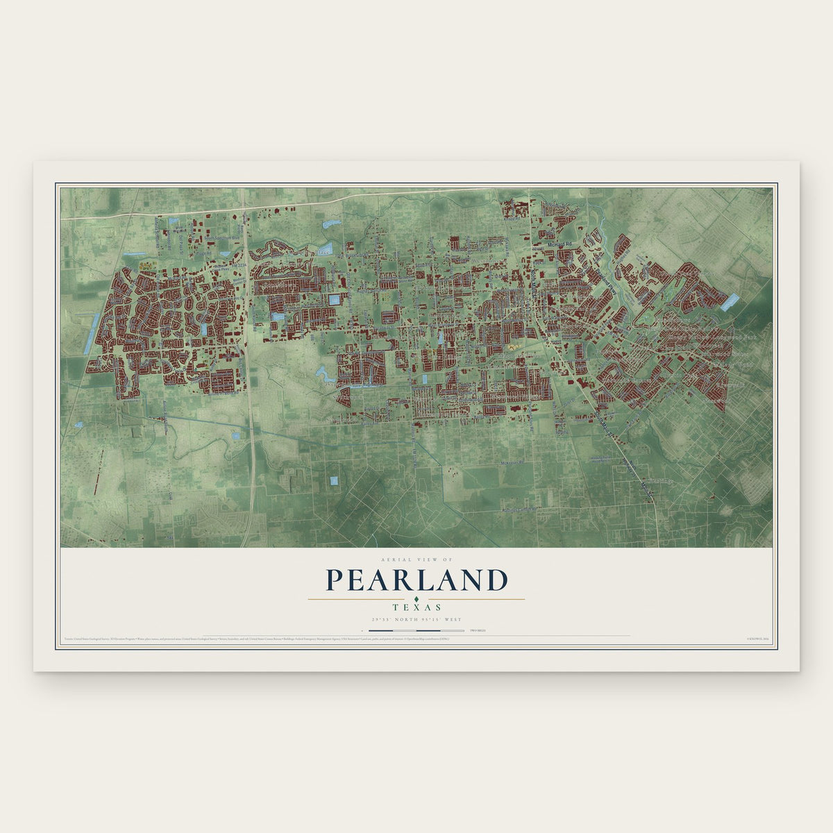
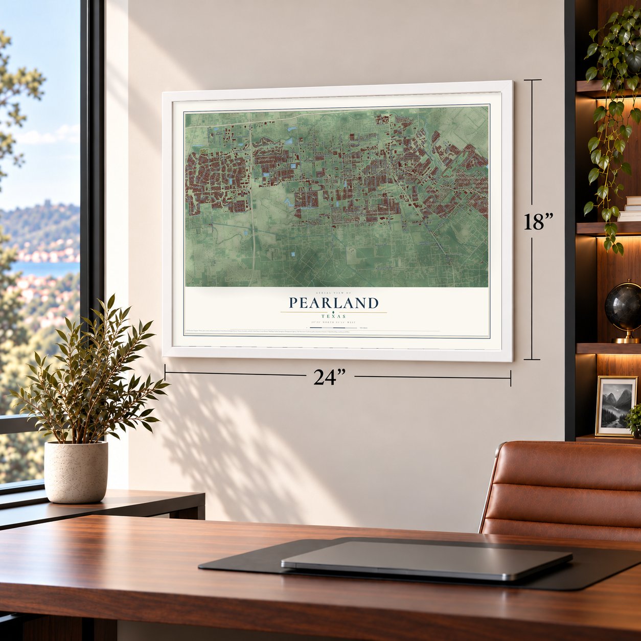
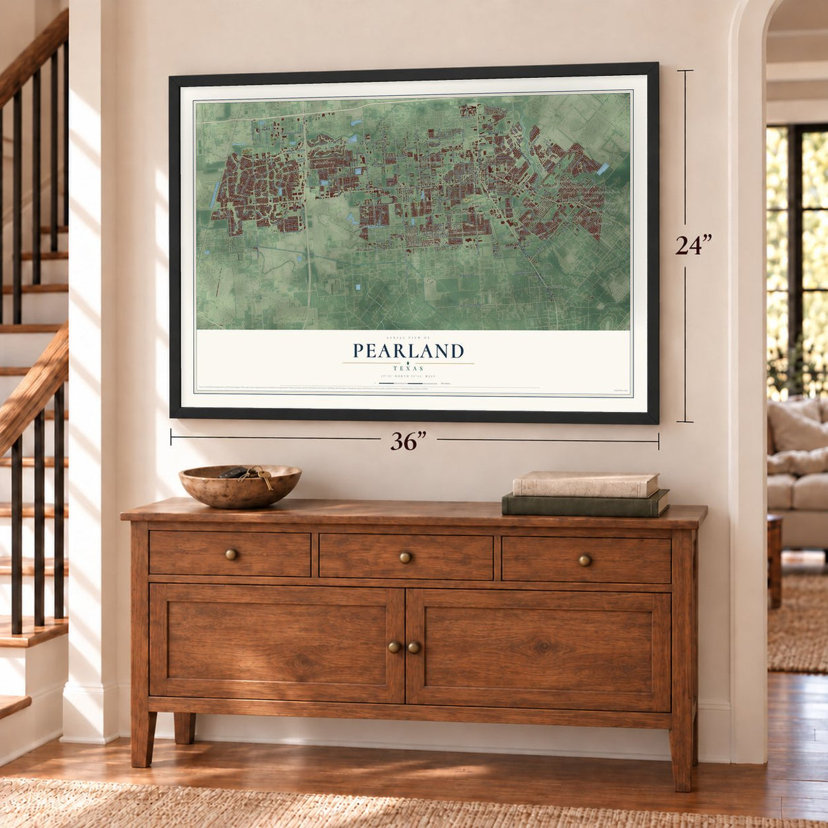
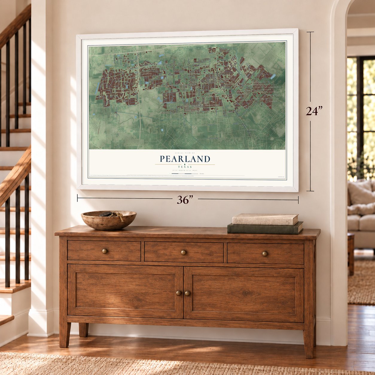
Pearland, Texas Map Art
Building by building, with labeled streets and shaded relief.
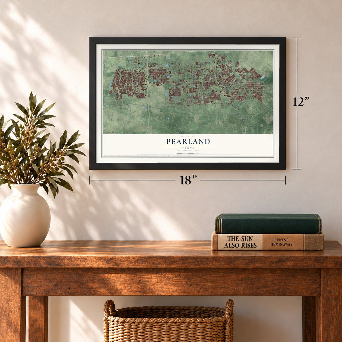
12" x 18" Archival Matte Print
A Map of Home. A Work of Art.
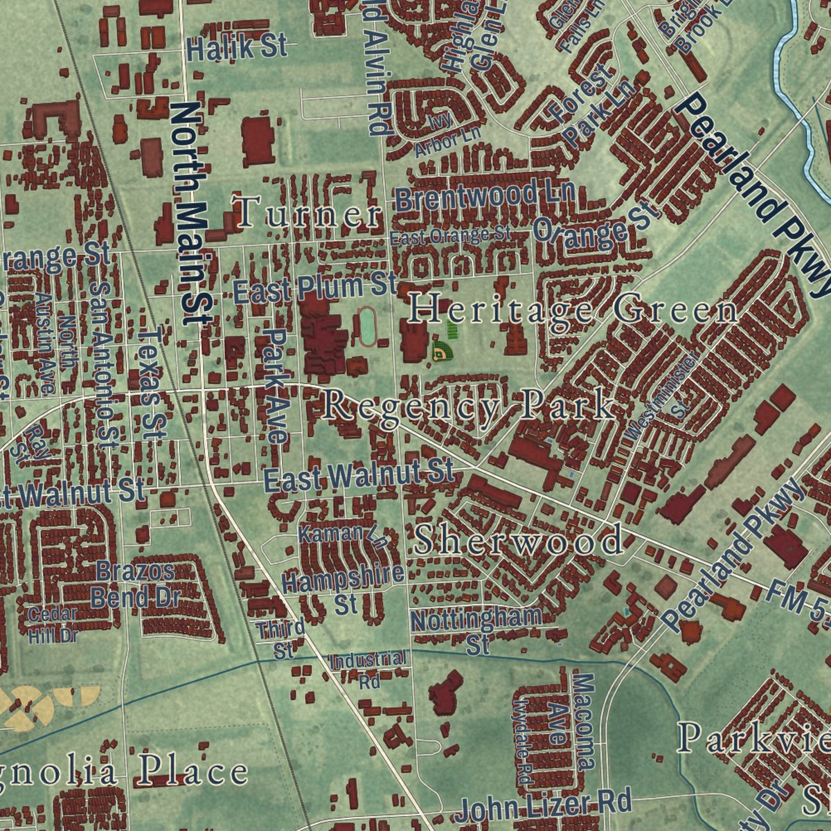
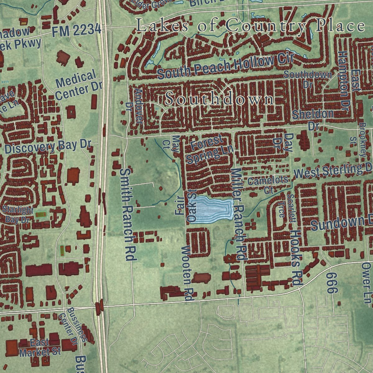
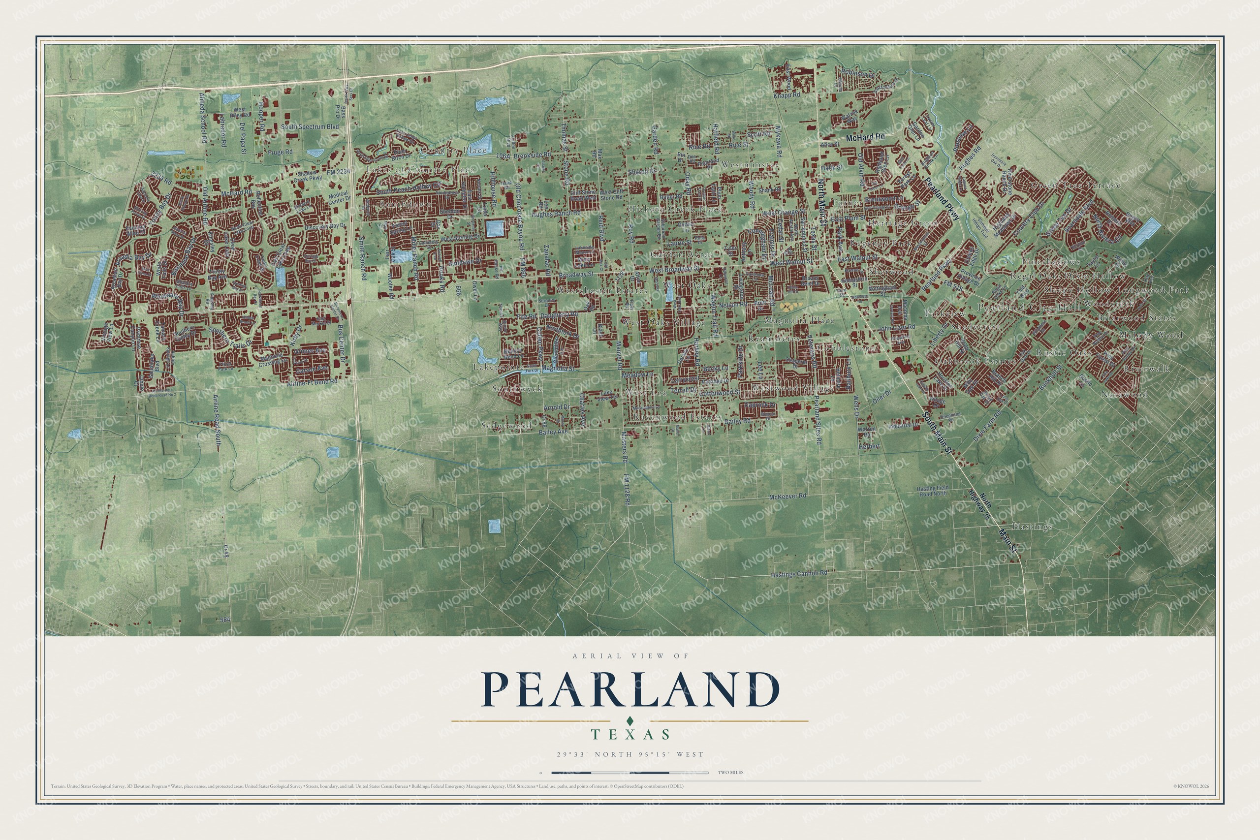
Explore Pearland, Texas from a whole new perspective. Created using aerial imagery and detailed geographic data, this map captures Pearland building by building, with labeled streets, familiar landmarks, and shaded topographical relief that highlights the natural contours of the landscape.
Combining modern data with the timeless character of a vintage atlas, this map is just as interesting up close as it is beautiful on the wall. Whether you grew up in Pearland, spent memorable years there, or call it home today, this unique map is a great way to celebrate a place that means something to you. Zoom in on the preview to look for your street, and then order a print to put your memories on the wall.
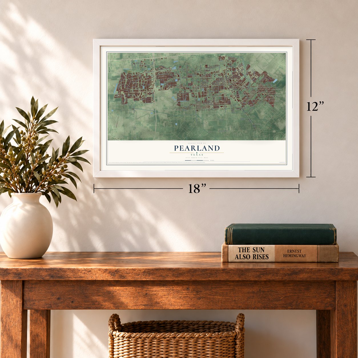
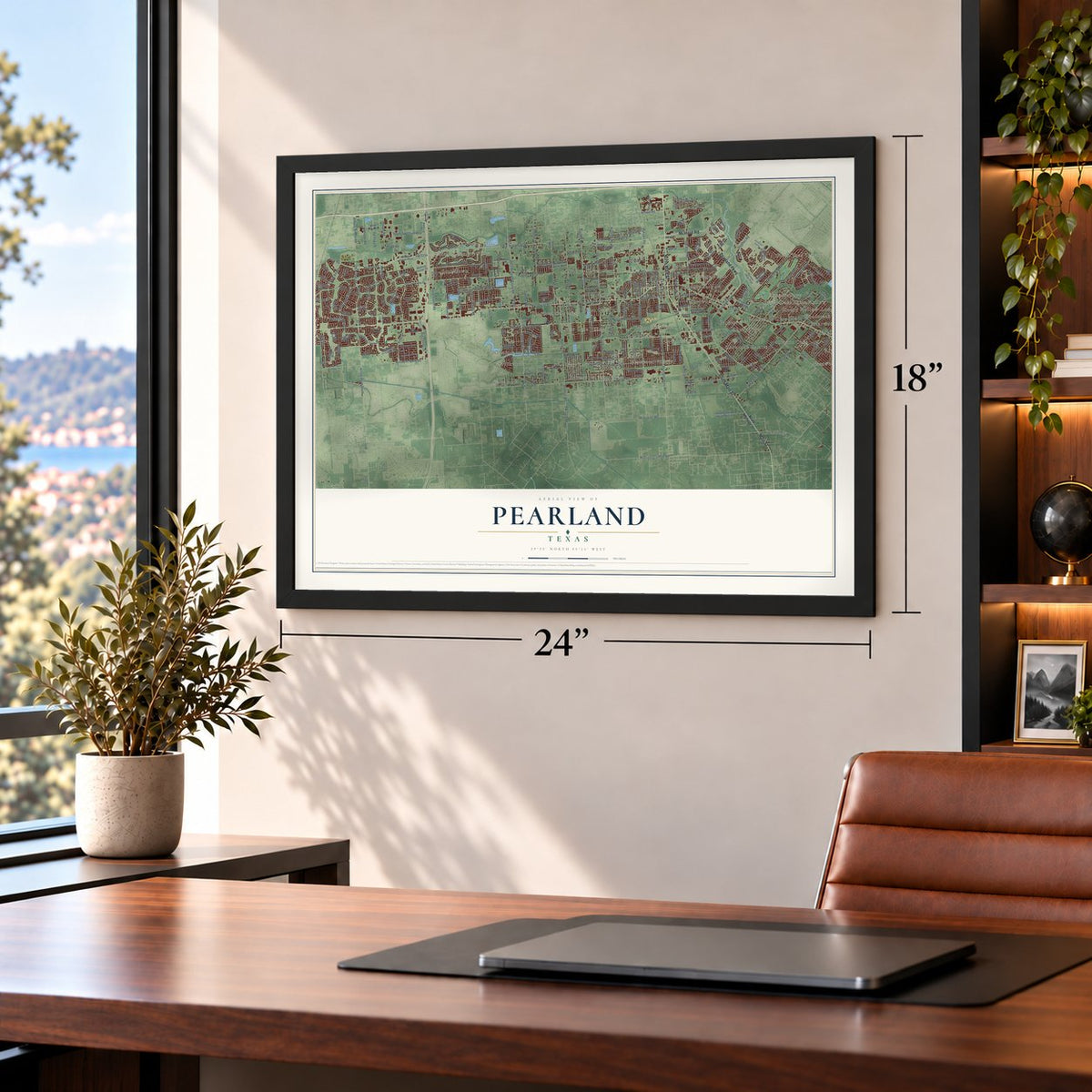
Three ways to hang it
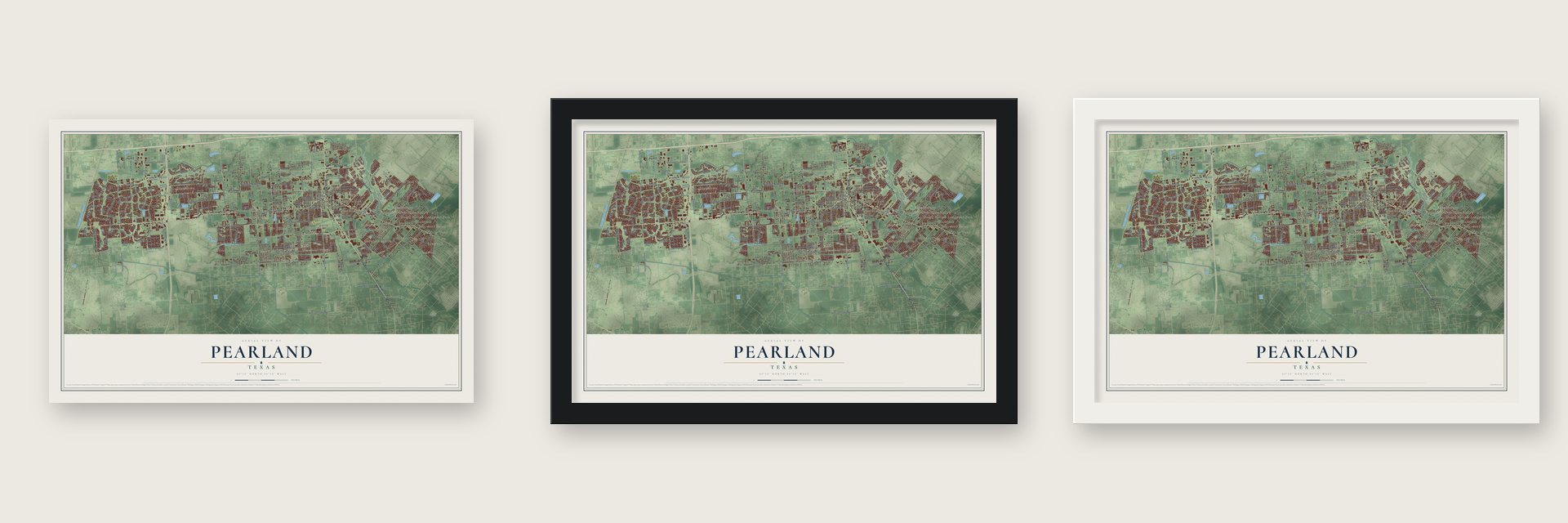
Unframed archival matte, a black wood frame or a white wood frame.
Up close
Geography Worth Displaying
This map was created using accurate cartographic data and authoritative geographic sources, including the U.S. Geological Survey and the Census Bureau. The map brings together terrain, waterways, roads, and building detail. The majority of the streets are labeled, houses are accurately depicted, and the topography is derived from government sources. Combining local data with carefully composed color and shading leads to this beautifully detailed Pearland artwork for your wall.
Rather than simply showing street outlines, we’ve included as many of the street names as we could reasonably fit on the map while keeping their names legible. Zoom in on the high resolution preview to see exactly what’s on the map. We truly set out to create a statement piece for anyone who loves Pearland. So whether it’s for you, or a gift for someone you love, we hope this map of Pearland brings back fond memories.
Read the story behind this map of Pearland, Texas from 2026.
Find your street
Names on the Pearland map
Every name below is printed on this map. Look for your street, your school, the park where you played, or the pond down the road.
Places and landmarks39
- Pearland City Hall
- Lakes of Country Place
- Country Place
- Southdown
- Hastings
- Sedgewood
- Green Tree Terrace
- Ryan Acres
- Ravenwood Estates
- Westminster
- Briarwood States
- Hickory Creek Place
Show all 39 places
- Westchester Estates
- Nasawood
- Heritage Green
- Lakepointe
- Pineshadows
- West Oaks
- Oakbrook Estates
- Westwood Village
- Sherwood
- Rustic Oaks
- Riverwalk
- Longwood Park
- West Oaks Village
- Regal Oaks
- Magnolia Place
- Turner
- Garden Acres
- Dixie Hollow
- Regency Park
- West Lea
- Woodcreek
- Parkview
- Cobblestone
- Southwyck
- Shadycrest
- Melody Wood
- Sleepy Hollow
Streets and roads285
- South Main Street
- Main Street
- North Main Street
- Pearland Parkway
- McHard Road
- FM 518
- Broadway Street
- West Broadway Street
- Old Airline Road
- Hastings Cannon Road
- Manvel Road
- Airline-Ft Bend Road
- Reid Boulevard
- Airline Road South
- Cunningham Drive
- Masters Road
- West Walnut Street
- East Walnut Street
- Roy Road
- Almeda School Road
- Old Chocolate Bayou Road
- Hughes Road
- Bailey Avenue
- Caprock Drive
- Magnolia Street
- Bailey Road
- Bus Center Drive
- FM 865
- 2234 Road
- Kirby Drive
Show all 285 streets
- Dixie Farm Road
- Fite Road
- Hughes Ranch Road
- Old Alvin Road
- Hatfield Road
- Daugherty Road
- Mykawa Road
- FM 2234
- Oiler Drive
- McLean Road
- McKeever Road
- Harkey Road
- Garden Road
- Veterans Road
- Windward Bay Drive
- Country Club Drive
- Green Tee Drive
- Oday Road
- Cullen Parkway
- Woody Road
- Trinity Bay Drive
- Stone Road
- Thomas Street
- Biscayne Bay Drive
- Pearland Sites Road
- Northfork Drive
- West Orange Street
- Southern Trails Drive
- South Peach Hollow Circle
- Knapp Road
- Liberty Drive
- Wagon Trail Road
- Miller Ranch Road
- Nelson Road
- FM 1128 Road
- Hooper Road
- Scarsdale Boulevard
- Brookside Road
- John Lizer Road
- East Plum Street
- Smith Ranch Road
- Del Papa Street
- South Spectrum Boulevard
- Scott Road
- Labrador Road
- Wells Drive
- Hillhouse Road
- Fruge Road
- North Riviera Circle
- Halik Street
- Robinson Drive
- Francis Drive
- Park Avenue
- Buckholt Street
- Sundown Drive
- Arcadia Bay Drive
- Lee Lane
- Cottonwood Street
- Brentwood Lane
- Charles Avenue
- Arnold Drive
- Carson Avenue
- Preserve Lane
- Meadow Lane
- Texas Street
- Banbury Lane
- Zapalac Road
- Parkside Drive
- Grimes Avenue
- Hooks Road
- Larrycrest
- Rice Street
- Rice Road
- Becky Lane
- Sharon Drive
- Laurie Street
- Cedar Street
- Terrell Drive
- Orange Street
- Herbert
- North Highway 35
- East Clear Lake Loop
- Clear Lake Loop
- Afton Drive
- Kingsley Drive
- Cr 48
- Evening Wind Drive
- Shadow Creek Parkway
- Max Road
- Reflection Bay
- Southlake Boulevard
- Oak Road
- Yost Boulevard
- Highland Meadows Drive
- Industrial Drive
- Hasting Field Road North
- Village Drive
- West Riley Road
- Magnolia Crossing Lane
- West Sterling Drive
- Taylor Lane
- Riverstone Ranch Drive
- San Antonio Street
- Highland Glen Lane
- Discovery Bay Drive
- Shank Road
- Hampshire Street
- Pine Forest Drive
- Province Village Drive
- Romero Drive
- Patridge Drive
- Primrose Canyon Lane
- Forest Park Lane
- East Hampton Drive
- Garden Glen Lane
- Bogey Way
- Medical Center Drive
- River Birch Drive
- Pearland Place
- Arcadian Bay Drive
- Anthony Lane
- Wild Oak Drive
- Southern Valley Drive
- Belmore Lane
- Tamara Creek Lane
- Lee Road
- Cliff Stone Road West
- Plum Falls Lane
- Nottingham Street
- Watzek Way
- Bass Pro Drive
- Glencullen Lane
- East Wood
- Knob Hill Street
- Butler Road
- Livingston Drive
- West Cliff Stone Road
- Brazos Bend Drive
- Cr 89
- Sheldon Drive
- Creeks Edge Drive
- Dublin Lane
- Wooten Road
- Houston Lake Drive
- Misty Lake Lane
- Vintage View Lane
- Chaperel Drive
- Macoma Avenue
- Branch Hill Drive
- Dorsey Lane
- Forest Spring Lane
- White Falls Drive
- Lake View Terrace
- Trinity Bay Avenue
- Fair Oak Street
- Ower Lane
- Willits Street
- Alice Street
- Beacon Bend Lane
- Warren Road
- Rustic Lane
- Bui Drive
- Brett Drive
- Cibolo Court
- Black Lane
- Linda Lane
- Tyler Street
- Day Drive
- Kingsley Road
- North Clear Lake Loop
- Blanco Drive
- Cullen Boulevard
- Southdown Drive
- Suburban Garden Road
- East Cedar Hollow Drive
- Glastonbury Drive
- Oak Dale Drive
- Hawk Road
- Piper Road
- Summer Indigo Trail
- Telephone Road
- Carmona Lane
- Laurel Leaf Lane
- Enclave Lake Lane
- North Austin Avenue
- Kaman Lane
- Pine Valley Drive
- Glenda Drive
- Cedar Creek Drive
- Windfern Drive
- Lakeside Manor Lane
- Ashton Springs Lane
- Kay Avenue
- Camelots Court
- Regal Oaks Lane
- Grand Oak Drive
- Pine Hollow Drive
- Norfolk Drive
- Brighton Brook Lane
- Hill House Road
- East Market Street
- Serenity Drive
- Shallow Falls Lane
- Andover Drive
- Floral Park Lane
- Berlino Drive
- Ray Street
- Bruno Way
- Dee Road
- Ruby Drive
- Third Street
- May Court
- South Fork Drive
- Airline-Fort Bend Road No 2
- South Frwy Serv Drive
- Willow Brook Lane
- Westminister Street
- Bussiness Center Drive
- West Oaks Boulevard
- East Orange Street
- North Elder Grove Drive
- Mooring Pointe Drive
- Biscayne Lake Drive
- Mockingbird Lane
- Morenci
- John Street
- Brookney Street
- Dunsmore Oak Drive
- Imperial Shore Drive
- Wheatfield Boulevard
- Yoakum Street
- Ivydale Road
- Adamo Lane
- Half Moon Bay Drive
- Shore Breeze Drive
- Cedar Hill Drive
- Industrial Road
- Pine Lake Drive
- Starlight Bay Drive
- Laguna Ridge Lane
- Oakwood Lane
- Moray Drive
- Ivy Arbor Lane
- Canyon Lake Drive
- Evening Bay Drive
- Wilke Road
- Briar Rose Drive
- Orchard Frost Drive
- Navarre
- Old Max Court
- Scarlett Trce
- Long Oak Drive
- Glen Falls Lane
- Glenn Lane
- Manor Drive
Names are listed as they appear on the printed map. Zoom into the product photos to find them.
About Pearland, Texas
Pearland began beside a railroad switch in northern Brazoria County and took its present name from the community's pear trees. Storms and freezes repeatedly challenged its early agricultural economy. After incorporating in 1959, the city expanded rapidly, reaching a population of 125,828 in 2020.
- Railroad BeginningsThe community developed around a Gulf, Colorado and Santa Fe Railway siding established in 1882.
- Named for Pear TreesThe settlement was called Mark Belt when its post office opened in 1893, then became Pearland that November because pear trees were plentiful.
- Agricultural SetbacksThe 1900 Galveston hurricane destroyed fruit trees, while a 1918 freeze later interrupted renewed cultivation of oranges and figs.
- Incorporated in 1959Pearland incorporated in November 1959 with two square miles of territory and 1,910 residents.
- 2020 PopulationThe 2020 census counted 125,828 people in Pearland.
Keep exploring Texas
Pearland is one of 2,049 Texas towns we've mapped. Every dot on the map is a print of its own.
The search covers every state, Texas first.
Near Pearland
Order 2 or more town maps and save 10%. Shown in the size and finish you picked above, so they hang as a set.
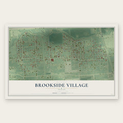
- Brookside Village 12" x 18" / Archival Matte Print $39.99
- Manvel 12" x 18" / Archival Matte Print $39.99
- Friendswood 12" x 18" / Archival Matte Print $39.99


More maps nearby: Fresno, South Houston, Arcola, Iowa Colony and Alvin.
The art of mapping a place
How This Map Was Made
Real places. Remarkable detail. Discover the layers that turn geographic data into a map of home.

The view from above
Aerial imagery reveals the character of the land: woodland, open fields, and the patterns of a place.

The shape of the land
Elevation data brings hills, valleys, and subtle changes in the landscape into view.

The details of home
Roads, waterways, and building footprints come together to make the map feel unmistakably local.

Geography becomes art
Considered color, shading, and typography bring the layers together in a map made for your wall.


Process illustrated with Mendon, Massachusetts. Aerial imagery: USDA NAIP. Terrain: USGS 3D Elevation Program. Map details and finished artwork: KNOWOL.
The Details
About This Print
Choose an archival matte print, or a black or white Ayous wood frame. The archival matte print is unframed.
Select your size and finish above to see the matching product image and price.
Materials & Craftsmanship
A contemporary map with the character of a classic atlas, printed on archival matte paper. Optional frames are made from Ayous wood.
Your printed map does not include the watermark shown in the full-map preview.
Shipping & Delivery
Free shipping within the United States. Every print is made to order in the USA.
Buying a gift? Add a note in your cart and we'll include it. We never put prices in the package.
Prints ship within 2 to 3 business days. Allow 7 to 10 days total from ordering for delivery. Timing may vary during holidays or periods of high order volume.
Read our shipping policy.
Returns and damaged prints
Each print is made to order. Change-of-mind refunds are not available after production.
If your print arrives damaged, misprinted or incorrect, contact support@knowol.com within 30 days of receiving it. Include your order number, photos and a description of the issue.
Read our full refund and replacement policy. For questions about your order, email support@knowol.com.