
Search for another town




Free U.S. delivery 7 to 10 days after you order
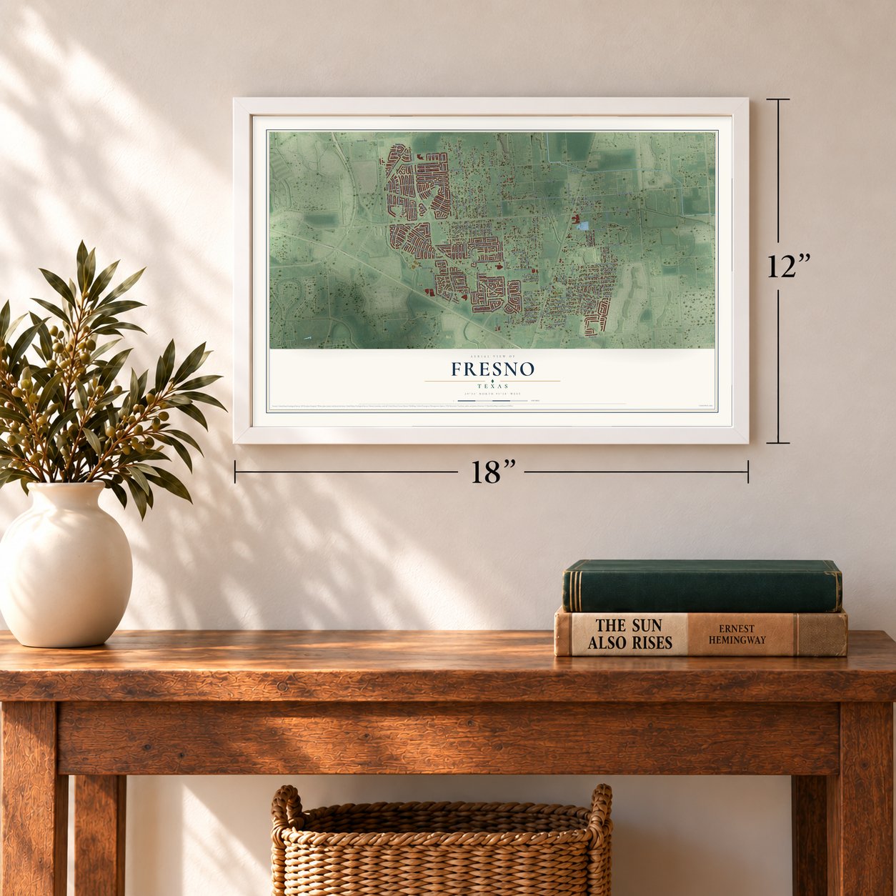
Fresno, Texas Map Art
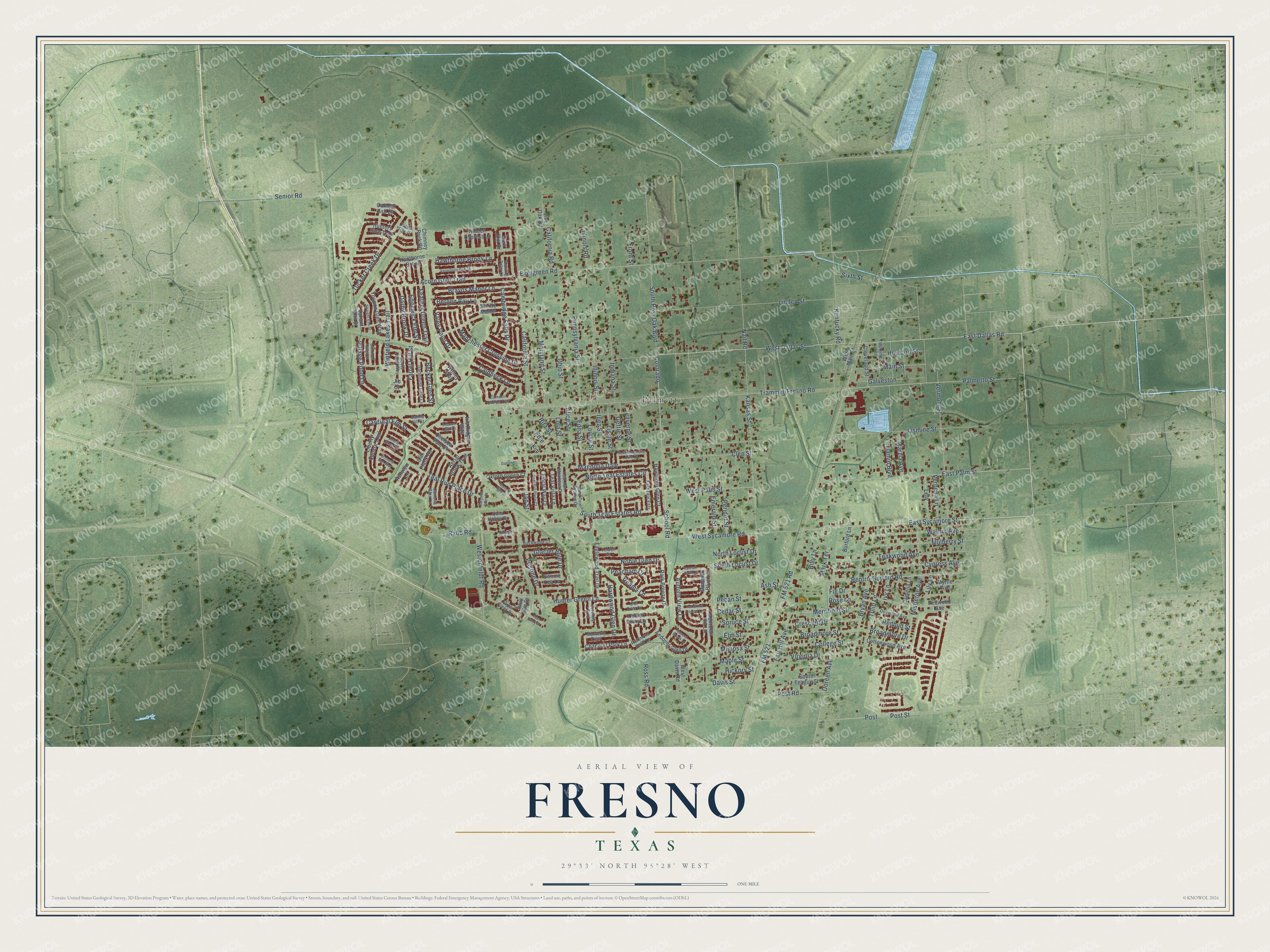
A new map of Fresno, Texas, made in 2026 and printed to order on thick archival matte paper.
12" x 18" Archival Matte Print
A Map of Home. A Work of Art.
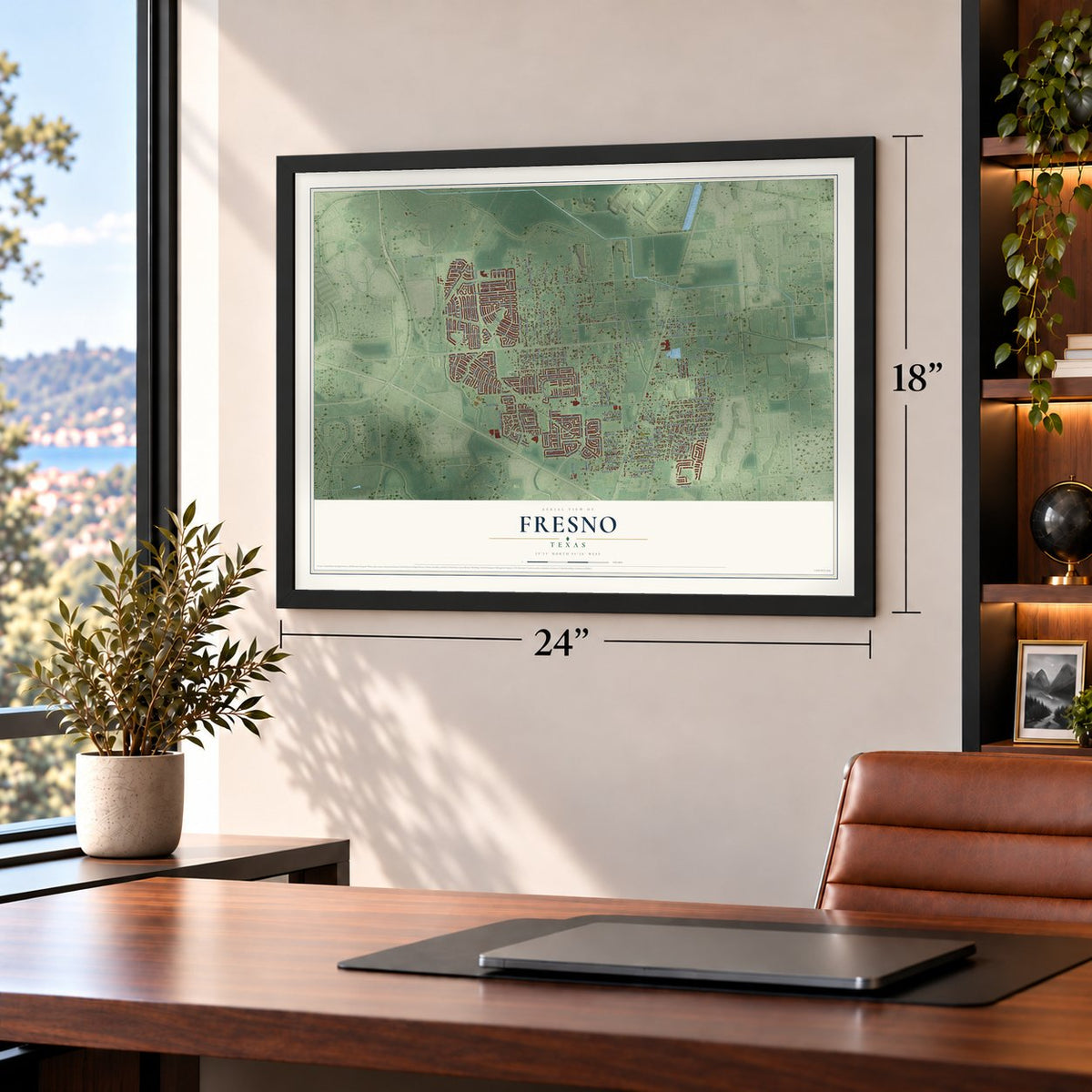
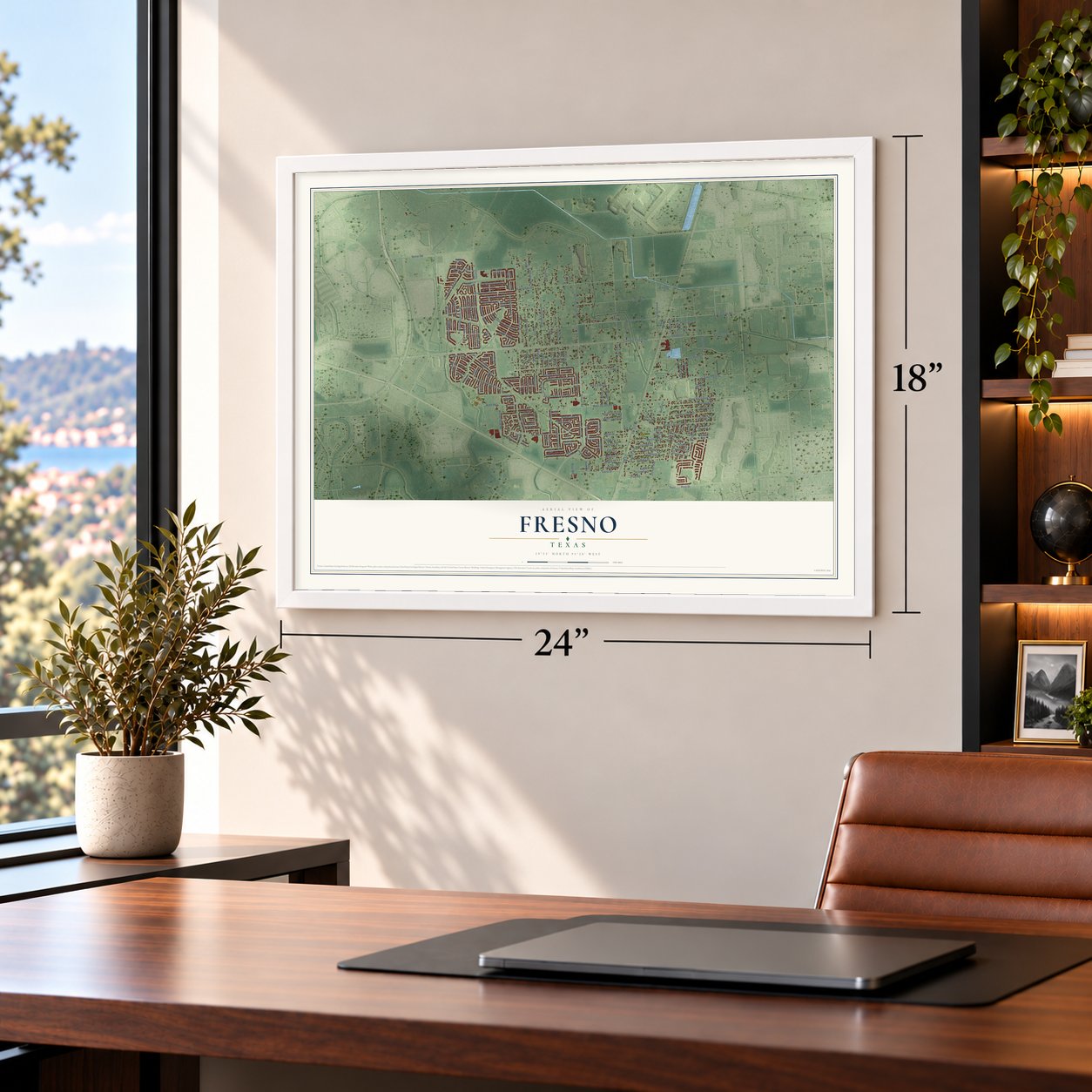
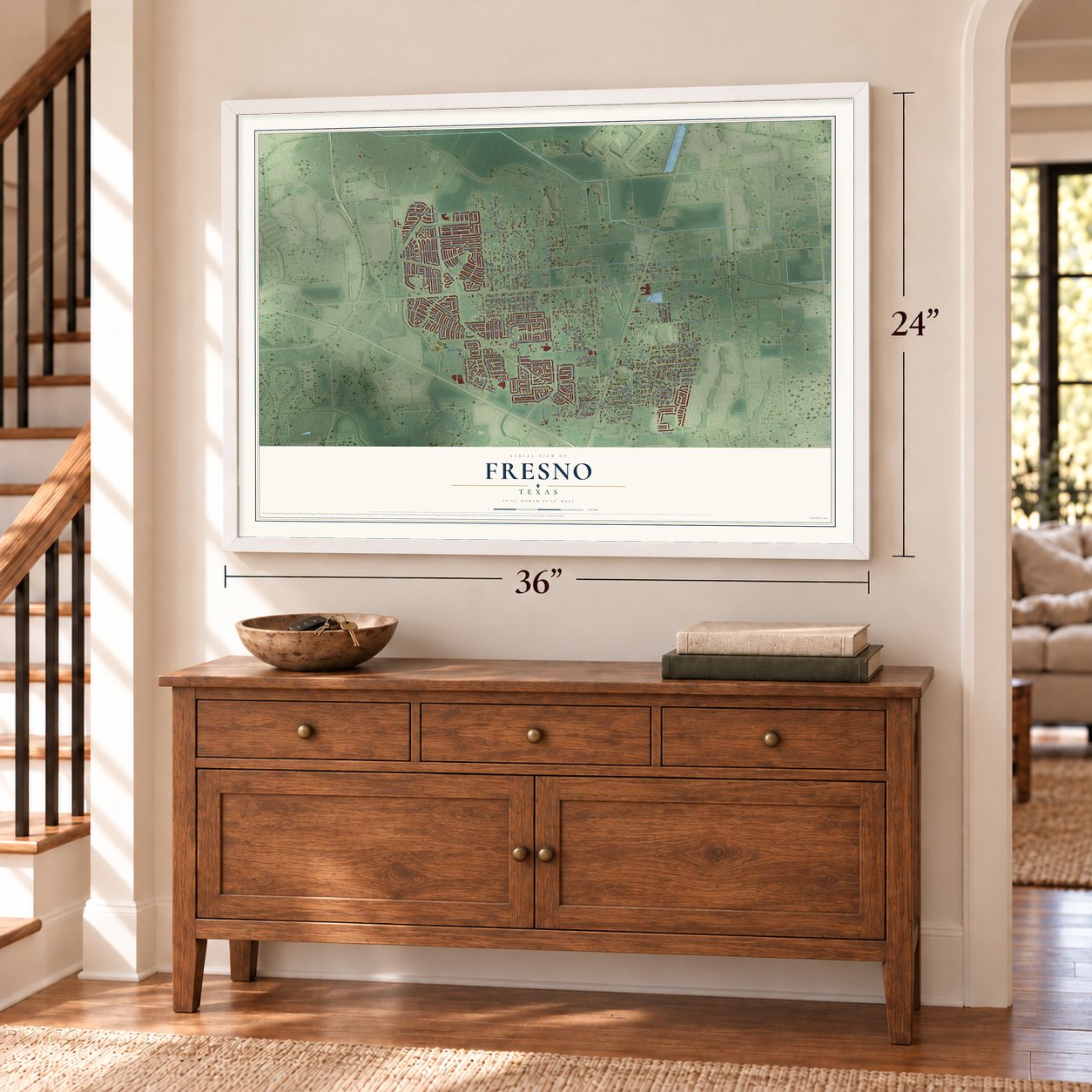
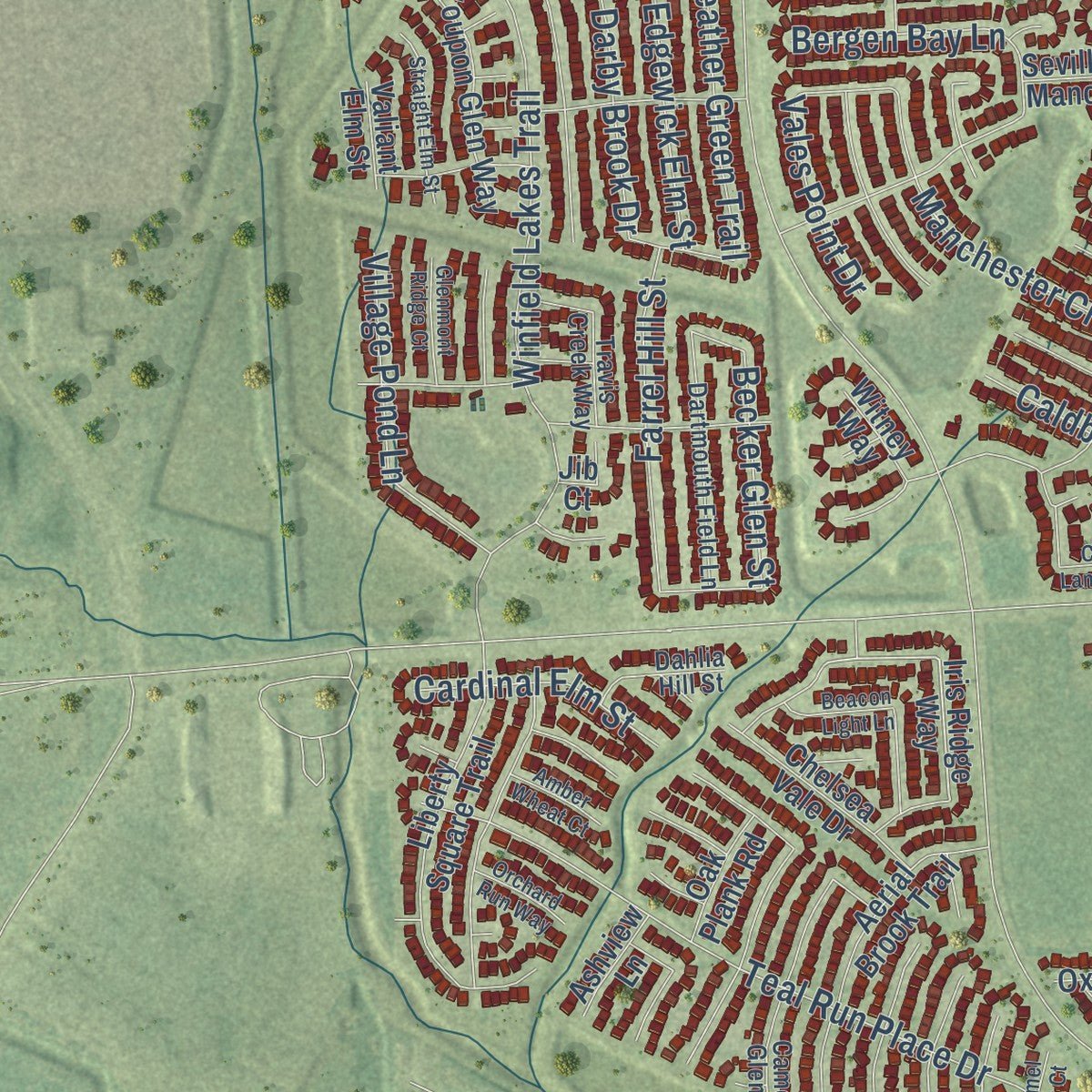
This beautifully detailed map of Fresno, Texas was created in 2026 using aerial imagery combined with modern topographical, census, street and landmark data. It's a modern aerial view of Fresno in Fort Bend County, Texas, that combines modern data with a vintage aesthetic. Zoom in on the preview and look for your block.
Three ways to hang it
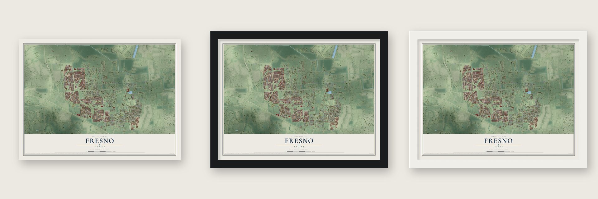
Unframed archival matte, a black wood frame or a white wood frame.
Up close
Real geography. Art worth displaying.
This map was created using accurate cartographic data and authoritative geographic sources, including the U.S. Geological Survey and the Census Bureau. The map brings together terrain, waterways, roads, and building detail. The majority of the streets are labeled, houses are accurately depicted, and the topography is derived from government sources. Combining local data with carefully composed color and shading leads to this beautifully detailed Fresno artwork for your wall.
Rather than simply showing street outlines, we’ve included as many of the street names as we could reasonably fit on the map while keeping their names legible. Zoom in on the high resolution preview to see exactly what’s on the map. We truly set out to create a statement piece for anyone who loves Fresno. So whether it’s for you, or a gift for someone you love, we hope this map of Fresno brings back fond memories.

About Fresno, Texas
Fresno is an unincorporated community and census-designated place in eastern Fort Bend County, south of Houston. Its population reached 24,486 in 2020, compared with 19,069 in 2010. Earlier records counted 32 residents in 1914 and 120 in 1970, followed by faster growth during the 1970s and 1980s as Houston expanded.
- California NamesakeThe community reportedly took its name from a settler who came from Fresno, California.
- Early ServicesBy 1914, Fresno had telephone service, a general store, a hardware store, and 32 residents.
- Regional SettingMissouri City lies west and northwest, Arcola south and southwest, and Pearland east of Fresno.
- Mustang Community CenterThe county's five-acre community center includes a baseball field, meeting room, two pavilions, play area, and walking trail.
- Local SchoolsSchool-age children attend Fort Bend Independent School District schools, with three elementary campuses located in Fresno.
Find your street
Names on the Fresno map
Every name below is printed on this map. Look for your street, your school, the park where you played, or the pond down the road.
Places and landmarks1
- Palmetto
Streets and roads198
- West Dallas Street
- East Dallas Road
- Renfro-Burford Road
- Billy Lane
- Colorado
- West Sycamore Road
- School Road
- Post Street
- East Sycamore Street
- Palmetto Street
- Hawthorne Brook Lane
- Pristine Drive
- South Post Oak Boulevard
- FM 521
- FM 521 Road
- Evergreen Road
- Trammel-Fresno Road
- Kansas Street
- Jasmine Street
- Teal Run Place Drive
- California Street
- Linden Street
- Hunter Green Lane
- Rabb Road
- East Palm Street
- Vermont Street
- Senior Road
- Winfield Lakes Trail
- Cambridge Falls Drive
- Broadmore Street
Show all 198 streets
- Nail Road
- Doreen Avenue
- Mistletoe Avenue
- Cypress Avenue
- Teakwood Avenue
- Jan Street
- Mulberry Street
- Walnut Avenue
- Rose Lane
- California Road
- Acorn Glen Trail
- Kentucky Road
- Ohio Street
- Pennsylvania Street
- Illinois Street
- West Palm Street
- Maryland Street
- Indiana Street
- Manchester Crossing Drive
- College Street
- Feather Green Trail
- Tulip Lane
- Bryan Avenue
- Galveston
- Auburn View Lane
- Bravos Manor Lane
- Virginia Drive
- Ivy Lane
- Westenfeldt Road
- Davis Street
- Main Street
- Crescent Drive
- Post Road
- Merrifield Street
- North Teal Estates Circle
- Village Pond Lane
- Houston Street
- Farrel Hill Street
- Noble Glen Drive
- South Teal Estates Road
- Tucker Creek Drive
- Pecan Street
- Hardwood Glen Drive
- Glacier Blue Drive
- Cleo Street
- Reams Lane
- Bergen Bay Lane
- Illinois Road
- Becker Glen Street
- Cedar Street
- Caldbeck Lane
- Fair Hill Avenue
- Edgewick Elm Street
- Darby Brook Drive
- Cardinal Elm Street
- Spruce Street
- Verbena Lane
- South Locust Drive
- Lilly
- Magnolia Dale
- Peridot Street
- Emerald Street
- North Locust Drive
- Elm Street
- Peacham Court
- Gettie Street
- Lissie Street
- Louise Street
- Alice Street
- Marzia Avenue
- Ross Road
- Mimosa Street
- Maple Street
- Redbud Street
- Broadmore Drive
- Vales Point Drive
- Edie
- Lola Street
- Edna Street
- Inez Street
- Hamid Boulevard
- Post
- Mark Terrace
- Lily Lane
- Laverne Street
- Rita Street
- Hickory Street
- Sixth Street
- Fig Drive
- Front Street
- Ash Street
- Hidden Cypress Lane
- Monarch Blue Lane
- Iris Ridge Way
- Hanthorne Brook
- Liberty Square Trail
- Redwood Avenue
- Aerial Brook Trail
- Chimney Rock Road
- Eaglewood Trail Drive
- Hawthorn Glen Court
- Youpon Glen Way
- Park Breeze Drive
- Chandler Park Lane
- Andover Glen Drive
- Cleveland Street
- Chelsea Vale Drive
- Cottonwood Avenue
- Oxford Green Court
- South Teague Street
- Montclair Hill Lane
- Seville Manor
- Teal Vista Lane
- Floral Way Court
- Oakleaf Ash Lane
- Live Oak Road
- Camelia Lane
- West Davis Road
- Collier Point Lane
- Twin Elm Drive
- Burford Lane
- Oak Plank Road
- Hunters Side Trail
- Myrtle Avenue
- Bonnie Lea Lane
- West Main Street
- Ashview Lane
- Kim
- Witney Way
- Valiant Elm Street
- Dark Elm Drive
- Jib Court
- Quiet Hollow Drive
- Camelia Glen Lane
- Dartmouth Field Lane
- Monterra Point
- Richmond Knoll Lane
- Dogwood Avenue
- East Teal Ests
- Teal Run Meadows Drive
- McKinley Avenue
- Travis Creek Way
- West Teal Estates Circle
- Buckwood Court
- Taylor Creek Drive
- Dahlia Hill Street
- Serenity Trail
- Tabor Mills Drive
- Owl Tree Court
- Flowing Palm Lane
- Yeldell Court
- North Magnolia Dale Drive
- Hannah Falls Lane
- Vermillion Oak Street
- Straight Elm Street
- Teal Run Place Court
- Cavern Brook Lane
- Yorkshire Hollow Lane
- Camden Landing Trail
- Norfolk Pine Street
- Glenmont Ridge Court
- Beacon Light Lane
- Orchard Run Way
- Amber Wheat Court
- Caramel Point Court
- Teal Bend Court
- Coretta Court
- Darlene
Names are listed as they appear on the printed map. Zoom into the product photos to find them.
The art of mapping a place
How This Map Was Made
Real places. Remarkable detail. Discover the layers that turn geographic data into a map of home.

The view from above
Aerial imagery reveals the character of the land: woodland, open fields, and the patterns of a place.

The shape of the land
Elevation data brings hills, valleys, and subtle changes in the landscape into view.

The details of home
Roads, waterways, and building footprints come together to make the map feel unmistakably local.

Geography becomes art
Considered color, shading, and typography bring the layers together in a map made for your wall.


Process illustrated with Mendon, Massachusetts. Aerial imagery: USDA NAIP. Terrain: USGS 3D Elevation Program. Map details and finished artwork: KNOWOL.
The Details
About This Print
Choose an archival matte print, or a black or white Ayous wood frame. The archival matte print is unframed.
Select your size and finish above to see the matching product image and price.
Materials & Craftsmanship
A contemporary map with the character of a classic atlas, printed on archival matte paper. Optional frames are made from Ayous wood.
Your printed map does not include the watermark shown in the full-map preview.
Shipping & Delivery
Free shipping within the United States. Every print is made to order in the USA.
Buying a gift? Add a note in your cart and we'll include it. We never put prices in the package.
Prints ship within 2 to 3 business days. Allow 7 to 10 days total from ordering for delivery. Timing may vary during holidays or periods of high order volume.
Read our shipping policy.
Returns and damaged prints
Each print is made to order. Change-of-mind refunds are not available after production.
If your print arrives damaged, misprinted or incorrect, contact support@knowol.com within 30 days of receiving it. Include your order number, photos and a description of the issue.
Read our full refund and replacement policy. For questions about your order, email support@knowol.com.
Find your town
Looking for another city?
Find a map of home in our Texas collection.
Nearby
Maps of towns near Fresno
Know someone from one of these towns? Their map makes a great gift.
 Arcola
, Texas
From $39.99See the map
 Sienna
, Texas
From $39.99See the map
 Missouri City
, Texas
From $39.99See the map
More maps nearby: Fifth Street, Manvel, Iowa Colony, Stafford and Pearland.