
Search for another town
Free U.S. delivery 7 to 10 days after you order
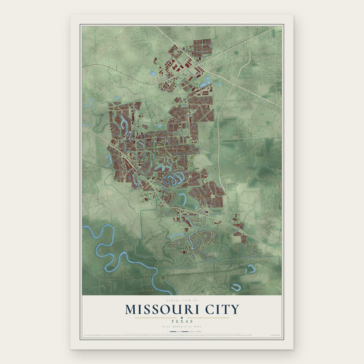
Missouri City, Texas Map Art
Building by building, with labeled streets and shaded relief.
12" x 18" Archival Matte Print
A Map of Home. A Work of Art.
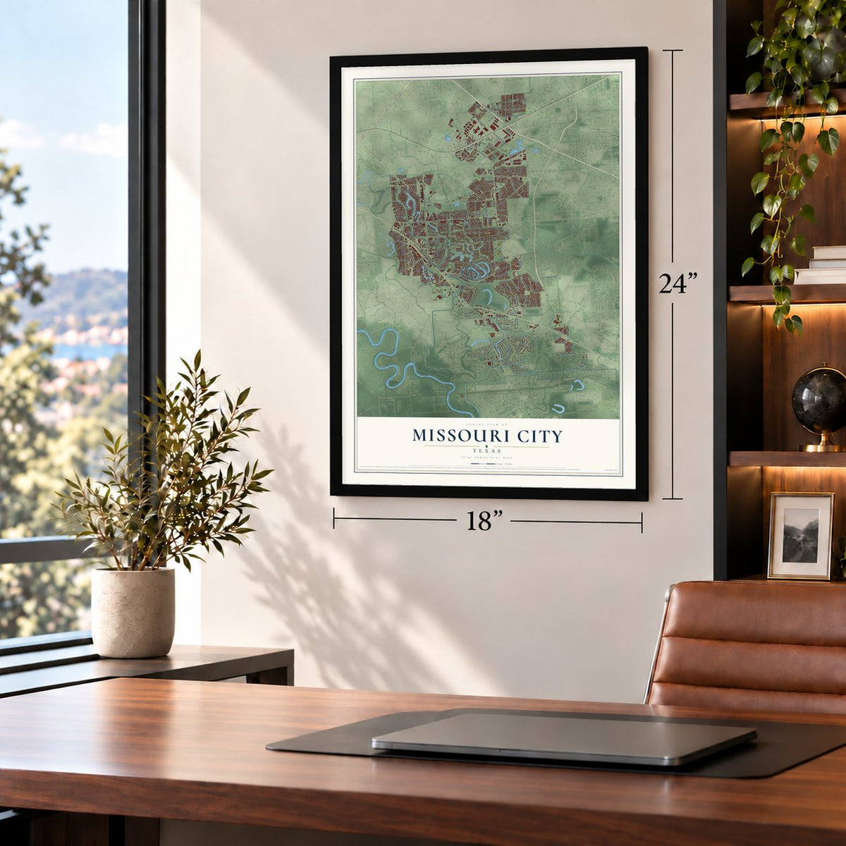
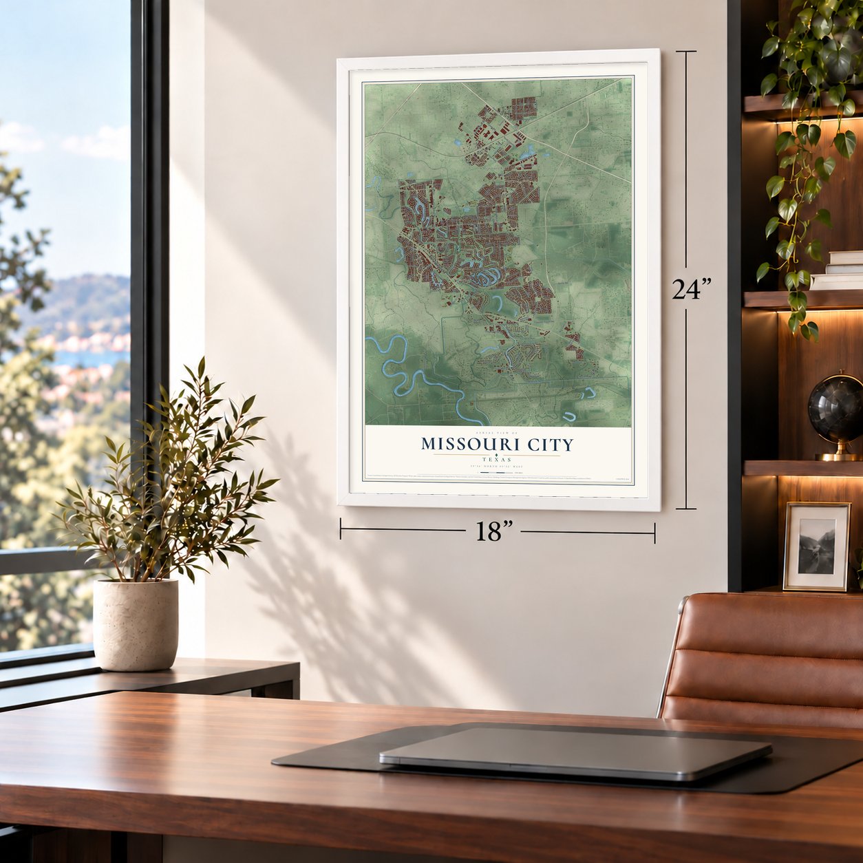
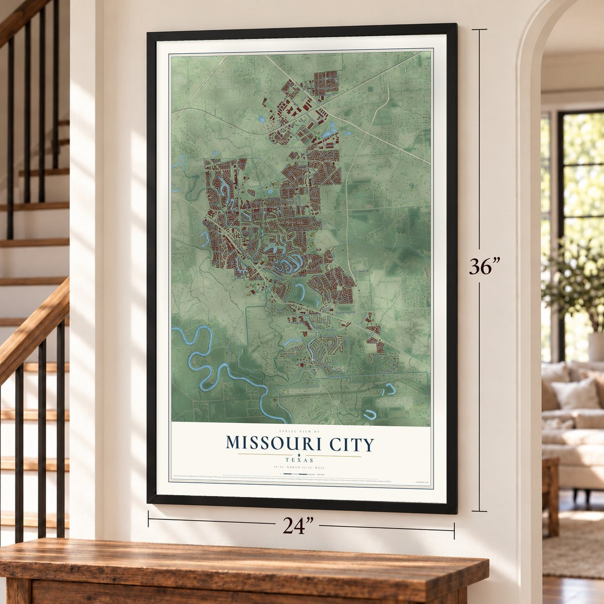
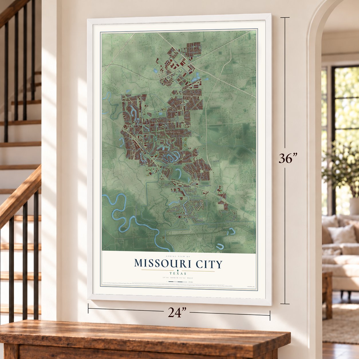
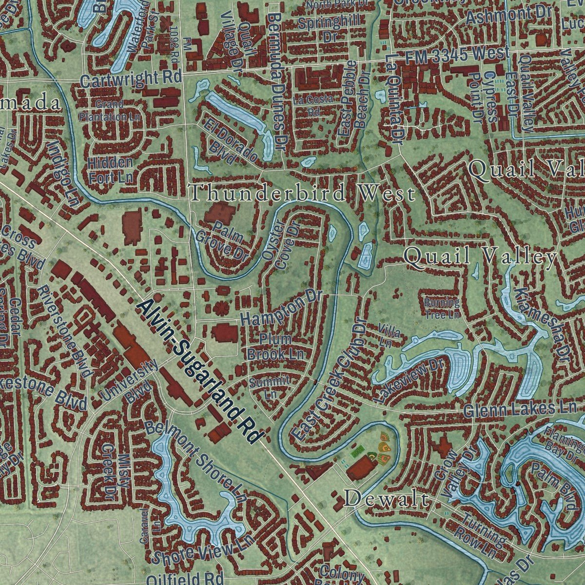
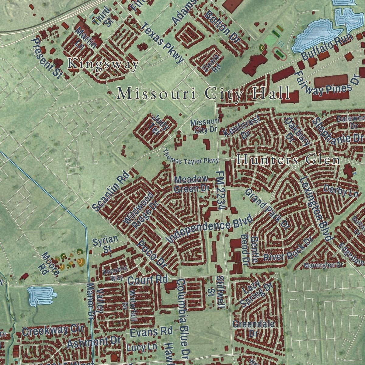
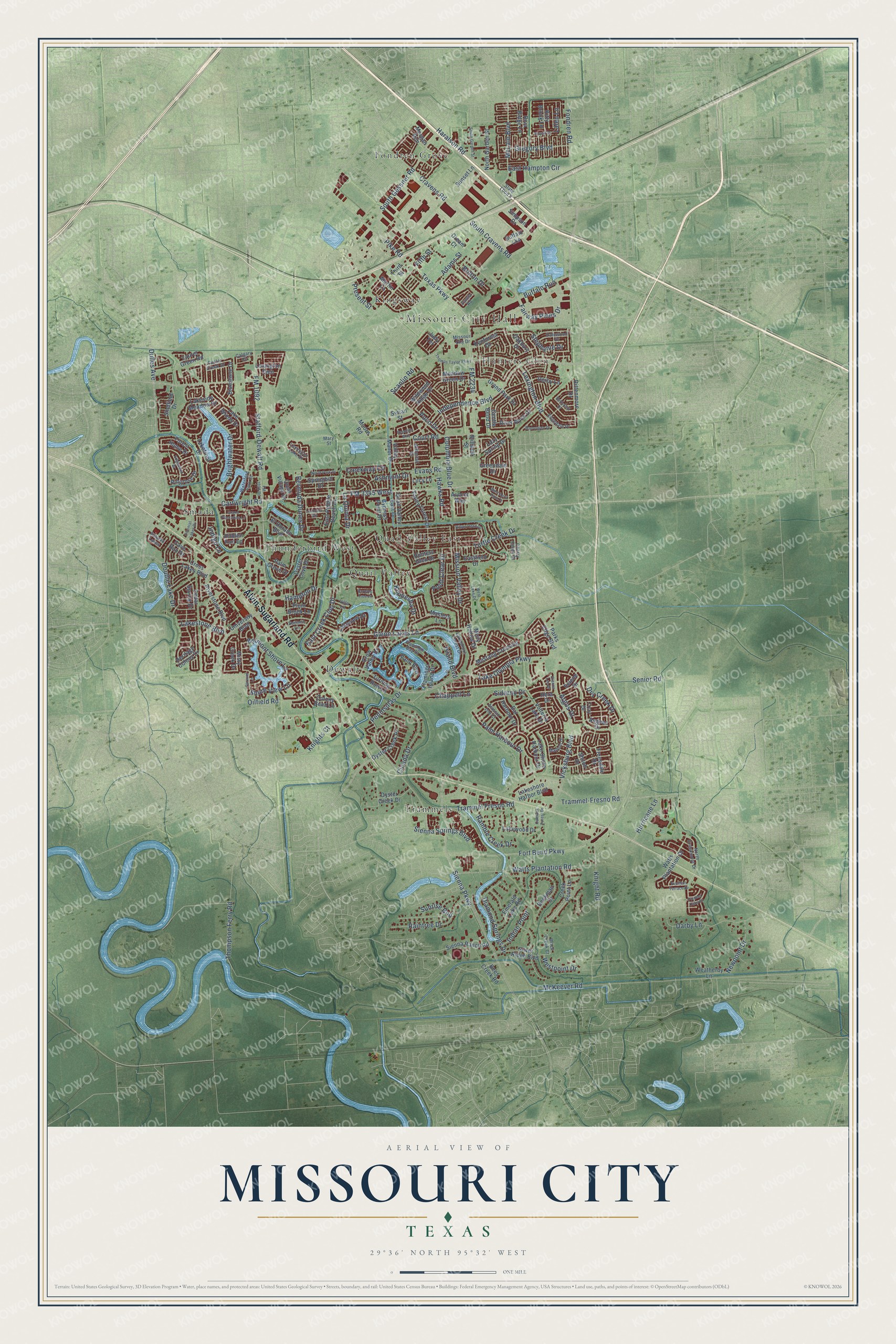
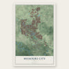
Explore Missouri City, Texas from a whole new perspective. Created using aerial imagery and detailed geographic data, this map captures Missouri City building by building, with labeled streets, familiar landmarks, and shaded topographical relief that highlights the natural contours of the landscape.
Combining modern data with the timeless character of a vintage atlas, this map is just as interesting up close as it is beautiful on the wall. Whether you grew up in Missouri City, spent memorable years there, or call it home today, this unique map is a great way to celebrate a place that means something to you. Zoom in on the preview to look for your street, and then order a print to put your memories on the wall.
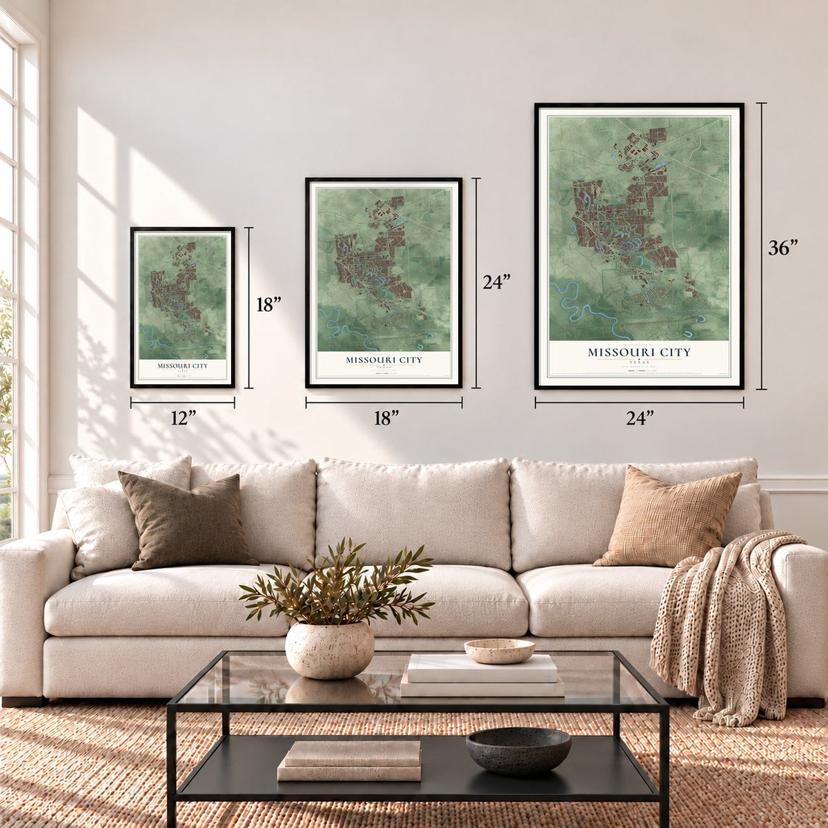
Three ways to hang it
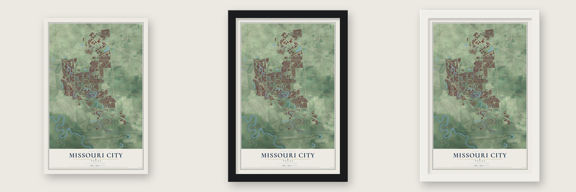
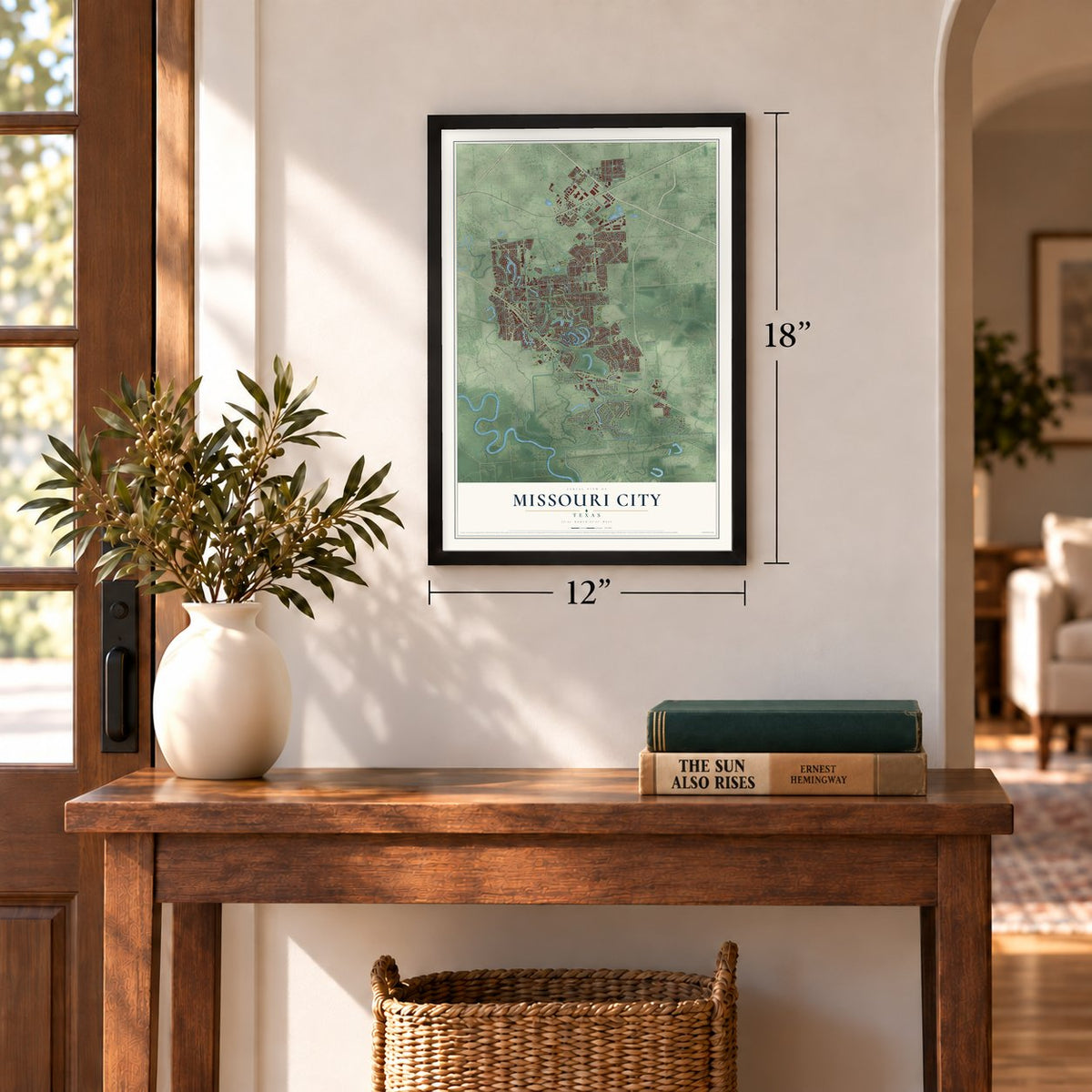
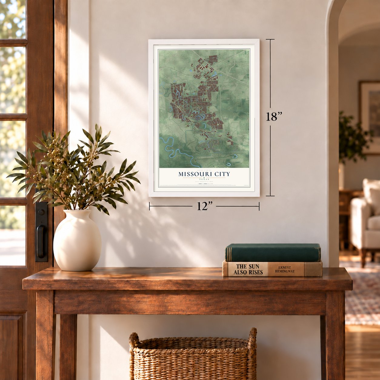
Unframed archival matte, a black wood frame or a white wood frame.
Up close
Geography Worth Displaying
This map was created using accurate cartographic data and authoritative geographic sources, including the U.S. Geological Survey and the Census Bureau. The map brings together terrain, waterways, roads, and building detail. The majority of the streets are labeled, houses are accurately depicted, and the topography is derived from government sources. Combining local data with carefully composed color and shading leads to this beautifully detailed Missouri City artwork for your wall.
Rather than simply showing street outlines, we’ve included as many of the street names as we could reasonably fit on the map while keeping their names legible. Zoom in on the high resolution preview to see exactly what’s on the map. We truly set out to create a statement piece for anyone who loves Missouri City. So whether it’s for you, or a gift for someone you love, we hope this map of Missouri City brings back fond memories.
Read the story behind this map of Missouri City, Texas from 2026.
Find your street
Names on the Missouri City map
Every name below is printed on this map. Look for your street, your school, the park where you played, or the pond down the road.
Places and landmarks10
- Missouri City Hall
- Dewalt
- Fondren Grove
- Hunters Glen
- Kingsway
- Quail Valley
- Quail Valley East
- Smada
- Thunderbird West
- Trammels
Streets and roads211
- Alvin-Sugarland Road
- Fort Bend Parkway
- La Quinta Drive
- Fondren Road
- Cartwright Road
- Sienna Parkway
- Independence Boulevard
- Lake Olympia Parkway
- Lexington Boulevard
- Glenn Lakes Lane
- FM 2234
- Texas Parkway
- Vicksburg Boulevard
- FM 1092
- Stafford-Dewalt Road
- Thompson Ferry Road
- Turtle Creek Drive
- Peninsulas Drive
- FM 3345 West
- Pike Road
- Brightwater Drive
- Watts Plantation Road
- Trammel-Fresno Road
- Fifth Street
- Hampton Drive
- Columbia Blue Drive
- McKeever Road
- Buffalo Run
- Knight Road
- Haralson Road
Show all 211 streets
- South Gessner Road
- Adams Street
- Mission Valley Drive
- Double Lake Drive
- Darby Lane
- Court Road
- Diamond Springs Drive
- Oilfield Road
- Trammel Fresno Road
- Cicada Drive
- Palm Harbour Drive
- Raintree Drive
- Point Clear Drive
- Scanlin Road
- Cravens Road
- Knights Court
- McLain Boulevard
- Fairway Pines Drive
- Argos Drive
- Belmont Shore Lane
- Senior Road
- Ashmont Drive
- Gregory Boulevard
- Sienna Springs Boulevard
- East Creek Club Drive
- East Hampton Circle
- Ramble Creek Drive
- Bermuda Dunes Drive
- South Cravens Road
- Dry Creek Drive
- Siderno Drive
- Newpoint Drive
- Island Boulevard
- Shore View Lane
- Hurricane Lane
- Creekway Circle
- Lakestone Boulevard
- Hawks Road
- Kiamesha Drive
- Indian Point
- Chappell Lane
- Westpoint Drive
- Present Street
- Stephanie Drive
- Evans Road
- Sunrise Bnd
- Bolton Drive
- Dulles Avenue
- Indigo Lane
- Laleu Lane
- Poco Drive
- Quail Valley East Drive
- Lakeshore Harbor Boulevard
- Grand Park Drive
- Crow Valley Drive
- Sienna Ranch Road
- Cross Lakes Boulevard
- Beekman Drive
- Watts Plantation Drive
- El Dorado Boulevard
- Cypress Point Drive
- Masters Lane
- University Boulevard
- Oyster Creek Place
- Creek Point Lane
- Riverstone Boulevard
- Gentle Bend Drive
- Valley Forest Drive
- Truesdale Drive
- Lake Shore Harbour Drive
- Flamingo Island Drive
- Silver Ridge Boulevard
- Hunters Glen Drive
- Lakeside Meadow Drive
- Oyster Cove Drive
- Kenforest Drive
- Misty Hollow Drive
- Sheffield Drive
- Palm Boulevard
- Martin Lane
- Heritage Colony Drive
- Laurel Green Road
- Mustang Crossing
- Lake Winds Drive
- Ringrose Drive
- North Garden Street
- Volterra Lake Drive
- Bal Harbour Drive
- Morgan Run
- River Rock Drive
- Bluestone Drive
- Rittenmore Drive
- Buffalo Lks
- Selene Drive
- Emerald Lake Road
- Meadow Green Drive
- Lakewood Drive
- Valley Manor Drive
- Parks Edge Boulevard
- Turning Row Lane
- Weatherby Lane
- Oyster Creek Drive
- Eastfield Drive
- Wildwood Ridge Drive
- Riva Ridge Lane
- Misty Creek Drive
- East Pebble Beach Drive
- Third Street
- Lakeview Drive
- Derby Lane
- Forest Home Drive
- Kitty Brook Lane
- Lakefront Drive
- Palm Grove Drive
- Simpson Drive
- Greendale Drive
- Colony Bend Lane
- Springhill Drive
- Bees Creek Road
- Plum Brook Lane
- Cedar Spring Drive
- Lazy Spring Drive
- Quail Village Drive
- Sunset Lane
- Avocet Way
- Lucy Lane
- Shiloh Drive
- Lexington Cmn
- Oakbury Drive
- Cave Run Drive
- Moore Road
- Dream Court
- Stillwell Street
- Aegean Drive
- Hidden Fort Lane
- Syrian Street
- Hera Drive
- Judy Terrace
- Troy Drive
- Zinnia Road
- North Creekmont Drive
- Lakeshore Forest Drive
- Edgedale Drive
- Waterfall Drive
- Cherry Creek Drive
- Flamingo Bay Drive
- Dalewood Drive
- Manion Drive
- Custer Creek Drive
- Waterford Park Street
- Missouri City Drive
- Lexington Lake Drive
- Black Creek Court
- Alassio Isle Court
- Autumn Lakes
- Calgary Circle
- Summit Lane
- State Loop 8
- Villa Lane
- Mary Street
- Republic Way
- Hilton Head Drive
- Colonial Lakes Drive
- La Costa Road
- Thomas Taylor Parkway
- Oakwick Forest Drive
- South Garden Street
- Grand Plantation Lane
- Everhart Terrace Drive
- Edgewood Drive
- North Park Drive
- Manorglen Drive
- Buttonhill Drive
- West Lake Drive
- FM 1092 Road
- West April Rain Court
- Pioneer Oaks Drive
- Royan Drive
- Caravel Lane
- Burning Tree Lane
- Dianna Lee Drive
Names are listed as they appear on the printed map. Zoom into the product photos to find them.
About Missouri City, Texas
Missouri City is a city of 74,259 people, mostly in Fort Bend County with a small part in Harris County, southwest of Houston. In 1890 two Houston land investors, R. M. Cash and L. E. Luckle, bought four square miles here. They ran ads in and around St. Louis that promised buyers "genial sunshine and eternal summer." W. R. McElroy bought 80 acres nearby three years later, in 1893. He wanted to build on those ads and sell land to people in St. Louis, so he named his new town Missouri City.
The town was registered with Texas in 1894, but its first families came from near Arlington, Texas. On February 14, 1895, soon after they arrived, a blizzard struck, and some settlers gave up and left. The rest stayed and made a living farming and ranching. A blacksmith shop was the first business. A post office opened inside a general store in 1897, and a depot followed in 1902. Trains carried local cotton, corn, cattle and sugarcane to market.
- On Texas's first railroadTexas's first working railroad, the Buffalo Bayou, Brazos and Colorado Railway, began running trains in August 1853 on 20 miles of track from Harrisburg to Stafford's Point. The line crossed ground that is now the north side of Missouri City. In 1883 it joined its eastern partner to finish the Sunset Route between Los Angeles and New Orleans.
- Natural gas first, in 1926Oil turned up at Blue Ridge, southeast of town, in 1919, and a salt mine opened there soon after. Missouri City became the rail shipping point for both. Natural gas was found at the same spot in 1925. A pipeline went in the following year, and Missouri City was the first town anywhere in Fort Bend County to use the gas.
- Incorporated in 1956For decades the town stayed small, with about 100 people from 1904 to 1960. Rumors spread that Houston might annex it, and town leaders hurried to form a government. Missouri City was incorporated on March 13, 1956, and voters chose a mayor and five councilmen. It grew to 4,500 people by 1970 and 24,533 by 1982.
- A model city in 2000In the 1980s many middle-class African American families, most of them buying their first homes, settled in Missouri City's new subdivisions. Black Entertainment Television named it a model city for middle-class African Americans in 2000. In 2018 Yolanda Ford became the city's first Black mayor and its first woman mayor.
Keep exploring Texas
Missouri City is one of 2,049 Texas towns we've mapped. Every dot on the map is a print of its own.
The search covers every state, Texas first.
Near Missouri City
Order 2 or more town maps and save 10%. Shown in the size and finish you picked above, so they hang as a set.
- Fifth Street 12" x 18" / Archival Matte Print $39.99
- Fresno 12" x 18" / Archival Matte Print $39.99
- Stafford 12" x 18" / Archival Matte Print $39.99


More maps nearby: Sienna, Arcola, Sugar Land, Meadows Place and Thompsons.
The art of mapping a place
How This Map Was Made
Real places. Remarkable detail. Discover the layers that turn geographic data into a map of home.

The view from above
Aerial imagery reveals the character of the land: woodland, open fields, and the patterns of a place.

The shape of the land
Elevation data brings hills, valleys, and subtle changes in the landscape into view.

The details of home
Roads, waterways, and building footprints come together to make the map feel unmistakably local.

Geography becomes art
Considered color, shading, and typography bring the layers together in a map made for your wall.


Process illustrated with Mendon, Massachusetts. Aerial imagery: USDA NAIP. Terrain: USGS 3D Elevation Program. Map details and finished artwork: KNOWOL.
The Details
About This Print
Choose an archival matte print, or a black or white Ayous wood frame. The archival matte print is unframed.
Select your size and finish above to see the matching product image and price.
Materials & Craftsmanship
A contemporary map with the character of a classic atlas, printed on archival matte paper. Optional frames are made from Ayous wood.
Your printed map does not include the watermark shown in the full-map preview.
Shipping & Delivery
Free shipping within the United States. Every print is made to order in the USA.
Buying a gift? Add a note in your cart and we'll include it. We never put prices in the package.
Prints ship within 2 to 3 business days. Allow 7 to 10 days total from ordering for delivery. Timing may vary during holidays or periods of high order volume.
Read our shipping policy.
Returns and damaged prints
Each print is made to order. Change-of-mind refunds are not available after production.
If your print arrives damaged, misprinted or incorrect, contact support@knowol.com within 30 days of receiving it. Include your order number, photos and a description of the issue.
Read our full refund and replacement policy. For questions about your order, email support@knowol.com.