
Search for another town





Free U.S. delivery 7 to 10 days after you order
Dix Hills, New York Map Art
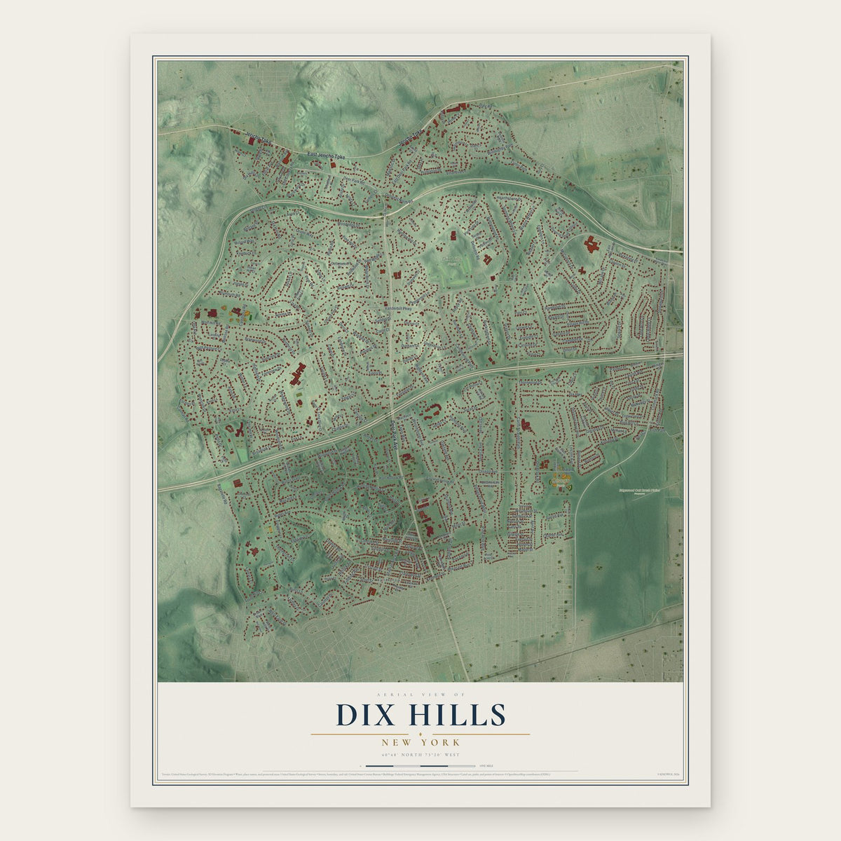
A new map of Dix Hills, New York, made in 2026 and printed to order on thick archival matte paper.
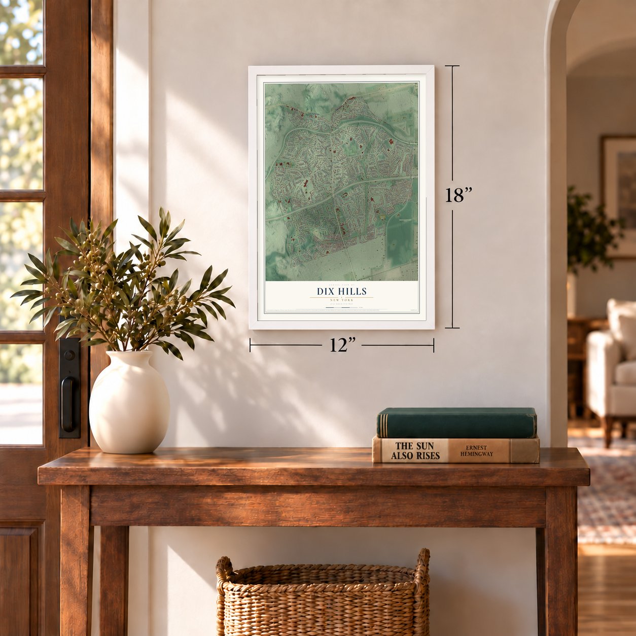
12" x 18" Archival Matte Print
A Map of Home. A Work of Art.
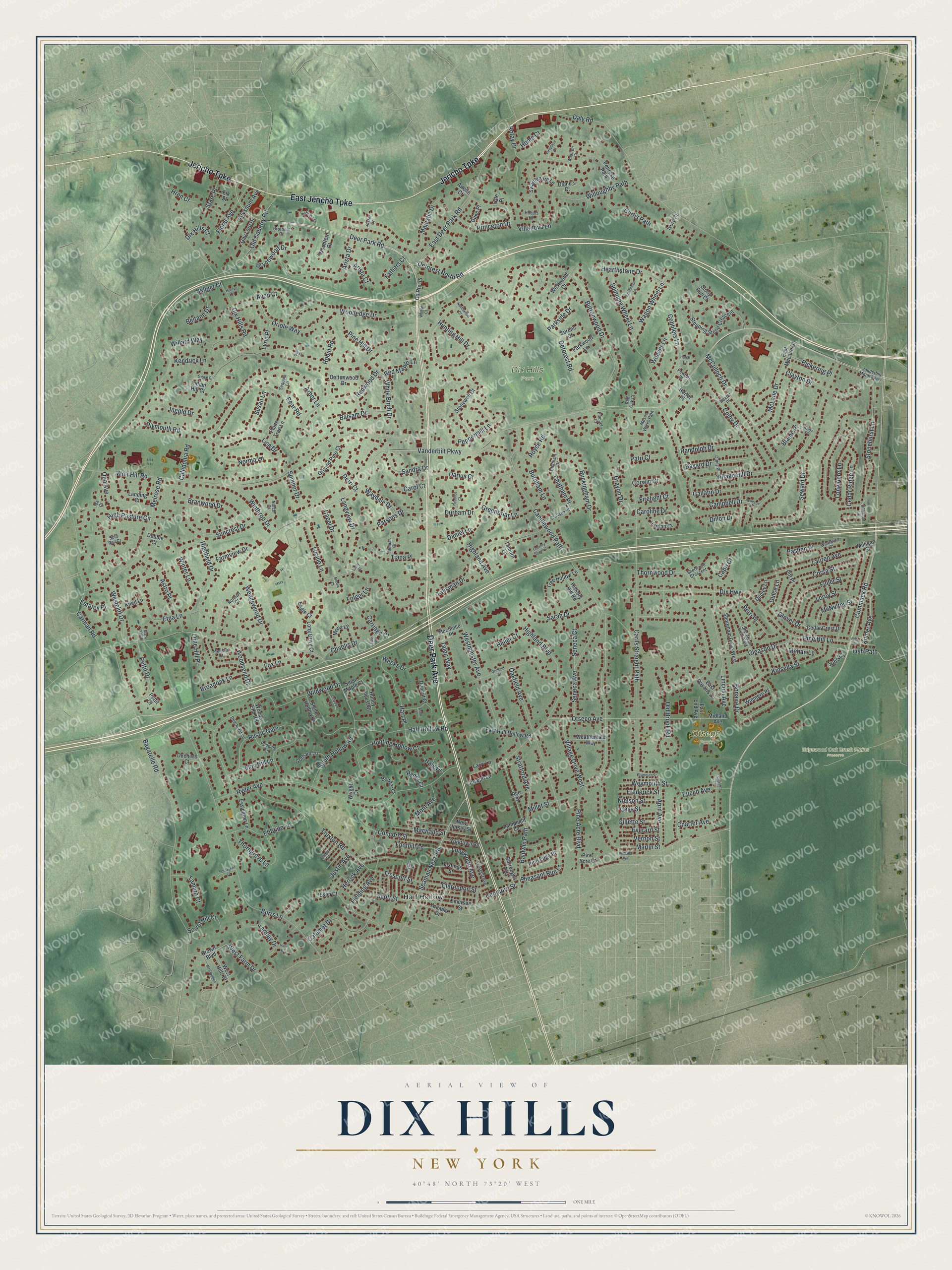
Explore Dix Hills, New York from a whole new perspective. Created using aerial imagery and detailed geographic data, this map captures Dix Hills building by building, with labeled streets, familiar landmarks, and shaded topographical relief that highlights the natural contours of the landscape.
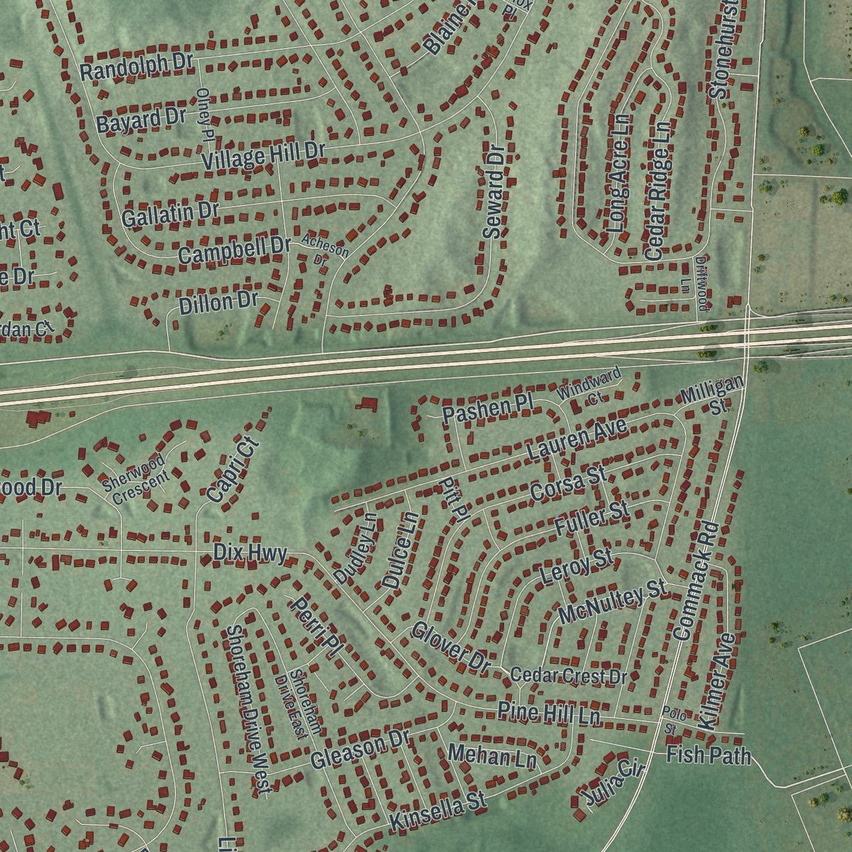
Combining modern data with the timeless character of a vintage atlas, this map is just as interesting up close as it is beautiful on the wall. Whether you grew up in Dix Hills, spent memorable years there, or call it home today, this unique map is a great way to celebrate a place that means something to you. Zoom in on the preview to look for your street, and then order a print to put your memories on the wall.
Three ways to hang it
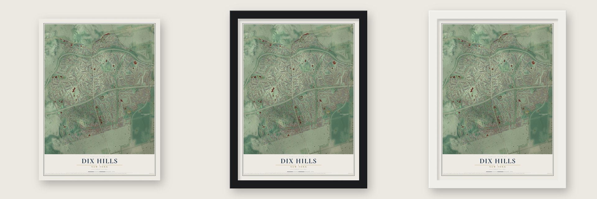
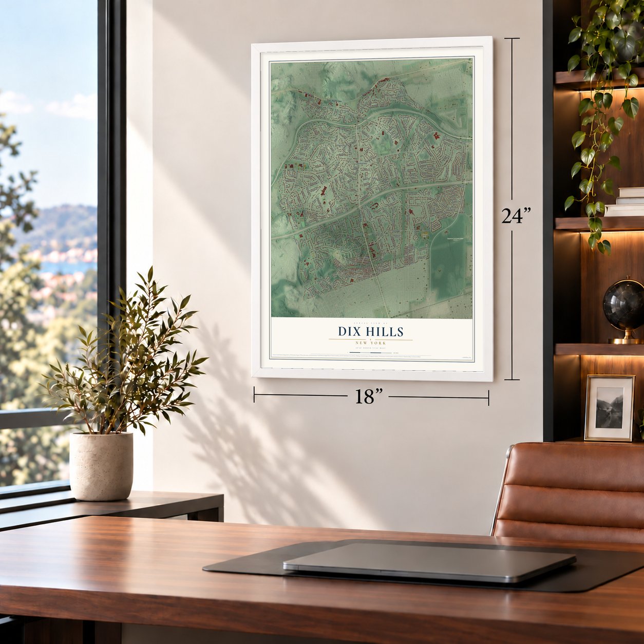
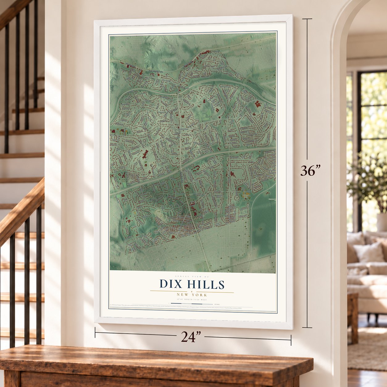
Unframed archival matte, a black wood frame or a white wood frame.
Up close
Geography Worth Displaying
This map was created using accurate cartographic data and authoritative geographic sources, including the U.S. Geological Survey (USGS) and FEMA. The map brings together terrain, waterways, roads, and building detail. The majority of the streets are labeled, houses are accurately depicted, and the topography is derived from government sources. Combining local data with carefully composed color and shading leads to this beautifully detailed Dix Hills artwork for your wall.
Rather than simply showing street outlines, we’ve included as many of the street names as we could reasonably fit on the map while keeping their names legible. Zoom in on the high resolution preview to see exactly what’s on the map. We truly set out to create a statement piece for anyone who loves Dix Hills. So whether it’s for you, or a gift for someone you love, we hope this map of Dix Hills brings back fond memories.
Explore the full map of Dix Hills, New York and read about the local places it shows.

Find your street
Names on the Dix Hills map
Every name below is printed on this map. Look for your street, your school, the park where you played, or the pond down the road.
Places and landmarks4
- Half Hollow
- Dix Hills Park
- Edgewood Oak Brush Plains Preserve
- Otsego Park
Streets and roads335
- Jericho Turnpike
- East Jericho Turnpike
- Deer Park Avenue
- Deer Park Road
- Candlewood Path
- Pettit Drive
- Vanderbilt Parkway
- Commack Road
- Carlls Straight Path
- Half Hollow Road
- Bagatelle Road
- Burrs Lane
- Wolf Hill Road
- Caledonia Road
- Village Hill Drive
- Ryder Avenue
- Millet Street
- Seaman Neck Road
- Old Brook Road
- Deforest Road
- Daly Road
- Stonehurst Lane
- Buttonwood Drive
- Dix Hills Road
- Wildwood Drive
- McCulloch Drive
- Westminster Avenue
- Hearthstone Drive
- Hunting Hill Drive
- Arbor Lane
Show all 335 streets
- Landview Drive
- Truxton Road
- East Deer Park Road
- Randolph Drive
- Carman Road
- Talisman Drive
- Colby Drive
- Rustic Gate
- Otsego Avenue
- Lauren Avenue
- Melrose Road
- Wagon Wheel Lane
- Oakfield Avenue
- Villanova Lane
- Woodedge Drive
- Majestic Drive
- Hunting Hollow Court
- Baldwin Path
- Cedar Ridge Lane
- Suncrest Drive
- Old Country Road
- Arista Drive
- Pine Hill Lane
- Kendrick Lane
- Lincoln Avenue
- Marlin Street
- Fox Lane
- Dix Highway
- Seneca Avenue
- Rofay Drive
- Etna Lane
- Maryland Street
- Kinsella Street
- Oriole Way
- Seward Drive
- Lisa Drive
- Cobblers Lane
- Balsam Drive
- Highfield Drive
- Bonaire Drive
- High Pasture Circle
- Corsa Street
- Euclid Avenue
- Lucille Lane
- Redwood Drive
- Astro Place
- Durham Drive
- Campbell Drive
- Concord Street
- White Birch Drive
- Thorngrove Lane
- Ebbtide Lane
- Highland Boulevard
- Buckingham Drive
- Fuller Street
- Chatham Place
- Ingold Drive
- Thornwood Drive
- Gallatin Drive
- West Farm Drive
- Willoughby Path
- Sarah Drive
- Calumet Drive
- Fielding Avenue
- Scott Street
- Clayton Drive
- Hart Place
- Parsons Drive
- Sellger Court
- Winter Lane
- Pine Acre Boulevard
- Norma Lane
- Gleason Drive
- Peppermill Lane
- South Hollow Road
- Clarendon Street
- April Avenue
- Bayard Drive
- Village Drive West
- Pheasant Run Lane
- McNultey Street
- Weymouth Street
- Charter Avenue
- Spinning Wheel Lane
- Alyssum Avenue
- Brycewood Drive
- Trescott Street
- Leroy Street
- Branwood Drive
- Willard Way
- Westcliff Drive
- McLane Drive
- Curtis Path
- Wedgewood Drive
- Mont Avenue
- Deforest North Road
- Susan Lane
- Tiana Place
- Princeton Drive
- Winthrop Drive
- Capel Drive
- Long Acre Lane
- Yardley Drive
- Royce Road
- Sandra Drive
- Floral Avenue
- Chablis Drive
- Perri Place
- Kilmer Avenue
- Pine Hill Drive
- Longworth Avenue
- Greenbriar Lane
- Pear Road
- Glover Drive
- Farmview Drive
- Pashen Place
- Broadoak Lane
- Parkside Drive
- Burnham Lane
- Pickering Place
- Fish Path
- Darius Court
- Robin Road
- Foothill Lane
- Weeks Drive
- Tamara Court
- Beltane Drive
- Sorrel Hill Court
- Waydale Drive
- Dillon Drive
- Seneca Court
- State Place
- Highland Avenue
- Stratford Avenue
- Weaver Lane
- Daniel Lane
- Plymouth Road
- Talon Way
- Woodsend Drive
- Grayon Drive
- Cass Street
- Nielson Street
- Frederick Street
- Vernon Street
- Everard Street
- Gillette Street
- Red Maple Lane
- Dulce Lane
- Kenmore Street
- Capri Court
- Estates Place
- Caroline Drive
- Blaine Place
- Somner Drive
- Folger Lane
- Carol Court
- Patri Court
- Firelight Court
- May Hill Lane
- Avon Court
- Carriage Court
- Arista Court
- Dix Hills Court
- Hren Court
- Heller Court
- Herrick Avenue
- Fathers Court
- Lone Hill Place
- Corwin Court
- Justin Avenue
- Mehan Lane
- Lyric Place
- Ona Avenue
- Home Court
- Haig Drive
- Julia Circle
- Ryder Court
- Derri Court
- County Route 35
- Stonywell Court
- Swarthmore Lane
- Brown Boulevard
- Stepping Stone Crescent
- Sleepy Hollow Lane
- Tree Hollow Lane
- Shoreham Drive West
- New Jersey Street
- Long Drive Court
- Arcadia Drive
- Plane Tree Lane
- East Half Hollow Road
- Dupont Court
- Ground Pine Court
- Landing Court
- Joseph Lane
- Parkwood Lane
- Hastings Street
- Gay Lore Drive
- Pine Edge Place
- Cottonwood Drive
- Weathervale Way
- Penrose Path
- Essington Lane
- Ibsen Court
- Woods End Road
- Cedar Crest Drive
- Yorktown Road
- Winmere Place
- Emerson Street
- Hickory Hill Road
- Gorham Lane
- Honey Locust Court
- Larry Lane
- Mona Lane
- Jordan Court
- Macniece Place
- West Hills Place
- East McLane Drive
- Burroughs Avenue
- Lamplight Lane
- East Dosoris Lane
- Sugar Maple Court
- Westwood Court
- Midland Avenue
- Dudley Lane
- Knell Lane
- Bender Court
- Woodfern Court
- Duke Place
- Stony Run Court
- Diane's Court
- Milligan Street
- Duchess Court
- Elk Street
- East End Avenue
- Indian Hill Court
- Eagle Court
- Pine Acre Court
- Rye Street
- Serene Court
- Ivory Court
- Talburn Lane
- Debbie Court
- Herter Place
- Wright Drive
- Arielle Court
- Pitt Place
- Pettit Court
- Yale Place
- Shoreham Drive East
- Chatham Drive
- Vanderbilt Motor Parkway
- Chelsea Place
- Moses Wicks Path
- Prescott Avenue
- Norman Court
- Sherwood Crescent
- Knox Place
- Olney Place
- Pewter Place
- Pudding Lane
- Deerhurst Lane
- Sabrina Court
- Notch Court
- Lamb Place
- Memas Court
- Windward Court
- Brothers Court
- Sequoia Lane
- Pinnacle Court
- Byron Place
- Melissa Court
- Andiron Court
- Red Oak Court
- Hobart Court
- Dexter Place
- Split Rail Court
- Jester Court
- Ida Court
- Ormond Street
- Sturbridge Lane
- McCrodden
- Country Squire Court
- Polo Street
- Croydon Court
- Plymouth Street
- Beatrice Court
- Micole Court
- Driftwood Lane
- Soulagnet Court
- Northwood Court
- Acheson Drive
- Priscilla Avenue
- Fireplace Court
- Signal Court
- Walton Court
- Ford Place
- Charter Court
- Black Oak Court
- View Court
- Hunter Court
- Hutch Court
- Kirby Court
- Astor Court
- Stoll Court
Names are listed as they appear on the printed map. Zoom into the product photos to find them.
The art of mapping a place
How This Map Was Made
Real places. Remarkable detail. Discover the layers that turn geographic data into a map of home.

The view from above
Aerial imagery reveals the character of the land: woodland, open fields, and the patterns of a place.

The shape of the land
Elevation data brings hills, valleys, and subtle changes in the landscape into view.

The details of home
Roads, waterways, and building footprints come together to make the map feel unmistakably local.

Geography becomes art
Considered color, shading, and typography bring the layers together in a map made for your wall.


Process illustrated with Mendon, Massachusetts. Aerial imagery: USDA NAIP. Terrain: USGS 3D Elevation Program. Map details and finished artwork: KNOWOL.
The Details
About This Print
Choose an archival matte print, or a black or white Ayous wood frame. The archival matte print is unframed.
Select your size and finish above to see the matching product image and price.
Materials & Craftsmanship
A contemporary map with the character of a classic atlas, printed on archival matte paper. Optional frames are made from Ayous wood.
Your printed map does not include the watermark shown in the full-map preview.
Shipping & Delivery
Free shipping within the United States. Every print is made to order in the USA.
Buying a gift? Add a note in your cart and we'll include it. We never put prices in the package.
Prints ship within 2 to 3 business days. Allow 7 to 10 days total from ordering for delivery. Timing may vary during holidays or periods of high order volume.
Read our shipping policy.
Returns and damaged prints
Each print is made to order. Change-of-mind refunds are not available after production.
If your print arrives damaged, misprinted or incorrect, contact support@knowol.com within 30 days of receiving it. Include your order number, photos and a description of the issue.
Read our full refund and replacement policy. For questions about your order, email support@knowol.com.
Find your town
Looking for another city?
Find a map of home in our New York collection, or any town in the country.
Nearby
Maps of towns near Dix Hills
Know someone from one of these towns? Their map makes a great gift.
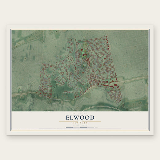 Elwood
, New York
From $39.99See the map
 Deer Park
, New York
From $39.99See the map
 South Huntington
, New York
From $39.99See the map
More maps nearby: Wheatley Heights, Commack, Wyandanch, Melville and Baywood.