


Search for another town





Free U.S. delivery 7 to 10 days after you order
Durham, North Carolina Map Art
Building by building, with labeled streets and shaded relief.
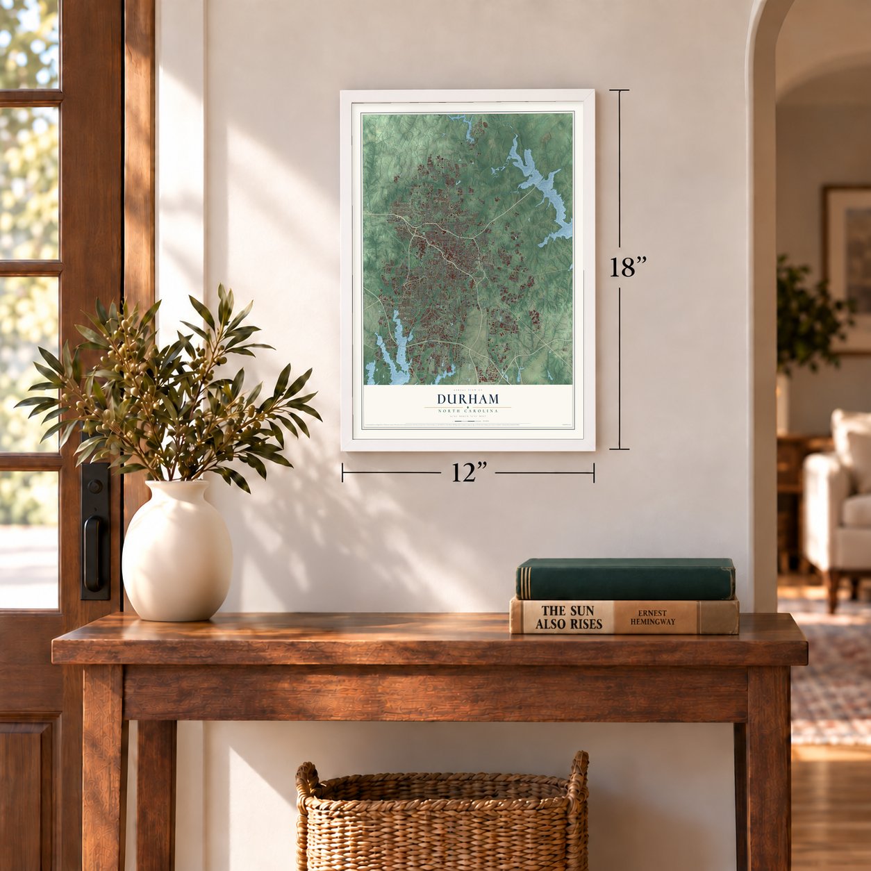
12" x 18" Archival Matte Print
A Map of Home. A Work of Art.
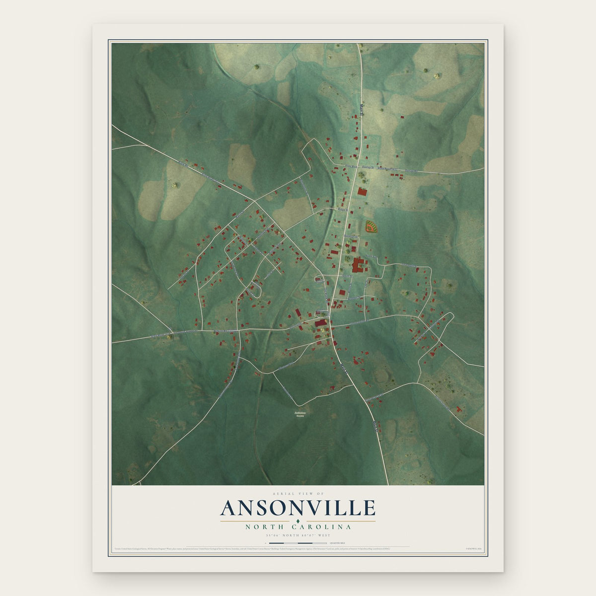
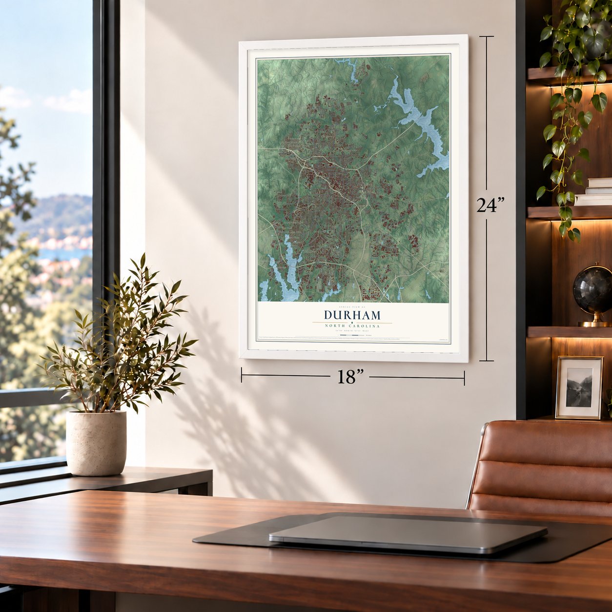
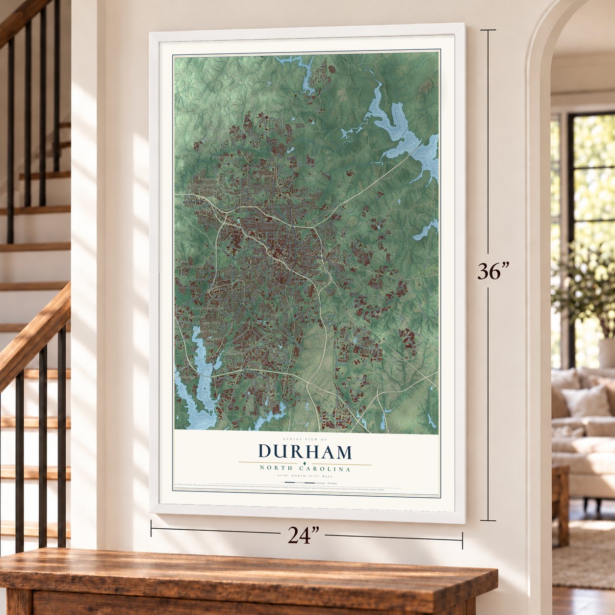
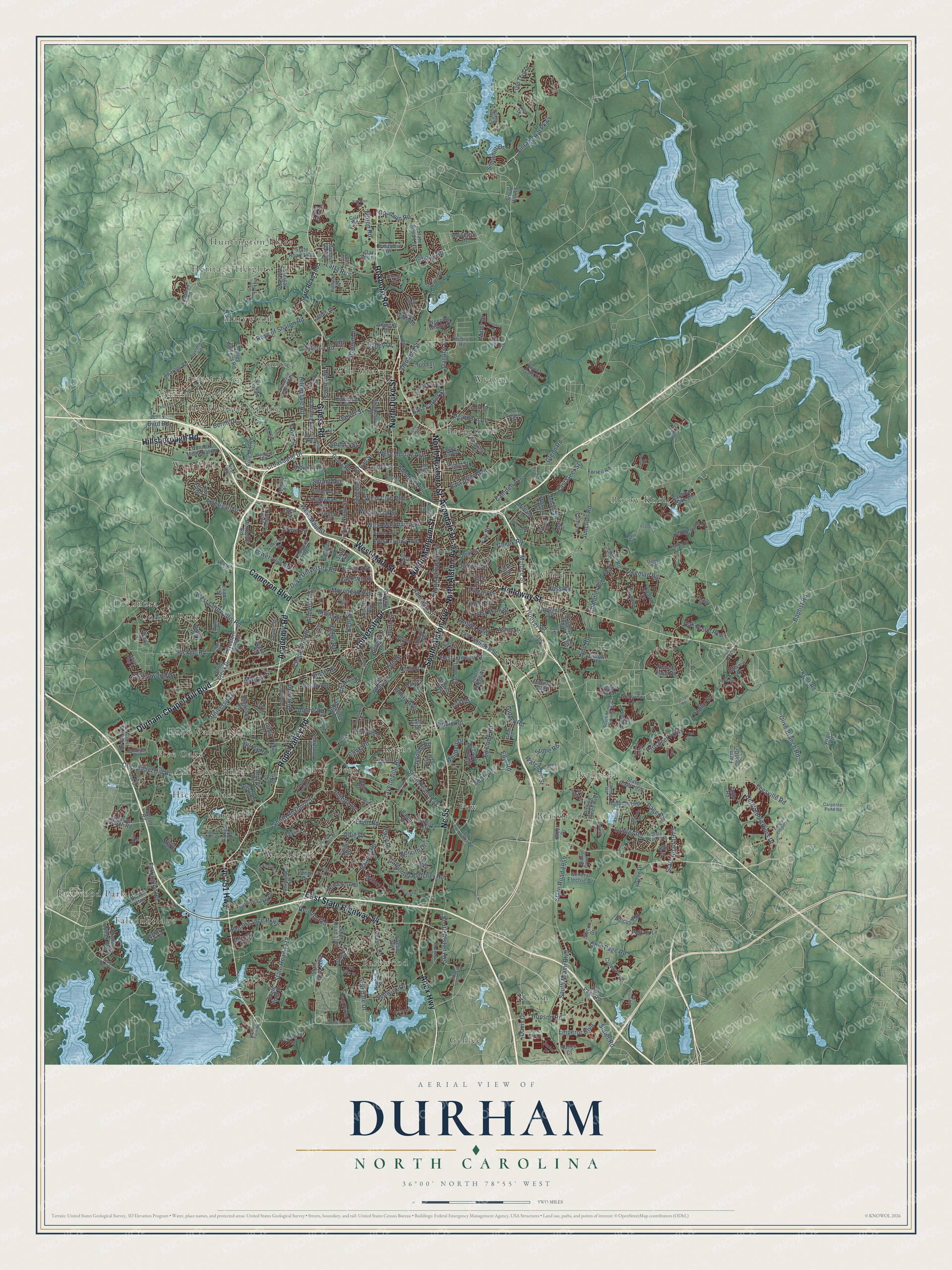
Explore Durham, North Carolina from a whole new perspective. Created using aerial imagery and detailed geographic data, this map captures Durham building by building, with labeled streets, familiar landmarks, and shaded topographical relief that highlights the natural contours of the landscape.
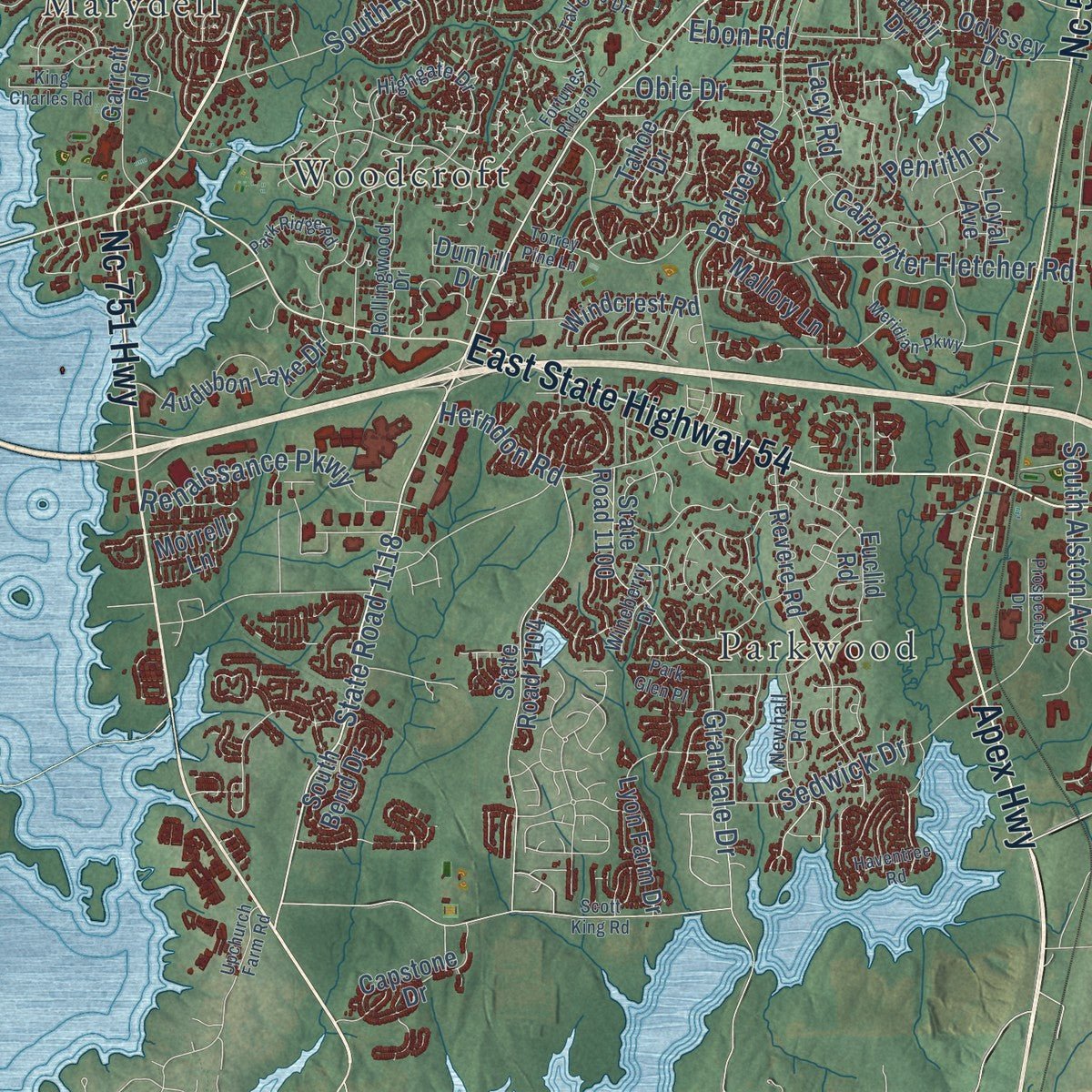
Combining modern data with the timeless character of a vintage atlas, this map is just as interesting up close as it is beautiful on the wall. Whether you grew up in Durham, spent memorable years there, or call it home today, this unique map is a great way to celebrate a place that means something to you. Zoom in on the preview to look for your street, and then order a print to put your memories on the wall.
Three ways to hang it
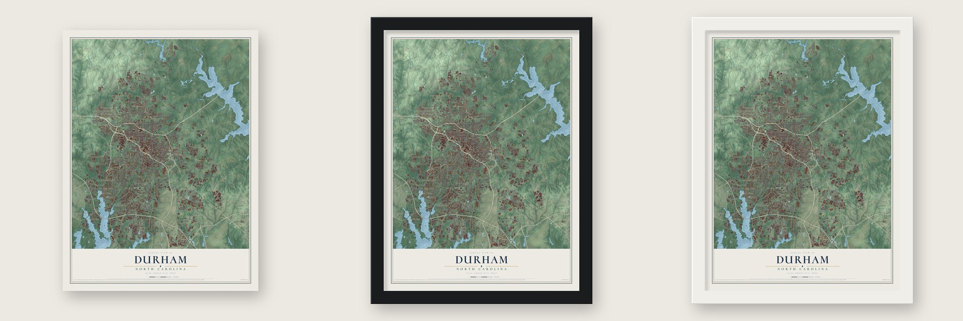
Unframed archival matte, a black wood frame or a white wood frame.
Up close
Geography Worth Displaying
This map was created using accurate cartographic data and authoritative geographic sources, including the U.S. Geological Survey and the Census Bureau. The map brings together terrain, waterways, roads, and building detail. The majority of the streets are labeled, houses are accurately depicted, and the topography is derived from government sources. Combining local data with carefully composed color and shading leads to this beautifully detailed Durham artwork for your wall.
Rather than simply showing street outlines, we’ve included as many of the street names as we could reasonably fit on the map while keeping their names legible. Zoom in on the high resolution preview to see exactly what’s on the map. We truly set out to create a statement piece for anyone who loves Durham. So whether it’s for you, or a gift for someone you love, we hope this map of Durham brings back fond memories.
Read the story behind this map of Durham, North Carolina from 2026.

Find your street
Names on the Durham map
Every name below is printed on this map. Look for your street, your school, the park where you played, or the pond down the road.
Places and landmarks32
- Archer Woods
- Bethesda
- Braggtown
- Brassfield
- Chicopee Hills
- Colony Park
- Eastwood Park
- Falconbridge
- Few
- Five Oaks
- Forest Acres
- Genlee
Show all 32 places
- Hayes
- Heritage Heights
- Hickory Oaks
- Hope Valley North
- Huckleberry Spring
- Huntington Place
- Joyland
- Keene
- Lochnora
- Marydell
- Marywood
- Mill Grove
- Nelson
- Parkwood
- Rocky Knoll
- Suntree
- Surry Green
- Weaver
- West Hills
- Woodcroft
Streets and roads394
- Hillsborough Road
- Hope Valley Road
- Roxboro Road
- University Drive
- Academy Road
- North Mangum Street
- West Main Street
- Apex Highway
- Durham-Chapel Hill Boulevard
- Guess Road
- North Roxboro Street
- Holloway Street
- North Duke Street
- East State Highway 54
- Cameron Boulevard
- North Alston Avenue
- South Alston Avenue
- Nc 751 Highway
- Avondale Drive
- Nc 55
- Fayetteville Road
- State Road 1118
- South Roxboro Street
- Old Chapel Hill Road
- Chapel Hill Road
- West Markham Avenue
- Duke University Road
- Ramseur Street
- Ninth Street
- East Club Boulevard
Show all 394 streets
- Croasdaile Drive
- State Road 1973
- South Miami Boulevard
- State Road 1959
- Angier Avenue
- Page Road
- Ellis Road
- East Geer Street
- West Cornwallis Road
- Hillandale Road
- Erwin Road
- Carver Street
- Farrington Road
- Vintage Hill Parkway
- Stadium Drive
- Pickett Road
- Barbee Road
- Broad Street
- Rose of Sharon Road
- West Club Boulevard
- State Road 1121
- Junction Road
- Liberty Street
- Cook Road
- West Knox Street
- East Main Street
- Lumley Road
- Herndon Road
- Cheek Road
- Morehead Avenue
- Horton Road
- Camden Avenue
- Danube Lane
- Glendale Avenue
- Riddle Road
- American Drive
- Anderson Street
- Lynn Road
- Grandale Drive
- Dearborn Drive
- East Lawson Street
- Sedwick Drive
- Olive Branch Road
- Carpenter Fletcher Road
- Leesville Road
- Chin Page Road
- Del Webb Arbors Drive
- Glenn Road
- Kent Street
- Goodwin Road
- Taylor Street
- Sprunt Avenue
- Dixon Road
- Berini Drive
- Hopson Road
- Infinity Road
- Renaissance Parkway
- Denfield Street
- Latta Road
- Ashe Street
- Oak Grove Parkway
- Emperor Boulevard
- North Elizabeth Street
- Prospect Parkway
- Jerome Road
- Juliette Drive
- So-Hi Drive
- Slater Road
- Muldee Street
- West Murray Avenue
- Ross Road
- Elmira Avenue
- West Trinity Avenue
- Towerview Road
- Jackson Street
- Bivins Street
- Chandler Road
- Cottonwood Drive
- Penrith Drive
- Glover Road
- Fay Street
- Leon Street
- Surrey Road
- Ed Cook Road
- Stuart Drive
- James Street
- Davis Drive
- Freeman Road
- Alpine Road
- Snowhill Drive
- Poplar Street
- South Street
- Juniper Street
- Indian Trail
- Milton Road
- East Carver Street
- Baptist Road
- Milan Street
- Charles Street
- Obie Drive
- Watchorn Street
- Burch Avenue
- Valley Drive
- Strebor Street
- Front Street
- Stone Road
- Otis Street
- Hermine Street
- Whilden Drive
- Hoover Road
- Mayfair Street
- Miller Drive
- Hugo Street
- Lacy Road
- Ebon Road
- Byrd Road
- Oak Ridge Boulevard
- Garrett Road
- Cole Mill Road
- East Pettigrew Street
- Englewood Avenue
- State Road 1104
- State Road 1449
- Sparger Road
- Green Street
- State Road 1100
- South Briggs Avenue
- Midland Terrace
- Dover Road
- Alabama Avenue
- Revere Road
- Crown Parkway
- Morreene Road
- Hebron Road
- Jim Lyon Road
- Clayton Road
- Rugby Road
- Pebblestone Drive
- Nichols Farm Drive
- Bacon Street
- State Road 1926
- Bennett Memorial Road
- Mount Moriah Road
- General Electric Drive
- Ridge Road
- South Bend Drive
- Crestview Drive
- Shannon Road
- Lyon Farm Drive
- Old Trail Drive
- Sedgefield Street
- Capstone Drive
- State Road 1715
- Audubon Lake Drive
- South Duke Street
- Lincoln Street
- Downing Creek Parkway
- Arnette Avenue
- Tahoe Drive
- Cecil Street
- Cardinal Lake Drive
- Shaftsbury Street
- Old Page Road
- Euclid Road
- Argonne Drive
- Virgil Road
- Snow Hill Road
- Morrell Lane
- Kemp Road
- Flowers Drive
- Magnolia Tree Lane
- Kirkwood Drive
- Talcott Drive
- Kirby Street
- Holloman Road
- Odyssey Drive
- Ephesus Church Road
- Valley Springs Road
- Windcrest Road
- Western Bypass
- Foster Street
- Atticus Way
- Swift Avenue
- Quartz Drive
- Crest Street
- Reigal Wood Road
- Courtland Drive
- Beverly Drive
- Seven Oaks Road
- Sandy Creek Drive
- Ferrell Road
- Ranbir Drive
- Drew Street
- Bexley Avenue
- Hillview Drive
- East Weaver Street
- Trenton Road
- Park Avenue
- Todd Street
- Loyal Avenue
- Bristol Road
- Weck Drive
- Athens Avenue
- Sevier Street
- Ashton Gln
- Gibson Road
- Mallory Lane
- Fiske Street
- Pulitzer Lane
- Elgin Street
- Dakota Street
- Circuit Drive
- Evans Street
- Landis Drive
- Rolling Pines Avenue
- Weeping Willow Drive
- Sweet Gale Drive
- Meadston Drive
- Roche Drive
- Midway Avenue
- Farm Leaf Drive
- Ruby Ridge Road
- Dunhill Drive
- Tanners Mill Drive
- Glenview Lane
- Wade Road
- Nelson Highway
- Green Oak Drive
- Bon Air Avenue
- Tuttle Road
- Watson Road
- Waring Street
- Silicon Drive
- Suffolk Street
- Surles Court
- Oak Hill Drive
- Alman Drive
- Cana Street
- Lemur Lane
- Raj Drive
- Coral Drive
- State Road 1003
- East Cornwallis Road
- Highgate Drive
- State Road 1966
- Umstead Road
- Neal Road
- Croasdaile Farm Parkway
- Trail Wood Drive
- Lazyriver Drive
- Devon Road
- South Mineral Springs Road
- Medford Road
- Vintage Hill Drive
- Wedgedale Avenue
- Newhall Road
- Stirrup Creek Drive
- Ben Franklin Boulevard
- Rivermont Road
- Paces Ferry Drive
- Dacian Avenue
- South Lasalle Street
- Acadia Street
- Sundial Circle
- Rollingwood Drive
- Woodrow Street
- Willowdale Drive
- Tryon Road
- Ruby Street
- Daniel Road
- Bellevue Avenue
- Glenco Road
- Kinlock Drive
- Harvest Street
- Crowell Street
- Sima Avenue
- Omega Road
- Huron Street
- Azalea Drive
- Wineberry Drive
- Pin Oak Drive
- Moline Street
- Aiken Avenue
- Alexander Avenue
- Carpenter Pond Road
- Burton Road
- Danziger Drive
- Craven Street
- Cain Road
- Statler Drive
- Fawn Avenue
- Arvin Road
- Sugar Pine Lane
- Villa Drive
- Knotty Pine Drive
- Marne Avenue
- Taylor Hall Place
- Sybil Drive
- Pearson Drive
- State Road 1811
- Sherron Road
- State Road 1945
- Meridian Parkway
- Stoneybrook Drive
- Faucette Avenue
- East End Avenue
- Carlton Crossing Drive
- Andrews Chapel Road
- Fortunes Ridge Drive
- Mossdale Avenue
- Colony Road
- Iredell Street
- King Charles Road
- Ardmore Drive
- Scott King Road
- Old Well Street
- Valley Run
- Flat River Drive
- Wellwater Avenue
- Beechwood Drive
- Wrenn Road
- Omah Street
- Oleander Drive
- Park Ridge Road
- Camellia Drive
- Industry Lane
- State Road 1550
- Carr Road
- Easley Street
- Larchwood Drive
- Logan Street
- State Road 1110
- Tall Oaks Drive
- Hemlock Hill Drive
- Summit Street
- Haventree Road
- Prospectus Drive
- Armitage Drive
- Clinton Road
- Genlee Drive
- Avalon Road
- Park Glen Place
- Park Knoll Drive
- Upchurch Farm Road
- Pine Trail Drive
- Maymount Drive
- New Haven Drive
- Chance Road
- Fern Street
- Niagra Drive
- Monk Road
- Station Drive
- Birchrun Drive
- Langdon Drive
- Olympic Avenue
- Torrey Pine Lane
- Thoreau Drive
- Framer Lane
- Howe Street
- Gunter Street
- Third Fork Road
- Mist Lake Drive
- Kirk Road
- Irving Way
Names are listed as they appear on the printed map. Zoom into the product photos to find them.
About Durham, North Carolina
Durham is a city of 283,506 people and the seat of Durham County, on the Eno River in the Piedmont. Before the railroad came, this was farm country in eastern Orange County, where a few businesses served livestock drivers on the Hillsborough Road. The North Carolina Railroad needed a depot between Raleigh and Hillsborough, but local owners would not sell or lease land for one. So in 1849 Dr. Bartlett S. Durham gave four acres, and the station took his name.
A post office opened at Durham Station on April 26, 1853, and the city now counts that day as its birthday. In April 1865, soldiers from both armies passed through and tasted the area's mild Brightleaf tobacco. After the war many of them wrote back asking for more. John Ruffin Green's tobacco business grew on those orders, and the station grew with it until the General Assembly incorporated the town on April 10, 1869.
“the flower of the Carolinas”
- Surrender at Bennett PlaceLee surrendered at Appomattox on April 9, 1865. General Joseph E. Johnston, whose army was based in Greensboro, then asked General William T. Sherman for terms. The two generals held their talks on three days, April 17, 18 and 26, at Bennett Place, a small farm that James and Nancy Bennett owned some 3 miles west of Durham Station, and Johnston surrendered there.
- The Bull Durham bullW.T. Blackwell went into business with Green and called the company the Bull Durham Tobacco Factory. The bull is said to come from Colman's Mustard, which Blackwell wrongly thought was made in Durham, England. The factory joined the National Register in 1974.
- Durham County in 1881Durham began inside Orange County, and the day-long trip to the county seat at Hillsborough became too much for its growing trade. Caleb B. Green introduced a bill to form Durham County from parts of Orange and Wake counties. The General Assembly ratified it on April 17, 1881.
- Black-owned insurance since 1899North Carolina Mutual Life Insurance Company, founded in Durham in 1899, was the first Black-owned insurance company in North Carolina. Its building joined the National Register in 1975.
- The fire of 1914On March 23, 1914, the worst fire in Durham's history burned a large part of downtown. The fire department's water supply gave out during the blaze, so voters replaced the private water system with one owned by the city.
Keep exploring North Carolina
Durham is one of 952 North Carolina towns we've mapped. Every dot on the map is a print of its own.
The search covers every state, North Carolina first.
Near Durham
Order 2 or more town maps and save 10%. Shown in the size and finish you picked above, so they hang as a set.
- Trinity Park 12" x 18" / Archival Matte Print $39.99
- Gorman 12" x 18" / Archival Matte Print $39.99
- Oak Grove 12" x 18" / Archival Matte Print $39.99


More maps nearby: New Hope, Chapel Hill, Morrisville, Carolina Meadows and Carrboro.
The art of mapping a place
How This Map Was Made
Real places. Remarkable detail. Discover the layers that turn geographic data into a map of home.

The view from above
Aerial imagery reveals the character of the land: woodland, open fields, and the patterns of a place.

The shape of the land
Elevation data brings hills, valleys, and subtle changes in the landscape into view.

The details of home
Roads, waterways, and building footprints come together to make the map feel unmistakably local.

Geography becomes art
Considered color, shading, and typography bring the layers together in a map made for your wall.


Process illustrated with Mendon, Massachusetts. Aerial imagery: USDA NAIP. Terrain: USGS 3D Elevation Program. Map details and finished artwork: KNOWOL.
The Details
About This Print
Choose an archival matte print, or a black or white Ayous wood frame. The archival matte print is unframed.
Select your size and finish above to see the matching product image and price.
Materials & Craftsmanship
A contemporary map with the character of a classic atlas, printed on archival matte paper. Optional frames are made from Ayous wood.
Your printed map does not include the watermark shown in the full-map preview.
Shipping & Delivery
Free shipping within the United States. Every print is made to order in the USA.
Buying a gift? Add a note in your cart and we'll include it. We never put prices in the package.
Prints ship within 2 to 3 business days. Allow 7 to 10 days total from ordering for delivery. Timing may vary during holidays or periods of high order volume.
Read our shipping policy.
Returns and damaged prints
Each print is made to order. Change-of-mind refunds are not available after production.
If your print arrives damaged, misprinted or incorrect, contact support@knowol.com within 30 days of receiving it. Include your order number, photos and a description of the issue.
Read our full refund and replacement policy. For questions about your order, email support@knowol.com.