
Search for another town

Free U.S. delivery 7 to 10 days after you order
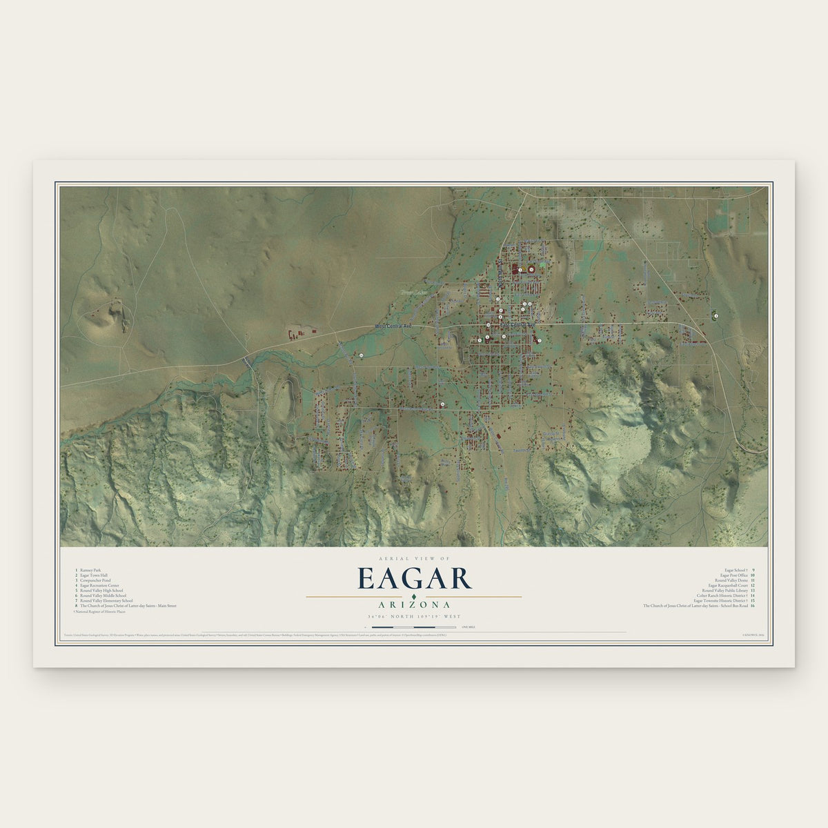
Eagar, Arizona Map Art
Building by building, with labeled streets and shaded relief.
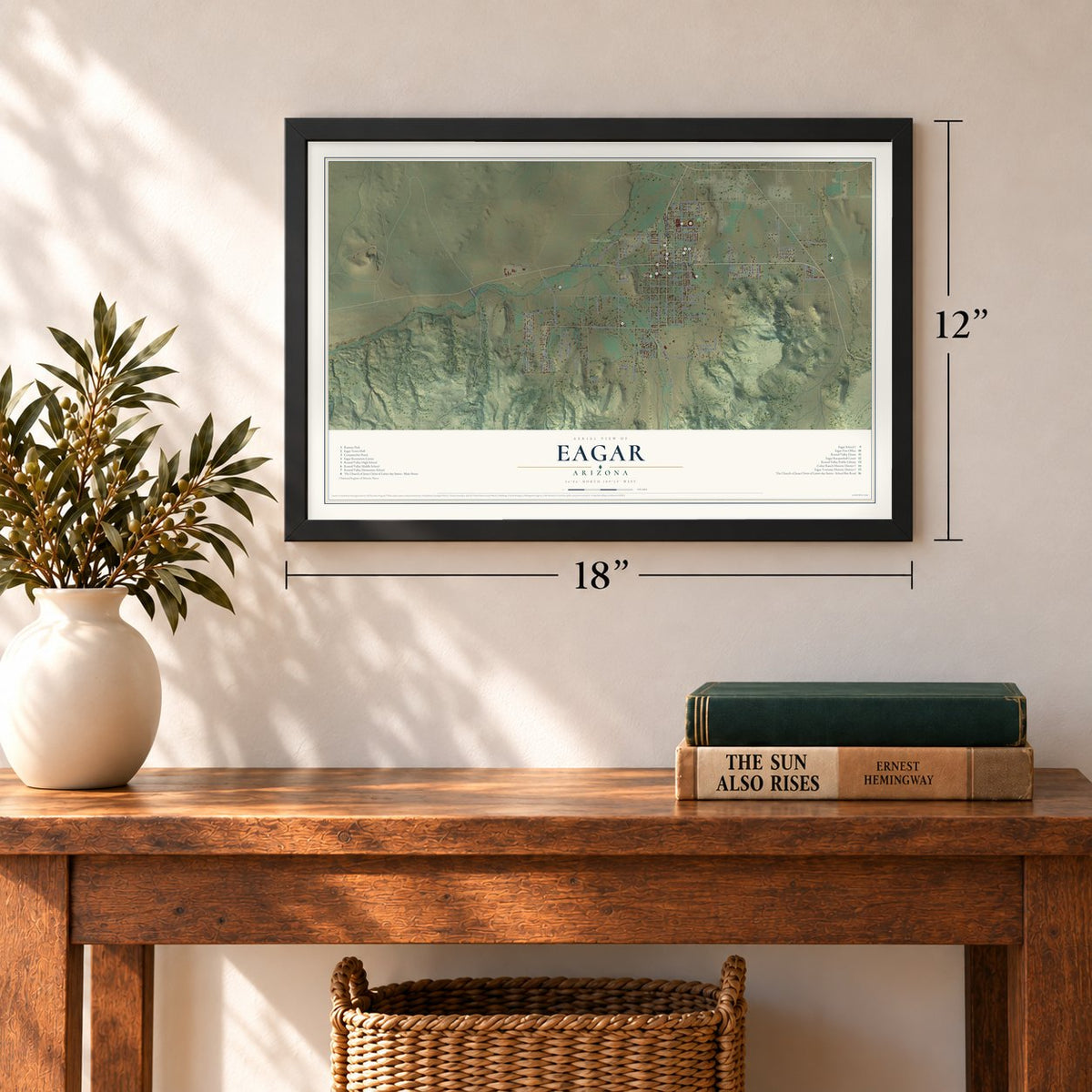
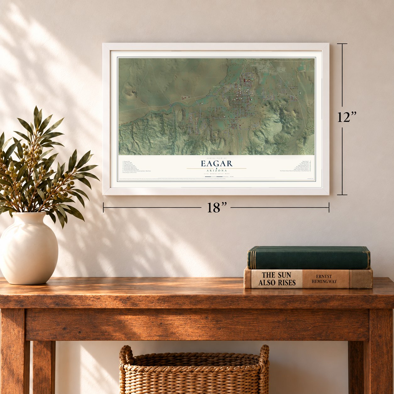
12" x 18" Archival Matte Print
A Map of Home. A Work of Art.
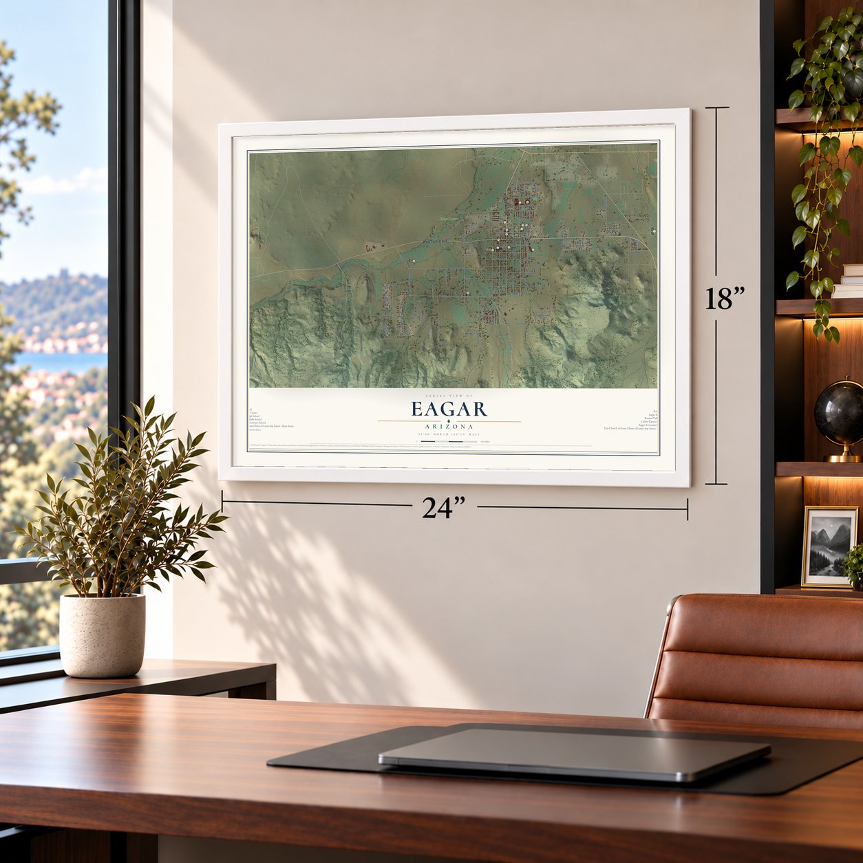
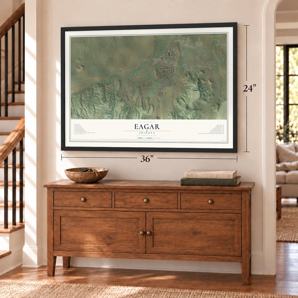
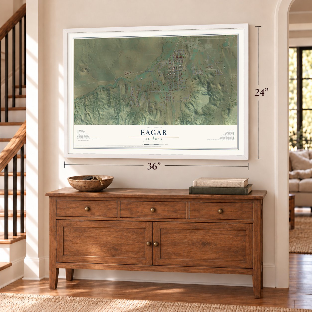
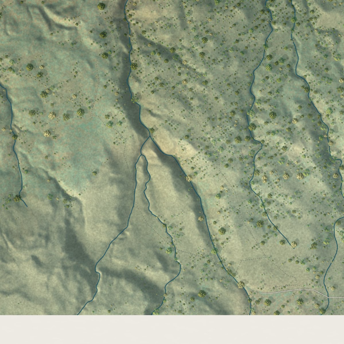
Explore Eagar, Arizona from a whole new perspective. Created using aerial imagery and detailed geographic data, this map captures Eagar building by building, with labeled streets, familiar landmarks, and shaded topographical relief that highlights the natural contours of the landscape.
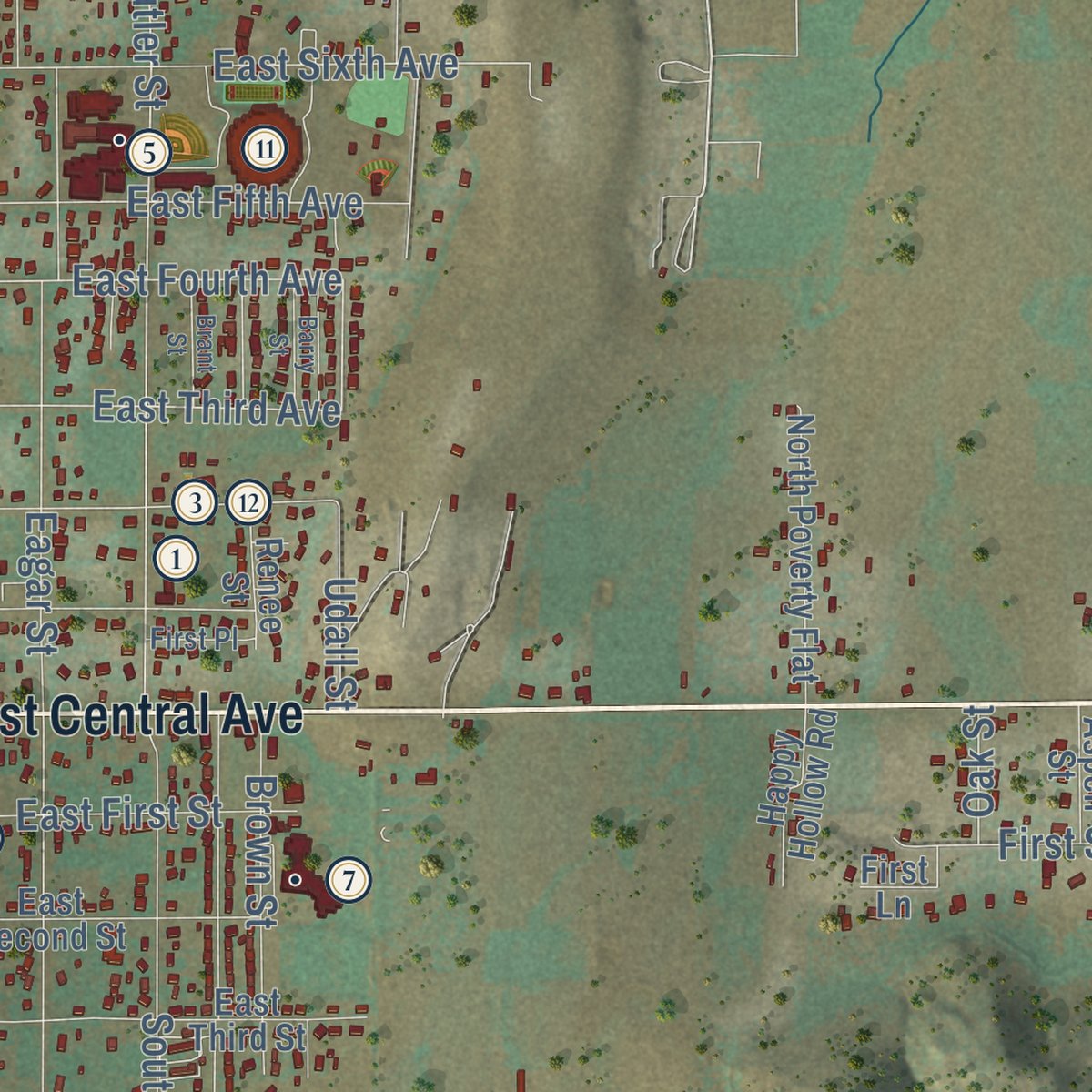
Combining modern data with the timeless character of a vintage atlas, this map is just as interesting up close as it is beautiful on the wall. Whether you grew up in Eagar, spent memorable years there, or call it home today, this unique map is a great way to celebrate a place that means something to you. Zoom in on the preview to look for your street, and then order a print to put your memories on the wall.

Three ways to hang it
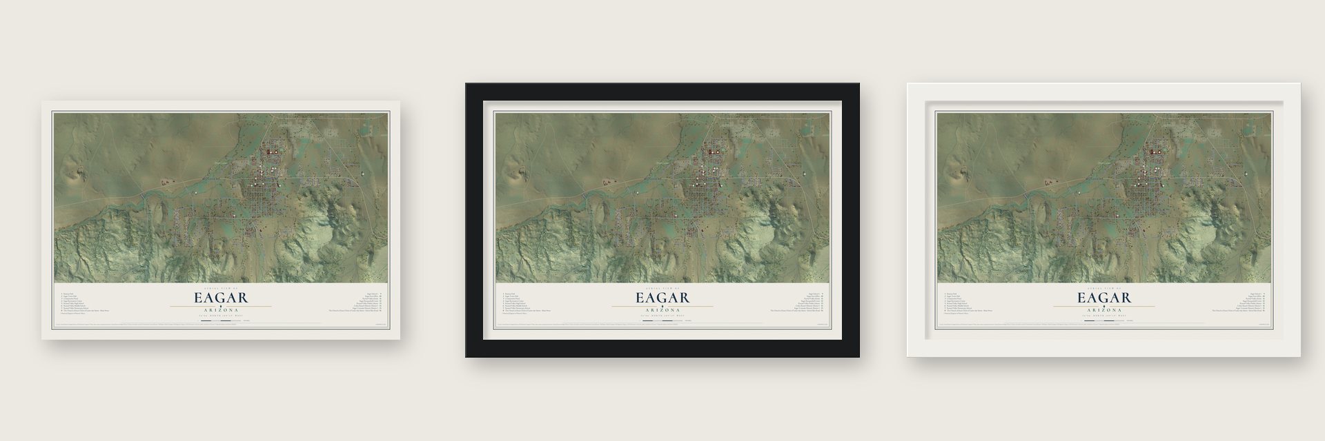
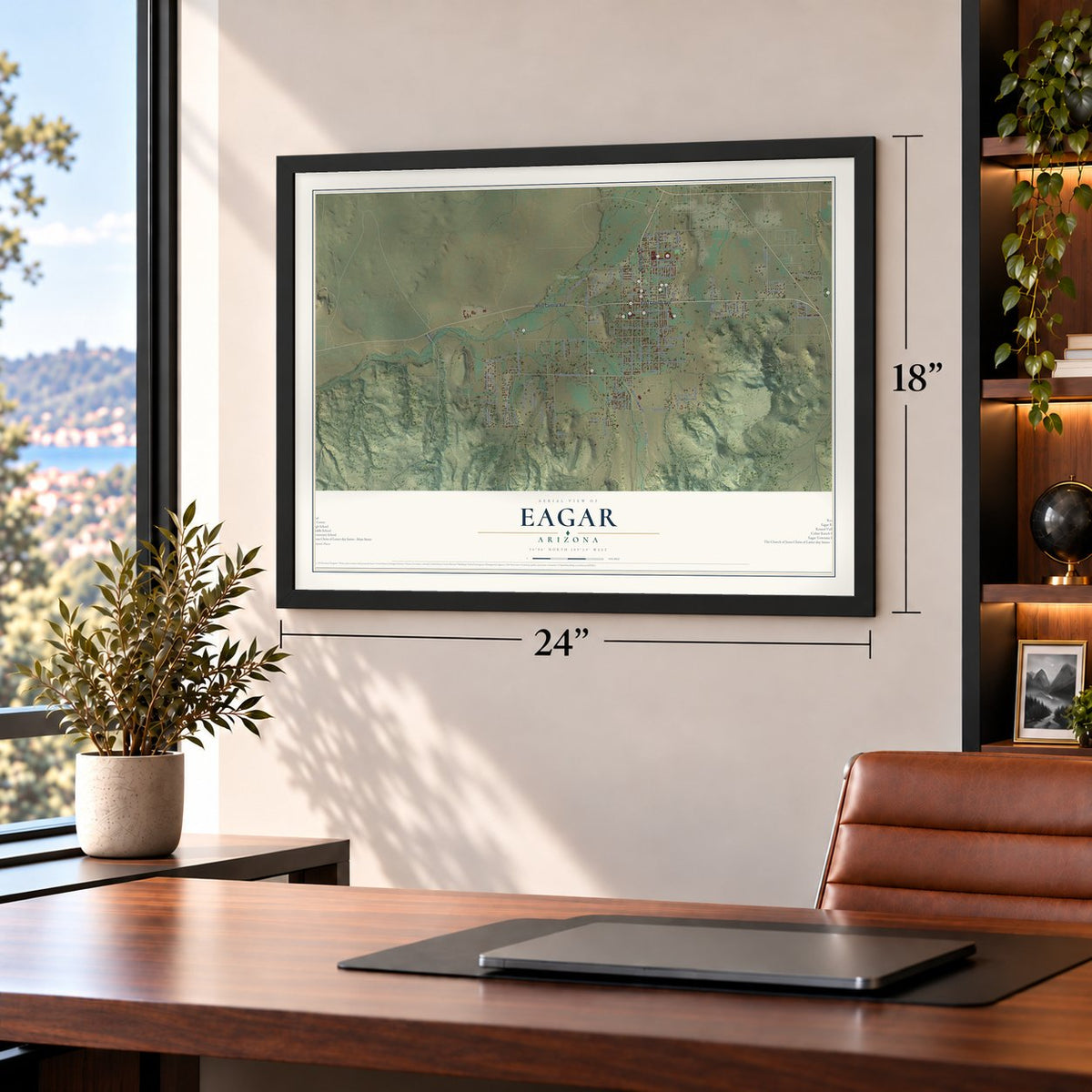
Unframed archival matte, a black wood frame or a white wood frame.
Up close
Geography Worth Displaying
This map was created using accurate cartographic data and authoritative geographic sources, including the U.S. Geological Survey (USGS) and FEMA. The map brings together terrain, waterways, roads, and building detail. The majority of the streets are labeled, houses are accurately depicted, and the topography is derived from government sources. Combining local data with carefully composed color and shading leads to this beautifully detailed Eagar artwork for your wall.
Rather than simply showing street outlines, we’ve included as many of the street names as we could reasonably fit on the map while keeping their names legible. Zoom in on the high resolution preview to see exactly what’s on the map. We truly set out to create a statement piece for anyone who loves Eagar. So whether it’s for you, or a gift for someone you love, we hope this map of Eagar brings back fond memories.
Explore the full map of Eagar, Arizona and read about the local places it shows.

Find your street
Names on the Eagar map
Every name below is printed on this map. Look for your street, your school, the park where you played, or the pond down the road.
Places and landmarks1
- Greer Lakes
Streets and roads104
- East Central Avenue
- North Main Street
- West Central Avenue
- West School Bus Road
- South Main Street
- Maricopa Drive
- South School Bus Road
- School Bus Road
- North Burk Street
- North Butler Street
- Route 285
- West Fourth Street
- Water Canyon Road
- Bogey Drive
- South River Road
- East Third Avenue
- Udall Street
- East Fourth Avenue
- Twelfth Street
- South Eagar Street
- South Harless Street
- Amity Lane
- First Street
- South Burk Street
- Lesueur Drive
- Marian Drive
- Spanish Trail
- South Butler Street
- Eagar Street
- East Fourth Street
Show all 104 streets
- West 26 Bar Road
- Harless Street
- East Sixth Avenue
- East Seventh Street
- Safari Drive
- Sky Crest Drive
- Juniper Street
- East Fifth Avenue
- North Old Gristmill Road
- Veterans Lane
- Crosby Street
- Third Place
- East Apache Drive
- Brown Street
- Dorinda Drive
- East First Street
- Genevieve Drive
- Skyline Drive
- Crystal Lane
- West Third Street
- First Avenue
- Snowline Road
- Eleventh Street
- Grassy Street
- Second Avenue
- Spruce Street
- Pine Street
- Line Street
- Oak Street
- West Second Street
- West First Avenue
- North Chiricahua Trail
- Timberline Drive
- East Fifth Street
- East Third Street
- Alta Vista Drive
- Tenth Street
- East Second Street
- South Wye Drive
- Round Valley Drive
- North Poverty Flat
- Third Avenue
- Seventh Place
- Renee Street
- East Sixth Street
- Eleventh Lane
- Dale Street
- North River Road
- Ponderosa Street
- Sunset Drive
- Sixth Street
- Happy Hollow Road
- Benny Jay Lane
- First Lane
- Ignacio Drive
- Double Tree Lane
- Aspen Street
- Foote Drive
- Hunt Street
- Gary Street
- West First Street
- Starlane Drive
- Cedar Street
- Sandtrap Drive
- Jimmy Street
- Elk Crest Way
- East Eighth Street
- West Fifth Street
- First Place
- Seventh Lane
- Rec Center Lane
- Barry Street
- Brant Street
- Zebra Way
Names are listed as they appear on the printed map. Zoom into the product photos to find them.
About Eagar, Arizona
Eagar is a town of 4,395 people in Apache County, the largest town in the county, with Springerville along its northern edge. This was Apache land until European Americans arrived in 1871. Following Brigham Young's instructions, three Eagar brothers, Joel Sixtus, John Thomas and William Walter, each claimed 160 acres as a homestead. Once their deeds came through, they divided the land into lots and sold them cheaply to fellow church members moving into the valley.
In 1886 church leaders in Salt Lake City combined two wards, Amity and Omer, into a single Union Ward centered on the new townsite. Postmistress Emma Goldsbrough Udall hoped to call the town Union, because she wanted it to join with Amity and Springerville someday. The postmaster general refused the name as too common, so she proposed Eagarville to honor the brothers. It was shortened to Eagar before December 1892, and the town incorporated in 1948.
- Laid out on the Zion planEagar followed the Mormon City of Zion plan, which divided each square mile of town into blocks of ten acres, separated by streets 132 feet across. Eagar's own blocks ended up about 500 feet square, with streets about 90 feet wide. The Big Ditch carried water from the Little Colorado River. Timber, cattle, sheep and wool fed the town's growth, and its population rose from 397 in 1910, third in Apache County, to 635 by 1920.
- The Grapevine, built 1916Eagar's social hall, the Grapevine, went up in 1916 and soon hosted dances, plays and benefit nights. It also held classes, and in the 1920s the high school played basketball on its floor. In 1927 it became the first building in town to get electric wiring.
- A school rebuilt in 1930A spark from a wood stove started a fire on January 10, 1930, and the school burned down in 30 minutes. Classes met in the ward chapel the next Monday. Mesa builder Albert Copeland took the contract for $21,125, and the Eagar School was dedicated December 6, 1930. During the Depression, mothers served hot lunch at 5 cents a cup. After 53 years of classes it became the town hall in January 1984. It's on the National Register.
- A dome over the football fieldRound Valley High School's football field sits under the Round Valley Ensphere, a wooden dome that opened in 1991. It seats 5,500 fans at football games and 9,000 when the floor is set for basketball or volleyball. When the Rodeo-Chediski fire struck in 2002, the dome sheltered 9,800 evacuees, and in September 2024 the school named it for Tot Workman, its former head coach.
- John Wayne's ranchA stone set by the Eagar historical society at the 26 Bar Hereford Ranch says John Wayne owned the place and came often. In the 1940s the same ranch was well known as the Milky Way Hereford Ranch, belonging to the Mars candy family.
Keep exploring Arizona
Eagar is one of 519 Arizona towns we've mapped. Every dot on the map is a print of its own.
The search covers every state, Arizona first.
Near Eagar
Order 2 or more town maps and save 10%. Shown in the size and finish you picked above, so they hang as a set.
- Springerville 12" x 18" / Archival Matte Print $39.99
- Greer 12" x 18" / Archival Matte Print $39.99
- Nutrioso 12" x 18" / Archival Matte Print $39.99


More maps nearby: Alpine, Vernon, St Johns, Concho and McNary.
The art of mapping a place
How This Map Was Made
Real places. Remarkable detail. Discover the layers that turn geographic data into a map of home.

The view from above
Aerial imagery reveals the character of the land: woodland, open fields, and the patterns of a place.

The shape of the land
Elevation data brings hills, valleys, and subtle changes in the landscape into view.

The details of home
Roads, waterways, and building footprints come together to make the map feel unmistakably local.

Geography becomes art
Considered color, shading, and typography bring the layers together in a map made for your wall.


Process illustrated with Mendon, Massachusetts. Aerial imagery: USDA NAIP. Terrain: USGS 3D Elevation Program. Map details and finished artwork: KNOWOL.
The Details
About This Print
Choose an archival matte print, or a black or white Ayous wood frame. The archival matte print is unframed.
Select your size and finish above to see the matching product image and price.
Materials & Craftsmanship
A contemporary map with the character of a classic atlas, printed on archival matte paper. Optional frames are made from Ayous wood.
Your printed map does not include the watermark shown in the full-map preview.
Shipping & Delivery
Free shipping within the United States. Every print is made to order in the USA.
Buying a gift? Add a note in your cart and we'll include it. We never put prices in the package.
Prints ship within 2 to 3 business days. Allow 7 to 10 days total from ordering for delivery. Timing may vary during holidays or periods of high order volume.
Read our shipping policy.
Returns and damaged prints
Each print is made to order. Change-of-mind refunds are not available after production.
If your print arrives damaged, misprinted or incorrect, contact support@knowol.com within 30 days of receiving it. Include your order number, photos and a description of the issue.
Read our full refund and replacement policy. For questions about your order, email support@knowol.com.