
Search for another town




Free U.S. delivery 7 to 10 days after you order
Eagle Pass, Texas Map Art
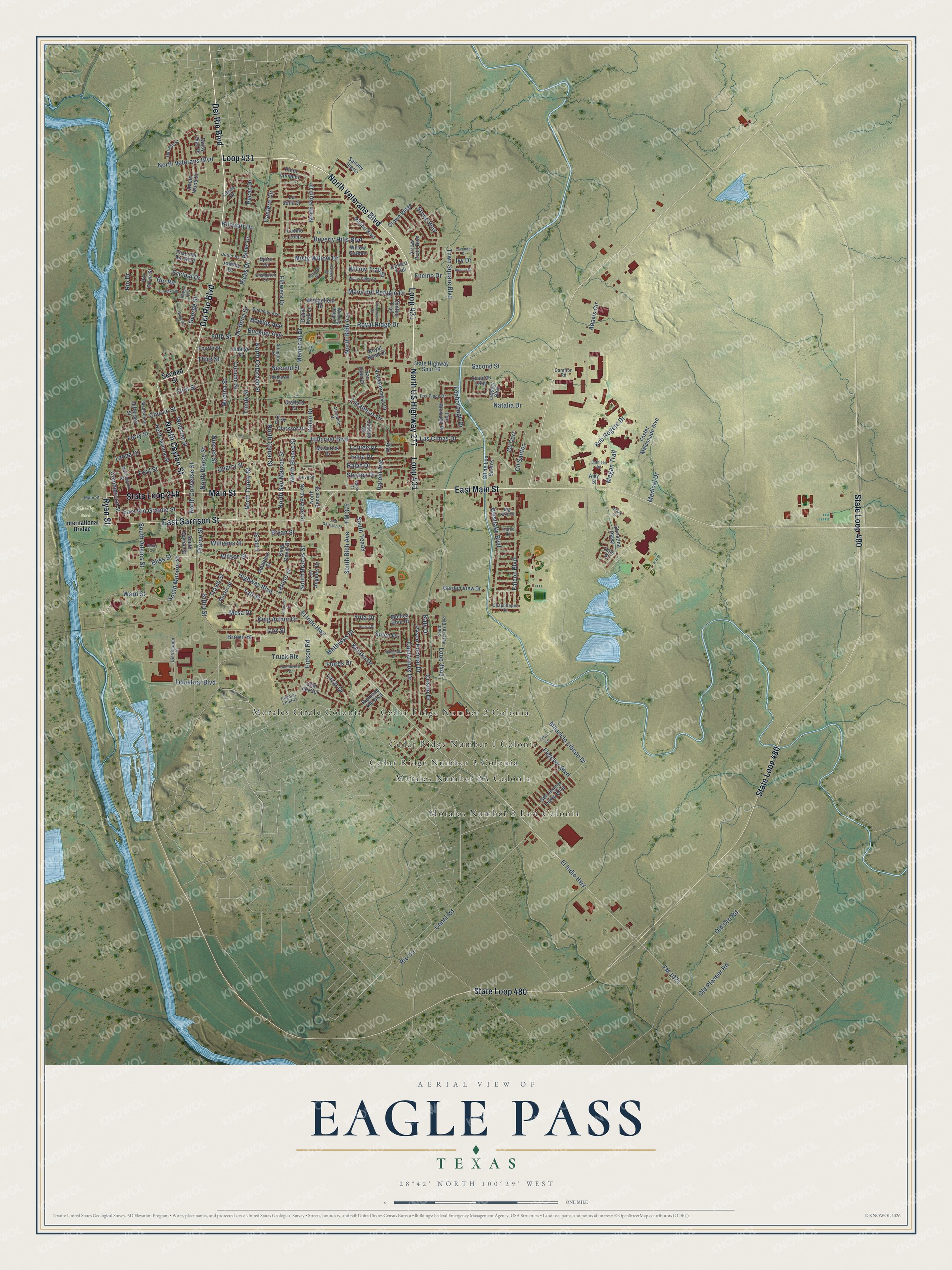
A new map of Eagle Pass, Texas, made in 2026 and printed to order on thick archival matte paper.
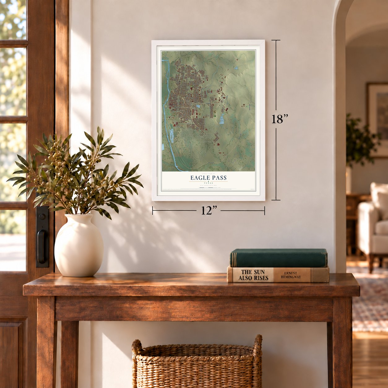
12" x 18" Archival Matte Print
A Map of Home. A Work of Art.
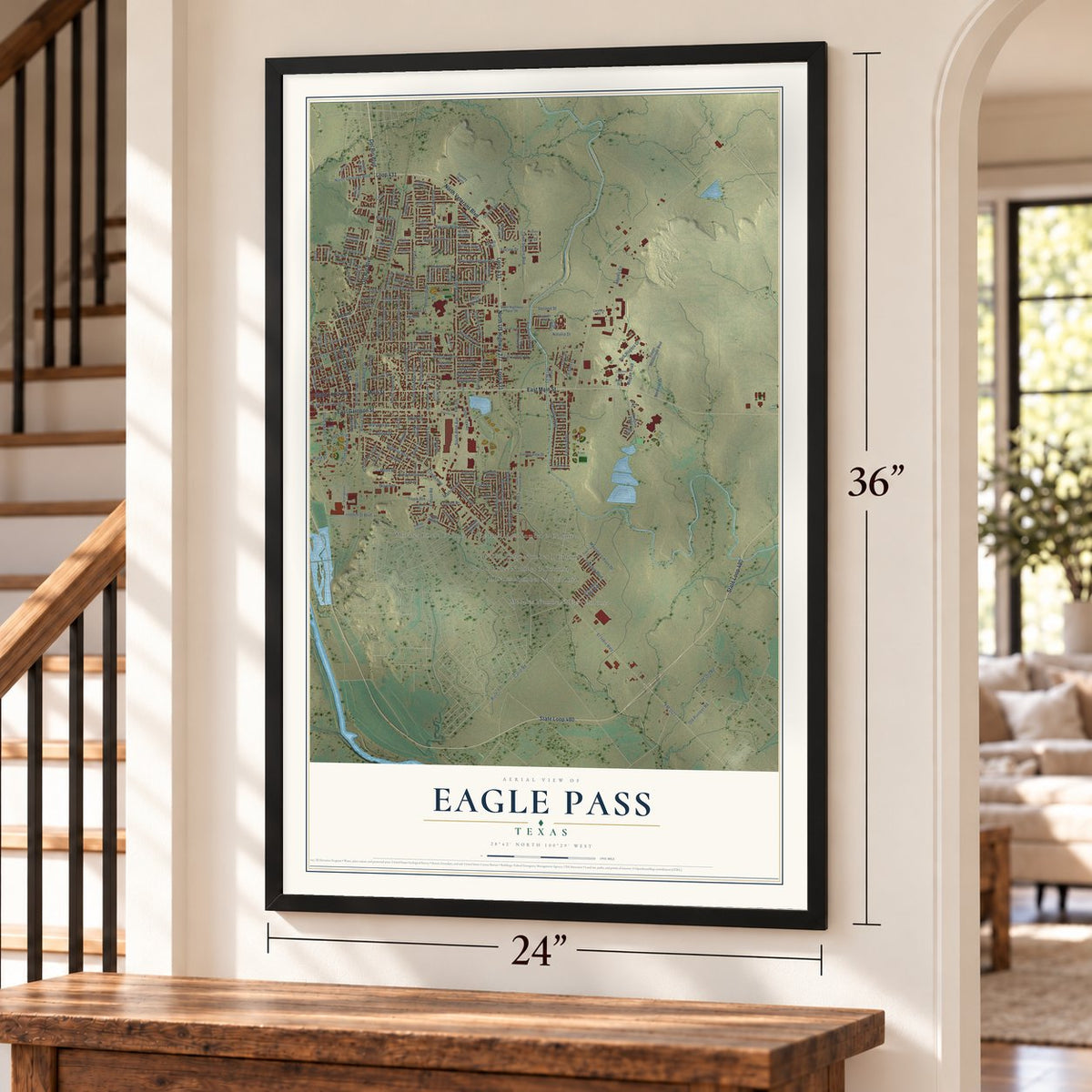
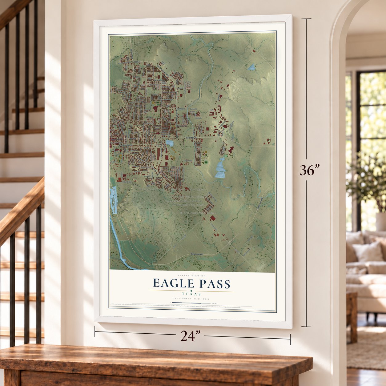
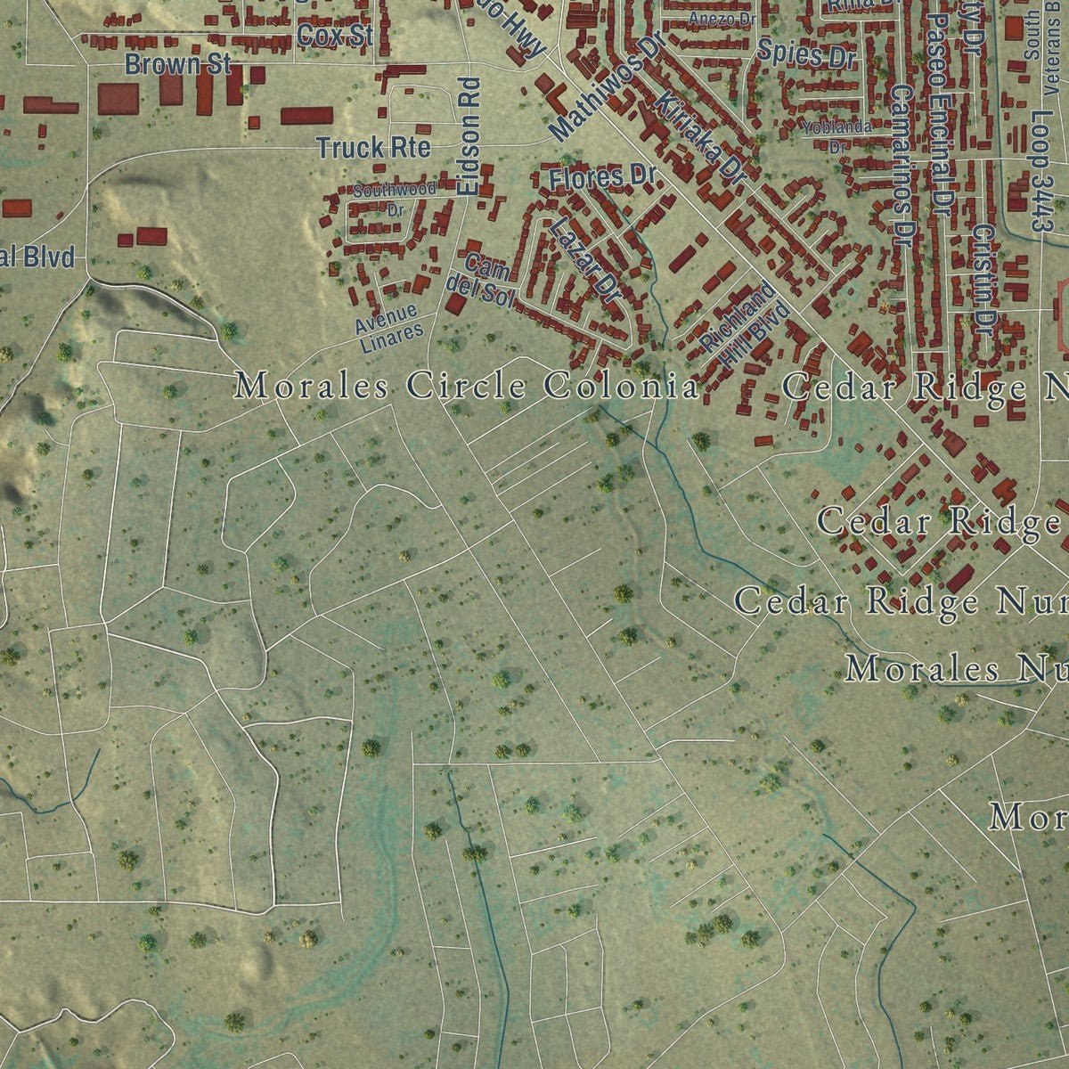
Explore Eagle Pass, Texas from a whole new perspective. Created using aerial imagery and detailed geographic data, this map captures Eagle Pass building by building, with labeled streets, familiar landmarks, and shaded topographical relief that highlights the natural contours of the landscape.
Combining modern data with the timeless character of a vintage atlas, this map is just as interesting up close as it is beautiful on the wall. Whether you grew up in Eagle Pass, spent memorable years there, or call it home today, this unique map is a great way to celebrate a place that means something to you. Zoom in on the preview to look for your street, and then order a print to put your memories on the wall.
Three ways to hang it
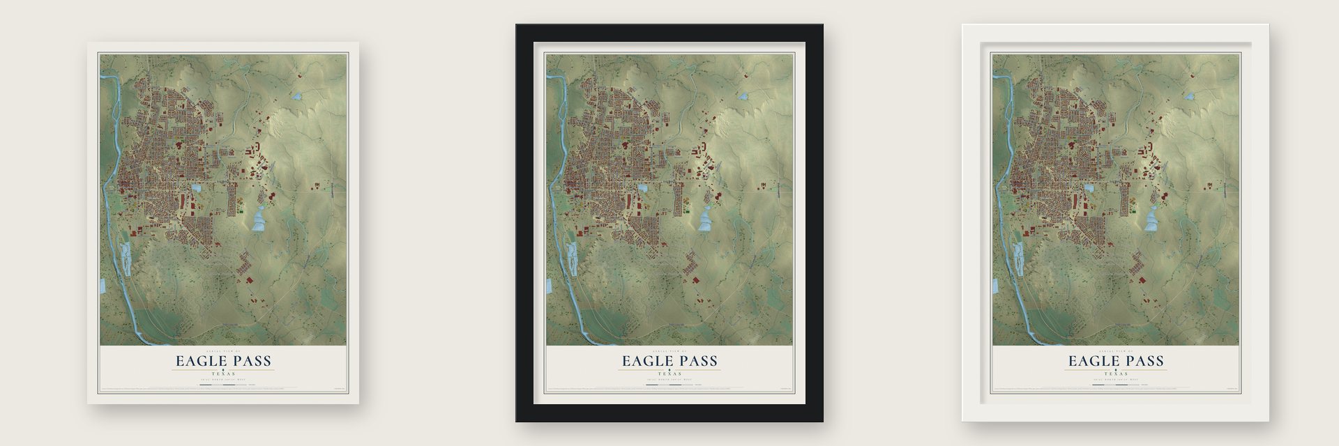
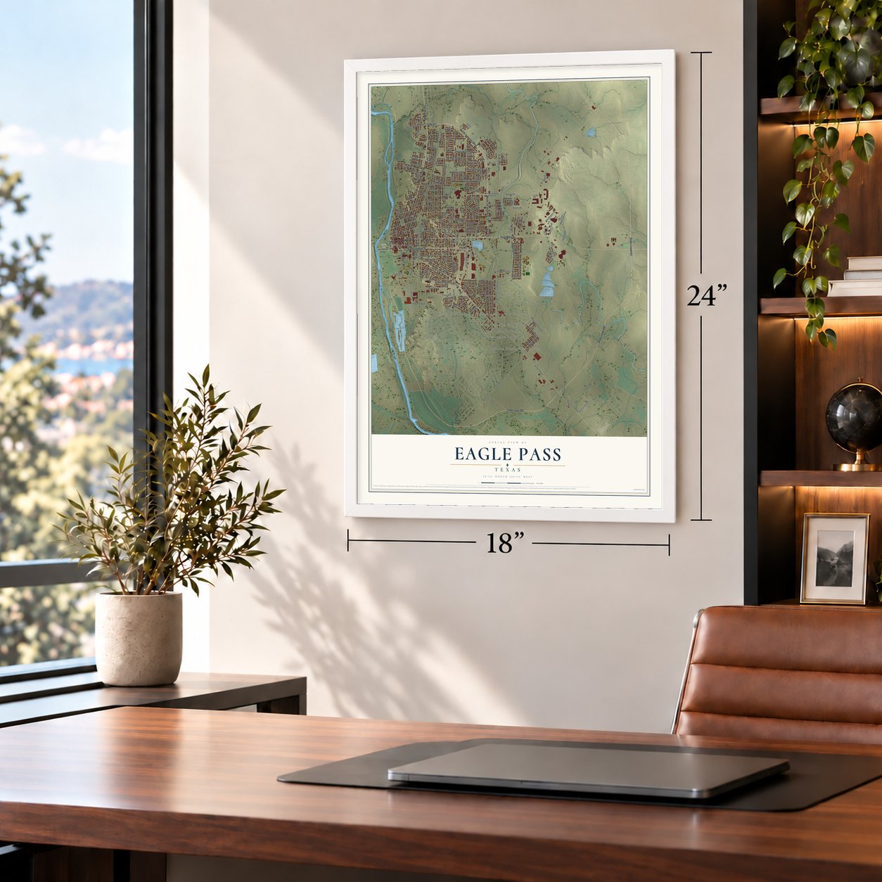
Unframed archival matte, a black wood frame or a white wood frame.
Up close
Geography Worth Displaying
This map was created using accurate cartographic data and authoritative geographic sources, including the U.S. Geological Survey and the Census Bureau. The map brings together terrain, waterways, roads, and building detail. The majority of the streets are labeled, houses are accurately depicted, and the topography is derived from government sources. Combining local data with carefully composed color and shading leads to this beautifully detailed Eagle Pass artwork for your wall.
Rather than simply showing street outlines, we’ve included as many of the street names as we could reasonably fit on the map while keeping their names legible. Zoom in on the high resolution preview to see exactly what’s on the map. We truly set out to create a statement piece for anyone who loves Eagle Pass. So whether it’s for you, or a gift for someone you love, we hope this map of Eagle Pass brings back fond memories.
Read the story behind this map of Eagle Pass, Texas from 2026.

About Eagle Pass, Texas
Eagle Pass is the seat of Maverick County, positioned on the Rio Grande opposite Piedras Negras, Coahuila. Its beginnings are tied to a Mexican War observation post, the establishment of nearby Fort Duncan in 1849, and trade at a river crossing. The city later developed as an international rail center and recorded 28,130 residents in the 2020 census.
- Name at the CrossingThe village took its name from El Paso del Aguila, a Rio Grande crossing associated with frequent eagle flights near the Rio Escondido.
- Fort Duncan and SettlementAfter Fort Duncan opened two miles upstream in 1849, a small community formed near the river crossing below the post.
- County Seat Since 1871When Maverick County was organized in 1871, Eagle Pass became its county seat.
- Rail Link ArrivesIn 1882, the Galveston, Harrisburg and San Antonio Railway reached Eagle Pass from Spofford, later continuing into Piedras Negras as the Mexican National Railway.
- Across the Rio GrandePiedras Negras, Coahuila, lies southwest of Eagle Pass across the Rio Grande.
Find your street
Names on the Eagle Pass map
Every name below is printed on this map. Look for your street, your school, the park where you played, or the pond down the road.
Places and landmarks6
- Shelby Park
- Cedar Ridge Number 1 Colonia
- Cedar Ridge Number 2 Colonia
- Cedar Ridge Number 3 Colonia
- Morales Circle Colonia
- Morales Number 2 East Colonia
Streets and roads214
- North US Highway 277
- North Veterans Boulevard
- Del Rio Boulevard
- North Ceylon Street
- State Loop 240
- Ryan Street
- Loop 431
- Main Street
- State Loop 480
- East Garrison Street
- East Main Street
- Wilson Street
- South Monroe Street
- El Indio Highway
- Ford Street
- Edna Drive
- South Adams Street
- FM 375
- South Bibb Avenue
- FM 1021
- Highway Boulevard
- Adams Circle
- Hillcrest Boulevard
- Concho Street
- El Indo Highway
- Harold Avenue
- Bliss Street
- De Bona Drive
- North Colorado Street
- Leona Street
Show all 214 streets
- South Brazos Street
- North Bibb Avenue
- Loop 3443
- Second Street
- Industrial Boulevard
- Quarry Street
- Ferry Street
- East Rio Grande Street
- North Comal Street
- Flowers Drive
- Canal Road
- Trinity Street
- Medina Street
- Ricks Drive
- Williams Street
- Ward Street
- North Pierce Street
- First Street
- Bryan Street
- Town Square Boulevard
- Truck Route
- Falcon Boulevard
- Church Street
- Medical Drive
- Royal Ridge Drive
- Brown Street
- Camarinos Drive
- Commercial Street
- Westlake Boulevard
- Paseo Encinal Drive
- Webster Street
- Bob Rogers Drive
- Beverly Hills Boulevard
- Laredo Street
- Travis Street
- Luis Street
- Kifuri Street
- Taft Street
- Kiriaka Drive
- Lazar Drive
- Misty Willow Drive
- Eidson Road
- Memorial Drive
- Rio Drive
- North San Marcos Street
- North Blanco Street
- North Trinity Street
- Zacatecas Drive
- Old Oro Road
- North Point Drive
- Cox Street
- Mathiwos Drive
- Foxborough Drive
- Maria del Refugio Drive
- Rio Road
- Buckley Avenue
- Fletcher Boulevard
- Cll Carr
- Nueces Street
- Cll Santos
- Cantera Circle
- Mauricio Libson Drive
- North Converse Street
- Stone Way
- Ralph Drive
- Pecan Drive
- King Arthur Drive
- Kilowatt Drive
- Old Pioneer Road
- Las Cimas Drive
- Cristin Drive
- South Texas
- Yota Drive
- Rio Circle
- Spies Drive
- Willow Trail Street
- Kelso Drive
- Encino Drive
- Lorilee Drive
- Mesa Drive
- Megan Trail
- Pierce Street
- Katy Drive
- George Street
- Fifth Street
- Bowles Avenue
- Stanley Drive
- Natalia Drive
- Encinal Drive
- Third Street
- Flores Drive
- Ivy Drive
- South Ceylon Street
- Cole Street
- Foster Maldonado Boulevard
- Christina Parkway
- Legacy Boulevard
- Cll de Los Santos
- State Highway Spur 16
- North Monroe Street
- Jefferson Street
- King David Street
- Adolphus Street
- Chapote Loop
- Lucino Loop
- Austin Street
- Vista Hermosa Drive
- Rio Drive Street
- North Brazos Street
- La Jolla Street
- Gen Homer Lewis Boulevard
- North Pecos Street
- Chittim Trail
- Point Loma Drive
- Fox Borough Drive
- Hidalgo Street
- Malibu Boulevard
- Daisy Diaz Drive
- San Juan Drive
- Clarkson Drive
- Arrow Point Boulevard
- Los Angeles Drive
- Garden View Drive
- Crown Ridge
- Lance Drive
- Paso del Rio Boulevard
- Apple Wood Street
- Maverick Drive
- Renee Drive
- Jodobo Drive
- Royal Bend Drive
- Wedgefield Drive
- Stafford Drive
- Monica Rhia Drive
- Richland Hill Boulevard
- Fourth Street
- Grand Park Lane
- Amy Street
- Willow Garden
- Cenizo Trail
- Jalisco Circle
- Sammy Ibarra
- Spirit Lane
- Cam del Sol
- Fox Street
- Aj Drive
- International Bridge
- Madison Street
- Washington Street
- Champion Circle
- Olive Street
- Fox Place Drive
- South Veterans Boulevard
- Boehmer Avenue
- Thompson Drive
- Arlington Street
- Tron Lane
- Avenue Linares
- Darlene Street
- Chapultepec Drive
- Butler Road
- Distribution Drive
- Winding Ridge Drive
- Big Lake Drive
- Alexander Drive
- Carelton Road
- Alice Drive
- Tahoe Drive
- Turnpike Street
- Rockhill Drive
- Florence Street
- Willow Ridge Drive
- Raintree Drive
- Southwood Drive
- Fairhaven Drive
- Yoblanda Drive
- Nicole Street
- Anezo Drive
- Acacia Drive
- Lavander Drive
- Cathleen Road
- Simpson Drive
- Bullis Street
- Robins Row
Names are listed as they appear on the printed map. Zoom into the product photos to find them.
The art of mapping a place
How This Map Was Made
Real places. Remarkable detail. Discover the layers that turn geographic data into a map of home.

The view from above
Aerial imagery reveals the character of the land: woodland, open fields, and the patterns of a place.

The shape of the land
Elevation data brings hills, valleys, and subtle changes in the landscape into view.

The details of home
Roads, waterways, and building footprints come together to make the map feel unmistakably local.

Geography becomes art
Considered color, shading, and typography bring the layers together in a map made for your wall.


Process illustrated with Mendon, Massachusetts. Aerial imagery: USDA NAIP. Terrain: USGS 3D Elevation Program. Map details and finished artwork: KNOWOL.
The Details
About This Print
Choose an archival matte print, or a black or white Ayous wood frame. The archival matte print is unframed.
Select your size and finish above to see the matching product image and price.
Materials & Craftsmanship
A contemporary map with the character of a classic atlas, printed on archival matte paper. Optional frames are made from Ayous wood.
Your printed map does not include the watermark shown in the full-map preview.
Shipping & Delivery
Free shipping within the United States. Every print is made to order in the USA.
Buying a gift? Add a note in your cart and we'll include it. We never put prices in the package.
Prints ship within 2 to 3 business days. Allow 7 to 10 days total from ordering for delivery. Timing may vary during holidays or periods of high order volume.
Read our shipping policy.
Returns and damaged prints
Each print is made to order. Change-of-mind refunds are not available after production.
If your print arrives damaged, misprinted or incorrect, contact support@knowol.com within 30 days of receiving it. Include your order number, photos and a description of the issue.
Read our full refund and replacement policy. For questions about your order, email support@knowol.com.
Find your town
Looking for another city?
Find a map of home in our Texas collection, or any town in the country.
Nearby
Maps of towns near Eagle Pass
Know someone from one of these towns? Their map makes a great gift.
 Las Quintas Fronterizas
, Texas
From $39.99See the map
 Eidson Road
, Texas
From $39.99See the map
 Fabrica
, Texas
From $39.99See the map
More maps nearby: Seco Mines, Siesta Acres, Chula Vista, Elm Creek and Rosita.