
Search for another town





Free U.S. delivery 7 to 10 days after you order
East Ridge, Tennessee Map Art
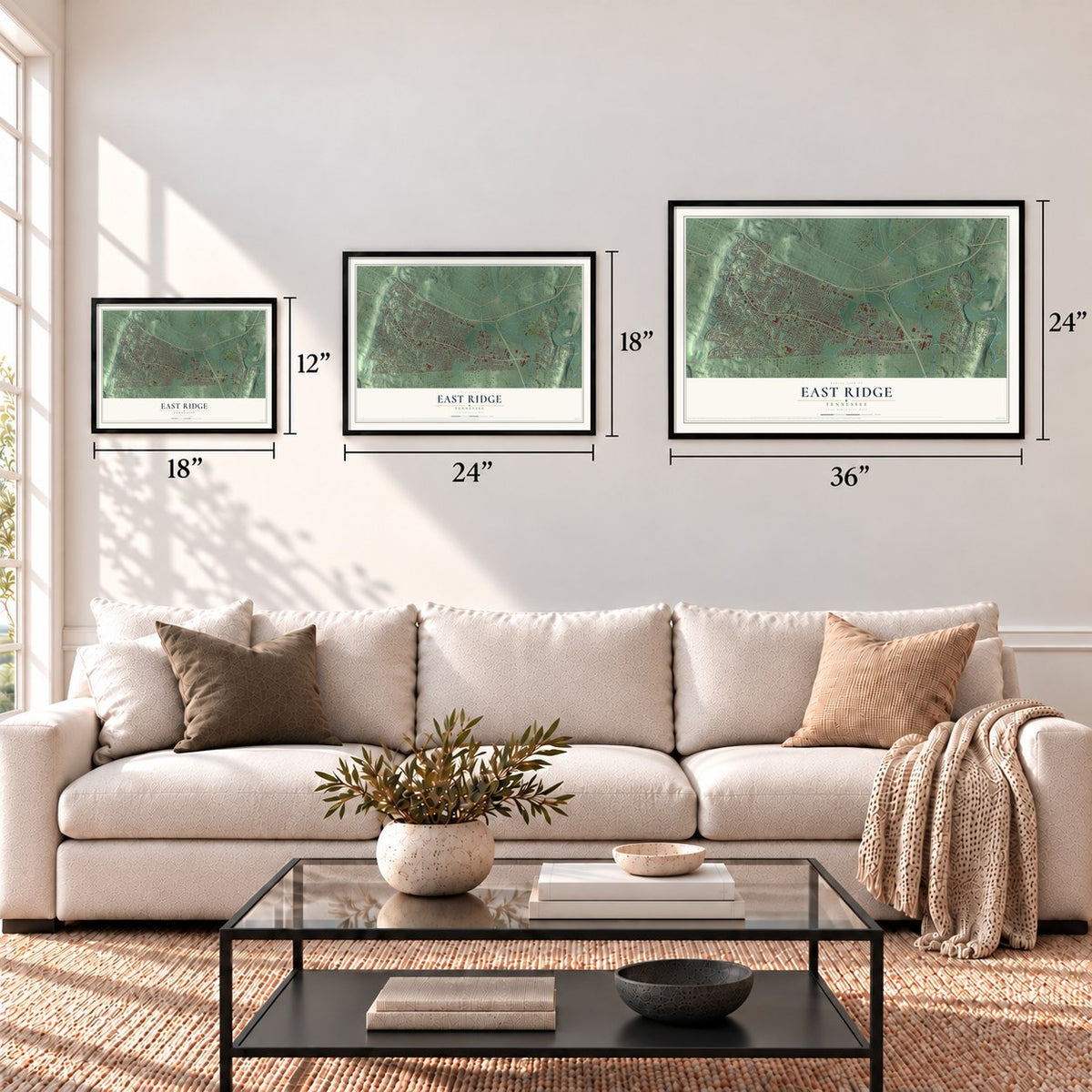
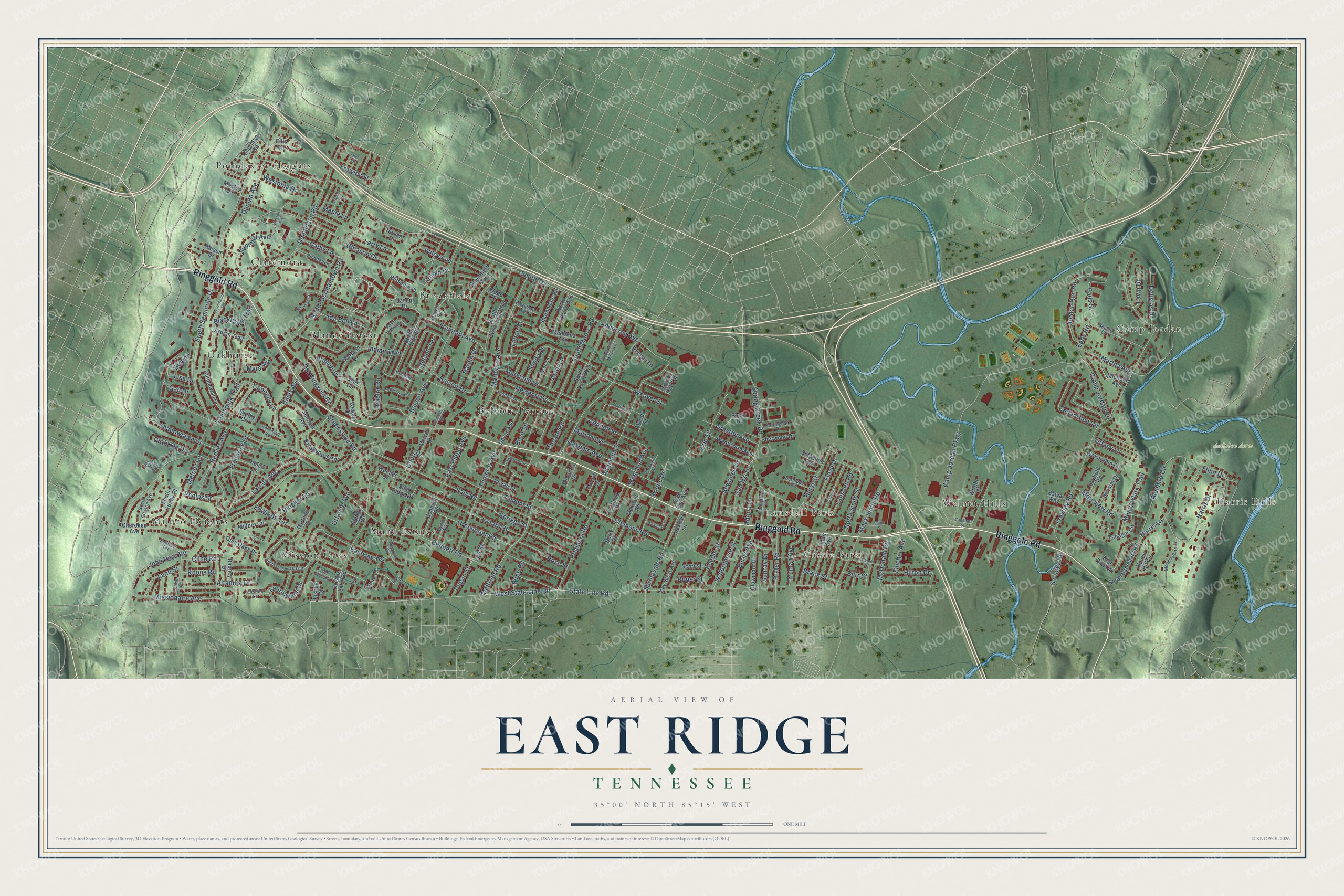
A new map of East Ridge, Tennessee, made in 2026 and printed to order on thick archival matte paper.
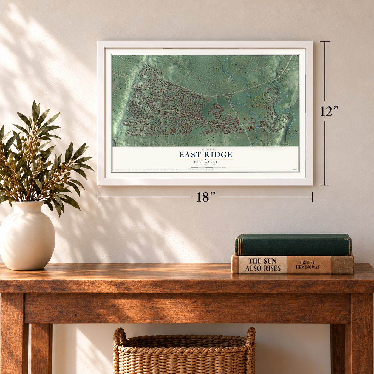
12" x 18" Archival Matte Print
A Map of Home. A Work of Art.
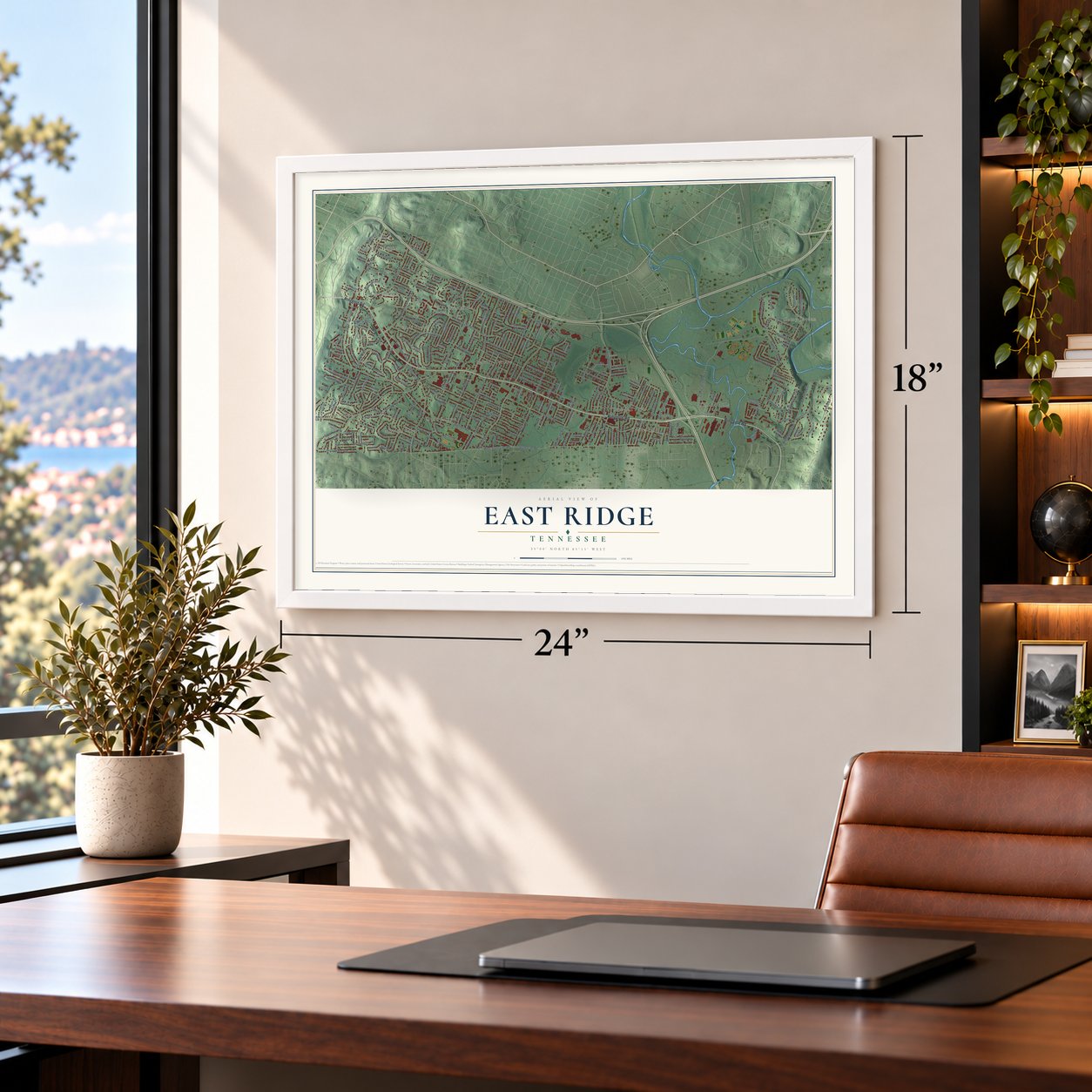
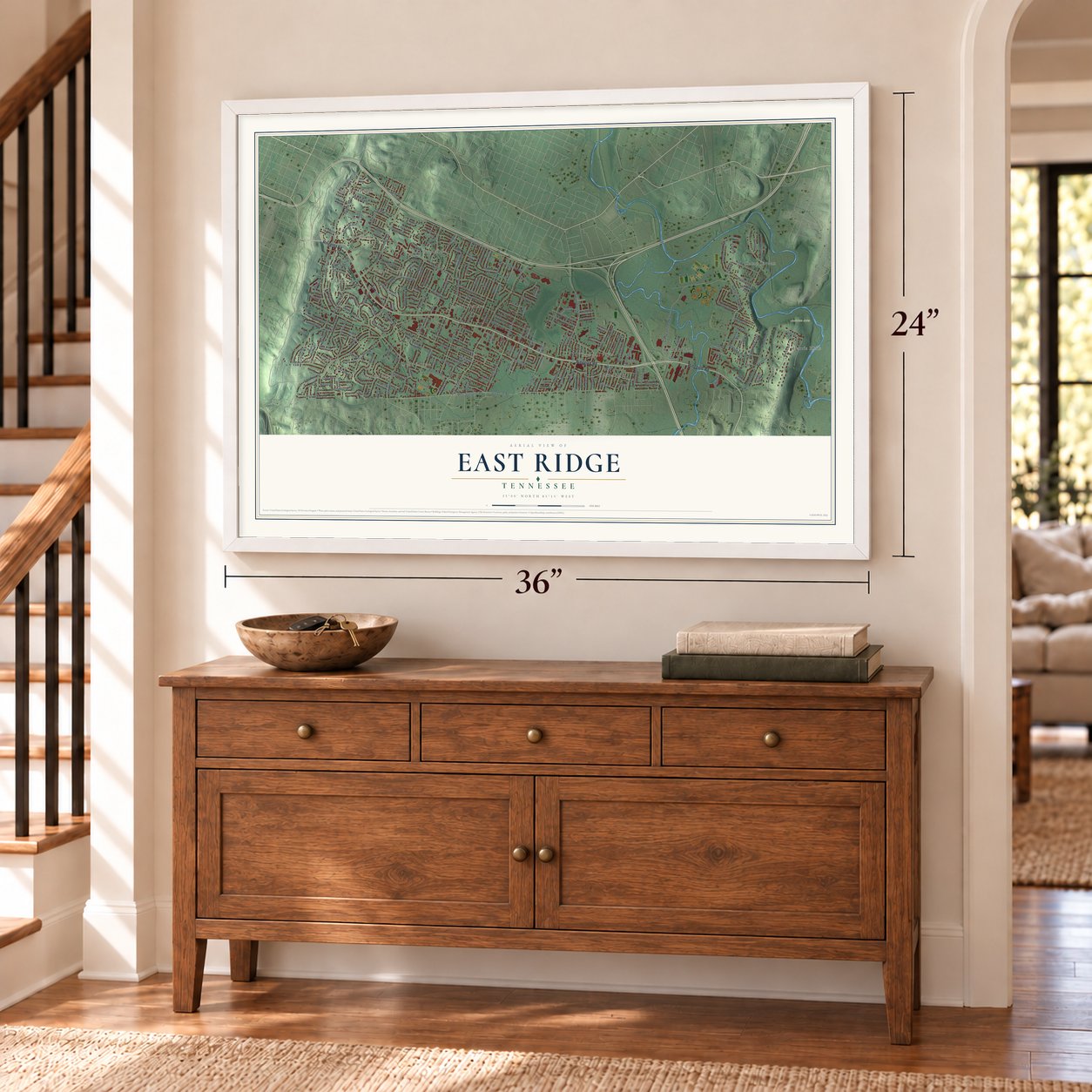
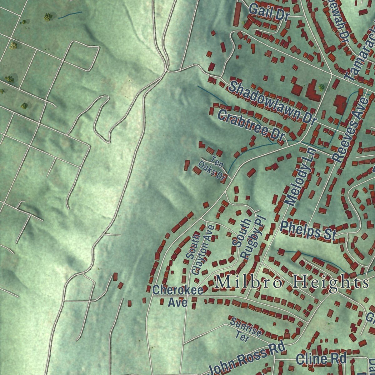
Explore East Ridge, Tennessee from a whole new perspective. Created using aerial imagery and detailed geographic data, this map captures East Ridge building by building, with labeled streets, familiar landmarks, and shaded topographical relief that highlights the natural contours of the landscape.
Combining modern data with the timeless character of a vintage atlas, this map is just as interesting up close as it is beautiful on the wall. Whether you grew up in East Ridge, spent memorable years there, or call it home today, this unique map is a great way to celebrate a place that means something to you. Zoom in on the preview to look for your street, and then order a print to put your memories on the wall.
Three ways to hang it
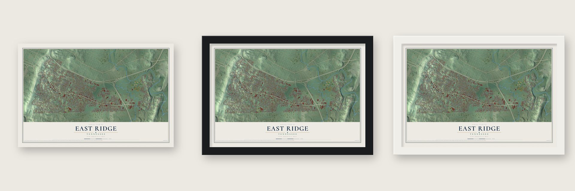
Unframed archival matte, a black wood frame or a white wood frame.
Up close
Geography Worth Displaying
This map was created using accurate cartographic data and authoritative geographic sources, including the U.S. Geological Survey and the Census Bureau. The map brings together terrain, waterways, roads, and building detail. The majority of the streets are labeled, houses are accurately depicted, and the topography is derived from government sources. Combining local data with carefully composed color and shading leads to this beautifully detailed East Ridge artwork for your wall.
Rather than simply showing street outlines, we’ve included as many of the street names as we could reasonably fit on the map while keeping their names legible. Zoom in on the high resolution preview to see exactly what’s on the map. We truly set out to create a statement piece for anyone who loves East Ridge. So whether it’s for you, or a gift for someone you love, we hope this map of East Ridge brings back fond memories.
Read the story behind this map of East Ridge, Tennessee from 2026.
About East Ridge, Tennessee
East Ridge is a city of 22,167 people in Hamilton County, between Chattanooga and the Georgia state line. It takes its name from its spot just east of Missionary Ridge. A private act of the Tennessee Legislature made it a town in April 1921, when about 300 people lived here, and S.M. Hudlow became its first mayor.
The new town's first big project was electric lighting. It sold bonds, hired a builder, and by September 1922 had 13.9 miles of lines carrying power from the Chattanooga Railway and Light Company. The Bachman Tubes opened under Missionary Ridge in 1928 and gave residents a direct route to downtown Chattanooga. The tubes and the promotion of Weldon F. Osborne brought the town new growth.
- Town Hall on Lomenick landThe Lomenicks were among the area's early settlers, along with the Conners and the Greens, who lived around Greenslake Road. In 1924 the Lomenick family gave land at Marlboro and Ringgold Roads for the first Town Hall. In 1926 the town added water lines, with water from the City Water Company of Chattanooga.
- A charter rewritten twiceUnhappy with their leaders, residents had the charter rewritten in 1933. The town lost control of schools, roads, police, fire and garbage, which went to Hamilton County and private companies. A new charter in 1954 gave East Ridge home rule, so it could change its own charter without the state legislature, and it handed many powers back to the city.
- Camp Jordan Park, bought in 1973In December 1973 the city used matching state grant money to buy a 175-acre farm on Camp Jordan Road. Work on the park began in 1978 with a $200,000 budget and was finished in 1980. Today families come for its fishing pond, walking track and amphitheater, along with 13 fields for baseball and softball and nine more for soccer.
- Tennessee's first soccer stadiumCHI Memorial Stadium opened on August 1, 2020, as the first stadium in Tennessee built only for soccer. It seats 2,500, with room for 5,500 planned. It is home to the Chattanooga Red Wolves SC and, since 2023, the Chattanooga Lady Red Wolves.
Find your street
Names on the East Ridge map
Every name below is printed on this map. Look for your street, your school, the park where you played, or the pond down the road.
Places and landmarks15
- Harris Hills
- Camp Jordan
- Audubon Acres
- Belvoir Terrace
- Blaney Forest
- Brookfield
- Castle Park
- Claremont
- Lansdell Park
- Mana Estates
- Milbro Heights
- Mission Oaks
Show all 15 places
- Oakhurst
- Poindexter Heights
- Walnut Hills
Streets and roads236
- Ringgold Road
- South Seminole Drive
- State Line Road
- Eads Street
- Eads Road
- South Terrace
- Dunlap Avenue
- Bennett Road
- Frawley Road
- John Ross Road
- McBrien Road
- Camp Jordan Parkway
- Spring Creek Road
- Fountain Avenue
- Oakdale Avenue
- Belvoir Avenue
- Old Ringgold Road
- Donaldson Road
- South Moore Road
- Greenslake Road
- Marlboro Avenue
- West State Line Road
- Greenbriar Road
- Gleason Drive
- Bluebird Circle
- Lazard Street
- Martha Avenue
- South Germantown Road
- Dupont Street
- Anderson Avenue
Show all 236 streets
- Harris Lane
- Cedar Glen Circle
- Altamaha Street
- Flinn Drive
- Ealy Road
- Prigmore Road
- Wiley Avenue
- Clemons Road
- Summitt Avenue
- Altamira Drive
- Tombras Avenue
- Mack Smith Road
- Spriggs Street
- Connelly Lane
- Tamarack Trail
- Hibbler Circle
- Edwards Terrace
- Prater Road
- Frederick Drive
- Missionaire Avenue
- Jordan Run Road
- Phelps Street
- Springvale Road
- Laredo Avenue
- Marion Avenue
- Maryland Drive
- Indian Trail
- Melody Lane
- Swope Drive
- Camp Jordan Road
- Reeves Avenue
- Shadowlawn Drive
- Belvoir Drive
- Weaver Street
- Hurst Street
- Keeble Street
- Connell Street
- Bales Avenue
- Wimberly Lane
- Larry Lane
- Waterhouse Street
- Moreview Road
- East Ridge Avenue
- Kingwood Circle
- Blocker Lane
- Yale Street
- Burns Avenue
- San Hsi Drive
- Laurelwood Drive
- Floyd Drive
- Newport Drive
- Meadowlark Trail
- Maple Lane
- Sewanee Drive
- Graston Avenue
- Truman Avenue
- North Smith Street
- Crabtree Drive
- Orlando Avenue
- Ida Bell Lane
- Rose Street
- Douglas Drive
- Harris Drive
- Choate Road
- Bimimi
- McDonald Road
- Fincher Avenue
- Hilton Drive
- Westonia Drive
- Lansdell Road
- Blackhawk Trail
- Land Street
- Frawley Street
- Cline Road
- Lisa Drive
- Cathy Lane
- Court Drive
- West End Avenue
- Eastway Terrace
- Dugan Street
- Boyd Street
- Fawn Drive
- Shady Drive
- Tiffany Lane
- Adona Lane
- Astor Lane
- Sunray Drive
- Brack Street
- Myra Avenue
- Koons Road
- Gail Drive
- Hardin Drive
- Lanoir Street
- Scruggs Road
- Wren Road
- Arnold Drive
- Lee Street
- Roper Street
- Burr Street
- Greens Lake Road
- Ellis Avenue
- South Sanctuary Road
- Brookfield Avenue
- Weldon Drive
- South Sweetbriar Avenue
- South Lovell Avenue
- Cherokee Avenue
- South Rugby Place
- McHann Drive
- Chippewah Drive
- Layfield Road
- Pine Bluff Drive
- East Ridge Drive
- Maxwell Road
- Shelby Circle
- Wentworth Avenue
- Belvoir Hills Drive
- Wade Drive
- Madonna Avenue
- Glen Oaks Drive
- Dover Avenue
- Fruitland Drive
- Tanager Circle
- Adair Avenue
- Ardian Trail
- Jason Drive
- Wilsonia Place
- Key West Avenue
- Millbro Circle
- Sheridan Road
- Wright Street
- Dabney Drive
- Glowmont Drive
- Helen Lane
- Notre Dame Avenue
- Michelle Avenue
- Benson Drive
- Schmidt Road
- Sharondale Road
- Wakerobin Drive
- Sullivan Avenue
- Haven Hill Drive
- Norma Drive
- Sherwood Drive
- Wonder Drive
- Duvall Street
- Mana Lane
- Barry Road
- Pecks Drive
- Lockhart Lane
- Sunny Dell Circle
- Merrill Street
- Reneau Lane
- Scott Street
- East End Avenue
- Joshua Drive
- Sells Circle
- Rebecca Drive
- Schofield Avenue
- Karwill Lane
- Merida Street
- Darlene Circle
- Satya Way
- Mason Drive
- Mosley Circle
- Eledge Road
- Beulah Drive
- Pinellas Lane
- South Clayton Avenue
- Mockingbird Lane
- Pyron Lane
- Sunnyfield Lane
- Dellway Circle
- Nottingham Drive
- Kenton Drive
- Belvoir Circle
- Myrtle Avenue
- Bermuda Avenue
- Pleasant Avenue
- Sunrise Terrace
- Worsham Avenue
- Justine Lane
- South Mission Oaks Drive
- Wynnwood Road
- Mount Belvoir Drive
- Cemetery Road
- Ridgefield Circle
- Blanton Drive
- Woodmont Drive
- Woodard Circle
- Close Road
- South Saint Marks Avenue
- Garner Street
- Esterbrook Drive
- West Stump Street
- Merrimac Circle
- Stimpson Drive
- Whitehead Avenue
- Slater Street
- Matthews Drive
- Alice Drive
- Ten Oaks Drive
- Capehart Street
- Weston Avenue
- Cecil Lane
- Cora Drive
Names are listed as they appear on the printed map. Zoom into the product photos to find them.
The art of mapping a place
How This Map Was Made
Real places. Remarkable detail. Discover the layers that turn geographic data into a map of home.

The view from above
Aerial imagery reveals the character of the land: woodland, open fields, and the patterns of a place.

The shape of the land
Elevation data brings hills, valleys, and subtle changes in the landscape into view.

The details of home
Roads, waterways, and building footprints come together to make the map feel unmistakably local.

Geography becomes art
Considered color, shading, and typography bring the layers together in a map made for your wall.


Process illustrated with Mendon, Massachusetts. Aerial imagery: USDA NAIP. Terrain: USGS 3D Elevation Program. Map details and finished artwork: KNOWOL.
The Details
About This Print
Choose an archival matte print, or a black or white Ayous wood frame. The archival matte print is unframed.
Select your size and finish above to see the matching product image and price.
Materials & Craftsmanship
A contemporary map with the character of a classic atlas, printed on archival matte paper. Optional frames are made from Ayous wood.
Your printed map does not include the watermark shown in the full-map preview.
Shipping & Delivery
Free shipping within the United States. Every print is made to order in the USA.
Buying a gift? Add a note in your cart and we'll include it. We never put prices in the package.
Prints ship within 2 to 3 business days. Allow 7 to 10 days total from ordering for delivery. Timing may vary during holidays or periods of high order volume.
Read our shipping policy.
Returns and damaged prints
Each print is made to order. Change-of-mind refunds are not available after production.
If your print arrives damaged, misprinted or incorrect, contact support@knowol.com within 30 days of receiving it. Include your order number, photos and a description of the issue.
Read our full refund and replacement policy. For questions about your order, email support@knowol.com.
Find your town
Looking for another city?
Find a map of home in our Tennessee collection, or any town in the country.
Nearby
Maps of towns near East Ridge
Know someone from one of these towns? Their map makes a great gift.
 Ridgeside
, Tennessee
From $39.99See the map
 Chattanooga
, Tennessee
From $39.99See the map
 Lookout Mountain
, Tennessee
From $39.99See the map
More maps nearby: Red Bank, Harrison, Collegedale, Ooltewah and Signal Mountain.