
Search for another town



Free U.S. delivery 7 to 10 days after you order
East Wenatchee, Washington Map Art
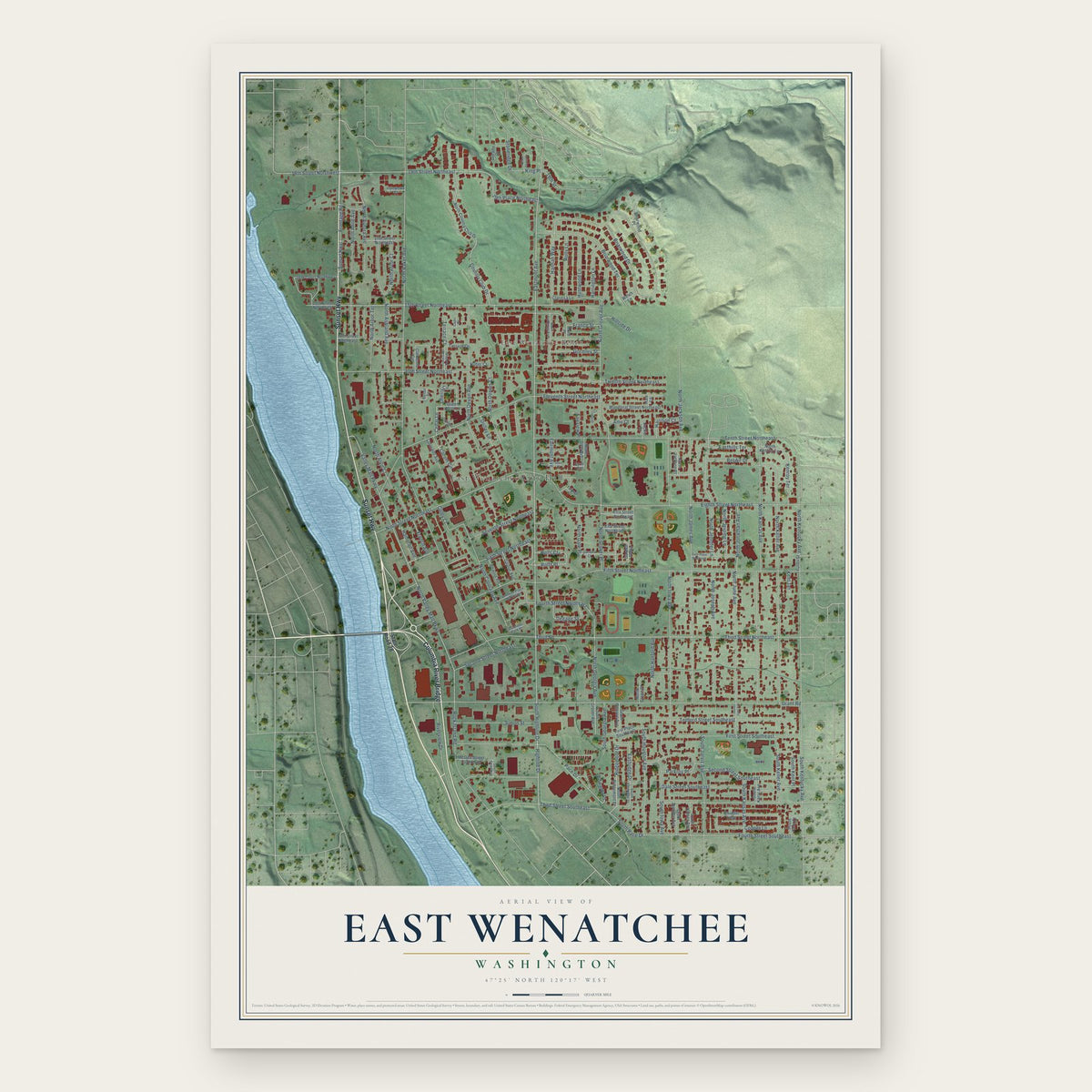
A new map of East Wenatchee, Washington, made in 2026 and printed to order on thick archival matte paper.
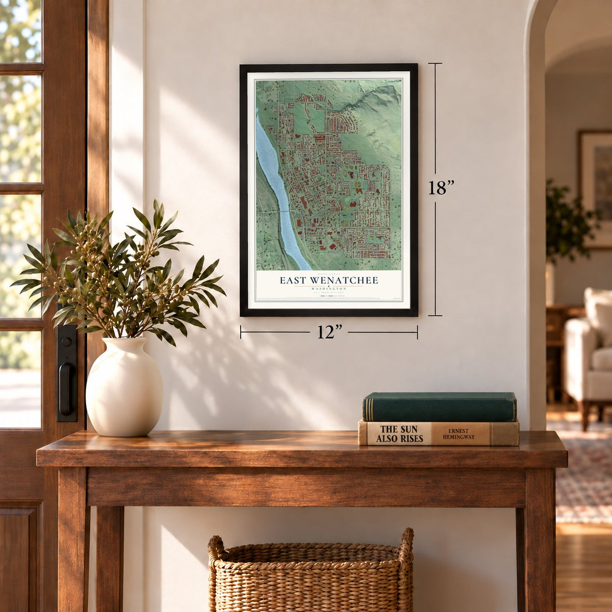
12" x 18" Archival Matte Print
A Map of Home. A Work of Art.
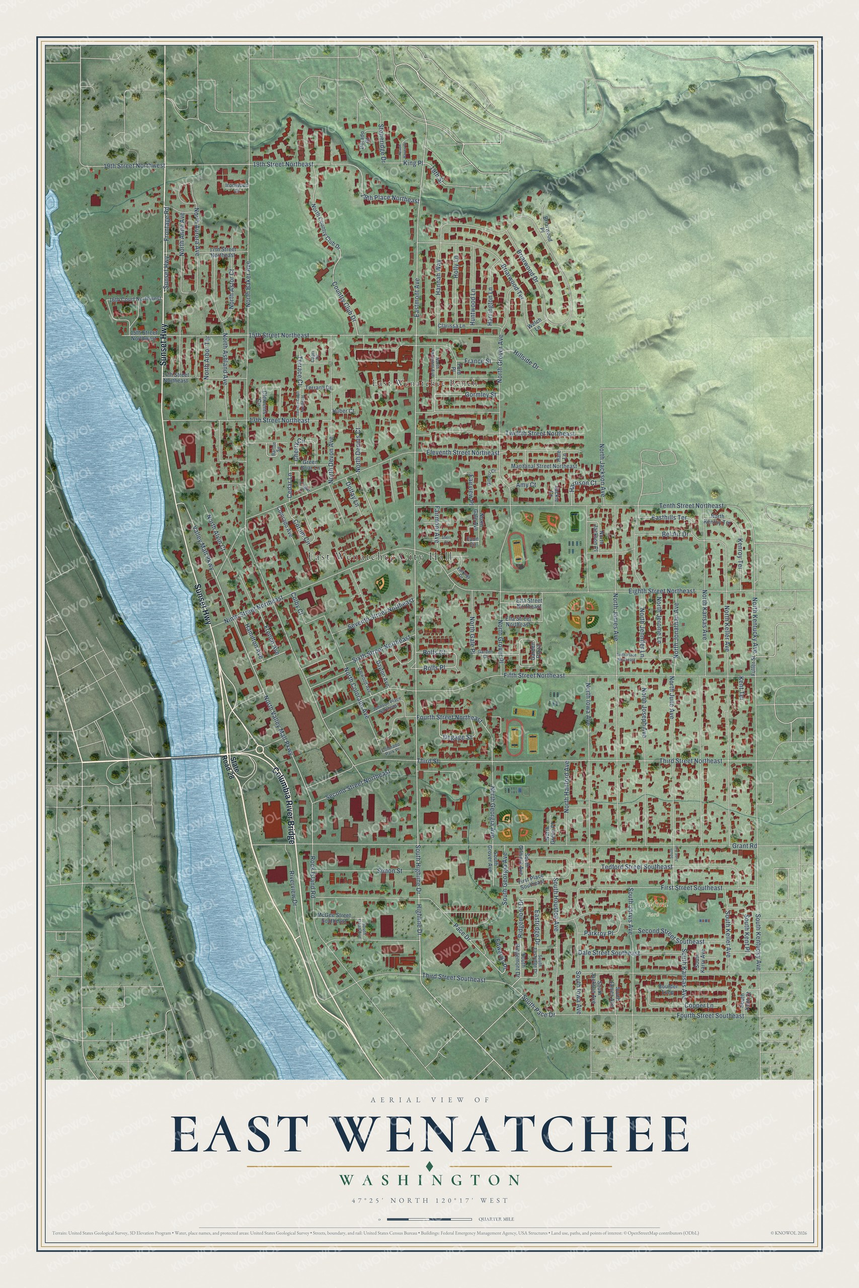
Explore East Wenatchee, Washington from a whole new perspective. Created using aerial imagery and detailed geographic data, this map captures East Wenatchee building by building, with labeled streets, familiar landmarks, and shaded topographical relief that highlights the natural contours of the landscape.
Combining modern data with the timeless character of a vintage atlas, this map is just as interesting up close as it is beautiful on the wall. Whether you grew up in East Wenatchee, spent memorable years there, or call it home today, this unique map is a great way to celebrate a place that means something to you. Zoom in on the preview to look for your street, and then order a print to put your memories on the wall.
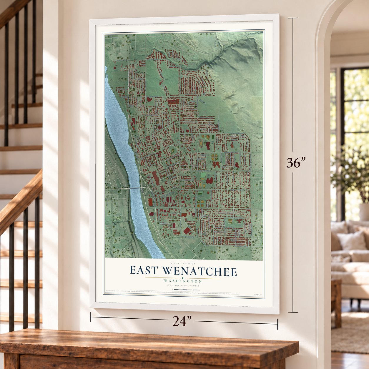
Three ways to hang it
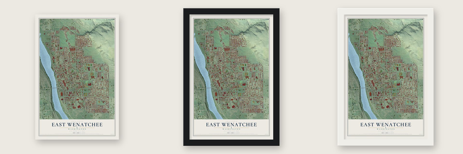
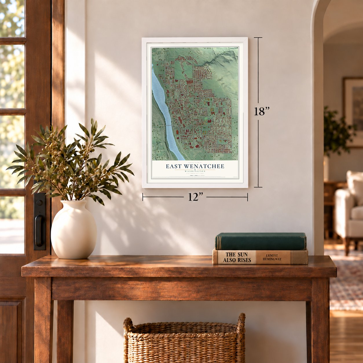
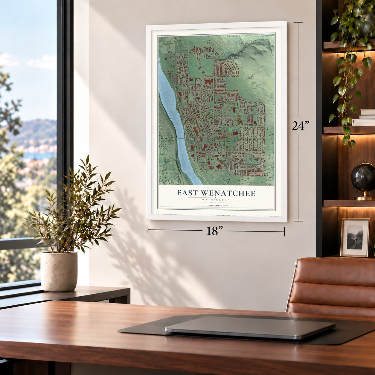
Unframed archival matte, a black wood frame or a white wood frame.
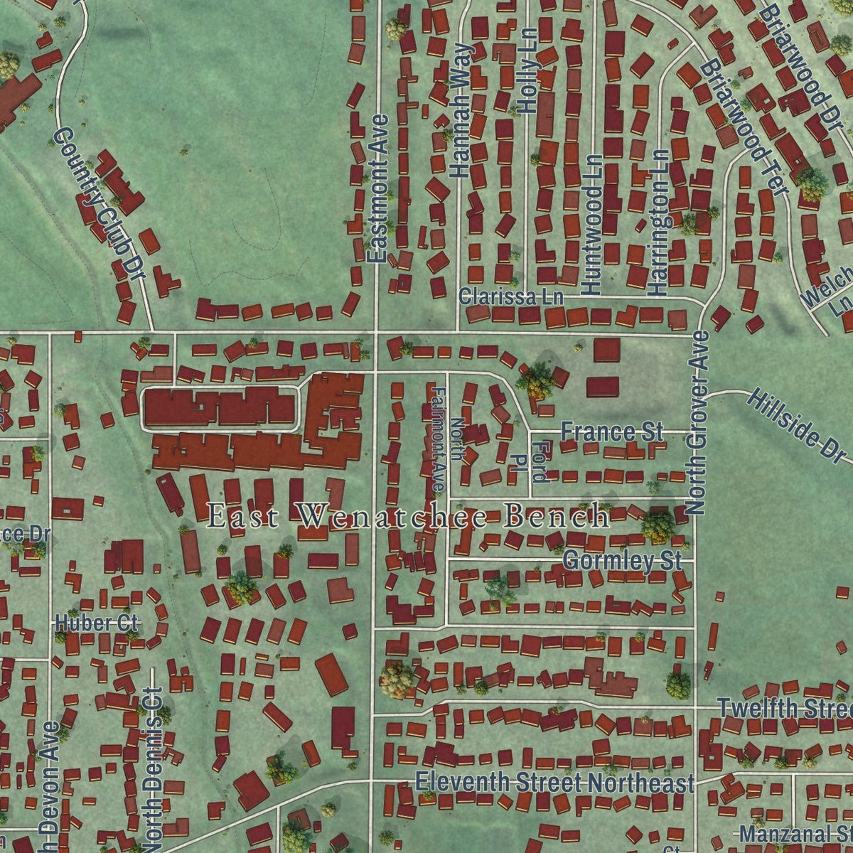
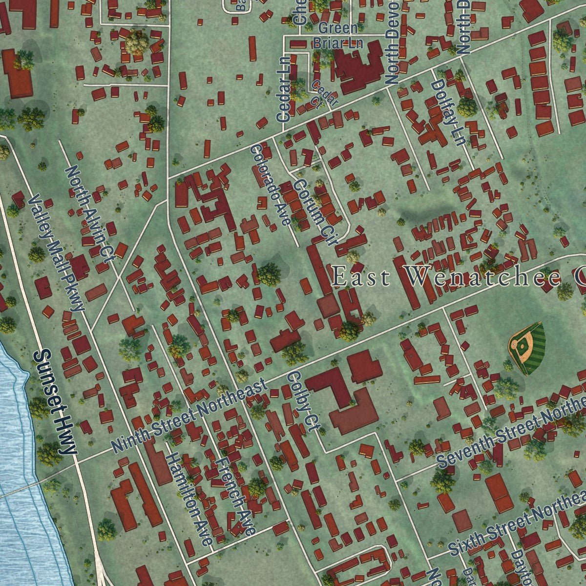
Up close
Geography Worth Displaying
This map was created using accurate cartographic data and authoritative geographic sources, including the U.S. Geological Survey and the Census Bureau. The map brings together terrain, waterways, roads, and building detail. The majority of the streets are labeled, houses are accurately depicted, and the topography is derived from government sources. Combining local data with carefully composed color and shading leads to this beautifully detailed East Wenatchee artwork for your wall.
Rather than simply showing street outlines, we’ve included as many of the street names as we could reasonably fit on the map while keeping their names legible. Zoom in on the high resolution preview to see exactly what’s on the map. We truly set out to create a statement piece for anyone who loves East Wenatchee. So whether it’s for you, or a gift for someone you love, we hope this map of East Wenatchee brings back fond memories.
Read the story behind this map of East Wenatchee, Washington from 2026.

About East Wenatchee, Washington
East Wenatchee is a city of 14,158 people in Douglas County, on the east bank of the Columbia River across from Wenatchee. Harry Patterson staked the first homestead claim here in 1888, but the sandy bench below Badger Mountain had almost no water, and for years the only link to Wenatchee was an unreliable ferry. In 1907 W.T. Clark proposed a bridge to carry both traffic and an irrigation pipe from the High Line Canal. It opened in 1908 as the first highway bridge anywhere on the Columbia, and within two or three years nearly all the land below the canal was planted in orchards.
Young merchants opened stores and offices where the bridge reached the east bank, on today's Ninth Street, so farmers no longer had to cross the river for supplies. On February 28, 1935, voters chose to incorporate by just 48 to 46, and the state filed the papers on March 11. The town had only 268 residents in 1940, but subdivisions began to spread in 1950, and East Wenatchee grew into the largest city in Douglas County.
“A weary waste of worthless ground, entirely in the possession of the jackrabbit and the coyote.”
- A $177,000 bridgeThe 1908 bridge, a 1,060-foot steel cantilever, was paid for partly by James J. Hill of the Great Northern Railway. The canal company that owned it began charging tolls in its second year, so local leaders asked the legislature to have the state buy it, though the state's consultant called it ugly. It carried full traffic until the Senator George Sellar Bridge was built in 1950.
- Fancher Field, named in 1928The airfield opened in 1926 on farm ground northeast of the hamlet. In April 1928 Major John T. Fancher, who led the 116th Aviation Squadron out of Spokane, came for a nighttime air show and dropped small bombs on the field to show new techniques. After landing he was examining one that had failed to go off when it exploded and killed him, and the field took his name right away.
- First nonstop across the PacificOn October 5, 1931, Clyde Pangborn and Hugh Herndon Jr. landed at Fancher Field about 41 hours after leaving Misawa, Japan. They had dropped their landing gear over the ocean to save fuel, and Pangborn, whose mother lived in East Wenatchee, trusted the sandy strip for a belly landing. After overshooting toward Spokane they turned back, with Herndon crawling toward the tail. The plane slid to a stop on its nose without flipping, and both men were safe.
- Clovis points in an orchardOn May 27, 1987, two orchard workers digging east of the city found a cache of Clovis spear points and other tools made 11,000 or 12,000 years ago, among the oldest human artifacts found in America. Archaeologists dug at the site in 1988 and 1990.
- A golf course on sand dunesThe Wenatchee Golf and Country Club was founded in 1924 on sand dunes covered in sagebrush, on ground that is now part of East Wenatchee. Its builders laid irrigation pipe and hired a Scotsman to oversee construction, and the club is still there, much expanded.
Find your street
Names on the East Wenatchee map
Every name below is printed on this map. Look for your street, your school, the park where you played, or the pond down the road.
Places and landmarks3
- East Wenatchee City Hall
- Tedford Park
- East Wenatchee Bench
Streets and roads165
- Sunset Highway
- Columbia River Bridge
- Eastmont Avenue
- 15th Street Northeast
- Hannah Way
- 19th Street Northeast
- South Highline Drive
- Corum Circle
- North Baker Avenue
- North Georgia Avenue
- 19th Street Northwest
- Edwards Place
- North Kentucky Avenue
- Pace Drive
- Ridgemont Drive
- Grant Road
- Fifth Street Northeast
- Third Street Northeast
- Eleventh Street Northeast
- Third Street Southeast
- Eighth Street Northeast
- North Valley Mall Parkway
- Valley Mall Parkway
- Briarwood Drive
- North Kansas Avenue
- North James Avenue
- Third Street
- Tenth Street Northeast
- North Keller Avenue
- Second Street Southeast
Show all 165 streets
- North Grover Avenue
- First Street Southeast
- North Iowa Avenue
- Ninth Street Northeast
- North Devon Avenue
- 13th Street Northeast
- Tedford Street Southeast
- Fourth Street Southeast
- North Ashland Avenue
- Twelfth Street Northeast
- North Aurora Avenue
- North Colorado Avenue
- Country Club Drive
- Riverview Drive
- Briarwood Terrace
- South Kentucky Avenue
- North Joseph Avenue
- North June Avenue
- South Iowa Avenue
- Rock Island Road
- North Jennifer Lane
- North Anne Avenue
- South Houston Avenue
- Second Street Northeast
- Highline Drive
- South Jarvis Avenue
- Fourth Street Northeast
- Eastridge Drive
- Sixth Street Northeast
- Fairmont Avenue
- North Alvin Court
- Dale Street Southeast
- North Jackson Avenue
- Simon Street
- Seventh Street Northeast
- Copper Lane
- Kenroy Terrace
- North Astor Court
- North Dennis Court
- 19th Place Northeast
- Frontage Road
- South Keller Avenue
- North Jonathan Avenue
- North Hanford Avenue
- North Arbor Terrace
- North Grover Place
- Holly Lane
- South Pace Drive
- Huntwood Lane
- South Kansas Avenue
- Degage Street
- Bel Air Drive
- Harrington Lane
- Easthills Terrace
- Terrace Court
- South Georgia Avenue
- North Jerome Lane
- Gormley Street
- Cherry Circle
- North Gale Place
- South Kent Place
- Harrison Court
- French Avenue
- Hillside Drive
- Parkroy Place
- Rolfs Place
- Rolfs Court
- Hamilton Avenue
- France Street
- Stoneridge Drive
- Dolfay Lane
- King Place
- Fairview Place
- Cedar Lane
- Colby Court
- 19th Street
- Amy Court
- Kent Terrace
- State Road 28
- South Ridgemont Drive
- North Country Club Drive
- 14th Street Northeast
- North Kenroy Terrace
- Garden Plaza
- Boulder Loop
- Clements Circle
- First Place Southeast
- 17th Street Northeast
- Manzanal Street Northeast
- Clarissa Lane
- 16th Court Northwest
- McGee Street Southeast
- Faun Circle
- Colorado Avenue
- South Jackson Avenue
- South James Avenue
- Ella Street Northeast
- North Jackson Place
- Etta Street Northeast
- South Grover Avenue
- 15th Street Northwest
- Green Briar Lane
- Briarwood Place
- Dayton Avenue
- North Gale Avenue
- South Kent Court
- South Gilmore Avenue
- Dorado Court
- South Karry Avenue
- Terrace Drive
- North Green Place
- Huber Court
- Ironwood Court
- Fuller Street
- Welch Lane
- Jackie Lane
- Ford Place
- Hale Lane
- Garden Court
- North Fairmont Avenue
- South Eastridge Drive
- Johnson Place Northeast
- Darwood Avenue
- Cedar Court
- Barton Square
- Gilbert Court
- South Dean Avenue
- Colorado Park Place
- Fairway Drive
- Capri Drive
- Terrace Court Northeast
- Sixth Place Northeast
- South June Avenue
- Peach Haven Court
- Sheri Court
Names are listed as they appear on the printed map. Zoom into the product photos to find them.
The art of mapping a place
How This Map Was Made
Real places. Remarkable detail. Discover the layers that turn geographic data into a map of home.

The view from above
Aerial imagery reveals the character of the land: woodland, open fields, and the patterns of a place.

The shape of the land
Elevation data brings hills, valleys, and subtle changes in the landscape into view.

The details of home
Roads, waterways, and building footprints come together to make the map feel unmistakably local.

Geography becomes art
Considered color, shading, and typography bring the layers together in a map made for your wall.


Process illustrated with Mendon, Massachusetts. Aerial imagery: USDA NAIP. Terrain: USGS 3D Elevation Program. Map details and finished artwork: KNOWOL.
The Details
About This Print
Choose an archival matte print, or a black or white Ayous wood frame. The archival matte print is unframed.
Select your size and finish above to see the matching product image and price.
Materials & Craftsmanship
A contemporary map with the character of a classic atlas, printed on archival matte paper. Optional frames are made from Ayous wood.
Your printed map does not include the watermark shown in the full-map preview.
Shipping & Delivery
Free shipping within the United States. Every print is made to order in the USA.
Buying a gift? Add a note in your cart and we'll include it. We never put prices in the package.
Prints ship within 2 to 3 business days. Allow 7 to 10 days total from ordering for delivery. Timing may vary during holidays or periods of high order volume.
Read our shipping policy.
Returns and damaged prints
Each print is made to order. Change-of-mind refunds are not available after production.
If your print arrives damaged, misprinted or incorrect, contact support@knowol.com within 30 days of receiving it. Include your order number, photos and a description of the issue.
Read our full refund and replacement policy. For questions about your order, email support@knowol.com.
Find your town
Looking for another city?
Find a map of home in our Washington collection, or any town in the country.
Nearby
Maps of towns near East Wenatchee
Know someone from one of these towns? Their map makes a great gift.
 South Wenatchee
, Washington
From $39.99See the map
 Wenatchee
, Washington
From $39.99See the map
 Sunnyslope
, Washington
From $39.99See the map
More maps nearby: Rock Island, Cashmere, Entiat, Waterville and Crescent Bar.