


Search for another town





Free U.S. delivery 7 to 10 days after you order
Eden, North Carolina Map Art
Building by building, with labeled streets and shaded relief.
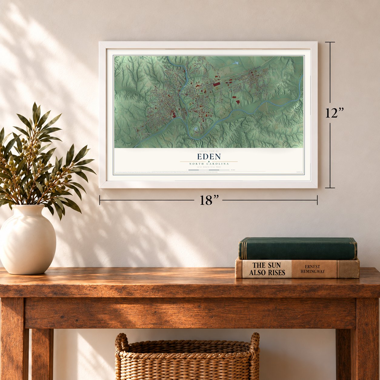
12" x 18" Archival Matte Print
A Map of Home. A Work of Art.
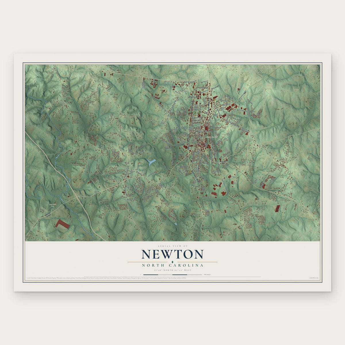
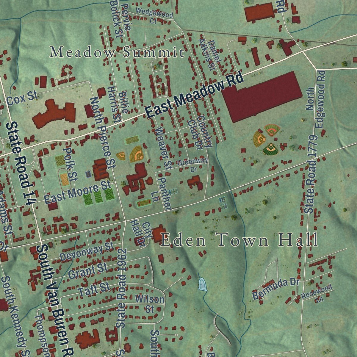
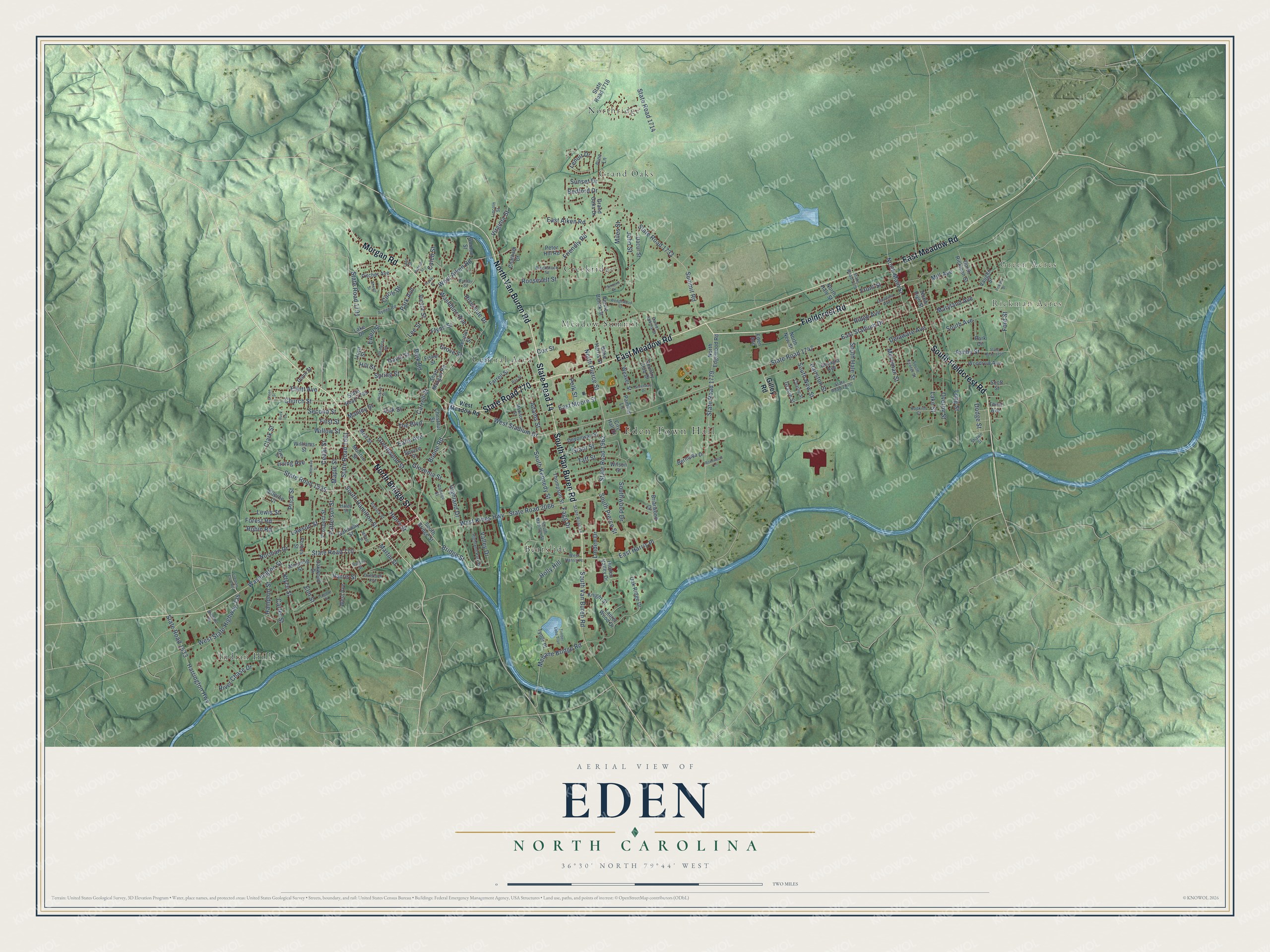
Explore Eden, North Carolina from a whole new perspective. Created using aerial imagery and detailed geographic data, this map captures Eden building by building, with labeled streets, familiar landmarks, and shaded topographical relief that highlights the natural contours of the landscape.
Combining modern data with the timeless character of a vintage atlas, this map is just as interesting up close as it is beautiful on the wall. Whether you grew up in Eden, spent memorable years there, or call it home today, this unique map is a great way to celebrate a place that means something to you. Zoom in on the preview to look for your street, and then order a print to put your memories on the wall.
Three ways to hang it
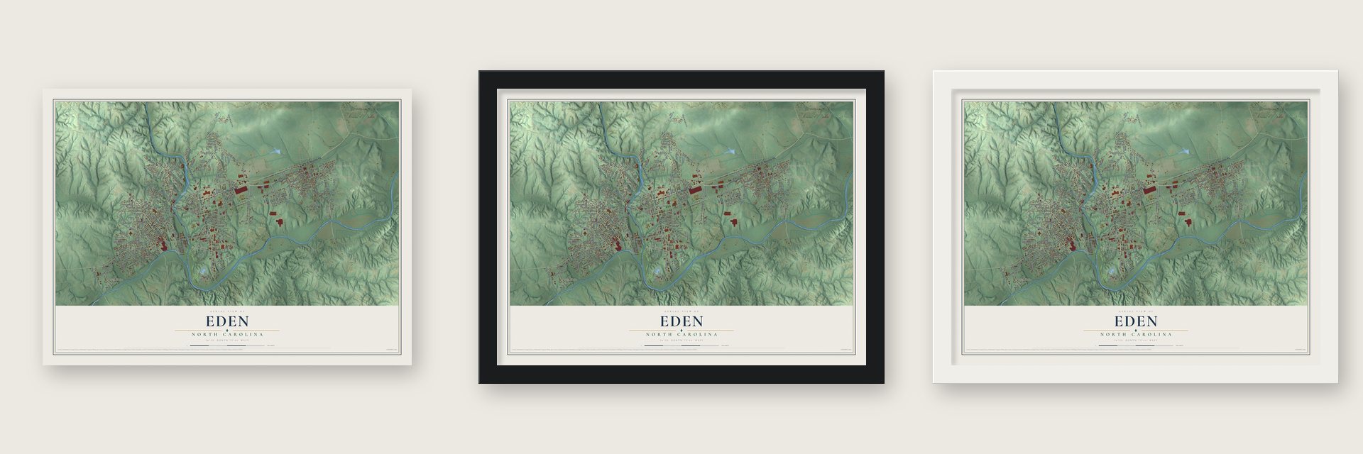
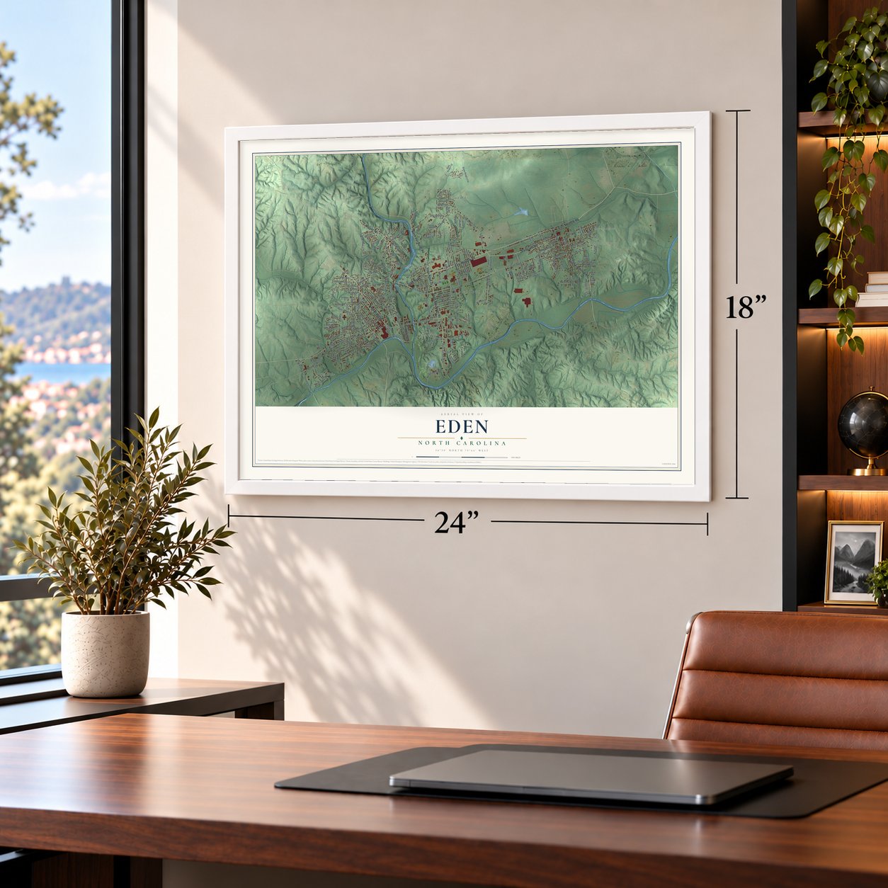
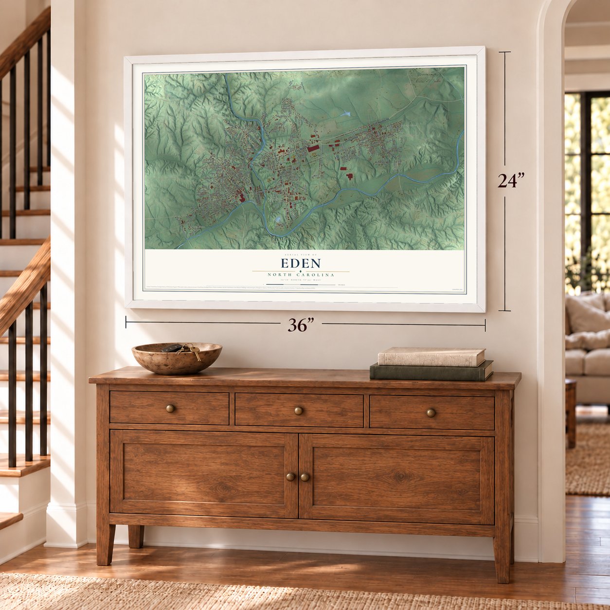
Unframed archival matte, a black wood frame or a white wood frame.
Up close
Geography Worth Displaying
This map was created using accurate cartographic data and authoritative geographic sources, including the U.S. Geological Survey and the Census Bureau. The map brings together terrain, waterways, roads, and building detail. The majority of the streets are labeled, houses are accurately depicted, and the topography is derived from government sources. Combining local data with carefully composed color and shading leads to this beautifully detailed Eden artwork for your wall.
Rather than simply showing street outlines, we’ve included as many of the street names as we could reasonably fit on the map while keeping their names legible. Zoom in on the high resolution preview to see exactly what’s on the map. We truly set out to create a statement piece for anyone who loves Eden. So whether it’s for you, or a gift for someone you love, we hope this map of Eden brings back fond memories.
Read the story behind this map of Eden, North Carolina from 2026.

Find your street
Names on the Eden map
Every name below is printed on this map. Look for your street, your school, the park where you played, or the pond down the road.
Places and landmarks10
- Eden Town Hall
- Green Acres
- Rickman Acres
- Bearslide
- Central Area
- Creekridge
- Grand Oaks
- Indian Hills
- Meadow Summit
- Northridge
Streets and roads221
- North Bridge Street
- South Van Buren Road
- State Road 14
- North Van Buren Road
- State Road 770
- South Fieldcrest Road
- Morgan Road
- East Meadow Road
- Fieldcrest Road
- Washington Street
- South Hamilton Street
- Boone Road
- Bridge Street
- Fagg Drive
- West Stadium Drive
- Taft Street
- State Road 1962
- Valley Drive
- State Road 1747
- East Stadium Drive
- Virginia Street
- North Pierce Street
- State Road 1714
- Harris Street
- Church Street
- Maryland Avenue
- State Road 1733
- Summit Road
- Cedar Street
- East Aiken Road
Show all 221 streets
- State Road 2066
- West Kings Highway
- South Avenue
- State Road 1779
- Irving Avenue
- State Road 1561
- Highland Drive
- Friendly Road
- Early Avenue
- South Pierce Street
- Ridge Avenue
- Riverside Drive
- Greenwood Street
- Henry Street
- Mill Avenue
- State Road 1535
- Roosevelt Street
- Harrington Highway
- State Road 1533
- The Boulevard
- John Street
- Park Road
- Front Street
- Elm Street
- Lawson Street
- West State Highway 135
- Mebane Bridge Road
- Klyce Street
- Glovenia Street
- East Harris Place
- Victor Street
- First Street
- Price Street
- West Aiken Road
- Oak Street
- Lake Street
- Southwood Drive
- South Kennedy Street
- State Road 1791
- Delaware Avenue
- Circle Drive
- Overby Street
- Ellett Avenue
- Patterson Street
- Ashby Street
- Washburn Avenue
- Second Street
- North Main Street
- Merriman Street
- South Hale Street
- Long Street
- Spring Street
- Maple Street
- Hampton Street
- Cox Street
- Bedford Drive
- Sunset Drive
- Grant Street
- Flynn Street
- Clark Street
- Adams Street
- Park Avenue
- South New Street
- Grove Street
- River Chase Drive
- East Moore Street
- Carter Street
- Hairston Street
- Willow Street
- Robin Road
- Norman Drive
- Dodge Street
- Lewis Street
- Forest Road
- Ewell Street
- Linden Drive
- Holly Hill
- Carroll Street
- Lee Street
- Martin Street
- Miles Street
- Manley Street
- Caleb Street
- Davis Street
- Polk Street
- Lenoir Drive
- Ford Street
- Hill Street
- Gilley Road
- South Bridge Street
- Thompson Street
- State Road 1716
- Chatham Court
- Gracie Street
- State Road 1785
- Pervie Bolick Street
- Oak Ridge Drive
- Moir Street
- Monroe Street
- Manning Street
- Chestnut Street
- Wilson Street
- Farrell Street
- Country Club Drive
- Gordon Street
- North Hale Street
- Billie Harris Street
- West Avenue
- Williams Street
- North Edgewood Road
- Woodrow Avenue
- Georgia Avenue
- Galloway Street
- Laurel Wood Drive
- Prospect Street
- Devonway Street
- Briarwood Drive
- Pitcher Avenue
- North Rickman Street
- City Hall Drive
- Oakwood Drive
- Weaver Street
- Dunn Street
- Dacur Street
- Tyner Place
- Bermuda Drive
- Decatur Street
- Short Morgan Road
- North New Street
- Pine Lane
- Ellerbe Court
- Knight Street
- Lake Drive
- Grand Oaks Drive
- Forbes Street
- Scott Street
- North High Street
- Hidden Valley Drive
- Vaughn Street
- Panther Lane
- Fisher Street
- Peter Hill Road
- Spruce Street
- Eden Avenue
- Lloyd Street
- Park Circle
- Third Avenue
- West Meadow Road
- West Harris Place
- State Road 1774
- Carolina Avenue
- Patrick Street
- South Center Street
- Highland Park Drive
- Burton Street
- Dameron Street
- State Road 2076
- Haled Street
- South Madison Street
- College Street
- Madison Street
- Ayden Road
- Lincoln Street
- Turner Street
- Daniel Adkins Street
- Overlook Avenue
- Hopkins Court
- Blackstock Street
- Charlie Street
- Dyer Street
- Shawn Street
- State Road 1750
- Trogdon Drive
- Coleman Street
- Ray Street
- Greenway Drive
- Shedd Street
- Wedgewood Court
- Brammer Road
- Timber Lake Trail
- Hudson Street
- Fraker Place
- Rosewood Lane
- Fairmont Drive
- Hickory Street
- Fireman Club Road
- Millner Street
- Powell Street
- Green Street
- Buck Lane
- Land Street
Names are listed as they appear on the printed map. Zoom into the product photos to find them.
About Eden, North Carolina
Eden is a city of 15,421 people in Rockingham County, where the Smith River meets the Dan. By the mid-1700s this land sat inside a 70,000-acre estate owned by William Byrd II, who called it "The Land of Eden." He hoped to settle it with Swiss Protestants, but the one boatload known to have sailed was wrecked in a December gale off Virginia. Byrd died on August 26, 1744, with his colony never built.
His son, William Byrd III, wanted cash more than colonists. On November 8, 1755, he sold 26,000 acres to Simon and Francis Farley, merchant brothers from Antigua. Settlers squatted on much of it, and the tract took the name Sauratown, after an old Indian village near Town Creek. Two centuries later, after earlier votes had failed, Leaksville, Draper, Spray and the Meadows Greens Sanitary District agreed to merge on September 12, 1967, by 2,252 votes to 1,753. The new city took Byrd's old name.
- Fieldcrest's home since 1893B. Frank Mebane, who had married into the Morehead family, opened the first of his six textile mills here in 1893. Marshall Field bought the business in 1912 and gave it the name Fieldcrest. Its sheets and blankets kept more than 3000 people at work. Fieldcrest bought Cannon Mills in 1986 and was sold to Pillowtex in 1997. In 2003 Pillowtex shut down its plants in Eden, and the final 495 mill workers lost their jobs.
- From brewery to PurinaAs the textile mills closed, Miller Brewing Company's Eden brewery became the town's leading industry. In 2012 it still had nearly seven hundred workers and brewed nine million barrels a year. Miller announced in 2015 that the brewery would shut by September 2016. In September 2020, Nestle Purina said it would take over the old MillerCoors plant, with an opening set for 2022.
- The TripletsThe three mill towns fielded one minor league baseball team, the Leaksville-Draper-Spray Triplets. They played in the Bi-State League from 1934 through 1942 and won the championship in 1935 and again in 1942. Over the years the club served as a farm team for the Chicago Cubs, the Cleveland club and the Brooklyn Dodgers.
- River Fest every SeptemberOn the third weekend of September, Eden holds River Fest on Washington Street in old Leaksville to celebrate its art, history and rivers. The Eden Preservation Society opened the Eden Museum on September 19, 2009, and the city won an All-America City Award in 2011.
Keep exploring North Carolina
Eden is one of 952 North Carolina towns we've mapped. Every dot on the map is a print of its own.
The search covers every state, North Carolina first.
Near Eden
Order 2 or more town maps and save 10%. Shown in the size and finish you picked above, so they hang as a set.
- Wentworth 12" x 18" / Archival Matte Print $39.99
- Stoneville 12" x 18" / Archival Matte Print $39.99
- Reidsville 12" x 18" / Archival Matte Print $39.99


More maps nearby: Ruffin, Mayodan, Bethany, Monroeton and Madison.
The art of mapping a place
How This Map Was Made
Real places. Remarkable detail. Discover the layers that turn geographic data into a map of home.

The view from above
Aerial imagery reveals the character of the land: woodland, open fields, and the patterns of a place.

The shape of the land
Elevation data brings hills, valleys, and subtle changes in the landscape into view.

The details of home
Roads, waterways, and building footprints come together to make the map feel unmistakably local.

Geography becomes art
Considered color, shading, and typography bring the layers together in a map made for your wall.


Process illustrated with Mendon, Massachusetts. Aerial imagery: USDA NAIP. Terrain: USGS 3D Elevation Program. Map details and finished artwork: KNOWOL.
The Details
About This Print
Choose an archival matte print, or a black or white Ayous wood frame. The archival matte print is unframed.
Select your size and finish above to see the matching product image and price.
Materials & Craftsmanship
A contemporary map with the character of a classic atlas, printed on archival matte paper. Optional frames are made from Ayous wood.
Your printed map does not include the watermark shown in the full-map preview.
Shipping & Delivery
Free shipping within the United States. Every print is made to order in the USA.
Buying a gift? Add a note in your cart and we'll include it. We never put prices in the package.
Prints ship within 2 to 3 business days. Allow 7 to 10 days total from ordering for delivery. Timing may vary during holidays or periods of high order volume.
Read our shipping policy.
Returns and damaged prints
Each print is made to order. Change-of-mind refunds are not available after production.
If your print arrives damaged, misprinted or incorrect, contact support@knowol.com within 30 days of receiving it. Include your order number, photos and a description of the issue.
Read our full refund and replacement policy. For questions about your order, email support@knowol.com.