
Search for another town
Free U.S. delivery 7 to 10 days after you order
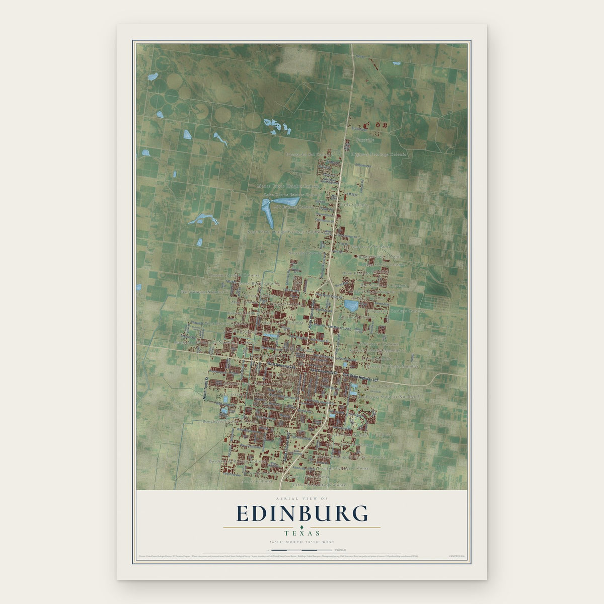
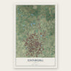
Edinburg, Texas Map Art
Building by building, with labeled streets and shaded relief.
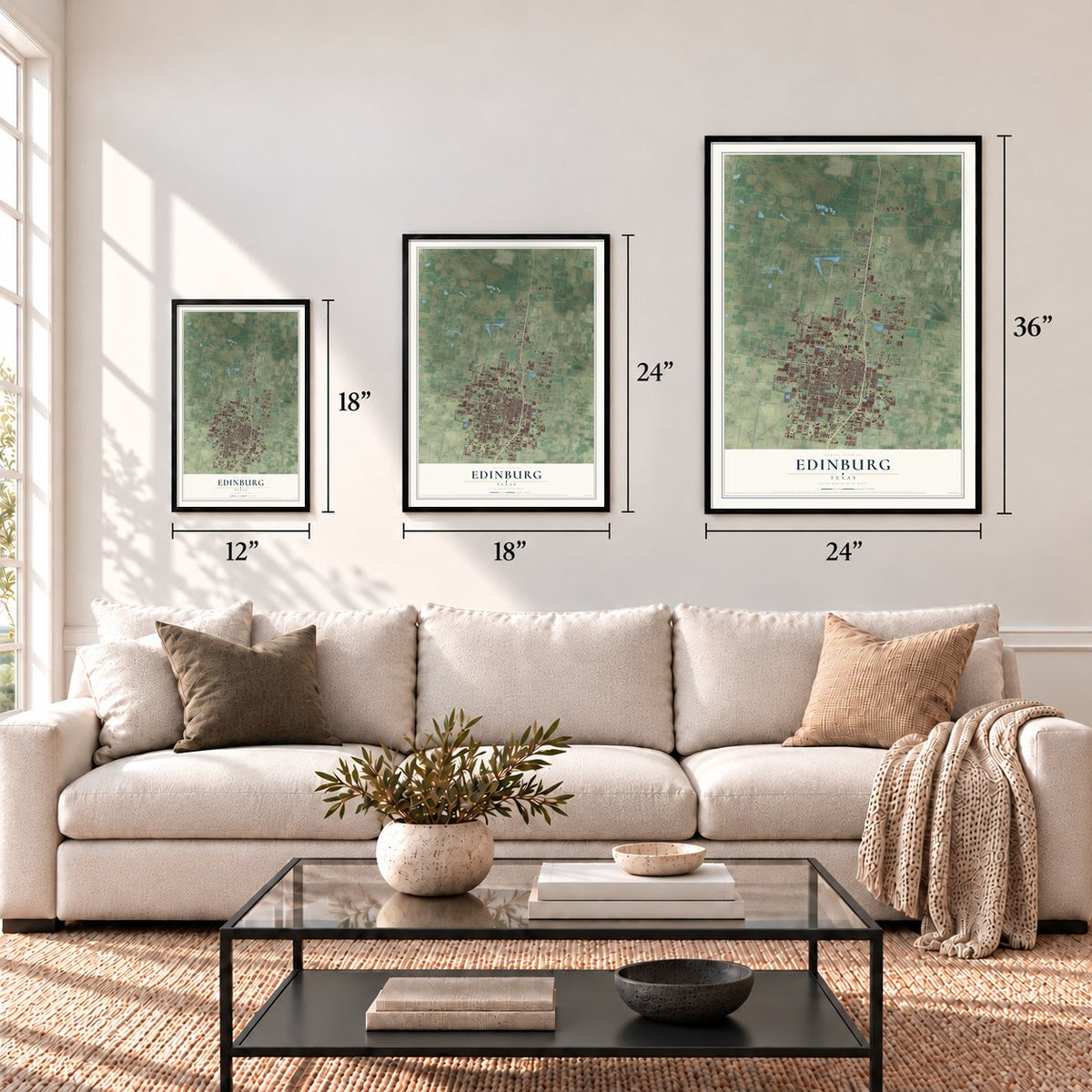
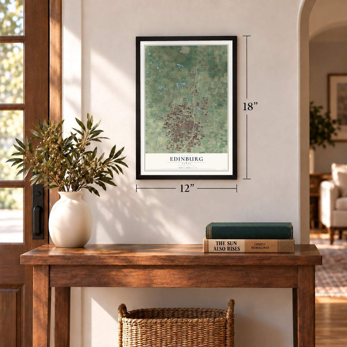
12" x 18" Archival Matte Print
A Map of Home. A Work of Art.
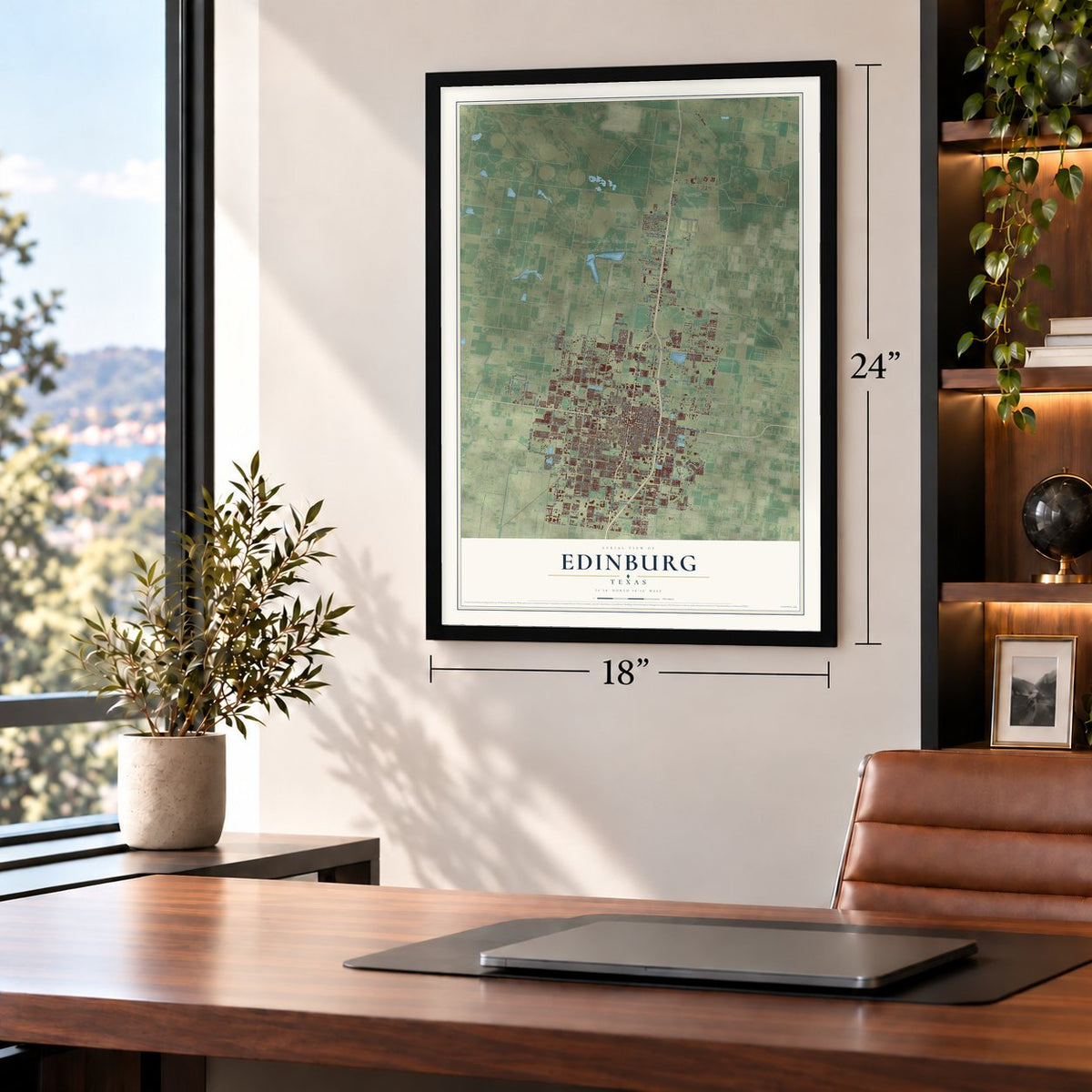
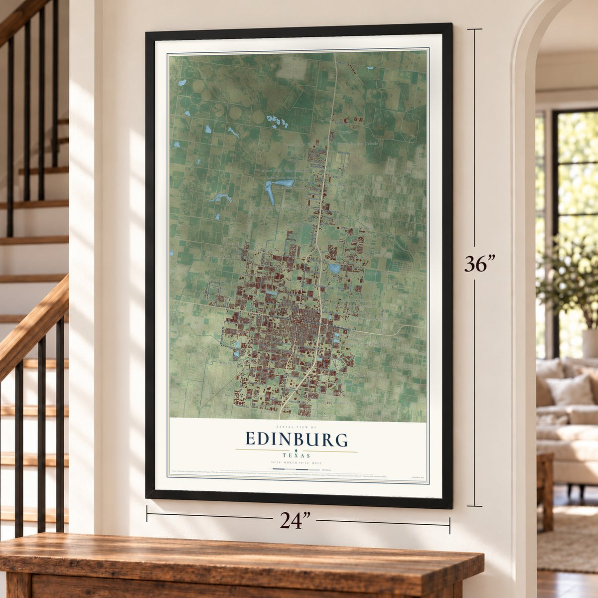
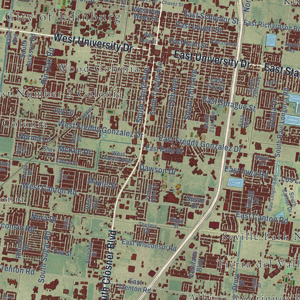
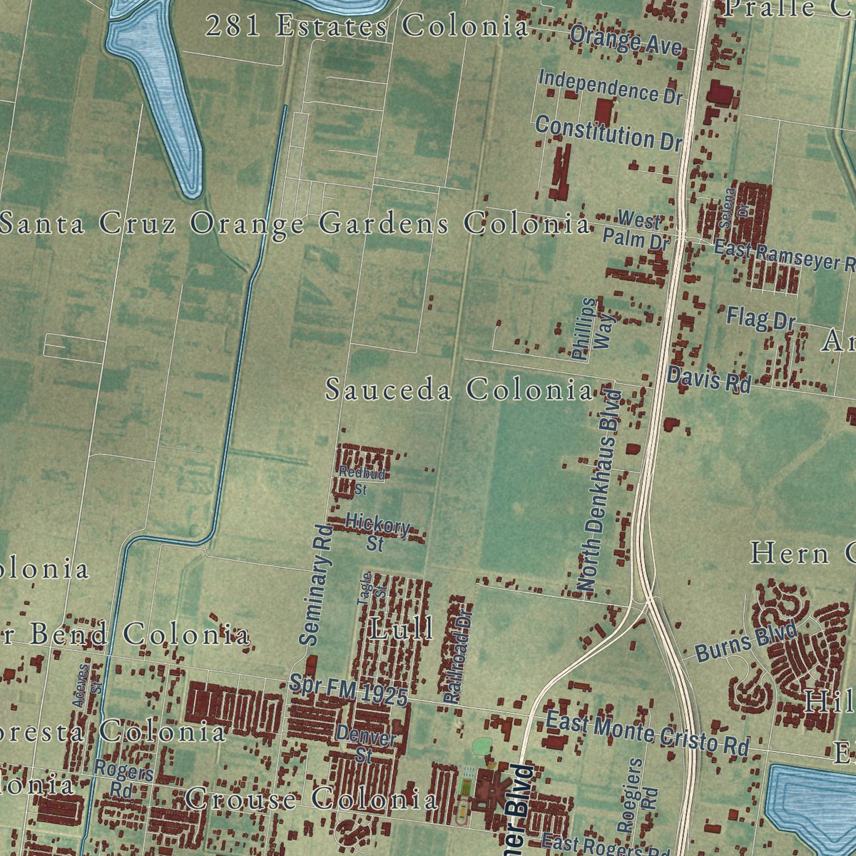
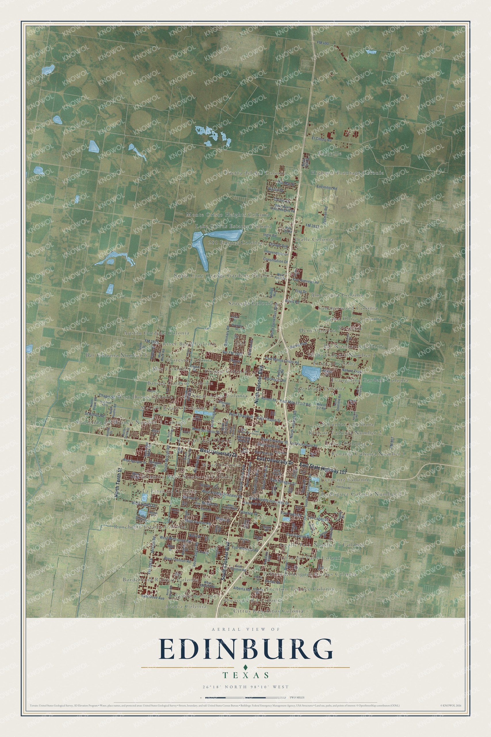
Explore Edinburg, Texas from a whole new perspective. Created using aerial imagery and detailed geographic data, this map captures Edinburg building by building, with labeled streets, familiar landmarks, and shaded topographical relief that highlights the natural contours of the landscape.
Combining modern data with the timeless character of a vintage atlas, this map is just as interesting up close as it is beautiful on the wall. Whether you grew up in Edinburg, spent memorable years there, or call it home today, this unique map is a great way to celebrate a place that means something to you. Zoom in on the preview to look for your street, and then order a print to put your memories on the wall.
Three ways to hang it
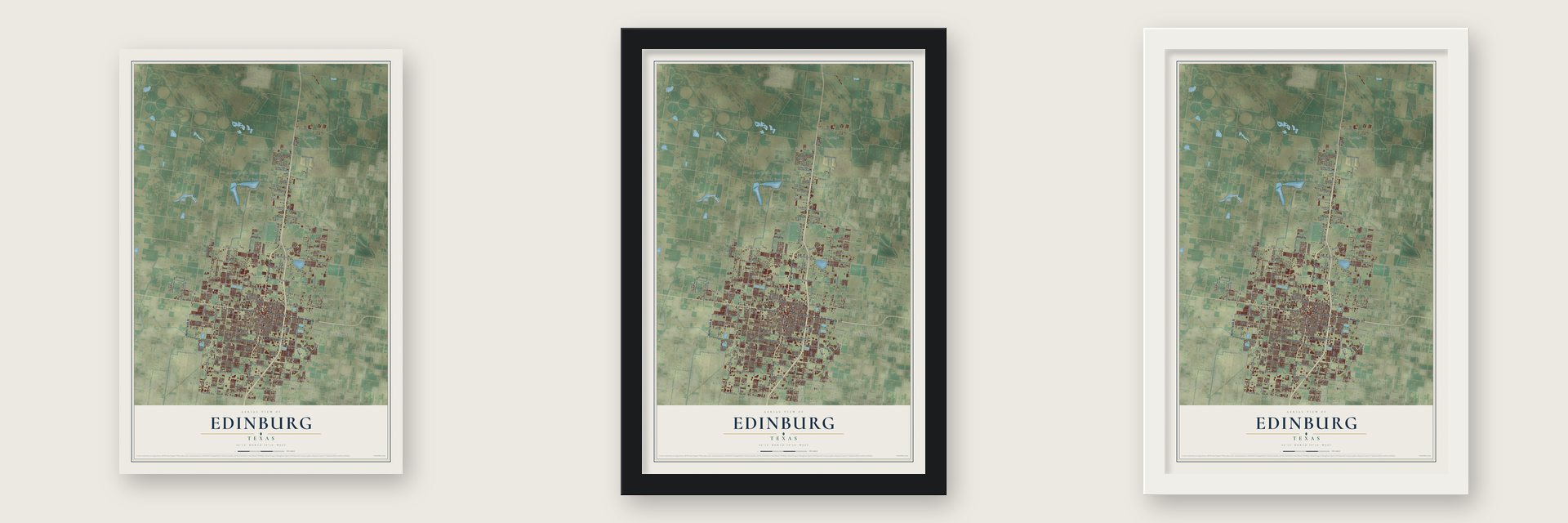
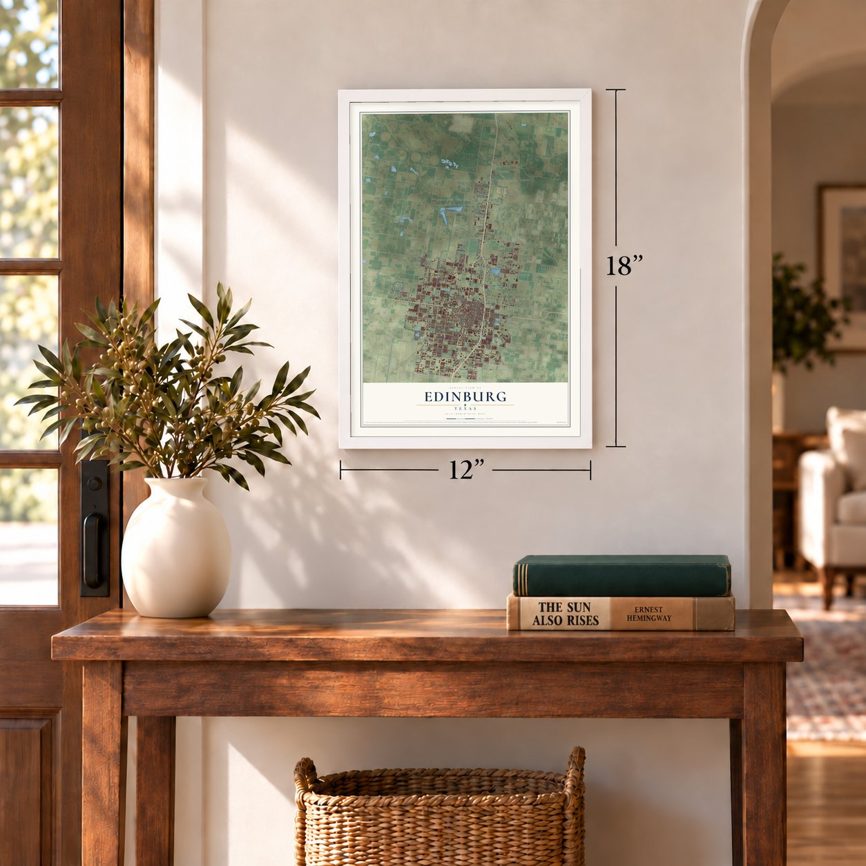
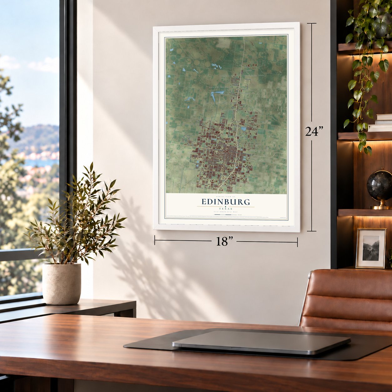
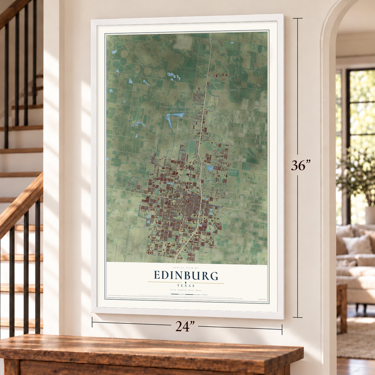
Unframed archival matte, a black wood frame or a white wood frame.
Up close
Geography Worth Displaying
This map was created using accurate cartographic data and authoritative geographic sources, including the U.S. Geological Survey and the Census Bureau. The map brings together terrain, waterways, roads, and building detail. The majority of the streets are labeled, houses are accurately depicted, and the topography is derived from government sources. Combining local data with carefully composed color and shading leads to this beautifully detailed Edinburg artwork for your wall.
Rather than simply showing street outlines, we’ve included as many of the street names as we could reasonably fit on the map while keeping their names legible. Zoom in on the high resolution preview to see exactly what’s on the map. We truly set out to create a statement piece for anyone who loves Edinburg. So whether it’s for you, or a gift for someone you love, we hope this map of Edinburg brings back fond memories.
Read the story behind this map of Edinburg, Texas from 2026.
Find your street
Names on the Edinburg map
Every name below is printed on this map. Look for your street, your school, the park where you played, or the pond down the road.
Places and landmarks51
- City of Edinburg
- Acacia Colonia
- Faysville
- Bar Number 5 Colonia
- Albino Rodriguez Estates Colonia
- Renarae Colonia Number 1
- Austin Gardens Colonia
- Lake Citrus Estates Colonia
- La Estancia Colonia
- Lull
- West Haven Colonia
- Citrus Ranchitos Colonia
Show all 51 places
- Siez Tract Colonia
- Gernentz Colonia
- Sugar Acres Colonia
- Santa Cruz Orange Gardens Colonia
- Ranchette Estates Colonia
- Hacienda del Bronco Number 2 Colonia
- Summerwood Colonia
- Max Colonia
- Puerta del Sol Colonia
- El Seco Colonia
- Trenton Terrace Colonia
- Sauceda Colonia
- Seville Park Number 1 Colonia
- Rodriguez Colonia Number 2
- Gomez Colonia
- Wood Colonia
- Schunior's Colonia
- Floresta Colonia
- 281 Estates Colonia
- Batson Gardens Colonia
- McColl Estates Colonia
- Americana Colonia
- Doolittle
- Borderland Retreat Colonia
- River Bend Colonia
- Altamira West Number 2 Colonia
- Foster Colonia
- Crouse Colonia
- Evangeline Gardens Colonia
- Owassa-I Rd Colonia
- Bar Colonia Number 6
- Monte Cristo Heights Colonia
- Kenyon Colonia Number 2
- Highway Frontage Colonia
- Hern Colonia
- Tierra del Valle Colonia
- Pralle Colonia
- Hilda Colonia Number 1
- Loma Chica Colonia
Streets and roads168
- North Closner Boulevard
- East University Drive
- West University Drive
- South Closner Boulevard
- East State Highway 107
- North Tenth Street
- McColl Road
- South McColl Road
- West Schunior Street
- East Schunior Street
- Diana Drive
- FM 1925
- Schunior Road
- West Freddy Gonzalez Drive
- South 18th Avenue
- Spr FM 1925
- East Monte Cristo Road
- South Sugar Road
- East Canton Road
- Davis Road
- East Sprague Street
- West Wisconsin Road
- West Trenton Road
- West Chapin Street
- Encinitos Road
- West Canton Road
- East Freddy Gonzalez Drive
- FM 2812
- East Chapin Street
- North Jasman Road
Show all 168 streets
- El Cibolo Road
- Chapin Street
- West Hobbs Drive
- Seminary Road
- Jasman Road
- Via Sol Drive
- South 15th Avenue
- Ingle Road
- FM 490
- East Lovett Street
- South Tenth Avenue
- Los Lagos Drive
- North Denkhaus Boulevard
- Pin Oak Road
- East Dove Avenue
- East Iowa Road
- Ric Mar Street
- Alberta Road
- Orange Avenue
- Cactus Lane
- Constitution Drive
- Links Drive
- McKee Drive
- Burns Boulevard
- Norma Lane
- FM 907
- Dawson Drive
- Pablo Street
- Nature Trail
- Flag Drive
- Nora Drive
- Cortez Drive
- Ivy Lane
- Maple Street
- East Richardson Road
- Russell Road
- Hoehn Drive
- East Rogers Road
- East Trenton Road
- North Sugar Road
- South Jackson Road
- West Sprague Street
- East Wisconsin Road
- West Alberta Road
- North Doolittle Road
- South Raul Longoria Road
- South Mon Mack Road
- Rogers Road
- East Kuhn Street
- East Fay Street
- West Palm Drive
- West Van Week Street
- North Depot Road
- East Ramseyer Road
- South Twelfth Avenue
- Phillips Way
- Independence Drive
- West Monte Cristo Heights Road
- Tenth Street
- Lake Shore Drive
- Rhonda Street
- Mon Mack Road
- East Palm Drive
- Roegiers Road
- Sprague Street
- Veterans Boulevard
- North Hoehn Road
- Burr Drive
- West Ora Street
- North Aruba Drive
- Railroad Drive
- North First Avenue
- North First Street
- Trophy Drive
- Shavano Drive
- Seton Street
- Hickory Street
- Mile 21 Road
- Eva Street
- Gregg Drive
- Alberta Drive
- Adams Lane
- Denver Street
- Susan Drive
- Rhin Drive
- Drury Drive
- Alice Lane
- Vera Avenue
- North McColl Road
- Alvarado Street
- North Jackson Road
- South 21st Avenue
- Kenyon Road
- West Chavez Street
- South Cartier Drive
- Ann Street
- Yellow Rose Drive
- West Austin Boulevard
- South 29th Avenue
- Royal Street
- Vance Street
- Shay Lane
- Leticia Street
- Ascot Drive
- Thelma Drive
- Kings Drive
- Bass Boulevard
- Elk Lane
- Baltic Avenue
- Ash Circle
- Pso del Rey
- North Fourth Avenue
- Raul Longoria Road
- Doolittle Road
- East Loeb Street
- North Kenyon Road
- Delia Drive
- West Kuhn Street
- West Orick Hill Street
- Tagle Street
- East Curry Road
- Michael Boulevard
- Opal
- East Chavez Street
- Selena Drive
- Agua Fina Avenue
- Cedar Street
- Paola Street
- Aceves Street
- Piquin Street
- Redbud Street
- Deer Hills
- Peridot
- Holland Avenue
- Agave Avenue
- Largo Drive
- Valle Circle
- Allen Drive
Names are listed as they appear on the printed map. Zoom into the product photos to find them.
About Edinburg, Texas
Serving as Hidalgo County's seat, Edinburg counted 100,243 residents in the 2020 census. The community was first called Chapin, then received its present name in 1911 to recognize the Scottish birthplace of businessman John Young. Irrigation, agriculture, transportation, public institutions, and education have each shaped the city's development.
- Named for ScotlandThe 1911 name Edinburg honored Edinburgh, Scotland, the birthplace of local businessman John Young.
- Irrigation and AgricultureAfter irrigation arrived in 1915, Edinburg became a center for purchasing and processing cotton, grain, and citrus crops.
- Early Rail ServiceRail service began in 1909 with an eight-mile spur; direct links to Corpus Christi and San Antonio followed 17 years later.
- Historic Civic LandmarkA 1909 building that began as the county jail later served as city hall and housed the county historical museum in 2005.
- University Main CampusThe main campus of the University of Texas Rio Grande Valley is in Edinburg.
Keep exploring Texas
Edinburg is one of 2,049 Texas towns we've mapped. Every dot on the map is a print of its own.
The search covers every state, Texas first.
Near Edinburg
Order 2 or more town maps and save 10%. Shown in the size and finish you picked above, so they hang as a set.
- César Chávez 12" x 18" / Archival Matte Print $39.99
- Doolittle 12" x 18" / Archival Matte Print $39.99
- Murillo 12" x 18" / Archival Matte Print $39.99
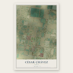
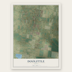
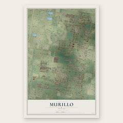
More maps nearby: Lopezville, Muniz, San Carlos, North Alamo and La Blanca.
The art of mapping a place
How This Map Was Made
Real places. Remarkable detail. Discover the layers that turn geographic data into a map of home.

The view from above
Aerial imagery reveals the character of the land: woodland, open fields, and the patterns of a place.

The shape of the land
Elevation data brings hills, valleys, and subtle changes in the landscape into view.

The details of home
Roads, waterways, and building footprints come together to make the map feel unmistakably local.

Geography becomes art
Considered color, shading, and typography bring the layers together in a map made for your wall.


Process illustrated with Mendon, Massachusetts. Aerial imagery: USDA NAIP. Terrain: USGS 3D Elevation Program. Map details and finished artwork: KNOWOL.
The Details
About This Print
Choose an archival matte print, or a black or white Ayous wood frame. The archival matte print is unframed.
Select your size and finish above to see the matching product image and price.
Materials & Craftsmanship
A contemporary map with the character of a classic atlas, printed on archival matte paper. Optional frames are made from Ayous wood.
Your printed map does not include the watermark shown in the full-map preview.
Shipping & Delivery
Free shipping within the United States. Every print is made to order in the USA.
Buying a gift? Add a note in your cart and we'll include it. We never put prices in the package.
Prints ship within 2 to 3 business days. Allow 7 to 10 days total from ordering for delivery. Timing may vary during holidays or periods of high order volume.
Read our shipping policy.
Returns and damaged prints
Each print is made to order. Change-of-mind refunds are not available after production.
If your print arrives damaged, misprinted or incorrect, contact support@knowol.com within 30 days of receiving it. Include your order number, photos and a description of the issue.
Read our full refund and replacement policy. For questions about your order, email support@knowol.com.