
Search for another town




Free U.S. delivery 7 to 10 days after you order
Elizabeth City, North Carolina Map Art
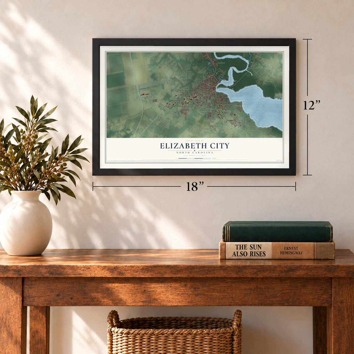
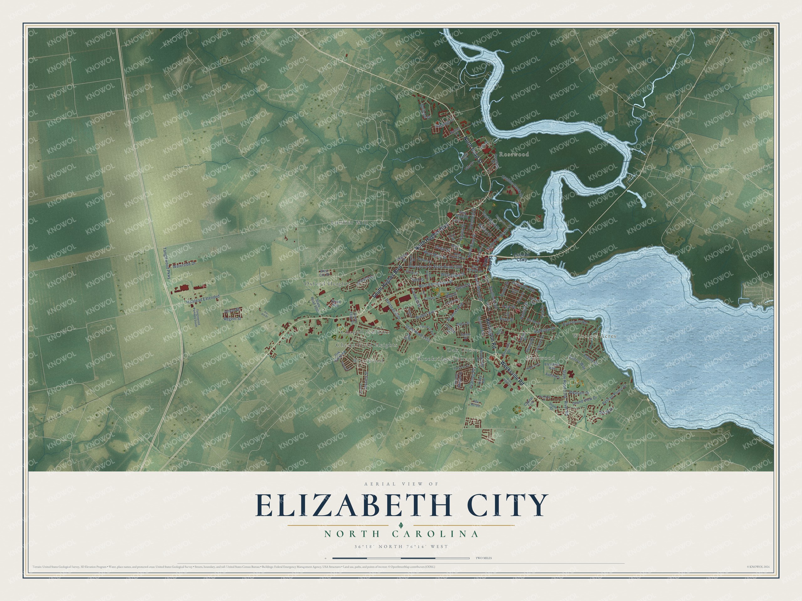
A new map of Elizabeth City, North Carolina, made in 2026 and printed to order on thick archival matte paper.
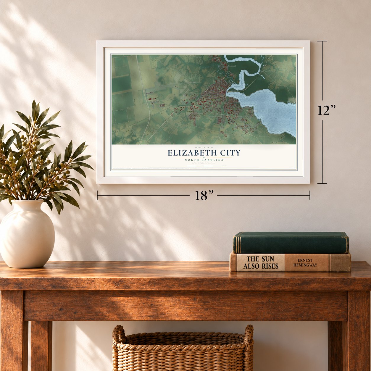
12" x 18" Archival Matte Print
A Map of Home. A Work of Art.
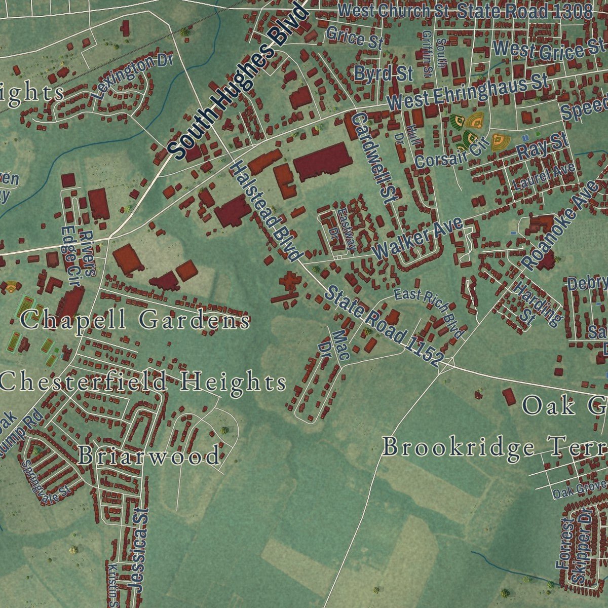
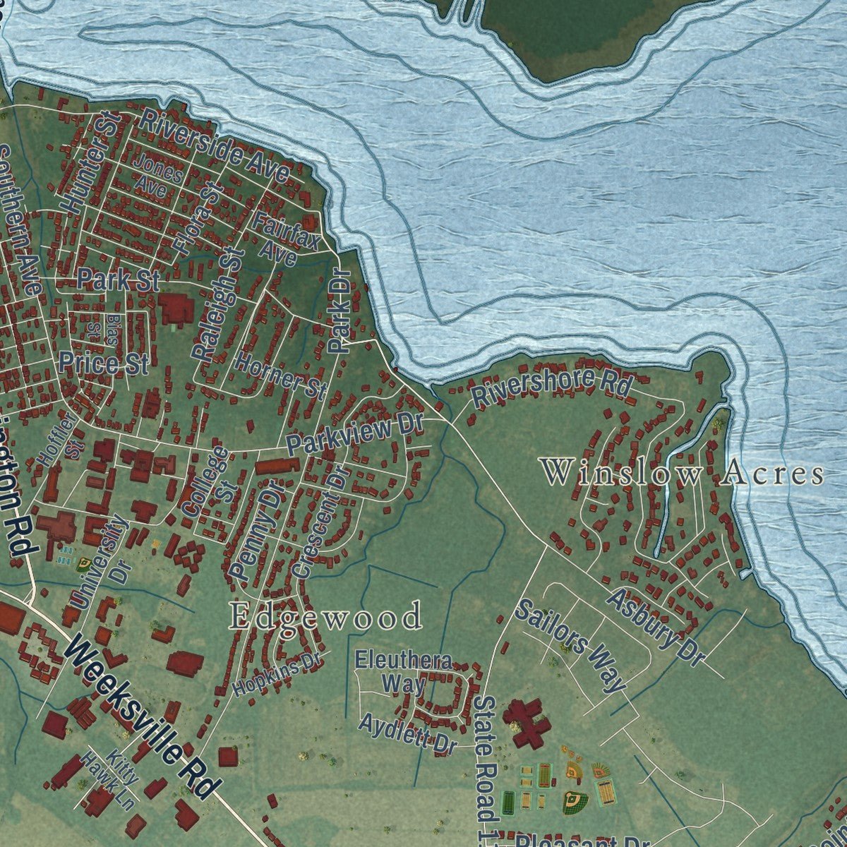
Explore Elizabeth City, North Carolina from a whole new perspective. Created using aerial imagery and detailed geographic data, this map captures Elizabeth City building by building, with labeled streets, familiar landmarks, and shaded topographical relief that highlights the natural contours of the landscape.
Combining modern data with the timeless character of a vintage atlas, this map is just as interesting up close as it is beautiful on the wall. Whether you grew up in Elizabeth City, spent memorable years there, or call it home today, this unique map is a great way to celebrate a place that means something to you. Zoom in on the preview to look for your street, and then order a print to put your memories on the wall.
Three ways to hang it
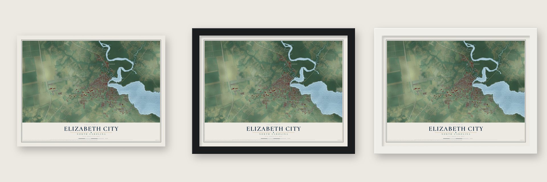
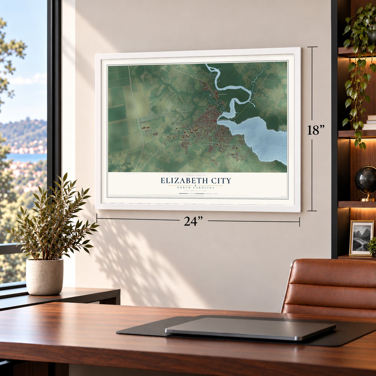
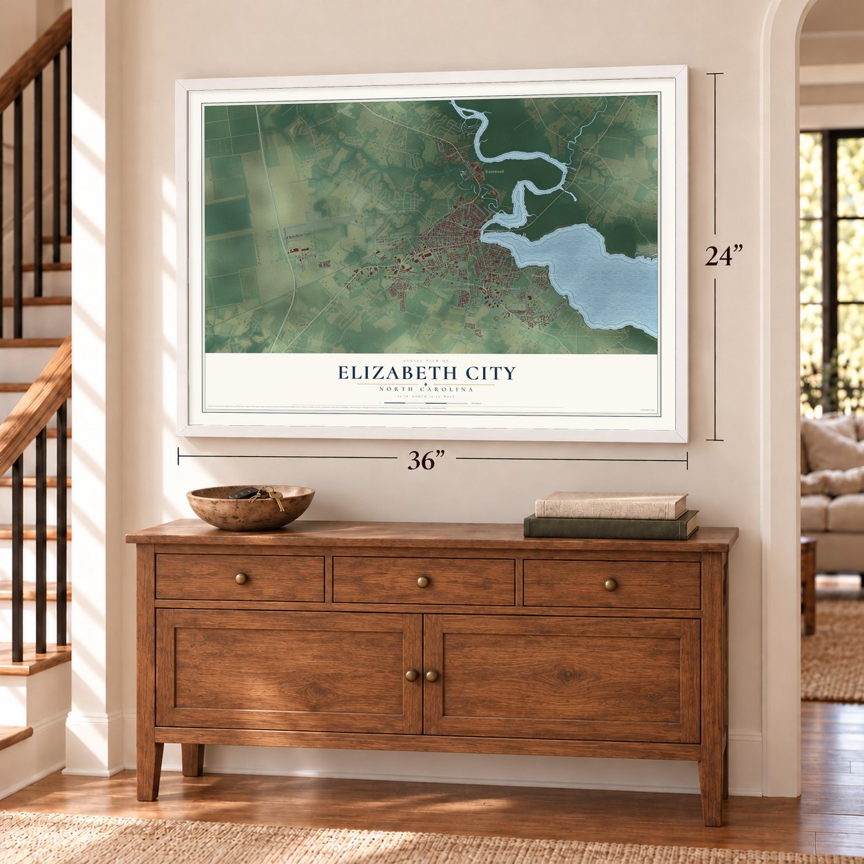
Unframed archival matte, a black wood frame or a white wood frame.
Up close
Geography Worth Displaying
This map was created using accurate cartographic data and authoritative geographic sources, including the U.S. Geological Survey and the Census Bureau. The map brings together terrain, waterways, roads, and building detail. The majority of the streets are labeled, houses are accurately depicted, and the topography is derived from government sources. Combining local data with carefully composed color and shading leads to this beautifully detailed Elizabeth City artwork for your wall.
Rather than simply showing street outlines, we’ve included as many of the street names as we could reasonably fit on the map while keeping their names legible. Zoom in on the high resolution preview to see exactly what’s on the map. We truly set out to create a statement piece for anyone who loves Elizabeth City. So whether it’s for you, or a gift for someone you love, we hope this map of Elizabeth City brings back fond memories.
Read the story behind this map of Elizabeth City, North Carolina from 2026.

About Elizabeth City, North Carolina
Elizabeth City is a city of 18,631 people and the seat of Pasquotank County, at a narrow bend of the Pasquotank River. By the middle of the 18th century, colonists traded at the narrows and set up ferries and inspection stations. A schoolhouse and a church soon followed. Local businessmen backed the Dismal Swamp Canal in 1793, and the state assembly incorporated the town as Redding.
The town became Elizabethtown in 1794. Another town already had that name, so in 1801 it was renamed Elizabeth City. The name is credited to Elizabeth "Betsy" Tooley, who kept a tavern and gave much of the land for the new town. The canal carried its trade. The federal government bought 600 stocks in it in 1826, a Norfolk lottery raised more money in 1829, and the wider, deeper channel let bigger boats reach the city. The customs house moved here from Camden County in 1827, and tolls tripled from 1829 to 1832.
- Taken by the Union fleetThe Confederates kept a small fleet at Elizabeth City during the Civil War. Once the Battle of Roanoke Island was over, the Union sent ships against the city and won the short fight that followed. The city stayed under Union control until the war ended, while Confederate irregulars kept up a guerrilla war in the countryside around it.
- 30 subchasers in two yearsFrom 1942 to 1944 the Elizabeth City Shipyard built thirty 111-foot submarine chasers, four yard tugboats and six 104-foot supply boats. Its 30 subchasers were more than any other yard built, out of 438 in the whole country, and it set the record time for the class with SC-740. The shipyard had closed by January 2020.
- Watching for U-boatsCoast Guard Air Station Elizabeth City opened in 1940, and Naval Air Station Weeksville followed in 1941. Their seaplanes and blimps hunted German U-boats that were attacking merchant ships off the East Coast. Weeksville's hangar of Southern Yellow Pine, built to save metal for the war, stood as the world's largest wooden structure until fire destroyed it in 1995. Blimps are still built and serviced here, and the Coast Guard station now covers over 800 acres.
- A university since 1891In 1891 the General Assembly passed a bill from Hugh Cale, Pasquotank County's African American lawmaker, that created the Normal and Industrial School. That school became Elizabeth City State University. Moore Hall, the Practice School and the Principal's House from its days as the State Teachers College joined the National Register in 1994.
Find your street
Names on the Elizabeth City map
Every name below is printed on this map. Look for your street, your school, the park where you played, or the pond down the road.
Places and landmarks10
- Winslow Acres
- Rosewood
- Edgewood
- Briarwood
- Brookridge Terrace
- Chapell Gardens
- Chesterfield Heights
- Lumber Mill
- Oak Grove
- Oxford Heights
Streets and roads116
- South Hughes Boulevard
- Herrington Road
- Weeksville Road
- North Road Street
- North Hughes Boulevard
- Halstead Extended
- Halstead Boulevard
- State Road 1152
- West Ehringhaus Street
- Jessica Street
- Walker Avenue
- Parkview Drive
- Rivershore Road
- Southern Avenue
- Park Drive
- Golfclub Drive
- State Road 1308
- River Road
- Peartree Road
- State Road 1164
- Roanoke Avenue
- Tanglewood Parkway
- Knobbs Creek Drive
- Pelican Pointe Drive
- West Main Street
- Riverside Avenue
- North Poindexter Street
- Grand View Drive
- Pleasant Drive
- Cedar Street
Show all 116 streets
- South Martin Street
- Harney Street
- Raleigh Street
- Park Street
- East Ward Street
- Union Street
- Hastings Lane
- Cardwell Street
- Waterside Drive
- Asbury Drive
- West Grice Street
- Hunter Street
- Walnut Street
- Sailors Way
- Greenleaf Street
- Penny Drive
- Ibis Way
- Regent Street
- Ray Street
- Speed Street
- Price Street
- Byrd Street
- State Road 34
- Camden Causeway
- Coa Drive
- Corsair Circle
- State Road 1306
- West Church Street
- Oak Stump Road
- Crescent Drive
- Forrest Skipper Drive
- Grice Street
- Eleuthera Way
- Baxter Street
- Charles Street
- Brookridge Drive
- West Broad Street
- Rosedale Drive
- Lexington Drive
- University Drive
- Gosnold Avenue
- Flora Street
- Stone Street
- East Church Street
- Aydlett Drive
- Villa Drive
- Rivers Edge Circle
- Horner Street
- West City Drive
- Fairfax Avenue
- College Street
- Salem Drive
- Capital Trce
- York Street
- Debry Street
- Harding Street
- Hines Avenue
- Barney Lane
- Ida Acres
- Emily Street
- Raven Way
- Mac Drive
- West Colonial Avenue
- Maple Street
- East Rich Boulevard
- Tanglewood Parkway South
- North Martin Street
- Jones Avenue
- Hoffler Street
- Kramer Street
- Hopkins Drive
- Harrell Street
- Laurel Avenue
- Kitty Hawk Lane
- Kristin Street
- Eastway Drive
- South Griffin Street
- Oak Grove Avenue
- Bell Street
- Springvale Street
- Walston Street
- Roundtree Drive
- Pro Gro Drive
- Hull Drive
- Wood Street
- Bias Street
Names are listed as they appear on the printed map. Zoom into the product photos to find them.
The art of mapping a place
How This Map Was Made
Real places. Remarkable detail. Discover the layers that turn geographic data into a map of home.

The view from above
Aerial imagery reveals the character of the land: woodland, open fields, and the patterns of a place.

The shape of the land
Elevation data brings hills, valleys, and subtle changes in the landscape into view.

The details of home
Roads, waterways, and building footprints come together to make the map feel unmistakably local.

Geography becomes art
Considered color, shading, and typography bring the layers together in a map made for your wall.


Process illustrated with Mendon, Massachusetts. Aerial imagery: USDA NAIP. Terrain: USGS 3D Elevation Program. Map details and finished artwork: KNOWOL.
The Details
About This Print
Choose an archival matte print, or a black or white Ayous wood frame. The archival matte print is unframed.
Select your size and finish above to see the matching product image and price.
Materials & Craftsmanship
A contemporary map with the character of a classic atlas, printed on archival matte paper. Optional frames are made from Ayous wood.
Your printed map does not include the watermark shown in the full-map preview.
Shipping & Delivery
Free shipping within the United States. Every print is made to order in the USA.
Buying a gift? Add a note in your cart and we'll include it. We never put prices in the package.
Prints ship within 2 to 3 business days. Allow 7 to 10 days total from ordering for delivery. Timing may vary during holidays or periods of high order volume.
Read our shipping policy.
Returns and damaged prints
Each print is made to order. Change-of-mind refunds are not available after production.
If your print arrives damaged, misprinted or incorrect, contact support@knowol.com within 30 days of receiving it. Include your order number, photos and a description of the issue.
Read our full refund and replacement policy. For questions about your order, email support@knowol.com.
Find your town
Looking for another city?
Find a map of home in our North Carolina collection, or any town in the country.
Nearby
Maps of towns near Elizabeth City
Know someone from one of these towns? Their map makes a great gift.
 Camden
, North Carolina
From $39.99See the map
 South Mills
, North Carolina
From $39.99See the map
 Winfall
, North Carolina
From $39.99See the map
More maps nearby: Moyock, Hertford, Coinjock, Grandy and Sunbury.