
Search for another town
Free U.S. delivery 7 to 10 days after you order
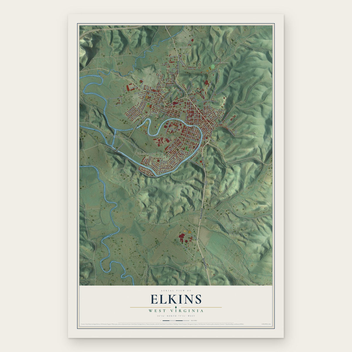
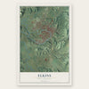
Elkins, West Virginia Map Art
Building by building, with labeled streets and shaded relief.
12" x 18" Archival Matte Print
A Map of Home. A Work of Art.
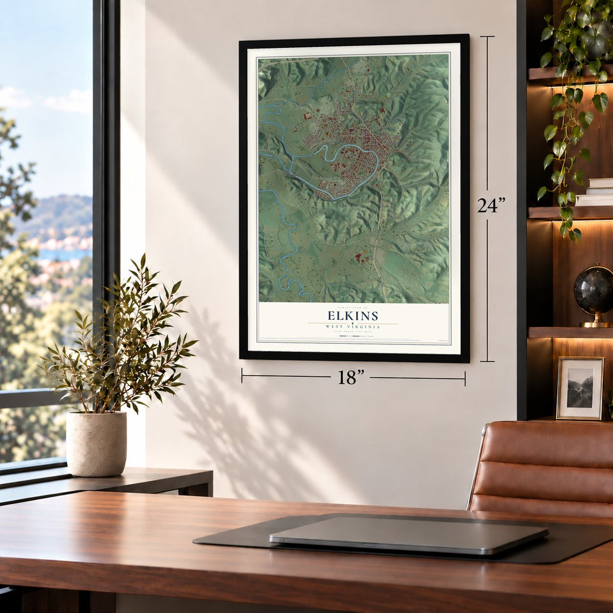
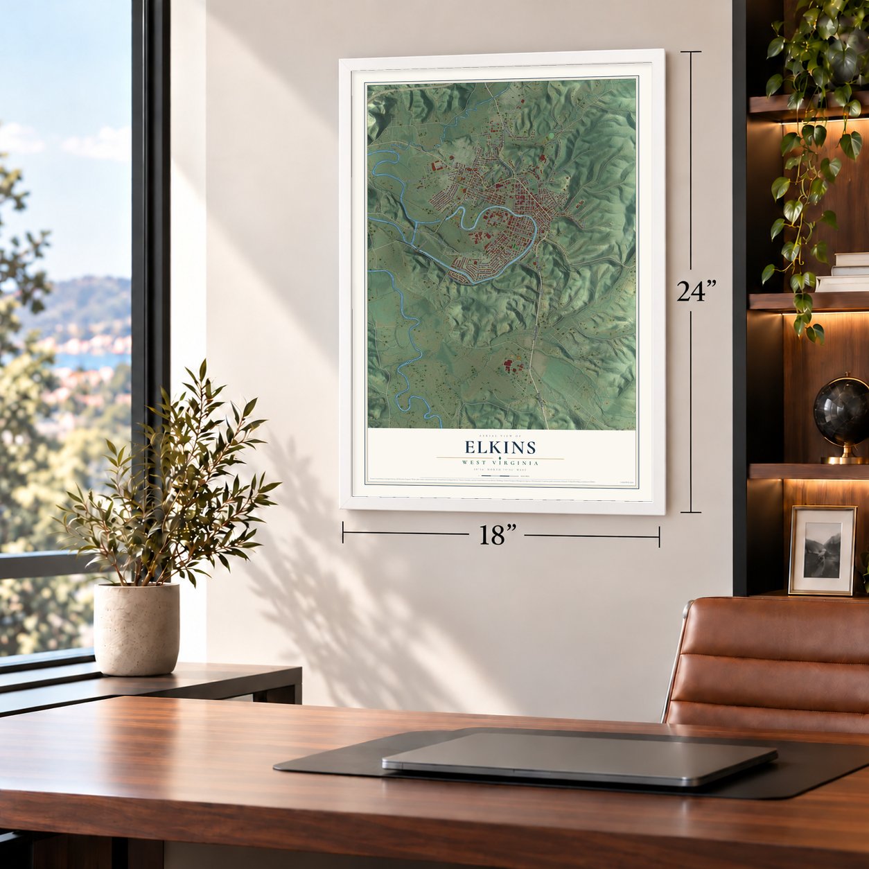
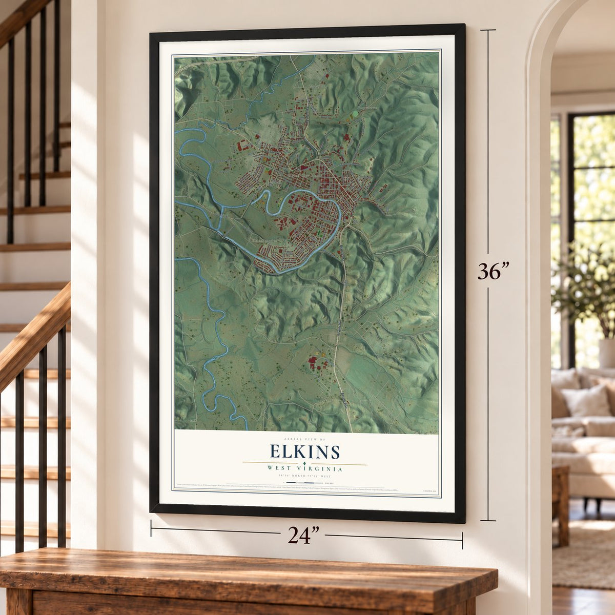
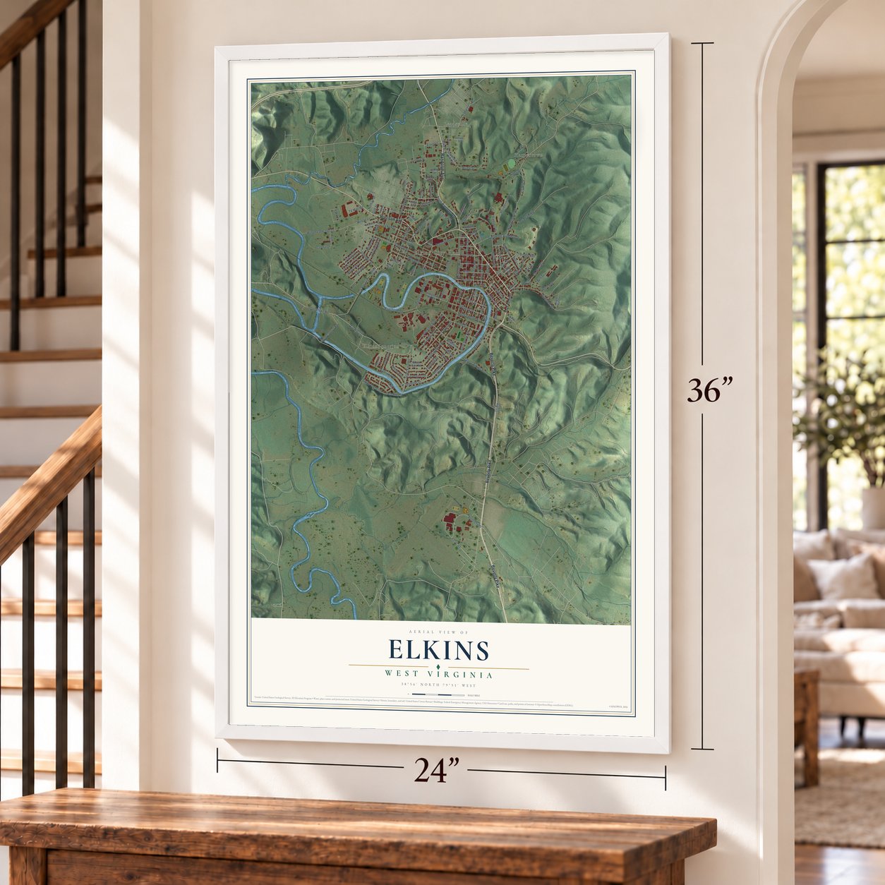
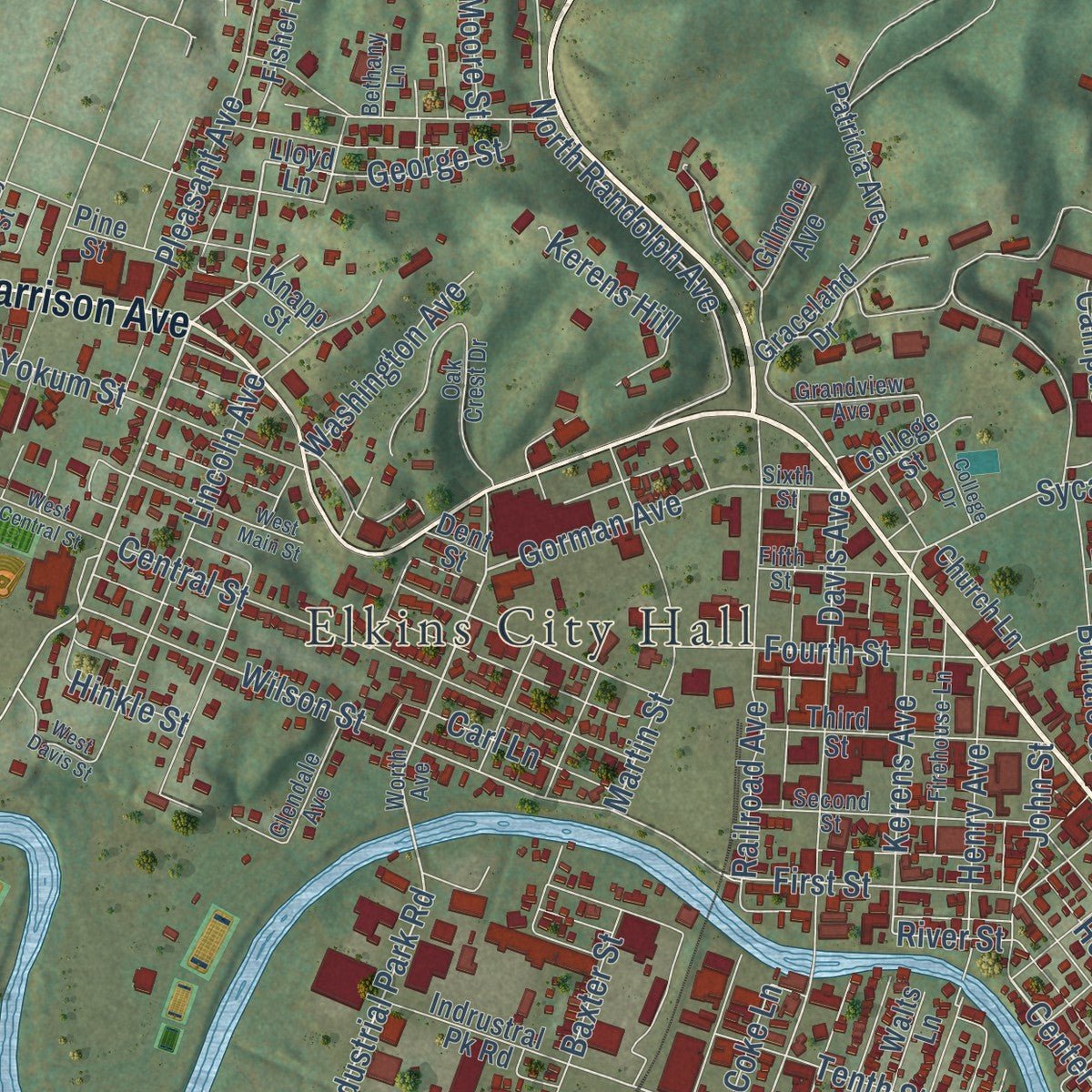
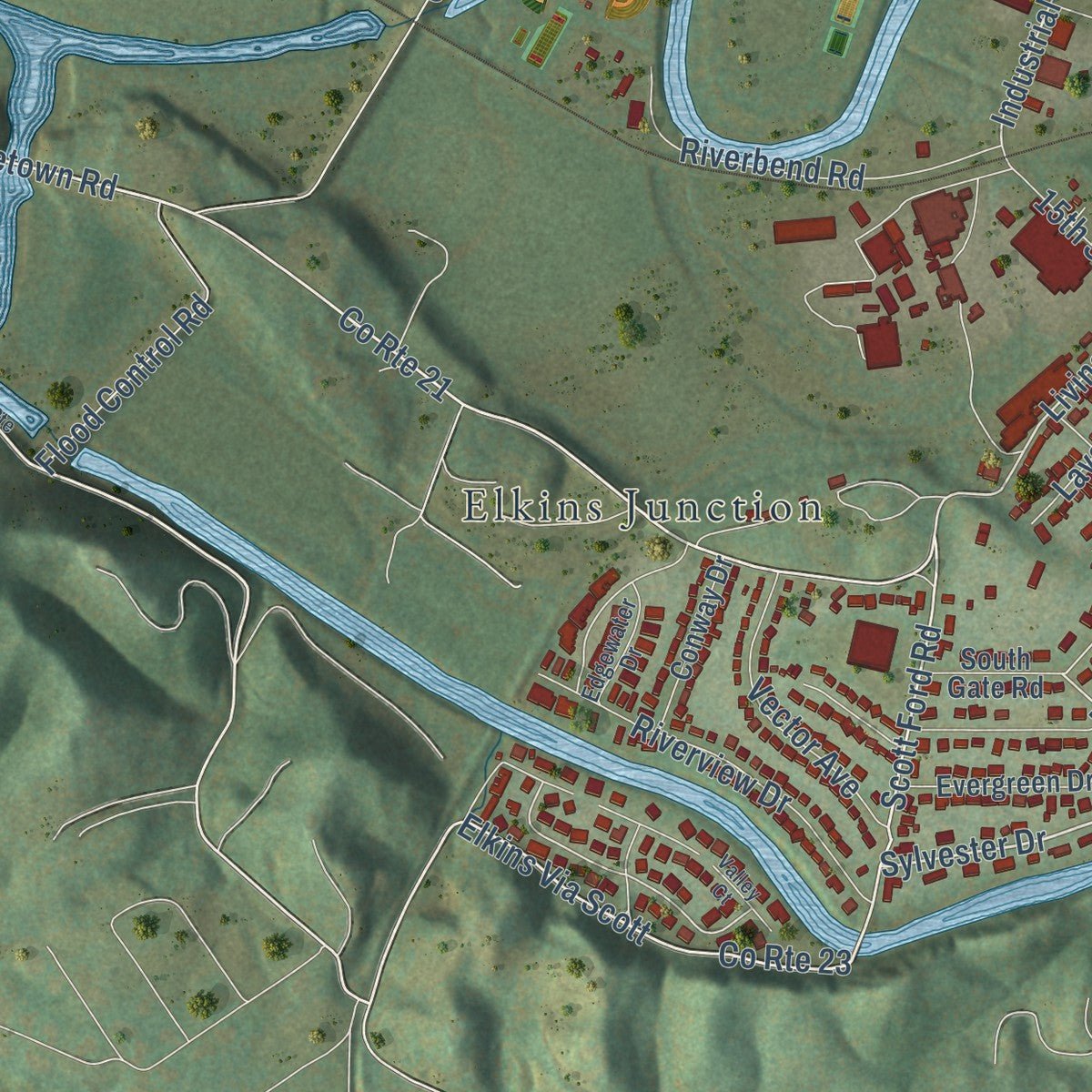
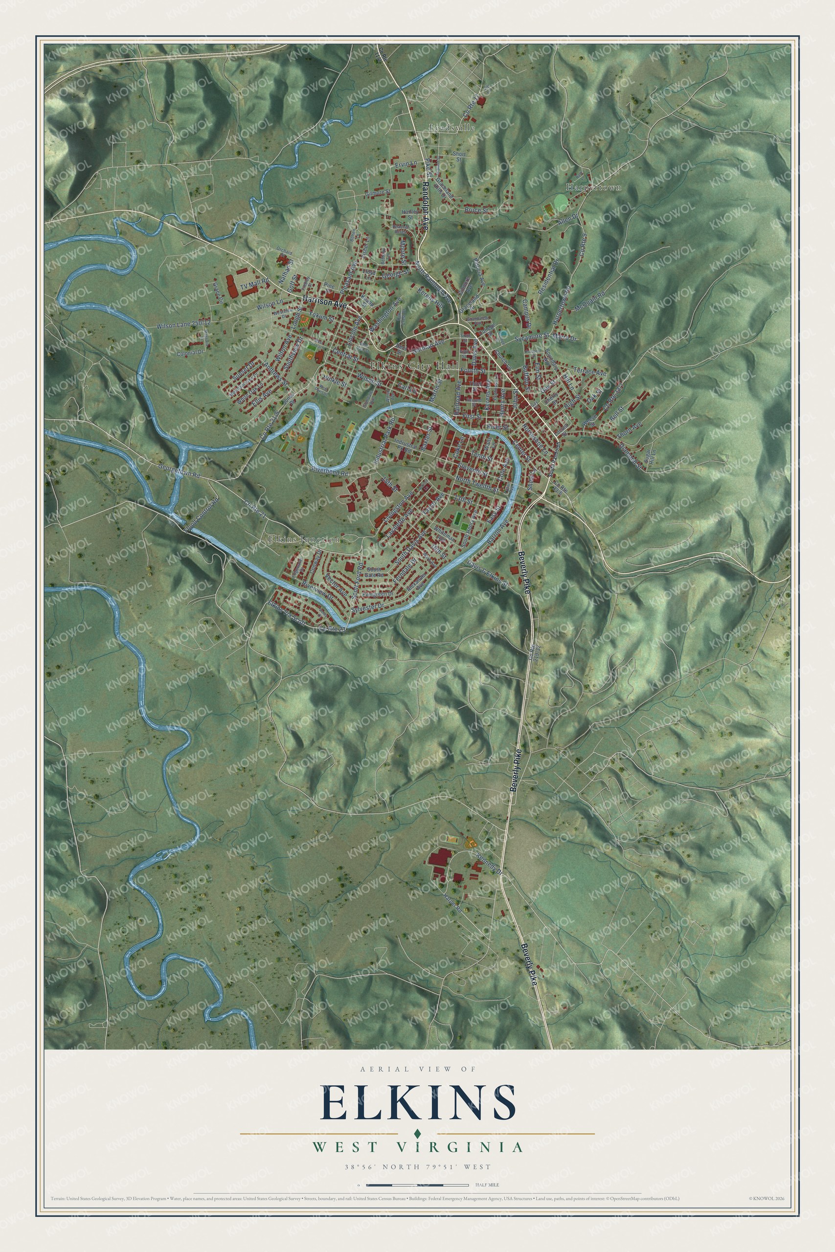
Explore Elkins, West Virginia from a whole new perspective. Created using aerial imagery and detailed geographic data, this map captures Elkins building by building, with labeled streets, familiar landmarks, and shaded topographical relief that highlights the natural contours of the landscape.
Combining modern data with the timeless character of a vintage atlas, this map is just as interesting up close as it is beautiful on the wall. Whether you grew up in Elkins, spent memorable years there, or call it home today, this unique map is a great way to celebrate a place that means something to you. Zoom in on the preview to look for your street, and then order a print to put your memories on the wall.
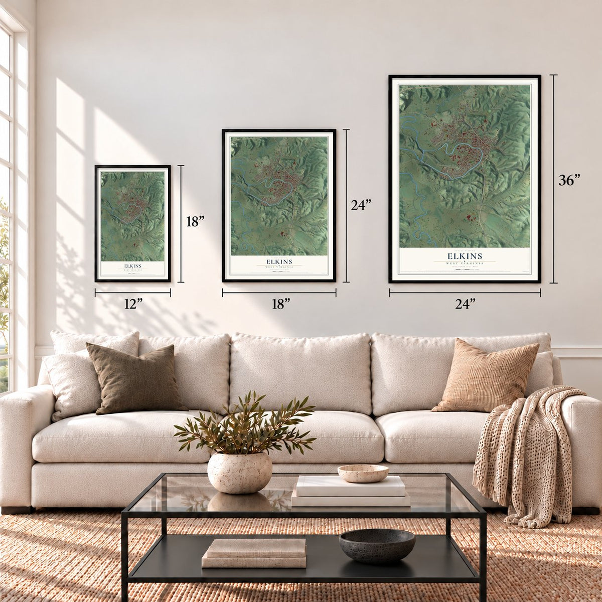
Three ways to hang it
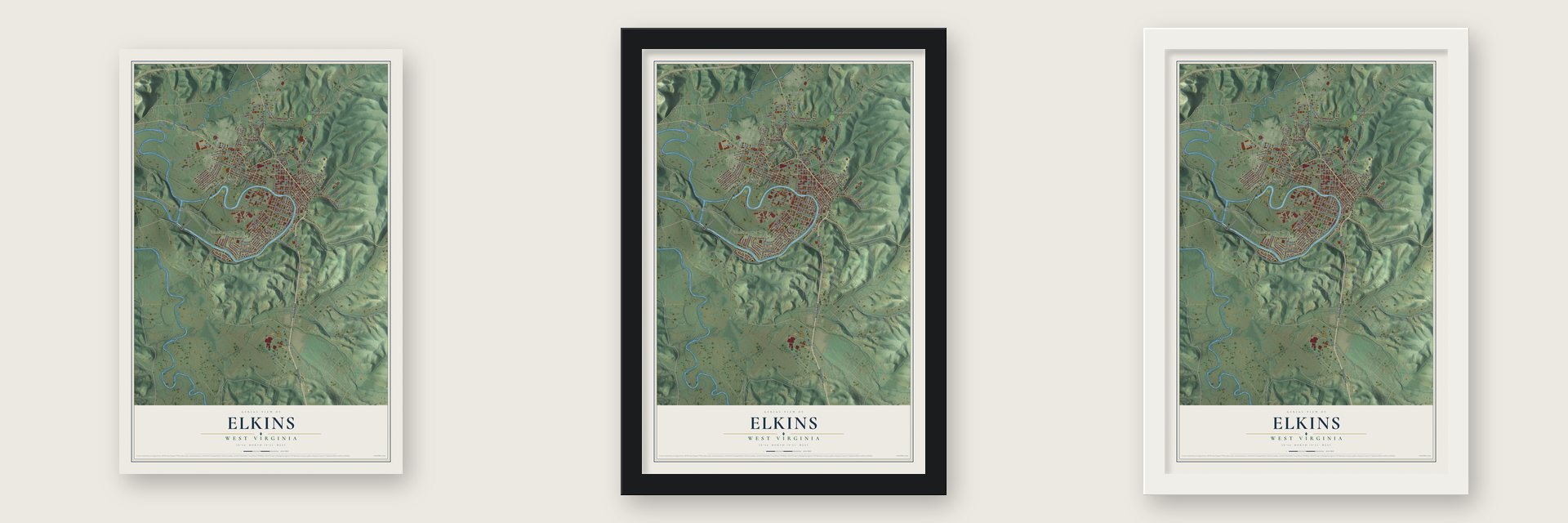
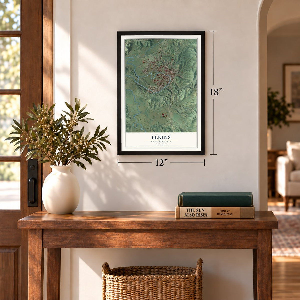
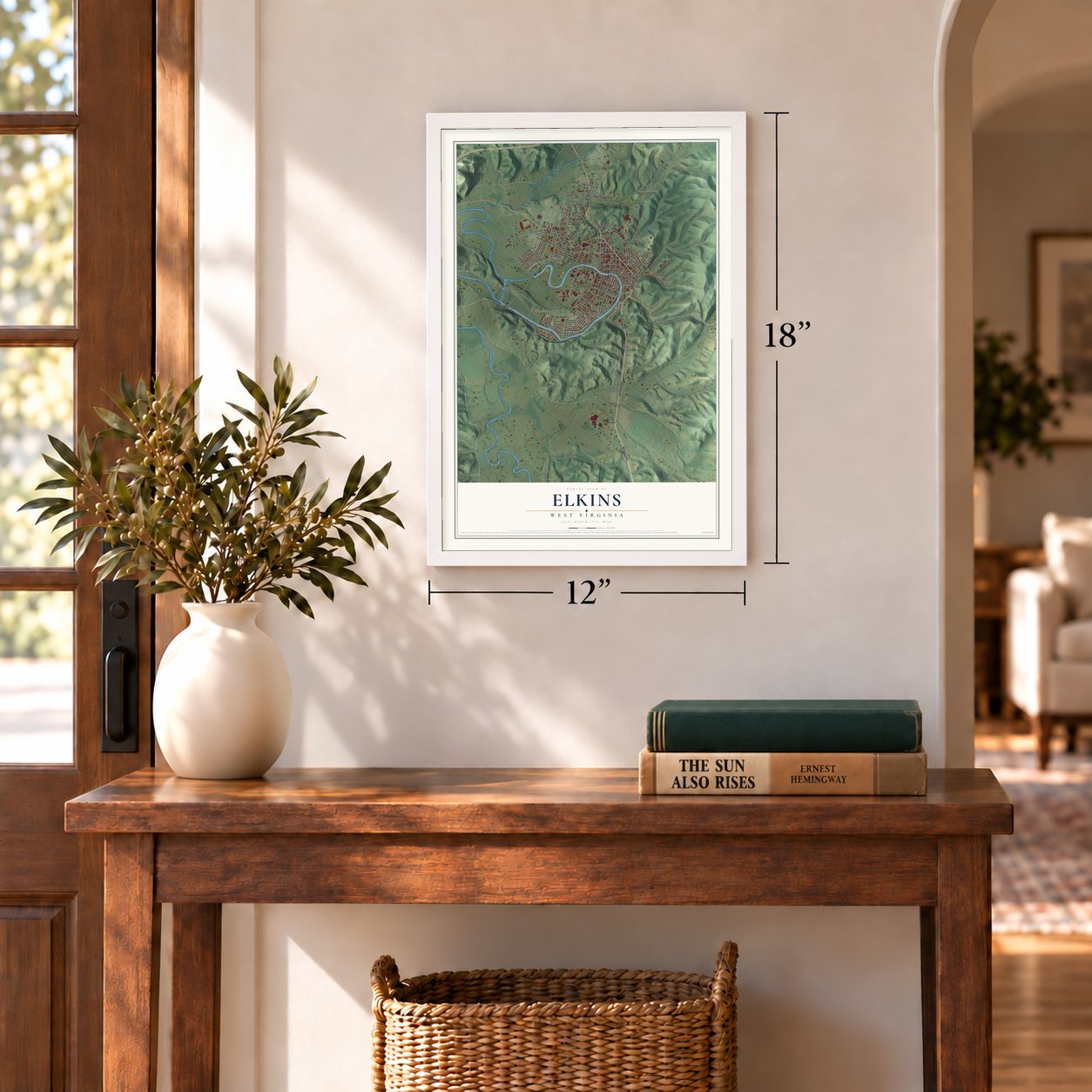
Unframed archival matte, a black wood frame or a white wood frame.
Up close
Geography Worth Displaying
This map was created using accurate cartographic data and authoritative geographic sources, including the U.S. Geological Survey and the Census Bureau. The map brings together terrain, waterways, roads, and building detail. The majority of the streets are labeled, houses are accurately depicted, and the topography is derived from government sources. Combining local data with carefully composed color and shading leads to this beautifully detailed Elkins artwork for your wall.
Rather than simply showing street outlines, we’ve included as many of the street names as we could reasonably fit on the map while keeping their names legible. Zoom in on the high resolution preview to see exactly what’s on the map. We truly set out to create a statement piece for anyone who loves Elkins. So whether it’s for you, or a gift for someone you love, we hope this map of Elkins brings back fond memories.
Read the story behind this map of Elkins, West Virginia from 2026.
Find your street
Names on the Elkins map
Every name below is printed on this map. Look for your street, your school, the park where you played, or the pond down the road.
Places and landmarks4
- Elkins City Hall
- Elkins Junction
- Harpertown
- Leadsville
Streets and roads153
- Randolph Avenue
- Beverly Pike
- Harrison Avenue
- Elkins Via Scott
- Sylvester Drive
- Center Street
- Scott Ford Road
- County Route 21
- Georgetown Road
- Kennedy Drive
- Gorman Avenue
- Livingston Avenue
- Industrial Park Road
- John Street
- Andrews Street
- Eleventh Street
- North Randolph Avenue
- Guy Street
- Sunset Drive
- County Route 23
- South Davis Avenue
- 13th Street
- Sycamore Street
- First Street
- Wilson Street
- Kerens Avenue
- County Route 9
- Harpertown Road
- County Route 17
- Lough Street
Show all 153 streets
- River Street
- Flood Control Road
- 15th Street
- Campus Drive
- Barron Avenue
- Diamond Street
- Washington Avenue
- Central Street
- Davis Avenue
- Railroad Avenue
- Bruce Street
- Pleasant Avenue
- Riverbend Road
- Lincoln Avenue
- Lavalette Avenue
- Martin Street
- 16th Street
- Yokum Street
- Taylor Avenue
- Horseshoe Lane
- Cole Avenue
- Davis & Elkins Street
- Residential Drive
- Ferndale Drive
- High Street
- Buffalo Street
- TV Mall Road
- Tenth Street
- Vector Avenue
- Wilson Lane
- Riverview Drive
- Fourth Street
- Ervin Lane
- Elm Street
- Allen Drive
- Henry Avenue
- Baxter Street
- Kerens Hill
- Bell Street
- McQuain Road
- North Twelfth Street
- Ellis Avenue
- Terrace Avenue
- Coke Lane
- Southview Drive
- Wilton Avenue
- Carl Lane
- George Street
- Nathan Street
- Hinkle Street
- Thorn Avenue
- Marro Drive
- Easy Street
- Hill Lane
- Goff Street
- Moore Street
- Slims Lane
- Oak Street
- Pike Street
- Harper Road
- Locust Street
- Knapp Street
- Lloyd Lane
- Graceland Drive
- Alexander Avenue
- South Henry Avenue
- Boundary Avenue
- Evergreen Drive
- Weese Street
- Graceland Hills Drive
- Patricia Avenue
- Third Street
- Walts Lane
- White Oak Lane
- Grace Circle
- Whiteman Avenue
- Indrustral Pk Road
- Fisher Lane
- Gilmore Avenue
- Conway Drive
- Short Street
- Jones Drive
- Colonial Drive
- College Street
- South Gate Road
- Church Lane
- Sugar Hill Lane
- Cherry Street
- Gilmore Street
- Hanley Street
- Pine Street
- Dent Street
- Sixth Street
- Worth Avenue
- Edgewater Drive
- Heavner Acres
- Ward Avenue
- Oak Crest Drive
- Orchard Street
- Glendale Avenue
- Second Street
- Mountain View Drive
- Firehouse Lane
- Tygart Avenue
- Fifth Street
- Westview Drive
- Grandview Avenue
- Findley Street
- Bethany Lane
- Bohen Lane
- Jill Lane
- Gay Street
- South Randolph
- Valley Court
- West Central Street
- West Main Street
- West Davis Street
- Jackson Lane
- Magnolia Lane
- College Drive
- Midland Street
- Prospect Street
- Barb Lane
Names are listed as they appear on the printed map. Zoom into the product photos to find them.
About Elkins, West Virginia
Elkins is a city of 6,934 people and the seat of Randolph County, set where Leading Creek meets the Tygart Valley River. Thomas Skidmore, a Maryland man, held title to 400 acres on the river's east side before 1778, and John Poage surveyed the tract in 1780. That land covers most of today's downtown. For years the spot was called Leadsville, a scatter of farms whose corn went downriver by boat.
Henry G. Davis and his son-in-law Stephen B. Elkins, both U.S. senators, changed that. In 1889 they brought their West Virginia Central and Pittsburgh Railway into the valley, and in 1890 they laid out a city named for Elkins, built on railroads, coal and timber. Each man also built a home where the view was best: Halliehurst for Elkins in 1890 and Graceland for Davis in 1893.
“You can stand on any street in Elkins and turn in all directions and see forest covered mountains rimming the city.”
- A county seat warElkins and nearby Beverly fought hard over which town would be Randolph County's seat. Beverly's new courthouse burned in 1897 under suspicious circumstances, and the fight went through several referendums and court rulings while armed bands gathered in both towns. No blood was shed, and Elkins won the seat in 1899. Its Richardsonian Romanesque courthouse was finished in 1904, and the Randolph County Courthouse and Jail joined the National Register in 1980.
- 18 trains a day in 1930The railroad became part of the Western Maryland Railway in 1905 and kept growing, and Elkins became a busy passenger stop. In 1930, 18 passenger trains came and went every day. The last passenger service ended in 1958.
- Davis & Elkins College, 1904Davis & Elkins College opened in Elkins in 1904 and teaches the liberal arts to students from many states and other countries. Every summer its campus and the town host the Augusta Heritage Festival, five weeks of old-time, bluegrass, Cajun and Irish music, dance, and crafts such as wood and metal working.
- The Mountain State Forest FestivalEach early October the Mountain State Forest Festival draws thousands of visitors to Elkins. The city is also headquarters of the Monongahela National Forest, 910,155 acres of the High Alleghenies to the east, and in 1995 Norman Crampton's The 100 Best Small Towns in America included Elkins.
Keep exploring West Virginia
Elkins is one of 514 West Virginia towns we've mapped. Every dot on the map is a print of its own.
The search covers every state, West Virginia first.
Near Elkins
Order 2 or more town maps and save 10%. Shown in the size and finish you picked above, so they hang as a set.
- Midland 12" x 18" / Archival Matte Print $39.99
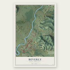
- Beverly 12" x 18" / Archival Matte Print $39.99
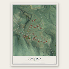
- Coalton 12" x 18" / Archival Matte Print $39.99

More maps nearby: Norton, Junior, Belington, Bowden and Dailey.
The art of mapping a place
How This Map Was Made
Real places. Remarkable detail. Discover the layers that turn geographic data into a map of home.

The view from above
Aerial imagery reveals the character of the land: woodland, open fields, and the patterns of a place.

The shape of the land
Elevation data brings hills, valleys, and subtle changes in the landscape into view.

The details of home
Roads, waterways, and building footprints come together to make the map feel unmistakably local.

Geography becomes art
Considered color, shading, and typography bring the layers together in a map made for your wall.


Process illustrated with Mendon, Massachusetts. Aerial imagery: USDA NAIP. Terrain: USGS 3D Elevation Program. Map details and finished artwork: KNOWOL.
The Details
About This Print
Choose an archival matte print, or a black or white Ayous wood frame. The archival matte print is unframed.
Select your size and finish above to see the matching product image and price.
Materials & Craftsmanship
A contemporary map with the character of a classic atlas, printed on archival matte paper. Optional frames are made from Ayous wood.
Your printed map does not include the watermark shown in the full-map preview.
Shipping & Delivery
Free shipping within the United States. Every print is made to order in the USA.
Buying a gift? Add a note in your cart and we'll include it. We never put prices in the package.
Prints ship within 2 to 3 business days. Allow 7 to 10 days total from ordering for delivery. Timing may vary during holidays or periods of high order volume.
Read our shipping policy.
Returns and damaged prints
Each print is made to order. Change-of-mind refunds are not available after production.
If your print arrives damaged, misprinted or incorrect, contact support@knowol.com within 30 days of receiving it. Include your order number, photos and a description of the issue.
Read our full refund and replacement policy. For questions about your order, email support@knowol.com.