
Search for another town





Free U.S. delivery 7 to 10 days after you order
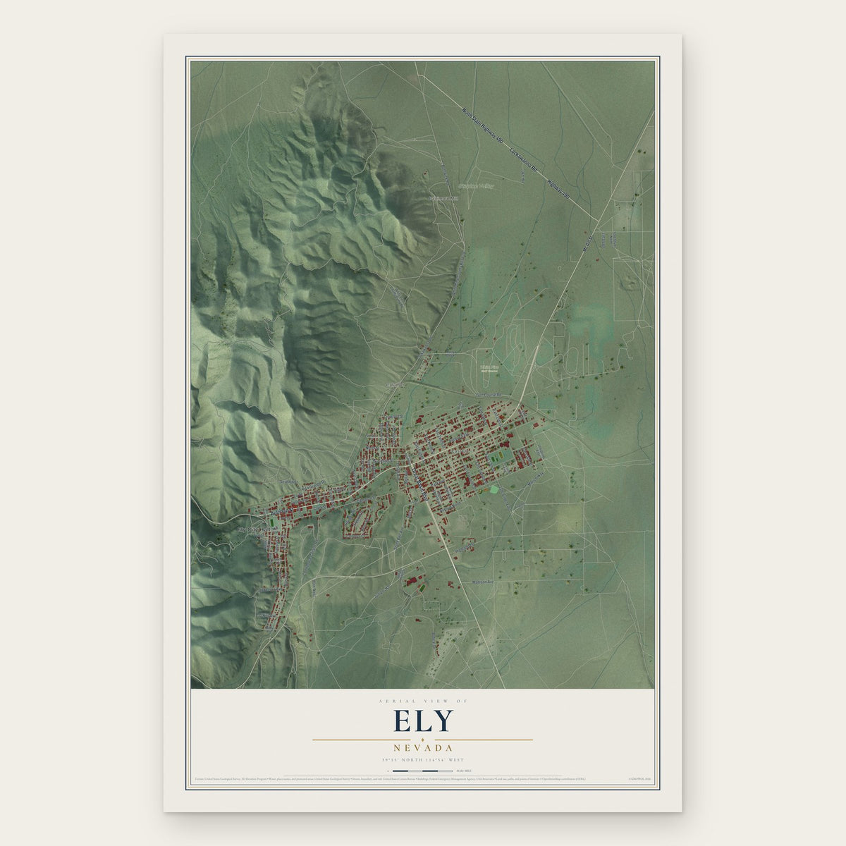
Ely, Nevada Map Art
A new map of Ely, Nevada, made in 2026 and printed to order on thick archival matte paper.
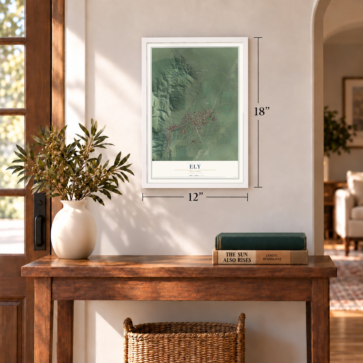
12" x 18" Archival Matte Print
A Map of Home. A Work of Art.
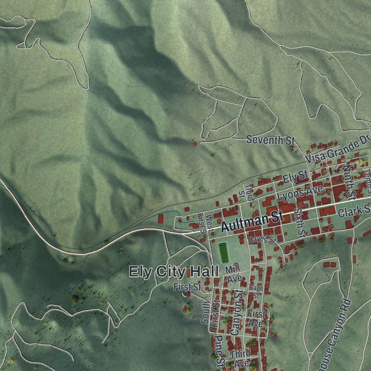
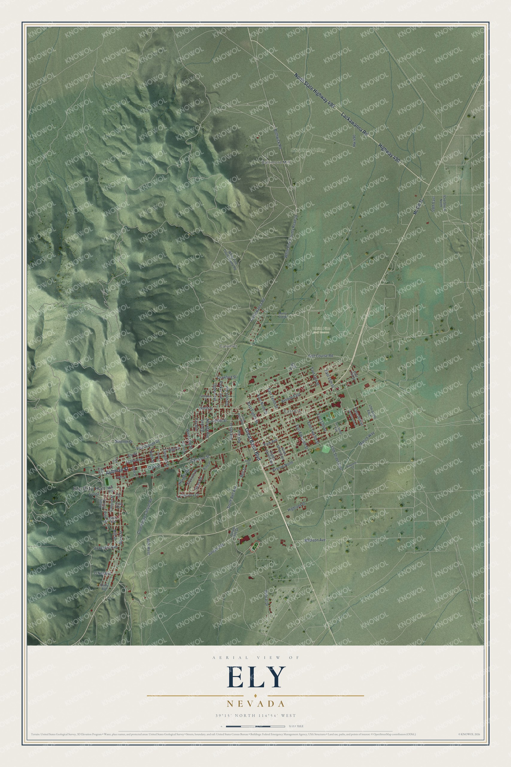
Explore Ely, Nevada from a whole new perspective. Created using aerial imagery and detailed geographic data, this map captures Ely building by building, with labeled streets, familiar landmarks, and shaded topographical relief that highlights the natural contours of the landscape.
Combining modern data with the timeless character of a vintage atlas, this map is just as interesting up close as it is beautiful on the wall. Whether you grew up in Ely, spent memorable years there, or call it home today, this unique map is a great way to celebrate a place that means something to you. Zoom in on the preview to look for your street, and then order a print to put your memories on the wall.
Three ways to hang it
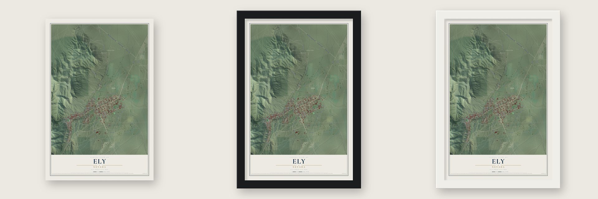
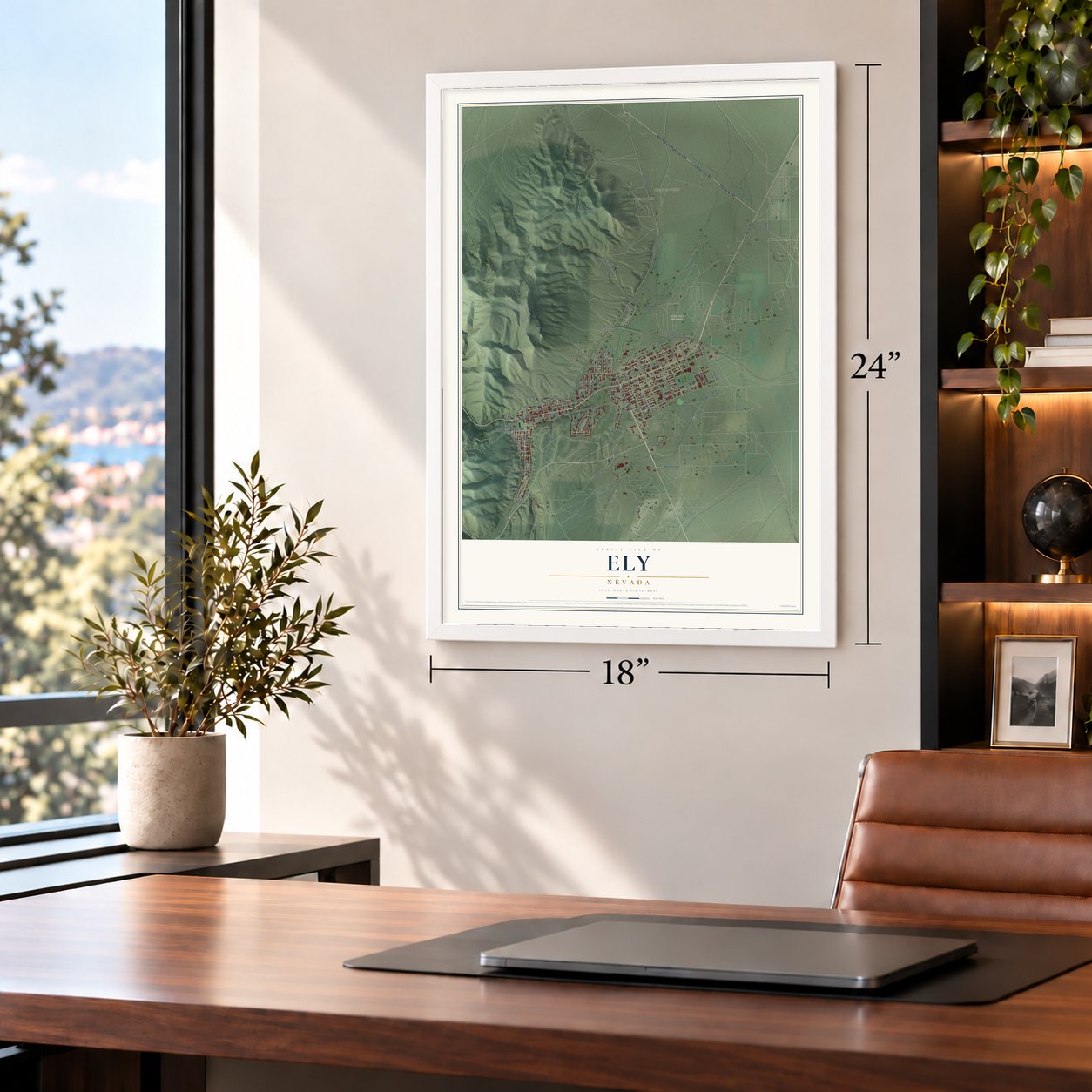
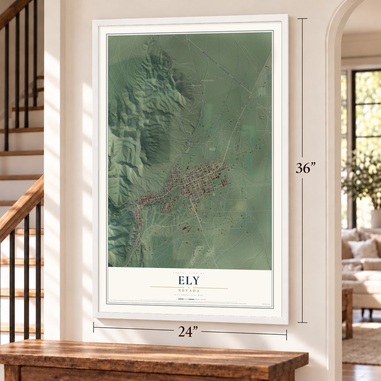
Unframed archival matte, a black wood frame or a white wood frame.
Up close
Geography Worth Displaying
This map was created using accurate cartographic data and authoritative geographic sources, including the U.S. Geological Survey and the Census Bureau. The map brings together terrain, waterways, roads, and building detail. The majority of the streets are labeled, houses are accurately depicted, and the topography is derived from government sources. Combining local data with carefully composed color and shading leads to this beautifully detailed Ely artwork for your wall.
Rather than simply showing street outlines, we’ve included as many of the street names as we could reasonably fit on the map while keeping their names legible. Zoom in on the high resolution preview to see exactly what’s on the map. We truly set out to create a statement piece for anyone who loves Ely. So whether it’s for you, or a gift for someone you love, we hope this map of Ely brings back fond memories.
About Ely, Nevada
Ely is the county seat of White Pine County and the only city in it, with 3,924 people at the 2020 census. It started as a stagecoach stop on the Pony Express and the Central Overland Route. In 1878 J. W. Long, a Vermont man, found gold in the county and set up a mining camp that he named Ely.
Hamilton served as the county seat until it burned in 1885. Two years later the seat moved to Ely, and the camp became a lasting town. Copper was found in 1906, and when the Nevada Northern railroad reached Ely in 1907, the copper mines boomed. That boom made Ely a mining town, years after other towns along US 50 had had theirs.
- Four stories behind a nameNobody agrees on where the name Ely came from. Some say J. W. Long named the camp for his hometown of Ely, Vermont. Local historians say a New York congressman named Ely sent Long west to represent him. Others credit Smith Ely, a Vermont native who paid for one of the early mining operations, or John Ely, a miner from Illinois.
- Copper, gold, then copper againKennecott Copper Corporation took over Nevada Consolidated in 1943, and by 1958 it controlled every property in the district. After copper prices crashed in the mid-1970s, Kennecott closed and the copper mines went quiet. Gold kept Ely going through the 1980s and 1990s, as companies used cyanide heap leaching to pull gold from old waste rock and low-grade ore. Then copper came back, and soaring demand in 2005 made Ely a copper boom town once more.
- Nevada's tallest in 1929The Hotel Nevada opened downtown in 1929. At six stories it was the tallest building in the state until 1931, and it was also Nevada's first fireproof building. It still takes in guests, diners, gamblers and tourists.
- The Ghost Train of Old ElyThe rail lines that once ran to the mines at Austin and Eureka are long gone, but the Nevada Northern Railway to Ely survives as a heritage railroad and museum. Its working steam passenger train runs over the old tracks from Ely to the Robinson mining district. The railroad's Locomotive #40 joined the National Register in 1993.
- Birthplace of a first ladyPat Nixon was born in Ely, where her father worked as a miner. The family moved away when she was two. She came back with her husband, Richard Nixon, when he campaigned through the area for vice president in 1952.
Find your street
Names on the Ely map
Every name below is printed on this map. Look for your street, your school, the park where you played, or the pond down the road.
Places and landmarks6
- Ely City Hall
- Baltimore Mill
- East Ely
- Calumet
- Steptoe Valley
- White Pine Golf Course
Streets and roads92
- Aultman Street
- Great Basin Boulevard
- Lackawanna Road
- North State Highway 490
- Highway 490
- South Bell Avenue
- Bell Avenue
- 80th West
- Juniper Heights
- Park Avenue
- East 15th Street
- Madison Avenue
- Mill Street
- Campton Street
- North Street
- Fay Avenue
- East 14th Street
- Crawford Street
- Connors Court
- High Street
- Ely Avenue
- East Eighth Street
- West 15th Street
- White Pine County Road 19
- Murry Street
- Bobcat Drive
- Bothwick Road
- Ely Street
- East Tenth Street
- East Eleventh Street
Show all 92 streets
- Avenue East
- East 13th Street
- East Twelfth Street
- Orson Avenue
- Courthouse Canyon Road
- Avenue North
- Hw 490
- Lyons Avenue
- Marich Way
- Ogden Avenue
- Clark Street
- Seventh Street
- East Ninth Street
- Nevada Avenue
- Parker Avenue
- East 16th Street
- Center Street
- Golf Course Road
- Elysium Drive
- Stevens Avenue
- Pine Street
- Reno Road
- Canyon Street
- Highland Drive
- Visa Grande Drive
- Dickerson Avenue
- Nevada Road
- 13th Street East
- Bell Street
- Eleventh Street
- O'Neil Avenue
- 59th East
- Ninth Street
- Mc Gill Street
- Murry Creek
- Juniper Hills Drive
- South First Street
- Reilly Avenue
- Eighth Street East
- White Pine County Dump Road
- Ruby Street
- Ninth Street East
- 93rd Street North
- First Street
- First Avenue
- 17th Street East
- Sixth Street
- Third Avenue
- East 17th Street
- Mill Avenue
- Pinwheel Lane
- Hayes Street
- 14th Street East
- Tenth Street
- Winter Road
- Cleve Drive
- West First Street
- Third Street
- Strandman Street
- Mountain View Drive
- Sage Street
- West 14th Street
Names are listed as they appear on the printed map. Zoom into the product photos to find them.
The art of mapping a place
How This Map Was Made
Real places. Remarkable detail. Discover the layers that turn geographic data into a map of home.

The view from above
Aerial imagery reveals the character of the land: woodland, open fields, and the patterns of a place.

The shape of the land
Elevation data brings hills, valleys, and subtle changes in the landscape into view.

The details of home
Roads, waterways, and building footprints come together to make the map feel unmistakably local.

Geography becomes art
Considered color, shading, and typography bring the layers together in a map made for your wall.


Process illustrated with Mendon, Massachusetts. Aerial imagery: USDA NAIP. Terrain: USGS 3D Elevation Program. Map details and finished artwork: KNOWOL.
The Details
About This Print
Choose an archival matte print, or a black or white Ayous wood frame. The archival matte print is unframed.
Select your size and finish above to see the matching product image and price.
Materials & Craftsmanship
A contemporary map with the character of a classic atlas, printed on archival matte paper. Optional frames are made from Ayous wood.
Your printed map does not include the watermark shown in the full-map preview.
Shipping & Delivery
Free shipping within the United States. Every print is made to order in the USA.
Buying a gift? Add a note in your cart and we'll include it. We never put prices in the package.
Prints ship within 2 to 3 business days. Allow 7 to 10 days total from ordering for delivery. Timing may vary during holidays or periods of high order volume.
Read our shipping policy.
Returns and damaged prints
Each print is made to order. Change-of-mind refunds are not available after production.
If your print arrives damaged, misprinted or incorrect, contact support@knowol.com within 30 days of receiving it. Include your order number, photos and a description of the issue.
Read our full refund and replacement policy. For questions about your order, email support@knowol.com.
Find your town
Looking for another city?
Find a map of home in our Nevada collection, or any town in the country.
Nearby
Maps of towns near Ely
Know someone from one of these towns? Their map makes a great gift.
 Ruth
Ruth, Nevada
From $39.99See the map
 McGill
, Nevada
From $39.99See the map
 Preston
, Nevada
From $39.99See the map
More maps nearby: Lund, Baker, Eureka, Mount Wilson and Pioche.