
Search for another town




Free U.S. delivery 7 to 10 days after you order
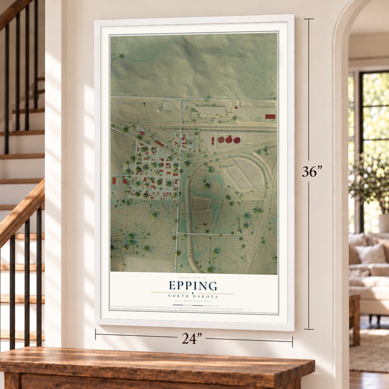
Epping, North Dakota Map Art
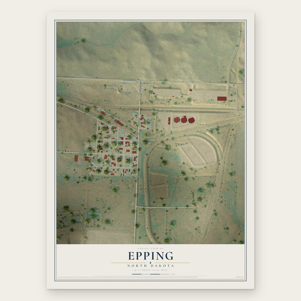
A new map of Epping, North Dakota, made in 2026 and printed to order on thick archival matte paper.
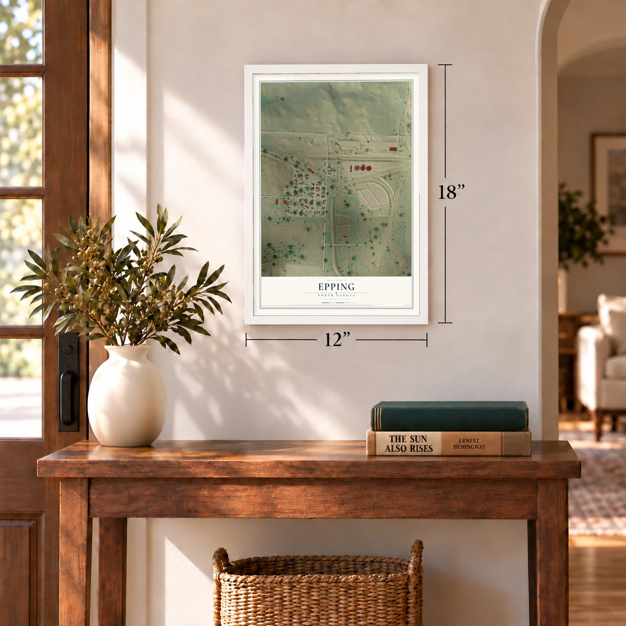
12" x 18" Archival Matte Print
A Map of Home. A Work of Art.
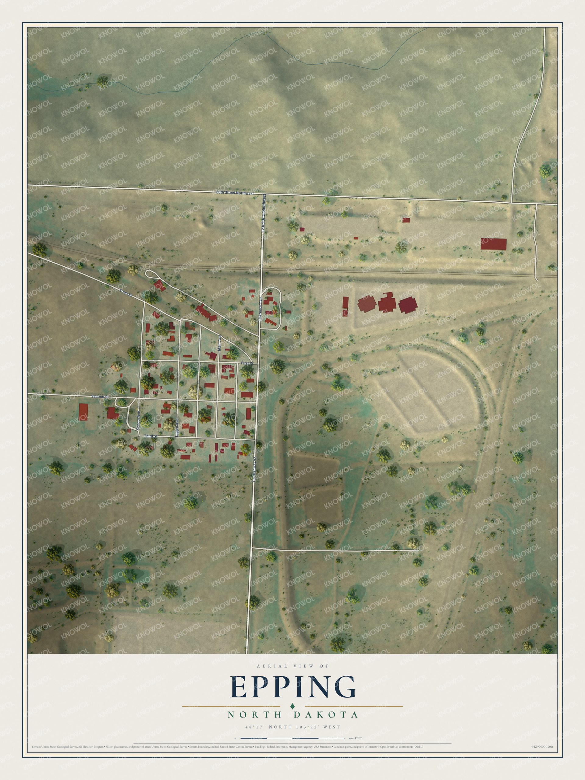
Explore Epping, North Dakota from a whole new perspective. Created using aerial imagery and detailed geographic data, this map captures Epping building by building, with labeled streets, familiar landmarks, and shaded topographical relief that highlights the natural contours of the landscape.
Combining modern data with the timeless character of a vintage atlas, this map is just as interesting up close as it is beautiful on the wall. Whether you grew up in Epping, spent memorable years there, or call it home today, this unique map is a great way to celebrate a place that means something to you. Zoom in on the preview to look for your street, and then order a print to put your memories on the wall.
Three ways to hang it
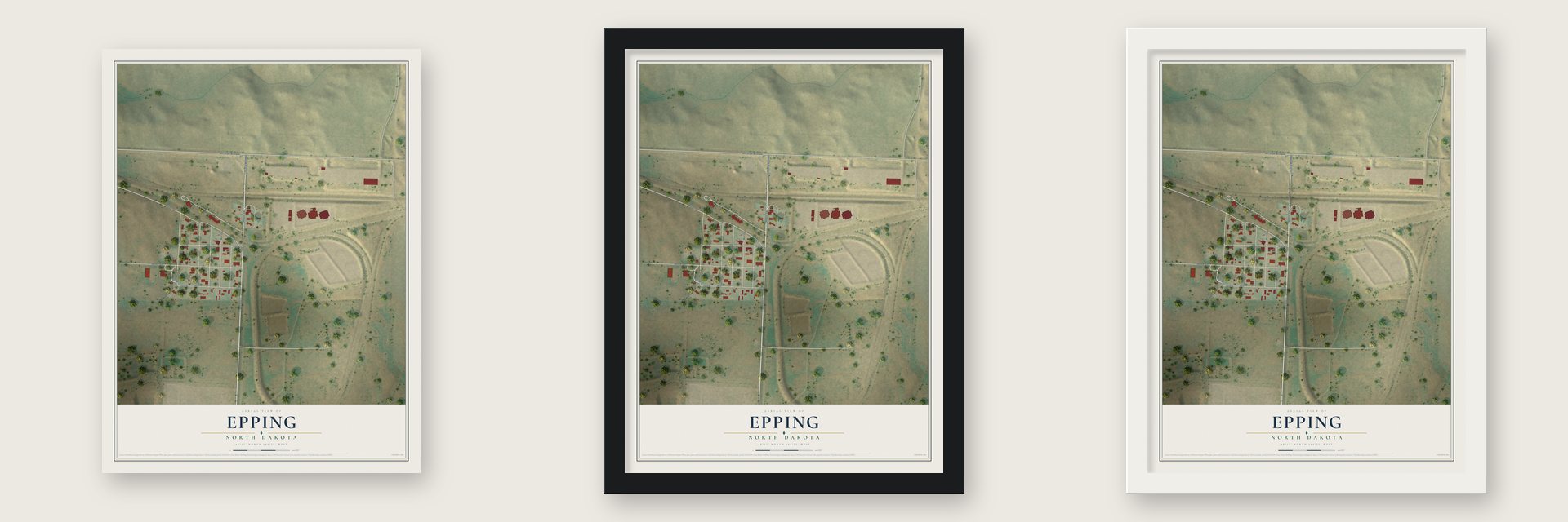
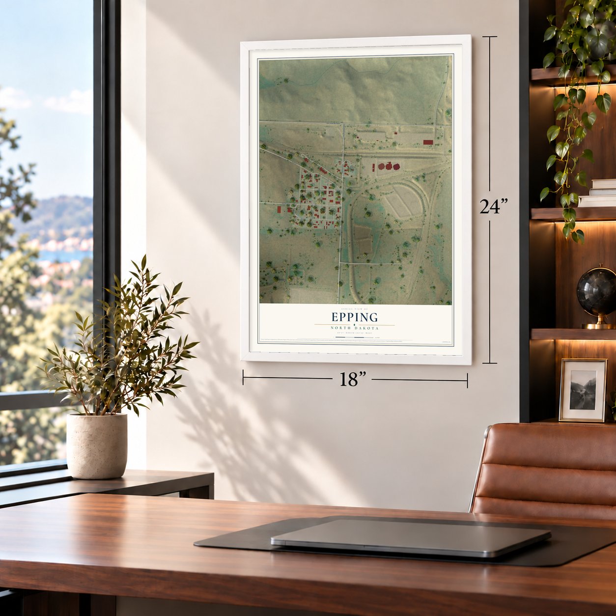
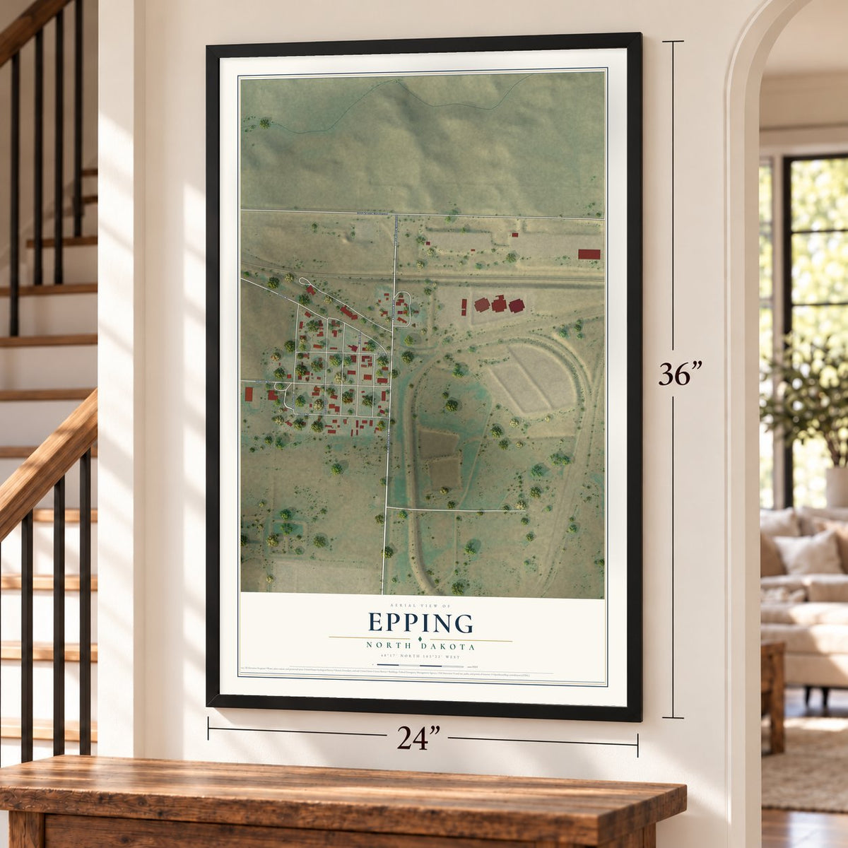
Unframed archival matte, a black wood frame or a white wood frame.
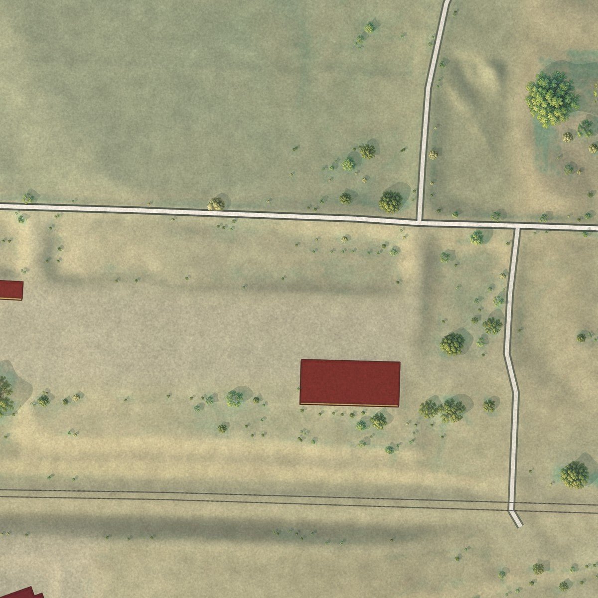
Up close
Geography Worth Displaying
This map was created using accurate cartographic data and authoritative geographic sources, including the U.S. Geological Survey and the Census Bureau. The map brings together terrain, waterways, roads, and building detail. The majority of the streets are labeled, houses are accurately depicted, and the topography is derived from government sources. Combining local data with carefully composed color and shading leads to this beautifully detailed Epping artwork for your wall.
Rather than simply showing street outlines, we’ve included as many of the street names as we could reasonably fit on the map while keeping their names legible. Zoom in on the high resolution preview to see exactly what’s on the map. We truly set out to create a statement piece for anyone who loves Epping. So whether it’s for you, or a gift for someone you love, we hope this map of Epping brings back fond memories.
Read the story behind this map of Epping, North Dakota from 2026.

About Epping, North Dakota
From the Federal Writers Project: "EPPING, 348.5 m. (2,224 alt., 183 pop.), named for Epping, in England, lies on the southern slope of one of the many rolling hills of the prairie."
From the University of Virginia Press: "Epping was established speculatively by the Great Northern Railway. After the arrival of a shipment of wood construction materials to the railhead here in 1906, the town experienced a remarkable growth in its number of buildings, including hotels, general merchandise stores, and lodge halls."
Find your street
Names on the Epping map
Every name below is printed on this map. Look for your street, your school, the park where you played, or the pond down the road.
Streets and roads11
- County Highway 42
- 123rd Drive Northwest
- Lawrence Avenue
- 60th Street Northwest
- Front Street
- Second Street
- School Avenue
- Third Street
- Uggen Avenue
- First Street
- Main Avenue
Names are listed as they appear on the printed map. Zoom into the product photos to find them.
The art of mapping a place
How This Map Was Made
Real places. Remarkable detail. Discover the layers that turn geographic data into a map of home.

The view from above
Aerial imagery reveals the character of the land: woodland, open fields, and the patterns of a place.

The shape of the land
Elevation data brings hills, valleys, and subtle changes in the landscape into view.

The details of home
Roads, waterways, and building footprints come together to make the map feel unmistakably local.

Geography becomes art
Considered color, shading, and typography bring the layers together in a map made for your wall.


Process illustrated with Mendon, Massachusetts. Aerial imagery: USDA NAIP. Terrain: USGS 3D Elevation Program. Map details and finished artwork: KNOWOL.
The Details
About This Print
Choose an archival matte print, or a black or white Ayous wood frame. The archival matte print is unframed.
Select your size and finish above to see the matching product image and price.
Materials & Craftsmanship
A contemporary map with the character of a classic atlas, printed on archival matte paper. Optional frames are made from Ayous wood.
Your printed map does not include the watermark shown in the full-map preview.
Shipping & Delivery
Free shipping within the United States. Every print is made to order in the USA.
Buying a gift? Add a note in your cart and we'll include it. We never put prices in the package.
Prints ship within 2 to 3 business days. Allow 7 to 10 days total from ordering for delivery. Timing may vary during holidays or periods of high order volume.
Read our shipping policy.
Returns and damaged prints
Each print is made to order. Change-of-mind refunds are not available after production.
If your print arrives damaged, misprinted or incorrect, contact support@knowol.com within 30 days of receiving it. Include your order number, photos and a description of the issue.
Read our full refund and replacement policy. For questions about your order, email support@knowol.com.
Find your town
Looking for another city?
Find a map of home in our North Dakota collection, or any town in the country.
Nearby
Maps of towns near Epping
Know someone from one of these towns? Their map makes a great gift.
 Springbrook
, North Dakota
From $39.99See the map
 Ray
Ray, North Dakota
From $39.99See the map
 Long Creek
, North Dakota
From $39.99See the map
More maps nearby: Williston, Blacktail, Tioga, Alamo and Wildrose.