
Search for another town

Free U.S. delivery 7 to 10 days after you order
Eugene, Oregon Map Art
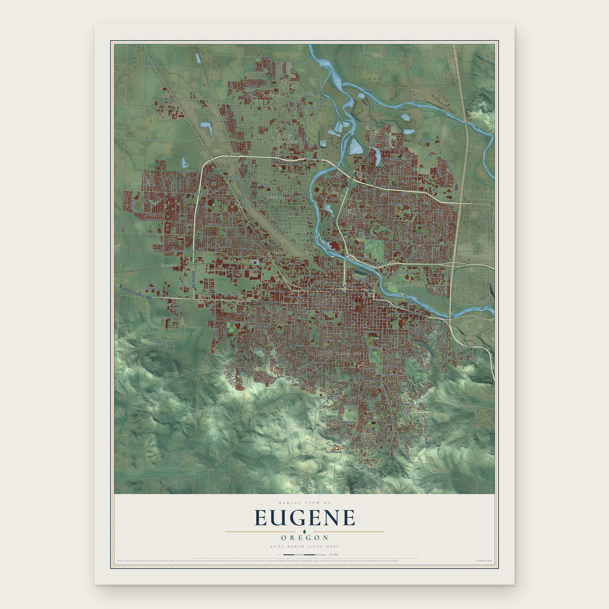
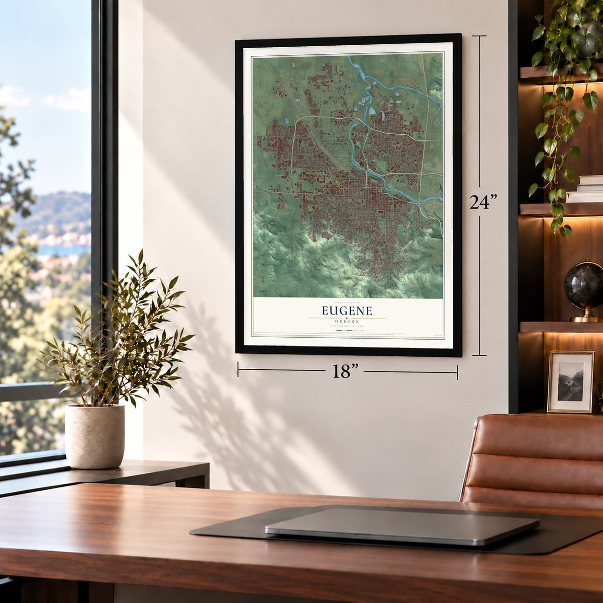
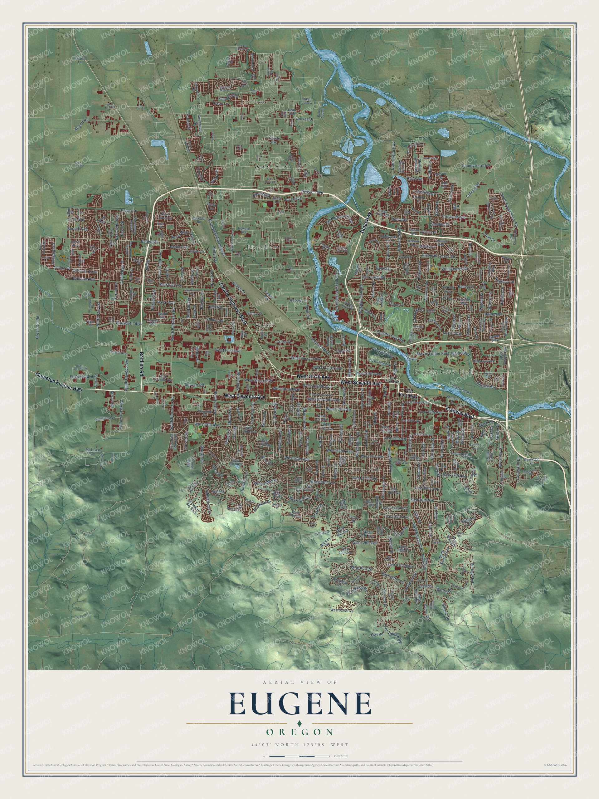
A new map of Eugene, Oregon, made in 2026 and printed to order on thick archival matte paper.
12" x 18" Archival Matte Print
A Map of Home. A Work of Art.
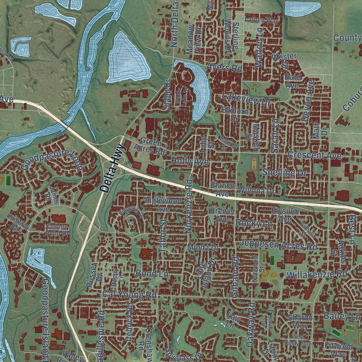
Explore Eugene, Oregon from a whole new perspective. Created using aerial imagery and detailed geographic data, this map captures Eugene building by building, with labeled streets, familiar landmarks, and shaded topographical relief that highlights the natural contours of the landscape.
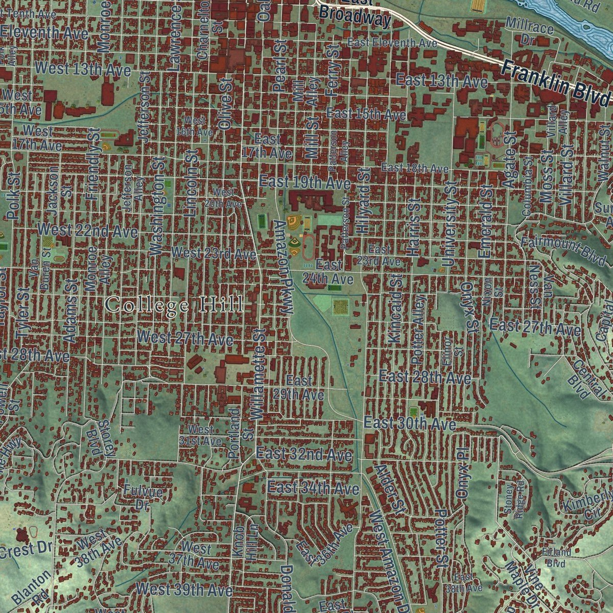
Combining modern data with the timeless character of a vintage atlas, this map is just as interesting up close as it is beautiful on the wall. Whether you grew up in Eugene, spent memorable years there, or call it home today, this unique map is a great way to celebrate a place that means something to you. Zoom in on the preview to look for your street, and then order a print to put your memories on the wall.
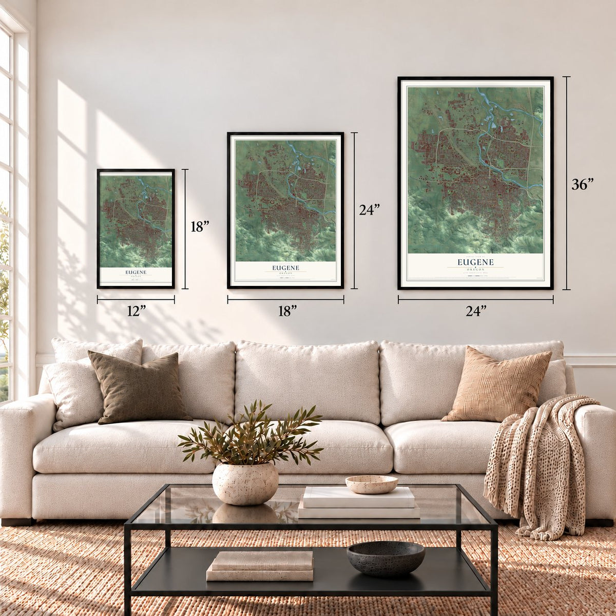
Three ways to hang it
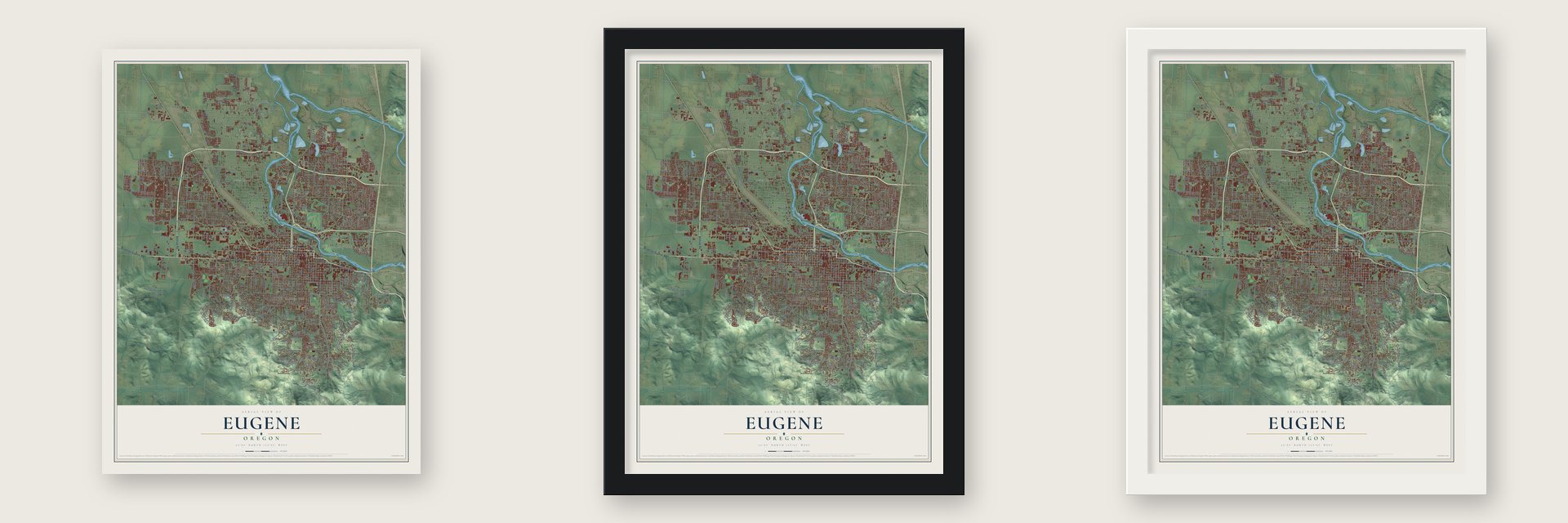
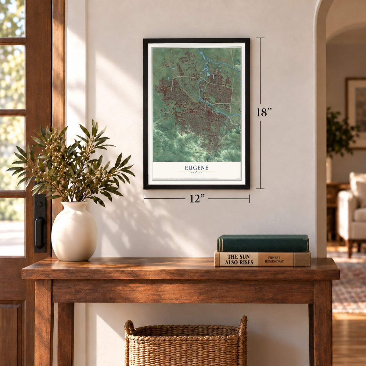
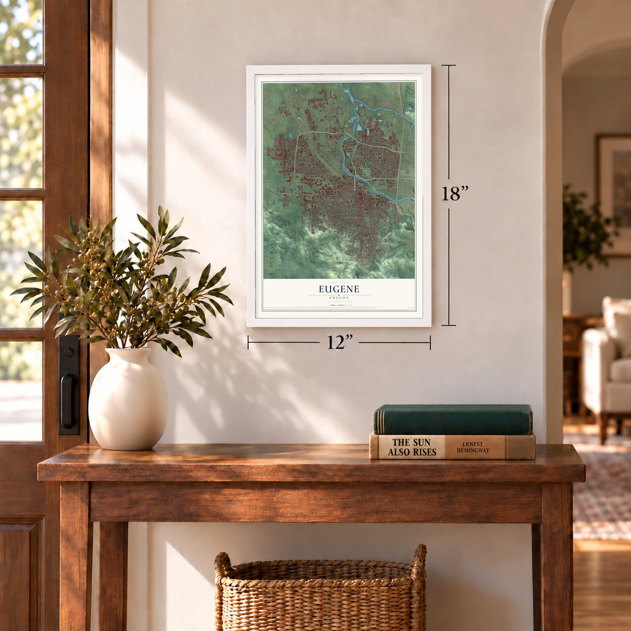
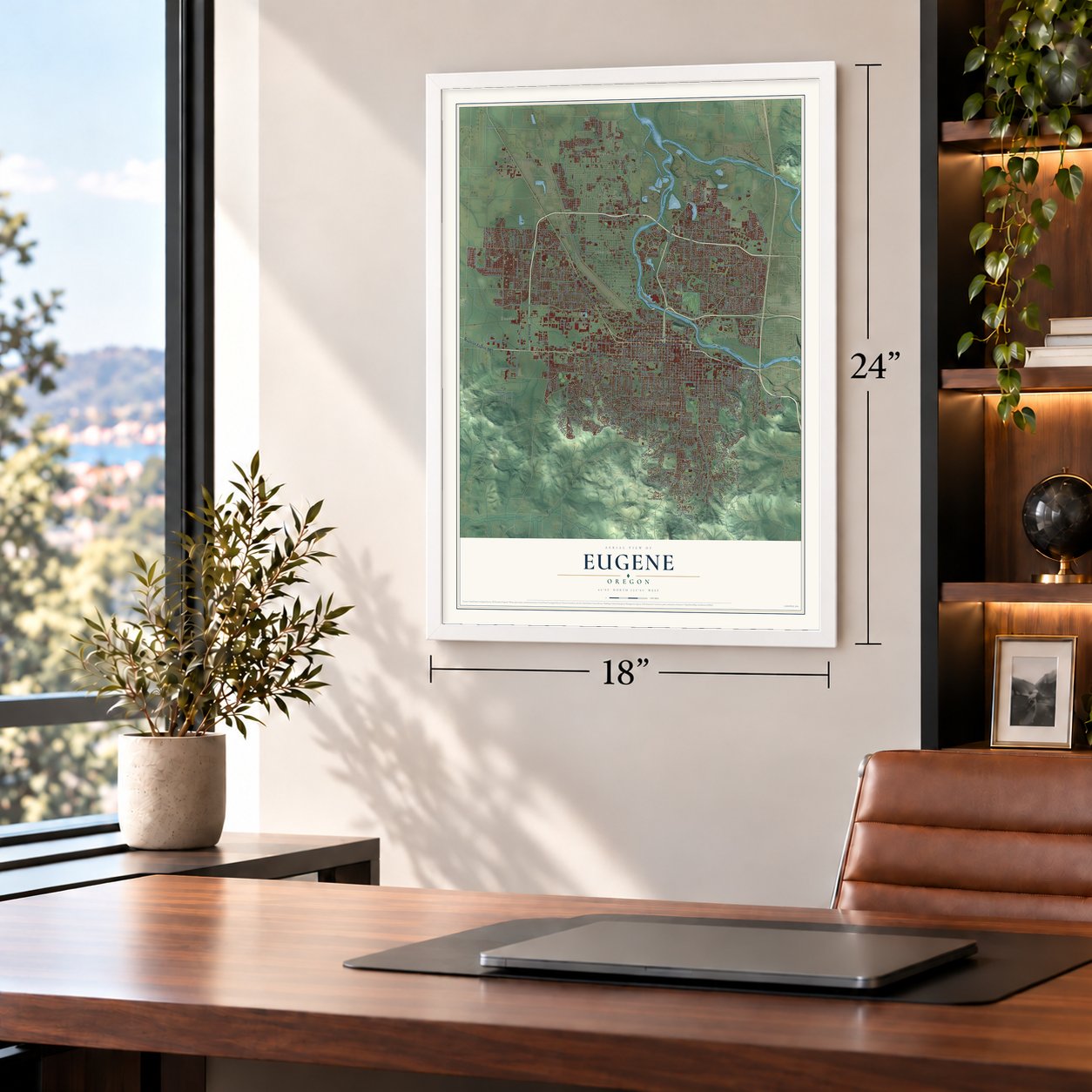
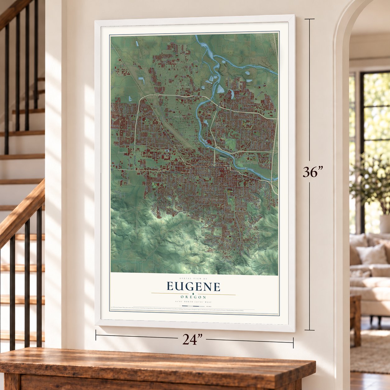
Unframed archival matte, a black wood frame or a white wood frame.
Up close
Geography Worth Displaying
This map was created using accurate cartographic data and authoritative geographic sources, including the U.S. Geological Survey and the Census Bureau. The map brings together terrain, waterways, roads, and building detail. The majority of the streets are labeled, houses are accurately depicted, and the topography is derived from government sources. Combining local data with carefully composed color and shading leads to this beautifully detailed Eugene artwork for your wall.
Rather than simply showing street outlines, we’ve included as many of the street names as we could reasonably fit on the map while keeping their names legible. Zoom in on the high resolution preview to see exactly what’s on the map. We truly set out to create a statement piece for anyone who loves Eugene. So whether it’s for you, or a gift for someone you love, we hope this map of Eugene brings back fond memories.
About Eugene, Oregon
From the Oregon Encyclopedia: "A post office named Skinner’s was established in 1850, a town site was platted in 1852, and Eugene City was incorporated in 1862. Frequent flooding during the October-to-April rainy season earned it the nickname Skinner’s Mudhole."
Find your street
Names on the Eugene map
Every name below is printed on this map. Look for your street, your school, the park where you played, or the pond down the road.
Places and landmarks7
- Eugene City Hall
- Danebo
- Bethel
- College Hill
- Fir Grove
- River Road
- Santa Clara
Streets and roads482
- West Eleventh Avenue
- Franklin Boulevard
- Mapleton Eugene Highway
- West Seventh Avenue
- Beltline Road
- West Sixth Avenue
- Pacific Highway West
- Delta Highway
- Coburg Road
- Willamette Street
- McLean Boulevard
- Norkenzie Road
- Warren Street
- Bailey Lane
- South Danebo Avenue
- Todd Street
- Railroad Boulevard
- Agate Street
- Jessen Drive
- Clark Street
- Terry Street
- West First Avenue
- Garfield Street
- West Broadway
- Fillmore Street
- West 27th Avenue
- Northwest Expressway
- West 18th Avenue
- Roosevelt Boulevard
- Hilyard Street
Show all 482 streets
- Chambers Street
- Royal Avenue
- West Fifth Avenue
- High Street
- Barger Drive
- Green Hill Road
- Monroe Street
- Spring Boulevard
- North Terry Street
- Lincoln Street
- Washington Street
- Alder Street
- West 13th Avenue
- Goodpasture Island Road
- Timberline Drive
- Lawrence Street
- Bailey Hill Road
- West Amazon Drive
- Kincaid Street
- Olive Street
- Donald Street
- Gilham Road
- Pearl Street
- University Street
- Madison Street
- West 28th Avenue
- South Bertelsen Road
- Polk Street
- Fox Hollow Road
- Avalon Street
- Oak Street
- Crescent Avenue
- Dillard Road
- Potter Street
- West 22nd Avenue
- Ferry Street
- Adams Street
- Onyx Street
- Martin Luther King Junior Boulevard
- Bethel Drive
- Tyler Street
- Taylor Street
- City View Street
- Mill Street
- West 29th Avenue
- Willakenzie Road
- Willow Creek Road
- East 30th Avenue
- East 19th Avenue
- Cal Young Road
- Grant Street
- Harris Street
- West 24th Avenue
- West Eighth Avenue
- Emerald Street
- Hawkins Lane
- Crest Drive
- Friendly Street
- East 43rd Avenue
- Division Avenue
- Cross Street
- West Fourth Avenue
- East 13th Avenue
- Riverview Street
- West Second Avenue
- Chad Drive
- North Delta Highway
- Amazon Parkway
- Goodpasture Loop
- Elmira Road
- Willagillespie Road
- Country Club Road
- Harlow Road
- Villard Street
- Marshall Avenue
- Bell Avenue
- Echo Hollow Road
- Oakway Road
- Taney Street
- Waite Street
- County Farm Road
- East 27th Avenue
- West Seventh Place
- Cheshire Avenue
- Lakeview Drive
- River Avenue
- East 32nd Avenue
- Adelman Loop
- Dove Lane
- East 28th Avenue
- Elizabeth Street
- Berntzen Road
- North Game Farm Road
- Brae Burn Drive
- Blacktail Drive
- Laurel Hill Drive
- Airport Road
- Wilson Street
- Hughes Street
- Donohoe Avenue
- Seneca Road
- Candlelight Drive
- Stewart Road
- Ayers Road
- Barber Drive
- Birch Lane
- North Bertelsen Road
- Jeppesen Acres Road
- Cleveland Street
- Buck Street
- Wilkes Drive
- Wallis Street
- Tabor Street
- Ed Cone Boulevard
- Regency Drive
- Holly Avenue
- Throne Drive
- Bardell Avenue
- Arcadia Drive
- Sorrel Way
- Burnett Avenue
- East 46th Avenue
- Best Lane
- Owl Road
- Larkwood Street
- Kinsrow Avenue
- Moss Street
- Sylvan Street
- Cody Avenue
- Pierce Street
- Harvard Drive
- East Irwin Way
- Devos Street
- Walton Lane
- Club Road
- Tyson Lane
- West 39th Avenue
- Devon Avenue
- Louis Street
- Aerial Way
- Stonewood Drive
- Onyx Place
- Calistoga Court
- Juhl Street
- East 34th Avenue
- Sterling Drive
- Fircrest Drive
- Robin Avenue
- Quaker Street
- Jacobs Drive
- Fair Oaks Drive
- Bond Lane
- Waverly Street
- Sarah Lane
- Snelling Drive
- Palomino Drive
- Randall Street
- Renne Street
- Sedona Drive
- Cherry Drive
- Snell Street
- Kalmia Street
- Knoop Lane
- Dola Street
- Jay Street
- Kintyre Street
- Rocky Lane
- Korbel Street
- Ash Street
- Covey
- East Broadway
- North Danebo Avenue
- North Shasta Loop
- Wilshire Lane
- Elanco Avenue
- West 37th Avenue
- Jefferson Street
- Charnelton Street
- West 25th Avenue
- Brookside Drive
- Fairmount Boulevard
- Lorane Highway
- Day Island Road
- West 17th Avenue
- East Amazon Drive
- East 15th Avenue
- Elysium Avenue
- West 23rd Avenue
- West 15th Avenue
- West 19th Avenue
- Jackson Street
- Spyglass Drive
- East 24th Avenue
- East 17th Avenue
- North Clarey Street
- Hayes Street
- Brittany Street
- Maxwell Road
- Wood Avenue
- North Park Avenue
- Arthur Street
- West 21st Avenue
- Augusta Street
- Summit Sky Boulevard
- River Loop 1
- Arrowhead Street
- Kimberly Circle
- East 36th Avenue
- Praslin Street
- Floral Hill Drive
- Monroe Alley
- Portland Street
- Cubit Street
- South Garden Way
- East 29th Avenue
- Russet Drive
- Victorian Way
- East Third Avenue
- Valley River Drive
- West 38th Avenue
- Fairfield Avenue
- Center Way
- Capital Drive
- Meadow View Drive
- Grand Cayman Drive
- Storey Boulevard
- Naismith Boulevard
- Sterling Woods Drive
- Golden Gardens Street
- Central Boulevard
- East 39th Place
- Green Acres Road
- Howard Avenue
- Fairway Loop
- West 34th Avenue
- Silver Lane
- Willona Drive
- Lariat Drive
- Roan Drive
- Ohio Street
- Ross Lane
- Saratoga Street
- West Hillside Drive
- Oak Patch Road
- Greiner Street
- River Loop 2
- Century Drive
- Trevon Street
- Sunshine Acres Drive
- Pitchford Avenue
- Old Coburg Road
- Crowther Drive
- North Garden Way
- Lasater Boulevard
- Debrick Road
- Potter Alley
- Vine Maple Drive
- Four Oaks Grange Road
- West 52nd Avenue
- Firwood Way
- Sand Avenue
- Walnut Street
- Minda Drive
- Taft Street
- Matt Drive
- Stapp Drive
- Long Island Drive
- Oxbow Way
- Mill Alley
- Grizzly Avenue
- Crenshaw Road
- Altura Street
- Foch Street
- Adkins Street
- West 40th Avenue
- Millrace Drive
- Wilson Drive
- Brewer Avenue
- Blanton Road
- Abbie Lane
- Walnut Lane
- Ashford Drive
- Elkhorn Drive
- Inglewood Avenue
- Fulvue Drive
- Dean Avenue
- Law Lane
- Knob Hill Lane
- Plumtree Drive
- Pacific Avenue
- Glenwood Drive
- McTavish Lane
- Louvring Lane
- Summit Avenue
- Sharon Way
- Lancaster Drive
- Musket Street
- Van Ness Street
- North Grand Street
- Satre Street
- Powell Street
- Tyinn Street
- Iron Horse Road
- Herald Lane
- Edison Street
- Taito Street
- Awbrey Lane
- Filbert Avenue
- Tulip Street
- Souza Court
- David Avenue
- South Louis Lane
- Teal Place
- Maple Street
- Williams Street
- Fergus Avenue
- Edna Way
- Duck Horn Drive
- Iowa Street
- Wester Street
- Pranz Place
- Dale Avenue
- Cap Court
- Kona Street
- Port Street
- Colony Pond Drive
- East Beacon Drive
- Cone Avenue
- Van Buren Street
- West Tenth Avenue
- East 18th Avenue
- East 23rd Avenue
- Hawthorne Avenue
- East Eleventh Avenue
- Primrose Street
- Videra Drive
- Columbia Street
- Archie Street
- Wintercreek Drive
- Oakmont Way
- West 27th Place
- Happy Lane
- Owen Loop North
- Scenic Drive
- Nectar Way
- Cascara Drive
- Summit Terrace Drive
- Norwood Street
- Pioneer Pike
- Rockcress Road
- West 31st Avenue
- Mirror Pond Way
- Babcock Lane
- Alva Park Drive
- Glenhaven Road
- Ridgley Boulevard
- Pam Street
- Elinor Street
- Sean Street
- West Enid Road
- Villard Alley
- Brett Loop
- Lemuria Street
- Larch Street
- Jefferson Alley
- East 41st Avenue
- Cumberland Drive
- Noah Street
- Lathen Way
- Regent Avenue
- Ascot Drive
- East 49th Avenue
- Hayes Alley
- West 28th Place
- Chimney Rock Lane
- Kingsley Road
- Latour Lane
- Imperial Street
- Oakway Terrace
- Interior Street
- Harold Street
- Salty Way
- Nixon Street
- James Road
- Berry Lane
- Yogi Way
- East Sixth Avenue
- Blackburn Street
- Calumet Way
- Balboa Street
- Valley River Center
- Patterson Street
- West 26th Avenue
- West 20th Avenue
- West 16th Avenue
- Ridgeway Drive
- Hyacinth Street
- East 38th Avenue
- West Irwin Way
- Rockridge Loop
- Hunsaker Lane
- Dakota Street
- South Shasta Loop
- Conger Street
- Commerce Street
- Glenn Ellen Drive
- Sandy Drive
- Stoney Ridge Road
- Kourt Drive
- Patterson Alley
- Mahalo Drive
- Hatton Avenue
- East Enid Road
- Valhalla Street
- Honeysuckle Lane
- Maxwell Con
- Santa Clara Avenue
- Manchester Drive
- Fuller Avenue
- Wendell Lane
- West Hilliard Lane
- Kendra Street
- Lone Oak Way
- Grimes Street
- West Tandy Turn
- Martingale Street
- Antigua Drive
- Skipper Avenue
- Oroyan Avenue
- Cambridge Oaks Drive
- Mar Loop
- Haviture Way
- Westwood Lane
- Heath Drive
- Rathbone Road
- Firland Boulevard
- Byron Street
- Douglas Drive
- Clear Lake Road
- Hionda Avenue
- Polk Alley
- Market Street
- Waldo Lake Drive
- Quiet Lane
- Patriot Way
- Lea Avenue
- Silver Oak Drive
- Virgil Avenue
- Karyl Avenue
- Dani Street
- Obie Street
- Mira Court
Names are listed as they appear on the printed map. Zoom into the product photos to find them.
The art of mapping a place
How This Map Was Made
Real places. Remarkable detail. Discover the layers that turn geographic data into a map of home.

The view from above
Aerial imagery reveals the character of the land: woodland, open fields, and the patterns of a place.

The shape of the land
Elevation data brings hills, valleys, and subtle changes in the landscape into view.

The details of home
Roads, waterways, and building footprints come together to make the map feel unmistakably local.

Geography becomes art
Considered color, shading, and typography bring the layers together in a map made for your wall.


Process illustrated with Mendon, Massachusetts. Aerial imagery: USDA NAIP. Terrain: USGS 3D Elevation Program. Map details and finished artwork: KNOWOL.
The Details
About This Print
Choose an archival matte print, or a black or white Ayous wood frame. The archival matte print is unframed.
Select your size and finish above to see the matching product image and price.
Materials & Craftsmanship
A contemporary map with the character of a classic atlas, printed on archival matte paper. Optional frames are made from Ayous wood.
Your printed map does not include the watermark shown in the full-map preview.
Shipping & Delivery
Free shipping within the United States. Every print is made to order in the USA.
Buying a gift? Add a note in your cart and we'll include it. We never put prices in the package.
Prints ship within 2 to 3 business days. Allow 7 to 10 days total from ordering for delivery. Timing may vary during holidays or periods of high order volume.
Read our shipping policy.
Returns and damaged prints
Each print is made to order. Change-of-mind refunds are not available after production.
If your print arrives damaged, misprinted or incorrect, contact support@knowol.com within 30 days of receiving it. Include your order number, photos and a description of the issue.
Read our full refund and replacement policy. For questions about your order, email support@knowol.com.
Find your town
Looking for another city?
Find a map of home in our Oregon collection, or any town in the country.
Nearby
Maps of towns near Eugene
Know someone from one of these towns? Their map makes a great gift.
 River Road
, Oregon
From $39.99See the map
 Santa Clara
, Oregon
From $39.99See the map
 Coburg
, Oregon
From $39.99See the map
More maps nearby: Springfield, Creswell, Jasper, Junction City and Veneta.