
Search for another town





Free U.S. delivery 7 to 10 days after you order
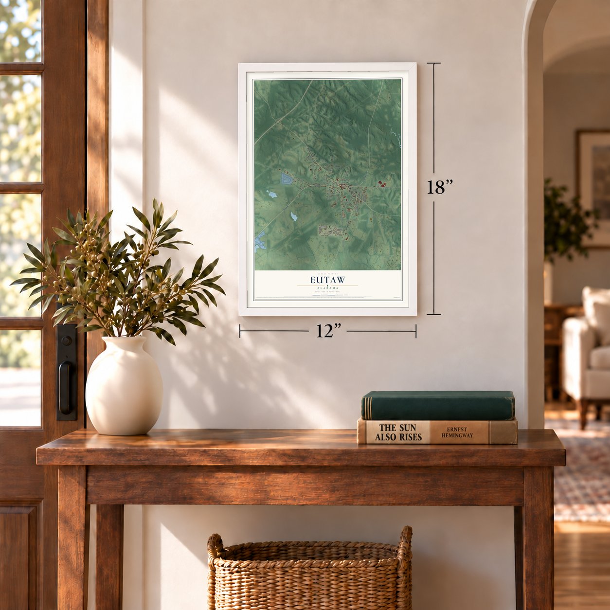
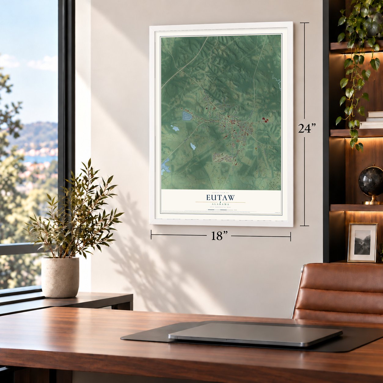
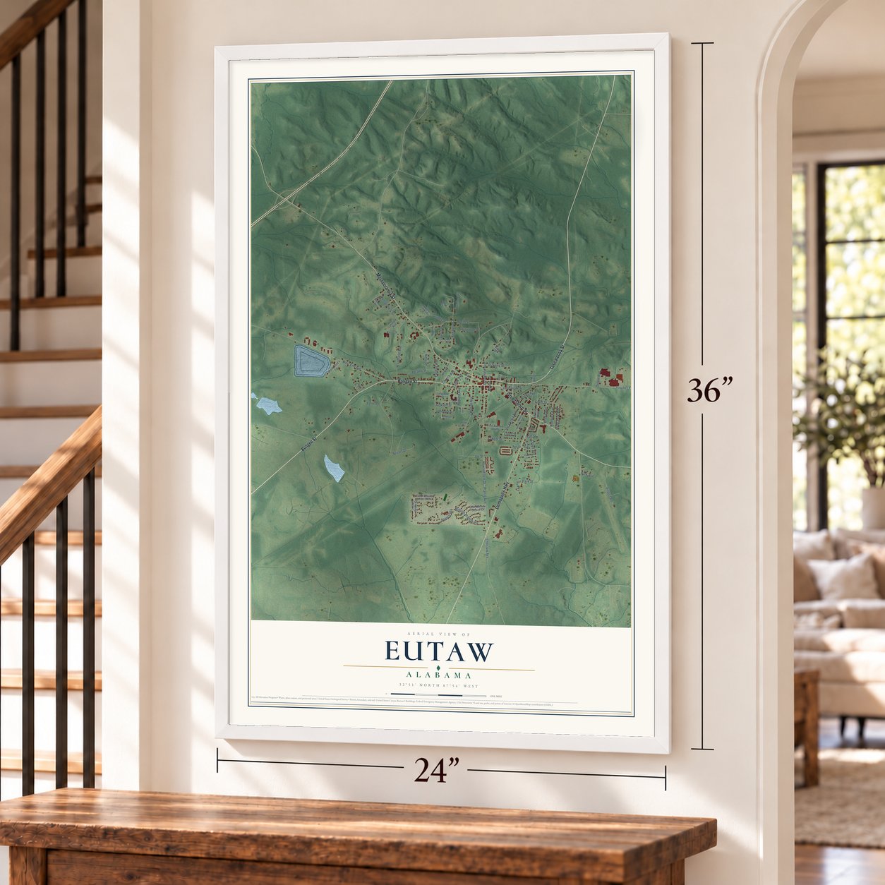
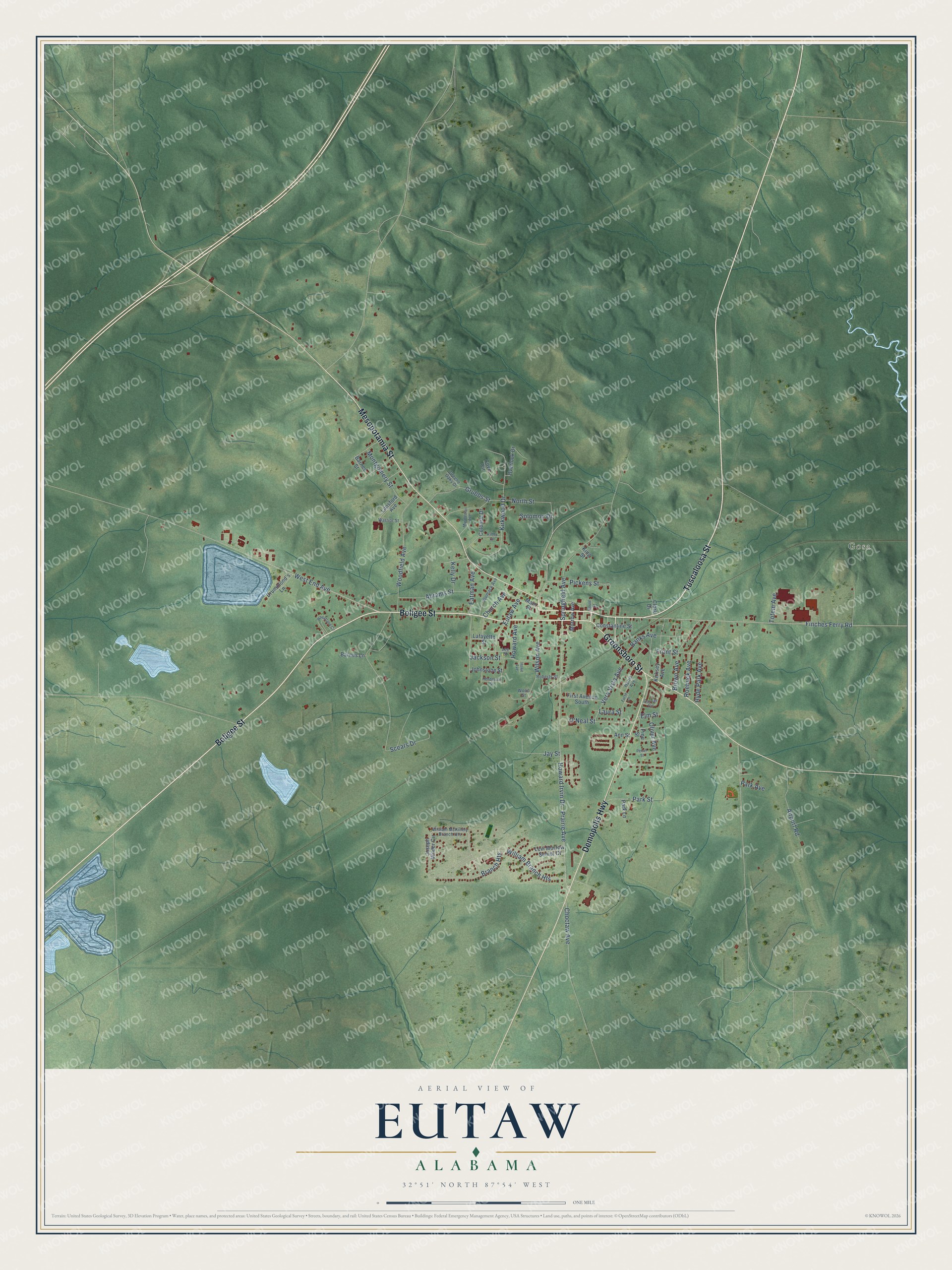
Eutaw, Alabama Map Art
Building by building, with labeled streets and shaded relief.
12" x 18" Archival Matte Print
A Map of Home. A Work of Art.
Explore Eutaw, Alabama from a whole new perspective. Created using aerial imagery and detailed geographic data, this map captures Eutaw building by building, with labeled streets, familiar landmarks, and shaded topographical relief that highlights the natural contours of the landscape.
Combining modern data with the timeless character of a vintage atlas, this map is just as interesting up close as it is beautiful on the wall. Whether you grew up in Eutaw, spent memorable years there, or call it home today, this unique map is a great way to celebrate a place that means something to you. Zoom in on the preview to look for your street, and then order a print to put your memories on the wall.
Three ways to hang it
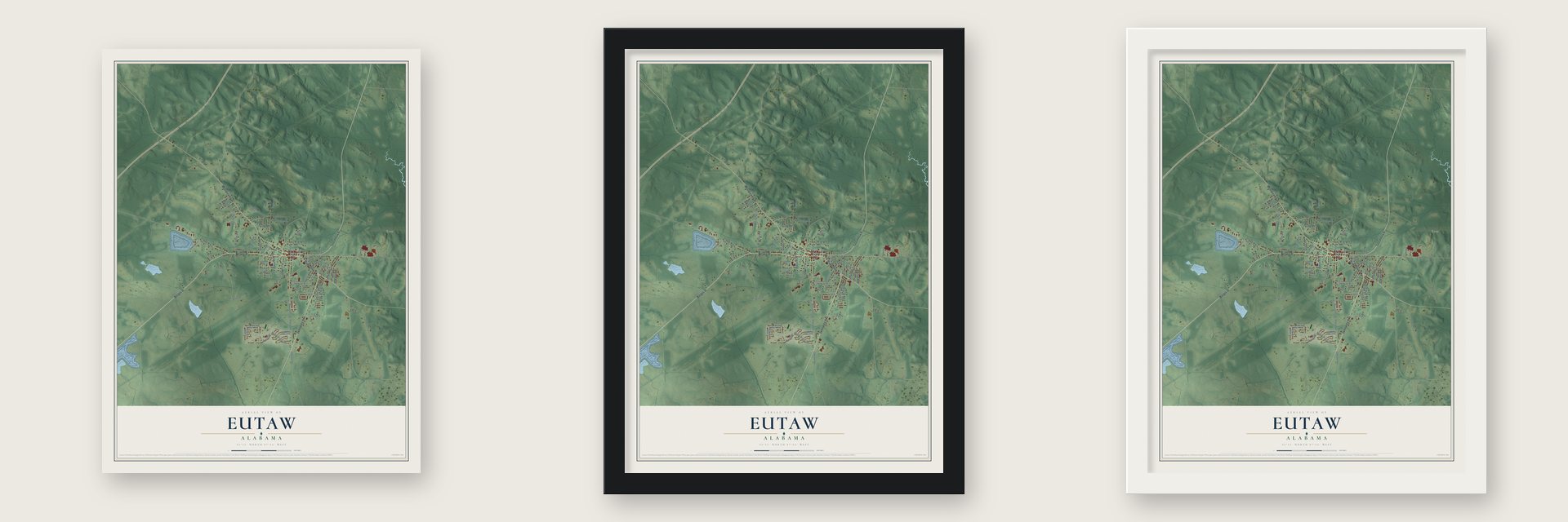
Unframed archival matte, a black wood frame or a white wood frame.
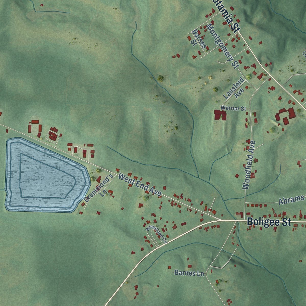
Up close
Geography Worth Displaying
This map was created using accurate cartographic data and authoritative geographic sources, including the U.S. Geological Survey and the Census Bureau. The map brings together terrain, waterways, roads, and building detail. The majority of the streets are labeled, houses are accurately depicted, and the topography is derived from government sources. Combining local data with carefully composed color and shading leads to this beautifully detailed Eutaw artwork for your wall.
Rather than simply showing street outlines, we’ve included as many of the street names as we could reasonably fit on the map while keeping their names legible. Zoom in on the high resolution preview to see exactly what’s on the map. We truly set out to create a statement piece for anyone who loves Eutaw. So whether it’s for you, or a gift for someone you love, we hope this map of Eutaw brings back fond memories.

Find your street
Names on the Eutaw map
Every name below is printed on this map. Look for your street, your school, the park where you played, or the pond down the road.
Places and landmarks1
- Gosa
Streets and roads82
- Boligee Street
- Tuscaloosa Street
- Mesopotamia Street
- Greensboro Street
- Demopolis Highway
- Wilson Avenue
- Howard Irvin Drive
- Banks Avenue
- Branch Heights
- Prairie Avenue
- West End Avenue
- Choctaw Avenue
- Church Avenue
- Finches Ferry Road
- Scears Drive
- Park Avenue
- Springfield Avenue
- Kirkwood Drive
- North Street
- Woodfield Avenue
- Eatman Avenue
- William Branch Heights
- Park Street
- Roebuck Avenue
- Eutaw Avenue
- Vera Vista Avenue
- Brown Avenue
- Airport Road
- O'Neal Street
- Pickens Street
Show all 82 streets
- Abrams Street
- Montgomery Street
- Grubbs Street
- Jackson Street
- Front Street
- Elm Street
- Hyde Park Avenue
- Jay Street
- Totem Avenue
- Howard Avenue
- Oliver Avenue
- Solomon Drive
- Kelly Drive
- Laura Street
- Joseph Wilder Circle
- Levi Morrow Senior Court
- Kirksey Avenue
- Main Street
- Overlook Drive
- Morrow Avenue
- First Avenue South
- Drummond's Lane
- Constantine Street
- Pine Street
- Johnstone Street
- Lansford Avenue
- Colonial Drive
- Barnes Lane
- Lafayette Street
- Barnes Street
- Park Lane
- Cove Circle
- Clark Drive
- Ann Street
- King Street
- Carver Circle
- William McKinely Branch Heights
- Harris Avenue
- Womack Avenue
- Lee Street
- Roberts Street
- Warrior Street
- Greene Oaks Drive
- Wood Street
- Wheatland Circle
- Myrdledian Avenue
- Furse Lane
- Pecan Street
- Ashby Circle
- Henderson Street
- Gould Street
- Howe Avenue
Names are listed as they appear on the printed map. Zoom into the product photos to find them.
About Eutaw, Alabama
Eutaw is a city of 2,937 people and the county seat of Greene County, in the Black Belt of west-central Alabama. The settlement grew up around the time the county was created on December 13, 1819, and its first name was Mesopotamia. In 1838 the county gave up Erie, its old seat on the Black Warrior River, because that town kept flooding and kept falling sick.
The new seat was laid out in December 1838 and renamed Eutaw for Nathaniel Greene's Revolutionary War victory at Eutaw Springs, South Carolina. The legislature incorporated it on January 2, 1841. Planters and merchants made it the trading center for a cotton county, and the planters, whose wealth rested on the labor of enslaved African Americans, built fine homes in town. Today 27 buildings from before the Civil War in Eutaw are listed on the National Register.
“a segregated island in an integrated sea”
- The Eutaw RangersDuring the Mexican-American War of 1846-48, Eutaw sent its own company of soldiers, the Eutaw Rangers. Their captain, Sydenham Moore, later went to Congress, and the company fought in the Battle of Vera Cruz.
- Violence in 1870The courthouse burned in 1868, most likely to destroy the records of some 1,800 lawsuits that freedmen had filed against planters. On March 31, 1870, masked Klansmen shot the Republican county solicitor, Alexander Boyd, at his hotel. On October 25 a white mob attacked a rally of 2,000 Black Republicans on the courthouse square, killing four and wounding about 54. Fear kept most Black voters home that fall, and the Democrat won the governor's race.
- A sheriff stops a lynchingOn May 16, 1892, a mob of about 50 men took a Black prisoner, Jim Jones, out of the Greene County jail, planning to hang him in Carrollton. Sheriff Cullen and Deputy Sheriff E. C. Meredith gathered a posse, followed the mob into Pickens County, held it at gunpoint and brought Jones back to Greene County.
- The march on city hall, 1984Greene County elected a Black majority to its commission in 1969, but Eutaw kept an all-white council. In 1984 State Representative Lucius Black proposed taking nearby Black farming communities into the city, and State Senator Earl Goodwin blocked the bill with a filibuster. That summer the Reverend Joseph Lowery led 200 Black residents to city hall, Goodwin gave in, voters approved the annexation, and Black candidates won council seats at the next election.
- The Eutaw PilgrimageEvery October the Greene County Historical Society opens many of the town's private historic homes for the Eutaw Pilgrimage. The society runs a museum of local history in the Vaughan-Morrow House, and visitors can also see the Coleman-Banks House of 1847. Each August the town holds the Black Belt Roots Festival, with blues and gospel music, crafts, handmade quilts and food.
Keep exploring Alabama
Eutaw is one of 675 Alabama towns we've mapped. Every dot on the map is a print of its own.
The search covers every state, Alabama first.
Near Eutaw
Order 2 or more town maps and save 10%. Shown in the size and finish you picked above, so they hang as a set.
- Boligee 12" x 18" / Archival Matte Print $39.99
- Akron 12" x 18" / Archival Matte Print $39.99
- Union 12" x 18" / Archival Matte Print $39.99


More maps nearby: Forkland, Gainesville, Epes, Moundville and Greensboro.
The art of mapping a place
How This Map Was Made
Real places. Remarkable detail. Discover the layers that turn geographic data into a map of home.

The view from above
Aerial imagery reveals the character of the land: woodland, open fields, and the patterns of a place.

The shape of the land
Elevation data brings hills, valleys, and subtle changes in the landscape into view.

The details of home
Roads, waterways, and building footprints come together to make the map feel unmistakably local.

Geography becomes art
Considered color, shading, and typography bring the layers together in a map made for your wall.


Process illustrated with Mendon, Massachusetts. Aerial imagery: USDA NAIP. Terrain: USGS 3D Elevation Program. Map details and finished artwork: KNOWOL.
The Details
About This Print
Choose an archival matte print, or a black or white Ayous wood frame. The archival matte print is unframed.
Select your size and finish above to see the matching product image and price.
Materials & Craftsmanship
A contemporary map with the character of a classic atlas, printed on archival matte paper. Optional frames are made from Ayous wood.
Your printed map does not include the watermark shown in the full-map preview.
Shipping & Delivery
Free shipping within the United States. Every print is made to order in the USA.
Buying a gift? Add a note in your cart and we'll include it. We never put prices in the package.
Prints ship within 2 to 3 business days. Allow 7 to 10 days total from ordering for delivery. Timing may vary during holidays or periods of high order volume.
Read our shipping policy.
Returns and damaged prints
Each print is made to order. Change-of-mind refunds are not available after production.
If your print arrives damaged, misprinted or incorrect, contact support@knowol.com within 30 days of receiving it. Include your order number, photos and a description of the issue.
Read our full refund and replacement policy. For questions about your order, email support@knowol.com.