
Search for another town


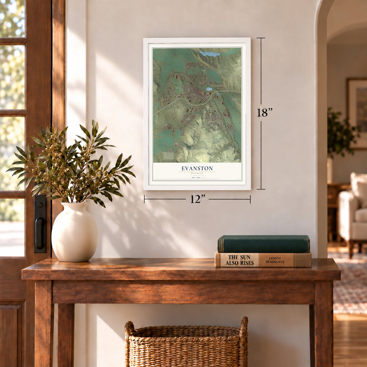
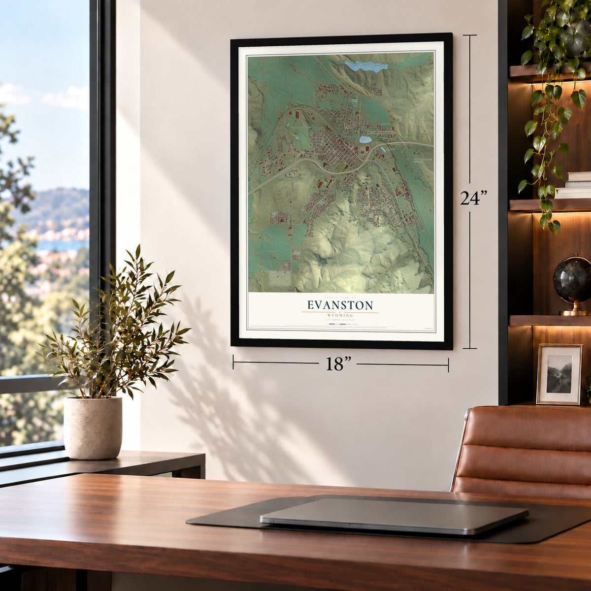
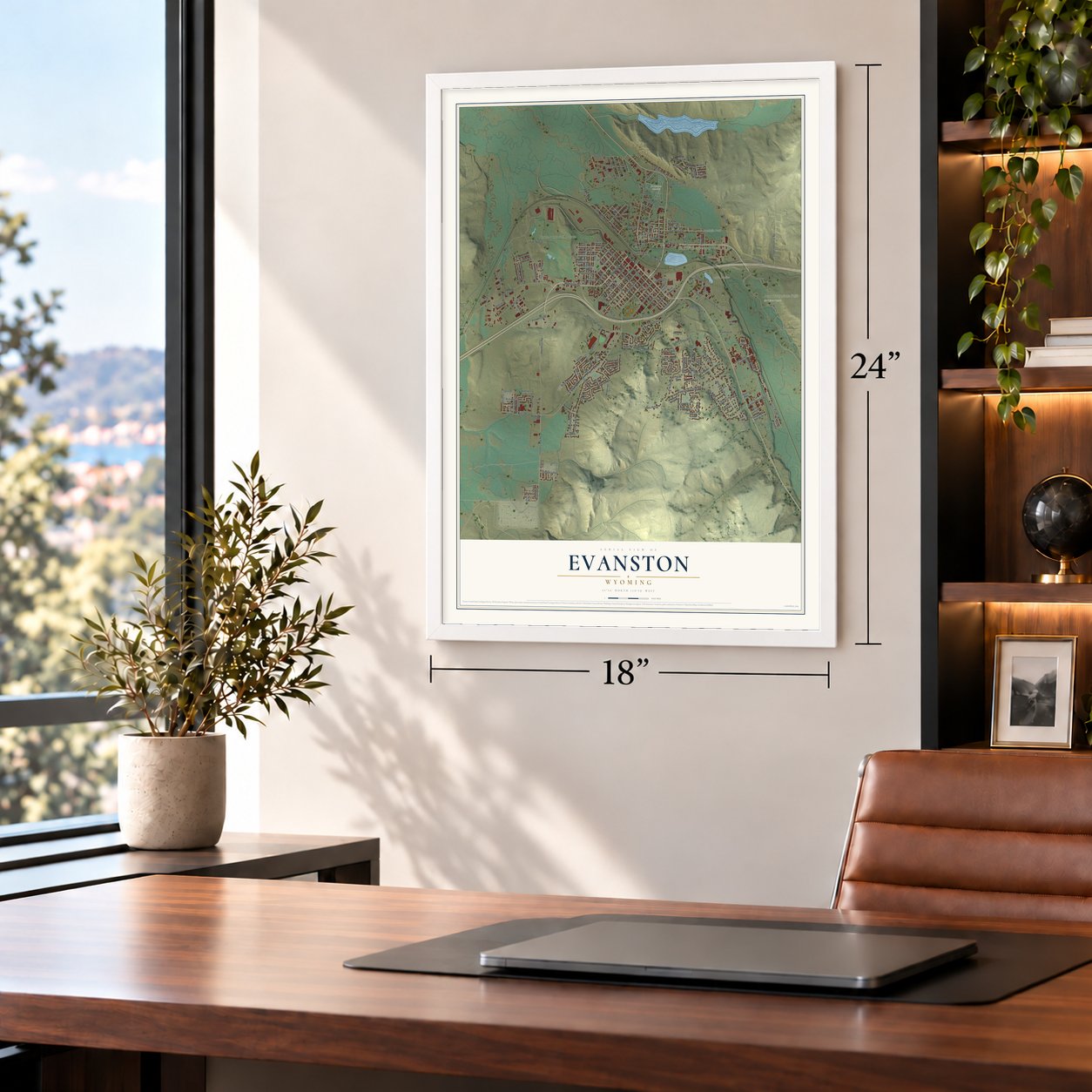

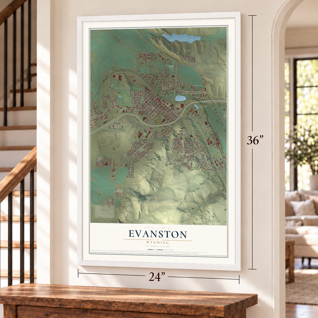
Free U.S. delivery 7 to 10 days after you order
Evanston, Wyoming Map Art
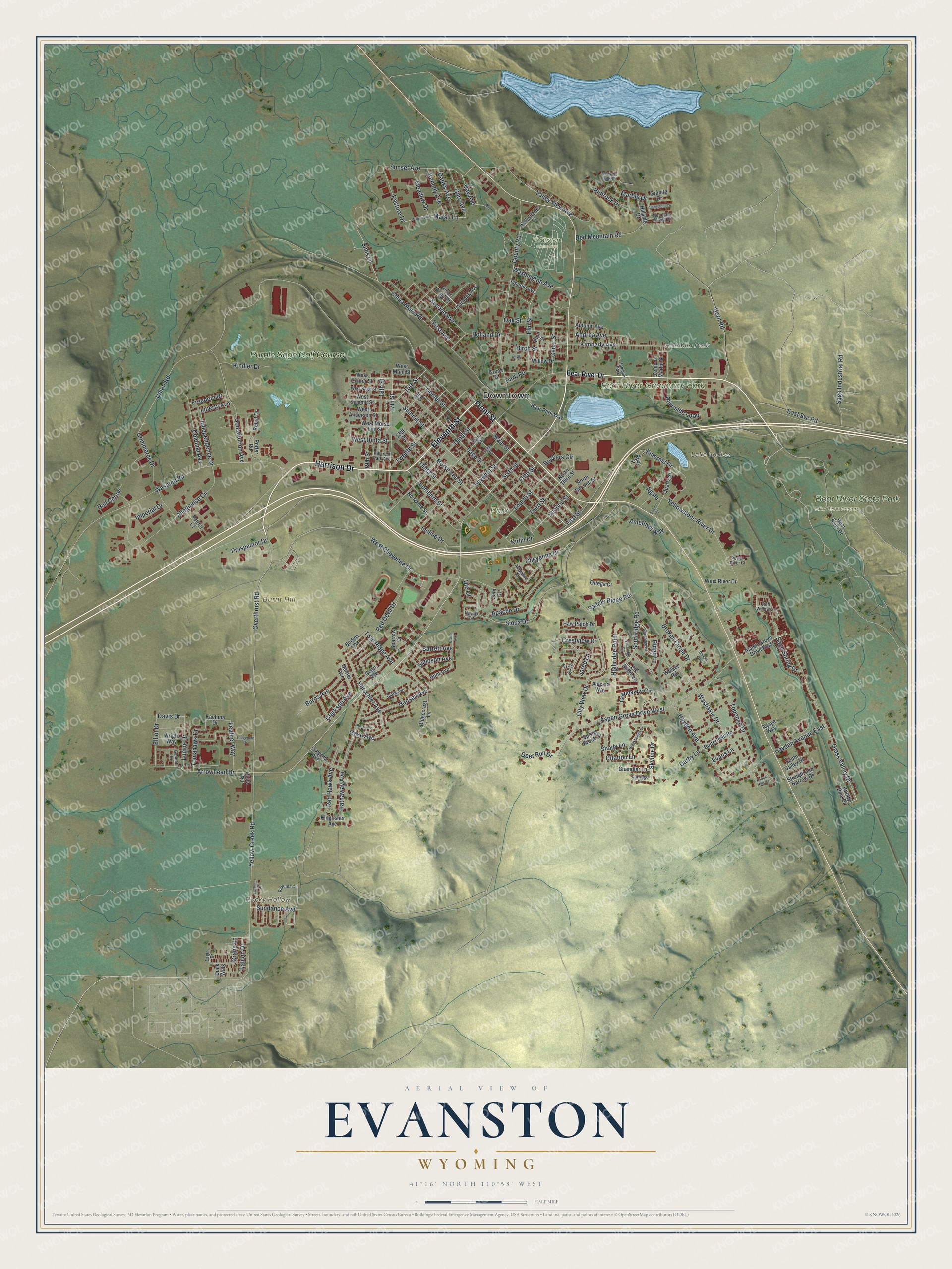
A new map of Evanston, Wyoming, made in 2026 and printed to order on thick archival matte paper.
12" x 18" Archival Matte Print
A Map of Home. A Work of Art.
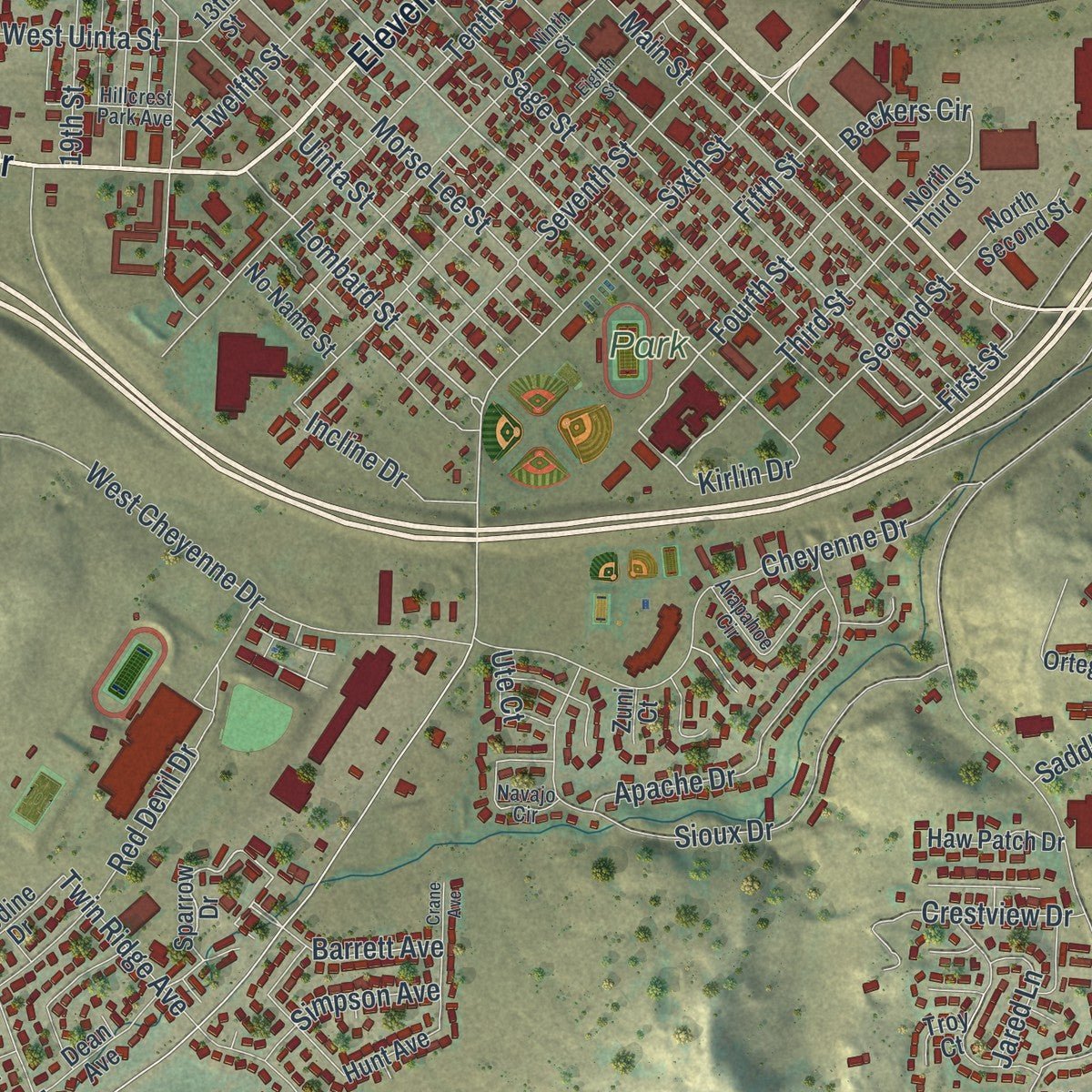
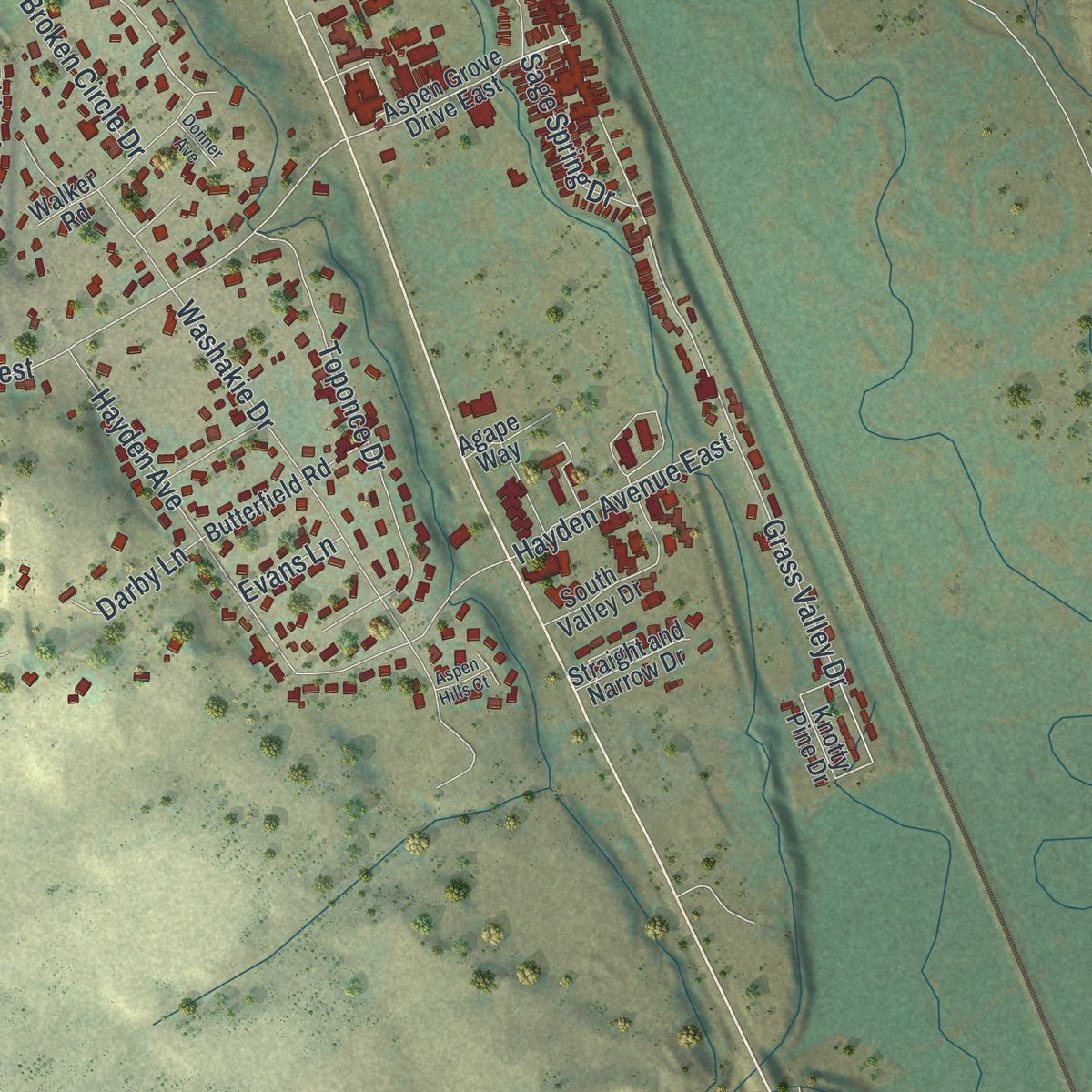
Explore Evanston, Wyoming from a whole new perspective. Created using aerial imagery and detailed geographic data, this map captures Evanston building by building, with labeled streets, familiar landmarks, and shaded topographical relief that highlights the natural contours of the landscape.
Combining modern data with the timeless character of a vintage atlas, this map is just as interesting up close as it is beautiful on the wall. Whether you grew up in Evanston, spent memorable years there, or call it home today, this unique map is a great way to celebrate a place that means something to you. Zoom in on the preview to look for your street, and then order a print to put your memories on the wall.
Three ways to hang it
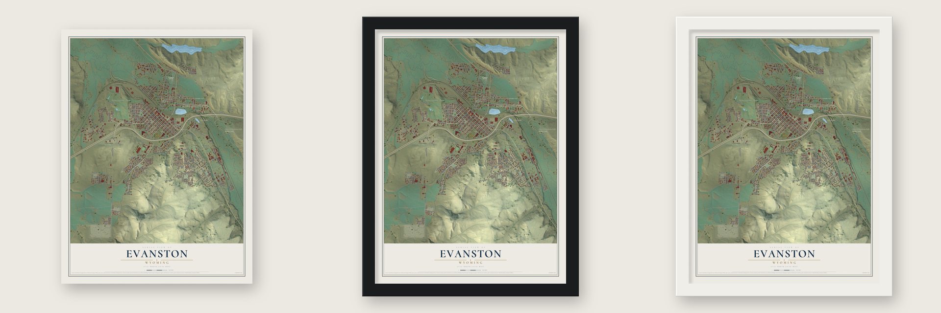
Unframed archival matte, a black wood frame or a white wood frame.
Up close
Geography Worth Displaying
This map was created using accurate cartographic data and authoritative geographic sources, including the U.S. Geological Survey and the Census Bureau. The map brings together terrain, waterways, roads, and building detail. The majority of the streets are labeled, houses are accurately depicted, and the topography is derived from government sources. Combining local data with carefully composed color and shading leads to this beautifully detailed Evanston artwork for your wall.
Rather than simply showing street outlines, we’ve included as many of the street names as we could reasonably fit on the map while keeping their names legible. Zoom in on the high resolution preview to see exactly what’s on the map. We truly set out to create a statement piece for anyone who loves Evanston. So whether it’s for you, or a gift for someone you love, we hope this map of Evanston brings back fond memories.
Read the story behind this map of Evanston, Wyoming from 2026.

About Evanston, Wyoming
Evanston is a city of 11,747 people and the county seat of Uinta County, close to the Utah line. It began in 1868 as a division point on the Union Pacific, the company laying track for the first transcontinental railroad. In November 1868, as the crews drew near, Harvey Booth set up a saloon and restaurant in a tent close to today's Front Street, and the first train pulled in on December 16.
Soon after, railroad managers ordered the end of the line moved 12 miles west to Wahsatch, and within three days nearly the whole town had packed up and followed. Evanston looked like one more short-lived end-of-track camp until June 1869, when the headquarters came back. Timber and water along the Bear River made it a fueling stop for locomotives, and a machine shop and roundhouse built in 1871 kept the town going long after many rail camps faded.
- Named for a railroad engineerMost accounts say the town's name honors James A. Evans, who worked as a civil engineer on the Union Pacific line. Another source credits John Evans, the second governor of Colorado Territory.
- Chinatown and its Joss houseMany of Evanston's early railroad workers were Chinese, and they made their homes in a small Chinatown on the north side of the tracks. That community shrank over the years, and the last two of the first immigrants died in the 1930s. Their Joss house burned in 1922. In 1990 the town rebuilt it on Depot Square, where it now holds a scale model of the old Chinatown.
- A territorial asylum in 1887In 1887 the Territorial Legislature founded the Wyoming Insane Asylum on 100 acres south of downtown. It carries on today as the Wyoming State Hospital, a psychiatric hospital run by the Wyoming Department of Health. The Wyoming Board of Charities and Reform ran it until a state constitutional amendment, passed in November 1990, did away with that board.
- A Carnegie library from 1906The Uinta County Museum on Depot Square began as a Carnegie library, built in 1906 in the Classical Revival style. Restored railroad buildings, including a roundhouse, still stand in the downtown area.
- Lincoln Highway to oil boomEvanston became a major stop on the Lincoln Highway, which ran through town on Front Street and Harrison Drive before heading southwest toward Echo Canyon in Utah. Interstate 80 now follows the railroad through the area. An oil boom in the 1980s brought massive growth, and newer drilling for natural gas has helped the local economy again.
Find your street
Names on the Evanston map
Every name below is printed on this map. Look for your street, your school, the park where you played, or the pond down the road.
Places and landmarks10
- Downtown
- Burnt Hill
- Hamblin Park
- Rocky Hollow
- Lake Louise
- Bear River State Park
- Bear River Greenway Park
- Park
- Evanston Cemetery
- Purple Sage Golf Course
Streets and roads207
- Harrison Drive
- Eleventh Street
- Front Street
- Center Street
- Lombard Street
- Summit Street
- Fourth Street
- Third Street
- First Street
- Second Street
- 15th Street
- Yellow Creek Road
- Overthrust Road
- Aspen Grove Drive West
- Sixth Street
- Morse Lee Street
- Broken Circle Drive
- Cedar Street
- Pasture Drive
- Union Road
- Grass Valley Drive
- Horn Road
- Second Avenue
- West Uinta Street
- Marsh Lane
- City View Drive
- West Cheyenne Drive
- Main Street
- County Road
- First Avenue
Show all 207 streets
- Sage Street
- Wasatch Road
- Southridge Road
- Allegiance Circle
- China Mary Road
- Hayden Avenue
- Hathaway Avenue
- Washakie Drive
- Sioux Drive
- 17th Street
- Tenth Street
- Cheyenne Drive
- Sunset Avenue
- East Svc Road
- Constitution Avenue
- Yellowstone River Drive
- Toponce Drive
- Twelfth Street
- Commerce Drive
- Seventh Street
- Red Mountain Road
- Uinta Street
- Arrowhead Drive
- Sage Spring Drive
- Valley View Avenue
- 18th Street
- 19th Street
- Kimberly Avenue
- Apache Drive
- Elm Street
- Herschler Avenue
- Twin Ridge Avenue
- Emerald Drive
- Red Devil Drive
- Sage Industrial Road
- Grandview Circle
- Gage Avenue
- Hansen Avenue
- Colonial Avenue
- Red Hawk Avenue
- Burns Avenue
- Incline Drive
- Crestview Drive
- Washington Avenue
- Tomahawk Drive
- Deer Run Drive
- Riverside Loop
- Highridge Point
- Andrea Avenue
- Birch Street
- Sims Lane
- Rimrock Drive
- Hayden Avenue East
- Independence Drive
- Falcon Drive
- Lupine Drive
- Clarkson Avenue
- Fifth Street
- Marble Drive
- Feather Way
- Elliot Drive
- Rail Center
- Kenedy Avenue
- Danks Avenue
- Meadow Drive
- Kindler Drive
- Gary Avenue
- Citation Lane
- Crane Lane
- Sundance Avenue
- Day Avenue
- Saddle Ridge Road
- Simpson Avenue
- Liberty Avenue
- Amethyst Way
- Park Road
- Prospector Drive
- Ridge Lane
- Freedom Drive
- Skyline Drive
- Barrett Avenue
- Imperial Drive
- Darby Lane
- Kirlin Drive
- Jared Lane
- Holland Drive
- Beckers Circle
- Agate
- Shady Lane
- Davis Drive
- Ute Court
- Evans Lane
- Oak Street
- Bear River Drive
- North Third Street
- Sparrow Drive
- Aspen Grove Drive East
- Knotty Pine Drive
- 13th Street
- Garner Avenue
- Bear Park Way
- West Center Street
- Zemp & Martin Street
- Ridgecrest Lane
- Porter Road
- South Valley Drive
- Walker Road
- Willow Drive
- West Summit Street
- Butterfield Road
- Gregory Avenue
- West Anderson Street
- Pine Street
- Ortega Court
- West Morse Lee Street
- Autumn Avenue
- Dean Avenue
- Alecias Way
- Chandler Lane
- Thornock Avenue
- Wind River Drive
- Elk Ridge Lane
- Haw Patch Drive
- North Second Street
- Quartz Street
- River Bend Court
- Schwitzers Court
- No Name Street
- Spring Brook Drive
- Granite Drive
- Bodine Drive
- Straight and Narrow Drive
- Wright Way
- Lincoln Avenue
- Hillside Drive
- Kingfisher Avenue
- Patriot Court
- Kachina Drive
- Hunt Avenue
- Agape Way
- Rebel Drive
- Ruby Street
- Child Road
- West Main Street
- Troy Court
- Greek Court
- Duck Walk
- Zuni Court
- Ninth Street
- West Sage Street
- 14th Street
- Rawlins Circle
- Arapahoe Circle
- Navajo Circle
- Hillcrest Park Avenue
- Gannett Drive
- Mountain Village Drive
- Eagle Drive
- Clark Avenue
- Carriage Drive
- Red Willow Lane
- Power River Court
- Willow Way
- Ash Street
- Eighth Street
- Lodgepole Drive
- Brookhollow Drive
- Woodridge Lane
- Medicine Butte Drive
- Crane Avenue
- Vistaridge Circle
- Laramie Street
- Sandstone Drive
- Aspen Hills Court
- Zircon Street
- Ross Avenue
- Donner Avenue
Names are listed as they appear on the printed map. Zoom into the product photos to find them.
The art of mapping a place
How This Map Was Made
Real places. Remarkable detail. Discover the layers that turn geographic data into a map of home.

The view from above
Aerial imagery reveals the character of the land: woodland, open fields, and the patterns of a place.

The shape of the land
Elevation data brings hills, valleys, and subtle changes in the landscape into view.

The details of home
Roads, waterways, and building footprints come together to make the map feel unmistakably local.

Geography becomes art
Considered color, shading, and typography bring the layers together in a map made for your wall.


Process illustrated with Mendon, Massachusetts. Aerial imagery: USDA NAIP. Terrain: USGS 3D Elevation Program. Map details and finished artwork: KNOWOL.
The Details
About This Print
Choose an archival matte print, or a black or white Ayous wood frame. The archival matte print is unframed.
Select your size and finish above to see the matching product image and price.
Materials & Craftsmanship
A contemporary map with the character of a classic atlas, printed on archival matte paper. Optional frames are made from Ayous wood.
Your printed map does not include the watermark shown in the full-map preview.
Shipping & Delivery
Free shipping within the United States. Every print is made to order in the USA.
Buying a gift? Add a note in your cart and we'll include it. We never put prices in the package.
Prints ship within 2 to 3 business days. Allow 7 to 10 days total from ordering for delivery. Timing may vary during holidays or periods of high order volume.
Read our shipping policy.
Returns and damaged prints
Each print is made to order. Change-of-mind refunds are not available after production.
If your print arrives damaged, misprinted or incorrect, contact support@knowol.com within 30 days of receiving it. Include your order number, photos and a description of the issue.
Read our full refund and replacement policy. For questions about your order, email support@knowol.com.
Find your town
Looking for another city?
Find a map of home in our Wyoming collection, or any town in the country.
Nearby
Maps of towns near Evanston
Know someone from one of these towns? Their map makes a great gift.
 Bear River
, Wyoming
From $39.99See the map
 Robertson
, Wyoming
From $39.99See the map
 Fort Bridger
, Wyoming
From $39.99See the map
More maps nearby: Carter, Mountain View, Urie, Lyman and Oakley.